Elevation of Co Hwy 3, Erie, IL, USA
Location: United States > Illinois > Whiteside County > Erie Township > Erie >
Longitude: -90.042535
Latitude: 41.6126383
Elevation: 190m / 623feet
Barometric Pressure: 99KPa
Elevation Map:
Satellite Map:
Related Photos:
Hoopole, Yorktown & Tampico, Hooppole Depot

HY&T Hooppole, Illinois Depot 1952
Hoopole, Yorktown & Tampico #1315 Rear

Campaña

snowy dawn

Objects in the Mirror Are Closer Than They Appear

Eclipse Square Park; Prophetstown, Illinois

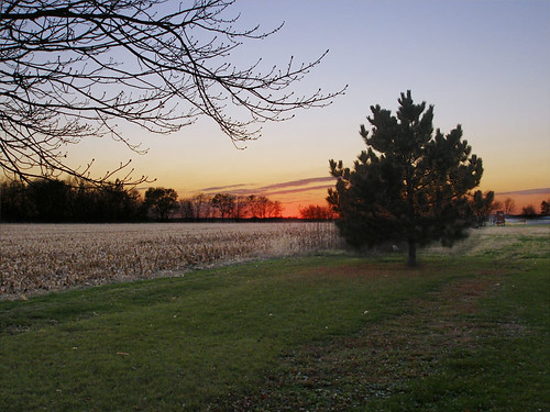
Burning Fields at Sunset
Blue Steel took a picture!
Blue Steel took a picture!

snowy street

here the summers are green and blue

In the Wind

In the Wind

harvest day

mud season
Twilight on the South Edge of Town; Prophetstown, Illinois
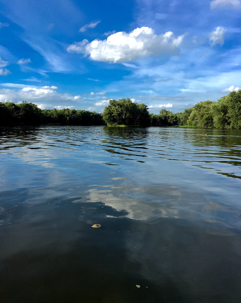
Rock River
Topographic Map of Co Hwy 3, Erie, IL, USA
Find elevation by address:

Places near Co Hwy 3, Erie, IL, USA:
Portland Township
Main St, Erie, IL, USA
Erie
Erie Township
Hillsdale
38th Ave N, Hillsdale, IL, USA
23835 E 1200th St
Hanna Township
Zuma Township
Hickory Hills Rd, Geneseo, IL, USA
Co Hwy 4, Hillsdale, IL, USA
2507 214th St N
2507 214th St N
2507 214th St N
2507 214th St N
Port Byron Township
218 S High St
Cherry St, Port Byron, IL, USA
Port Byron
Rapids City
Recent Searches:
- Elevation of 35 Governors Ln, Hilton Head Island, SC, USA
- Elevation of Orangevale, CA, USA
- Elevation of Doe Cir, Clinton, OH, USA
- Elevation of Narhe, Pune, Maharashtra, India
- Elevation of Martins Mill Ct, Eagle Rock, NC, USA
- Elevation of Kippen, Stirling FK8, UK
- Elevation of Sieveringer Straße, Sieveringer Str., Wien, Austria
- Elevation of Bratskaya Ulitsa, 24, Kurgan, Kurganskaya oblast', Russia
- Elevation of Paradisvegen, Biri, Norway
- Elevation of Crystal Cir, Birmingham, AL, USA