Elevation of Co Hwy 2, Gallion, AL, USA
Location: United States > Alabama > Marengo County > Gallion >
Longitude: -87.765838
Latitude: 32.5142938
Elevation: 49m / 161feet
Barometric Pressure: 101KPa
Elevation Map:
Satellite Map:
Related Photos:

Red Barn Restaurant, Demopolis, Alabama
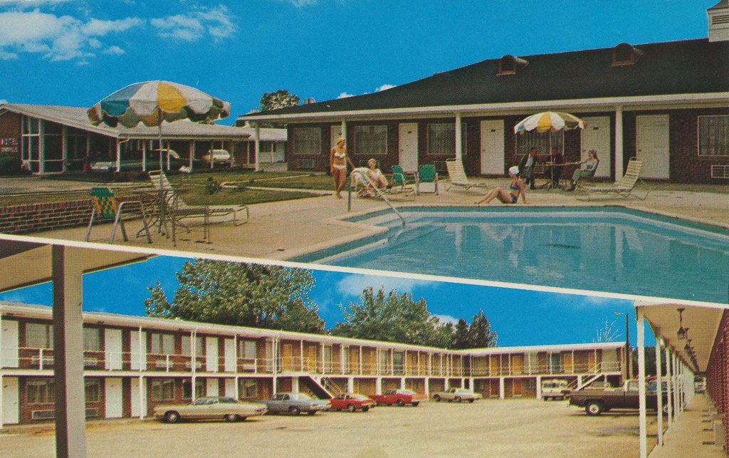
Motel Demopolis - Demopolis, Alabama
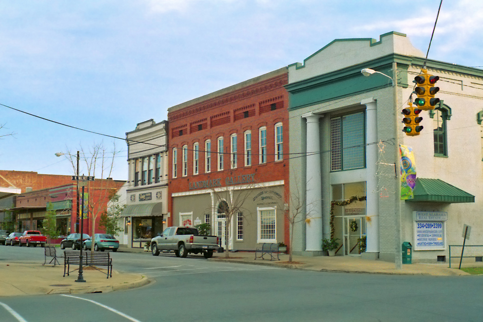
Demopolis Business District, Alabama
FullSizeRender 198
DSC_0077.jpg
DSC_0058.jpg
it was all a dream
WPA Photo 20131122 152831
WPA Photo 20131122 152832
WPA Photo 20131122 152827
WPA Photo 20131122 152834

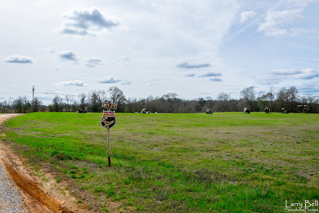
Forkland, AL - Bird's Farm (Hay Bale Art)

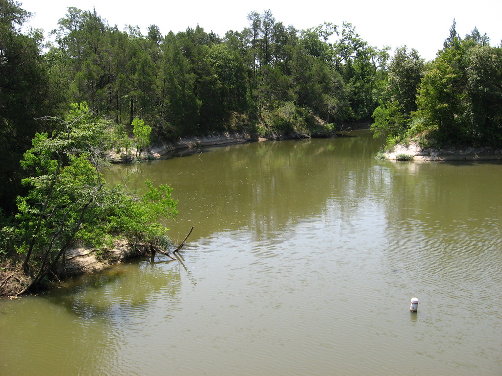
Demopolis, AL - Foscue Creek Park
WPA Photo 20131122 145442

guard cow
WPA Photo 20131122 145701

Demopolis, AL - Foscue Creek Park
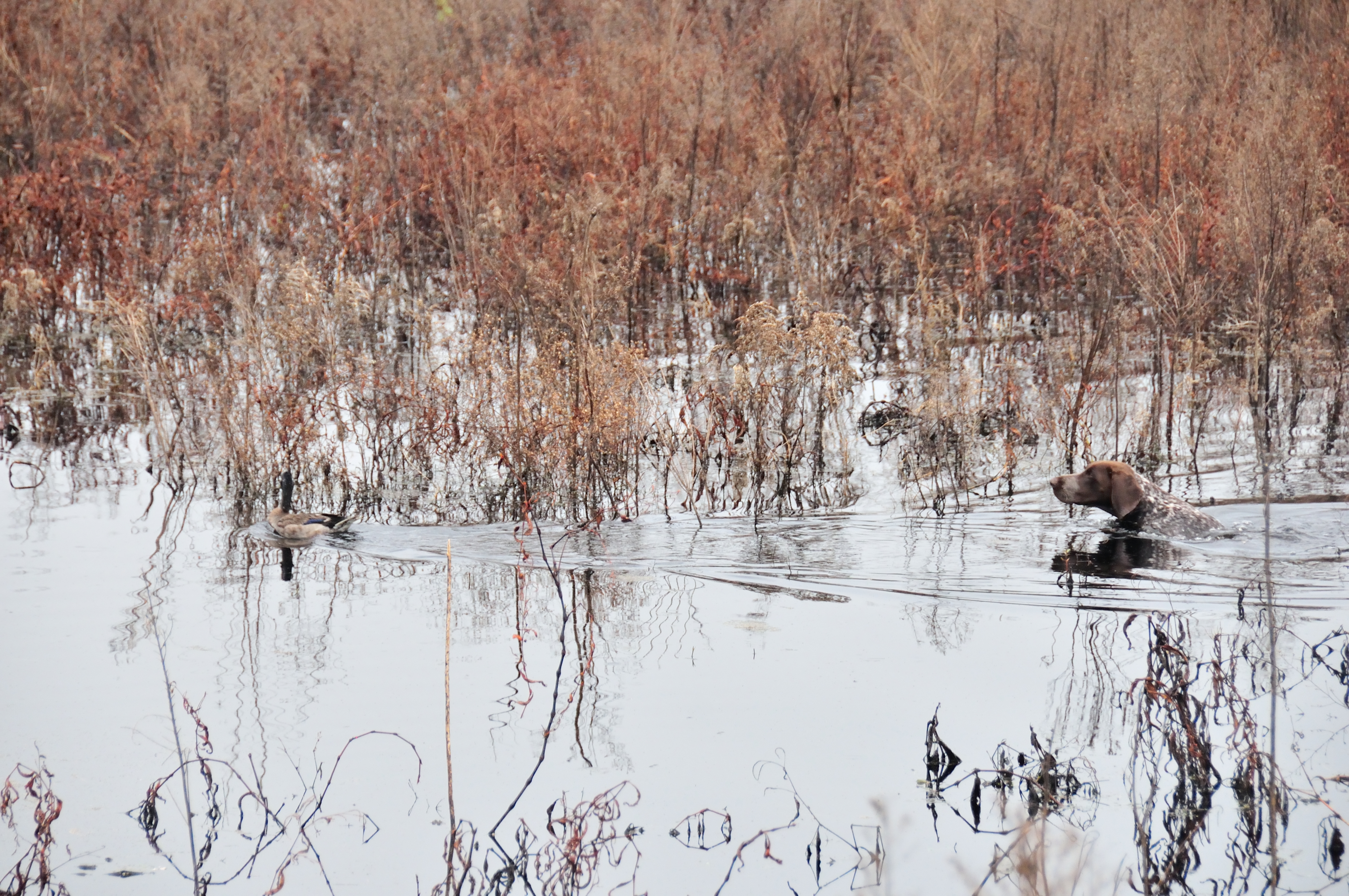
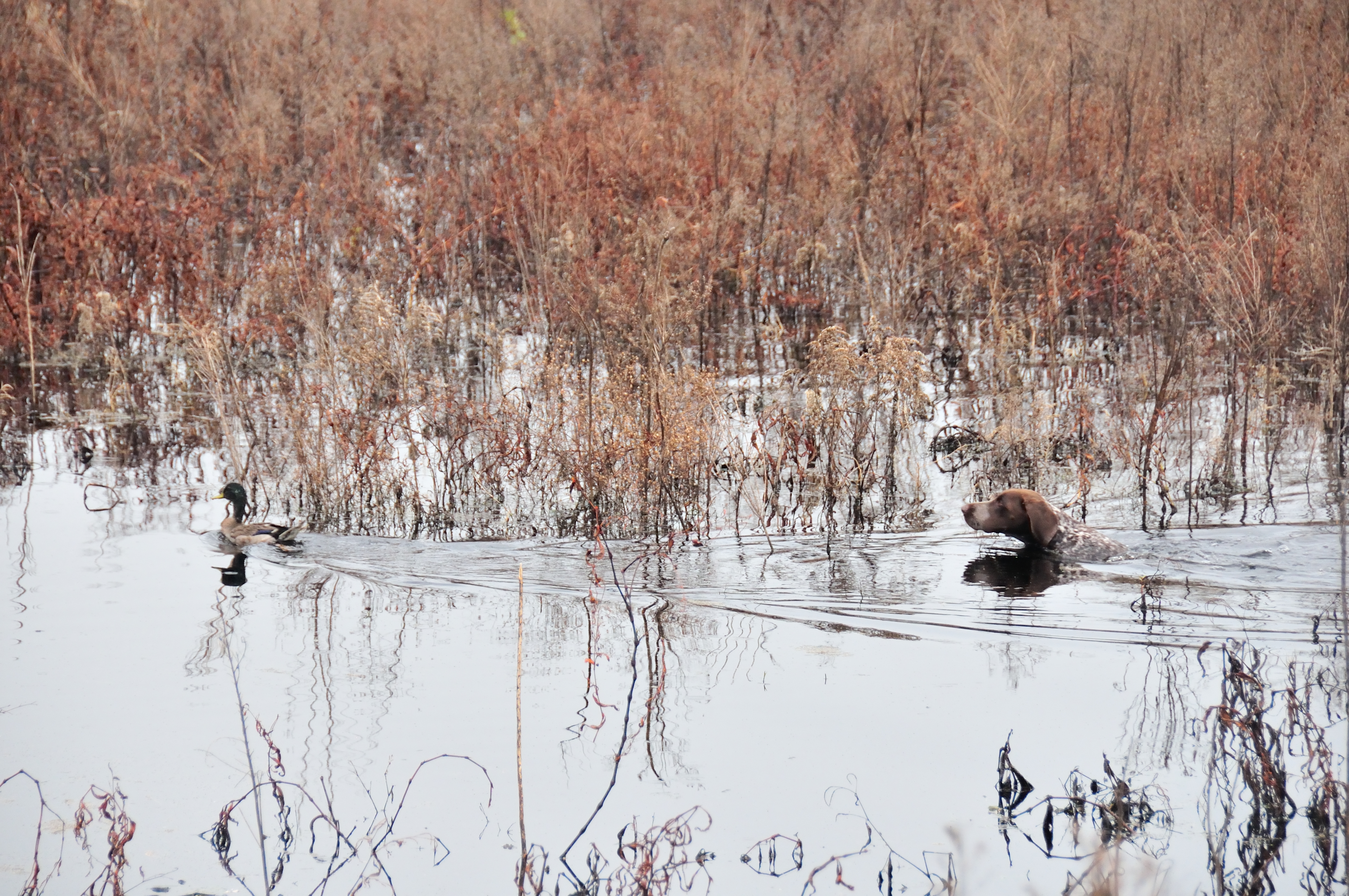
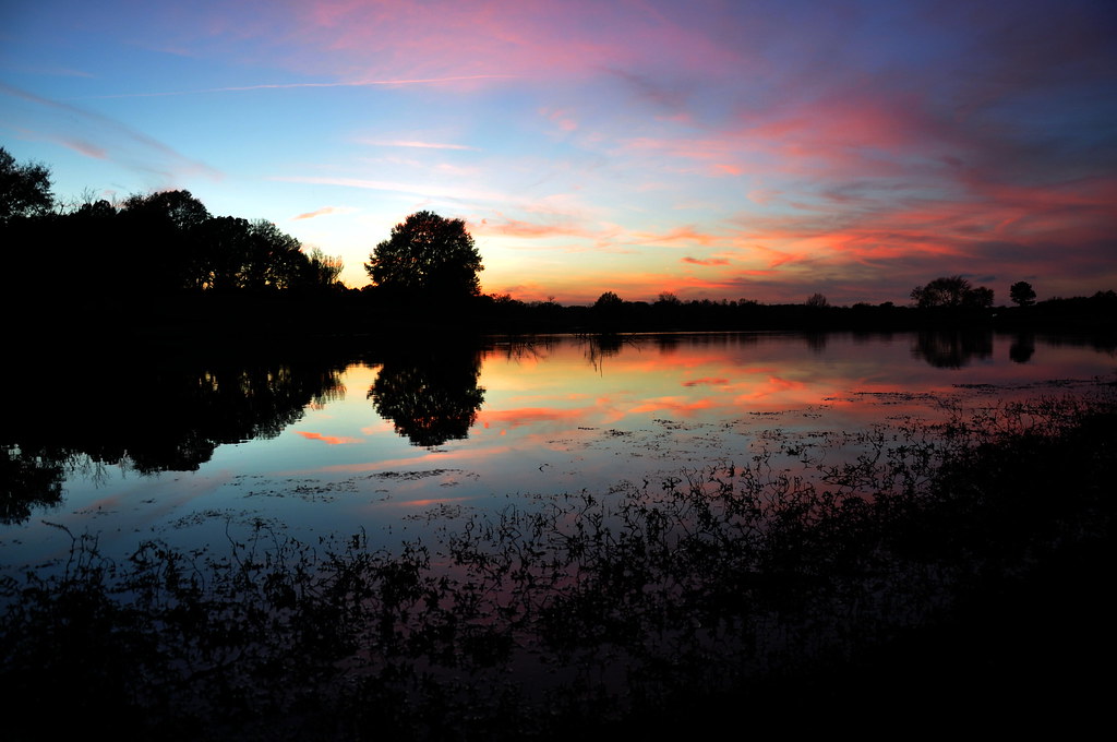
Day 26: Winter on the River

Demopolis, AL - Foscue Creek Park
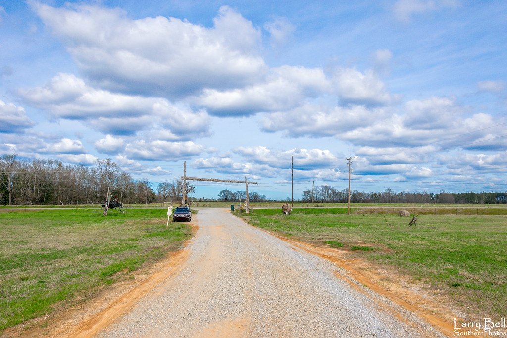
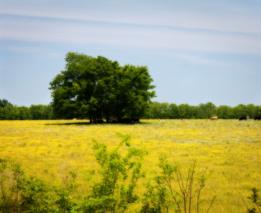
Farm Sunset

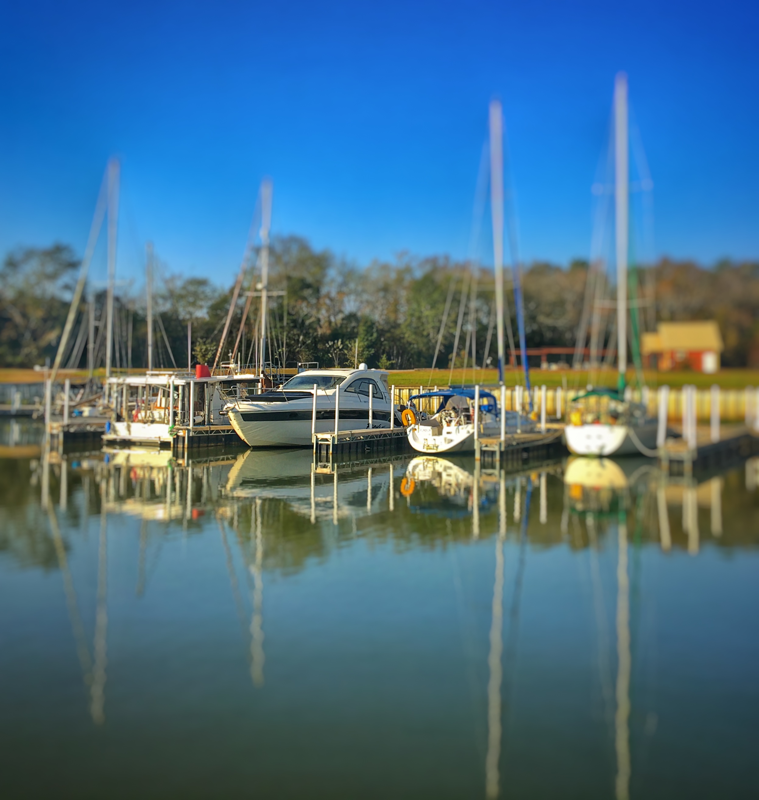
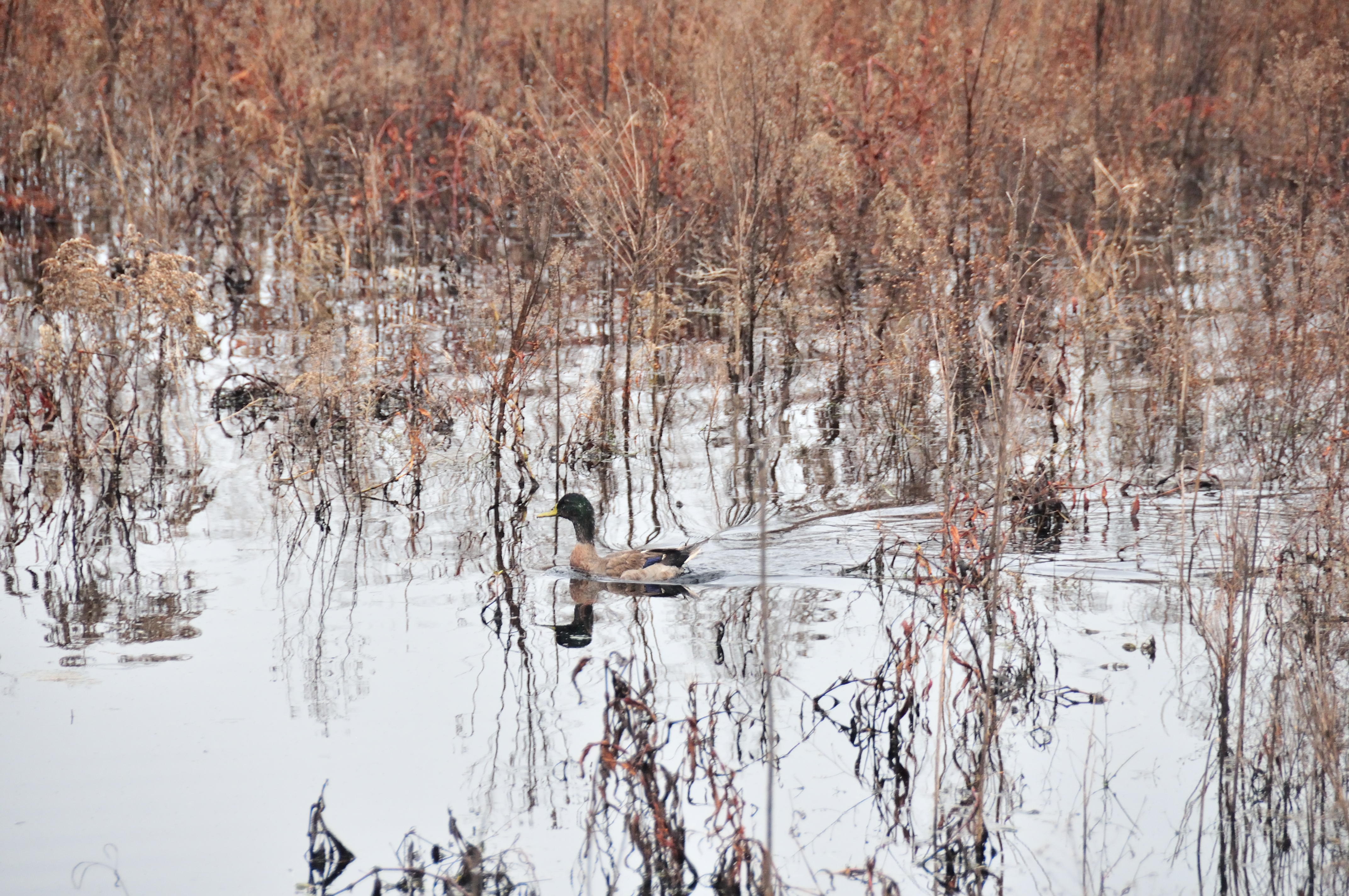
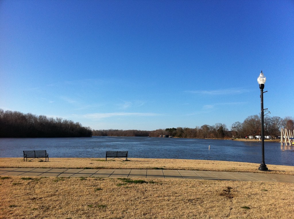
Tombigbee River, Demopolis
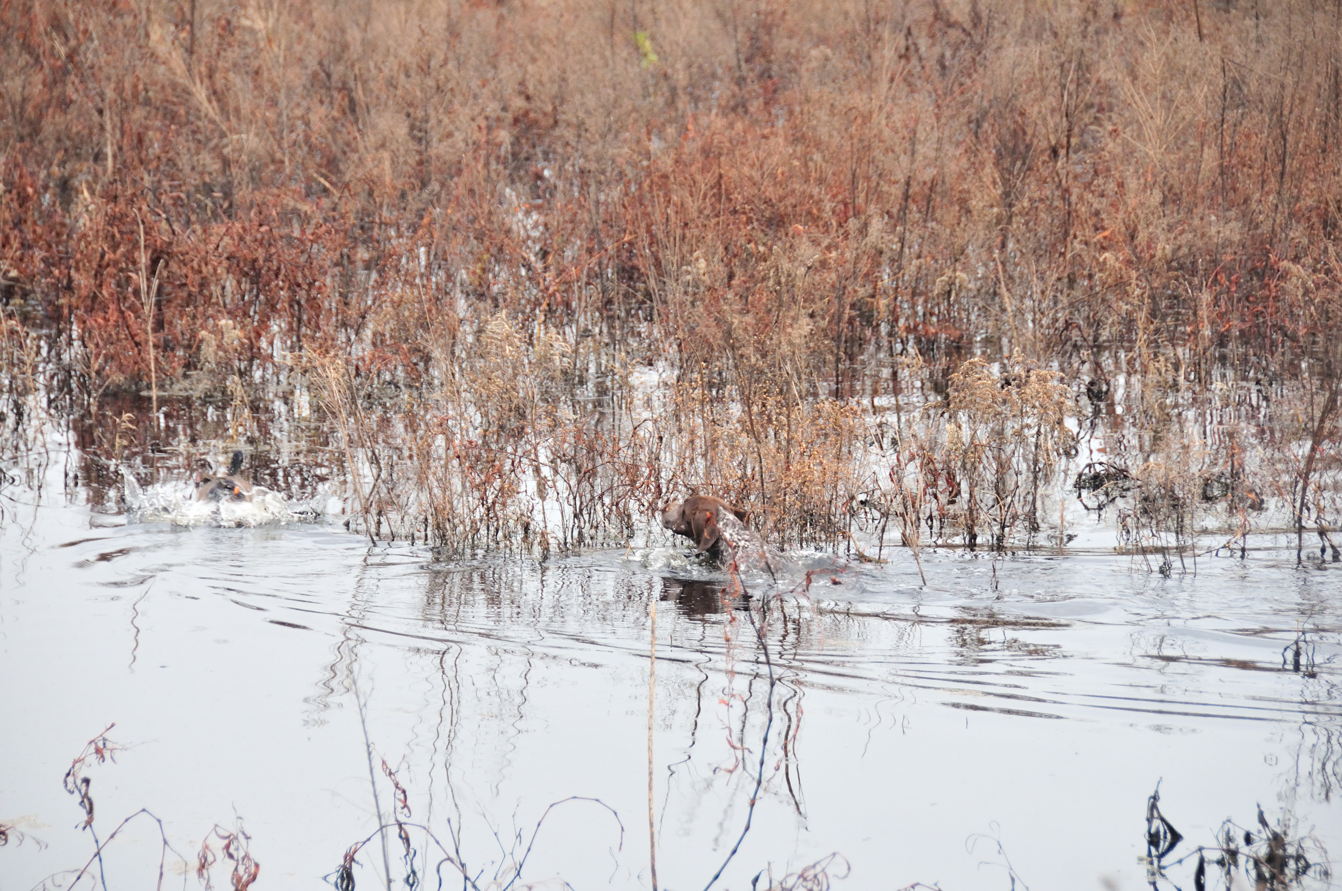
Tombigbee River, Demopolis

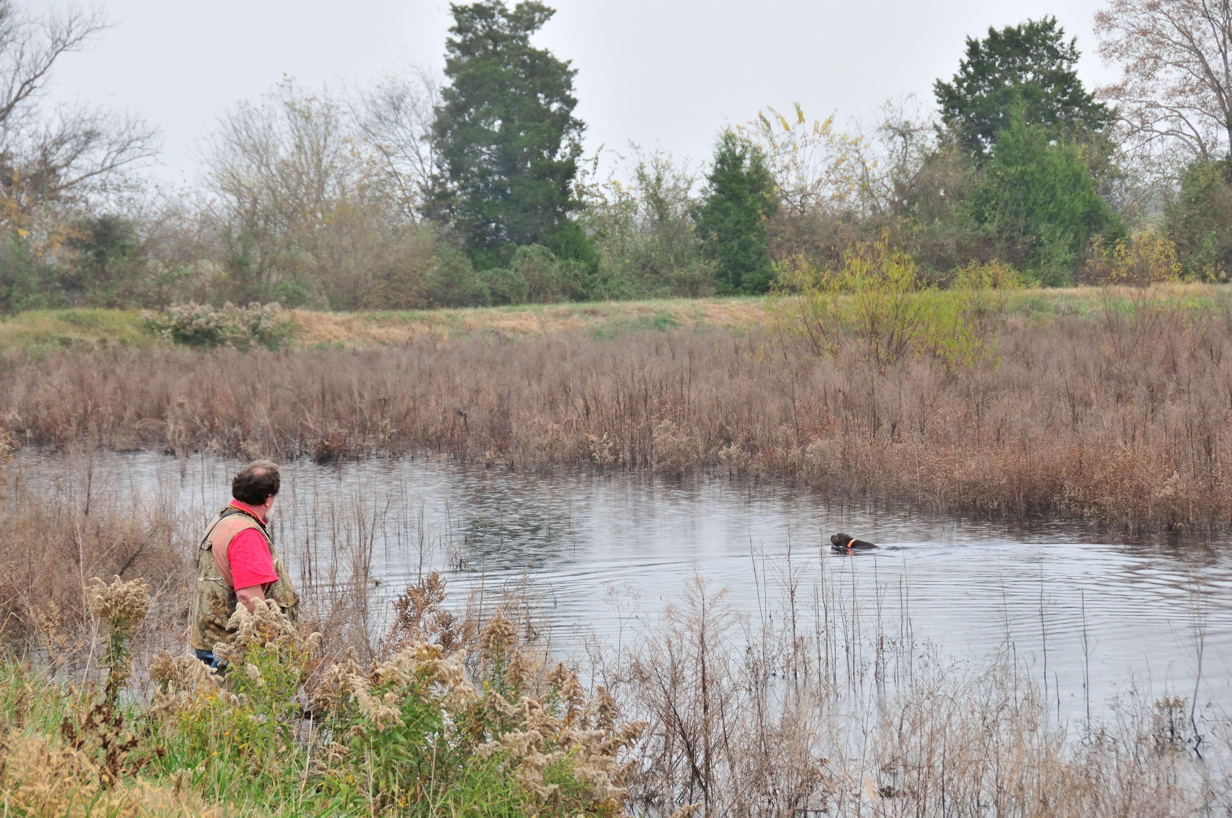
Tombigbee River, Demopolis

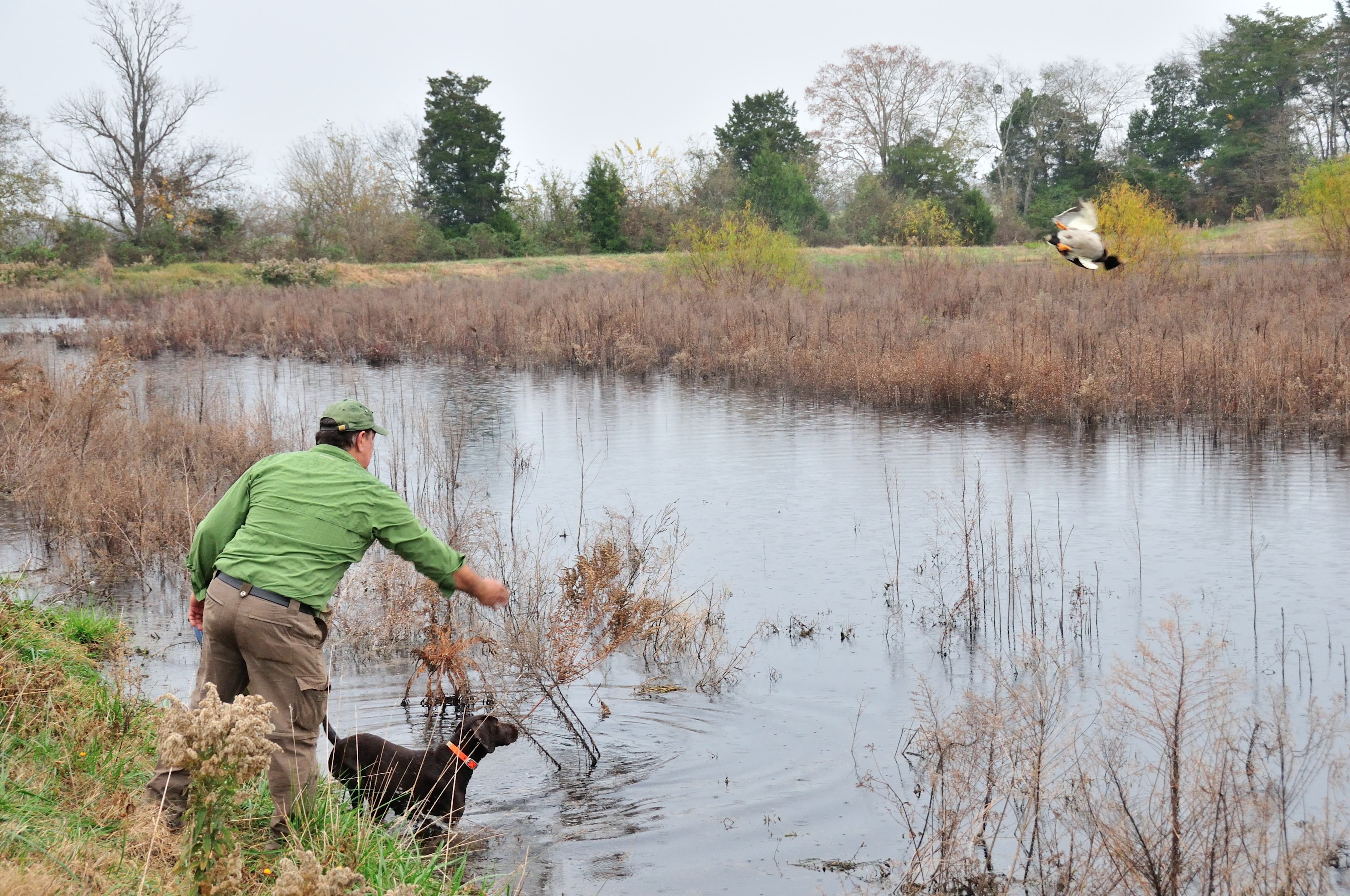
Tombigbee River, Demopolis
Topographic Map of Co Hwy 2, Gallion, AL, USA
Find elevation by address:

Places near Co Hwy 2, Gallion, AL, USA:
Gallion
1065 River Ranch Rd
E Jefferson St, Demopolis, AL, USA
Demopolis
Maria Ave, Demopolis, AL, USA
Power Plant Road
Birdeye Park Rd, Forkland, AL, USA
AL-69, Greensboro, AL, USA
56 Jackson Quarter, Forkland, AL, USA
Co Rd 12, Faunsdale, AL, USA
US-80, Demopolis, AL, USA
Forkland
Faunsdale
AL-25, Faunsdale, AL, USA
Co Rd 20, Forkland, AL, USA
105 Old Locke 3 Rd
AL-25, Greensboro, AL, USA
Co Rd 44, Dayton, AL, USA
Dayton
21 Co Rd 10, Newbern, AL, USA
Recent Searches:
- Elevation of N 82nd Pl, Mesa, AZ, USA
- Elevation of Snake Hill Rd, North Scituate, RI, USA
- Elevation of Lake Shore Dr, Warwick, RI, USA
- Elevation of E Brightview Ave, Pittsburgh, PA, USA
- Elevation of Cavendish Rd, Harringay Ladder, London N4 1RR, UK
- Elevation of 1 Zion Park Blvd, Springdale, UT, USA
- Elevation of Ganderbal
- Elevation map of Konkan Division, Maharashtra, India
- Elevation of Netaji Nagar, Hallow Pul, Kurla, Mumbai, Maharashtra, India
- Elevation of Uralsk, Kazakhstan