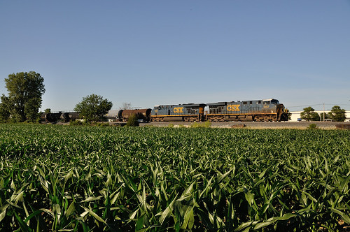
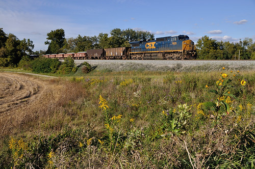
Elevation of Co Hwy 16, Anna, OH, USA
Location: United States > Ohio > Shelby County >
Longitude: -84.095233
Latitude: 40.4319378
Elevation: 318m / 1043feet
Barometric Pressure: 98KPa
Related Photos:
Topographic Map of Co Hwy 16, Anna, OH, USA
Find elevation by address:

Places near Co Hwy 16, Anna, OH, USA:
Jackson Center
Jackson Township
Botkins
Clay Township
15916 Sidney St
15852 Sidney St
114 Debra Dr
Saint Johns
Van Buren Township
Union Township
Kettlersville
OH-, Botkins, OH, USA
Wapakoneta
10 E Pearl St, Wapakoneta, OH, USA
E Ohio St, Waynesfield, OH, USA
Uniopolis
Duchouquet Township
11416 Knierim Rd
Wapakoneta Waterpark
Washington Township
Recent Searches:
- Elevation of Redondo Ave, Long Beach, CA, USA
- Elevation of Sadovaya Ulitsa, 20, Rezh, Sverdlovskaya oblast', Russia
- Elevation of Ulitsa Kalinina, 79, Rezh, Sverdlovskaya oblast', Russia
- Elevation of 72-31 Metropolitan Ave, Middle Village, NY, USA
- Elevation of 76 Metropolitan Ave, Brooklyn, NY, USA
- Elevation of Alisal Rd, Solvang, CA, USA
- Elevation of Vista Blvd, Sparks, NV, USA
- Elevation of 15th Ave SE, St. Petersburg, FL, USA
- Elevation of Beall Road, Beall Rd, Florida, USA
- Elevation of Leguwa, Nepal
