Elevation of CO-, Hesperus, CO, USA
Location: United States > Colorado > La Plata County > Hesperus >
Longitude: -108.17067
Latitude: 37.0944379
Elevation: 1996m / 6549feet
Barometric Pressure: 80KPa
Elevation Map:
Satellite Map:
Related Photos:
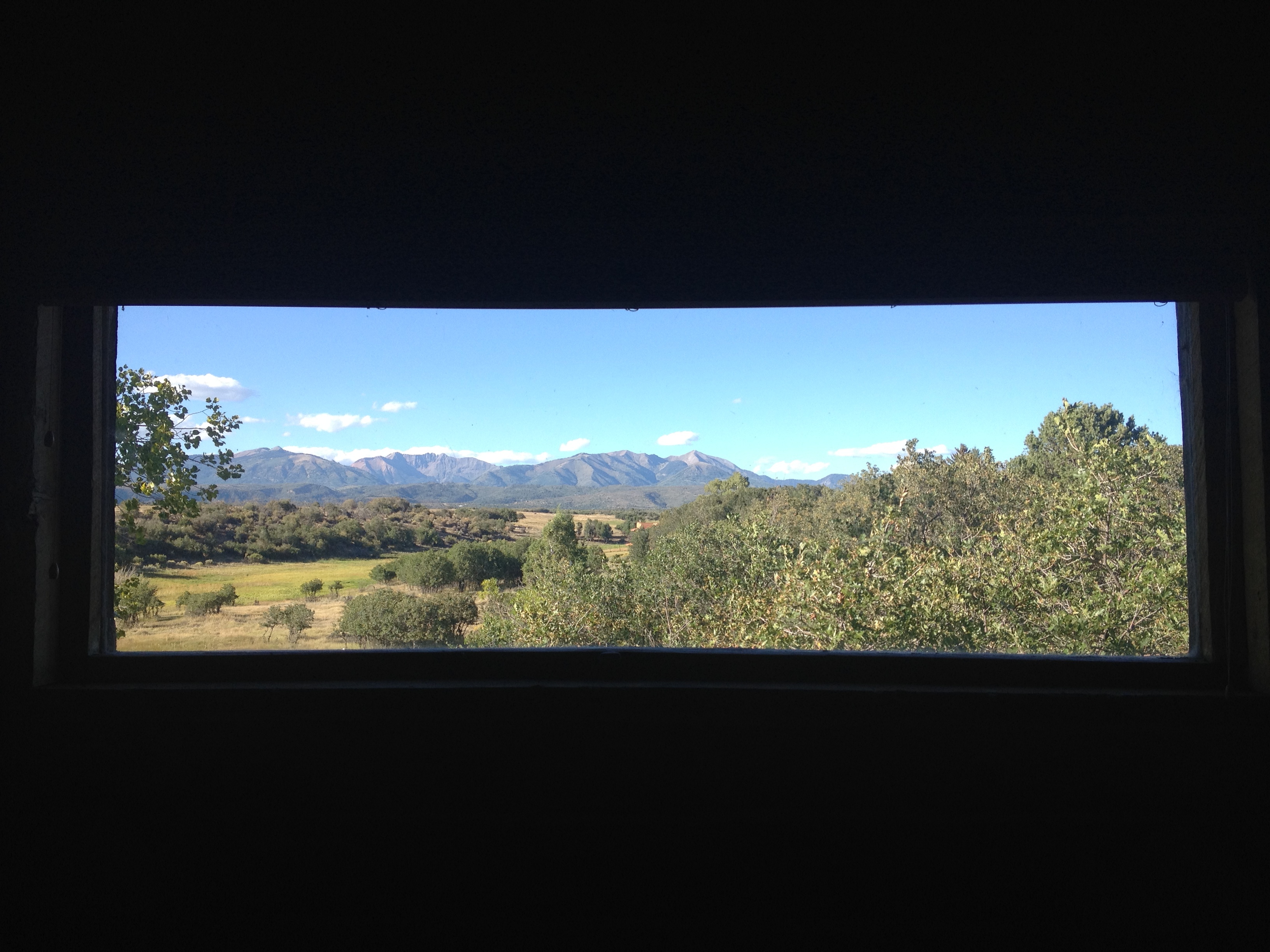
I didn't letter box this. This is an actual view out an actual window.
View of La Plata Peaks, from Blue Lake Ranch outside Durango CO
Flickr-1070863
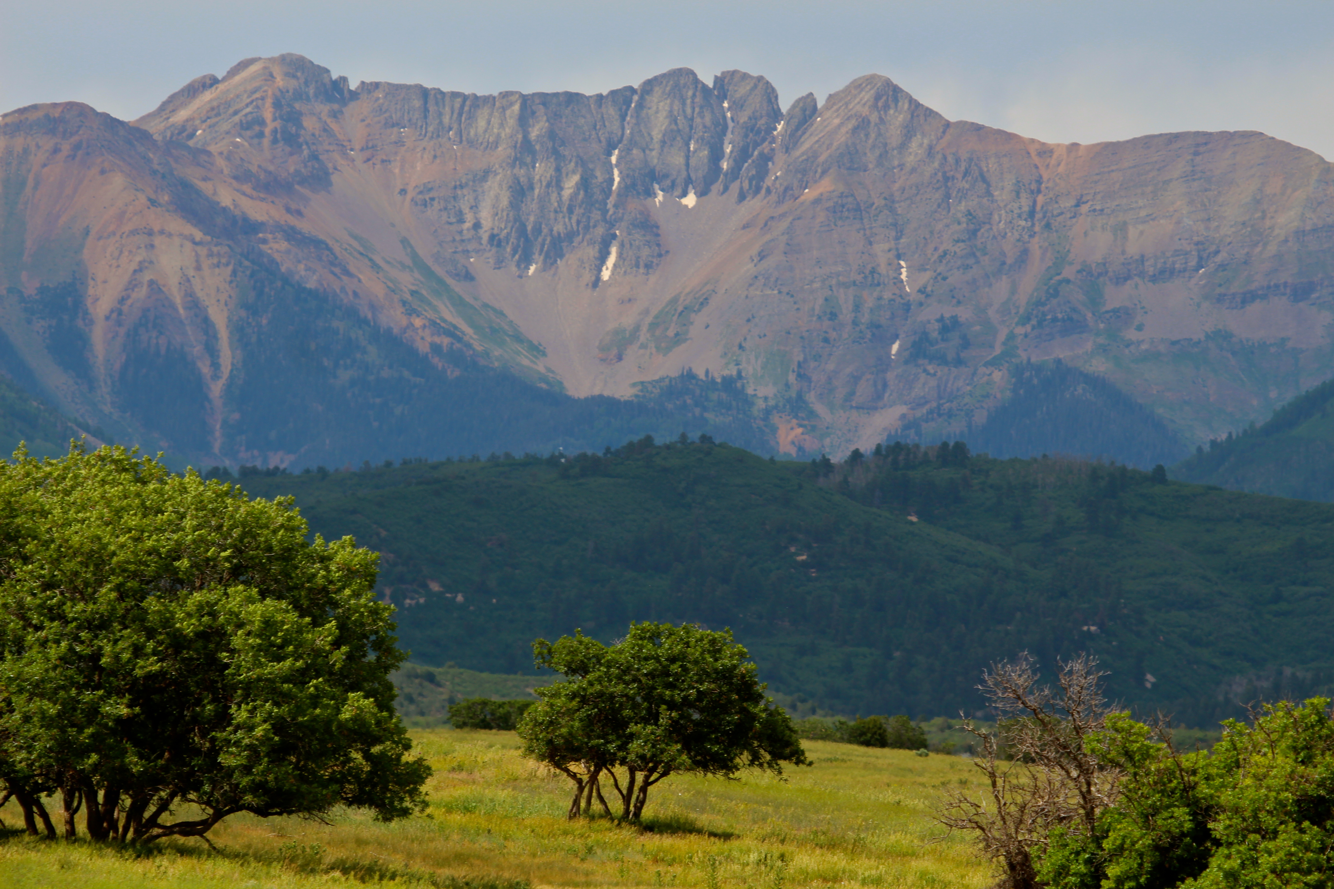
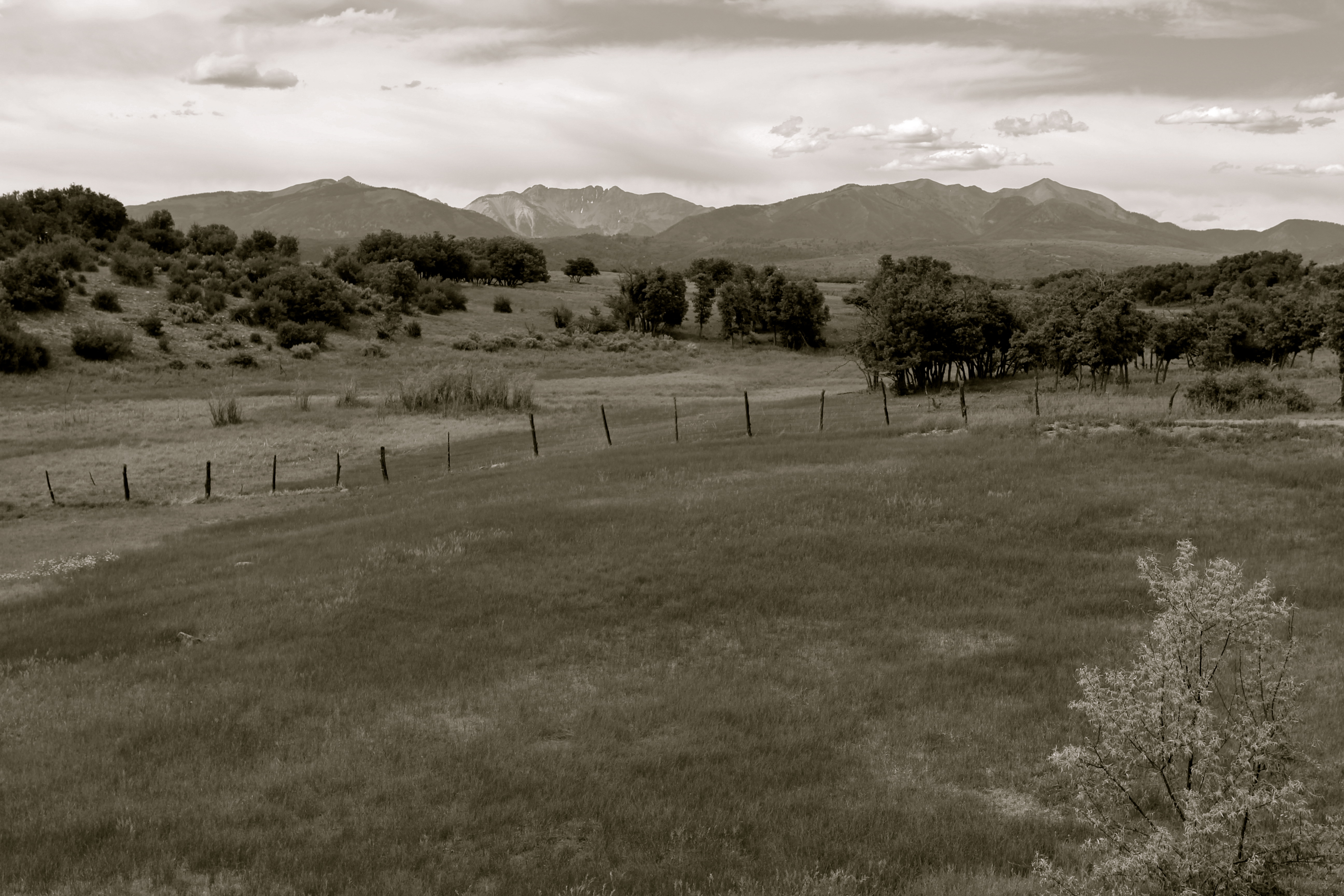
La Plata Peaks, San Juan Mountains CO
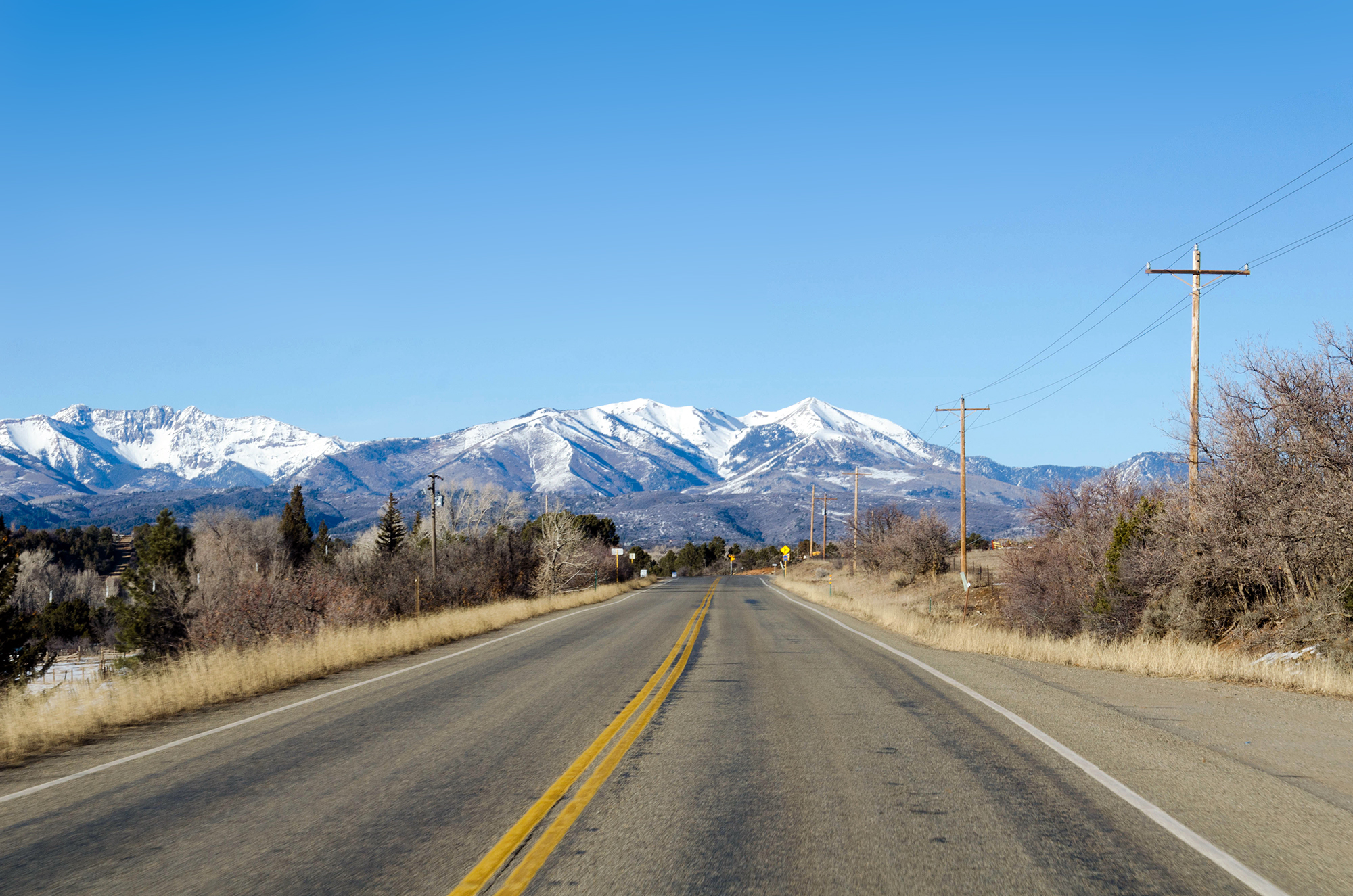
Drive-By Landscapes

Sunset over the La Plata Peaks, from Blue Lake Ranch

Sunset at Blue Lake Ranch, near Durango CO
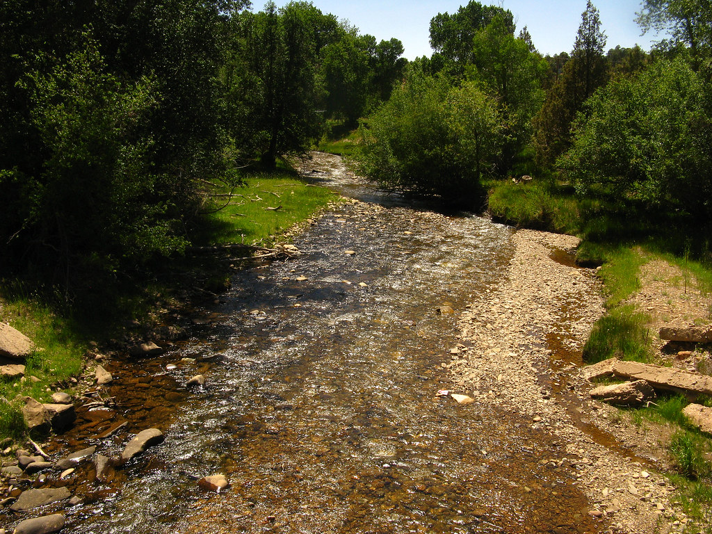
La Plata River: South of Redmesa, Colorado (CO)
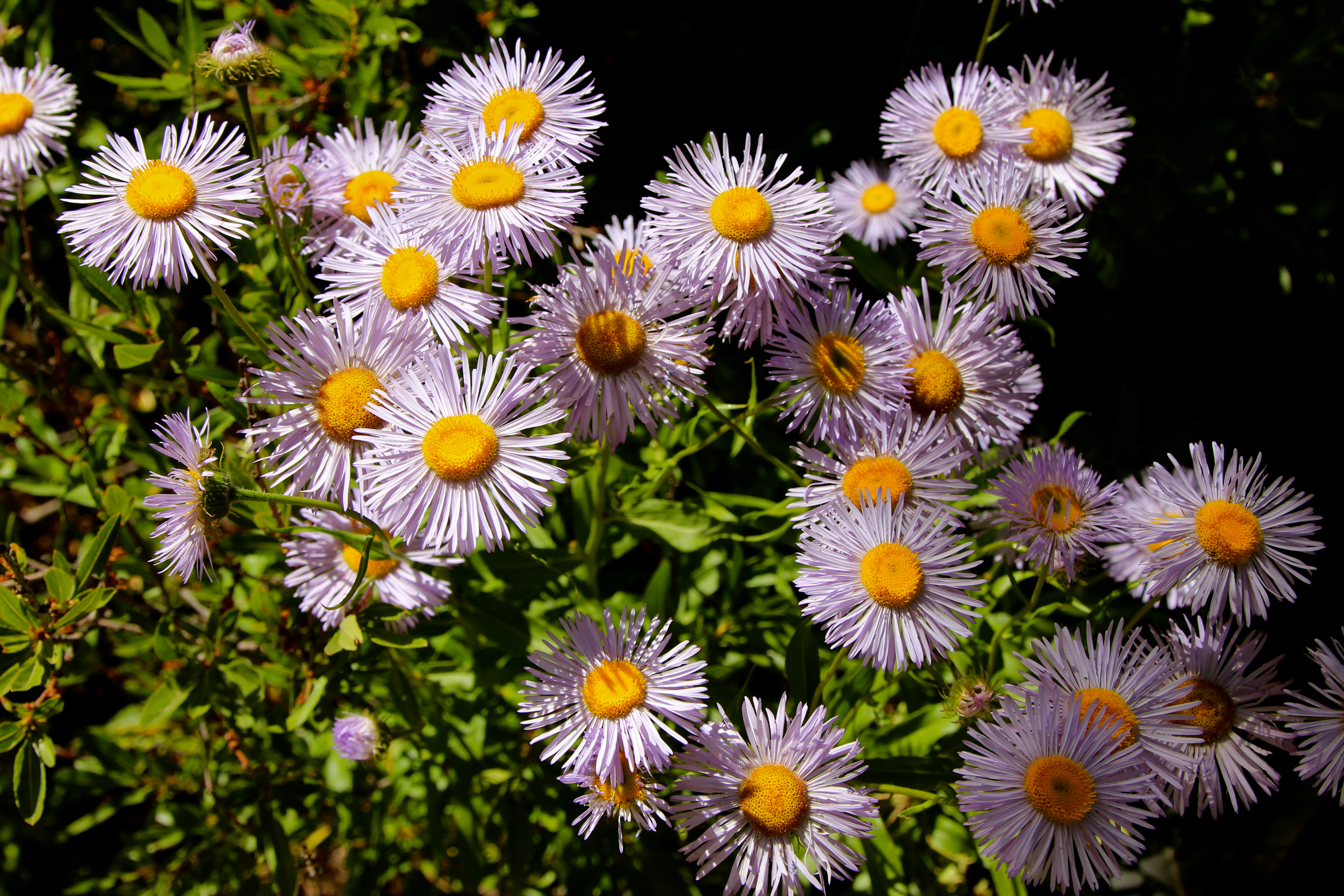
Daisies at Blue Lake Ranch, outside Durango CO
Topographic Map of CO-, Hesperus, CO, USA
Find elevation by address:

Places near CO-, Hesperus, CO, USA:
Marvel
4378 Co Rd 134
976 Trail Rd
CO-, Hesperus, CO, USA
2913 Co Rd 126
500 Sand Ridge Ct
Jtl Leather Works
651 Indian Bend Rd
1654 Co Rd 120
919 Huntington Rd
1463 Thunderbird Rd
1463 Thunderbird Rd
Zane Drive
101 Shenandoah Terrace
343 Shenandoah Dr
128 Colonial Dr
4285 Co Rd 141
93 Snow Cap Ln
325 Saw Mill Rd
521 Saw Mill Rd
Recent Searches:
- Elevation of 3 Nestling Wood Dr, Long Valley, NJ, USA
- Elevation of Ilungu, Tanzania
- Elevation of Yellow Springs Road, Yellow Springs Rd, Chester Springs, PA, USA
- Elevation of Rēzekne Municipality, Latvia
- Elevation of Plikpūrmaļi, Vērēmi Parish, Rēzekne Municipality, LV-, Latvia
- Elevation of 2 Henschke Ct, Caboolture QLD, Australia
- Elevation of Redondo Ave, Long Beach, CA, USA
- Elevation of Sadovaya Ulitsa, 20, Rezh, Sverdlovskaya oblast', Russia
- Elevation of Ulitsa Kalinina, 79, Rezh, Sverdlovskaya oblast', Russia
- Elevation of 72-31 Metropolitan Ave, Middle Village, NY, USA