Elevation of Cloud Ln, Saxon, WV, USA
Location: United States > West Virginia > Raleigh County > >
Longitude: -81.440434
Latitude: 37.7894379
Elevation: 576m / 1890feet
Barometric Pressure: 95KPa
Elevation Map:
Satellite Map:
Related Photos:
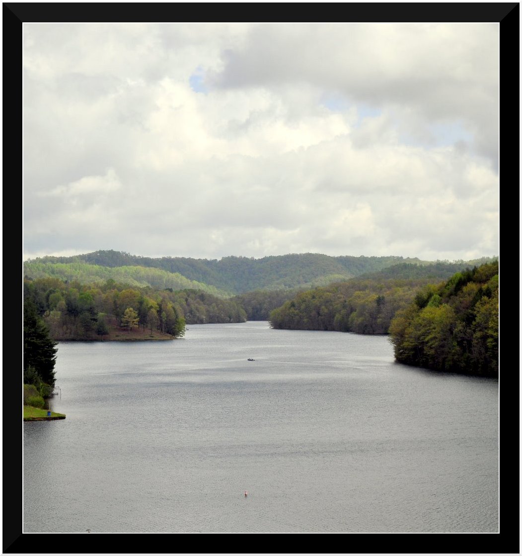
Lake Stephens
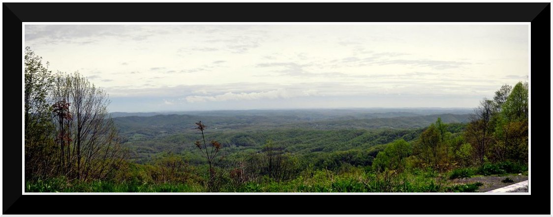
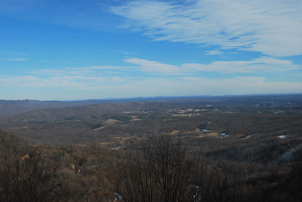
Bolt Mtn Overlook
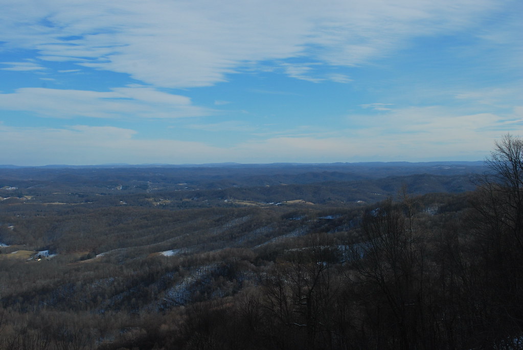
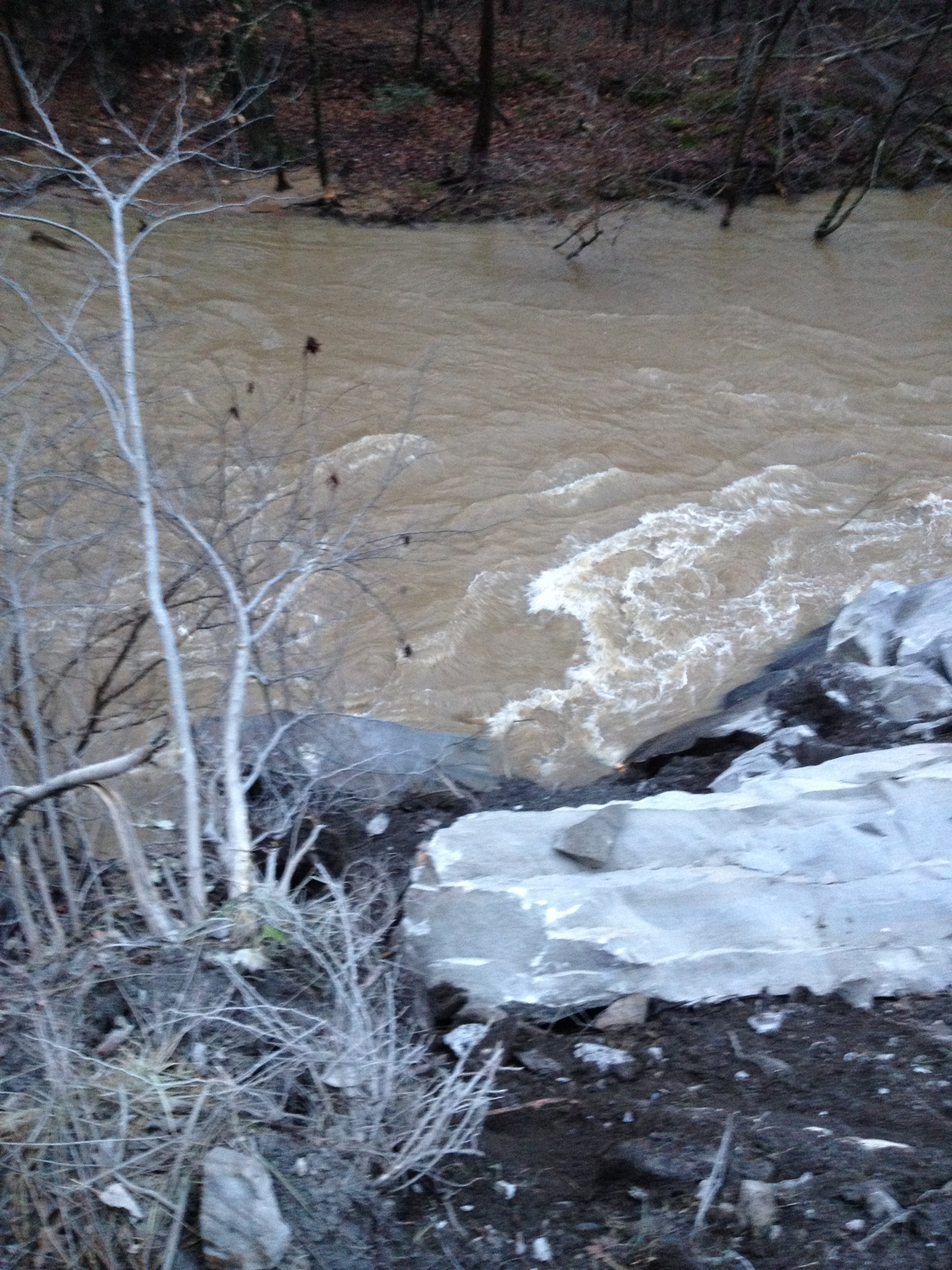
Marsh Fork Valley

Marsh Fork Valley
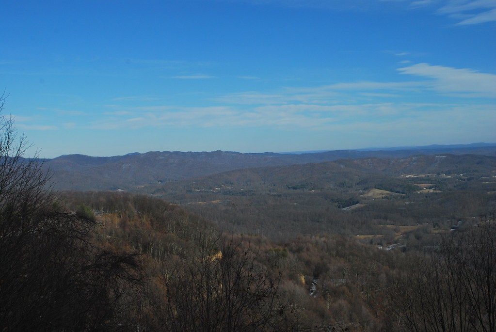
Marsh Fork Valley
Marsh Fork Valley

Marsh Fork Valley
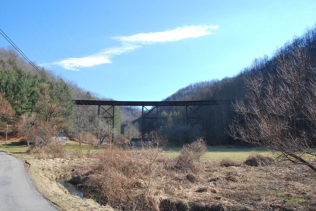
McGraws Trestle
WV 3 Rockslide
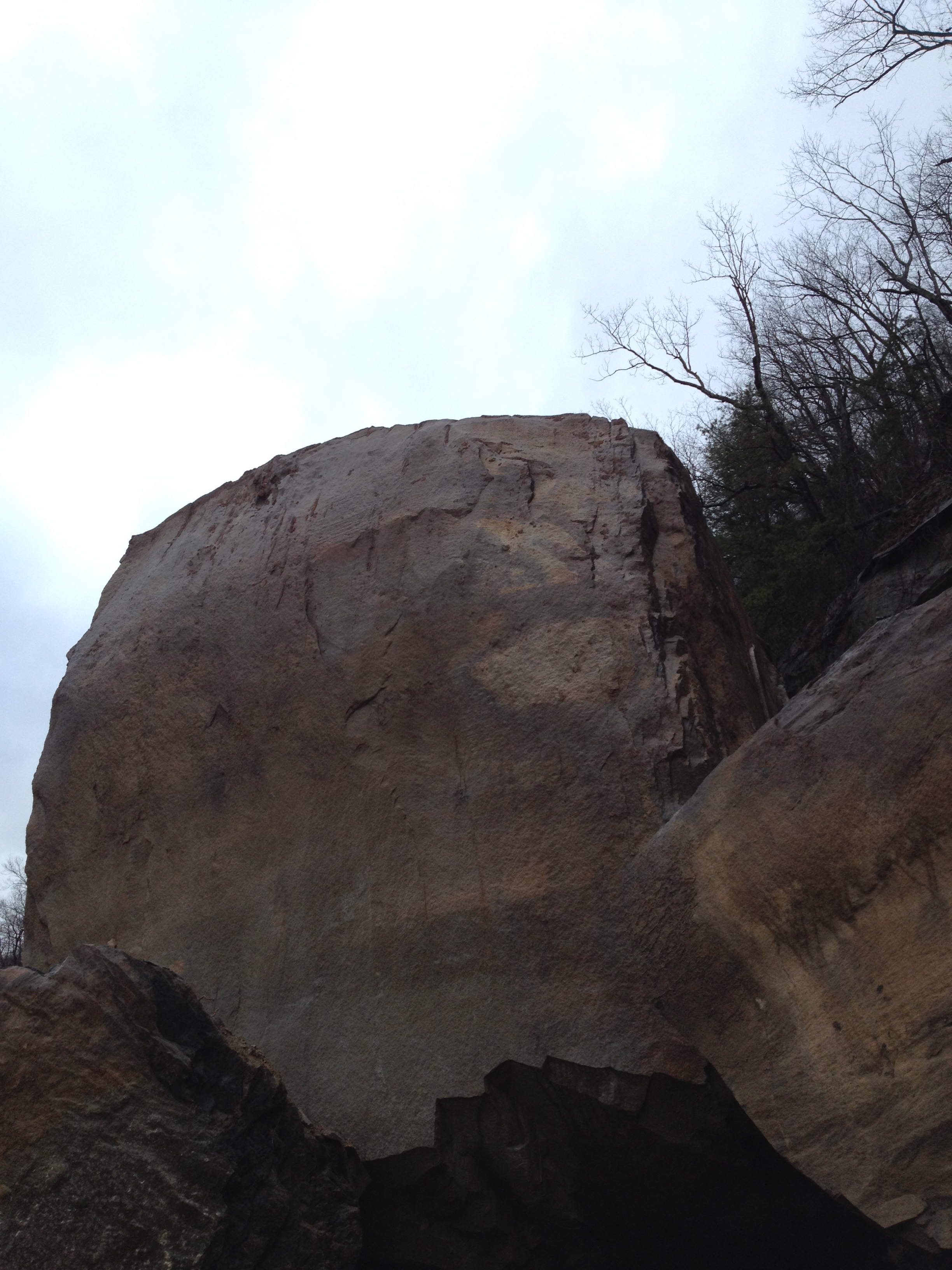
WV 3 Rockslide
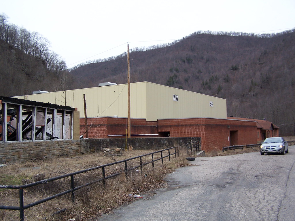
Marsh Fork High School Image 11 2-24-2007 Photo
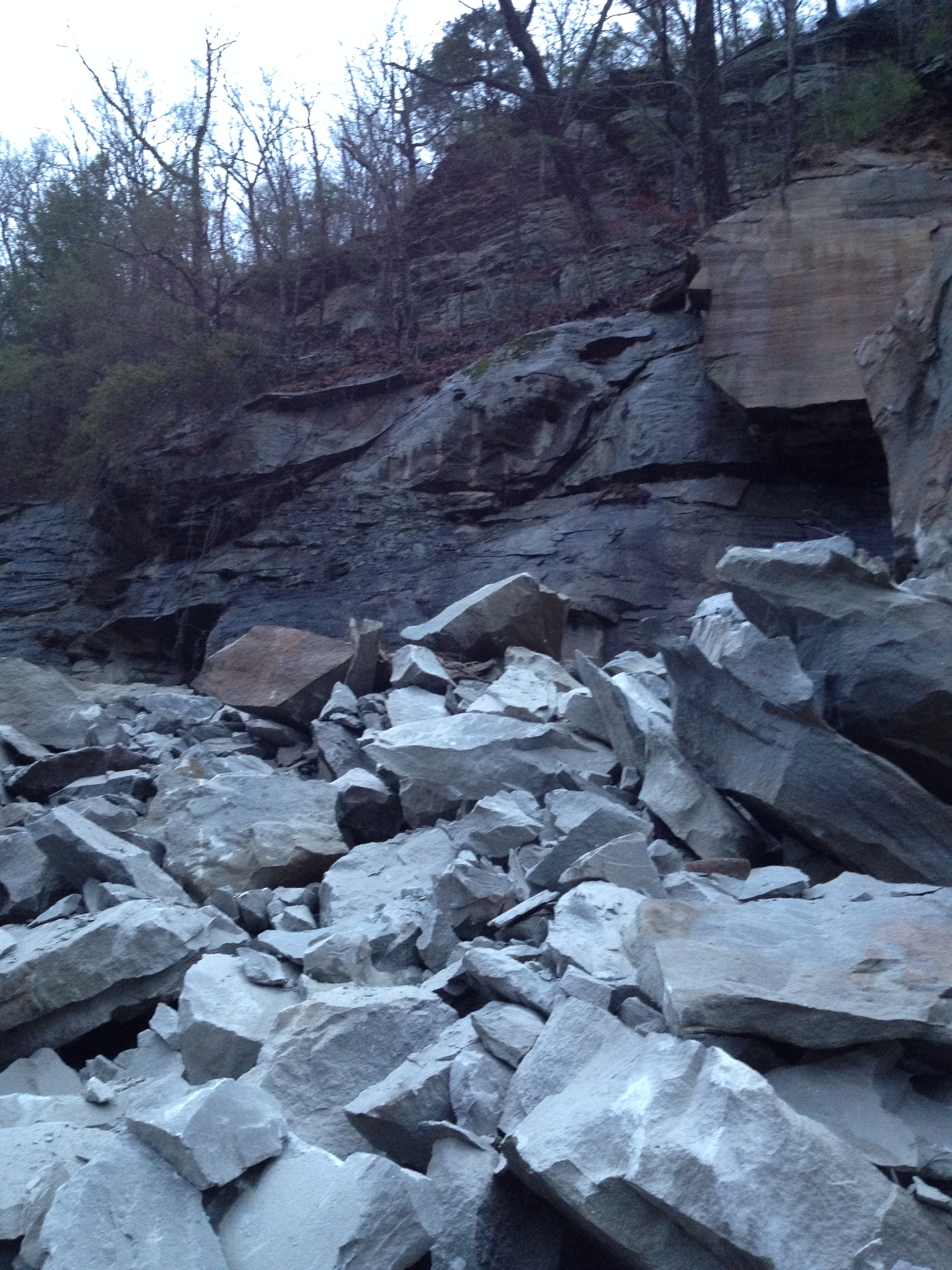
WV 3 Rockslide
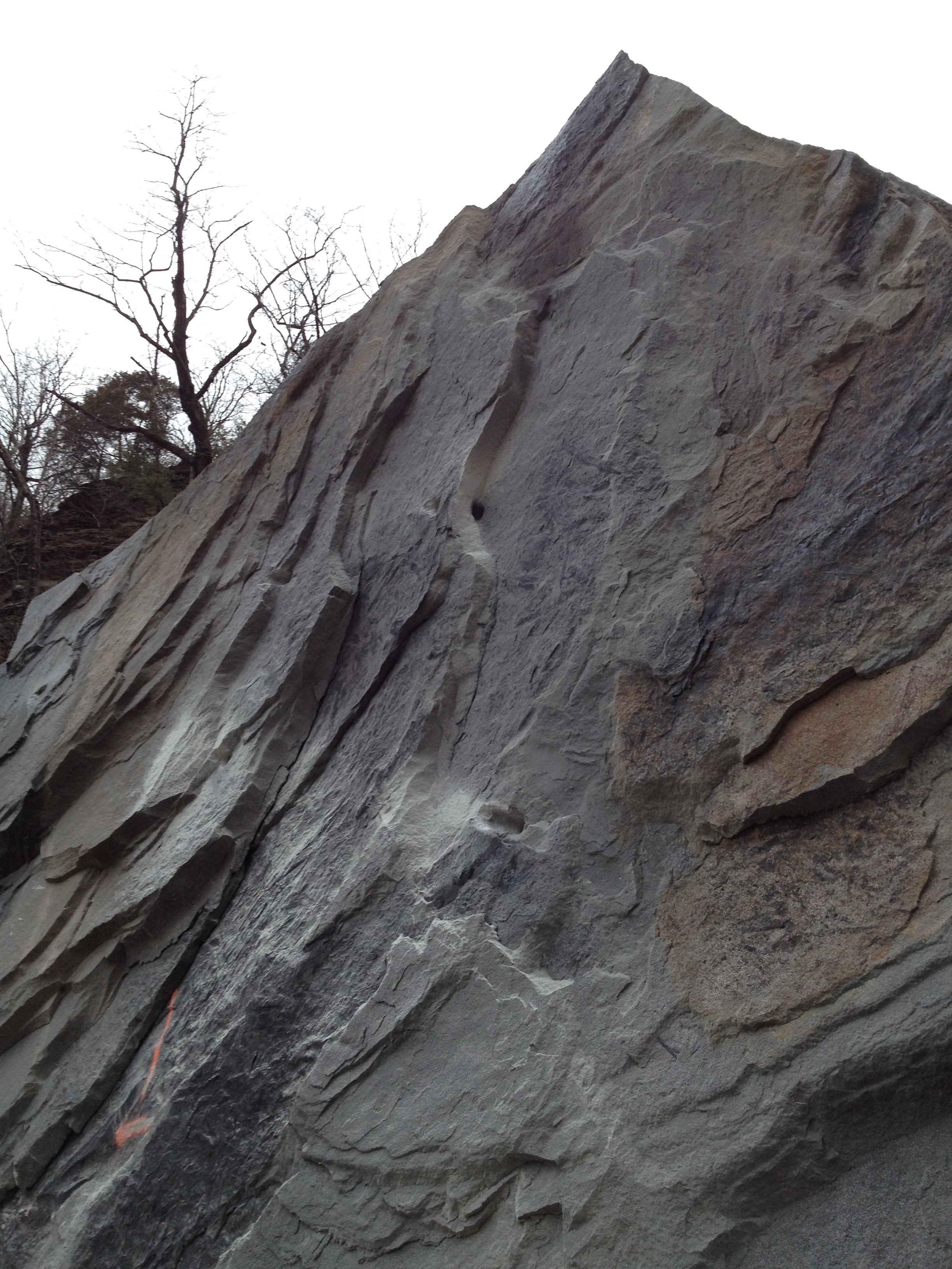
WV 3 Rockslide
Topographic Map of Cloud Ln, Saxon, WV, USA
Find elevation by address:

Places near Cloud Ln, Saxon, WV, USA:
406 Saxon Rd
Saulsville
Twin Falls Resort State Park
Vista Ln, Eccles, WV, USA
1, WV, USA
3rd St, Glen White, WV, USA
Glen White
Eccles
Ury Rd, Helen, WV, USA
McAlpin Road, Sophia, WV, USA
105 Squire Ln
Raleigh County
Wyoming County
Rock View, WV, USA
Rock View
Helen
Sophia
109 Meadow Ln
Riffes Branch, Rhodell, WV, USA
Crab Orchard
Recent Searches:
- Elevation of Corso Fratelli Cairoli, 35, Macerata MC, Italy
- Elevation of Tallevast Rd, Sarasota, FL, USA
- Elevation of 4th St E, Sonoma, CA, USA
- Elevation of Black Hollow Rd, Pennsdale, PA, USA
- Elevation of Oakland Ave, Williamsport, PA, USA
- Elevation of Pedrógão Grande, Portugal
- Elevation of Klee Dr, Martinsburg, WV, USA
- Elevation of Via Roma, Pieranica CR, Italy
- Elevation of Tavkvetili Mountain, Georgia
- Elevation of Hartfords Bluff Cir, Mt Pleasant, SC, USA