Elevation of Clinton Rd, Jackson, CA, USA
Location: United States > California > Amador County > Jackson >
Longitude: -120.76494
Latitude: 38.3417639
Elevation: 382m / 1253feet
Barometric Pressure: 97KPa
Elevation Map:
Satellite Map:
Related Photos:

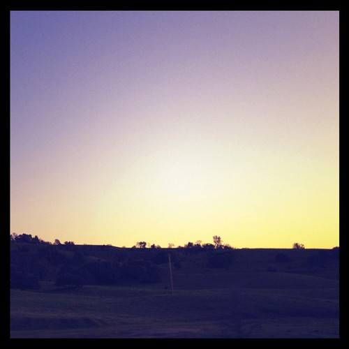
Sierra Nevada Foothills HDR
Old Kennedy Gold Mine Equipment HDR - Happy Sliders Sunday

Looking east towards the mountains
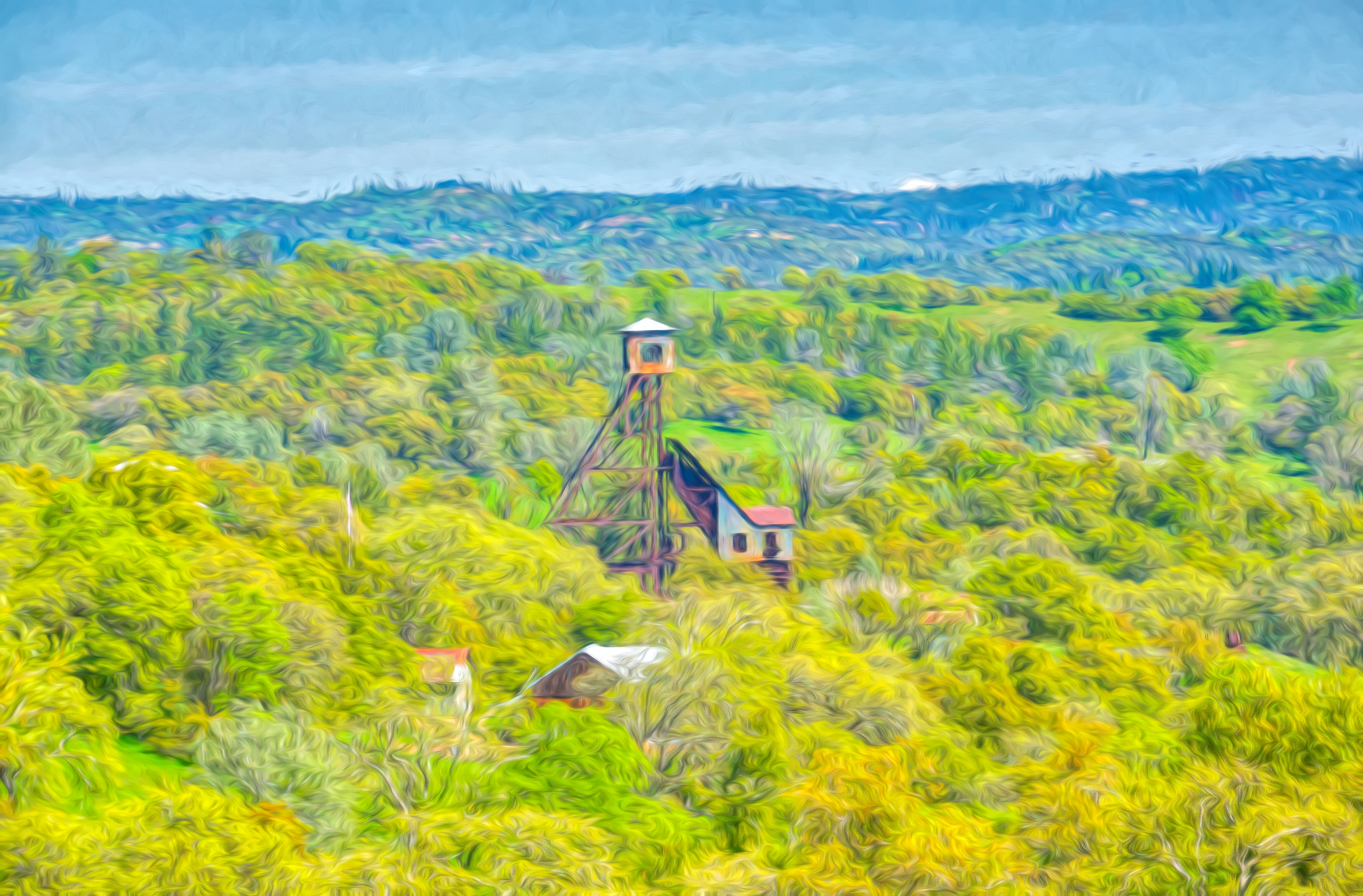
Digital watercolor Old Kennedy Gold Mine Equipment
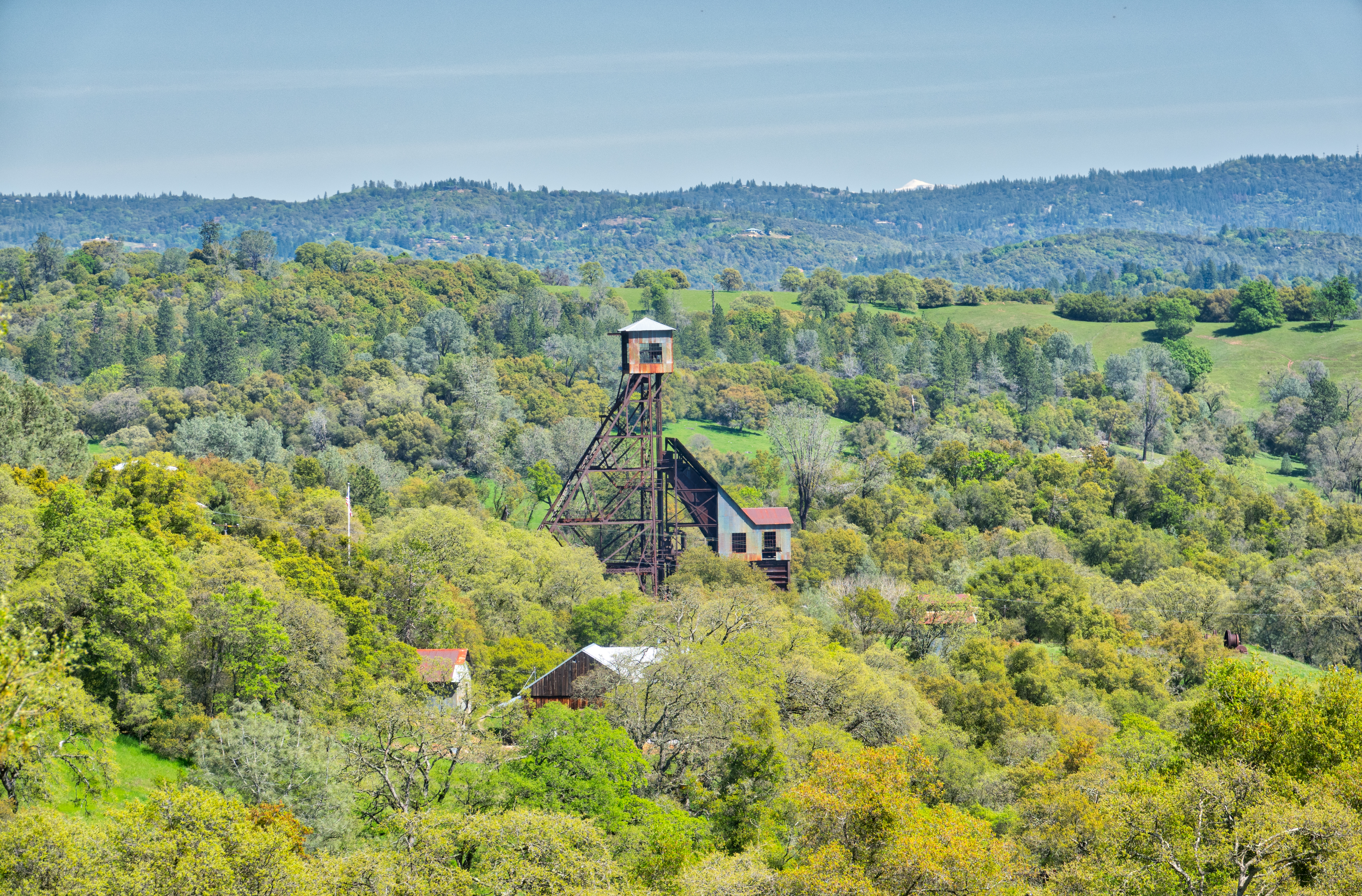
Old Kennedy Gold Mine Equipment HDR
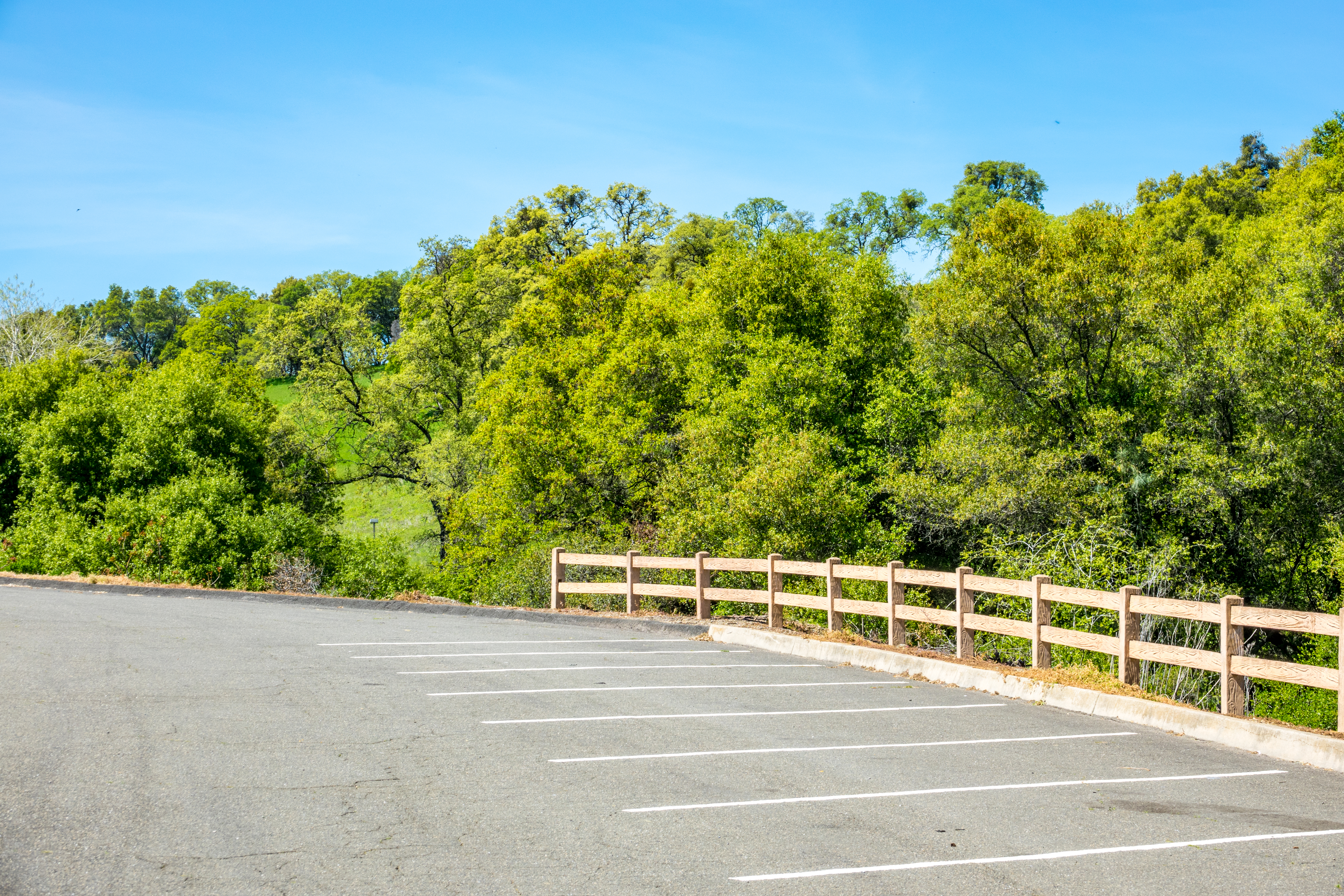
Happy Fence Friday
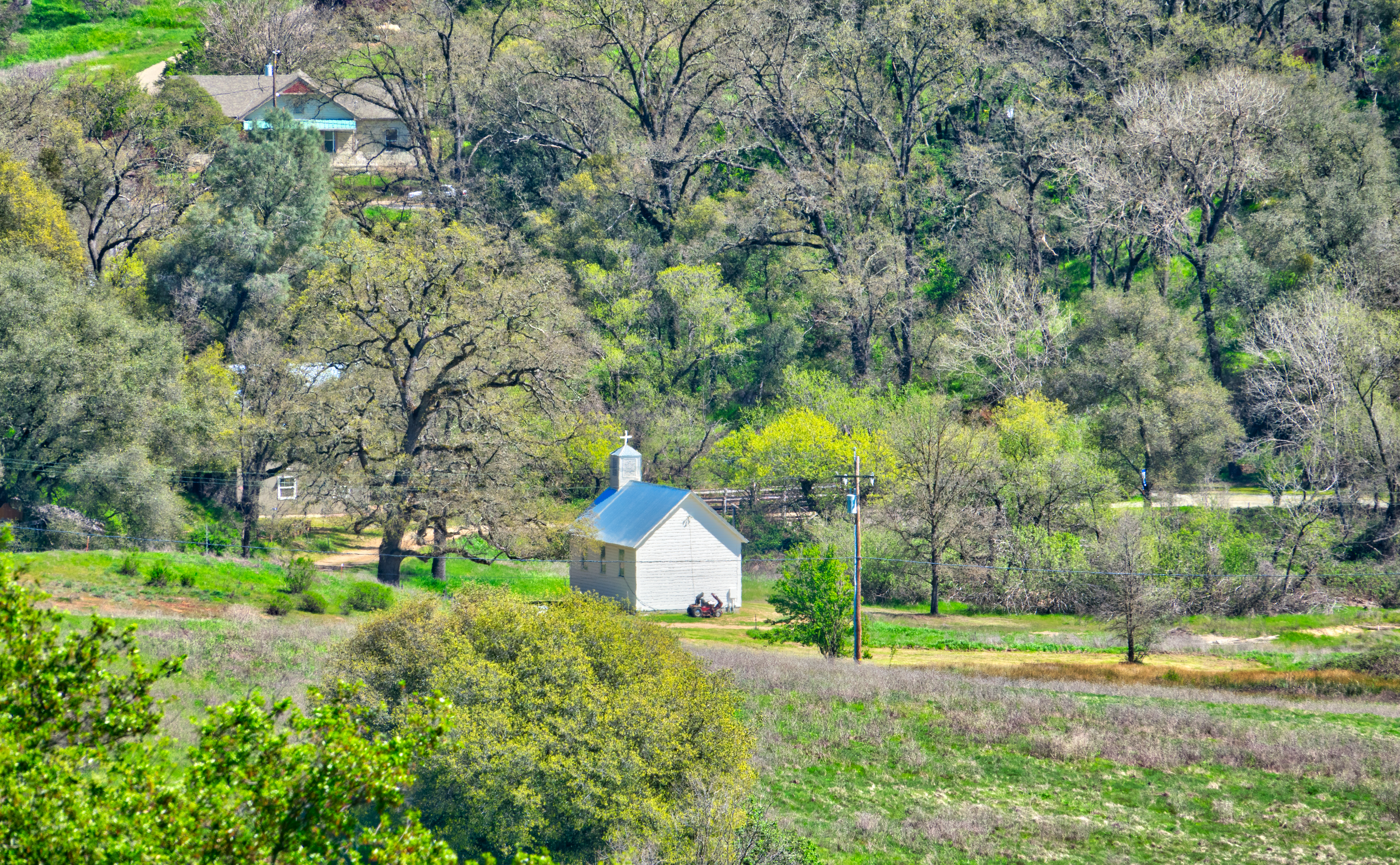
Little Church in the Sierra Nevada Foothills HDR
Looking east towards the mountains
This is the view from my grandpa's front porch. I wouldn't mind waking up to this every morning. #photooftheday
Looking east towards the mountains
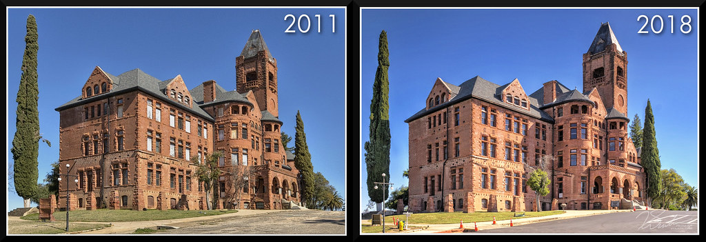
PrestonCastle-2011vs2018
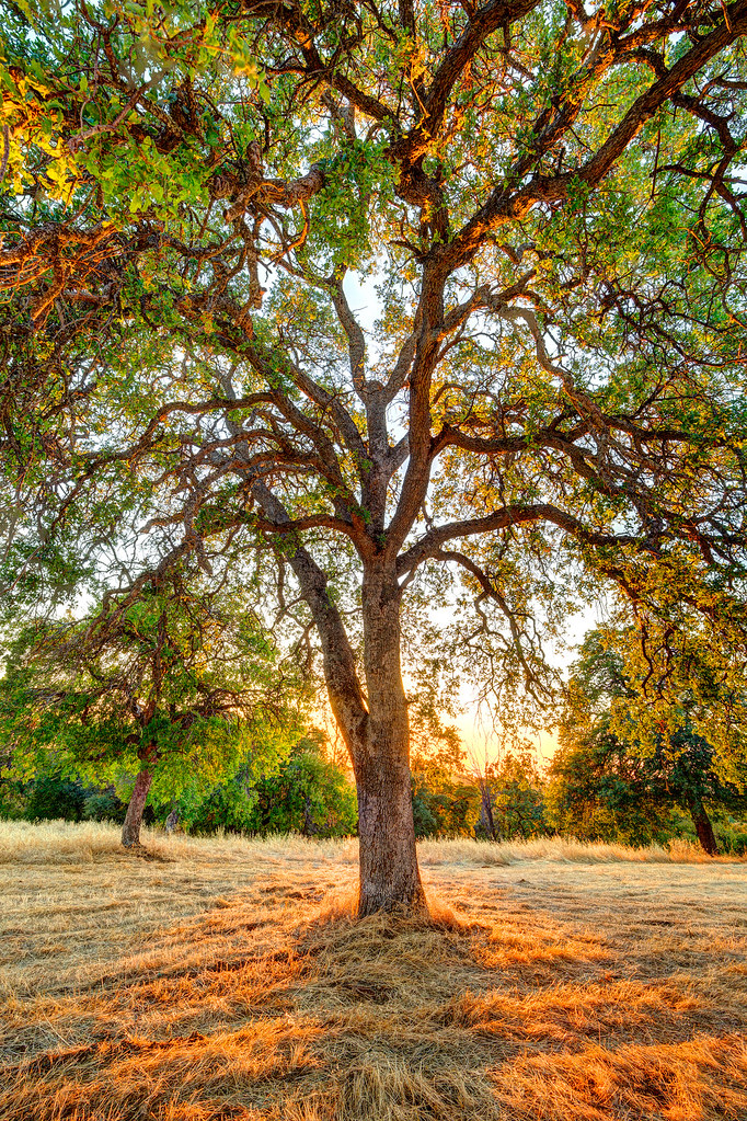
The Veins of an Oak at Sunset - Sutter Creek, CA
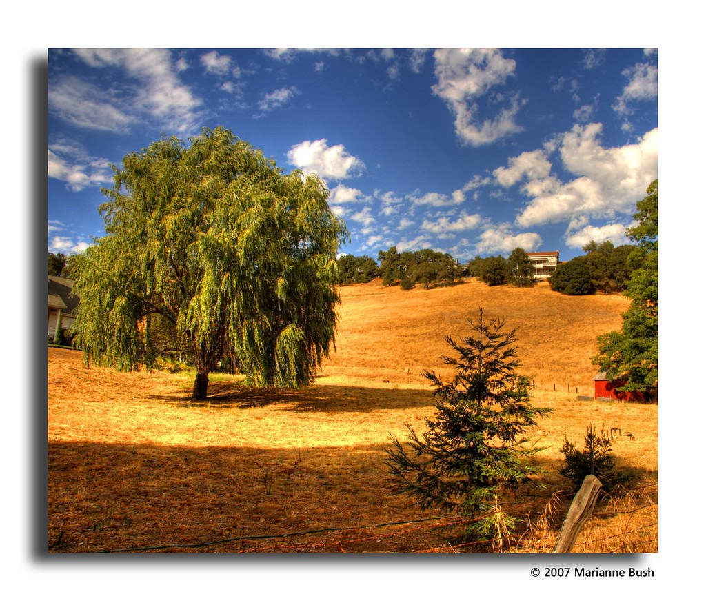
From Sutter Creek***
2009 Cali Road Trip - 172
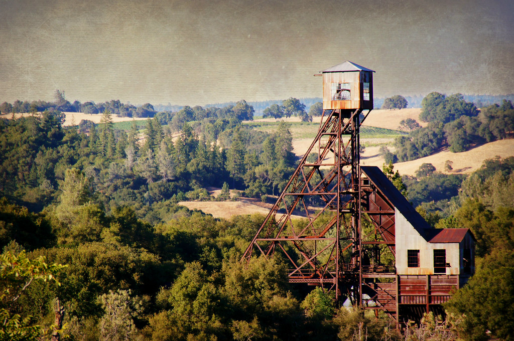
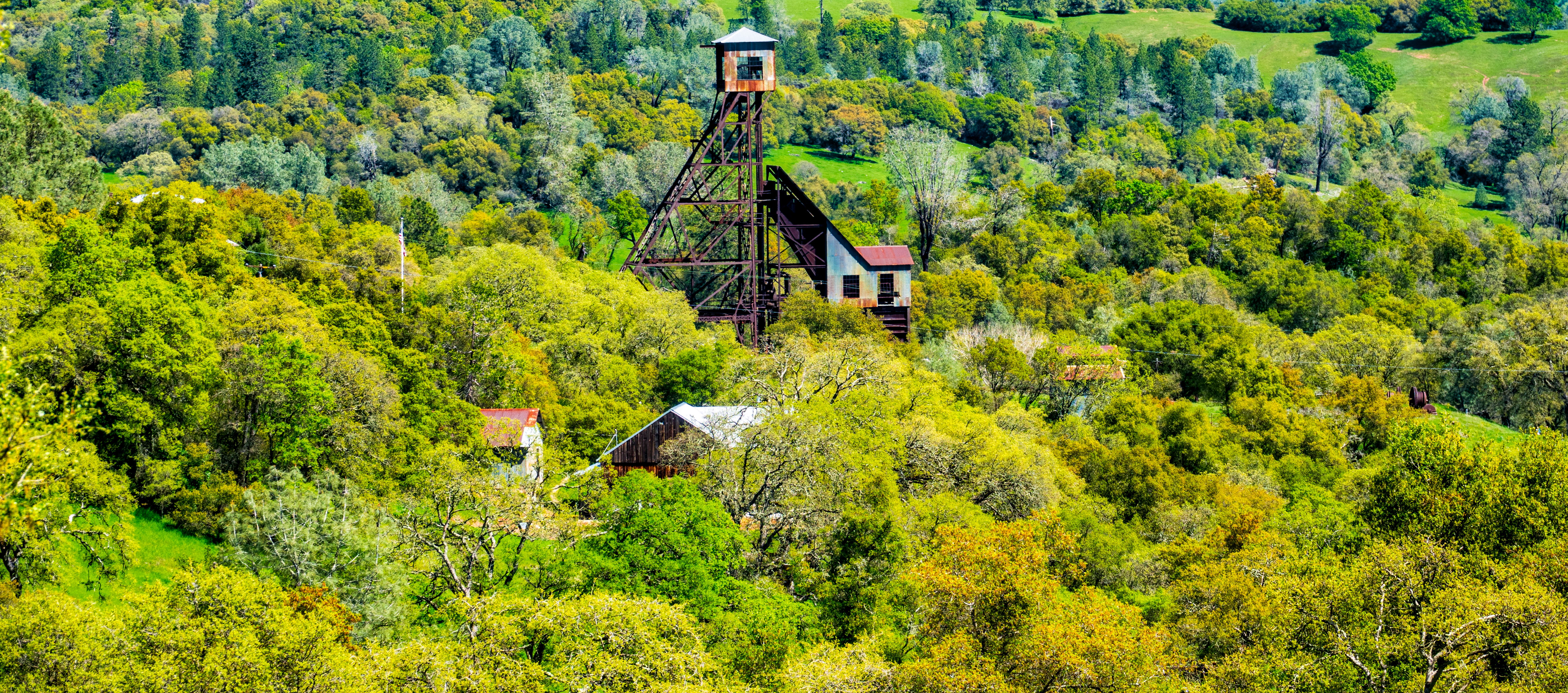
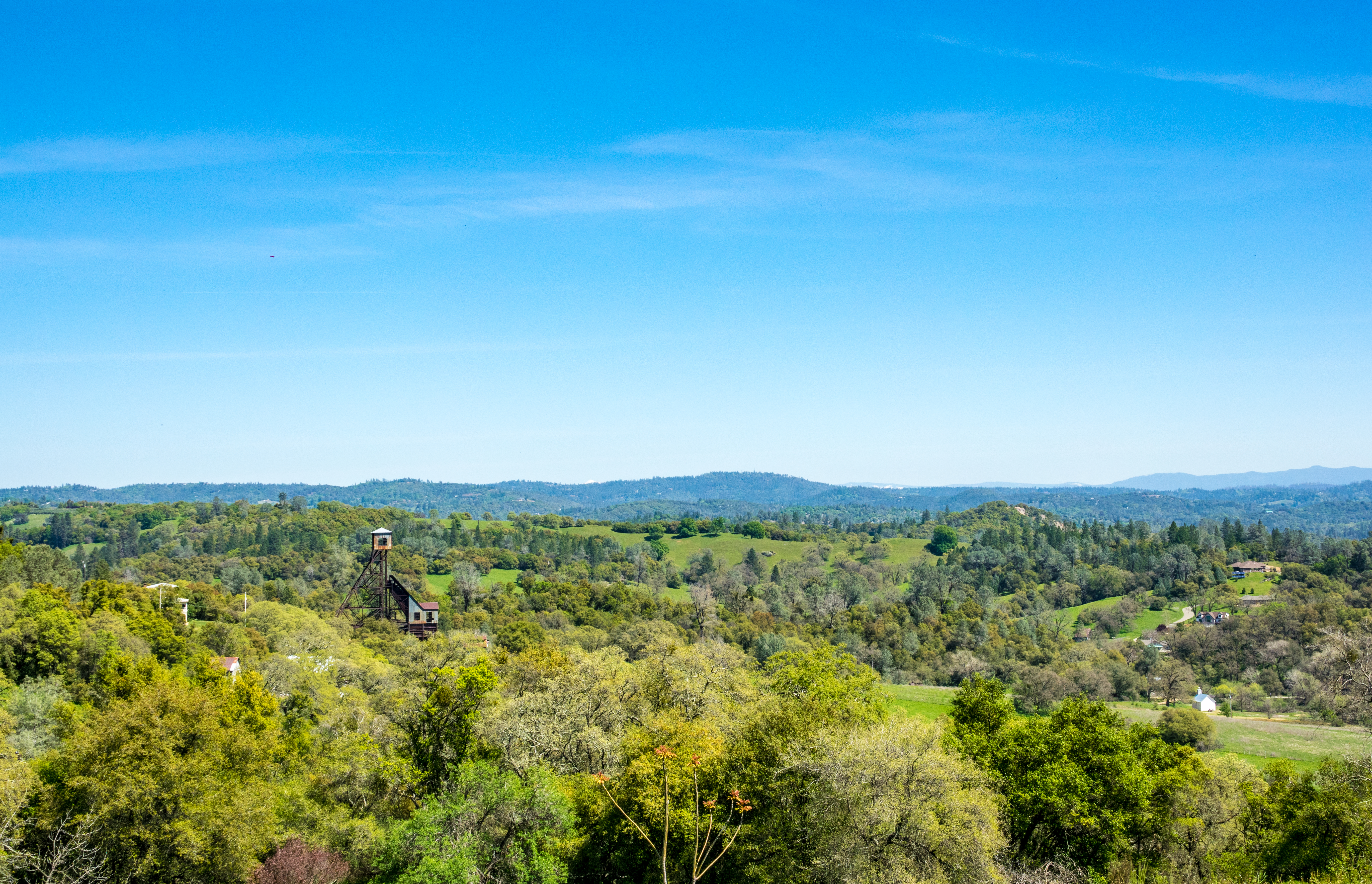
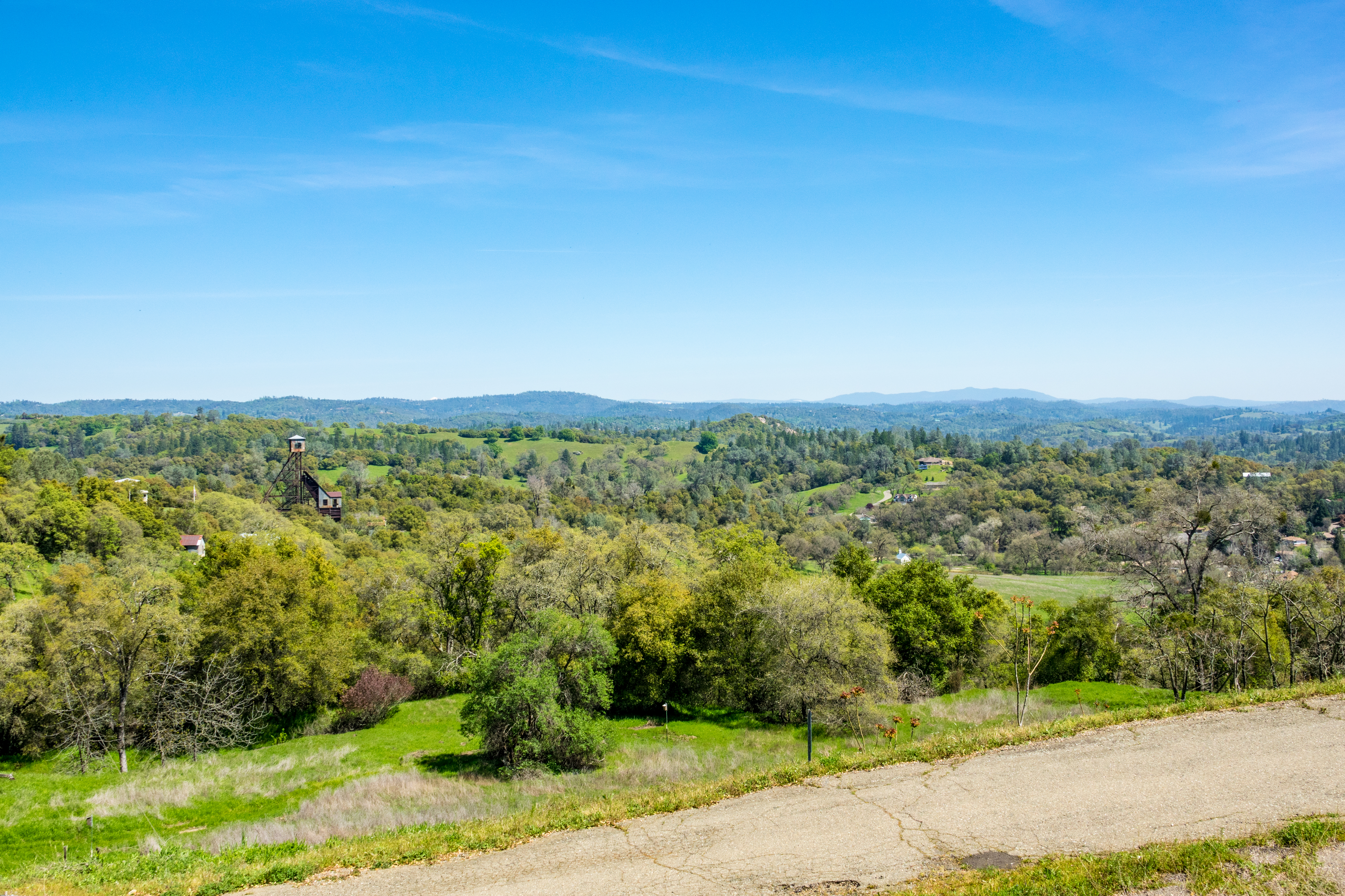
Kennedy Goldmine Headframe
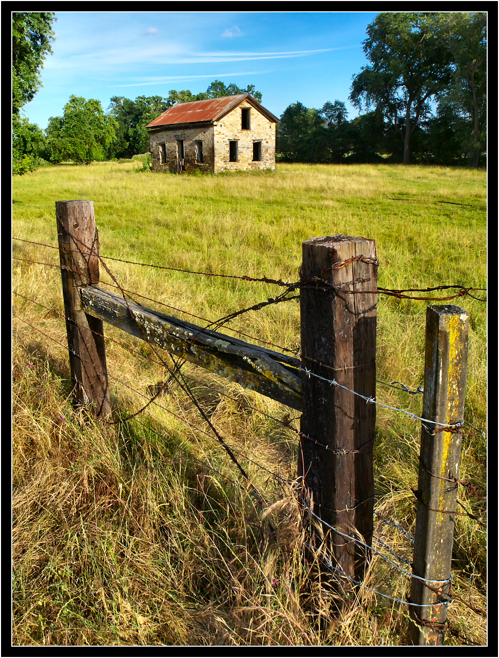
Abandoned Stone House

First Sunset
CRW_7927-17
CRW_7990-54

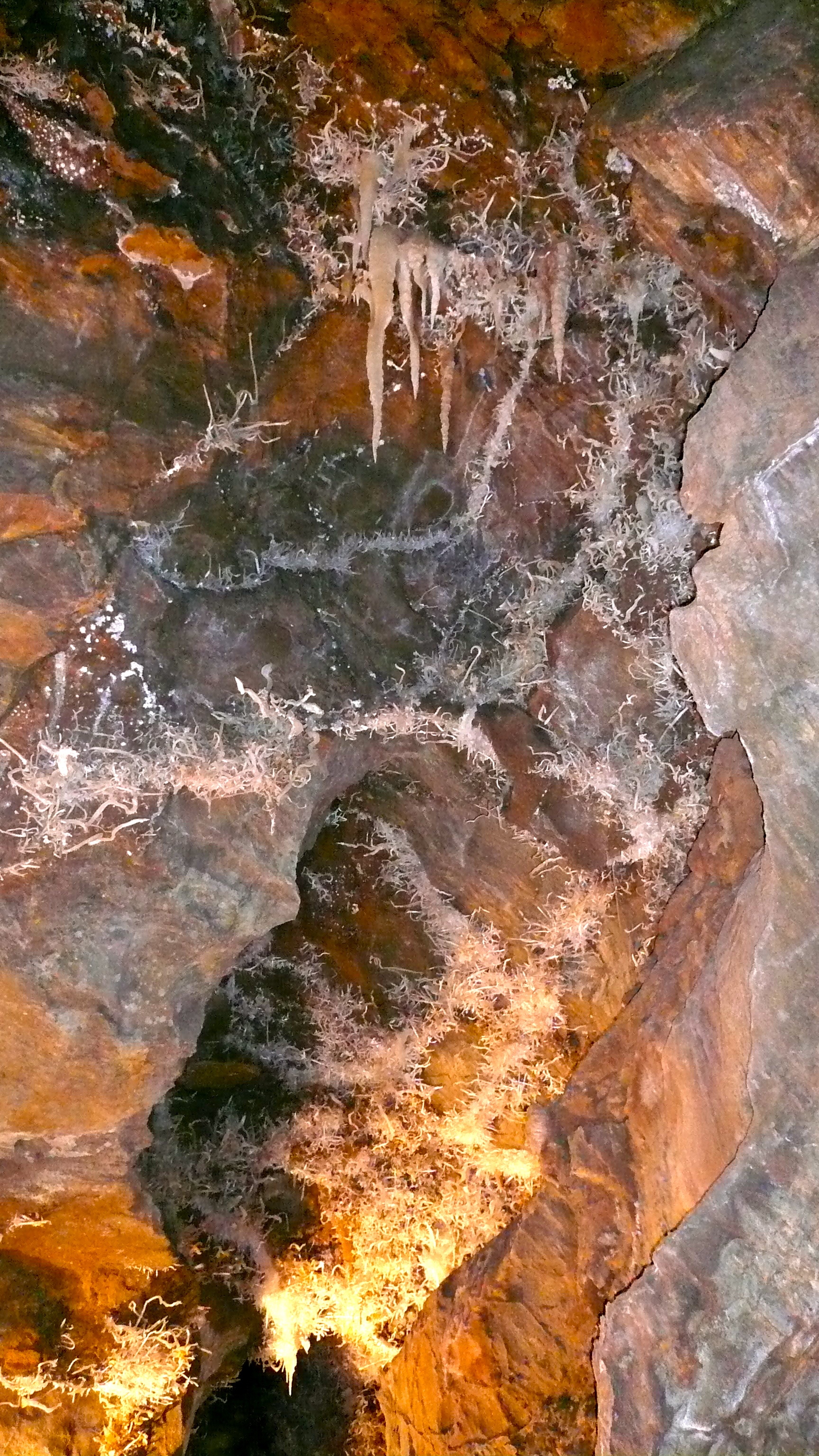
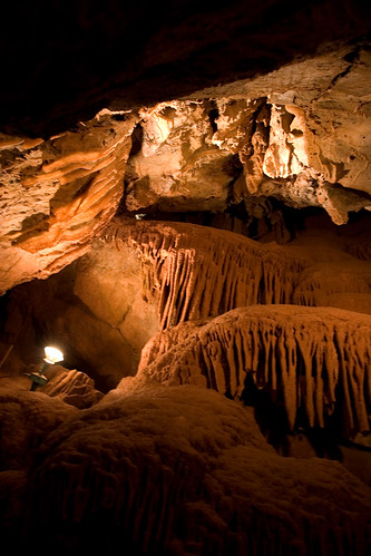
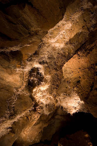
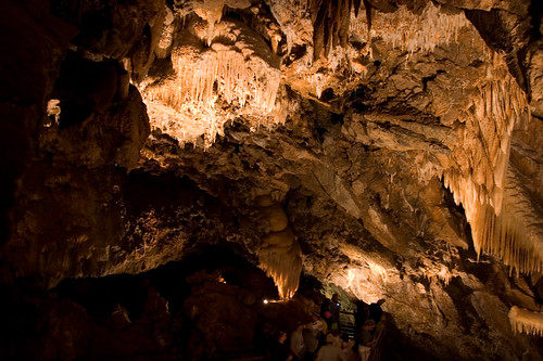
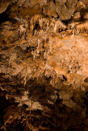
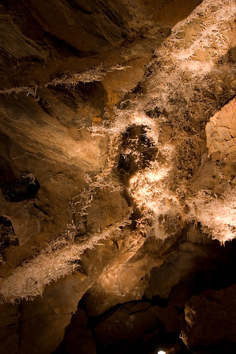
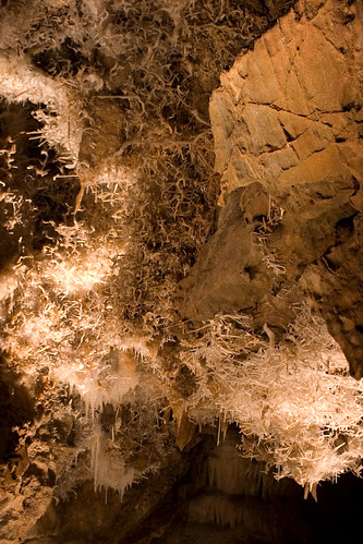
Black Chasm
#california #sunset
CRW_7961-38
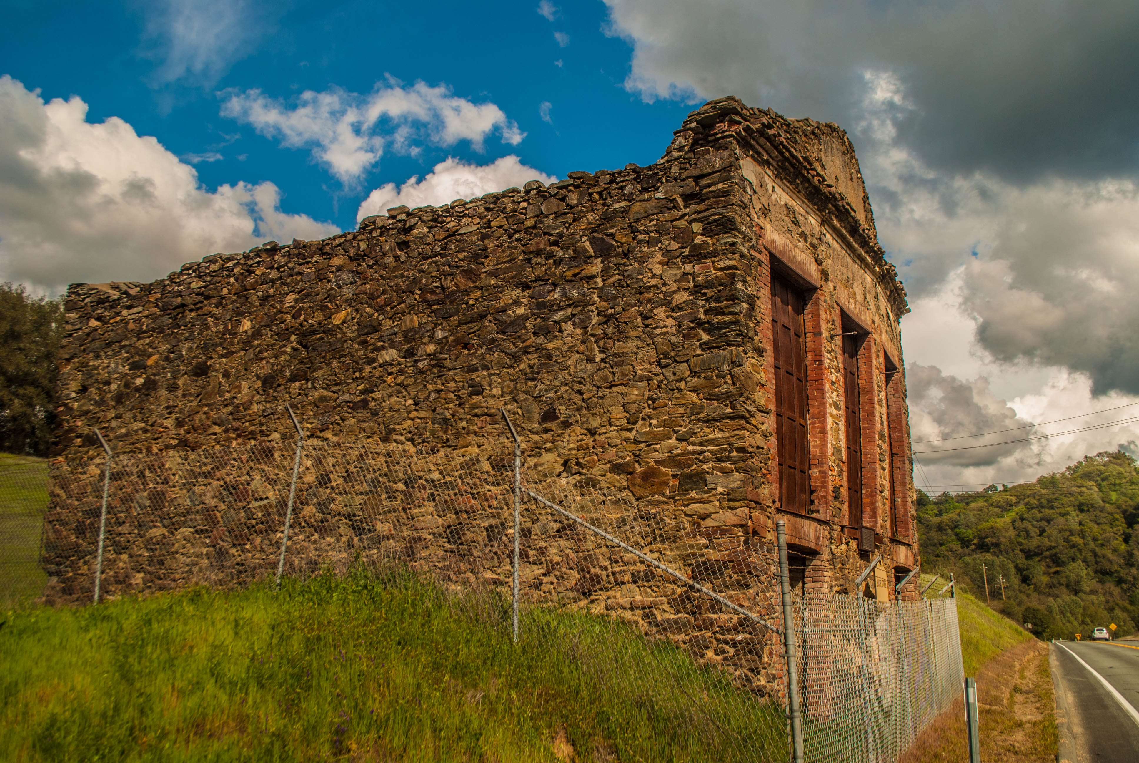
Butte Store Ruins
CRW_7973-44
CRW_7988-53
CRW_7967-42
Black Chasm
Kennedy Mine Tailing Wheel Park
CRW_7991-55
CRW_8001-60
Topographic Map of Clinton Rd, Jackson, CA, USA
Find elevation by address:

Places near Clinton Rd, Jackson, CA, USA:
929 Ca-49
Sutter/amador Hospital
Sutter Amador Hospital
California 88 & California 49
California 88 & Mission Boulevard
California 88 & Court Street
Jackson
Amador County
Mel & Fayes Diner
California 88
Detert Park
The Jackson Lodge
908 N Main St
917 N Main St
880 Argonaut Dr
135 Detert Ln
Argonaut Automotive Services
11960 Ca-88
Burger King
10355 Wicklow Way
Recent Searches:
- Elevation of 12 Hutchinson Woods Dr, Fletcher, NC, USA
- Elevation of Holloway Ave, San Francisco, CA, USA
- Elevation of Norfolk, NY, USA
- Elevation of - San Marcos Pass Rd, Santa Barbara, CA, USA
- Elevation of th Pl SE, Issaquah, WA, USA
- Elevation of 82- D Rd, Captain Cook, HI, USA
- Elevation of Harlow CM20 2PR, UK
- Elevation of Shenyang Agricultural University, Dong Ling Lu, Shen He Qu, Shen Yang Shi, Liao Ning Sheng, China
- Elevation of Alpha Dr, Melbourne, FL, USA
- Elevation of Hiroshima University, 1-chōme-3-2 Kagamiyama, Higashihiroshima, Hiroshima -, Japan