Elevation of Clinton, ME, USA
Location: United States > Maine > Kennebec County >
Longitude: -69.503126
Latitude: 44.637828
Elevation: 41m / 135feet
Barometric Pressure: 101KPa
Elevation Map:
Satellite Map:
Related Photos:
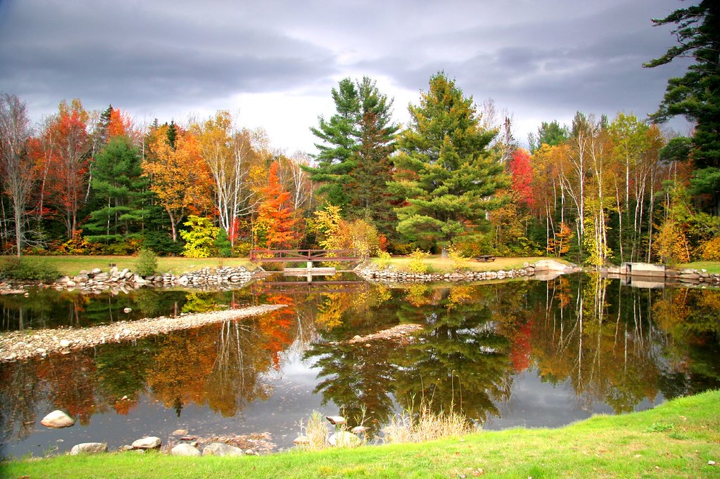
Fall colors surronding Pond 2
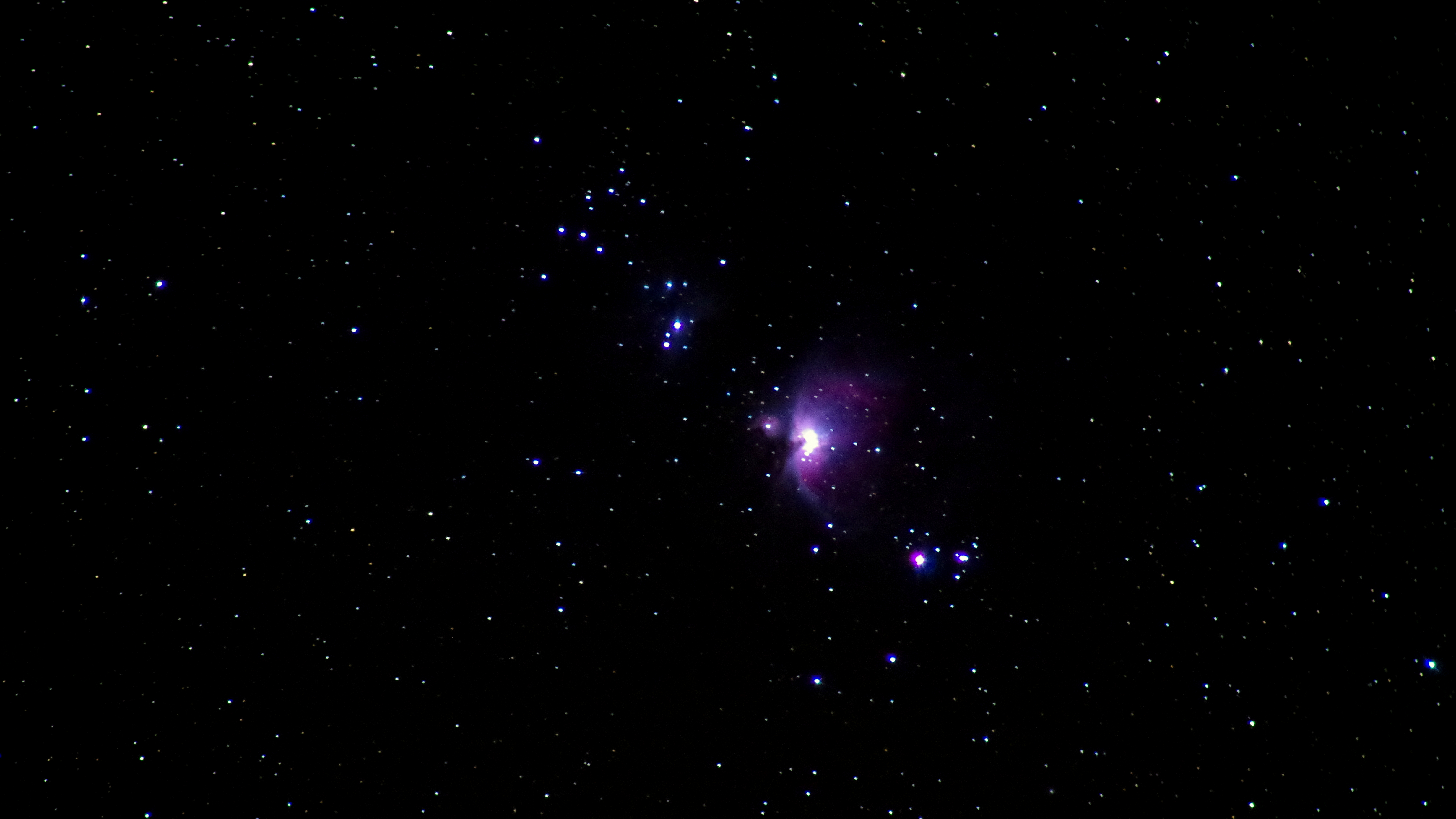
October 3, 2014 - Orion Nebula
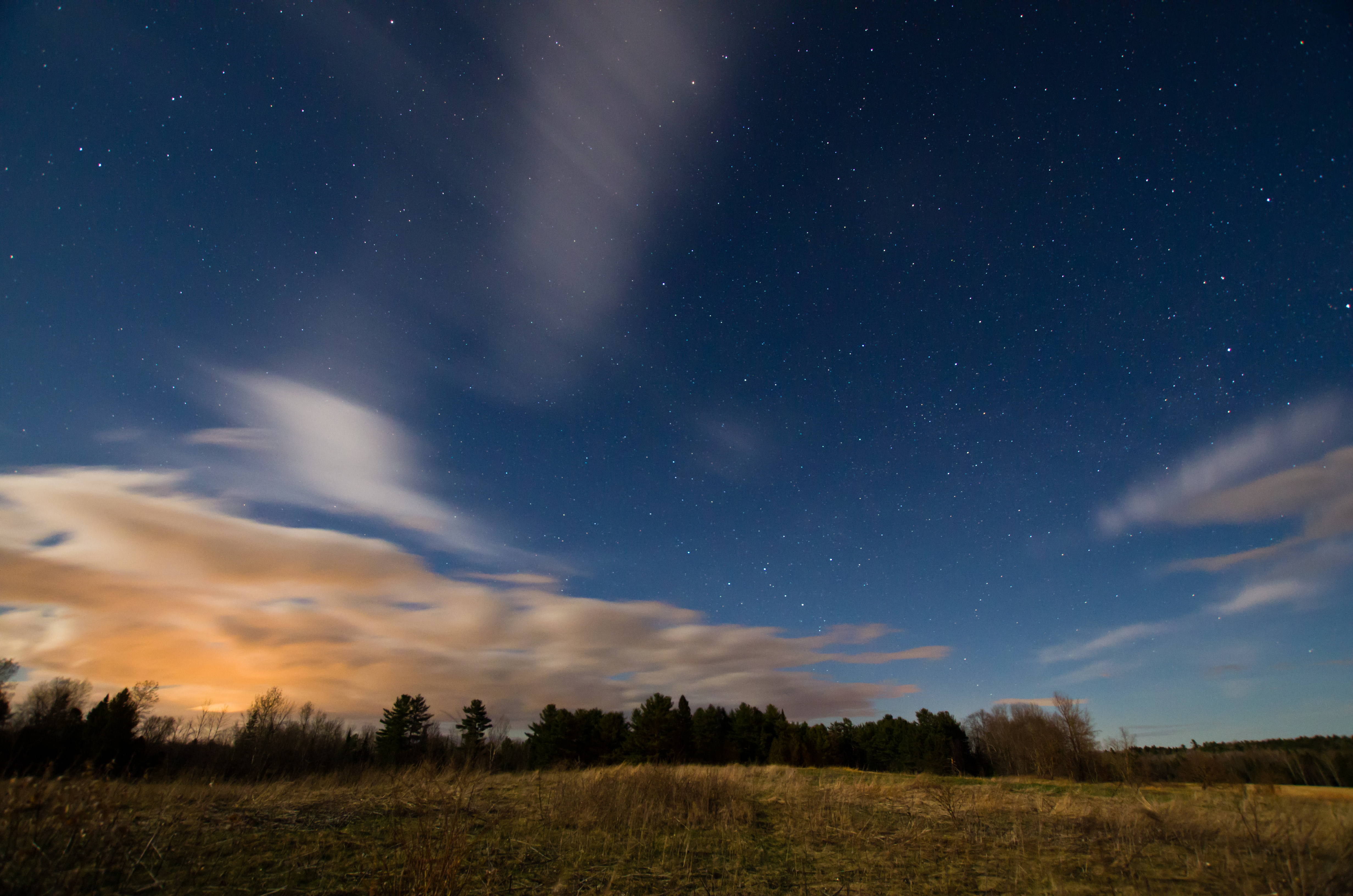
Sunkhaze Meadows Under the Stars; Benton, Maine
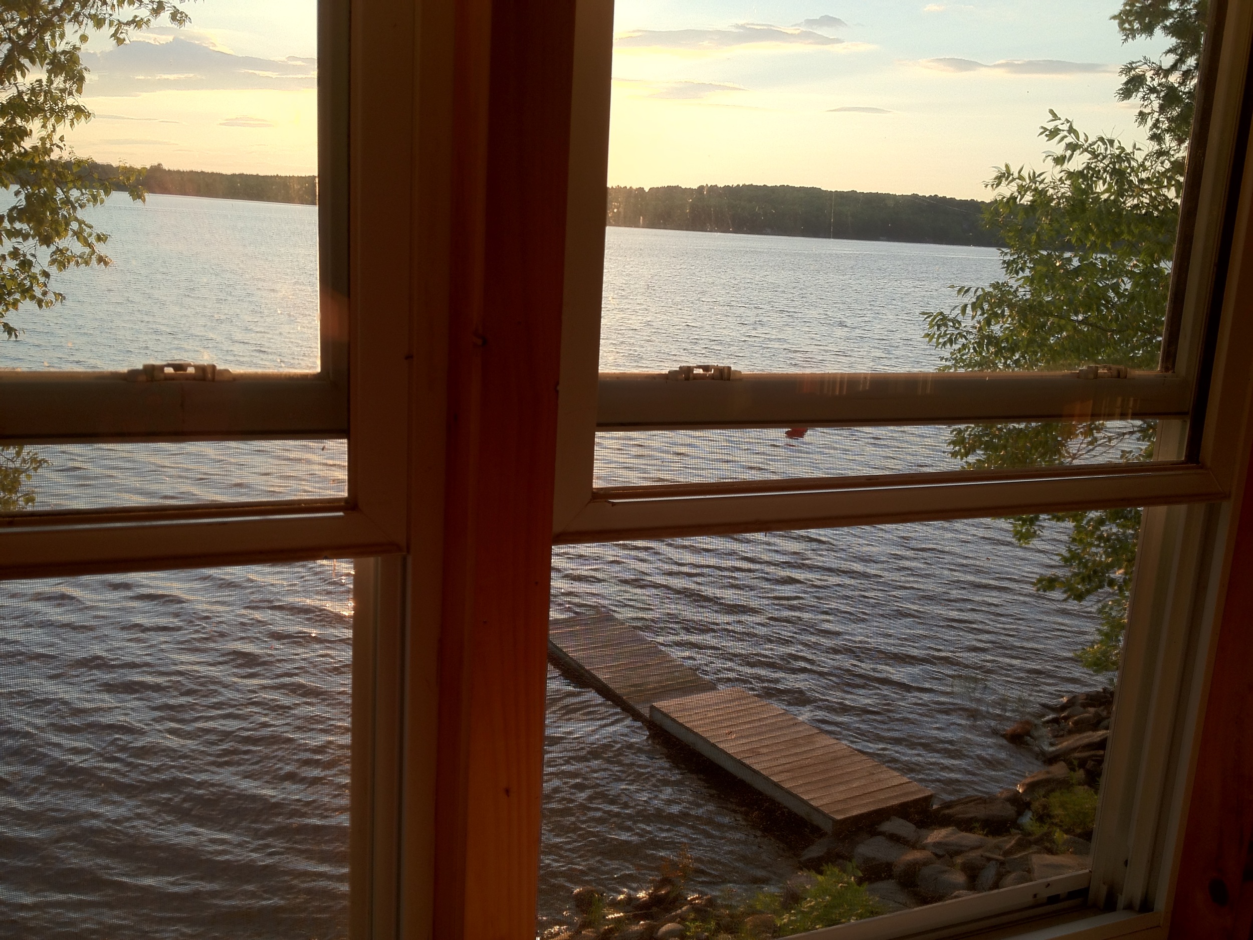
View from 2nd story
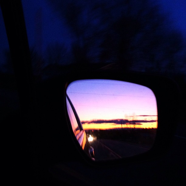
Sunset from the side-view mirror
Robert's Row

#fishinglife #chennai #lifelessons #blue #green #fish #boat #storiesofindia #instamood #picoftheday #view #shotoniphone6 #india #net #joshuajaay
Leighton Street; Waterville, Maine
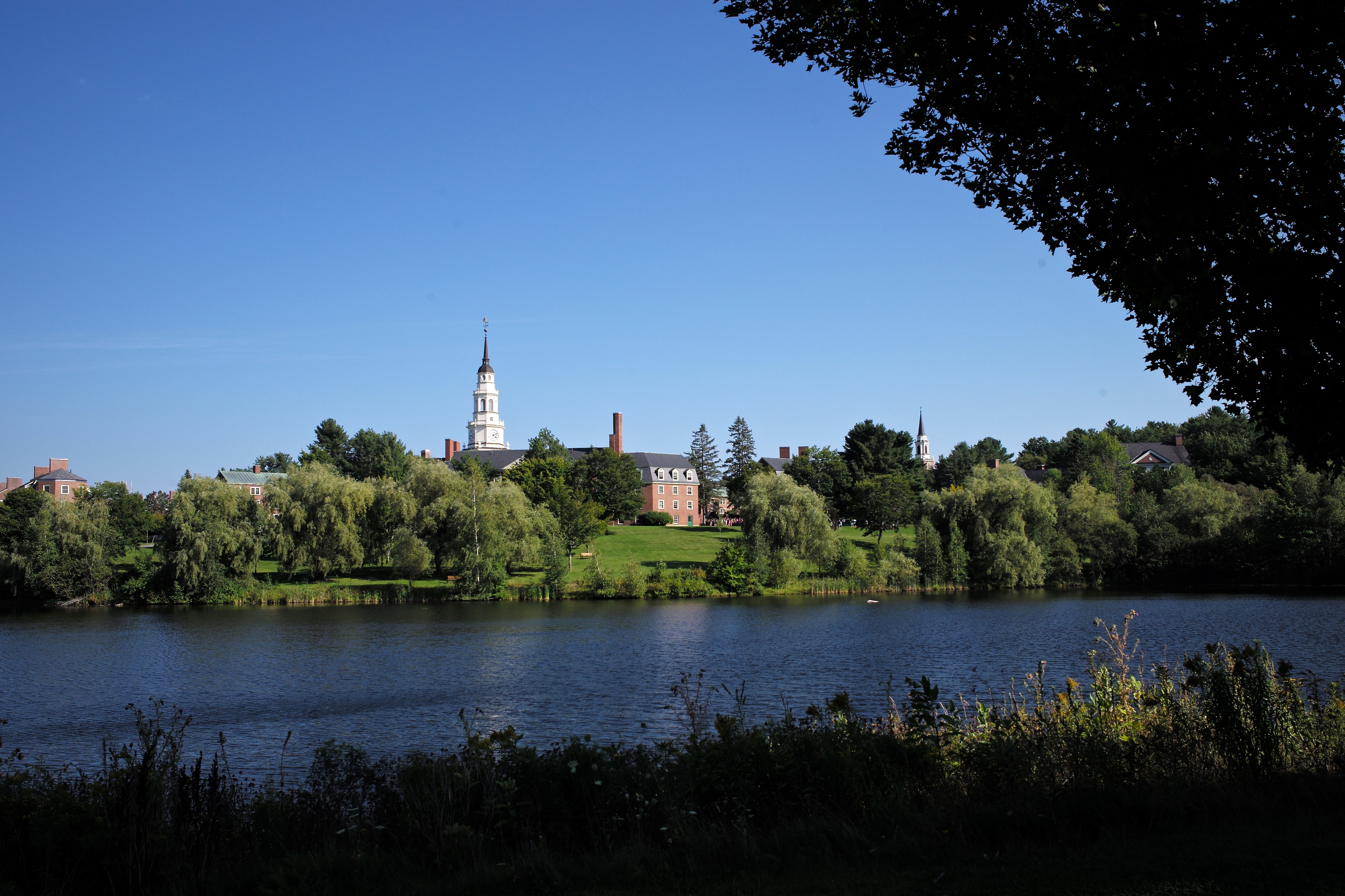
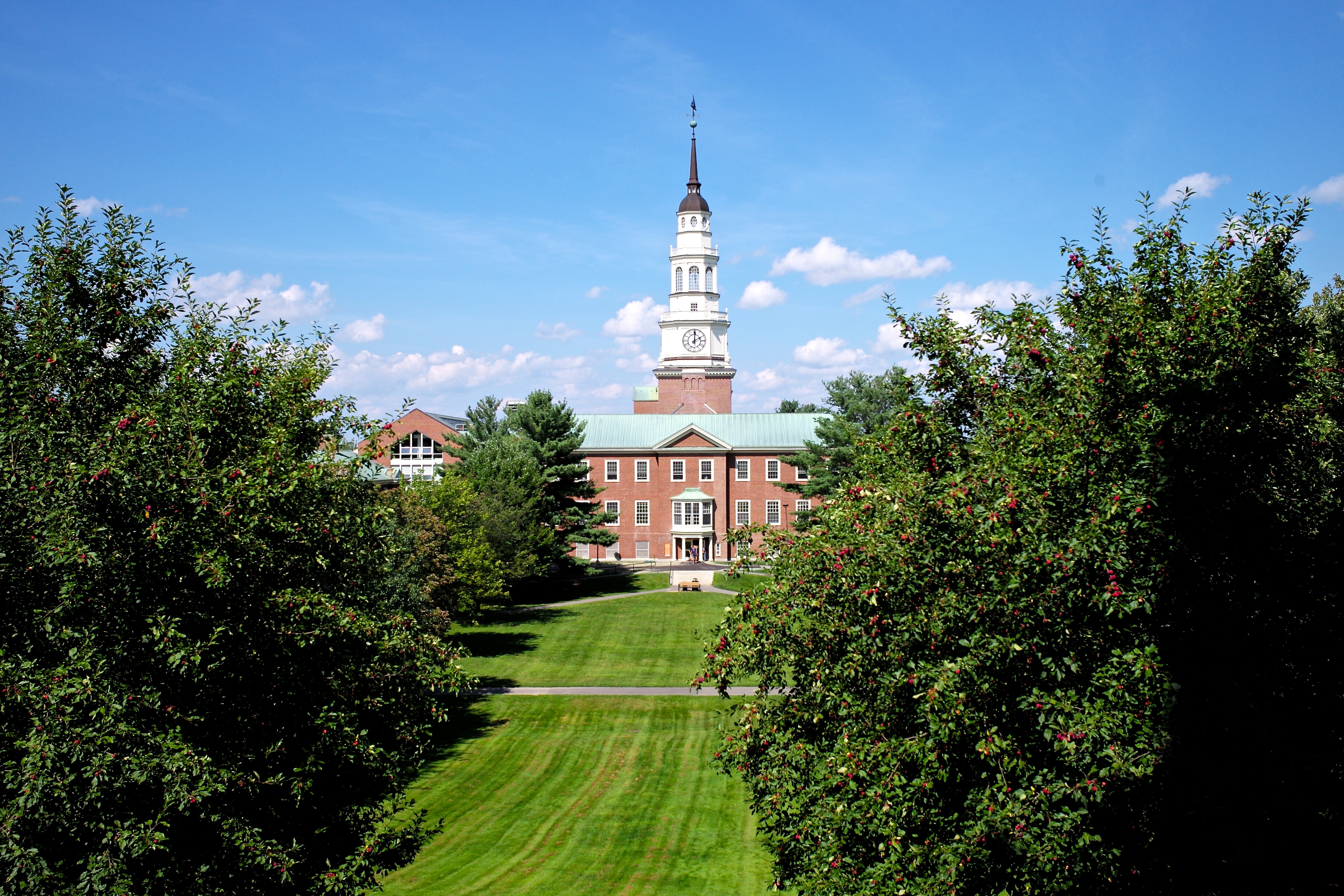
Colby College

SI - June 9, 2013; Main Street; Waterville, Maine

SI - March 10; Waterville, Maine
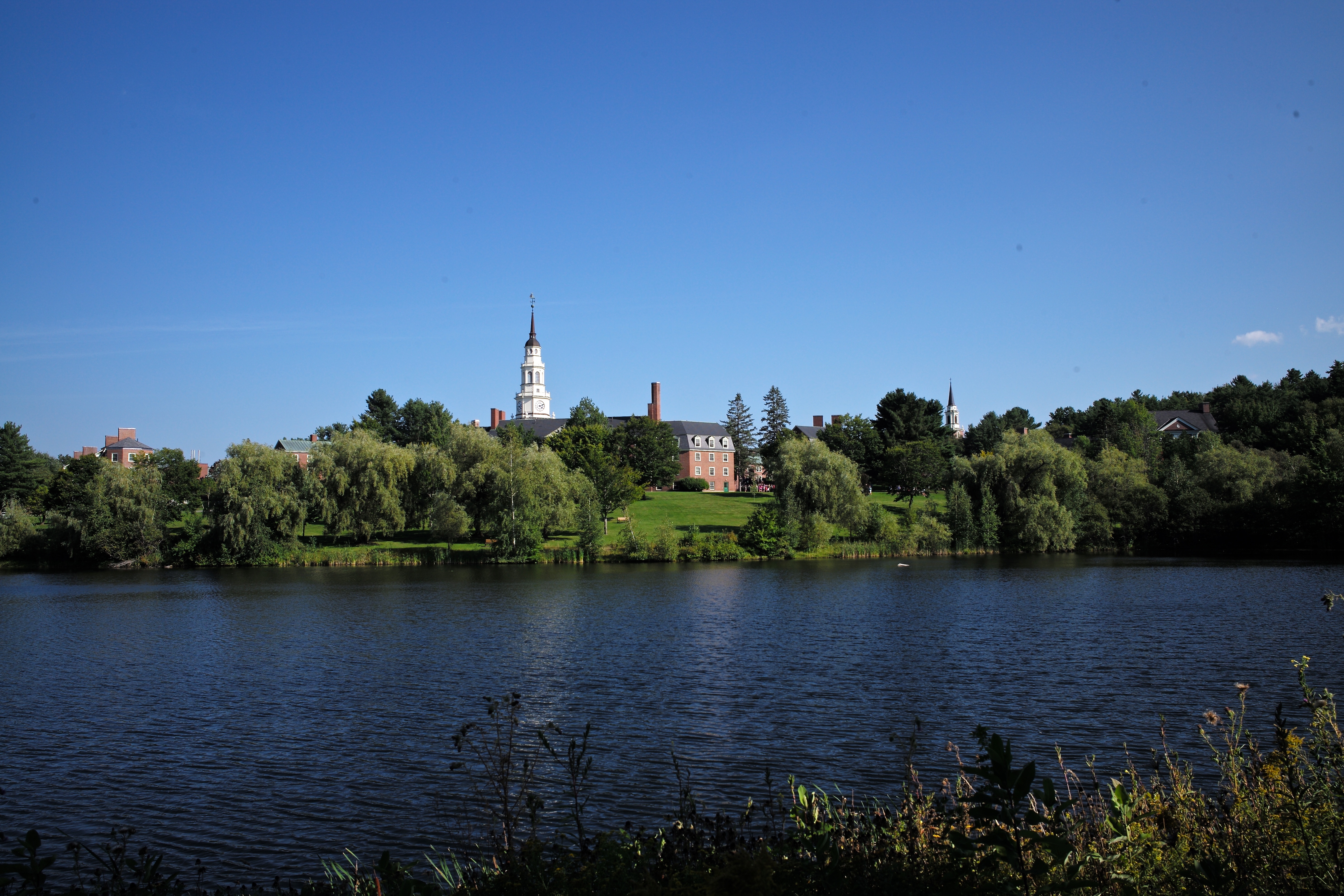
Colby College: Miller Library viewed from Lorimer Chapel
Colby College
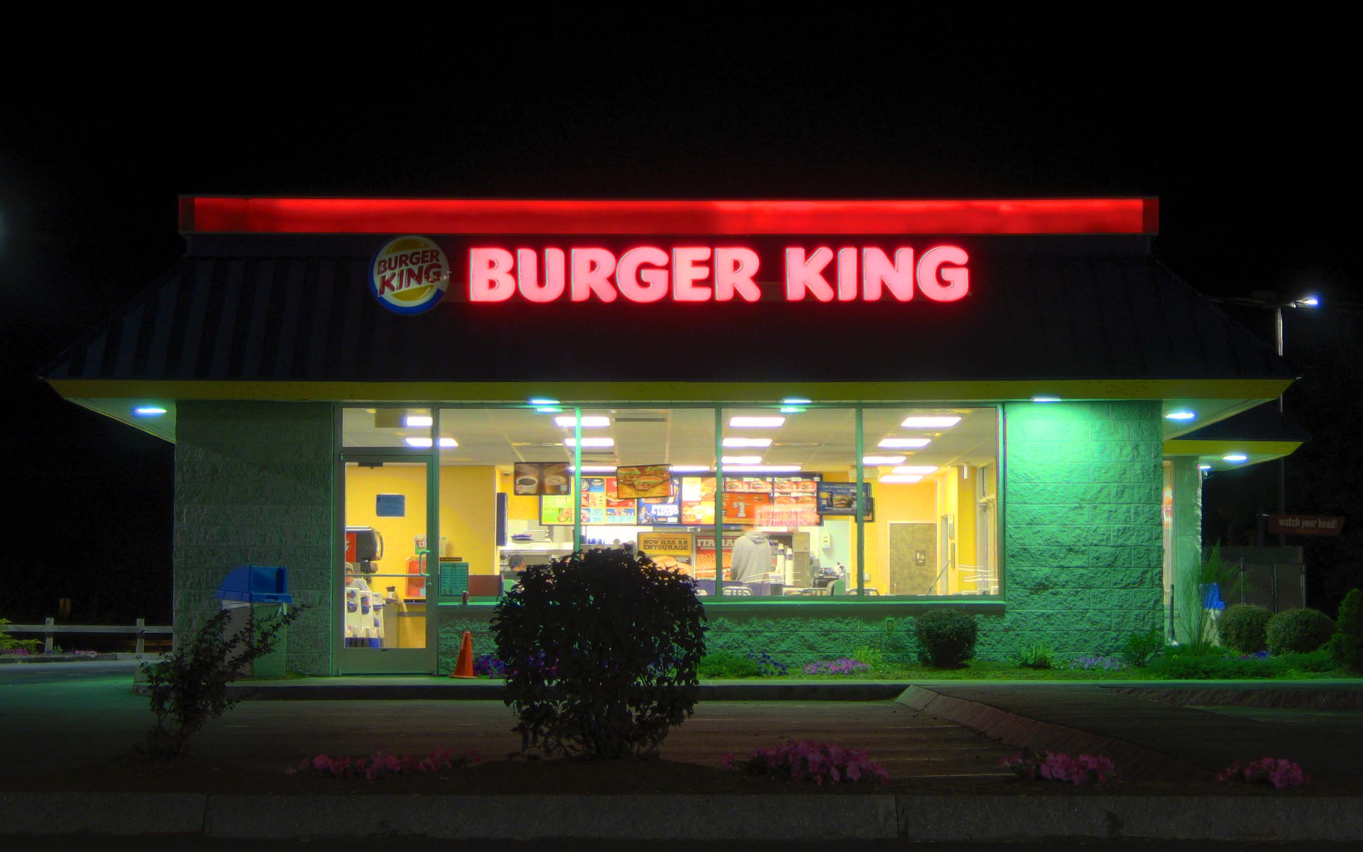
Burger King at Night; Waterville, Maine
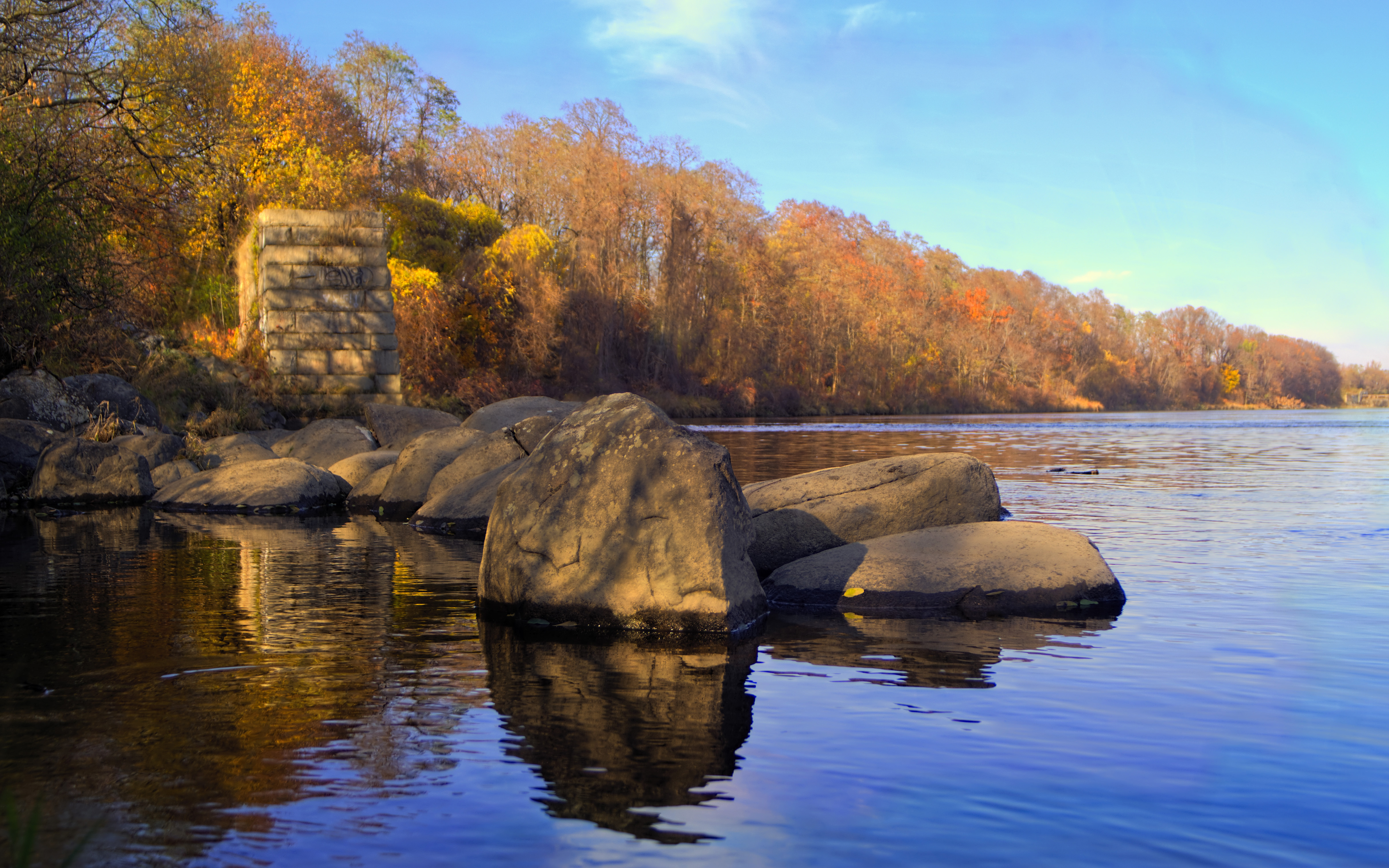
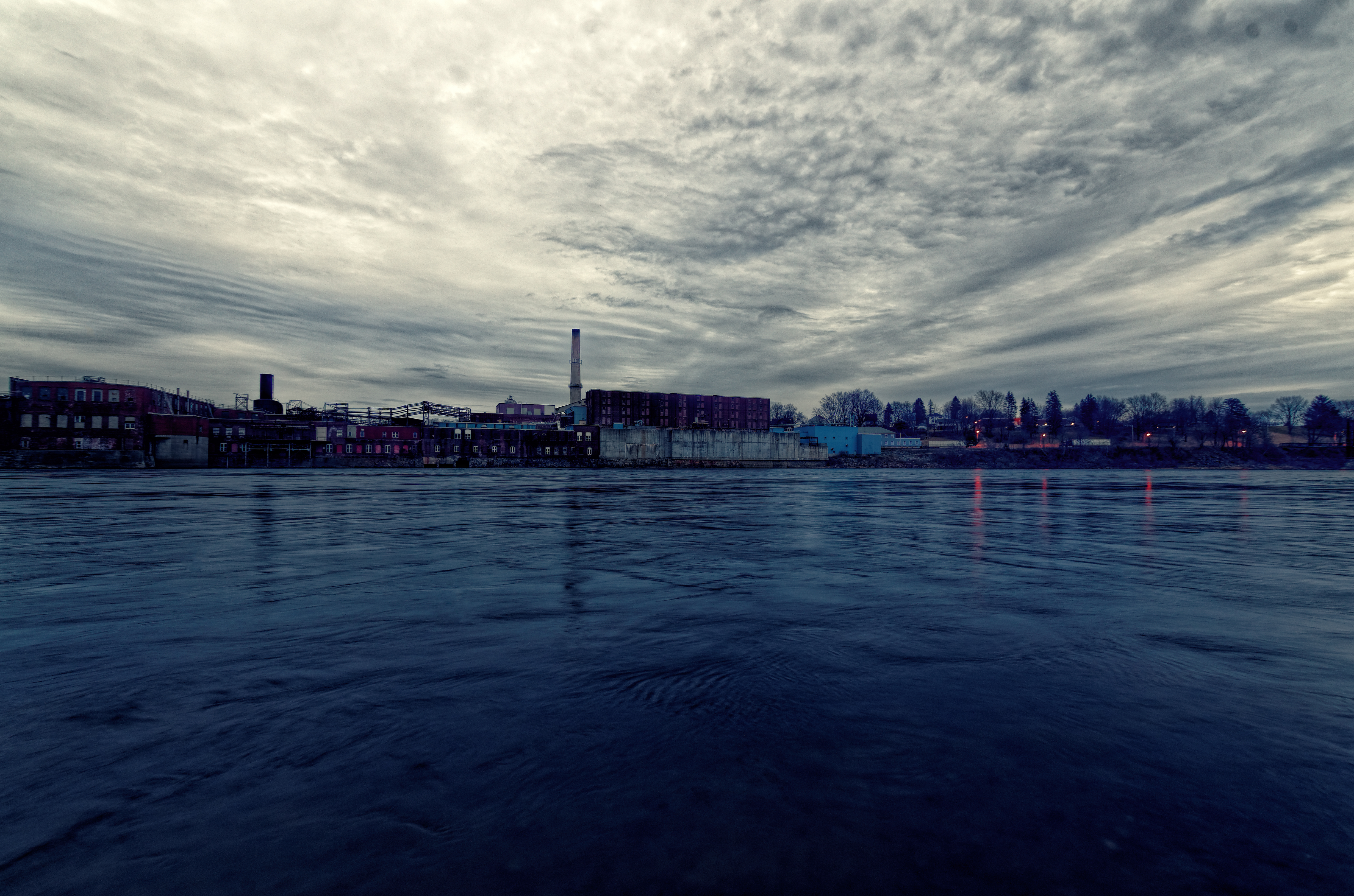
Sebasticook River; Winslow, Maine
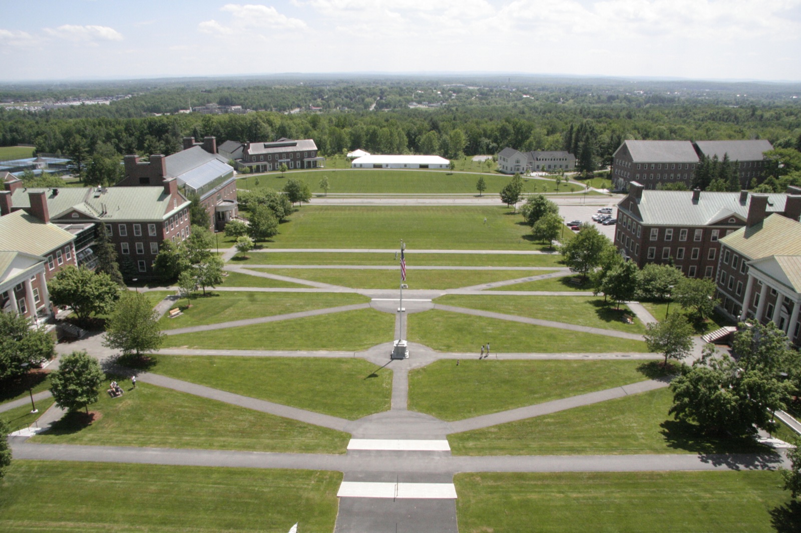
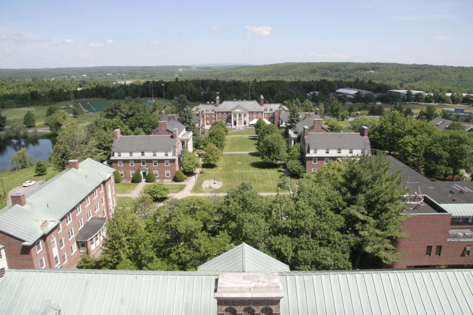
Academic Quad
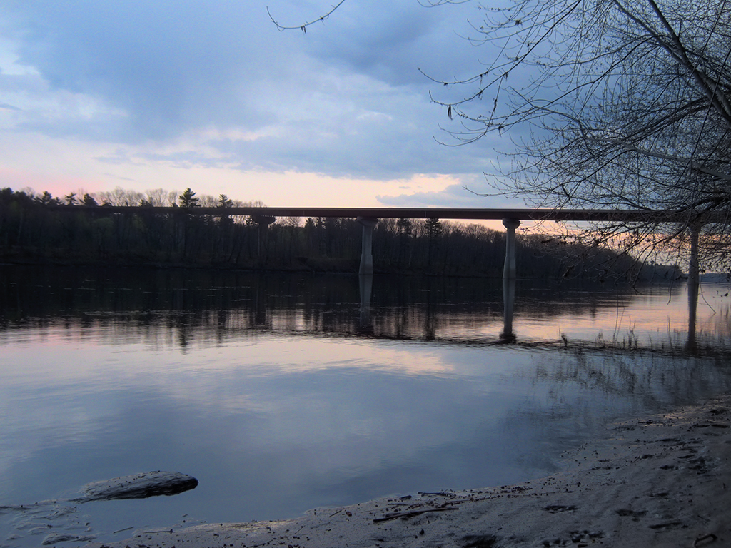
Carter Memorial Bridge

Sunny Fall 10/13/06 3:25pm

Miller lawn 9/28/06 12:23pm

Miller lawn 9/28 12:23pm
November 9, 2014 - Kennebec River

SI - May 19, 2013; The Kennebec; Waterville-Winslow, Maine
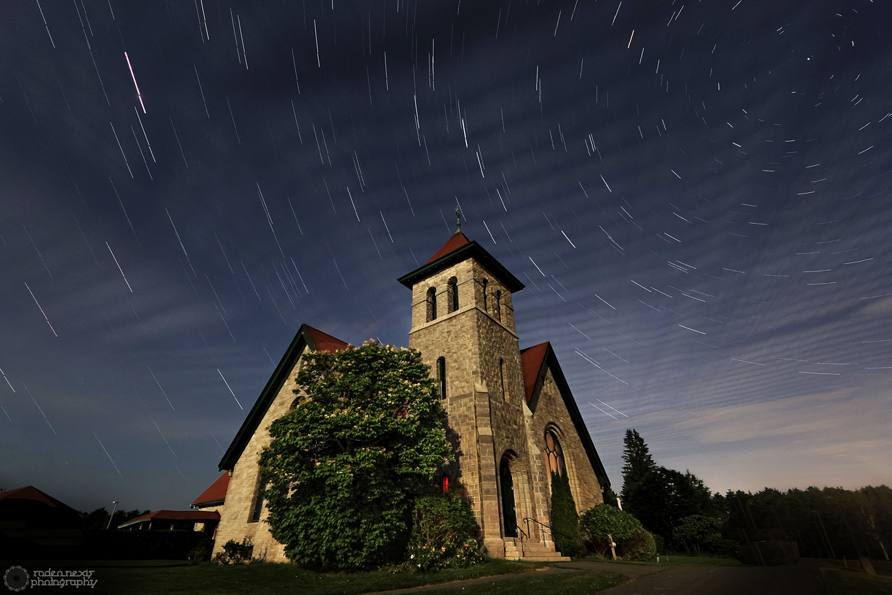
Moody Chapel - Star Trails

Chris and Anne

Sunset over Unity Pond
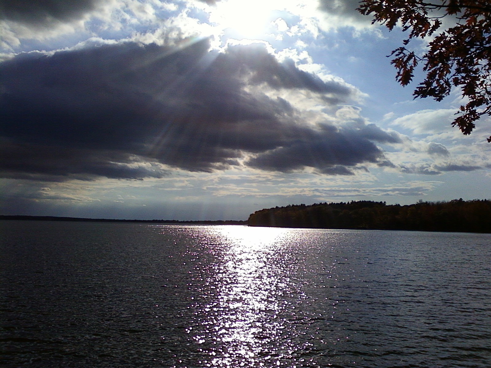
Fall At Lake Winnecook

Colby Sunset; Waterville, Maine
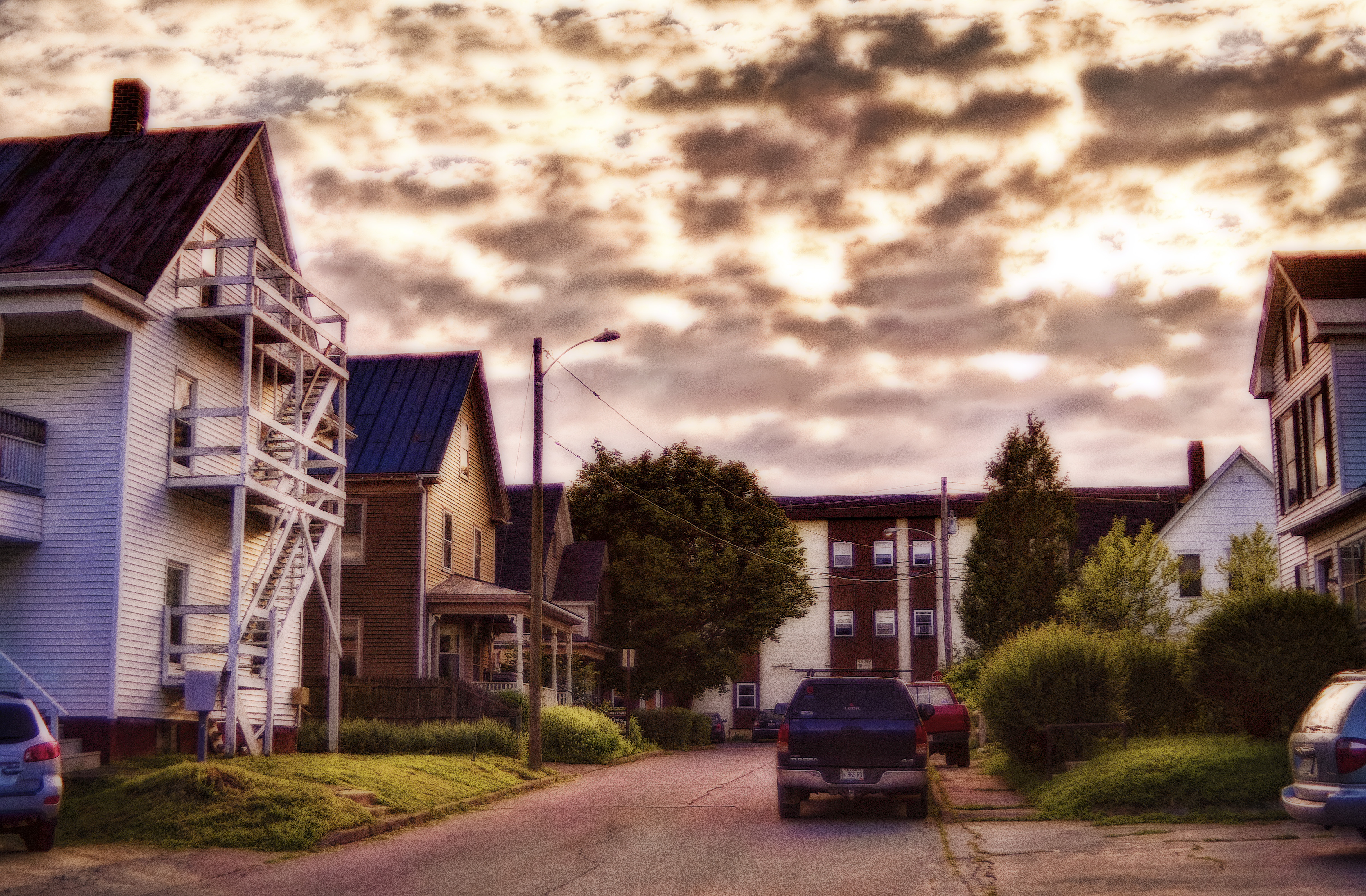
Rolling; Waterville, Maine

Colby College
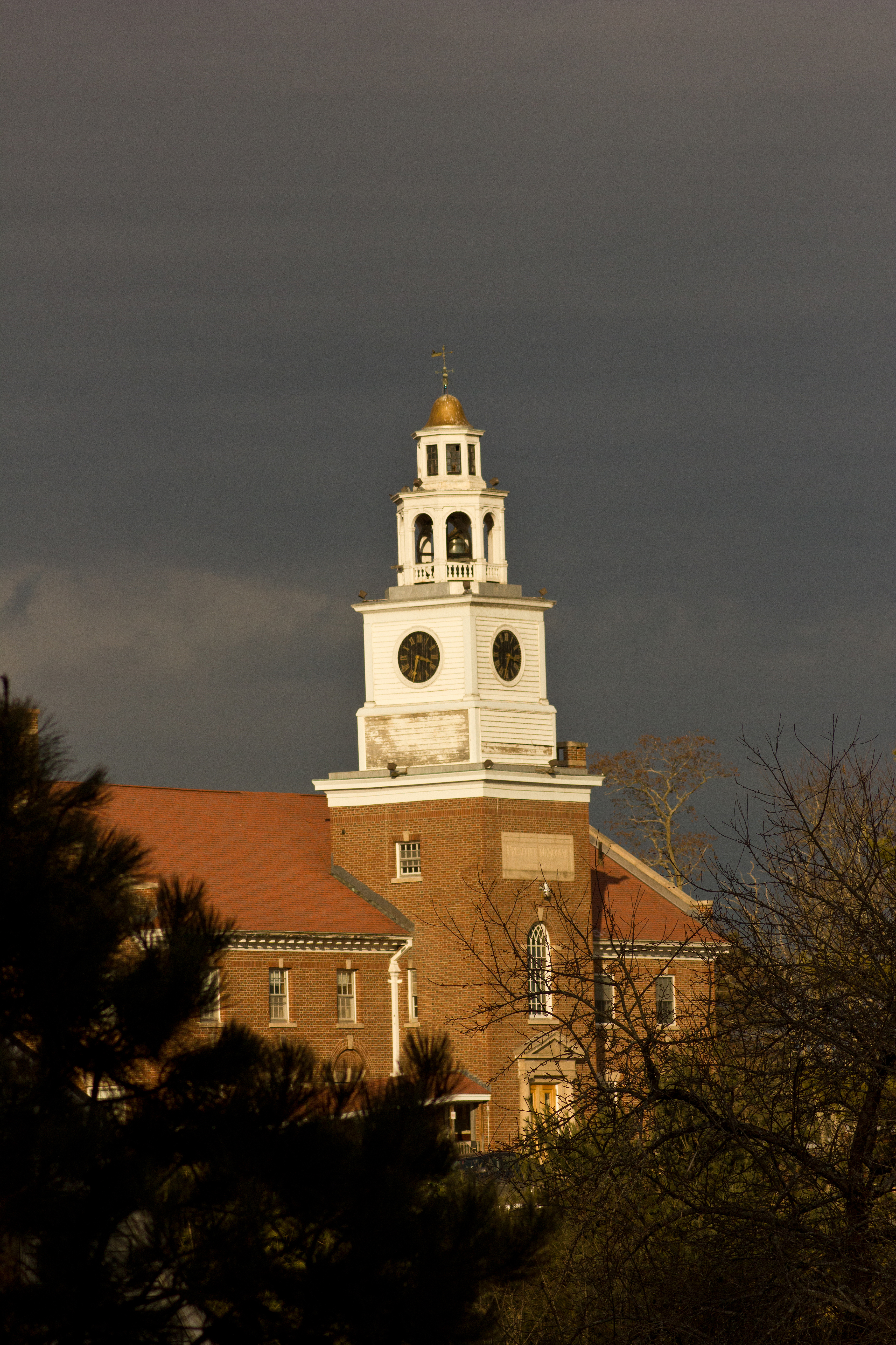
Prescott Memorial Building
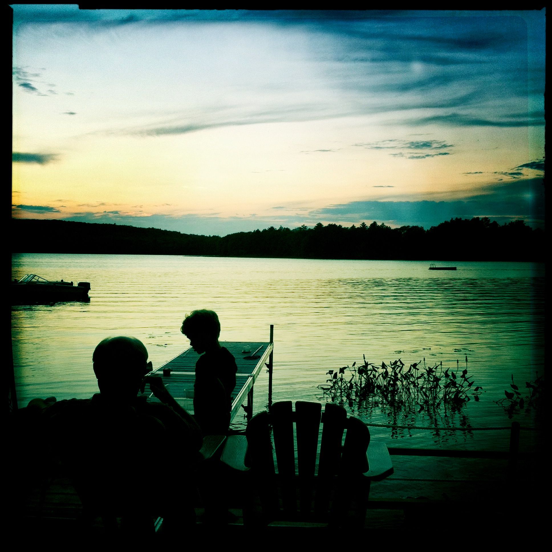
Pop Pop
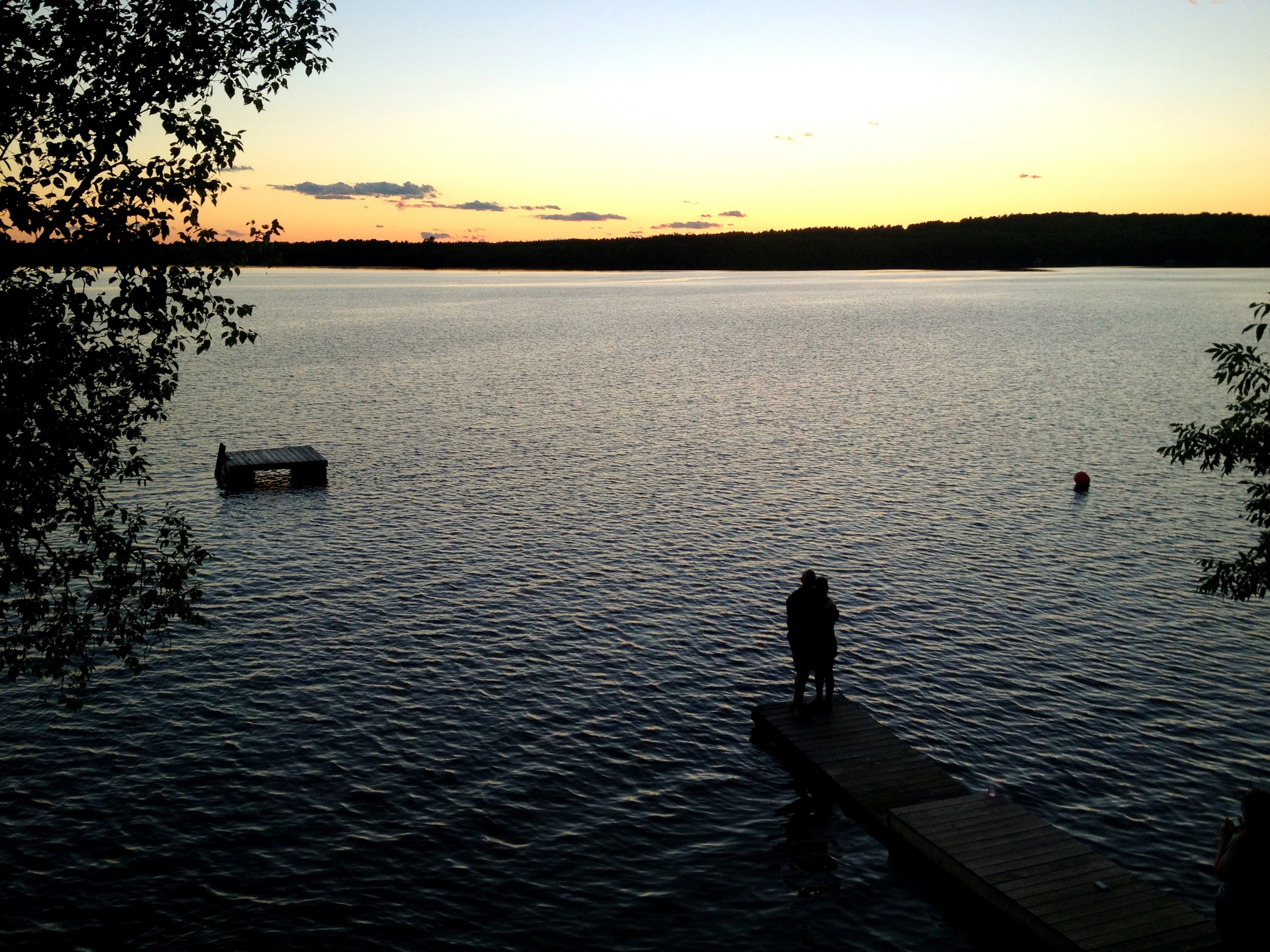
Unity Pond Sunset
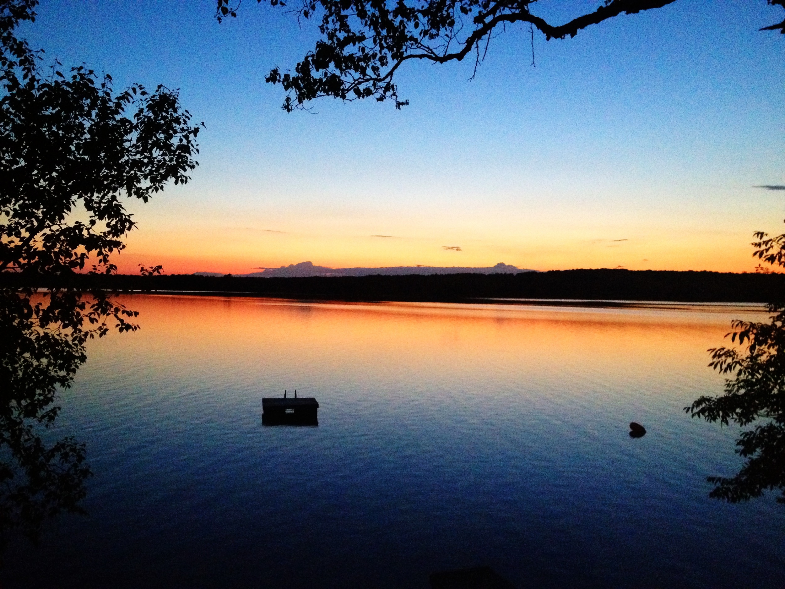
Sunset over Unity Pond

Sunset over Unity Pond
Vernal Pool
Field of Dreams covered bridge
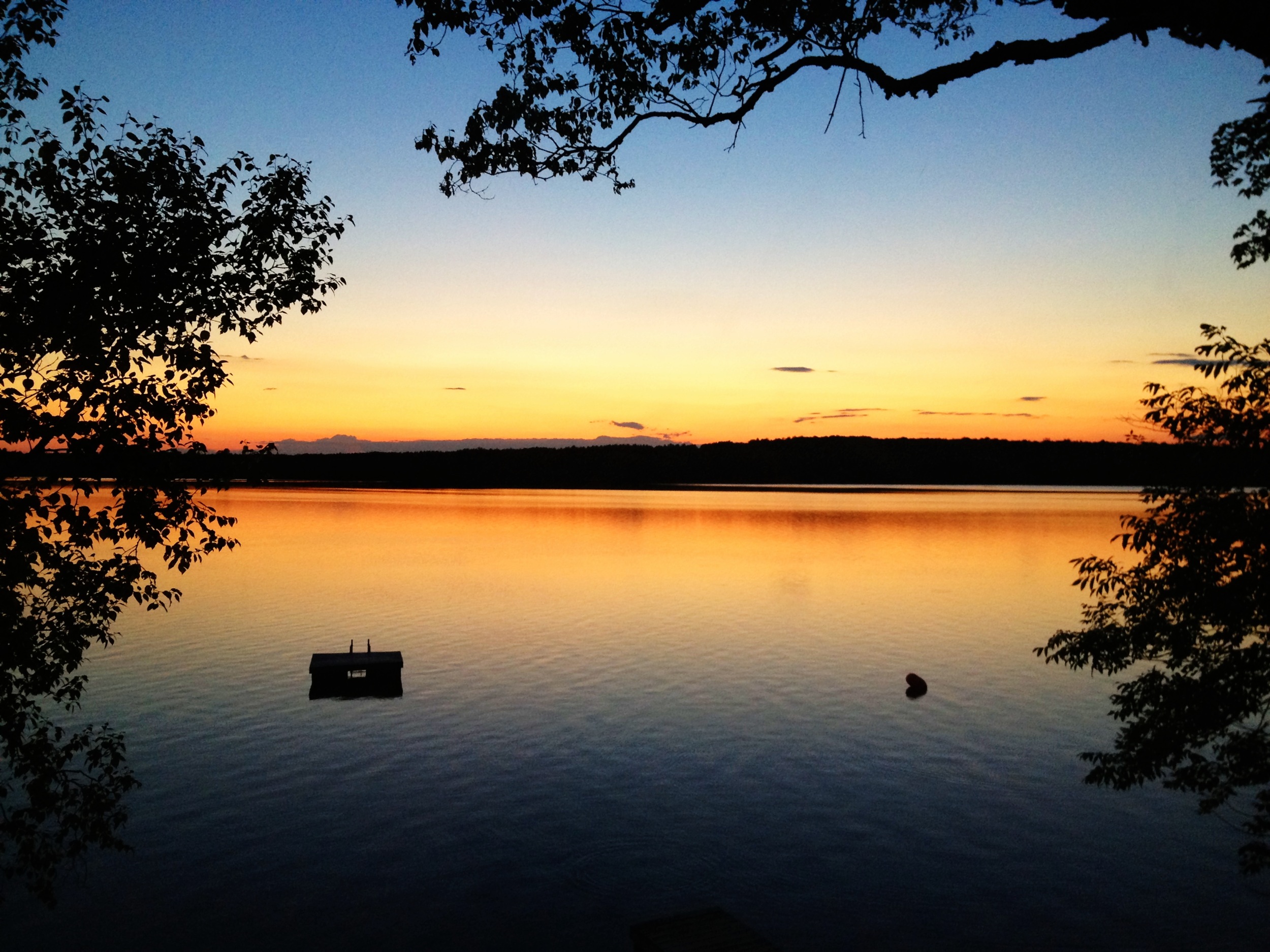
Sunset over Unity Pond
Topographic Map of Clinton, ME, USA
Find elevation by address:

Places in Clinton, ME, USA:
Places near Clinton, ME, USA:
Clinton
35 Trask Rd
1 Willis Rd
35 Albion Rd
Benton
28 Richards Rd
River Rd, Benton, ME, USA
Falls Rd, Benton, ME, USA
Unity Unorganized Territory
788 Abbott Rd
1 Totman Ct
239 Upper Main St
16 Elm St
Fairfield
Fairfield
21 Silver St
216 Winslow Rd
32 Me-100
33 Minnow Ln
Albion
Recent Searches:
- Elevation of 7 Waterfall Way, Tomball, TX, USA
- Elevation of SW 57th Ave, Portland, OR, USA
- Elevation of Crocker Dr, Vacaville, CA, USA
- Elevation of Pu Ngaol Community Meeting Hall, HWHM+3X7, Krong Saen Monourom, Cambodia
- Elevation of Royal Ontario Museum, Queens Park, Toronto, ON M5S 2C6, Canada
- Elevation of Groblershoop, South Africa
- Elevation of Power Generation Enterprises | Industrial Diesel Generators, Oak Ave, Canyon Country, CA, USA
- Elevation of Chesaw Rd, Oroville, WA, USA
- Elevation of N, Mt Pleasant, UT, USA
- Elevation of 6 Rue Jules Ferry, Beausoleil, France