Elevation of Clearbrook, MN, USA
Location: United States > Minnesota > Clearwater County >
Longitude: -95.431123
Latitude: 47.6919008
Elevation: 410m / 1345feet
Barometric Pressure: 96KPa
Elevation Map:
Satellite Map:
Related Photos:
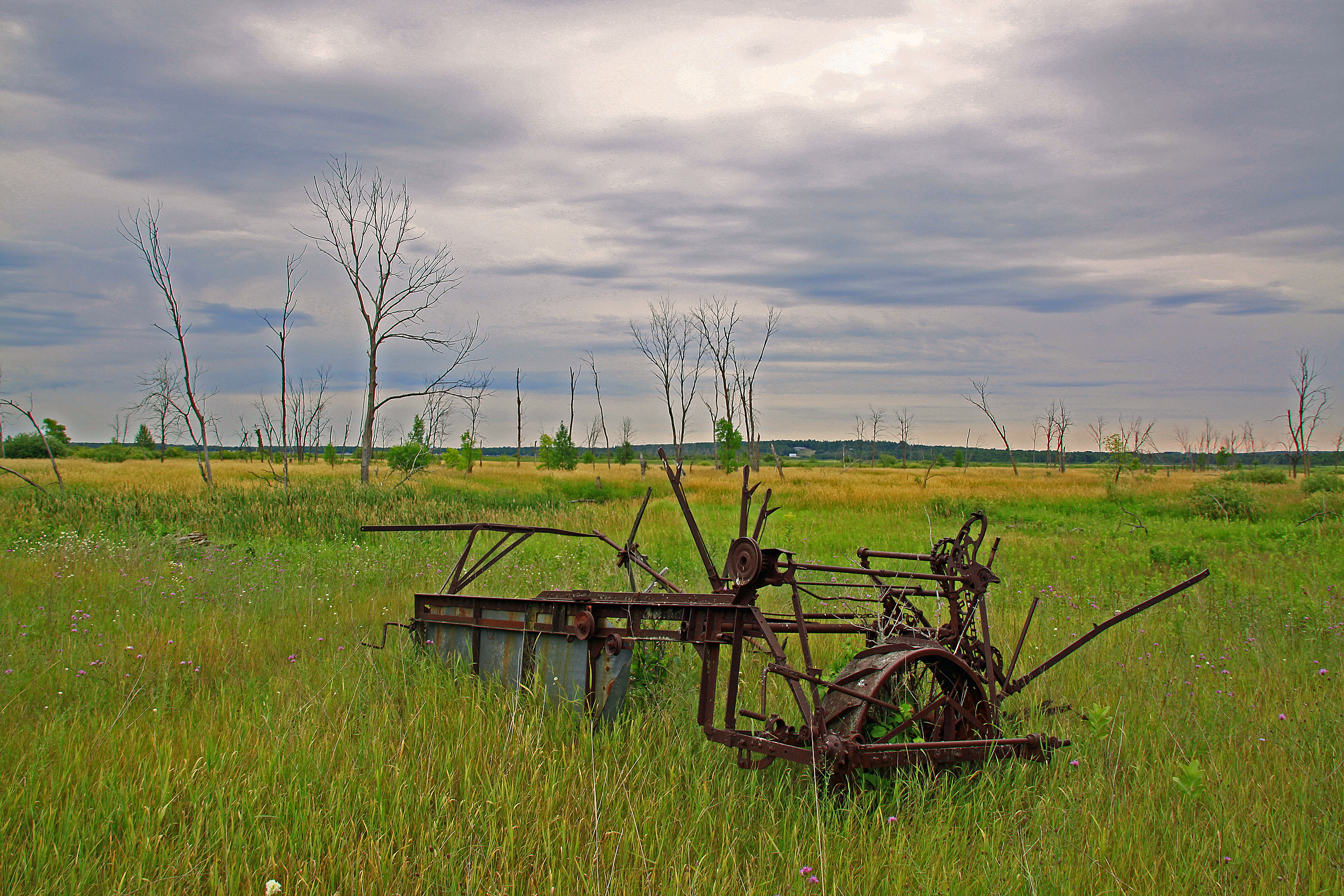
An Old Farm Implement

Water Slide at Pine Lake
GPS pictures 1365
GPS pictures 1364
GPS pictures 1353
GPS pictures 1352

Marjorie McNeely Conservatory
GPS pictures 1381
GPS pictures 1366

Hartz Foods' Brand Lives in Leonard, MN
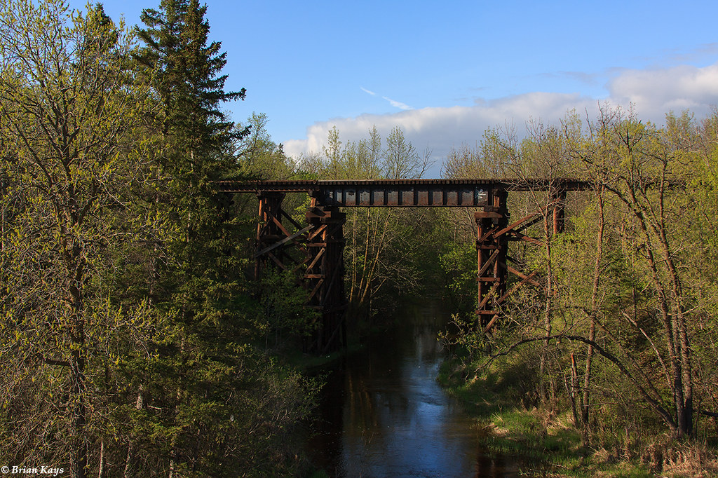
Soo Line Lost River Trestle - Gonvick, MN

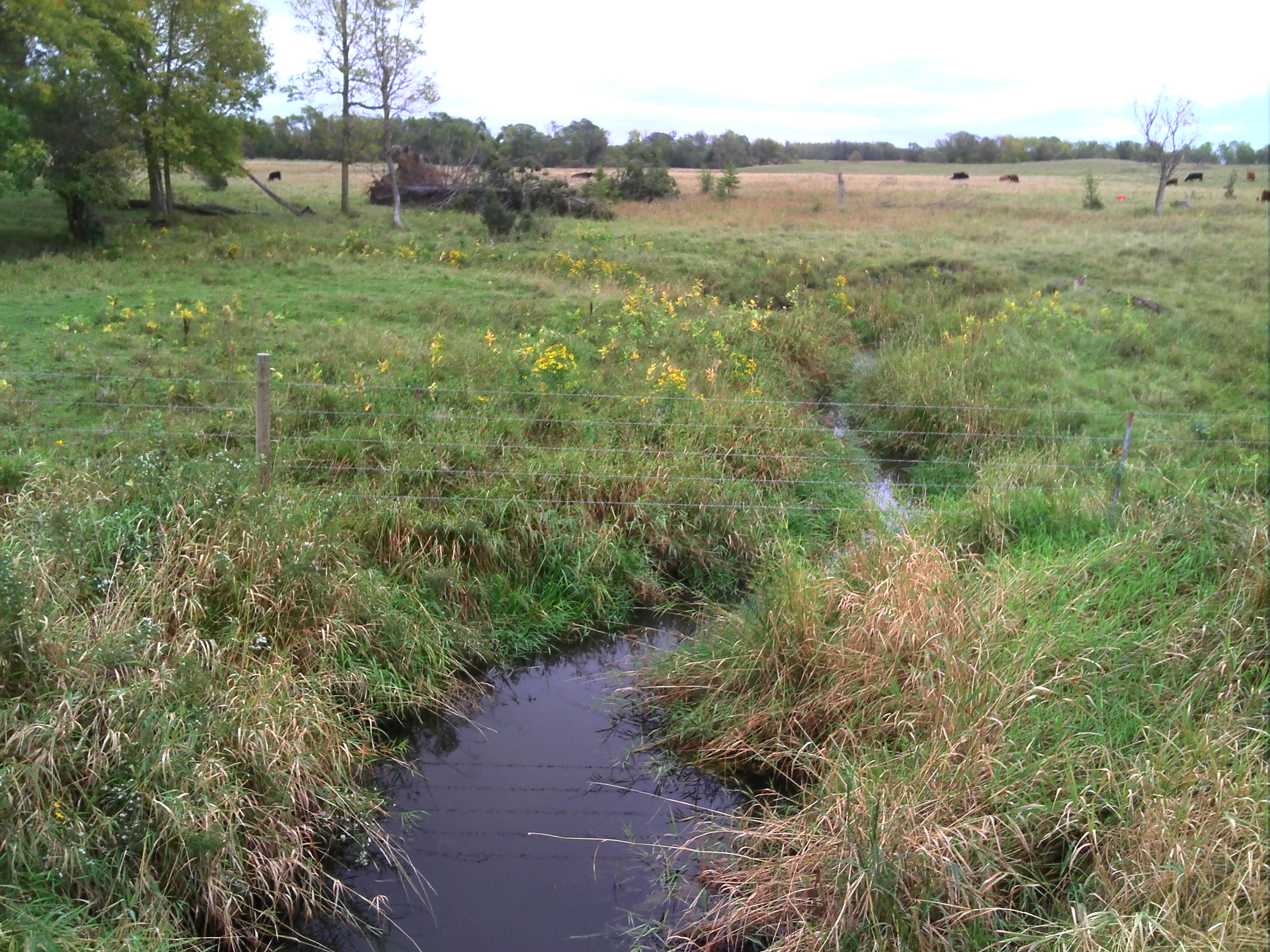
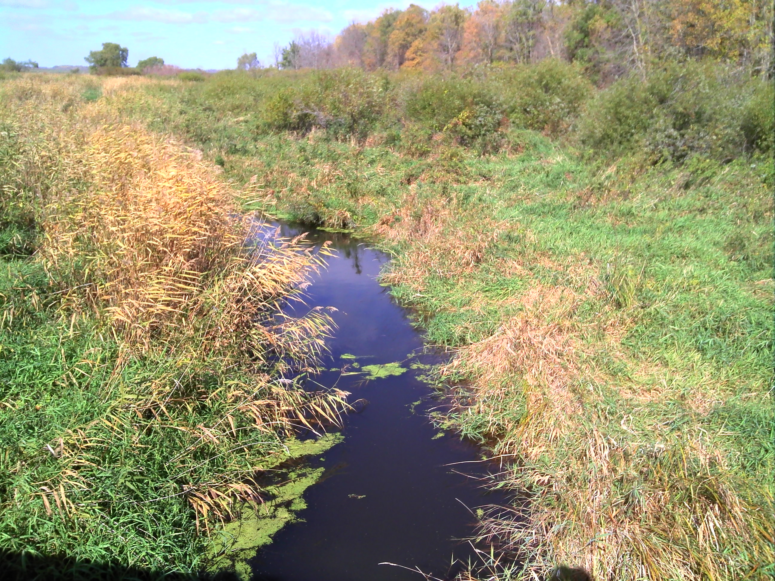
Clearbrook 2

Clearbrook 1

Lunch at the Leonard Cafe
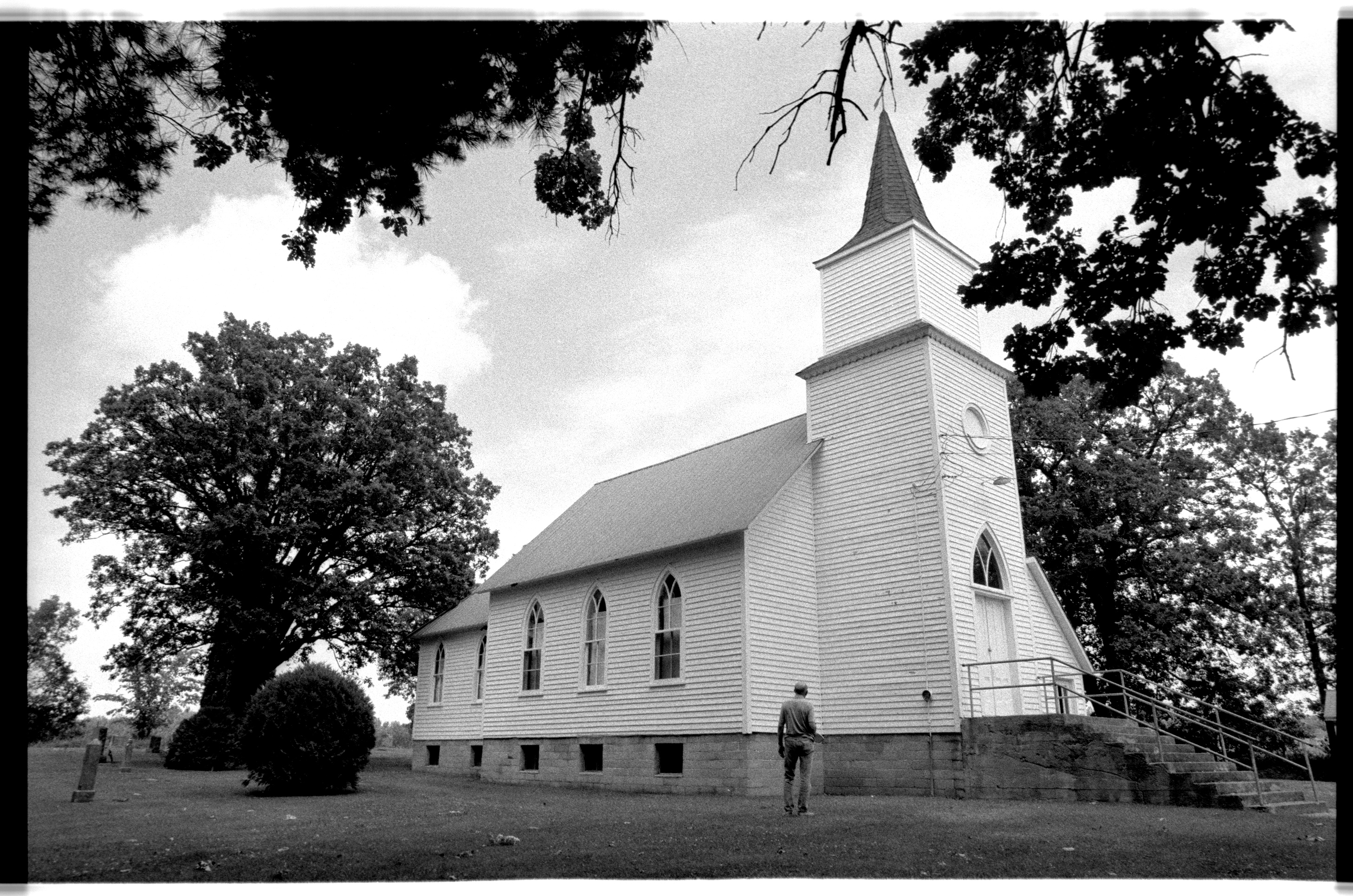
St. Peter Lutheran Church (St. Petri) in Fosston Minnesota.
Topographic Map of Clearbrook, MN, USA
Find elevation by address:

Places in Clearbrook, MN, USA:
Places near Clearbrook, MN, USA:
MN-92, Clearbrook, MN, USA
40357 191st Ave
40357 191st Ave
42283 161st Ave
43129 141st Ave
2nd Ave, Gonvick, MN, USA
Eddy Township
Clearwater County
Bagley
20 Central St NE, Bagley, MN, USA
14126 340th Street
Shevlin
4 1st St, Shevlin, MN, USA
Minerva Township
MN-92, Bagley, MN, USA
Solway
La Salle Lake State Recreation Area
Itasca Township
Lake Itasca
Bemidji Theatre
Recent Searches:
- Elevation of 72-31 Metropolitan Ave, Middle Village, NY, USA
- Elevation of 76 Metropolitan Ave, Brooklyn, NY, USA
- Elevation of Alisal Rd, Solvang, CA, USA
- Elevation of Vista Blvd, Sparks, NV, USA
- Elevation of 15th Ave SE, St. Petersburg, FL, USA
- Elevation of Beall Road, Beall Rd, Florida, USA
- Elevation of Leguwa, Nepal
- Elevation of County Rd, Enterprise, AL, USA
- Elevation of Kolchuginsky District, Vladimir Oblast, Russia
- Elevation of Shustino, Vladimir Oblast, Russia