Elevation of Clear Lake Township, IN, USA
Location: United States > Indiana > Steuben County >
Longitude: -84.825509
Latitude: 41.7338862
Elevation: 314m / 1030feet
Barometric Pressure: 98KPa
Elevation Map:
Satellite Map:
Related Photos:
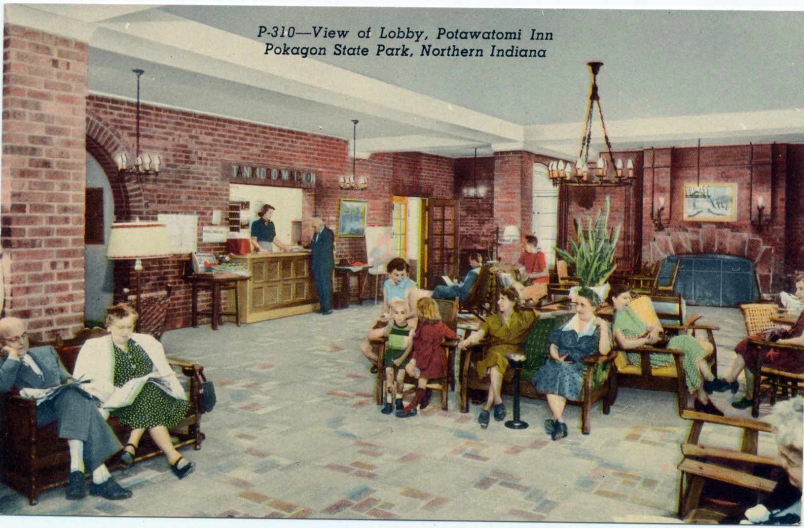
Postcard: Lobby, Potawatomi Lodge, Pokagon State Park, Indiana
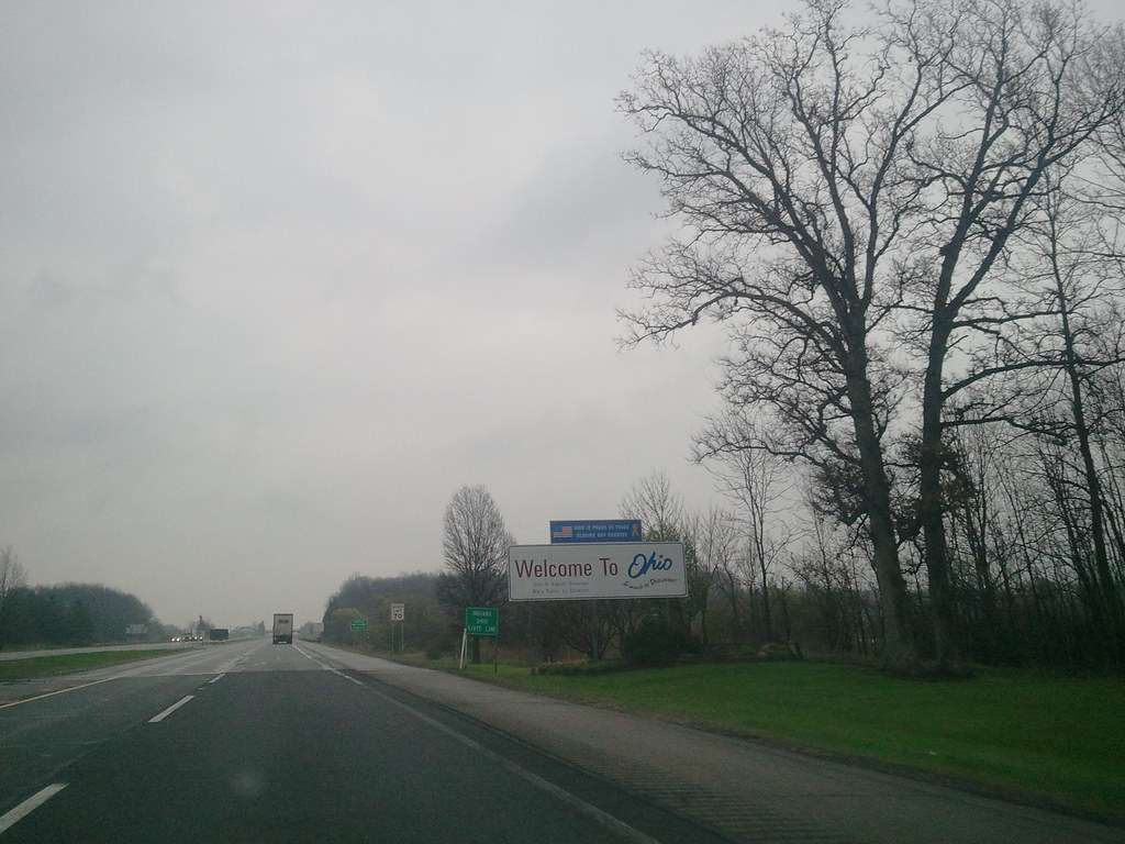
2011-05-06 08.08.26 Welcome to Ohio
2011-05-06 07.58.34
Misc Pictures from 8-13-15 007

Bygone Barn

Camp Pioneer

Au revior #Ohio, et bonjour Paris! #BeanDays #Montpelier #Barn

Pokagon SP, Indiana
Camp Pioneer
Looking into Michigan (and Indiana)

2012.356

Misc Pictures from 8-13-15 022

Misc Pictures from 8-13-15 018

Misc Pictures from 8-13-15 009

Misc Pictures from 8-13-15 021

Nice sunset in Angola, IN with family!
Misc Pictures from 8-13-15 016

Misc Pictures from 8-13-15 017

Misc Pictures from 8-13-15 019

Misc Pictures from 8-13-15 020
Topographic Map of Clear Lake Township, IN, USA
Find elevation by address:

Places in Clear Lake Township, IN, USA:
Places near Clear Lake Township, IN, USA:
Lake Drive Clear Lake, Fremont, IN, USA
Clear Lake
14530 Grange Rd
14530 Grange Rd
14530 Grange Rd
14530 Grange Rd
14530 Grange Rd
14530 Grange Rd
14530 Grange Rd
14530 Grange Rd
14530 Grange Rd
York Township
Camden Township
Fremont Township
N Wayne St, Fremont, IN, USA
Fremont
189 W 400 N
IN-, Fremont, IN, USA
3331 In-127
2785 In-127
Recent Searches:
- Elevation of Lampiasi St, Sarasota, FL, USA
- Elevation of Elwyn Dr, Roanoke Rapids, NC, USA
- Elevation of Congressional Dr, Stevensville, MD, USA
- Elevation of Bellview Rd, McLean, VA, USA
- Elevation of Stage Island Rd, Chatham, MA, USA
- Elevation of Shibuya Scramble Crossing, 21 Udagawacho, Shibuya City, Tokyo -, Japan
- Elevation of Jadagoniai, Kaunas District Municipality, Lithuania
- Elevation of Pagonija rock, Kranto 7-oji g. 8"N, Kaunas, Lithuania
- Elevation of Co Rd 87, Jamestown, CO, USA
- Elevation of Tenjo, Cundinamarca, Colombia