Elevation of Clayton Rd, Concord, CA, USA
Location: United States > California > Contra Costa County > Concord >
Longitude: -121.97802
Latitude: 37.960789
Elevation: 70m / 230feet
Barometric Pressure: 100KPa
Elevation Map:
Satellite Map:
Related Photos:
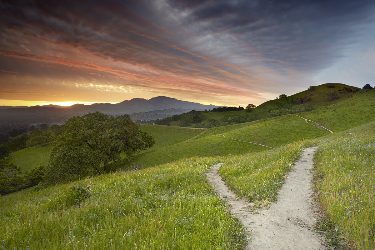
Fork In The Road - Walnut Creek, California
Diablo Spring #1 - Lafayette, California

Aerial view of Mount Diablo in Fog over Northern California
Diablo Valley View #1 - Pleasant Hill, California

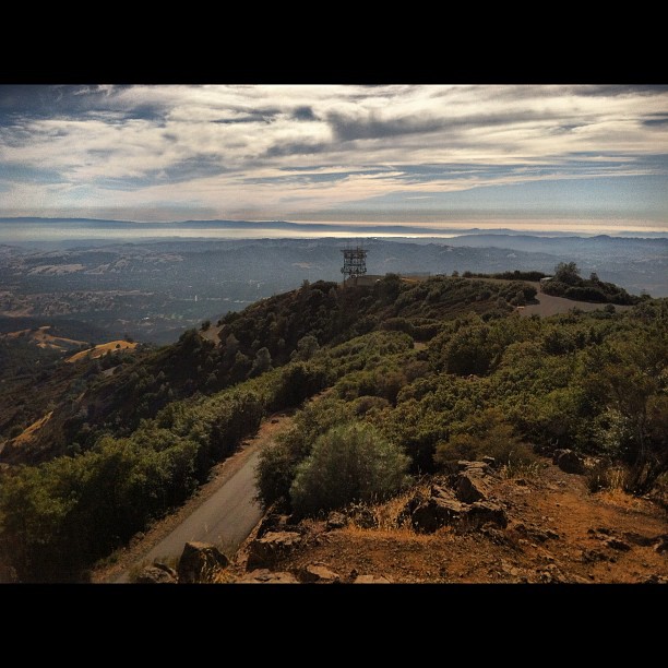
Mt Diablo Fisheye View
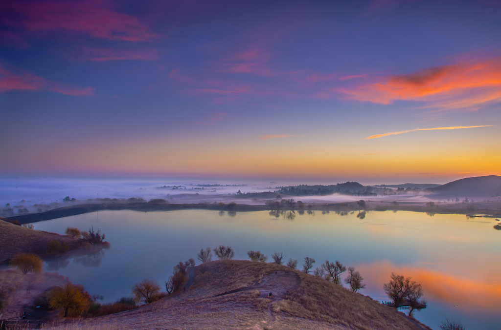
contra loma wide view before sunrise
Muddy waters

Dinosaur Hill Park II
Fossil Ridge Trail - View Large
Moonrise over Iowa

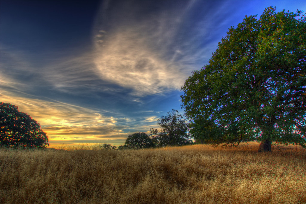
Oak Tree Sunset (3/365)
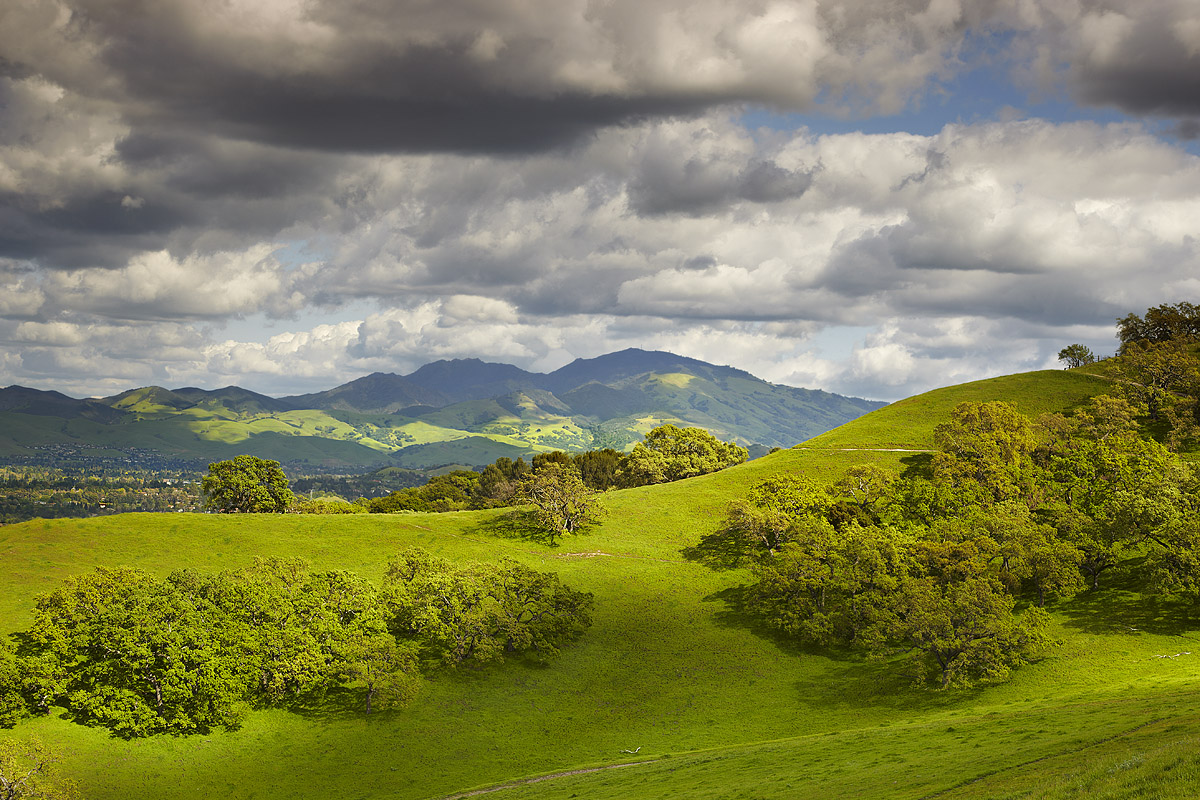
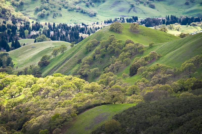
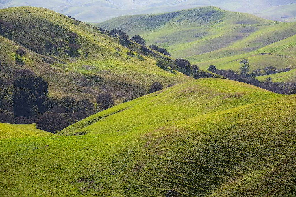
Mount Diablo Foothills

Flag-waver (bottom of photo!) below IOWA's 16-inch guns
Mt. Diablo Sunset

A frosty morning
After the Rains
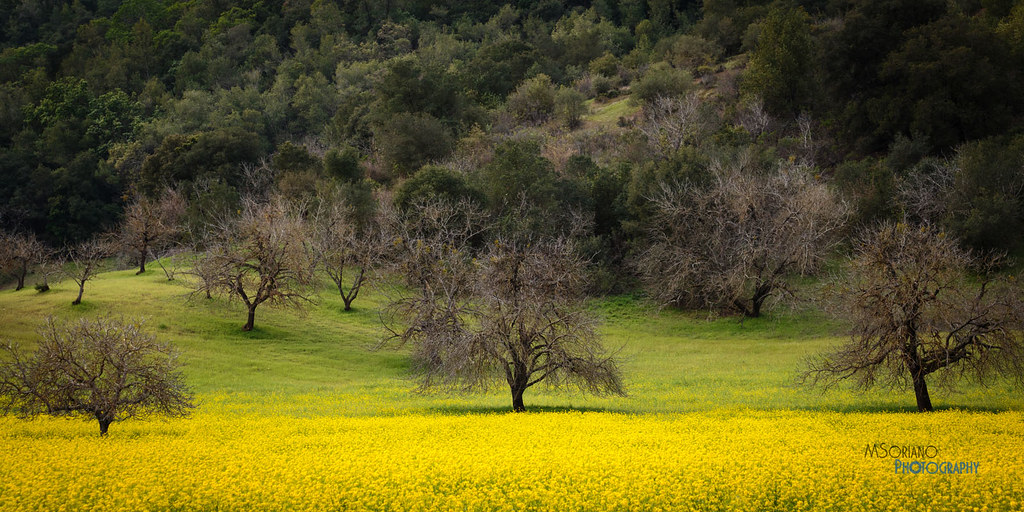
Spring View

California Sunset

The Art Of A Dragonfly

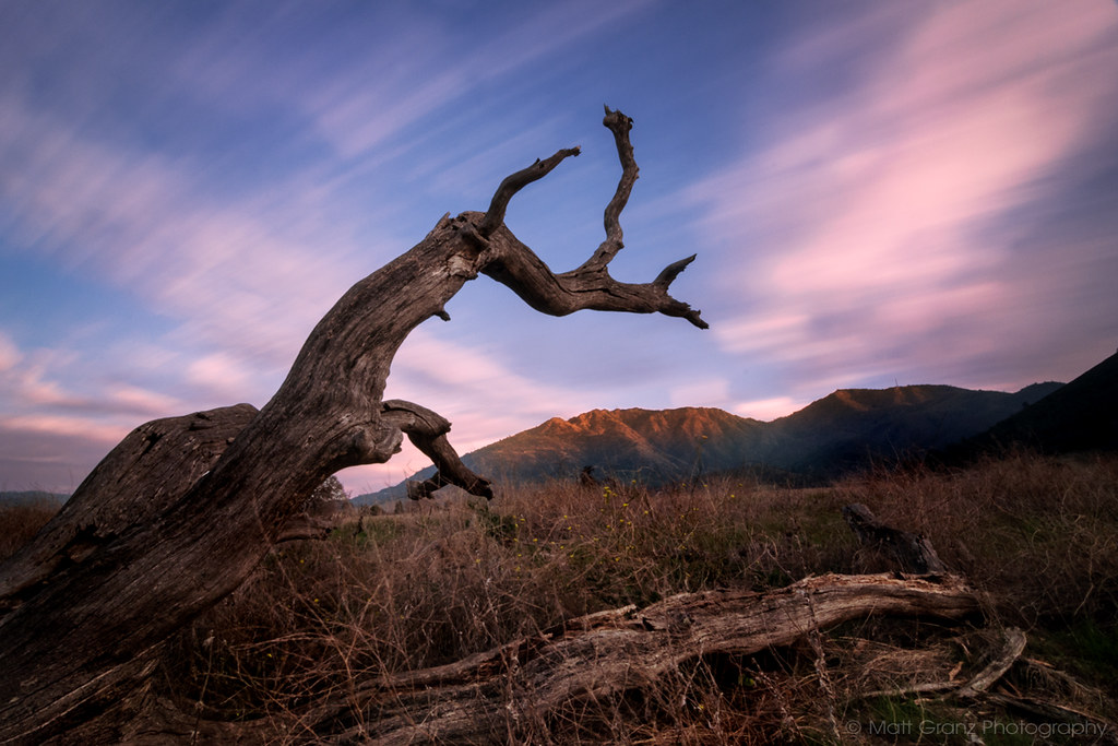
A Gnarly Sunset - California Oak

Sunset from Mount Diablo
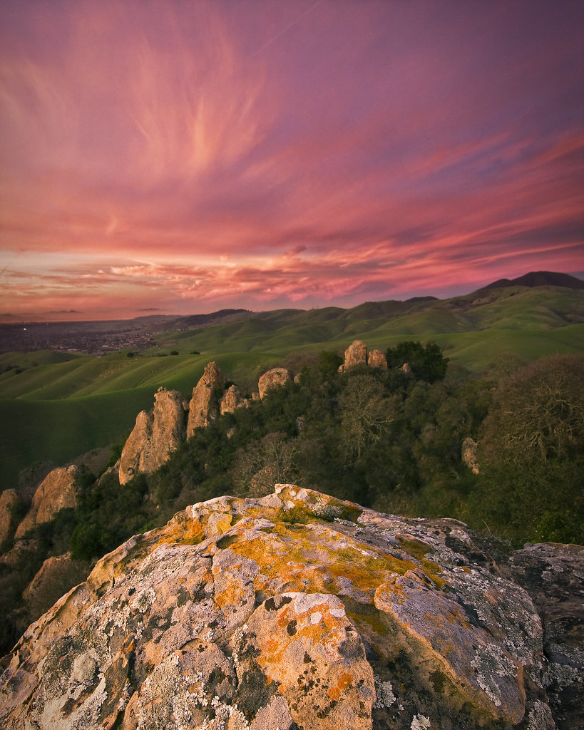
Castle Rocks - Diablo Foothills
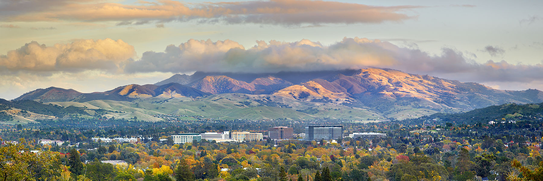
Mt. Diablo to the SF Bay. Awesome view.

Sky Ranch, Winter

winter reflection
Nature with a nice trail n a twist of instragram!

high as a kite
Diablo Hills

clouds and fog at sunrise-contra loma
Mt Wanda Sky

Martinez Cloud Stack

Over Hill & Dale
Flower valley

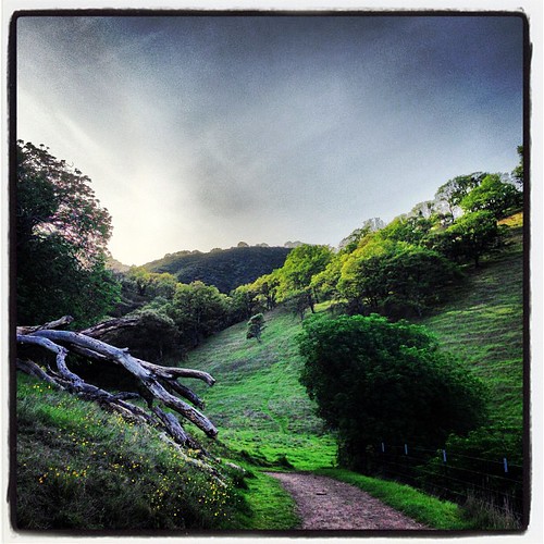
Today's hike
Topographic Map of Clayton Rd, Concord, CA, USA
Find elevation by address:

Places near Clayton Rd, Concord, CA, USA:
4860 Clayton Rd
4912 Clayton Rd
1455 Latour Ln
Curletto Drive
4626 Brenda Cir
1729 Bishop Dr
4600 Clayton Rd
Limewood Court
4490 Juneberry Ct
4414 Corkwood Ct
1439 Bel Air Dr
Concord, CA, USA
1100 Alberta Way
4492 Hock Maple Ct
1220 Pine Hollow Rd
1220 Pine Hollow Rd
5177 Jomar Dr
5414 Louisiana Dr
1102 Vista Point Ln
1059 Rolling Woods Way
Recent Searches:
- Elevation of Unnamed Road, Respublika Severnaya Osetiya — Alaniya, Russia
- Elevation of Verkhny Fiagdon, North Ossetia–Alania Republic, Russia
- Elevation of F. Viola Hiway, San Rafael, Bulacan, Philippines
- Elevation of Herbage Dr, Gulfport, MS, USA
- Elevation of Lilac Cir, Haldimand, ON N3W 2G9, Canada
- Elevation of Harrod Branch Road, Harrod Branch Rd, Kentucky, USA
- Elevation of Wyndham Grand Barbados Sam Lords Castle All Inclusive Resort, End of Belair Road, Long Bay, Bridgetown Barbados
- Elevation of Iga Trl, Maggie Valley, NC, USA
- Elevation of N Co Rd 31D, Loveland, CO, USA
- Elevation of Lindever Ln, Palmetto, FL, USA