Elevation of Clay County, AL, USA
Location: United States > Alabama >
Longitude: -85.848623
Latitude: 33.279527
Elevation: 324m / 1063feet
Barometric Pressure: 97KPa
Elevation Map:
Satellite Map:
Related Photos:

photo #18

photo #39
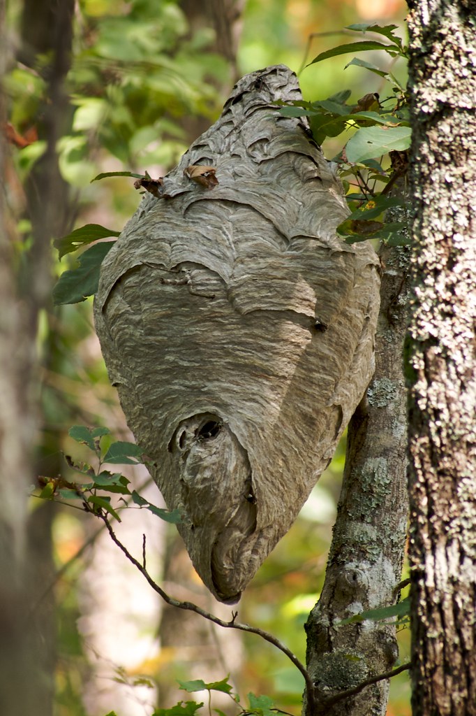
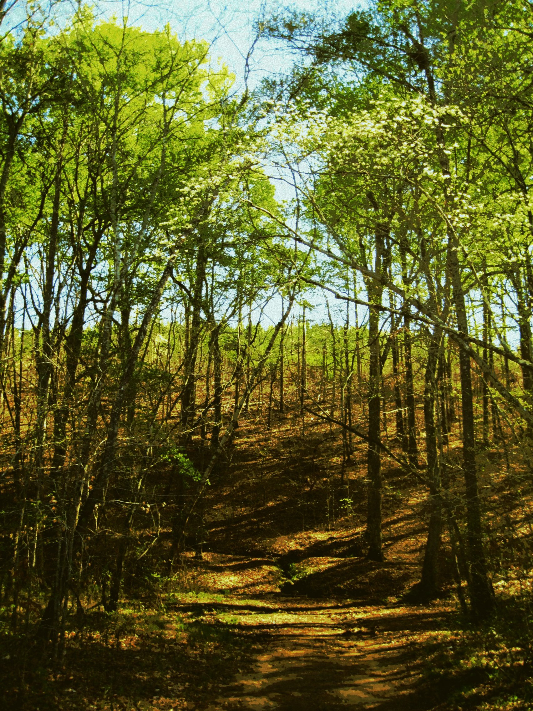
No Honey Here
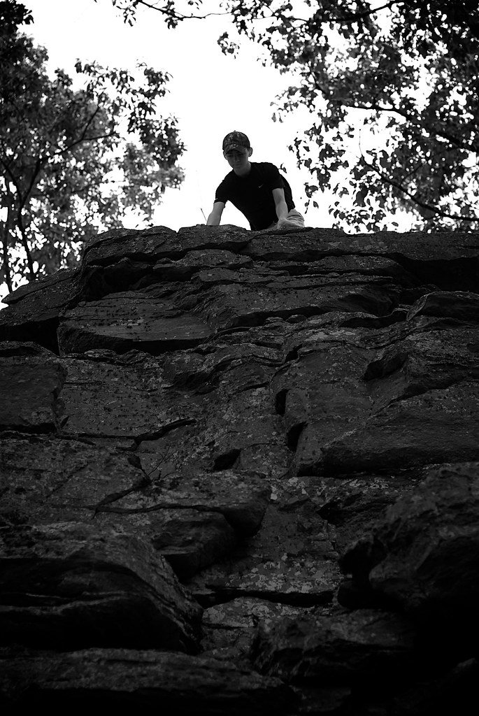
Top of The World
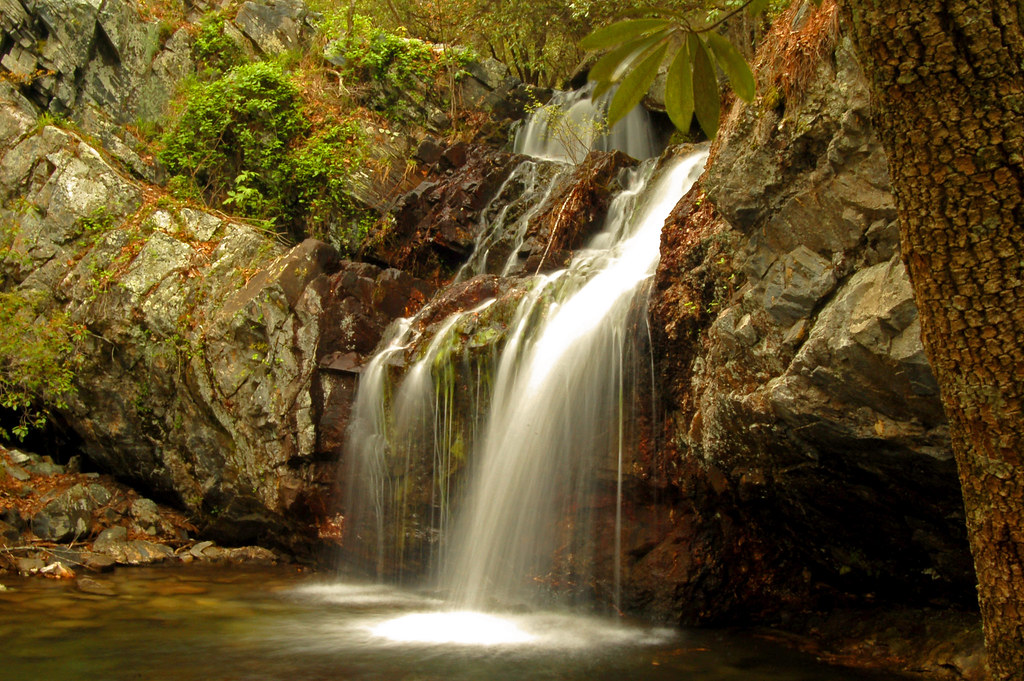
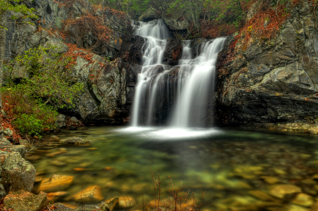
High Falls

Sun Peeks Through
High Falls
Upper High Falls
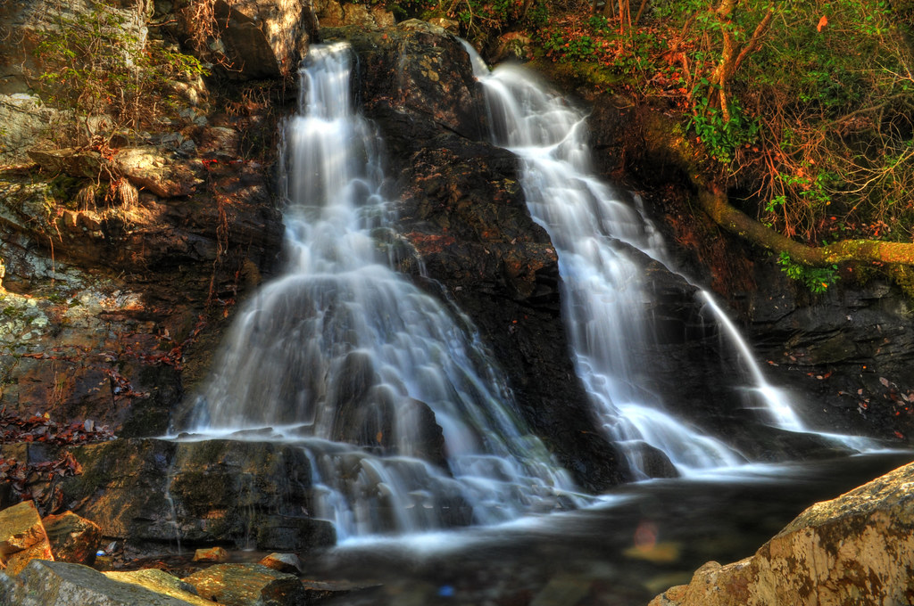
The Twins of High Falls

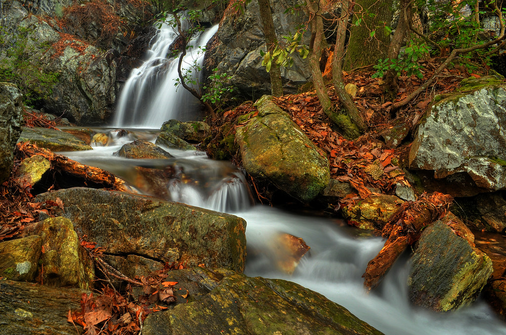
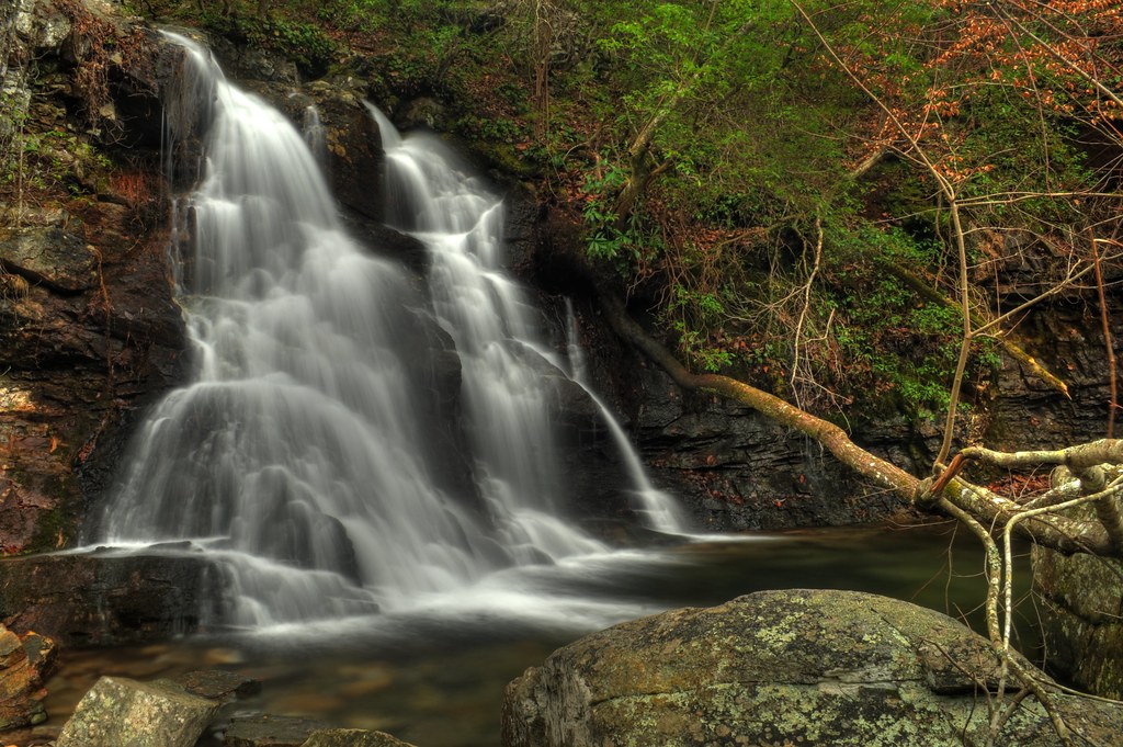
High Falls Cascades
High falls
High Falls
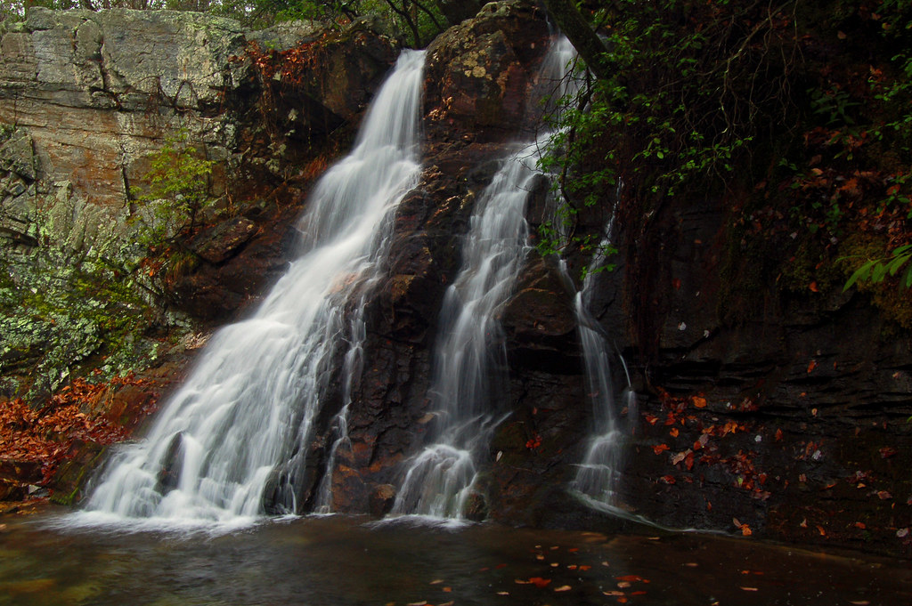
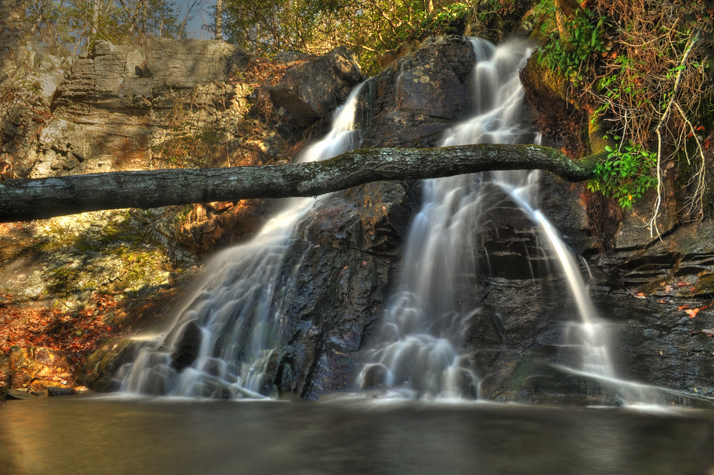
Another Perspective

High Falls Cascades

Boiling Springs Singing
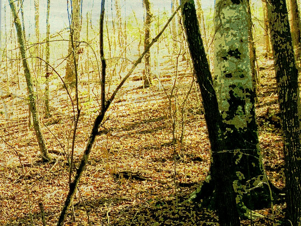
jackson's spring.6.1

jackson's spring.14/return of the native.2

walking through the pages of a history book
jackson's spring.11

jackson's spring.3

jackson's spring.1
Topographic Map of Clay County, AL, USA
Find elevation by address:

Places in Clay County, AL, USA:
Places near Clay County, AL, USA:
Ashland
AL-9, Ashland, AL, USA
Co Rd 5, Ashland, AL, USA
5312 Co Rd 31
Ashland, AL, USA
436 Newbury's Rd
18 Bolden Dr, Talladega, AL, USA
Clairmont Springs Rd, Talladega, AL, USA
Turpentine Ln, Talladega, AL, USA
Liberty Rd, Goodwater, AL, USA
AL-, Delta, AL, USA
Mount Cheaha Restaurant
Goldville Rd, Daviston, AL, USA
Woolfolk Rd, Munford, AL, USA
Waldo
Cheaha Mountain
Shady Hollow Ln, Waldo, AL, USA
Cheaha Rd, Munford, AL, USA
153 Salt Creek Rd
Stockdale Rd, Munford, AL, USA
Recent Searches:
- Elevation of Pykes Down, Ivybridge PL21 0BY, UK
- Elevation of Jalan Senandin, Lutong, Miri, Sarawak, Malaysia
- Elevation of Bilohirs'k
- Elevation of 30 Oak Lawn Dr, Barkhamsted, CT, USA
- Elevation of Luther Road, Luther Rd, Auburn, CA, USA
- Elevation of Unnamed Road, Respublika Severnaya Osetiya — Alaniya, Russia
- Elevation of Verkhny Fiagdon, North Ossetia–Alania Republic, Russia
- Elevation of F. Viola Hiway, San Rafael, Bulacan, Philippines
- Elevation of Herbage Dr, Gulfport, MS, USA
- Elevation of Lilac Cir, Haldimand, ON N3W 2G9, Canada