Elevation of Clarks Ln, Redding, CA, USA
Location: United States > California > Shasta County > Redding >
Longitude: -122.42096
Latitude: 40.6153227
Elevation: 235m / 771feet
Barometric Pressure: 99KPa
Elevation Map:
Satellite Map:
Related Photos:

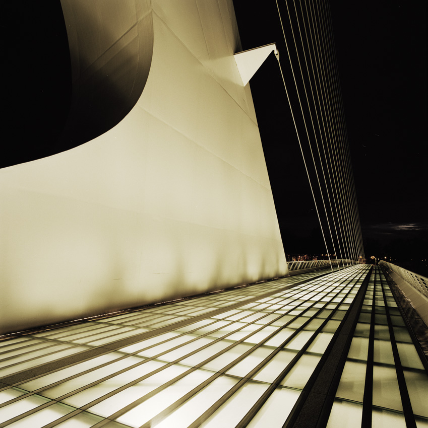
Sundial Bridge at Turtle Bay (II)
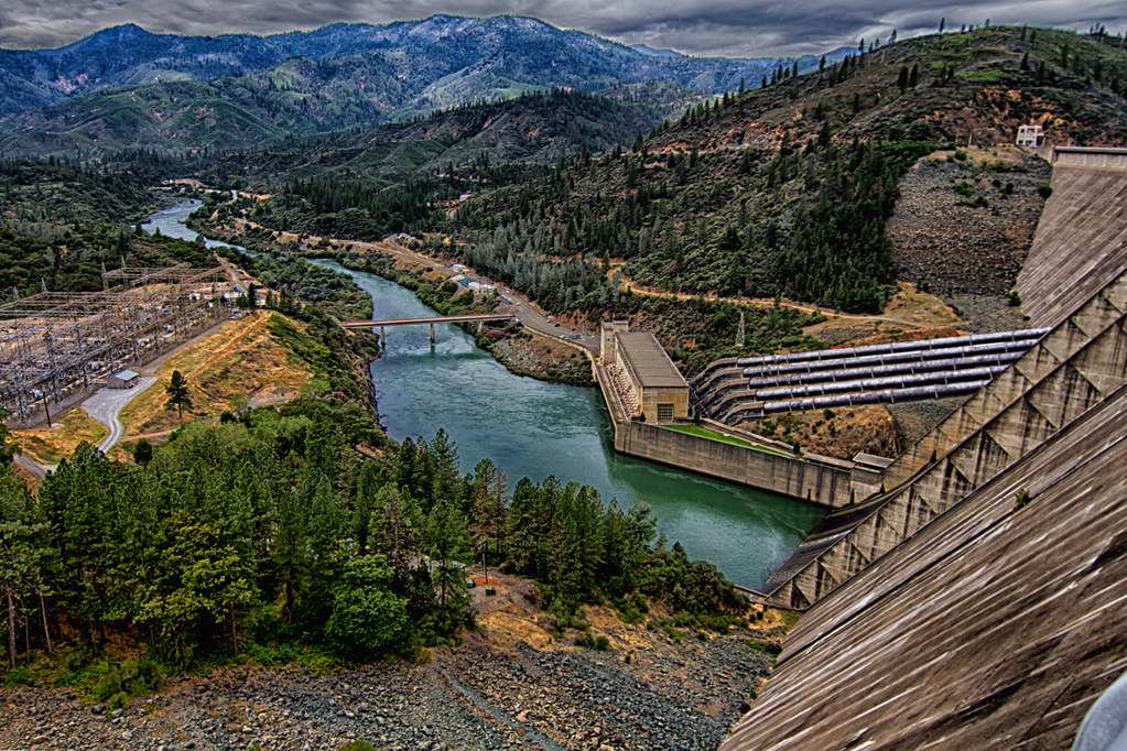
Shasta Dam Overlook 1533

Mt. Shasta
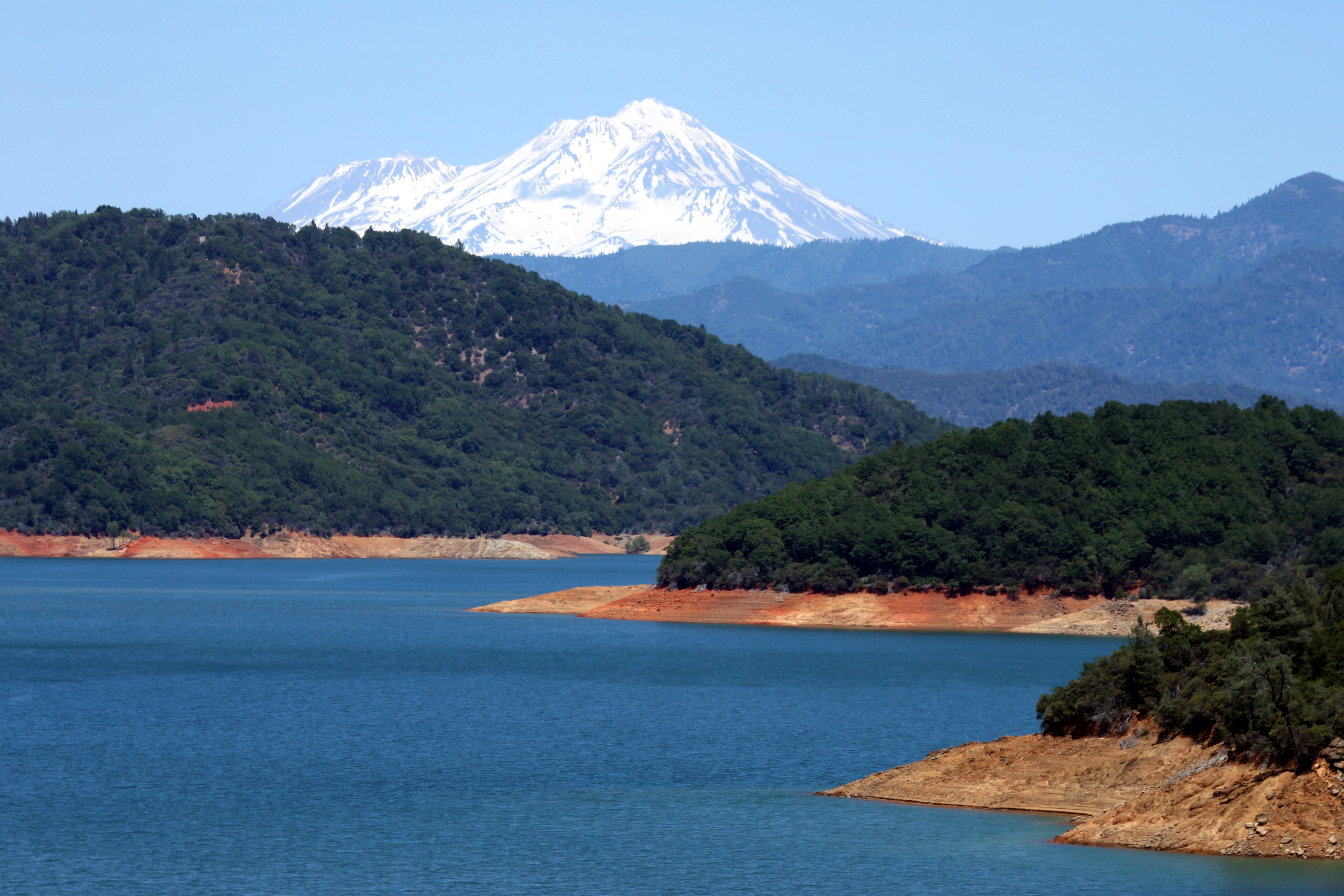
Mount Shasta
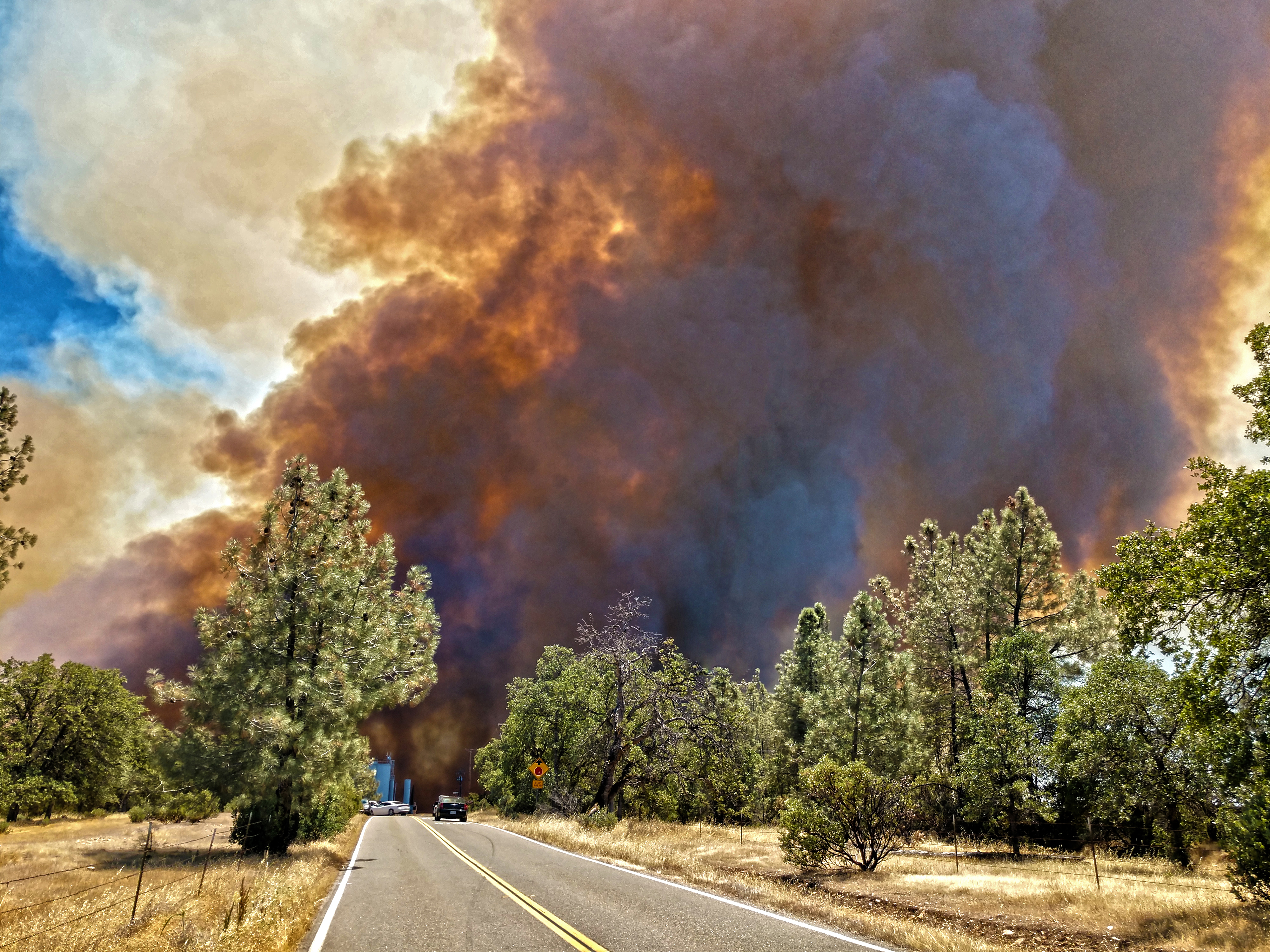
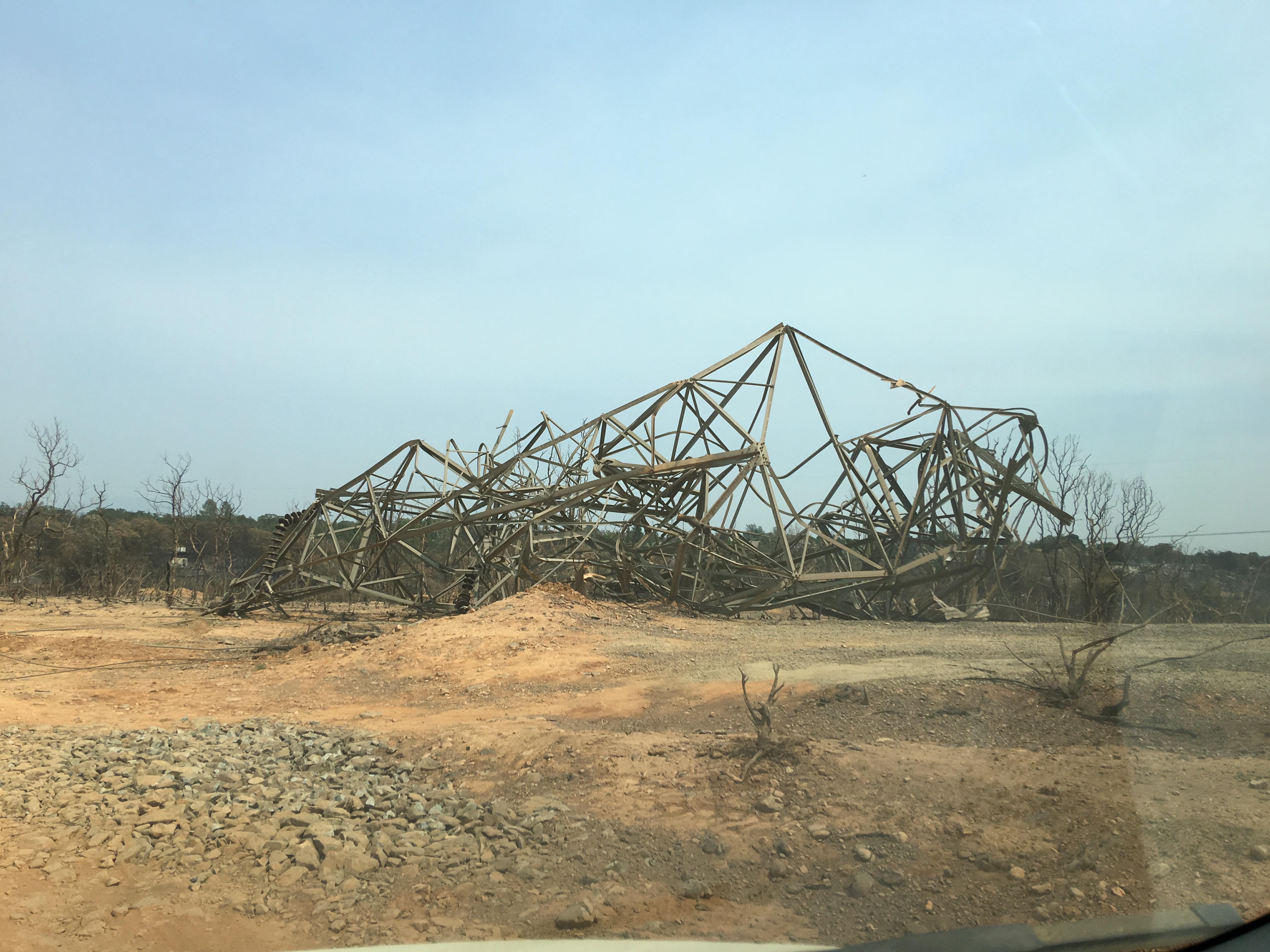
Smoke!

Interstate 5 Southbound Shasta Valley Freeway approaching 1/4 = 0.25 mile to Exit 681A - Twin View Blvd. followed by Exit 680 - State Highway Junction Route CA-299 Lake Blvd. 3/4 = 0.75 miles with this overhead sign located at

CHP - (135) Redding area N976HP

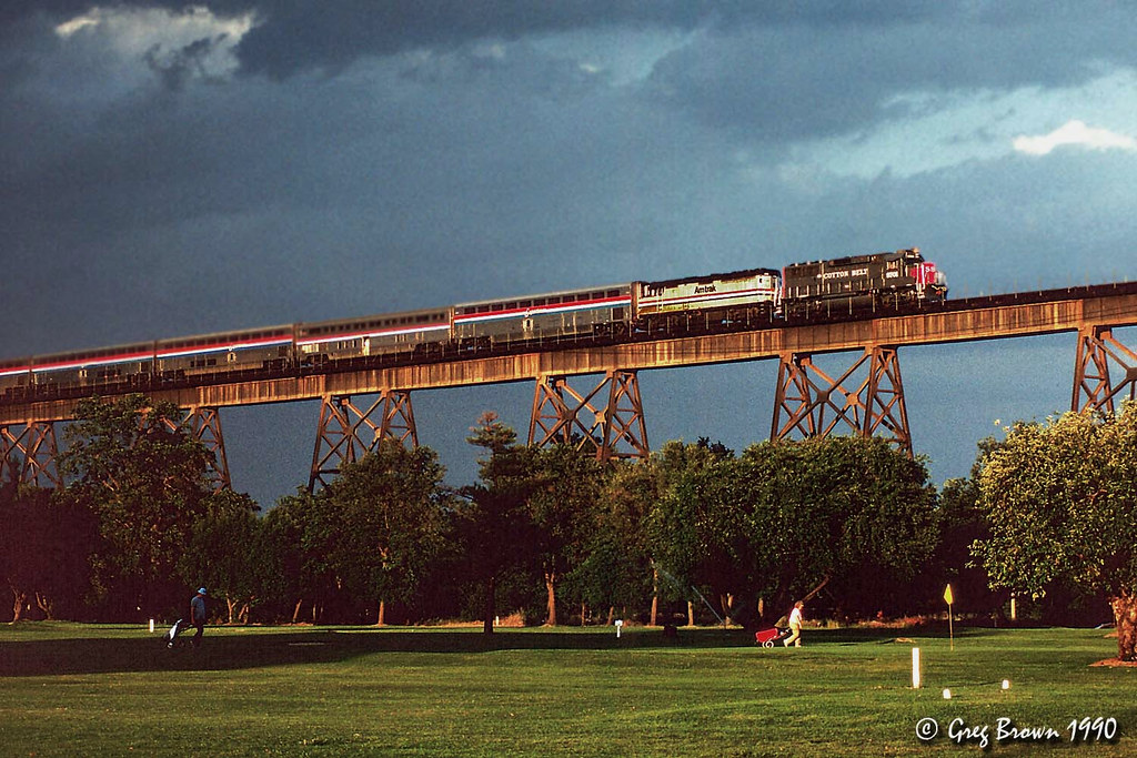
Calatrava's Sundial Bridge, Redding, California

Changed hotels. Here's the view from the room - sunset on the Sacramento River. #roadtrip #redding #california #hotel #view #Sacramento #river #instagold #instagood #instagram #igdaily #igaddicts #ipodtouch #ipod

Sundial Bridge Lightning, The Sundial Bridge, Redding, CA

Sundial Bridge at Turtle Bay
Learning to Glow
Sundial Bridge, Redding

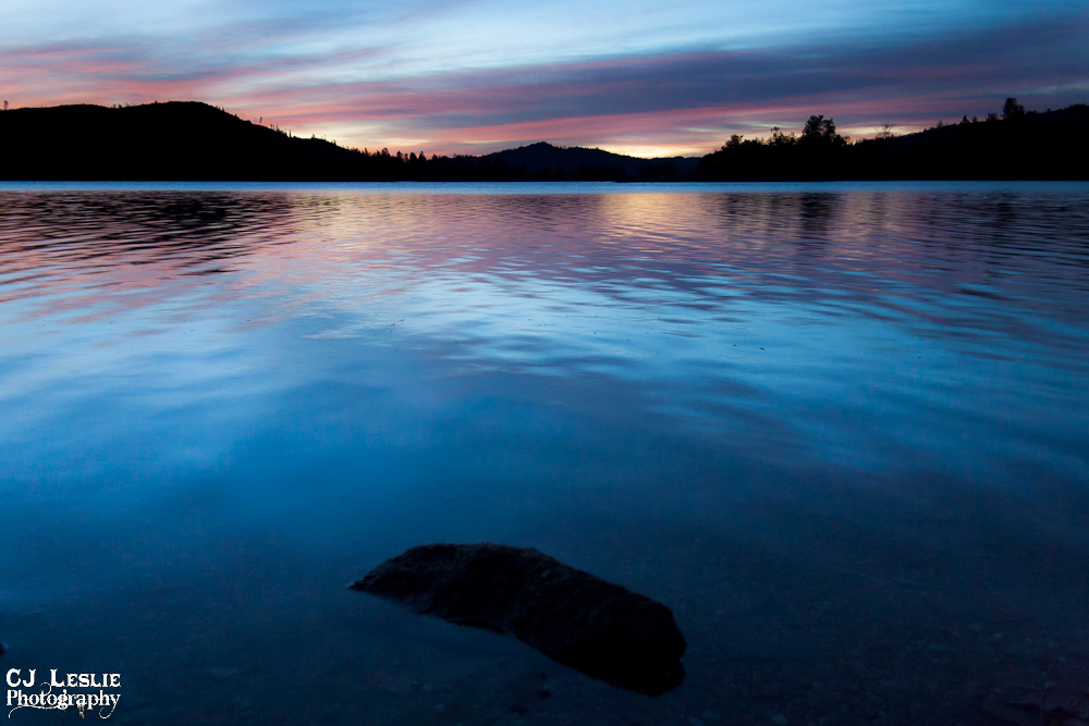
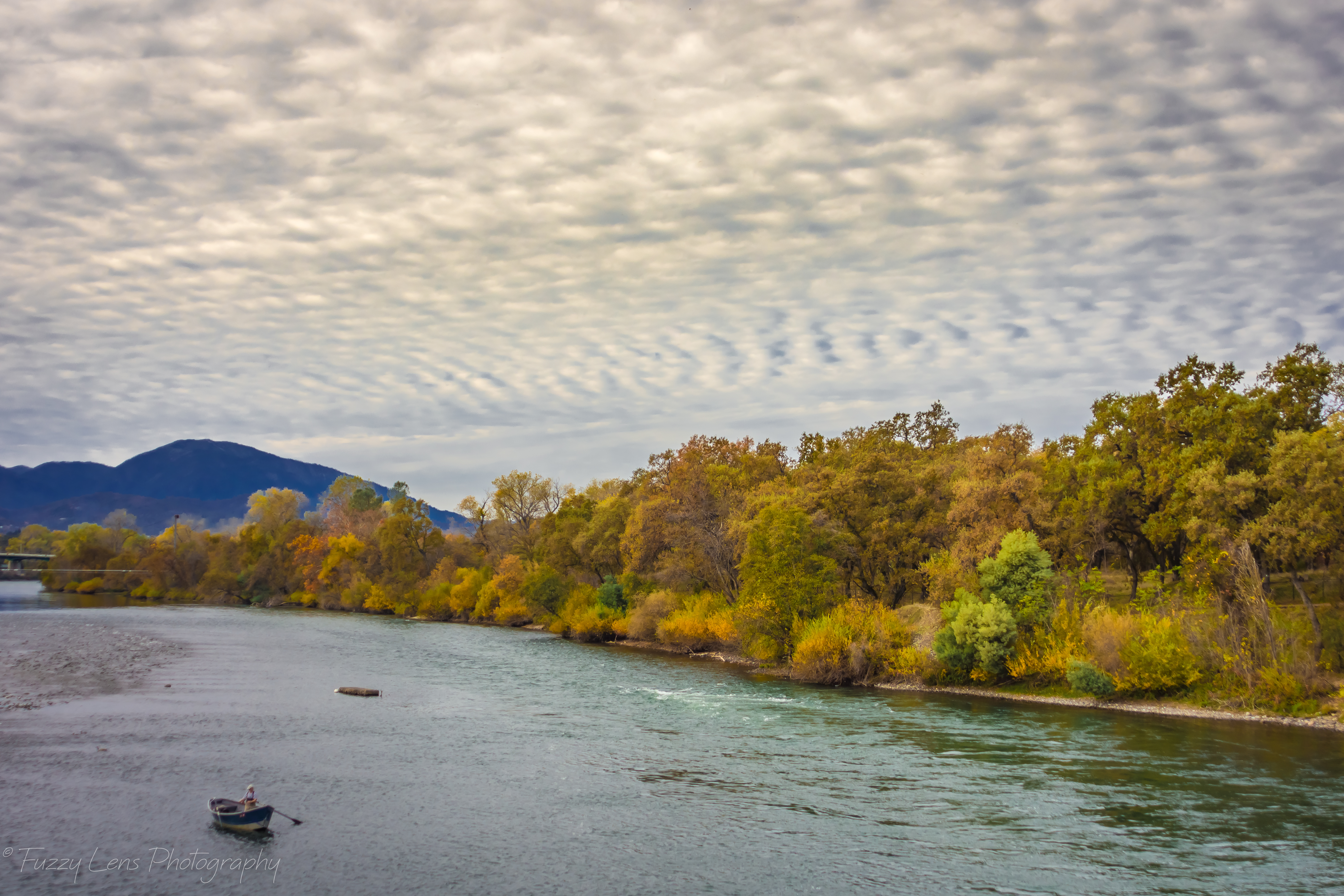
Sunset over Sacramento River

Self Portrait - 3

View just now from the hotel room. #sunset #colorful #clouds #sky #evening #winter #redding #california #roadtrip #Creation #beauty #ipod #ipodtouch #igdaily #igaddicts #instagold #instagood #instagram
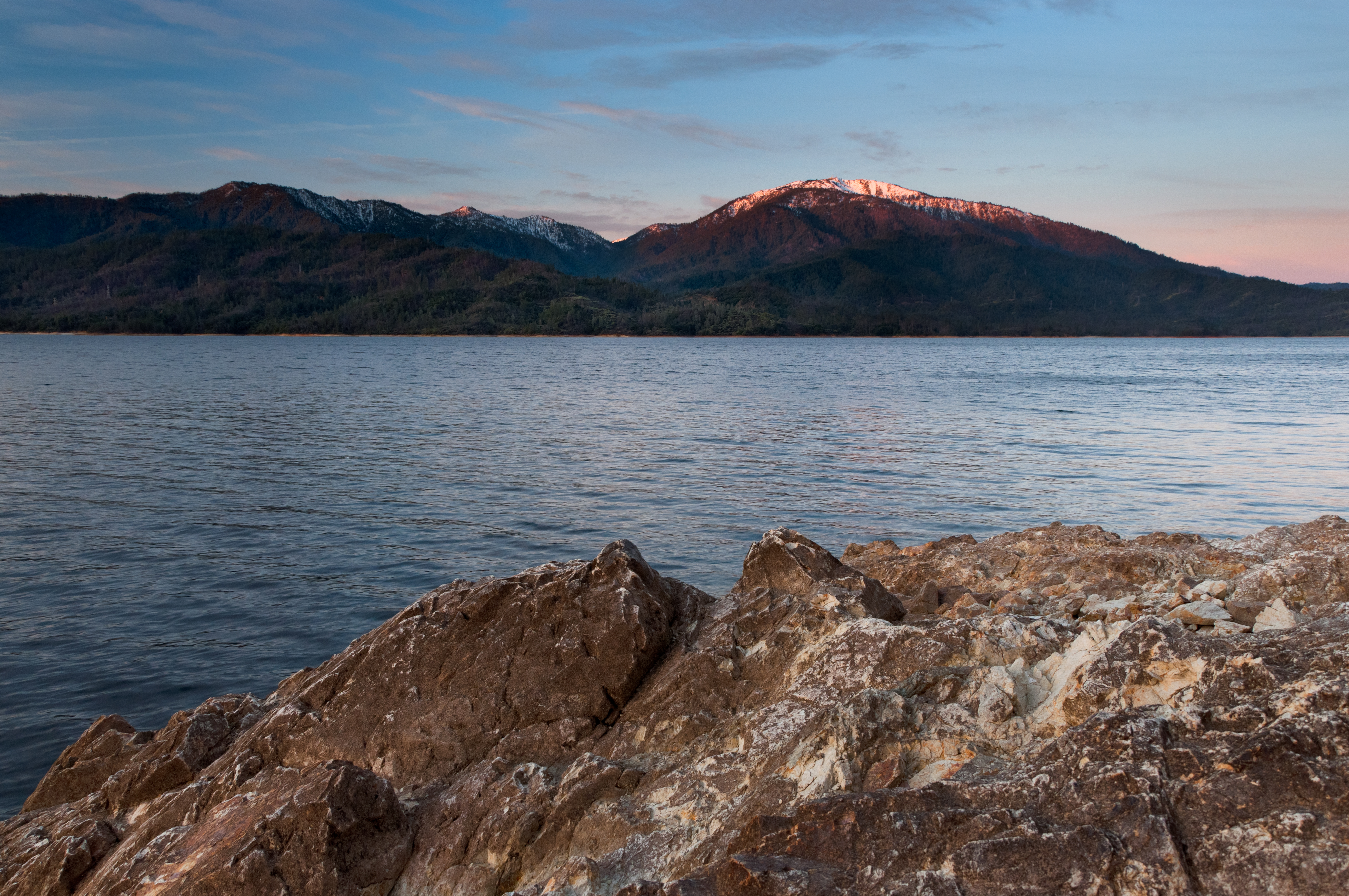
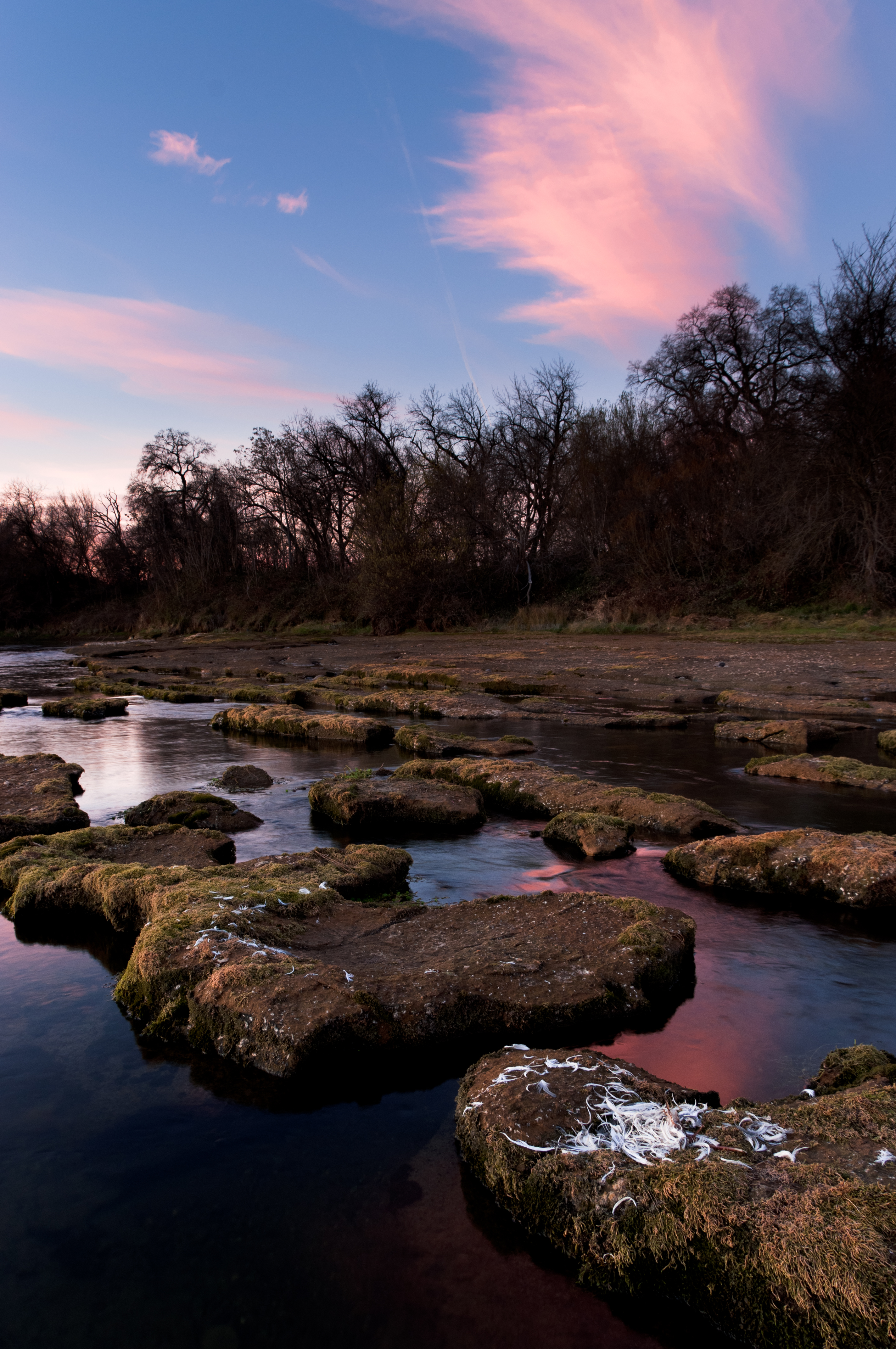
Morning View

Self Portrait - 2

Redding, CASD59MX-UP 9900

Roberts_68 Sundial Bridge

UP9921-9900-9924
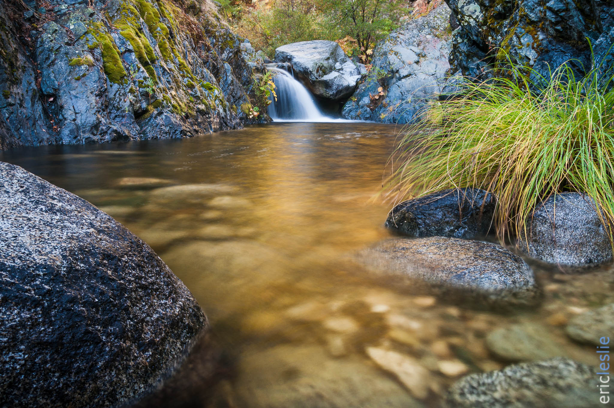
Heart of Gold (Brand Creek)
Brand Creek (Dropped)
Almost there
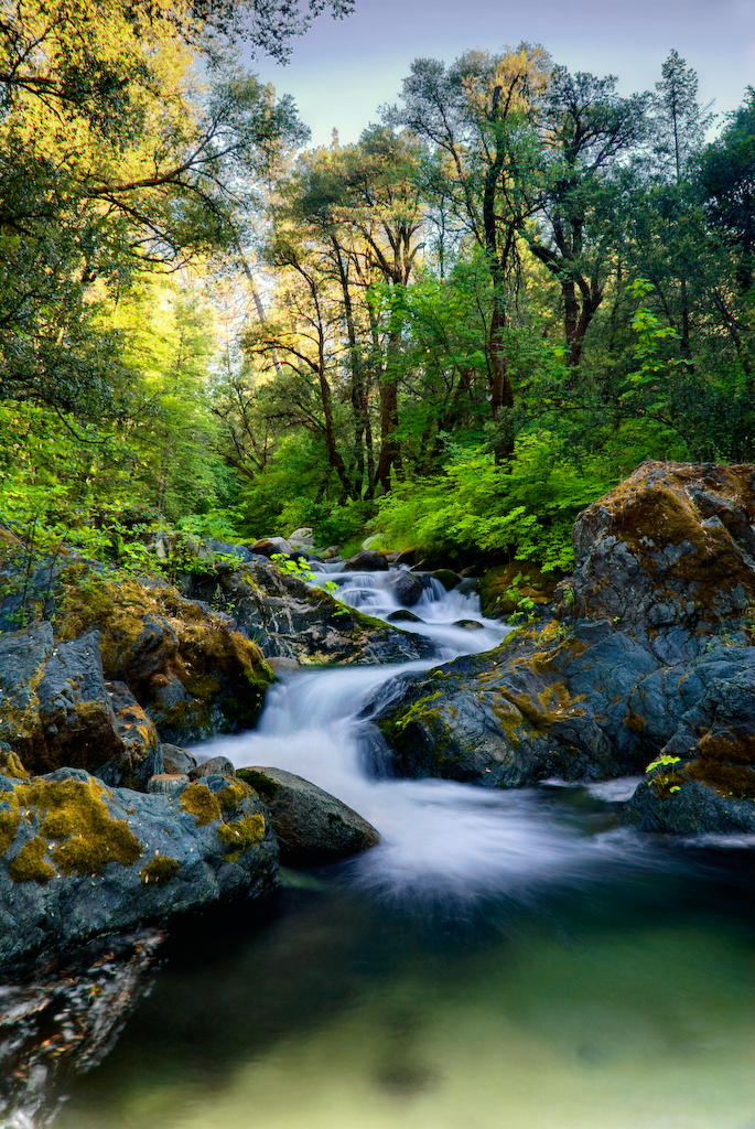
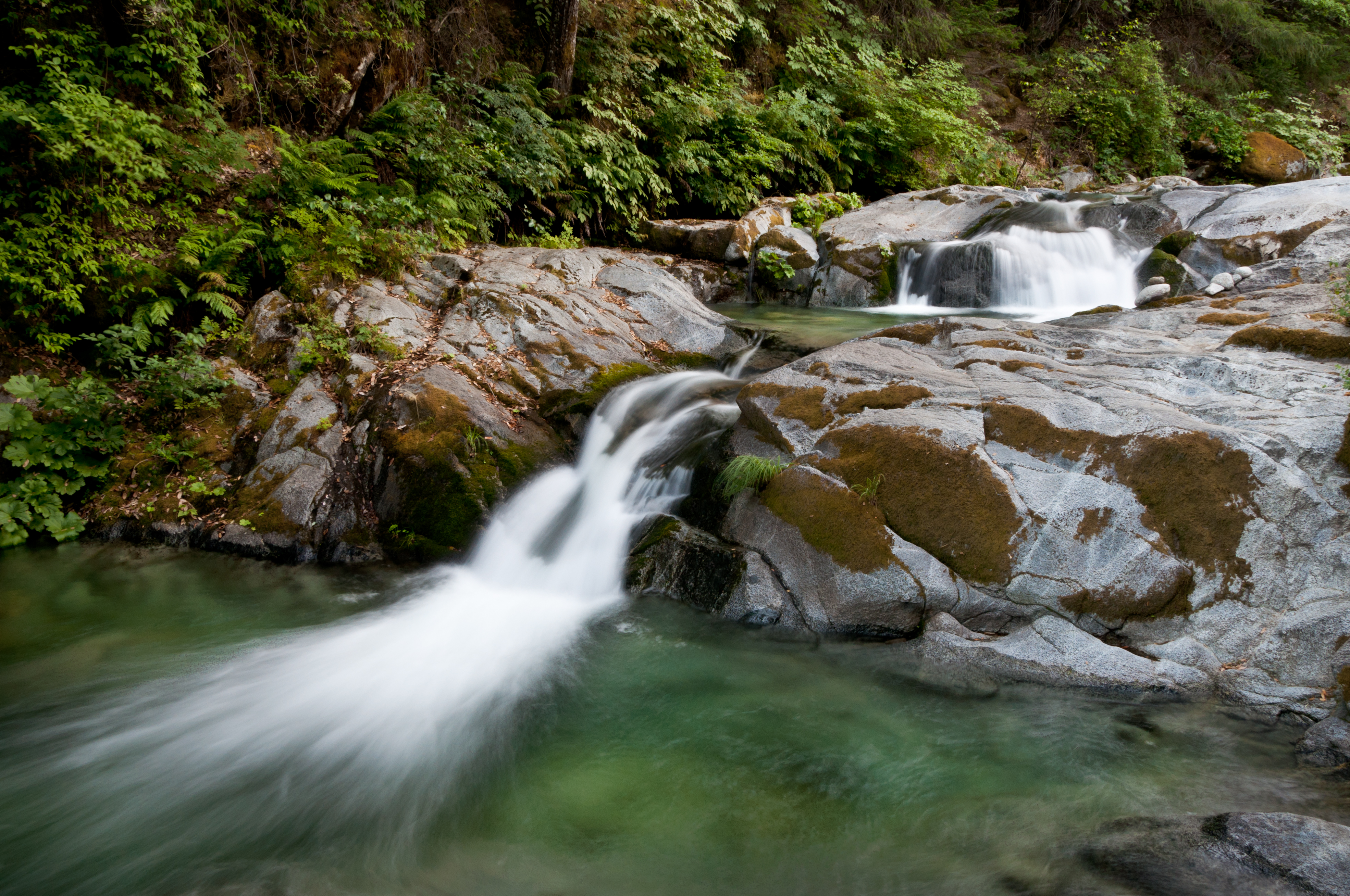
Brandy Creek 2
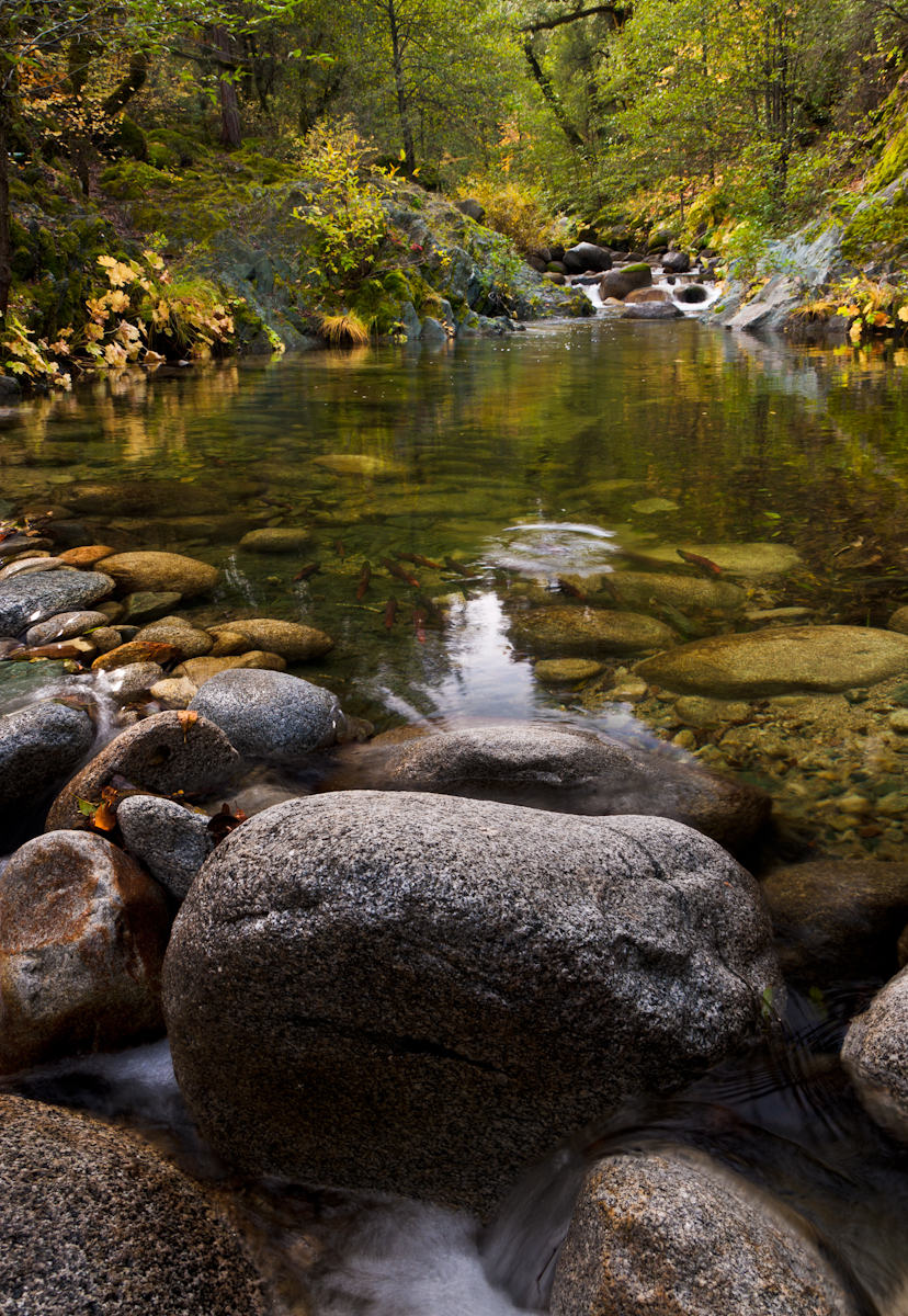
Salmon in Brandy Creek
John iPhone Oct 25 2018 2018-08-17 023
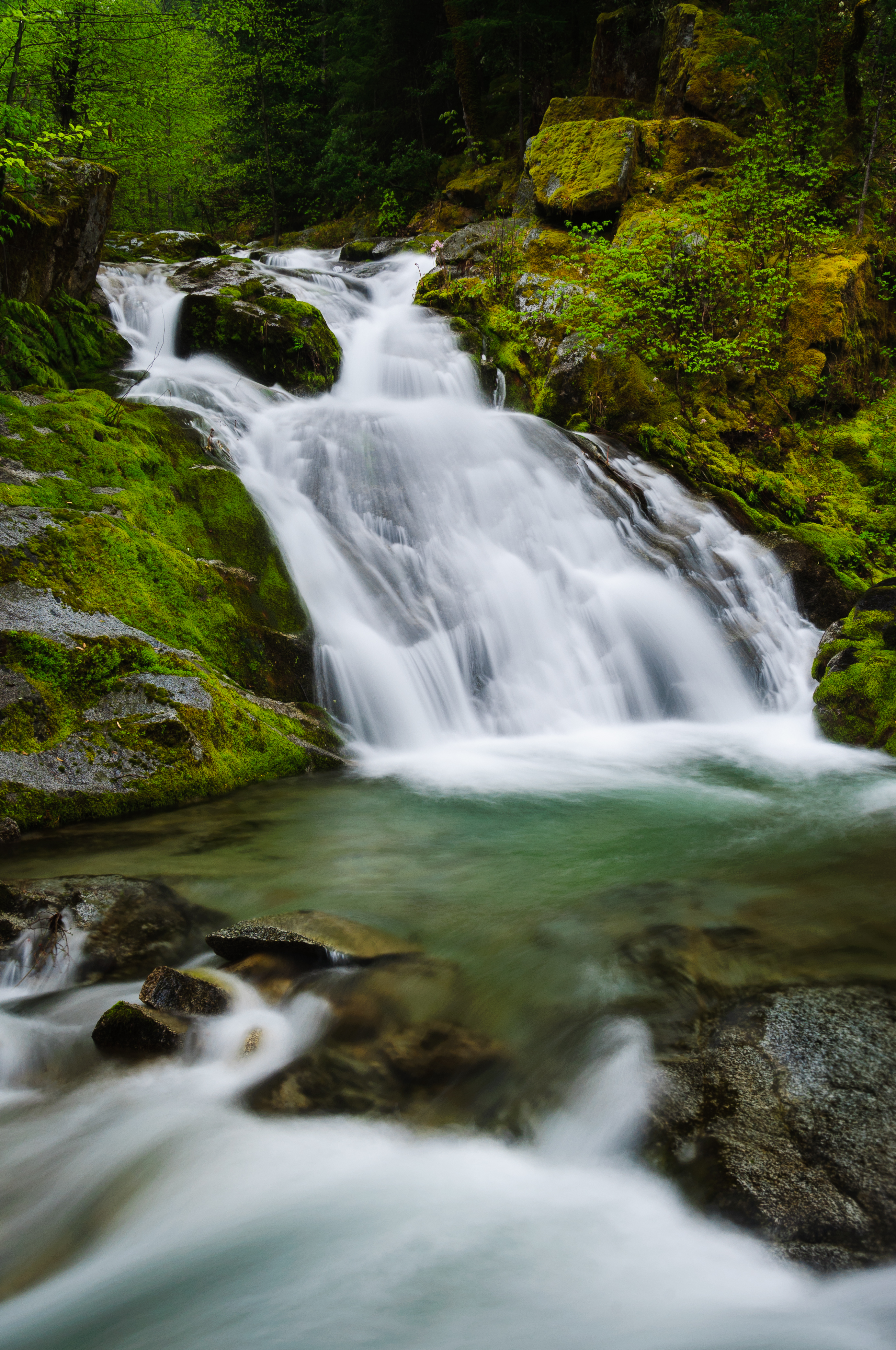
Rich Gulch Falls (Bloomed for You)
Early Bird (and fish)
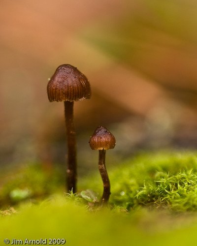
Tiny Brown Mushroom's

Been a Long Time Coming
Sunrise at Simpson [03.29.13]
God is an Artist - Brandy Creek
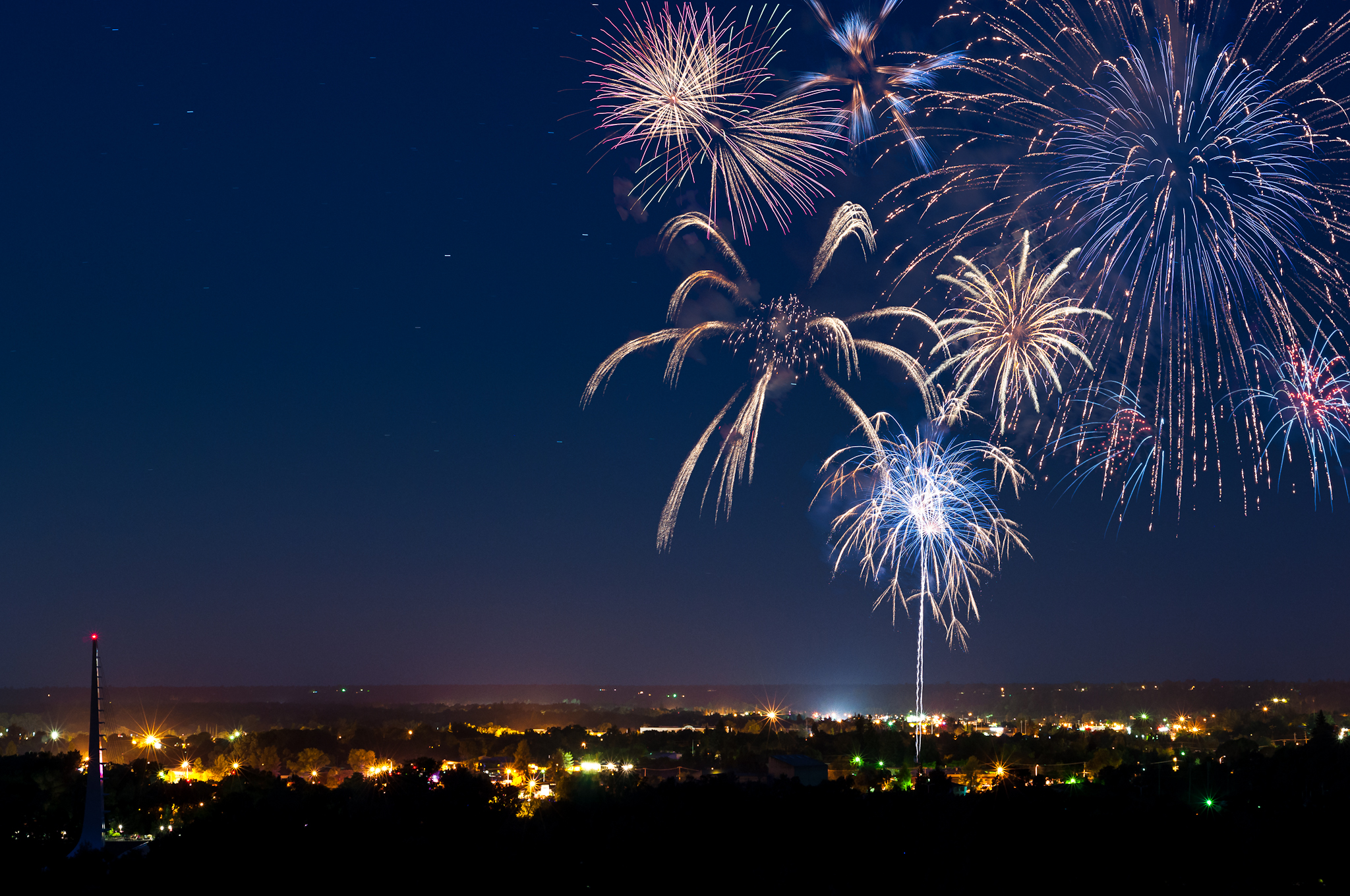
Redding 4th of July Fireworks
171124 Black Friday gold-001J

Reap The Benefits (p)

A Path of Exploration and Learning - Turtle Bay Exploration Park - Redding, Shasta County, California

Twin Panels (p)
Beautiful Ending
Golden Ticket (Brandy Creek Falls)
Topographic Map of Clarks Ln, Redding, CA, USA
Find elevation by address:

Places near Clarks Ln, Redding, CA, USA:
17301 Pittim Dr
3372 Old Lantern Dr
Keswick Dam Road
Lake Keswick Estates
Cape Cod Drive
Buckeye
3760 Lakey Ln
287 Ironwood Ln
16990 Pine Oaks Dr
11690 Pine Oaks Dr
12125 Lake Blvd
17684 Petty Ln
4356 Caterpillar Rd
4480 Alder St
4544 Hickory Trail
4708 Underwood Dr
Lake Blvd, Redding, CA, USA
Mountain Lakes Industrial Park
4650 Caterpillar Rd
12538 Lake Blvd
Recent Searches:
- Elevation of Leyte Industrial Development Estate, Isabel, Leyte, Philippines
- Elevation of W Granada St, Tampa, FL, USA
- Elevation of Pykes Down, Ivybridge PL21 0BY, UK
- Elevation of Jalan Senandin, Lutong, Miri, Sarawak, Malaysia
- Elevation of Bilohirs'k
- Elevation of 30 Oak Lawn Dr, Barkhamsted, CT, USA
- Elevation of Luther Road, Luther Rd, Auburn, CA, USA
- Elevation of Unnamed Road, Respublika Severnaya Osetiya — Alaniya, Russia
- Elevation of Verkhny Fiagdon, North Ossetia–Alania Republic, Russia
- Elevation of F. Viola Hiway, San Rafael, Bulacan, Philippines