Elevation of Clarendon, AR, USA
Location: United States > Arkansas > Monroe County >
Longitude: -91.313737
Latitude: 34.6931517
Elevation: 54m / 177feet
Barometric Pressure: 101KPa
Elevation Map:
Satellite Map:
Related Photos:
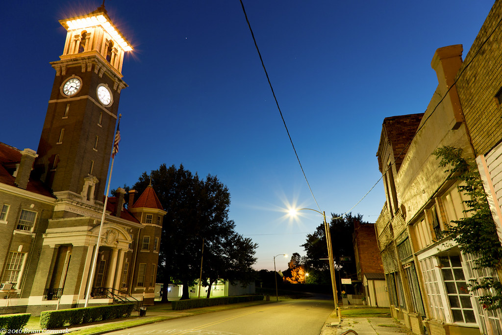
Clarendon

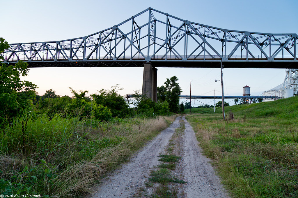
Old Clarendon bridge
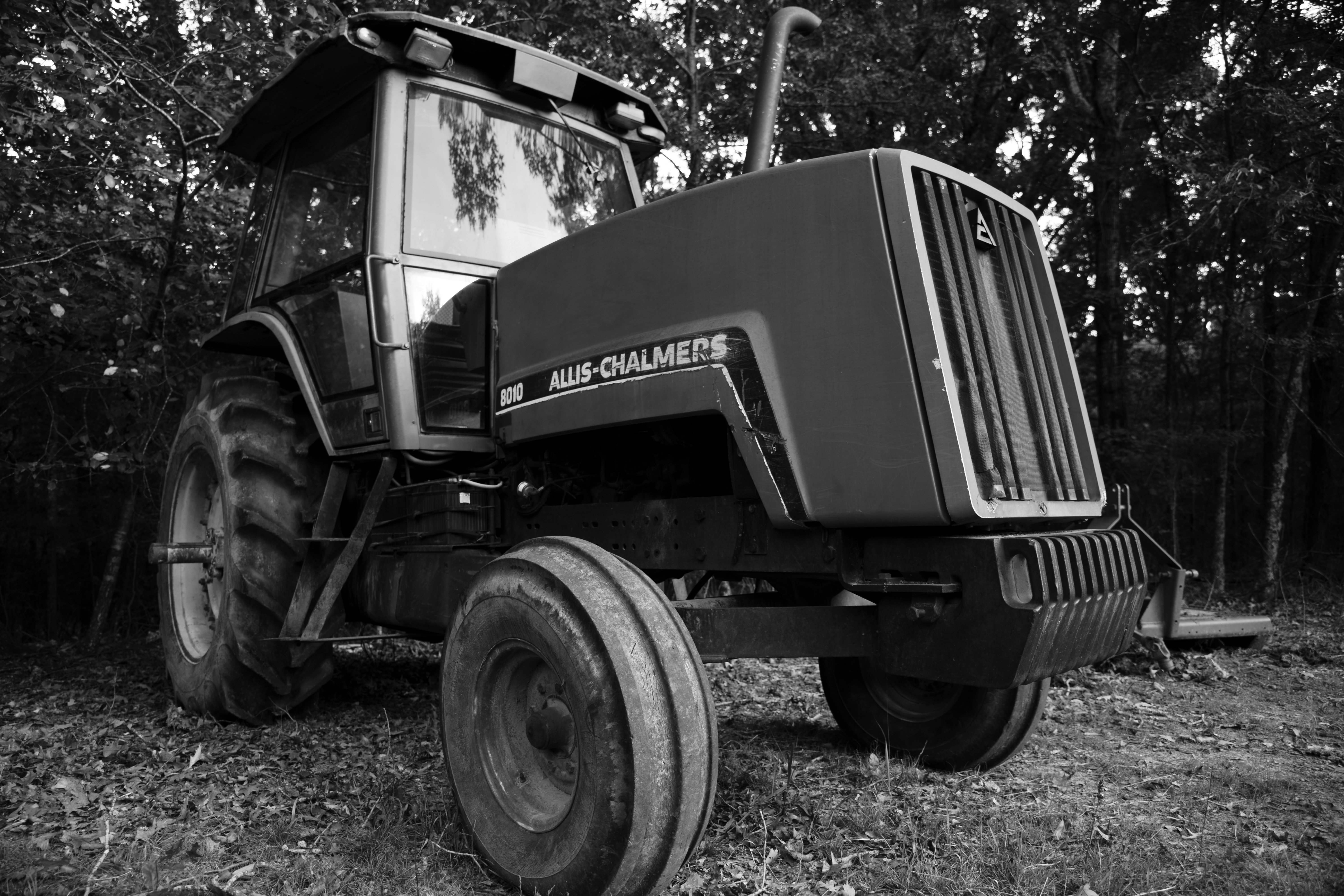
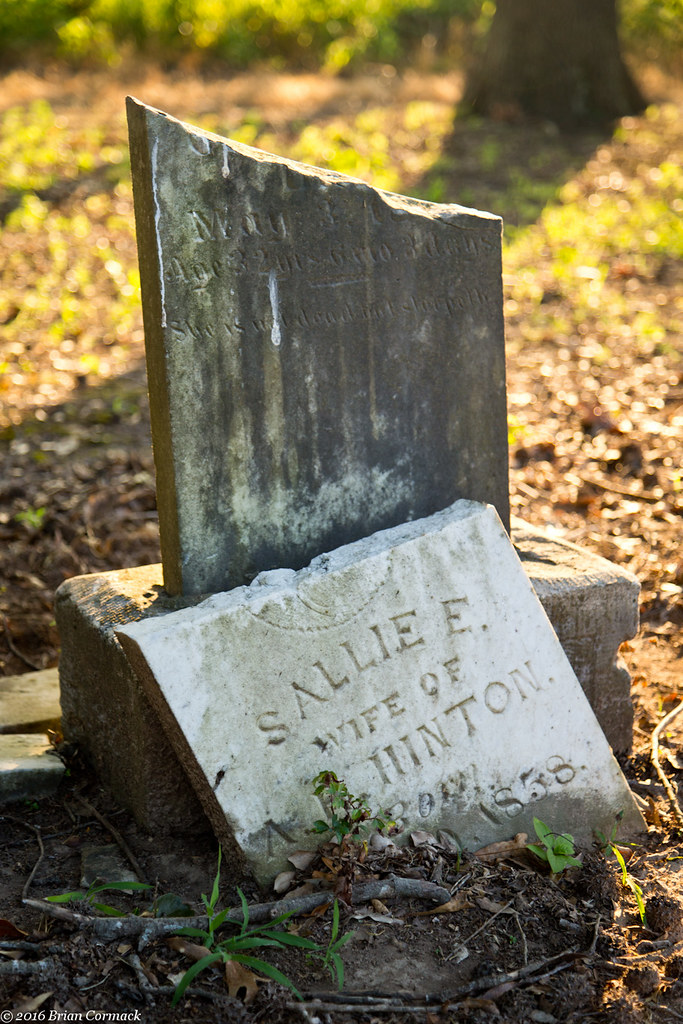
DSC05733 Final BW
Cumberland Presbyterian Church

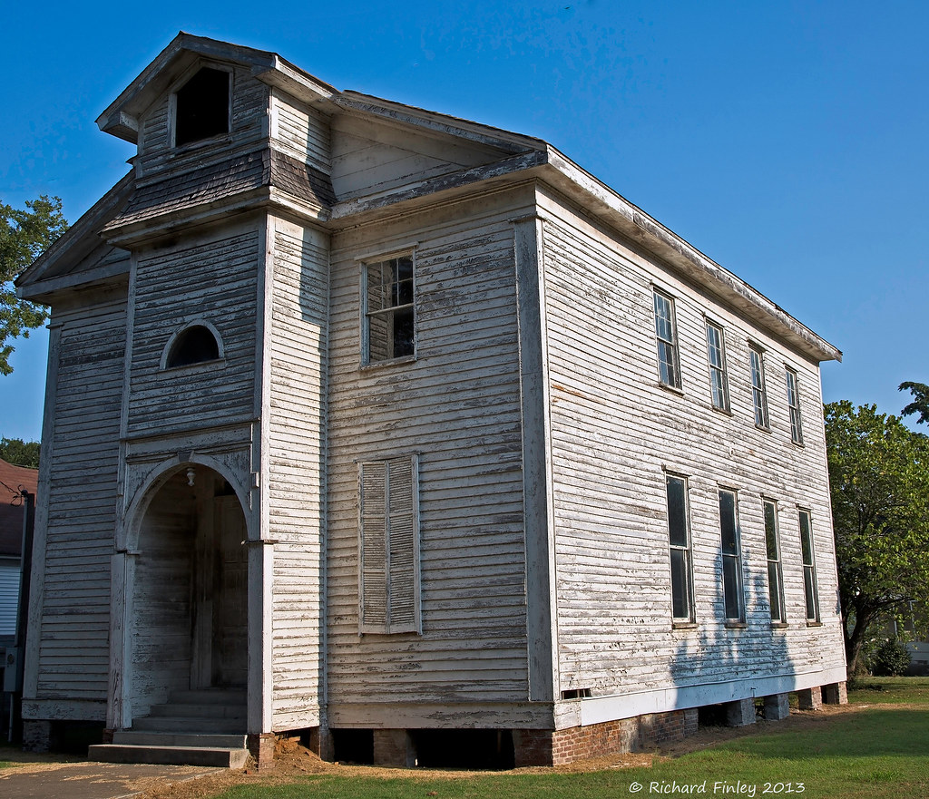
Clarendon Methodist-Episcopal Church South- Clarendon AR (2)
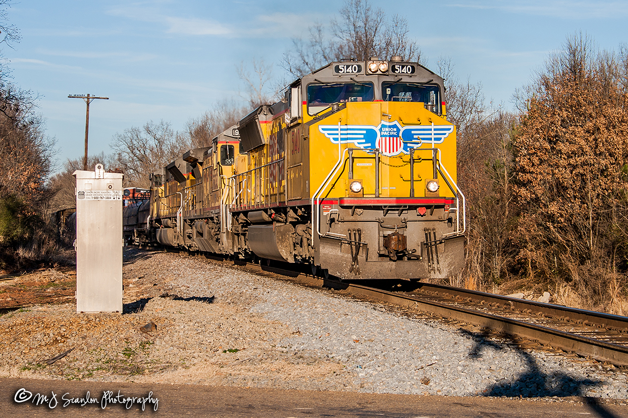
UP 5140 | EMD SD70M | UP Jonesboro Subdivision
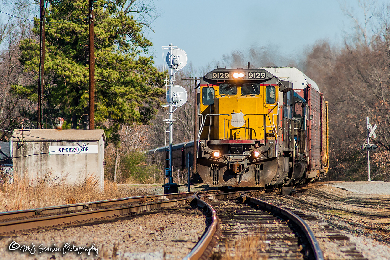
UP 9129 | GE C40-8 | UP Jonesboro Subdivision

Clarendon AR: Depot foundations
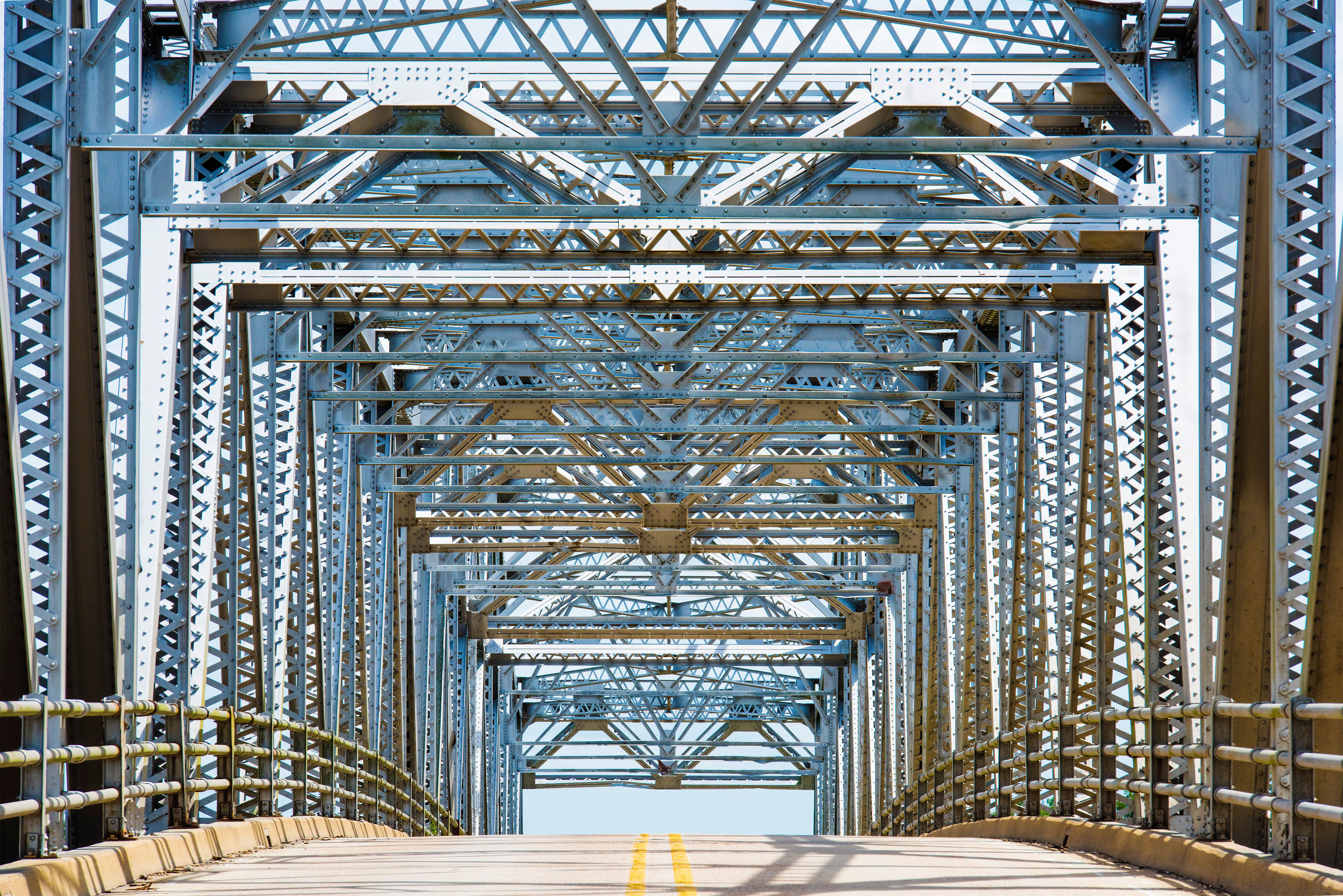
Old Clarendon Bridge

We're almost in Memphis, Tennessee! With @dale_highberger across USA!
Shady Grove
Shady Grove
No Red Hot Chili Peppers Here
Shady Grove

Armed Robbery
DSC05782 Final
DSC05751 Final
DSC05729 Final

DSC05773 Final
DSC05765 Final

DSC05764 Final
DSC05733 Final
Topographic Map of Clarendon, AR, USA
Find elevation by address:

Places near Clarendon, AR, USA:
Roe
W Williams St, Roe, AR, USA
Roc Roe Township
State Hwy, Roe, AR, USA
Duncan Township
32 AR-33, Roe, AR, USA
Dr Herd E Stone St, Holly Grove, AR, USA
Holly Grove
River Rd, Casscoe, AR, USA
Casscoe
AR-33, Casscoe, AR, USA
140 Cooks Lake Rd
Chesser Road
Brinkley Township
Monroe County
Wilcox Acres Rd, Crocketts Bluff, AR, USA
Scott Rd, Holly Grove, AR, USA
Hindman Township
N Main St, Brinkley, AR, USA
Brinkley
Recent Searches:
- Elevation of W Granada St, Tampa, FL, USA
- Elevation of Pykes Down, Ivybridge PL21 0BY, UK
- Elevation of Jalan Senandin, Lutong, Miri, Sarawak, Malaysia
- Elevation of Bilohirs'k
- Elevation of 30 Oak Lawn Dr, Barkhamsted, CT, USA
- Elevation of Luther Road, Luther Rd, Auburn, CA, USA
- Elevation of Unnamed Road, Respublika Severnaya Osetiya — Alaniya, Russia
- Elevation of Verkhny Fiagdon, North Ossetia–Alania Republic, Russia
- Elevation of F. Viola Hiway, San Rafael, Bulacan, Philippines
- Elevation of Herbage Dr, Gulfport, MS, USA