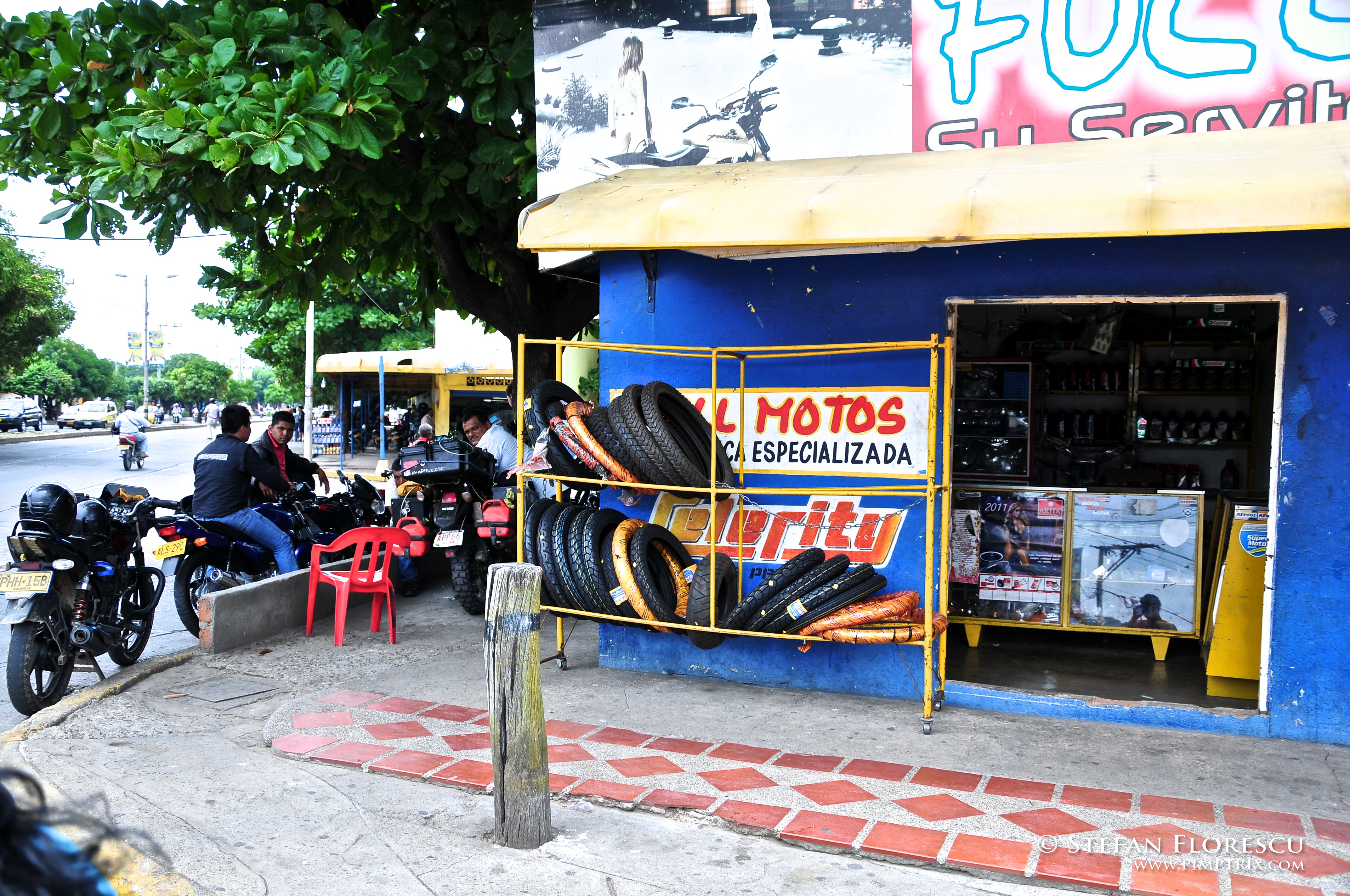
Elevation of Cl. 3 Sur #, San Juan Del Cesar, La Guajira, Colombia
Location: Colombia > La Guajira >
Longitude: -72.999348
Latitude: 10.7691377
Elevation: 209m / 686feet
Barometric Pressure: 99KPa
Elevation Map:
Satellite Map:
Related Photos:
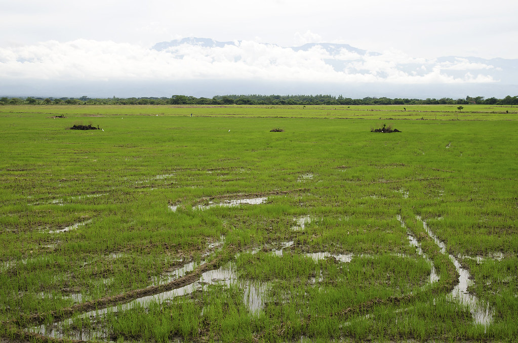
Campi di riso
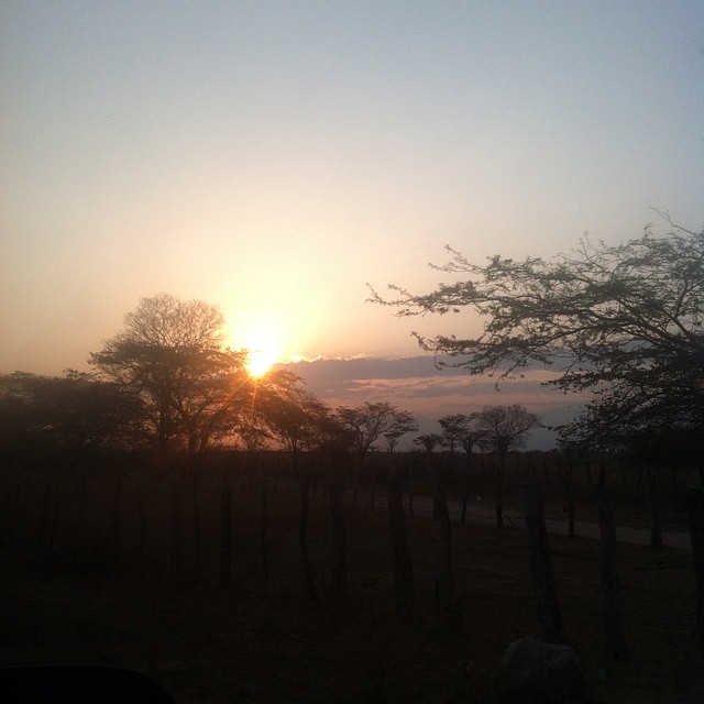
Amanecer Guajiro

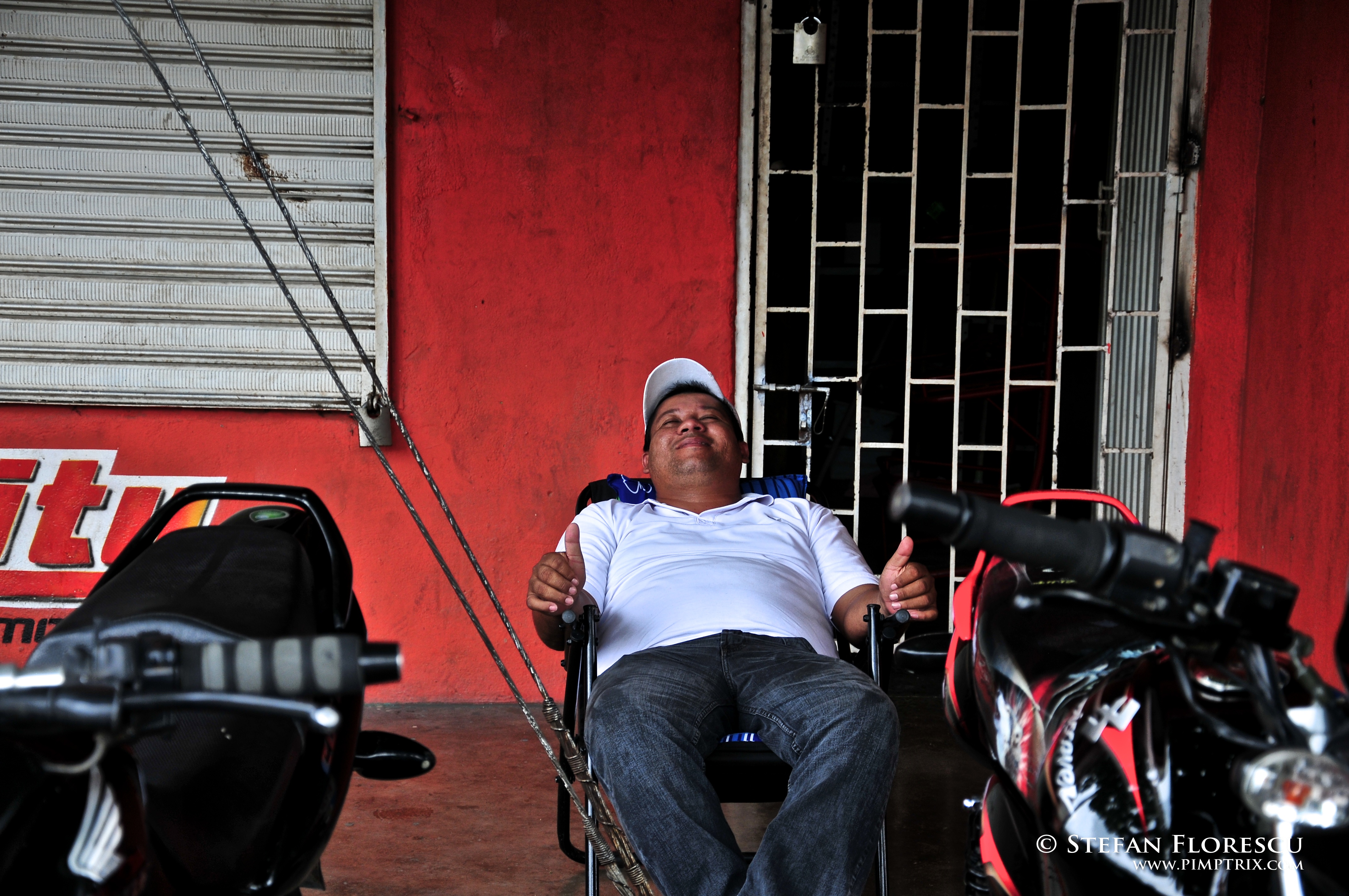
KLR 650 Trip Colombia 148
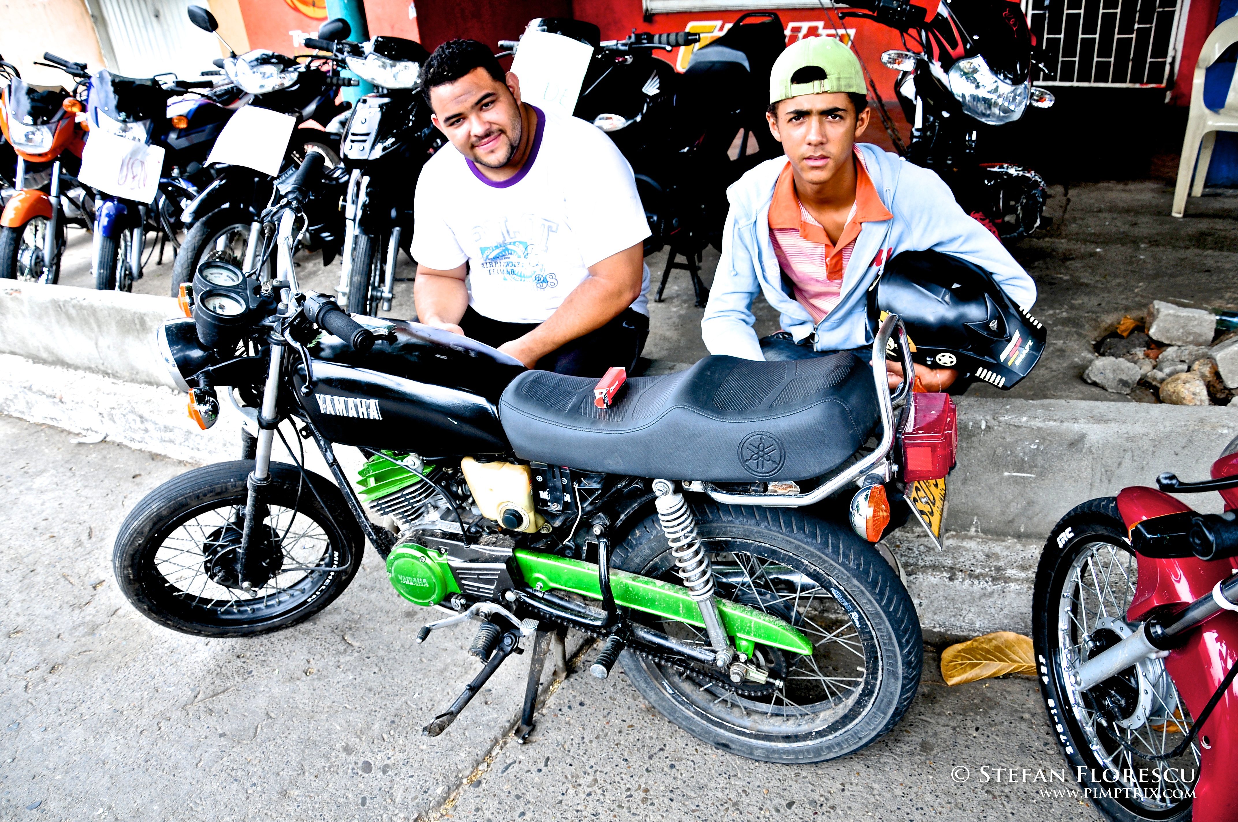
KLR 650 Trip Colombia 147
KLR 650 Trip Colombia 145
KLR 650 Trip Colombia 144
Topographic Map of Cl. 3 Sur #, San Juan Del Cesar, La Guajira, Colombia
Find elevation by address:

Places near Cl. 3 Sur #, San Juan Del Cesar, La Guajira, Colombia:
Recent Searches:
- Elevation of Zimmer Trail, Pennsylvania, USA
- Elevation of 87 Kilmartin Ave, Bristol, CT, USA
- Elevation of Honghe National Nature Reserve, QP95+PJP, Tongjiang, Heilongjiang, Jiamusi, Heilongjiang, China
- Elevation of Hercules Dr, Colorado Springs, CO, USA
- Elevation of Szlak pieszy czarny, Poland
- Elevation of Griffing Blvd, Biscayne Park, FL, USA
- Elevation of Kreuzburger Weg 13, Düsseldorf, Germany
- Elevation of Gateway Blvd SE, Canton, OH, USA
- Elevation of East W.T. Harris Boulevard, E W.T. Harris Blvd, Charlotte, NC, USA
- Elevation of West Sugar Creek, Charlotte, NC, USA