Elevation of Ciudad del Maíz, San Luis Potosi, Mexico
Location: Mexico > San Luis Potosi > Ciudad Del Maíz >
Longitude: -99.603517
Latitude: 22.4020541
Elevation: 1249m / 4098feet
Barometric Pressure: 87KPa
Elevation Map:
Satellite Map:
Related Photos:
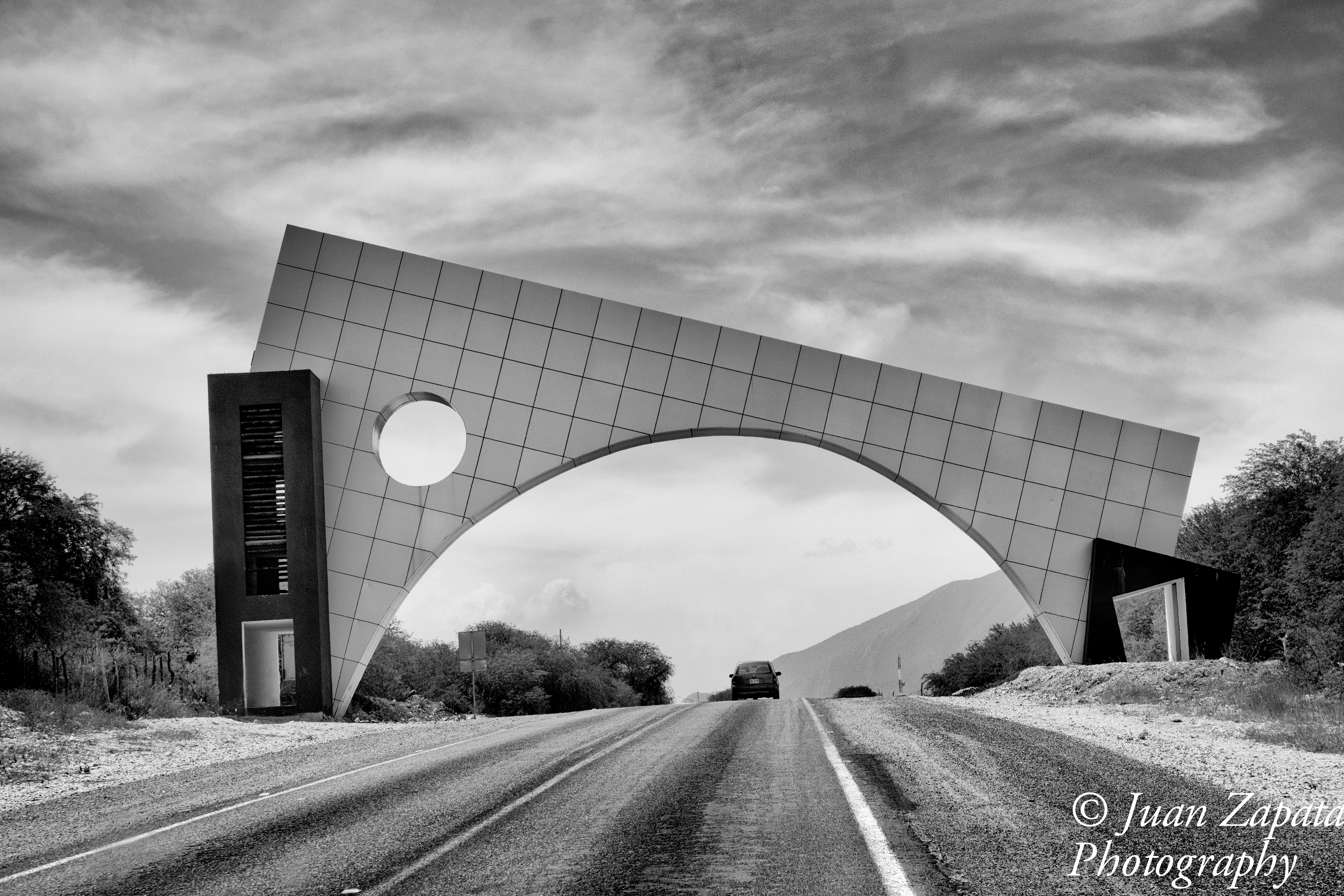
Ciudad del Maíz
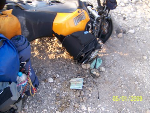
Dropping the bike and picking it up

Dropping the bike and picking it up
Topographic Map of Ciudad del Maíz, San Luis Potosi, Mexico
Find elevation by address:

Places in Ciudad del Maíz, San Luis Potosi, Mexico:
Places near Ciudad del Maíz, San Luis Potosi, Mexico:
Ciudad Del Maíz
Gral. Ignacio Zaragoza 43, La Villa, Cd del Maíz, S.L.P., Mexico
La Villa
Cascadas De Minas Viejas
El Salto
Agua Buena
Tamasopo
Cascadas De Micos
Arquitectos, Tecnologico, Cd Valles, S.L.P., Mexico
Tecnologico
Ciudad Valles
Ciudad Valles
Tamul
Pino Suárez 41, Bellavista, Cd Valles, S.L.P., Mexico
Bellavista
El Limon
Los Pericos
María Teresa Rangel, Los Pericos, Tamuín, S.L.P., Mexico
Tamuín
Media Luna
Recent Searches:
- Elevation of N, Mt Pleasant, UT, USA
- Elevation of 6 Rue Jules Ferry, Beausoleil, France
- Elevation of Sattva Horizon, 4JC6+G9P, Vinayak Nagar, Kattigenahalli, Bengaluru, Karnataka, India
- Elevation of Great Brook Sports, Gold Star Hwy, Groton, CT, USA
- Elevation of 10 Mountain Laurels Dr, Nashua, NH, USA
- Elevation of 16 Gilboa Ln, Nashua, NH, USA
- Elevation of Laurel Rd, Townsend, TN, USA
- Elevation of 3 Nestling Wood Dr, Long Valley, NJ, USA
- Elevation of Ilungu, Tanzania
- Elevation of Yellow Springs Road, Yellow Springs Rd, Chester Springs, PA, USA