Elevation of Circle Dr, Mexico Beach, FL, USA
Location: United States > Florida > Bay County > Mexico Beach >
Longitude: -85.429195
Latitude: 29.9511461
Elevation: 3m / 10feet
Barometric Pressure: 101KPa
Elevation Map:
Satellite Map:
Related Photos:

Celebration of Independence
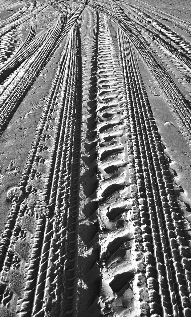
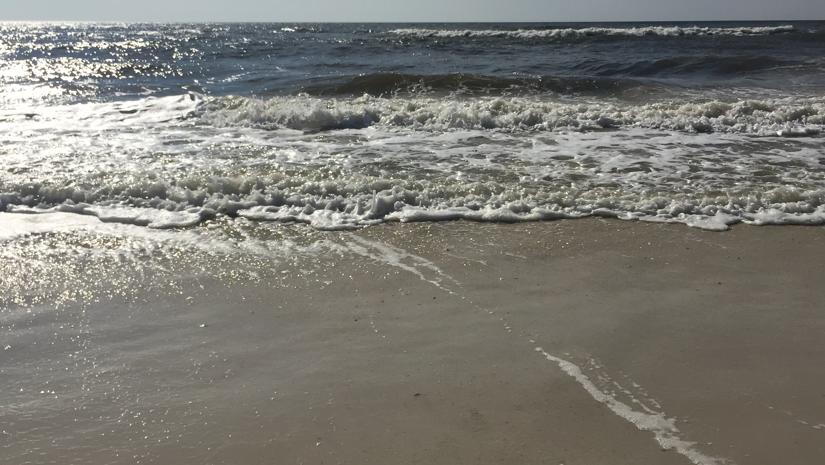
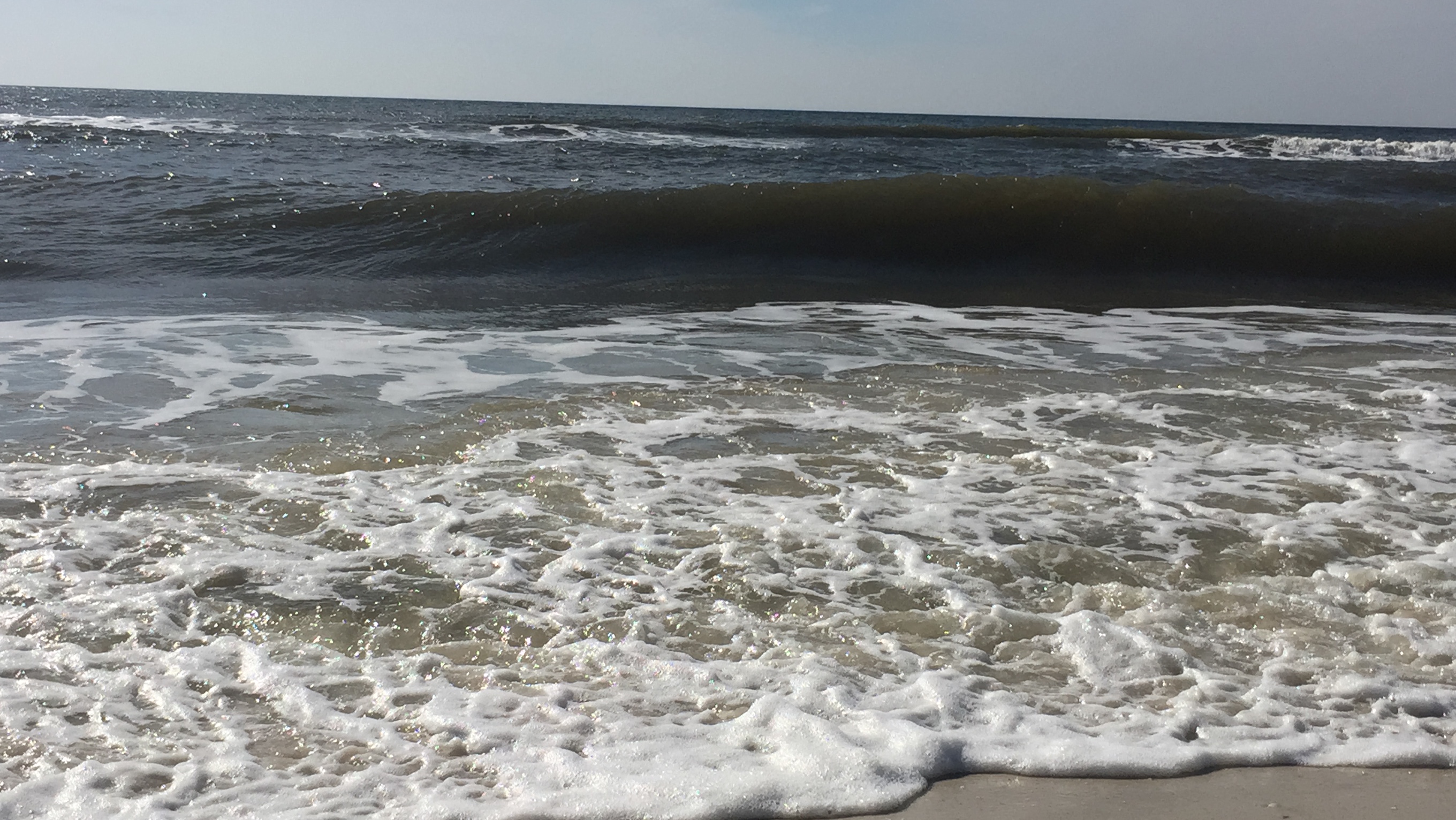
sand patterns

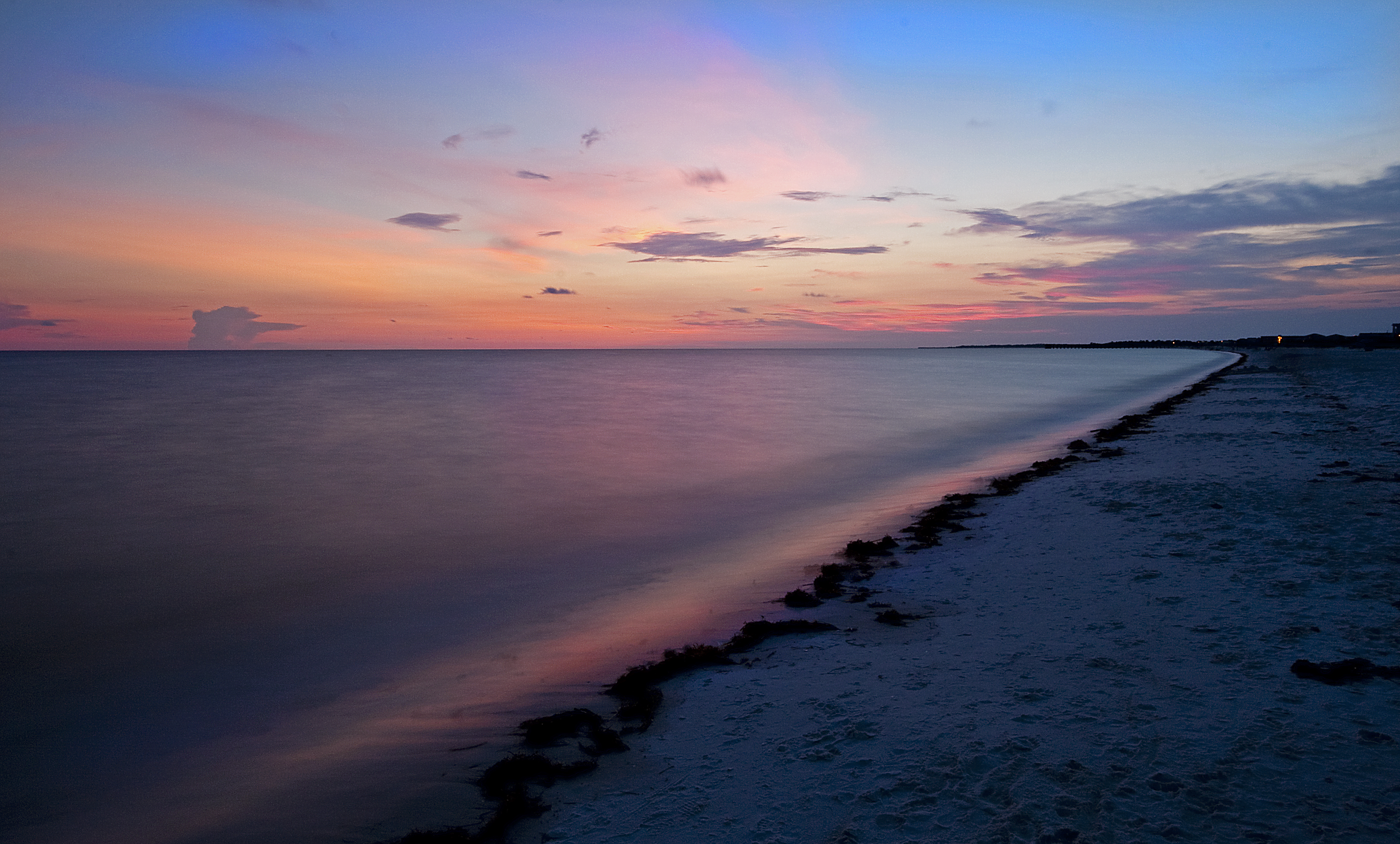
Long Exposure 2

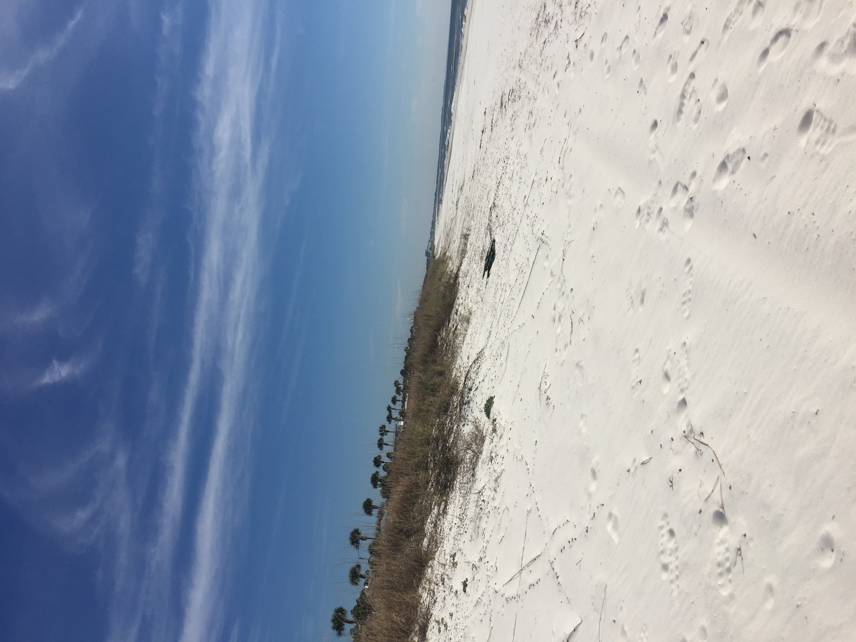
The Backcountry
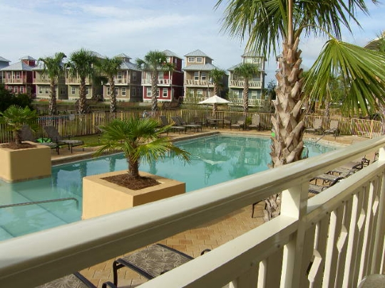
View from Waterside Village 107, Pristine Properties Mexico Beach, FL

sand patterns

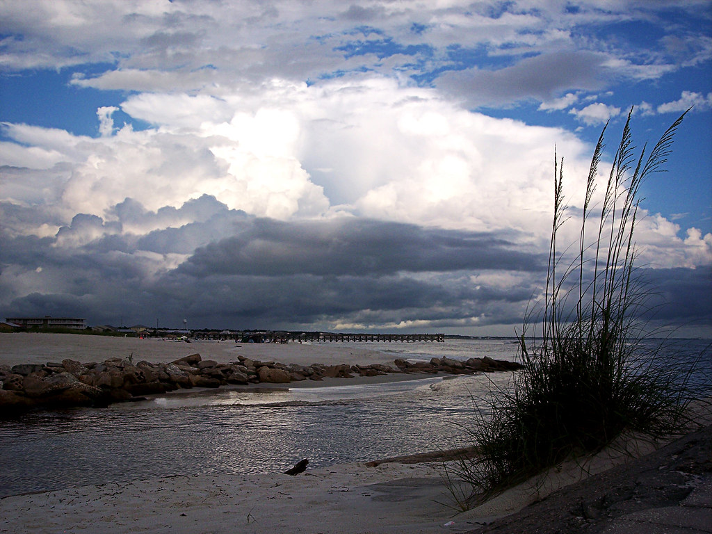
Watered Sky
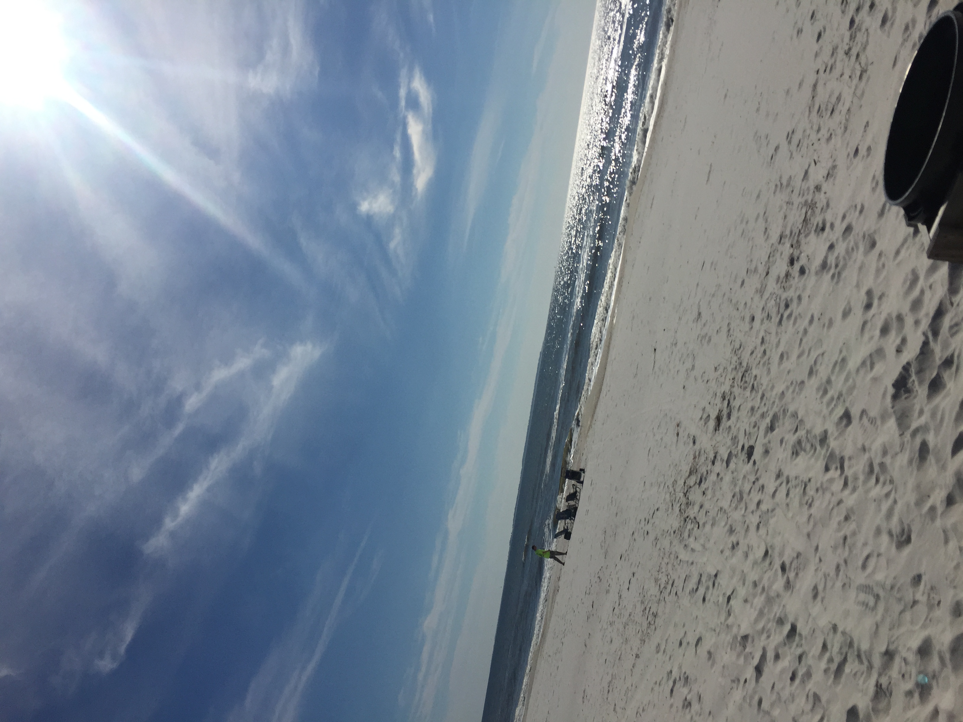
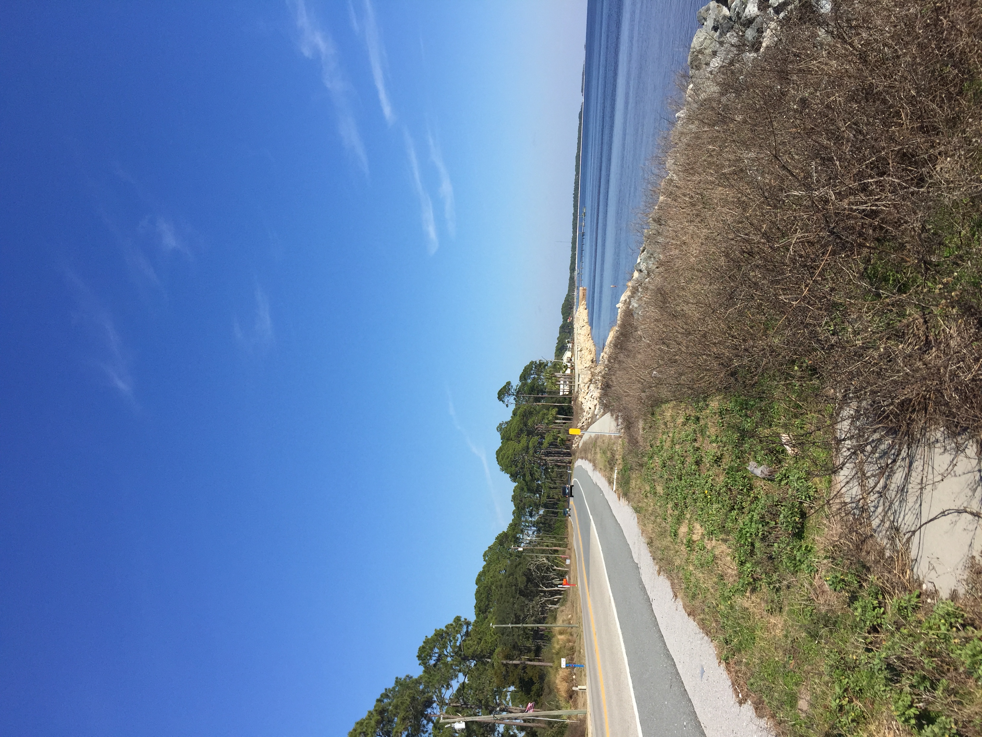
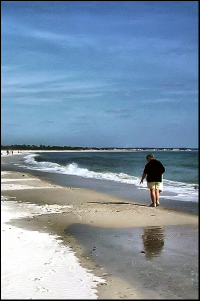
Mexico Beach, Florida

Mexico Beach, Florida
Mexico Beach, Florida
Mexico Beach, Florida
Mexico Beach, Florida
Mexico Beach, Florida

Mexico Beach, Florida
Father's Day Sunset
Mexico Beach, Florida
Mexico Beach, Florida
Mexico Beach, Florida

Edge of Night
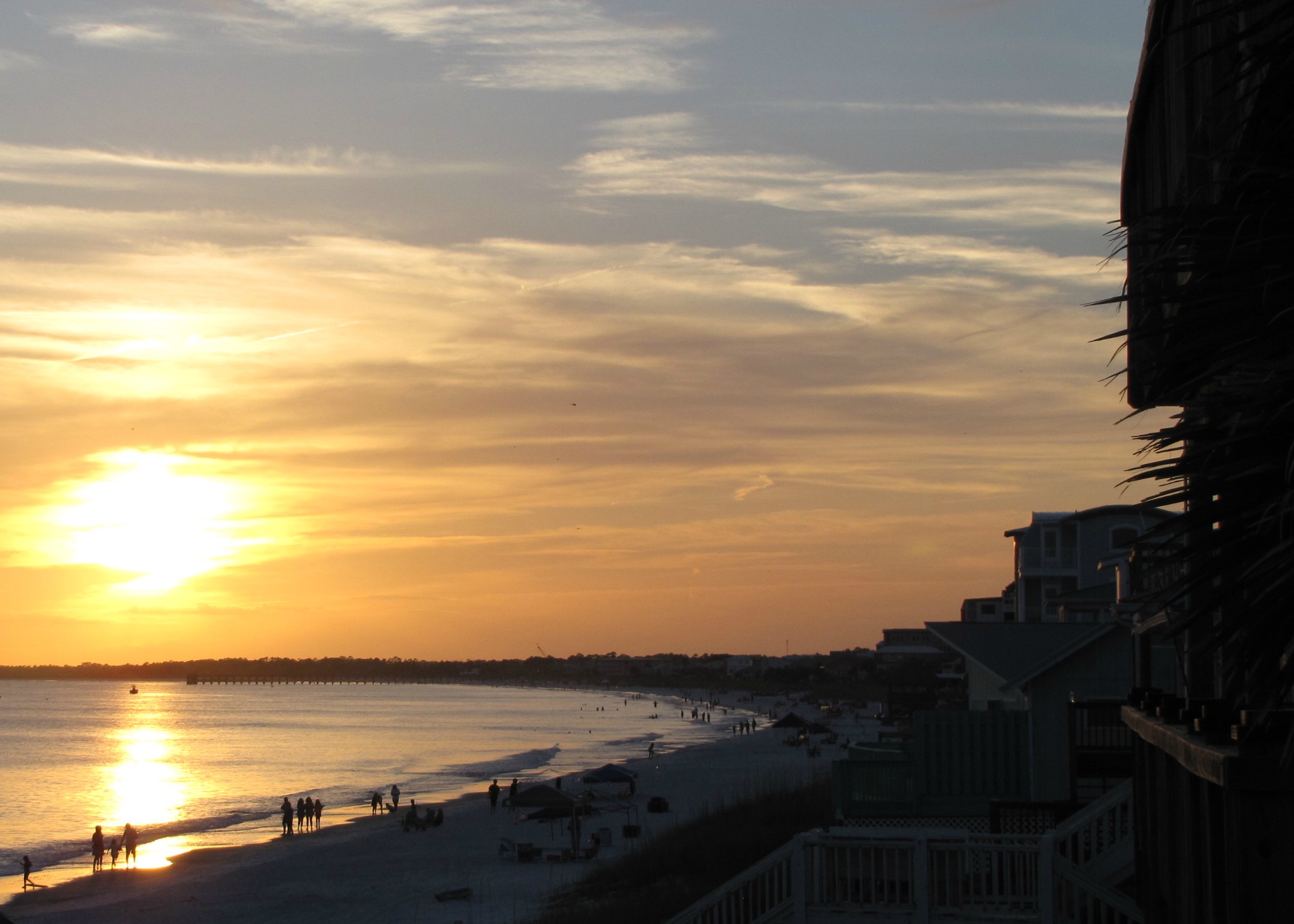
Forgotten Coast Sunset
SHELLING AT CROOKED ISLAND

Castles Made of Sand

Bestest Friends Forever

Memorial Day Gulf
Mexico Beach Florida

Mexico Beach

Mexico Beach
Topographic Map of Circle Dr, Mexico Beach, FL, USA
Find elevation by address:

Places near Circle Dr, Mexico Beach, FL, USA:
125 Circle Dr
111 Circle Dr
116 Miramar Dr
42nd Street
120 S 40th St
112 S 40th St
113 S 40th St
4104 Us-98
U.s. 98 & 41st Street
102a S 40th St
102 S 40th St
4102 Us-98
118 S 38th St
4000 Us-98
116 S 37th St
117 S 37th St
115 S 37th St
112 S 36th St
112 N 39th St
South 37th Street
Recent Searches:
- Elevation of Lagasgasan, X+CQH, Tiaong, Quezon, Philippines
- Elevation of Rojo Ct, Atascadero, CA, USA
- Elevation of Flagstaff Drive, Flagstaff Dr, North Carolina, USA
- Elevation of Avery Ln, Lakeland, FL, USA
- Elevation of Woolwine, VA, USA
- Elevation of Lumagwas Diversified Farmers Multi-Purpose Cooperative, Lumagwas, Adtuyon, RV32+MH7, Pangantucan, Bukidnon, Philippines
- Elevation of Homestead Ridge, New Braunfels, TX, USA
- Elevation of Orchard Road, Orchard Rd, Marlborough, NY, USA
- Elevation of 12 Hutchinson Woods Dr, Fletcher, NC, USA
- Elevation of Holloway Ave, San Francisco, CA, USA