Elevation of Cincinnatus Rd, Cincinnatus, NY, USA
Location: United States > New York > Cortland County > Cincinnatus >
Longitude: -75.894846
Latitude: 42.5467298
Elevation: 323m / 1060feet
Barometric Pressure: 98KPa
Elevation Map:
Satellite Map:
Related Photos:
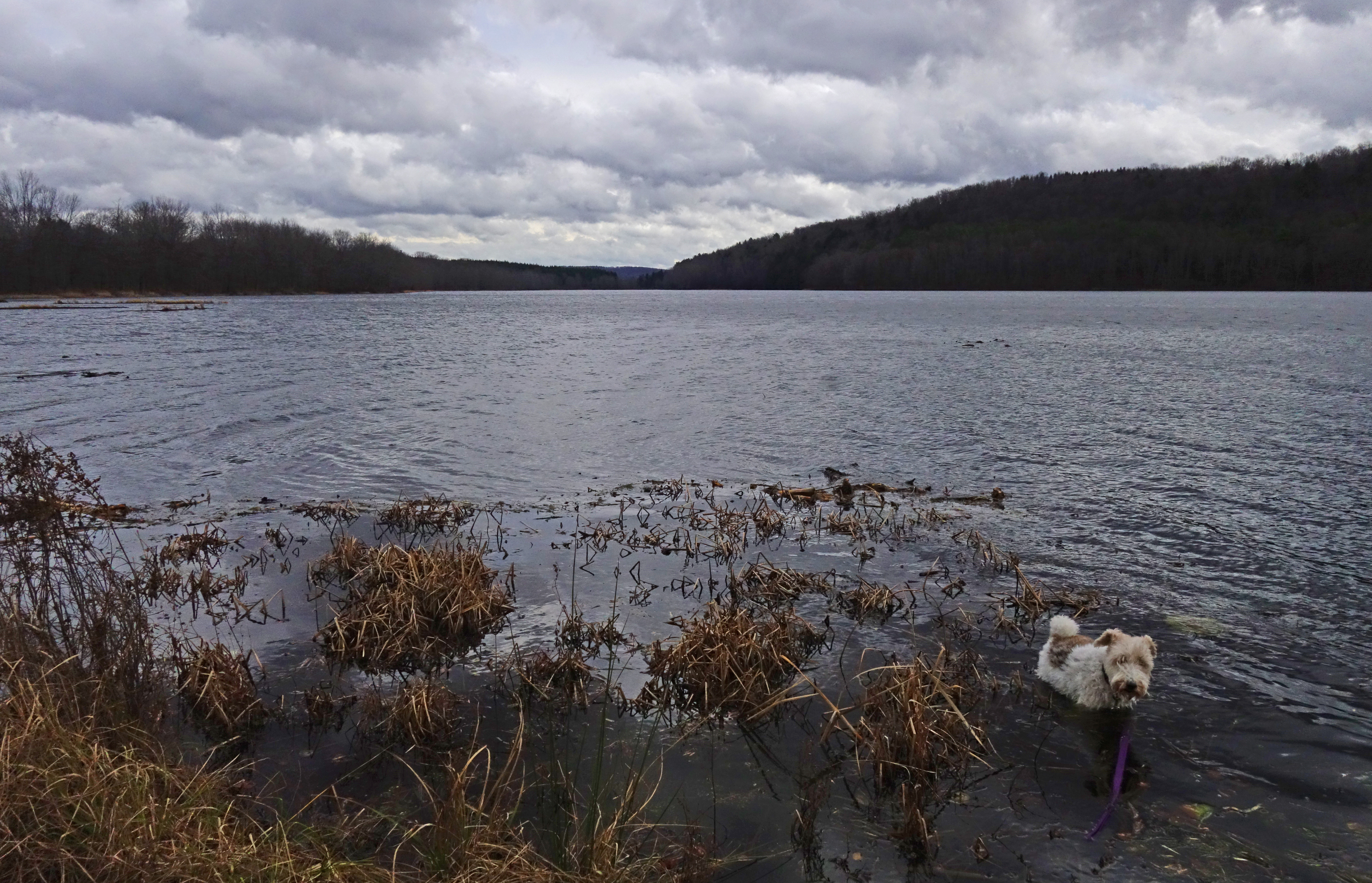
Cincinnatus Lake

An American Tragedy

Grace Brown ~ Rest in Peace

View of Pond from Camp
October 2016 534

Near Long Pond Farm
Summer Reflections

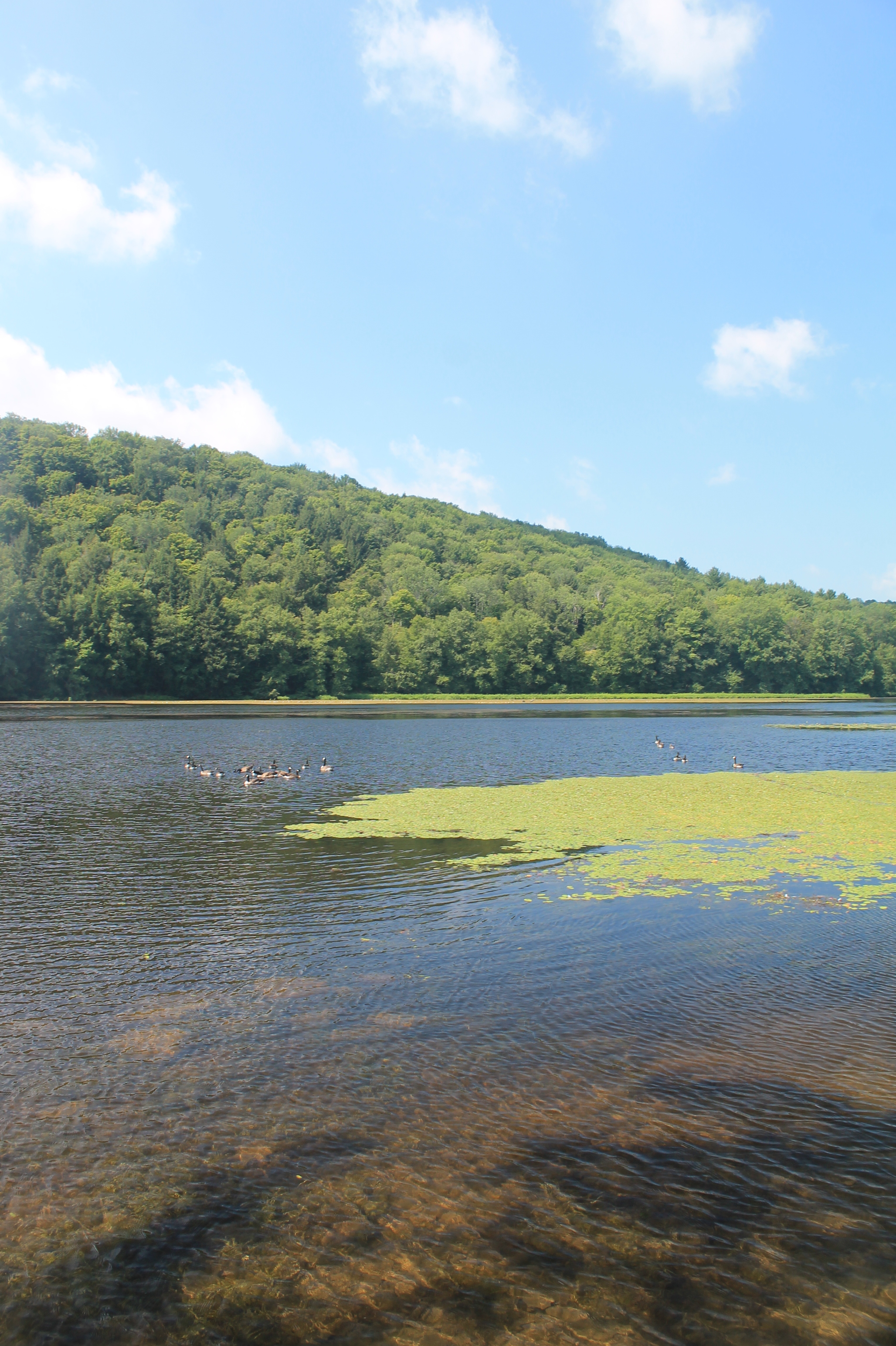
Canadian Geese at Sunset
At the Shore
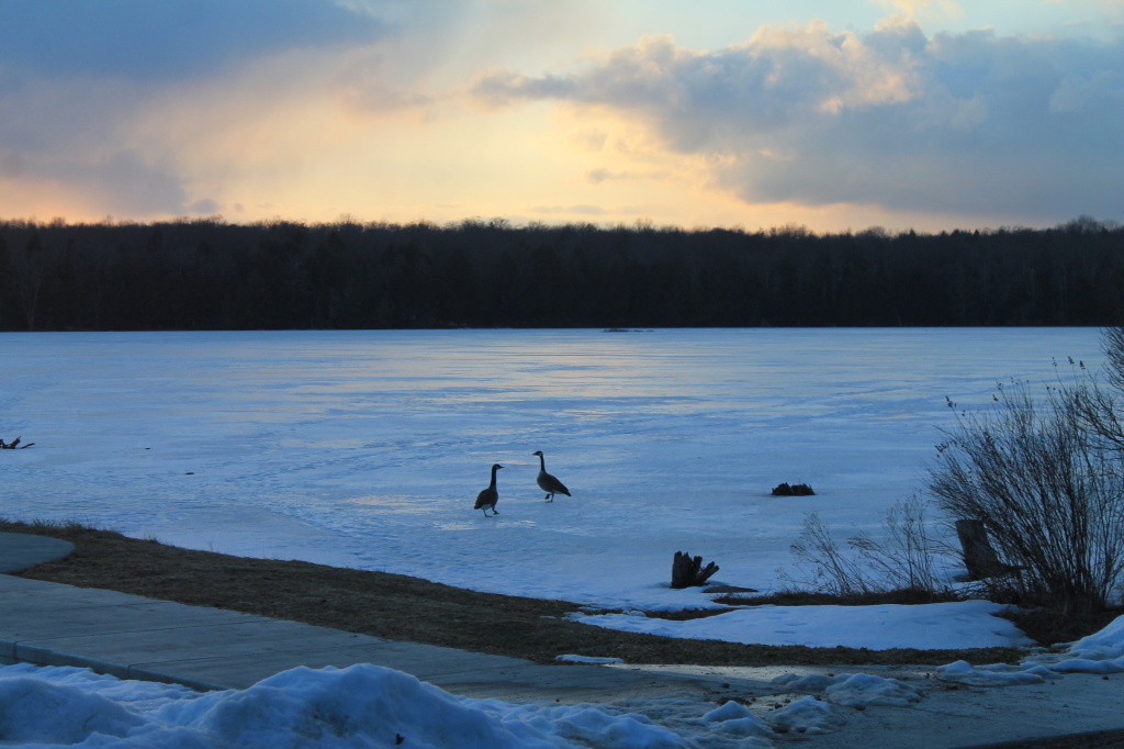
Candian Geese Looking for Forward
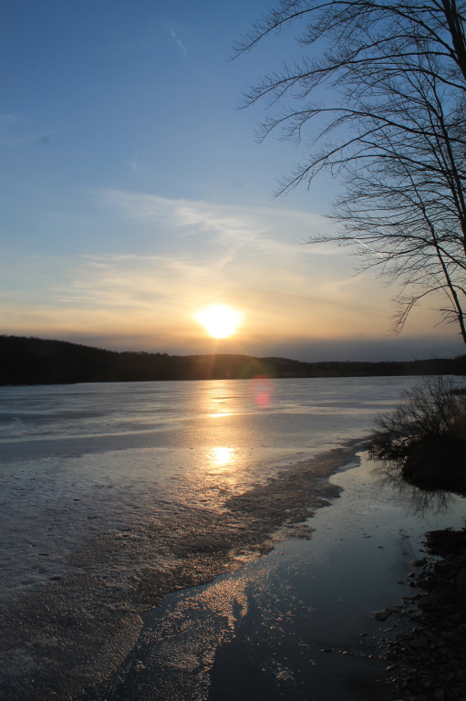
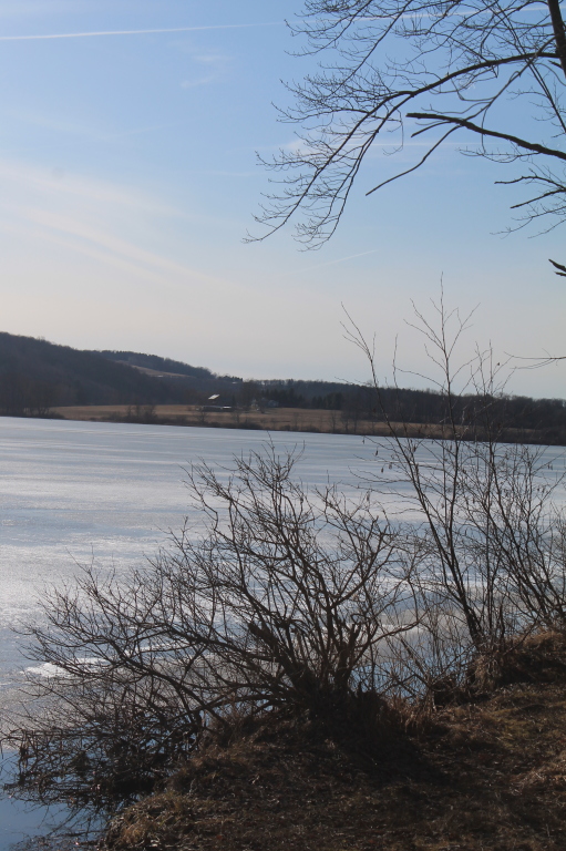
Setting Sun Over Frozen Lake

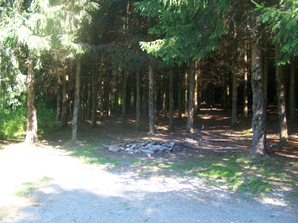
spruce, ii
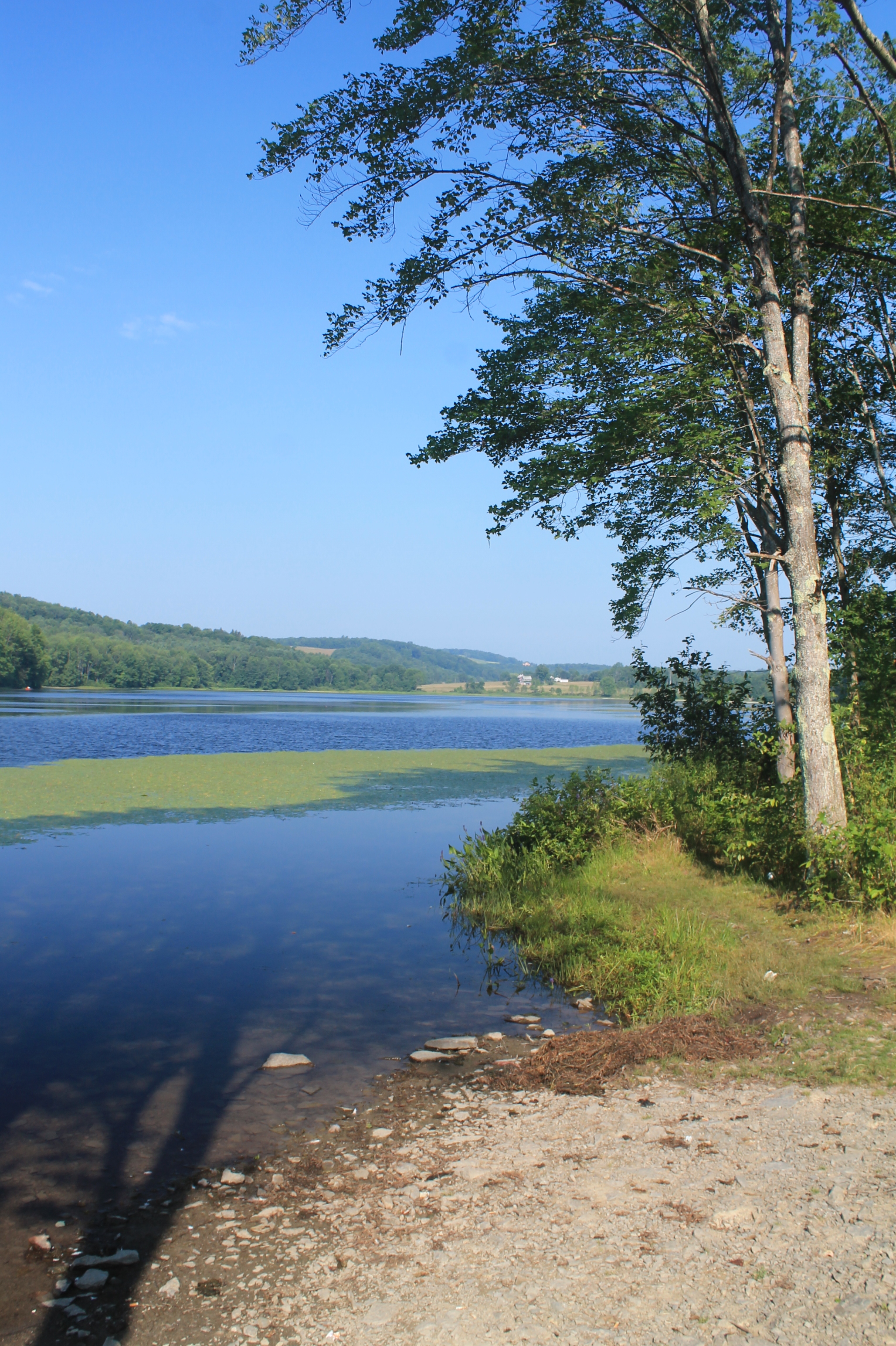
Lake Shore

Reflections of Sun

Setting Sun
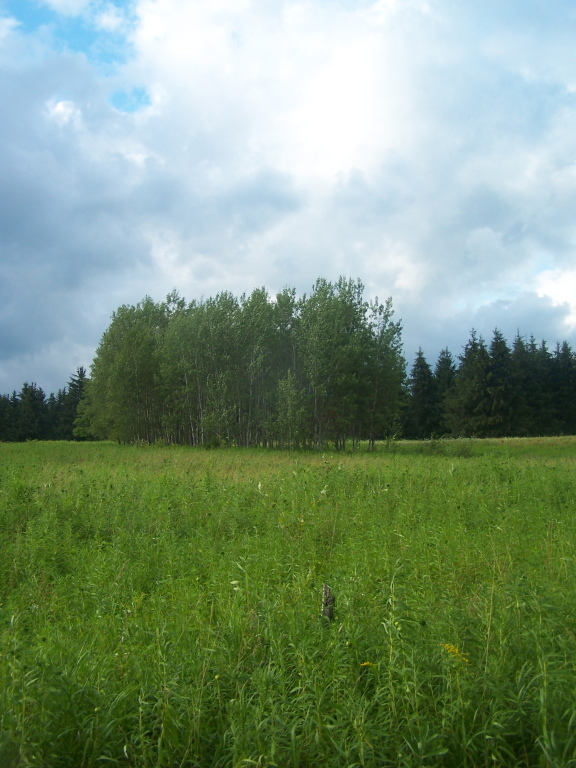
White Birch Planation
Long Pond State Forest, McDonough, NY

Golden Rod, Trees, Clouds
spruce, i
Dalton Road Hike 2008
Campsite Along Creek
Campsite 5 All Cleaned Up
West on Long Pond
Later in the Morning
Topographic Map of Cincinnatus Rd, Cincinnatus, NY, USA
Find elevation by address:

Places near Cincinnatus Rd, Cincinnatus, NY, USA:
5763 Telephone Rd
Cincinnatus
Cheningo Solon Pond Rd, Cincinnatus, NY, USA
Pitcher
Hydeville Rd, Deruyter, NY, USA
Cheningo Solon Pond Rd, Cincinnatus, NY, USA
Pitcher
8 Grand St, Pitcher, NY, USA
Co RD 13 Rd, Deruyter, NY, USA
Lincklaen
Cuyler
2044 County Rd 12
Cuyler Hill Rd, Truxton, NY, USA
Pharsalia
214 N Rd
327 Stage Rd
Old State Rd 26, South Otselic, NY, USA
Otselic
122 Benedict Hill Rd
112 Hoag-childes Rd
Recent Searches:
- Elevation of Spaceport America, Co Rd A, Truth or Consequences, NM, USA
- Elevation of Warwick, RI, USA
- Elevation of Fern Rd, Whitmore, CA, USA
- Elevation of 62 Abbey St, Marshfield, MA, USA
- Elevation of Fernwood, Bradenton, FL, USA
- Elevation of Felindre, Swansea SA5 7LU, UK
- Elevation of Leyte Industrial Development Estate, Isabel, Leyte, Philippines
- Elevation of W Granada St, Tampa, FL, USA
- Elevation of Pykes Down, Ivybridge PL21 0BY, UK
- Elevation of Jalan Senandin, Lutong, Miri, Sarawak, Malaysia