Elevation of Church St, Georgetown, SC, USA
Location: United States > South Carolina > Georgetown County > Georgetown >
Longitude: -79.276716
Latitude: 33.3688706
Elevation: 5m / 16feet
Barometric Pressure: 101KPa
Elevation Map:
Satellite Map:
Related Photos:

Pawleys Island Sunrise
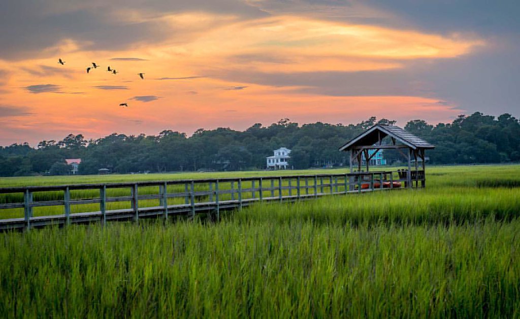
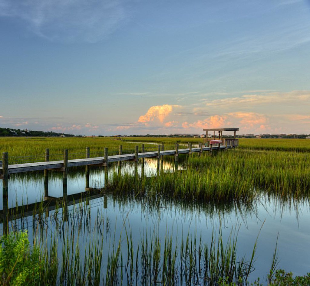
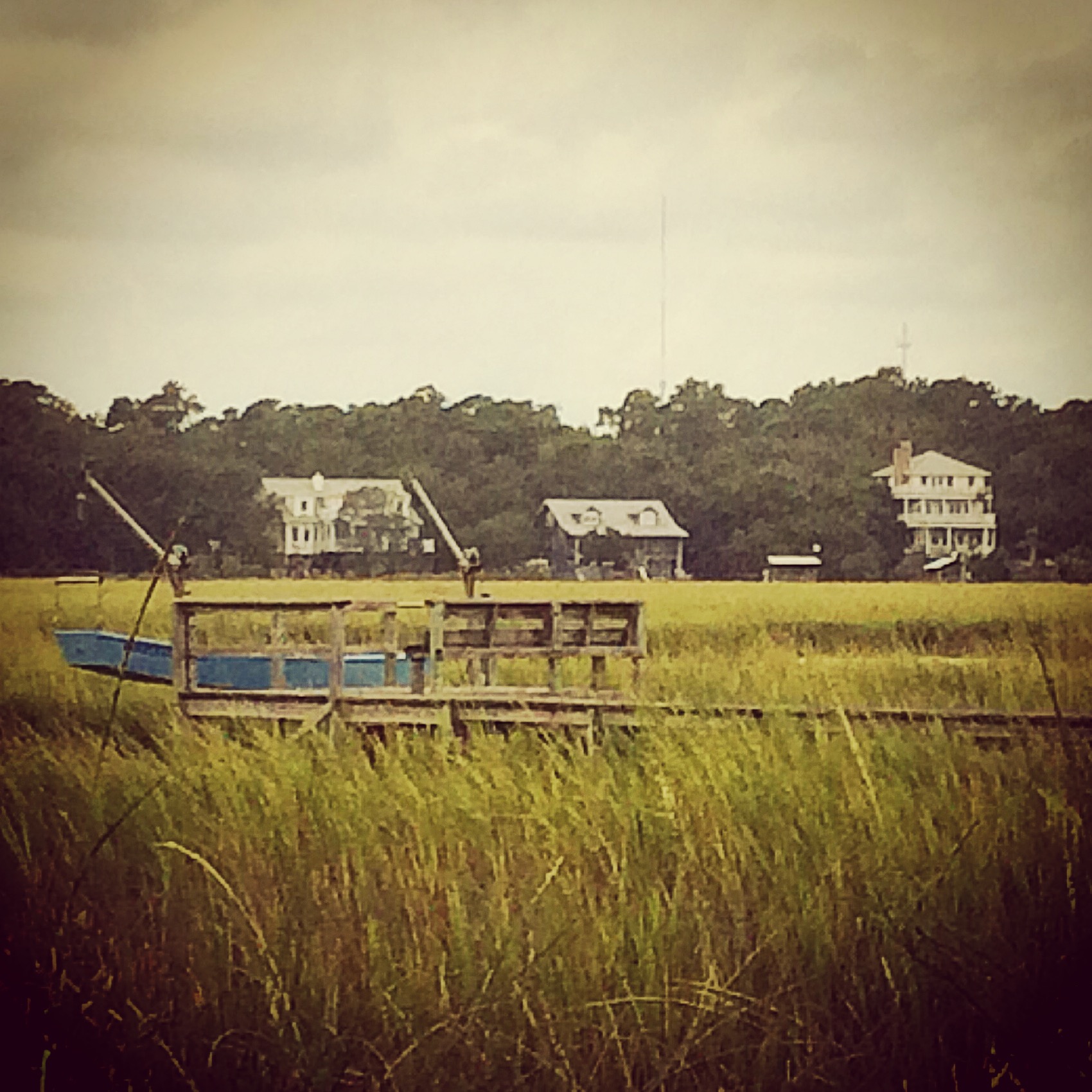
Pawleys Marsh

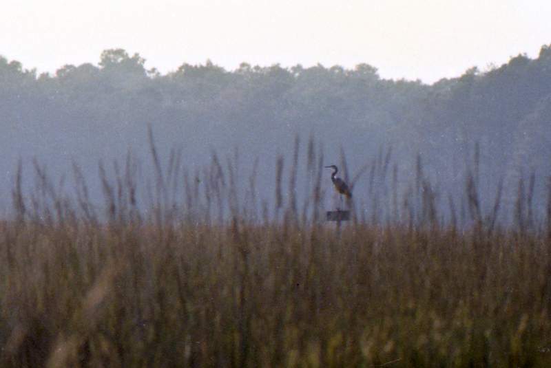
morning marsh

"Infrared capture" #ir #infrared #infraredphotography
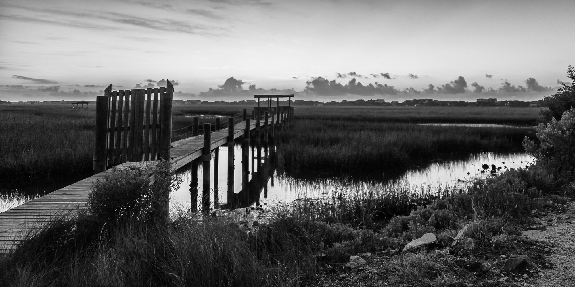
marsh bw
God's painting again! ????@Cjpix . @sunset_stream @sunset_madness @sunset_stream @ig_shotz_sunset @bestshotz_sunset @tgif_sunset @sunsets_oftheworld #tbt #follow #follow4follow #picoft
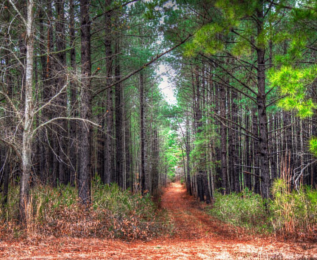
In to the woods
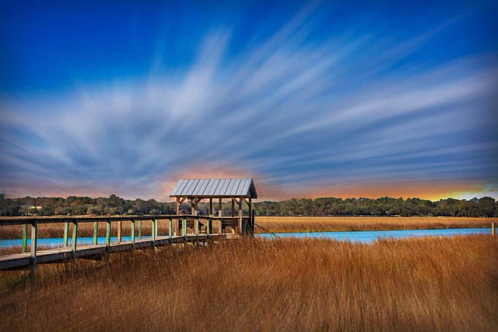
The Marsh at high tide, Pawleys Island

thru the rails
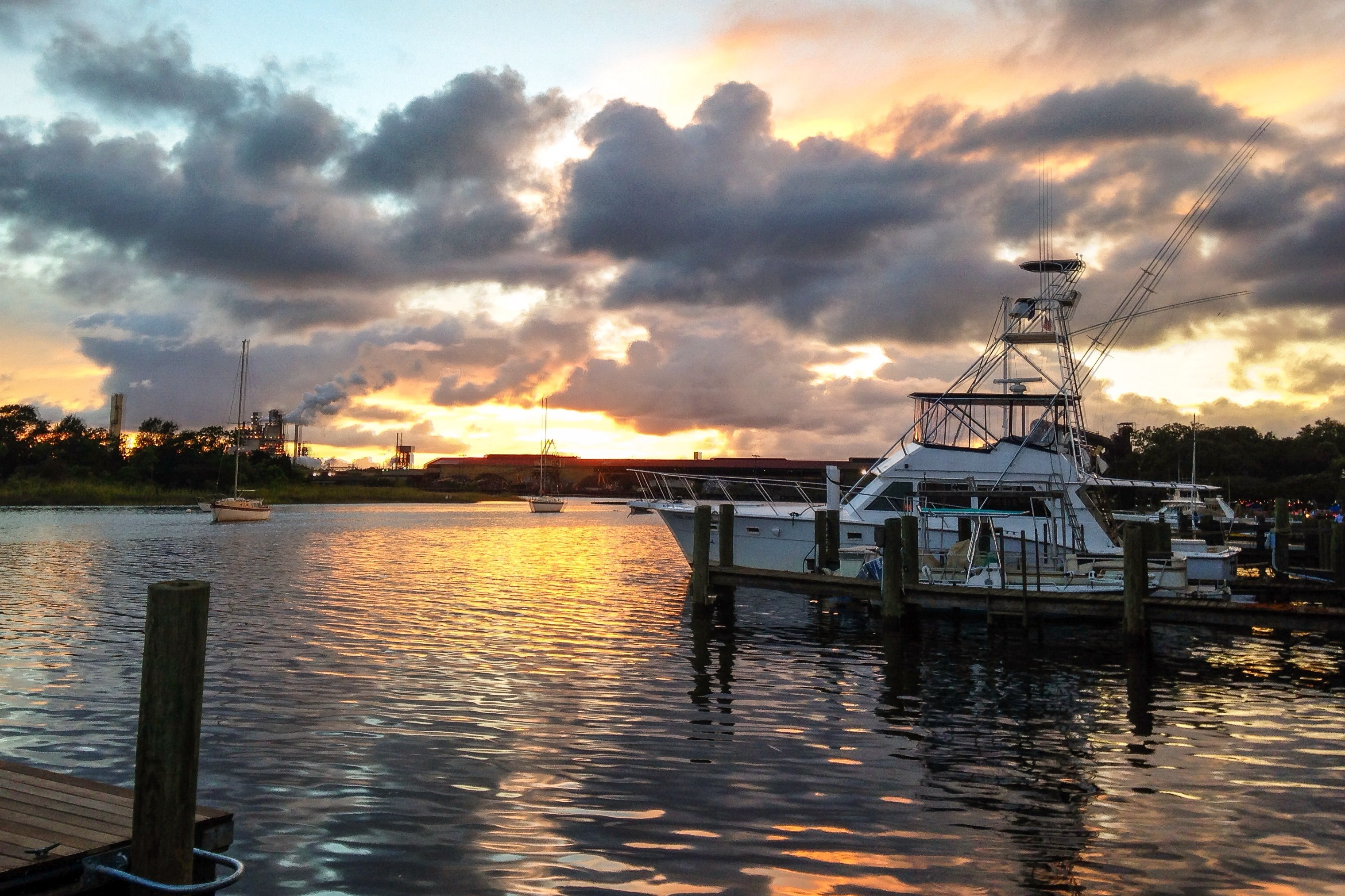
iPhone - Georgetown Waterfront Sunset HDR
Pawleys Island perfect
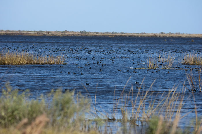
Coot Corner
Pawley's Island
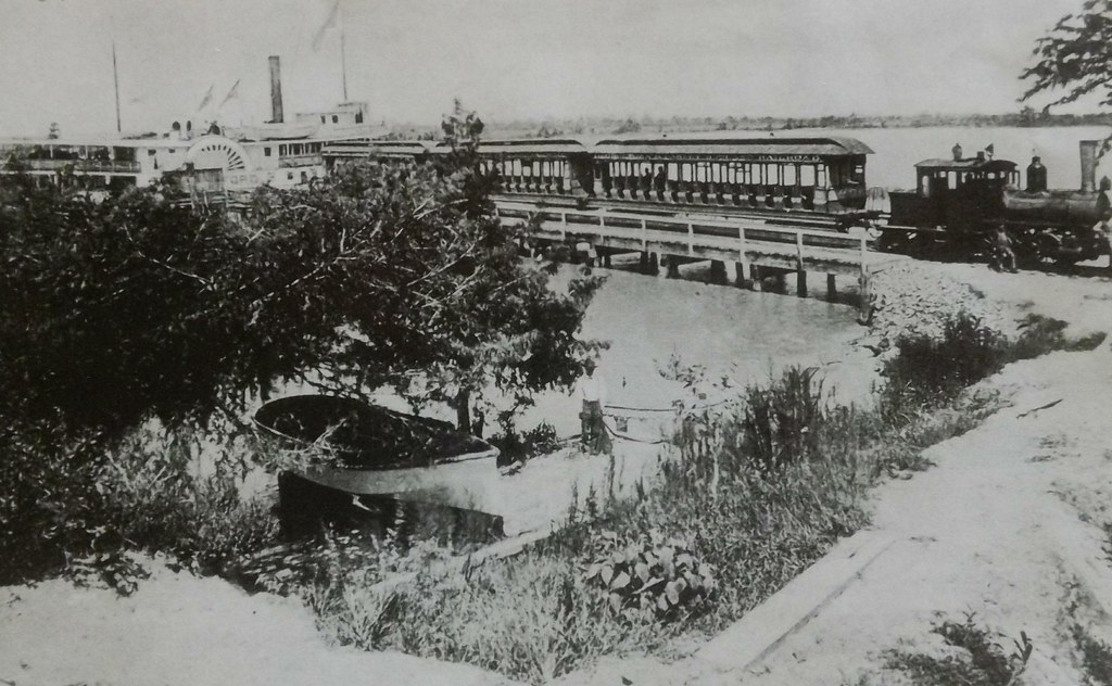
Georgetown and Pawleys Island RR
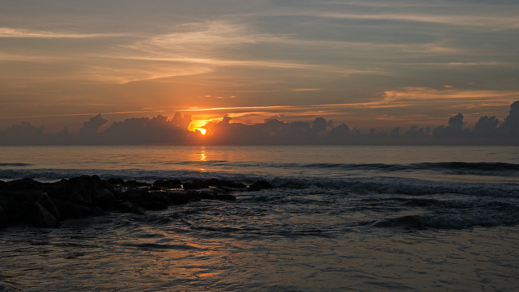
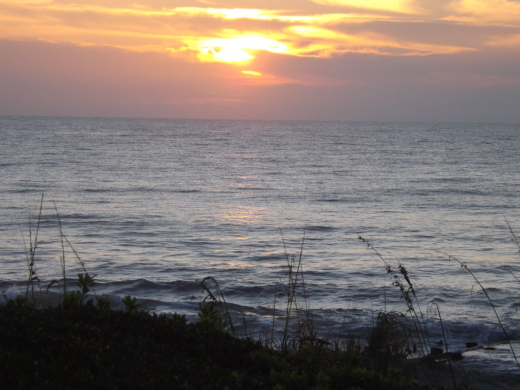
Pawleys Sunrise

Pawley's Plantation
Pawleys Island Marsh, ca. 1980

Dawn at the Jetty - 2
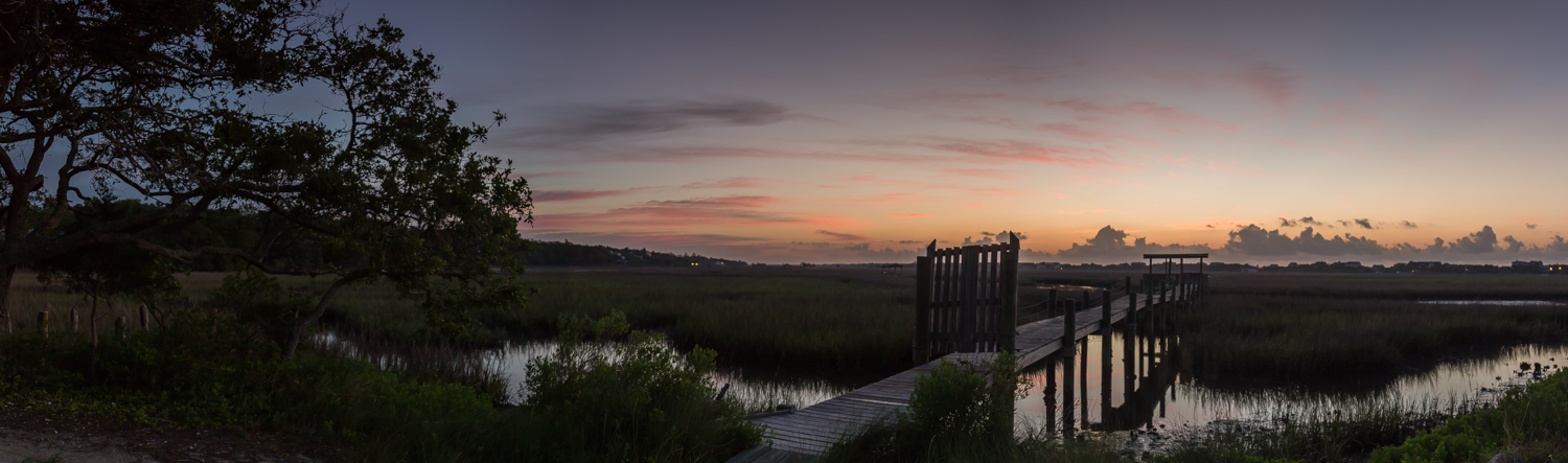
marsh pano
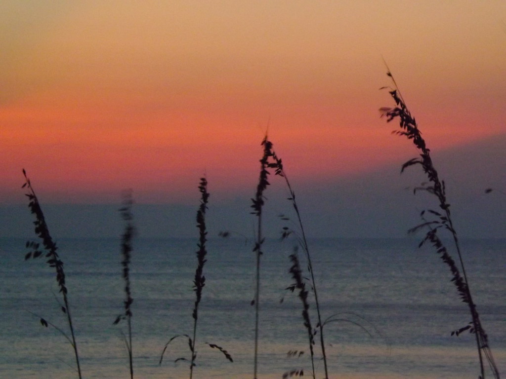
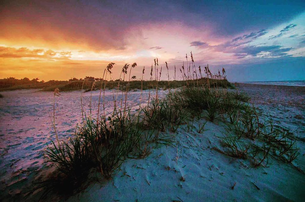
Pastel sunrise through the Sea Oats
Hurricane over the horizon.
Topographic Map of Church St, Georgetown, SC, USA
Find elevation by address:

Places near Church St, Georgetown, SC, USA:
Olives Tavern
419 Queen St
430 Cannon St
407 Church St
402 Church St
315 Church St
411 Highmarket St
401 Highmarket St
617 Highmarket St
214 Cannon St
222 Duke St
723 Highmarket St
401 Prince St
411 Prince St
210 Broad St
732 Prince St
422 Front St
500 Front St
600 Front St
19 Queen St
Recent Searches:
- Elevation of East W.T. Harris Boulevard, E W.T. Harris Blvd, Charlotte, NC, USA
- Elevation of West Sugar Creek, Charlotte, NC, USA
- Elevation of Wayland, NY, USA
- Elevation of Steadfast Ct, Daphne, AL, USA
- Elevation of Lagasgasan, X+CQH, Tiaong, Quezon, Philippines
- Elevation of Rojo Ct, Atascadero, CA, USA
- Elevation of Flagstaff Drive, Flagstaff Dr, North Carolina, USA
- Elevation of Avery Ln, Lakeland, FL, USA
- Elevation of Woolwine, VA, USA
- Elevation of Lumagwas Diversified Farmers Multi-Purpose Cooperative, Lumagwas, Adtuyon, RV32+MH7, Pangantucan, Bukidnon, Philippines