Elevation of Church Hollow Road, Church Hollow Rd, Ceres Township, PA, USA
Location: United States > Pennsylvania > Mckean County > Ceres Township >
Longitude: -78.219190
Latitude: 41.9335615
Elevation: 500m / 1640feet
Barometric Pressure: 95KPa
Elevation Map:
Satellite Map:
Related Photos:

Passing Port Allegheny
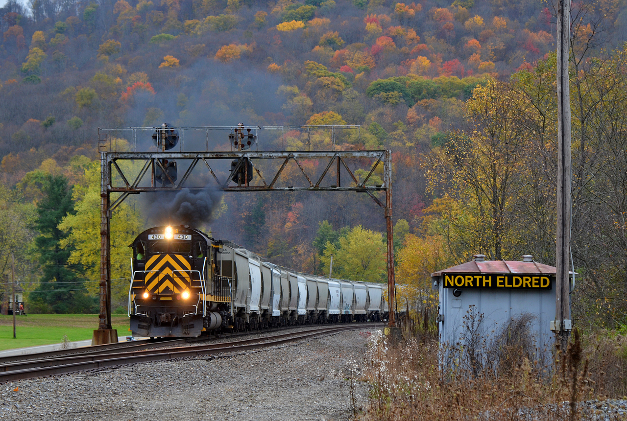
2017 10-23 1110.2 WNYP C430-430 N/B North Eldred, PA
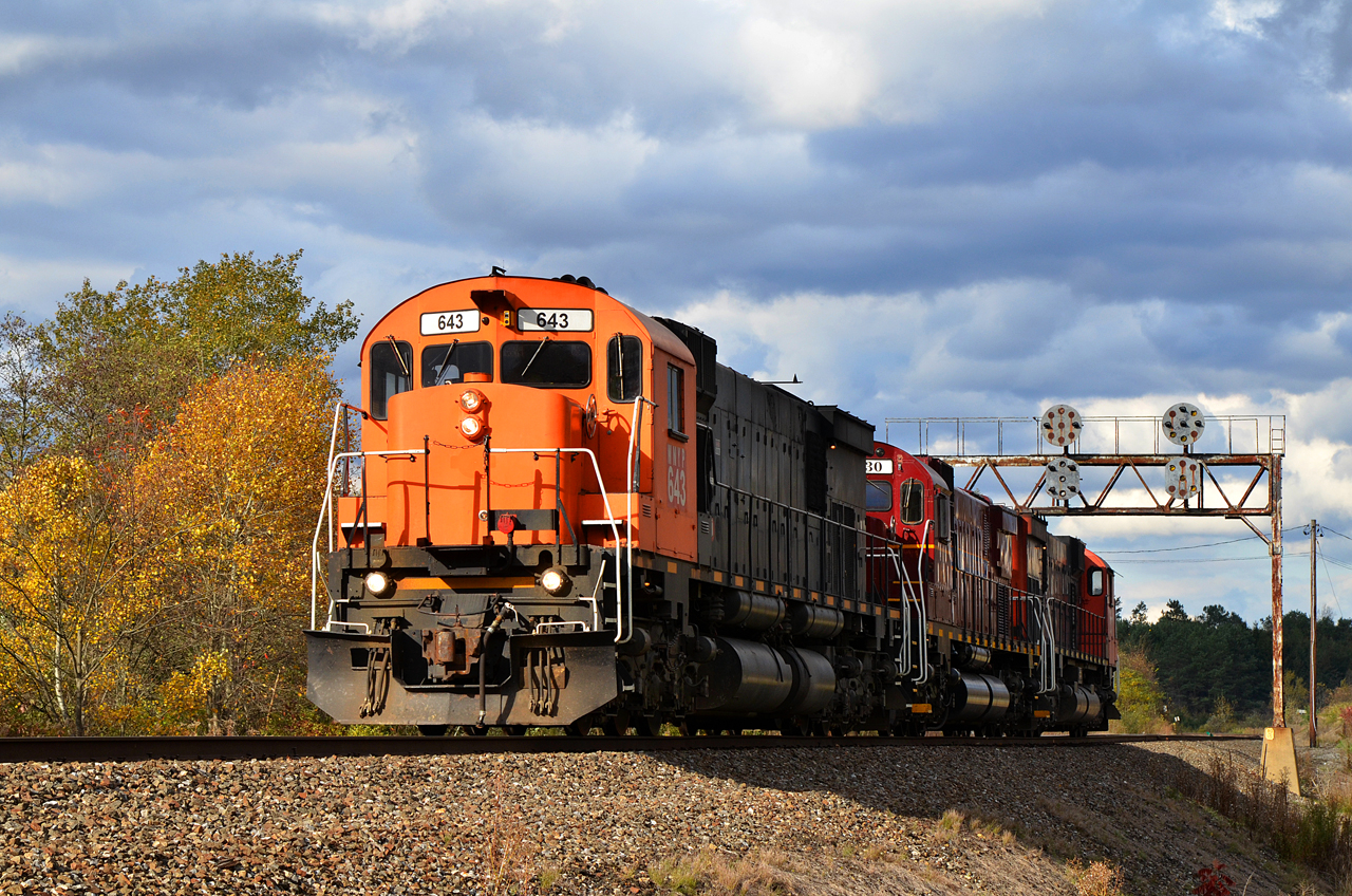
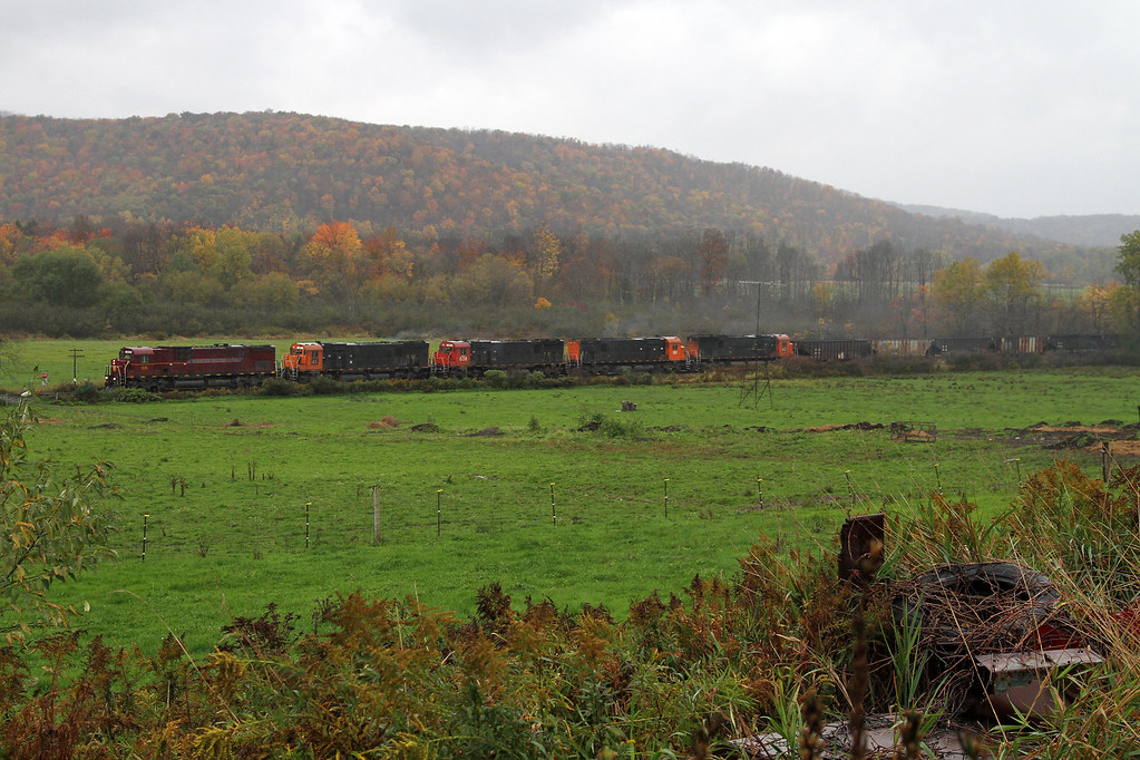
2017 10-24 1540.4 WNYP M636-643, C630M-630, M636-637 S/B DFT North Eldred, PA
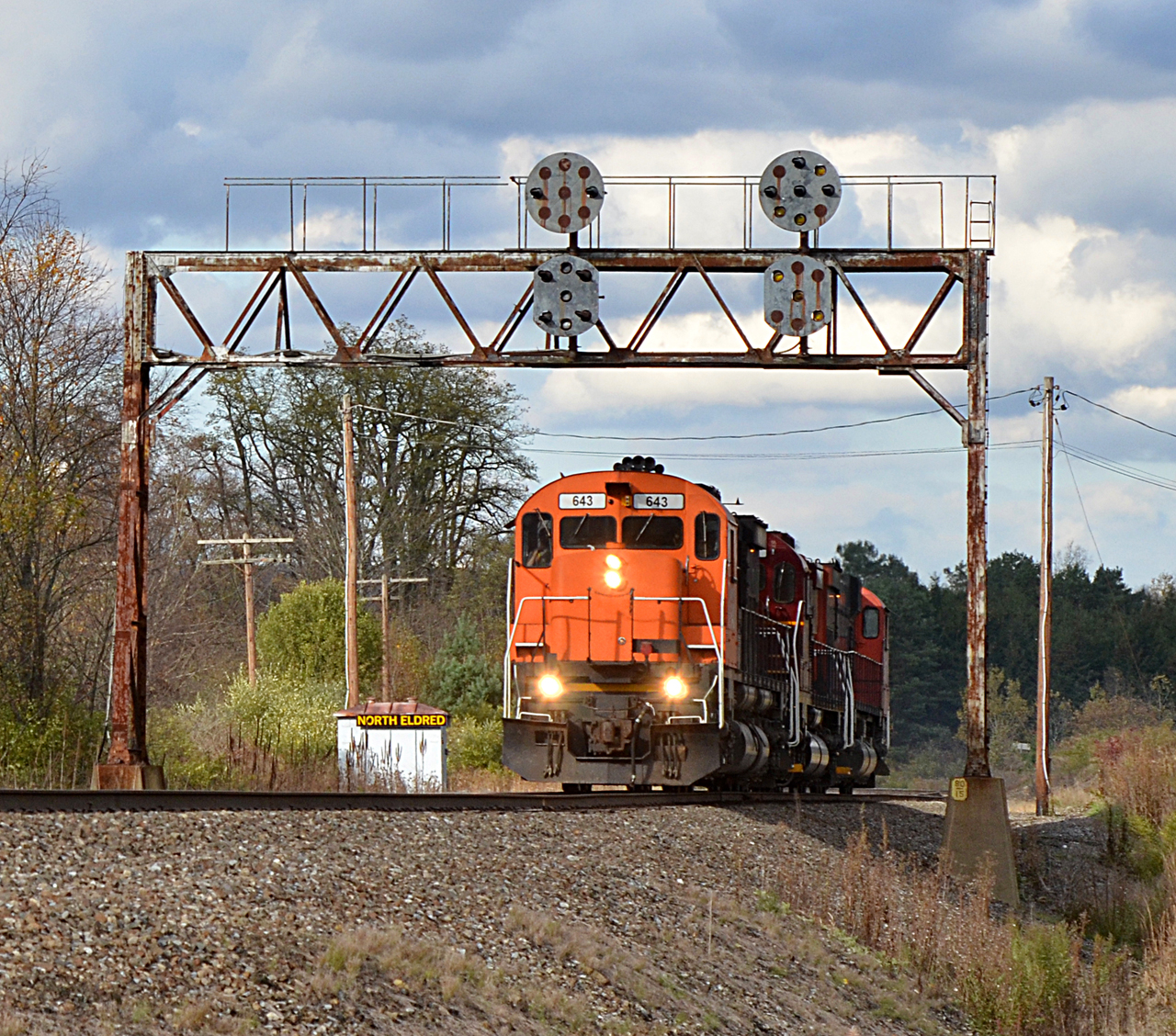
2017 10-24 1540 WNYP M636-643, C630M-630, M636-637 S/B DFT North Eldred, PA

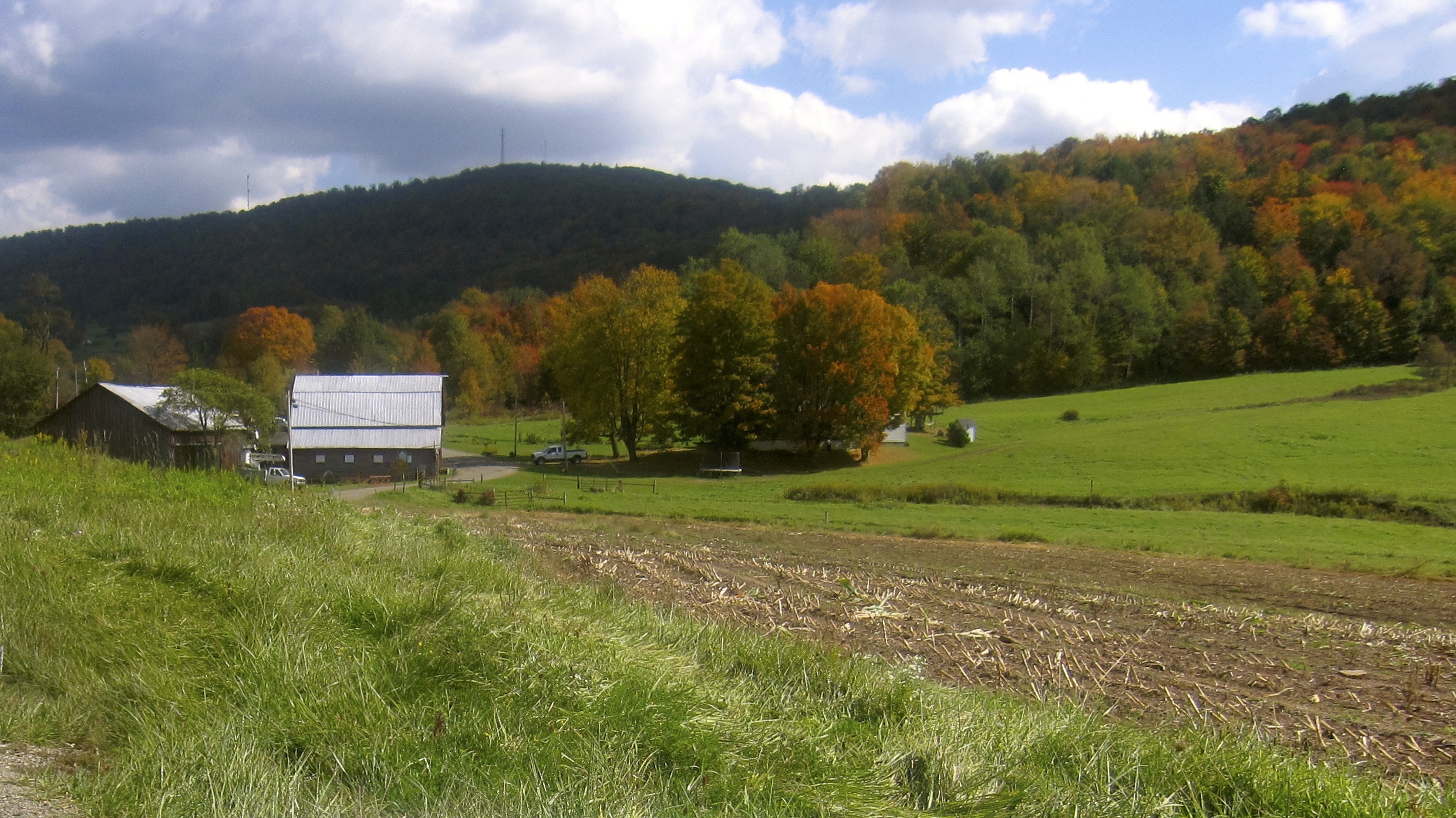
Field View
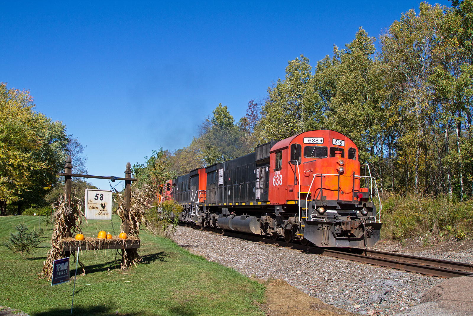
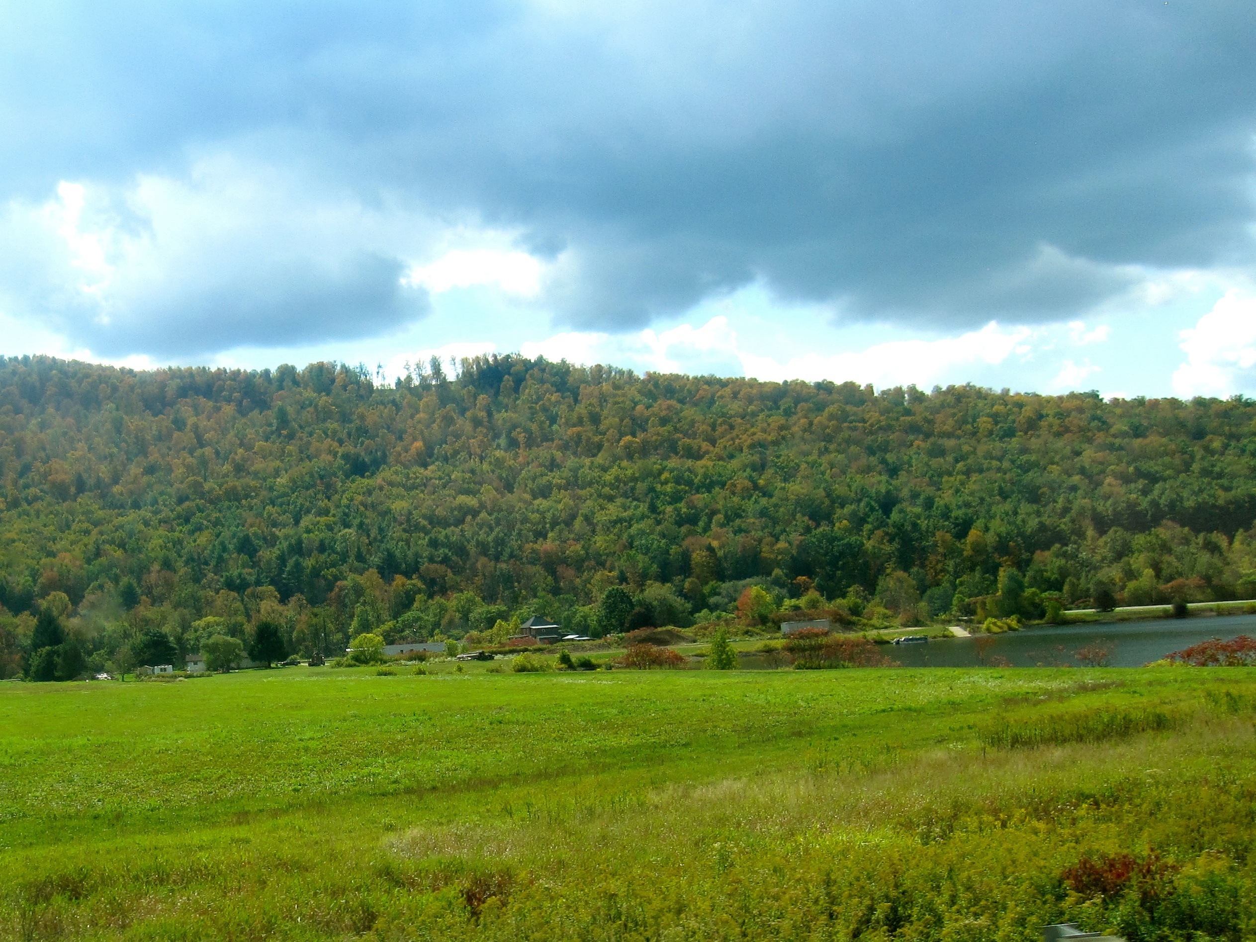
Meirs Meadow
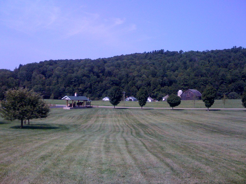
photo.jpg

Bucky at Turtle Point, PA
Rain Rain Go Away
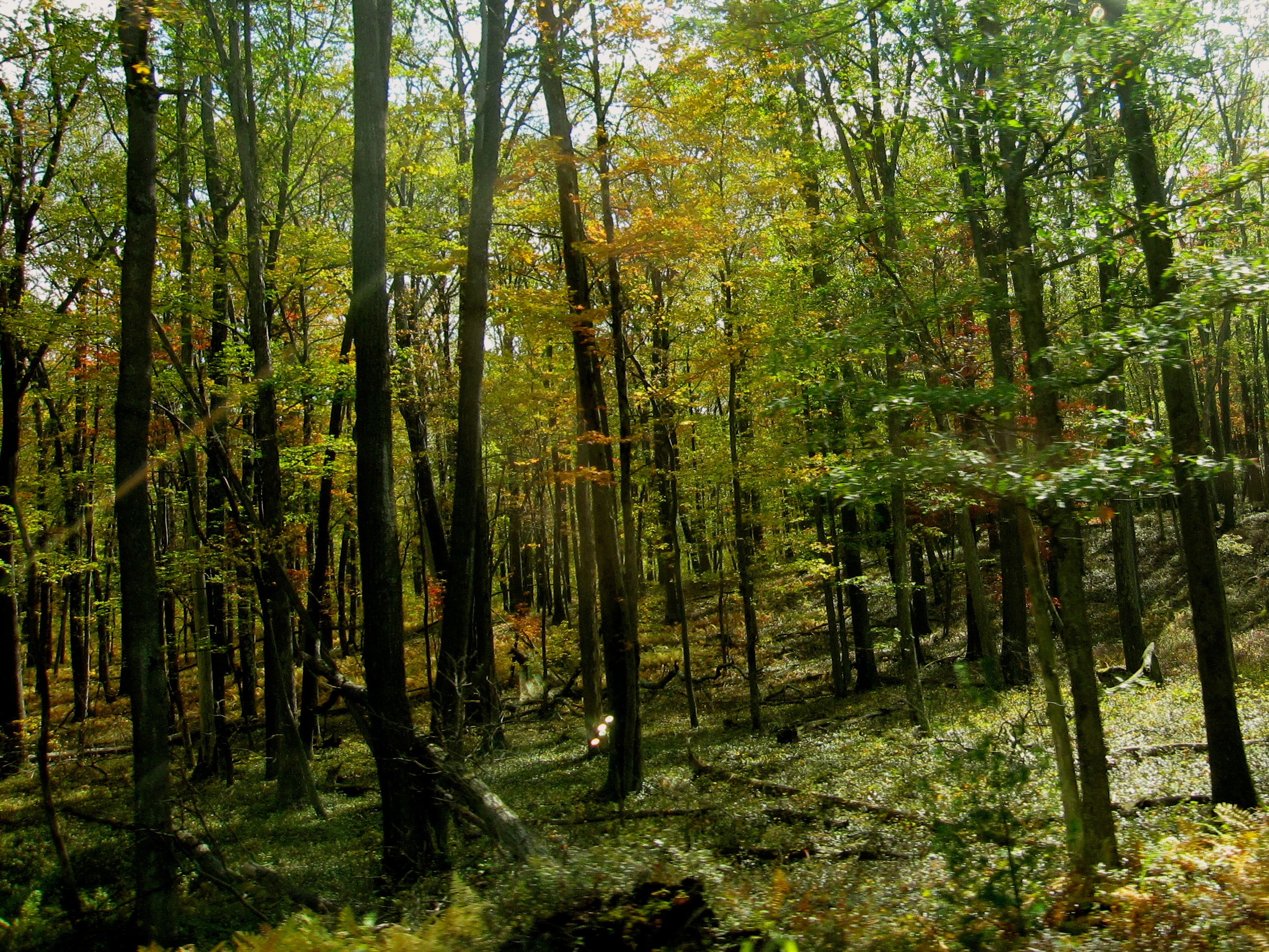
Looking into woods while driving on Historic US-6
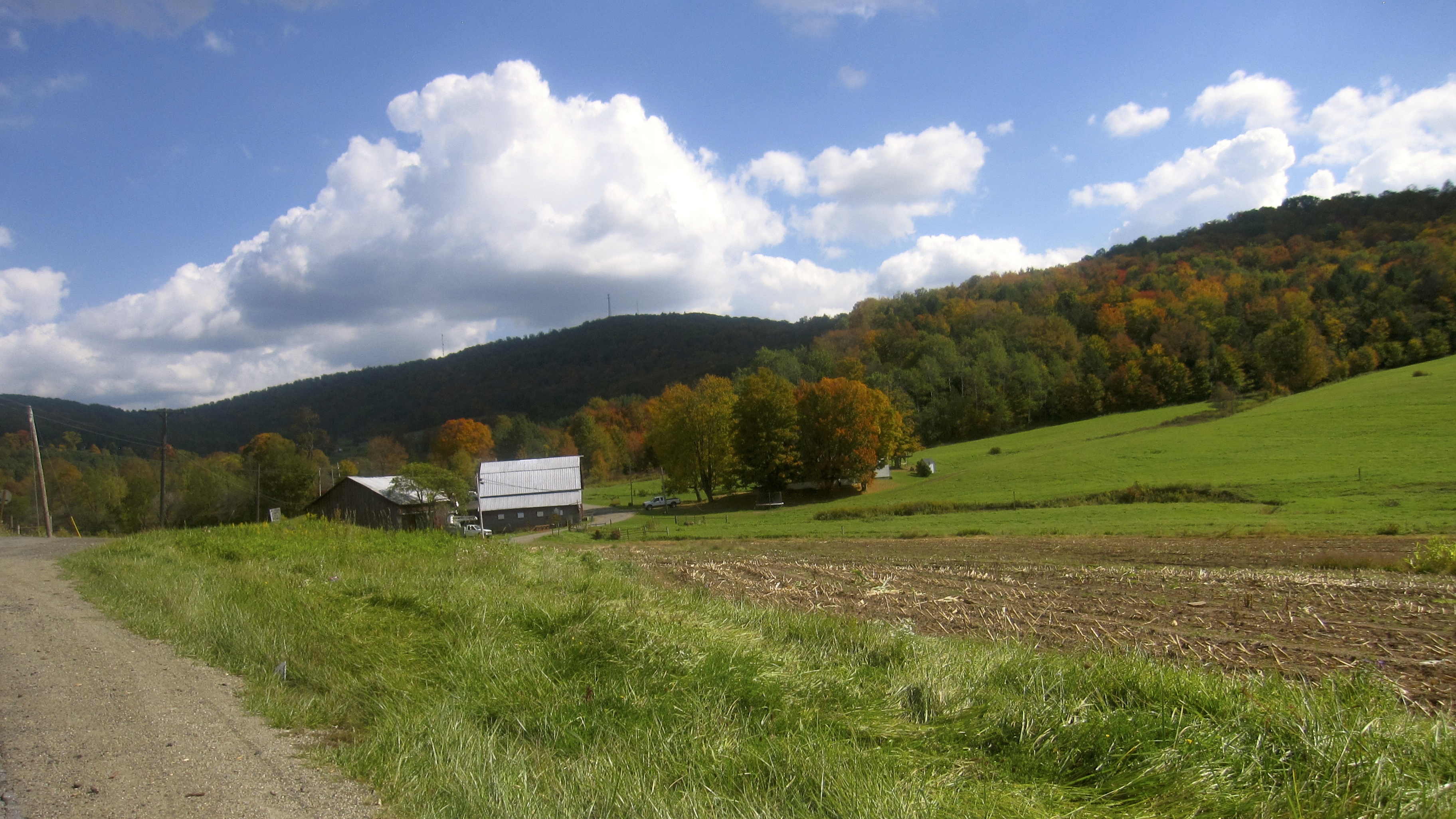
Autumn scene in Western Pennsylvania

Autumn ferns seen while driving on Historic US-6
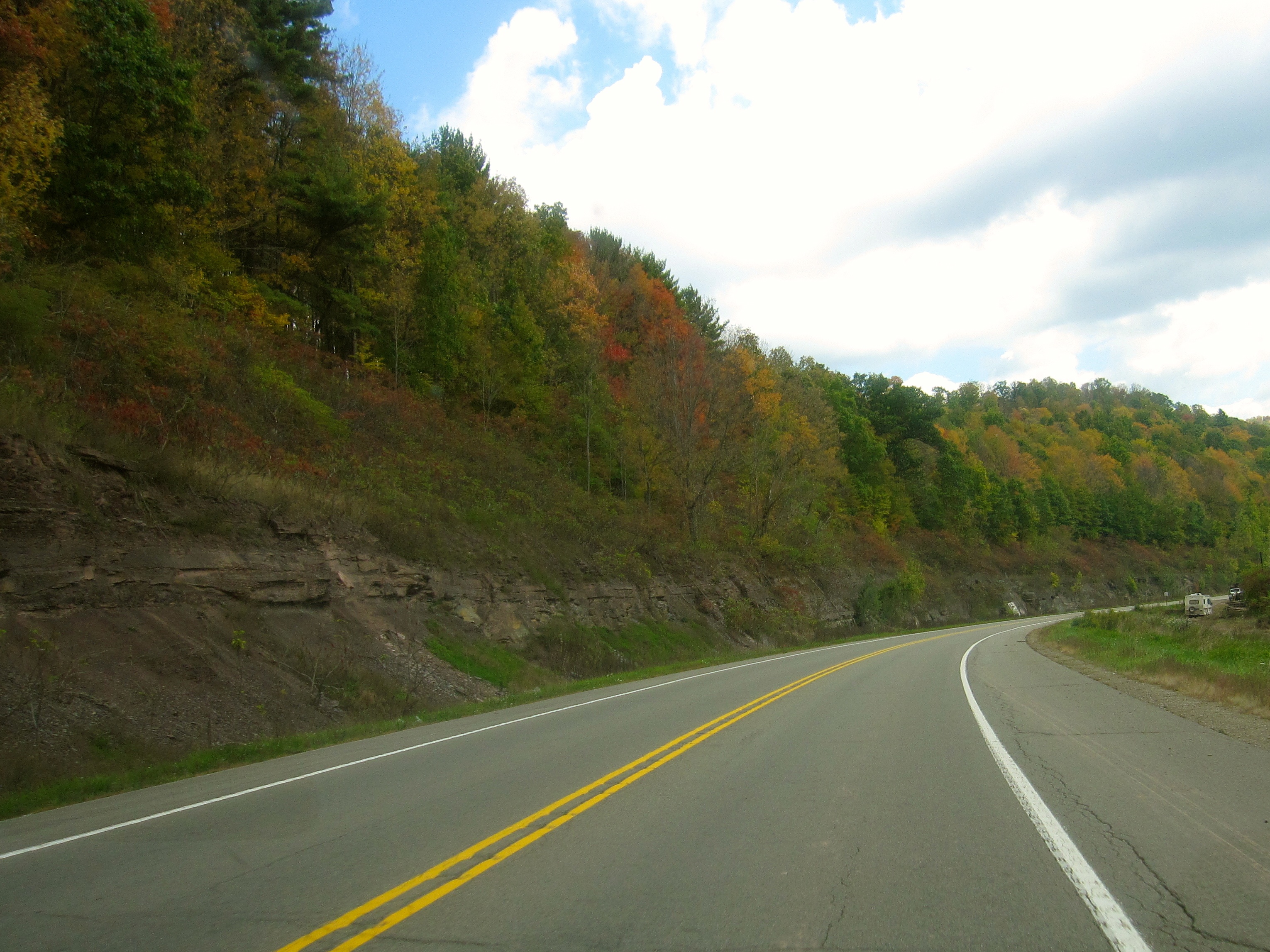
Driving on Historic US-6
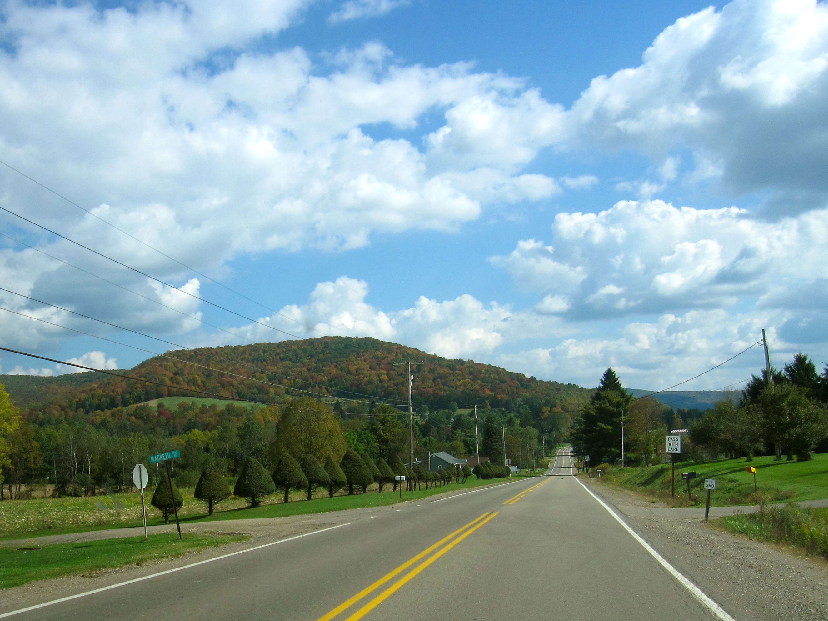
Western Pennsylvania
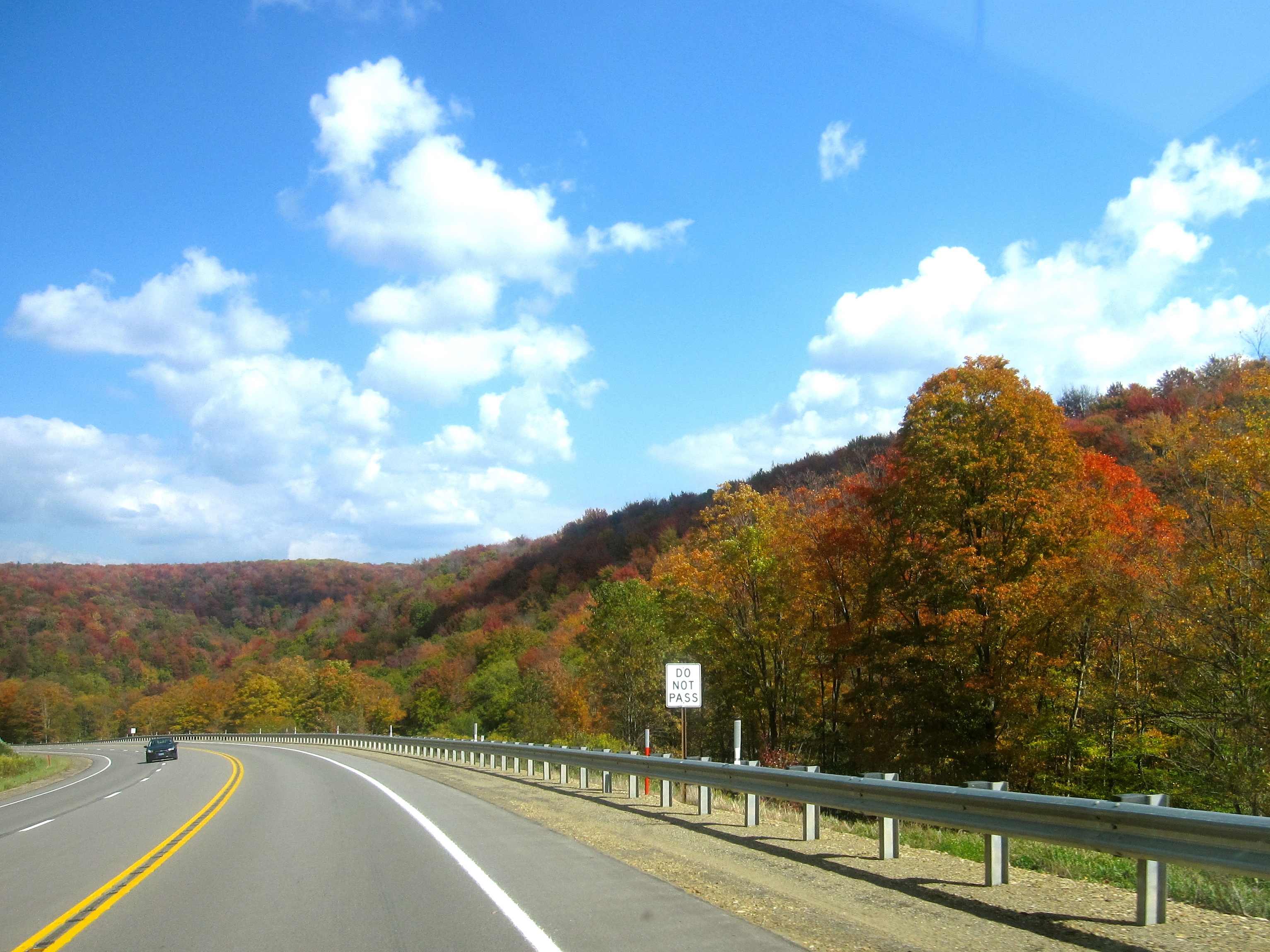
Autumn scene in Western Pennsylvania

Northern Pennsylvania (Historic US-6)

2012-10-07_14-20-58_502
Northern Pennsylvania (Historic US-6)
Driving on Historic US-6

Tied down at Turtle Point. A pair of M636s and a C630M await a crew to spot loaded stone hoppers and pull empties for the return trip to Driftwood.

After refueling in PA, headed home to Olean, NY

Allegheny River at Devil's Elbow
Topographic Map of Church Hollow Road, Church Hollow Rd, Ceres Township, PA, USA
Find elevation by address:

Places near Church Hollow Road, Church Hollow Rd, Ceres Township, PA, USA:
Coon Hollow Road
Bells Run Road
1199 Pa-44
Ceres Township
Turtlepoint, PA, USA
Sanford Hollow Rd, Little Genesee, NY, USA
Little Genesee
1114 Mccrea Brook Rd
7553 Mead Hollow Rd
Clara Township
95 Portville-Ceres Rd, Portville, NY, USA
Genesee
521 Clara Rd
S Bolivar Rd, Bolivar, NY, USA
Bolivar
W Carroll Rd, Portville, NY, USA
Bolivar
Main St, Bolivar, NY, USA
Portville-Ceres Rd, Portville, NY, USA
122 S Main St
Recent Searches:
- Elevation of Pykes Down, Ivybridge PL21 0BY, UK
- Elevation of Jalan Senandin, Lutong, Miri, Sarawak, Malaysia
- Elevation of Bilohirs'k
- Elevation of 30 Oak Lawn Dr, Barkhamsted, CT, USA
- Elevation of Luther Road, Luther Rd, Auburn, CA, USA
- Elevation of Unnamed Road, Respublika Severnaya Osetiya — Alaniya, Russia
- Elevation of Verkhny Fiagdon, North Ossetia–Alania Republic, Russia
- Elevation of F. Viola Hiway, San Rafael, Bulacan, Philippines
- Elevation of Herbage Dr, Gulfport, MS, USA
- Elevation of Lilac Cir, Haldimand, ON N3W 2G9, Canada