Elevation of Church Hill Rd, Chestertown, MD, USA
Location: United States > Maryland > Queen Anne's County > 2, Church Hill >
Longitude: -76.056334
Latitude: 39.206346
Elevation: 2m / 7feet
Barometric Pressure: 101KPa
Elevation Map:
Satellite Map:
Related Photos:

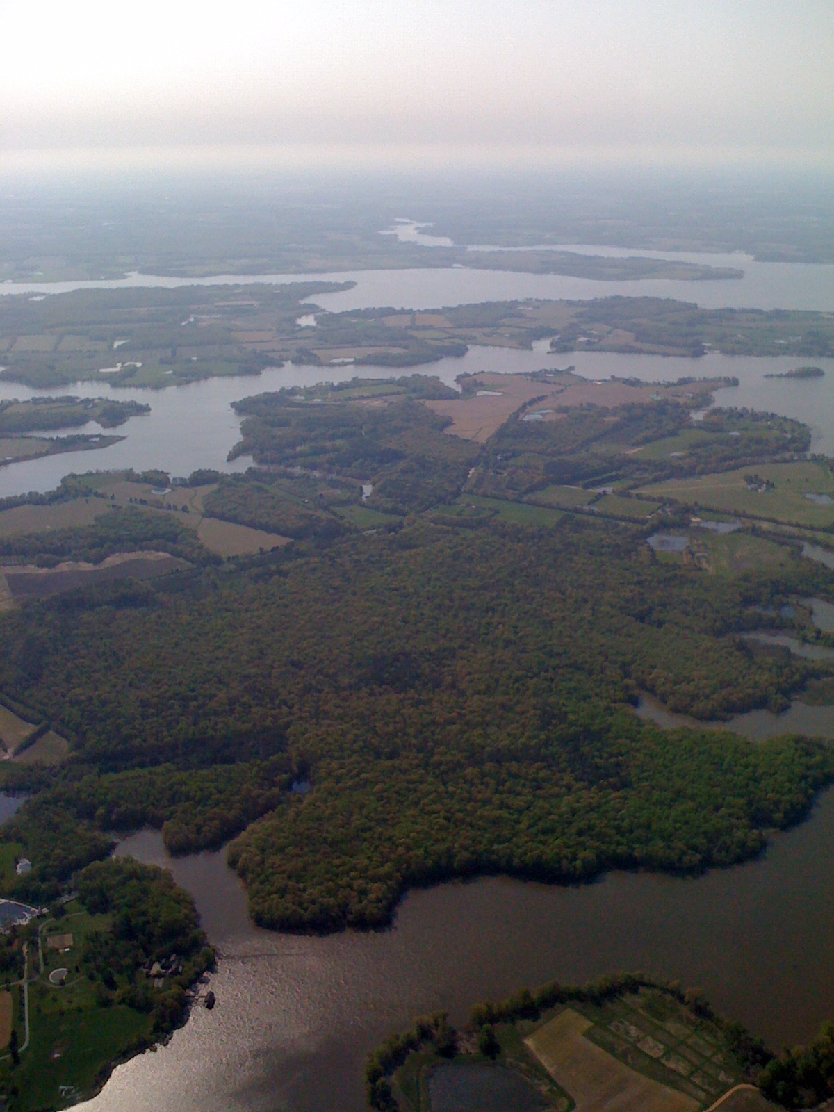
Chesapeake Bay watershed from the air
A Story Untold
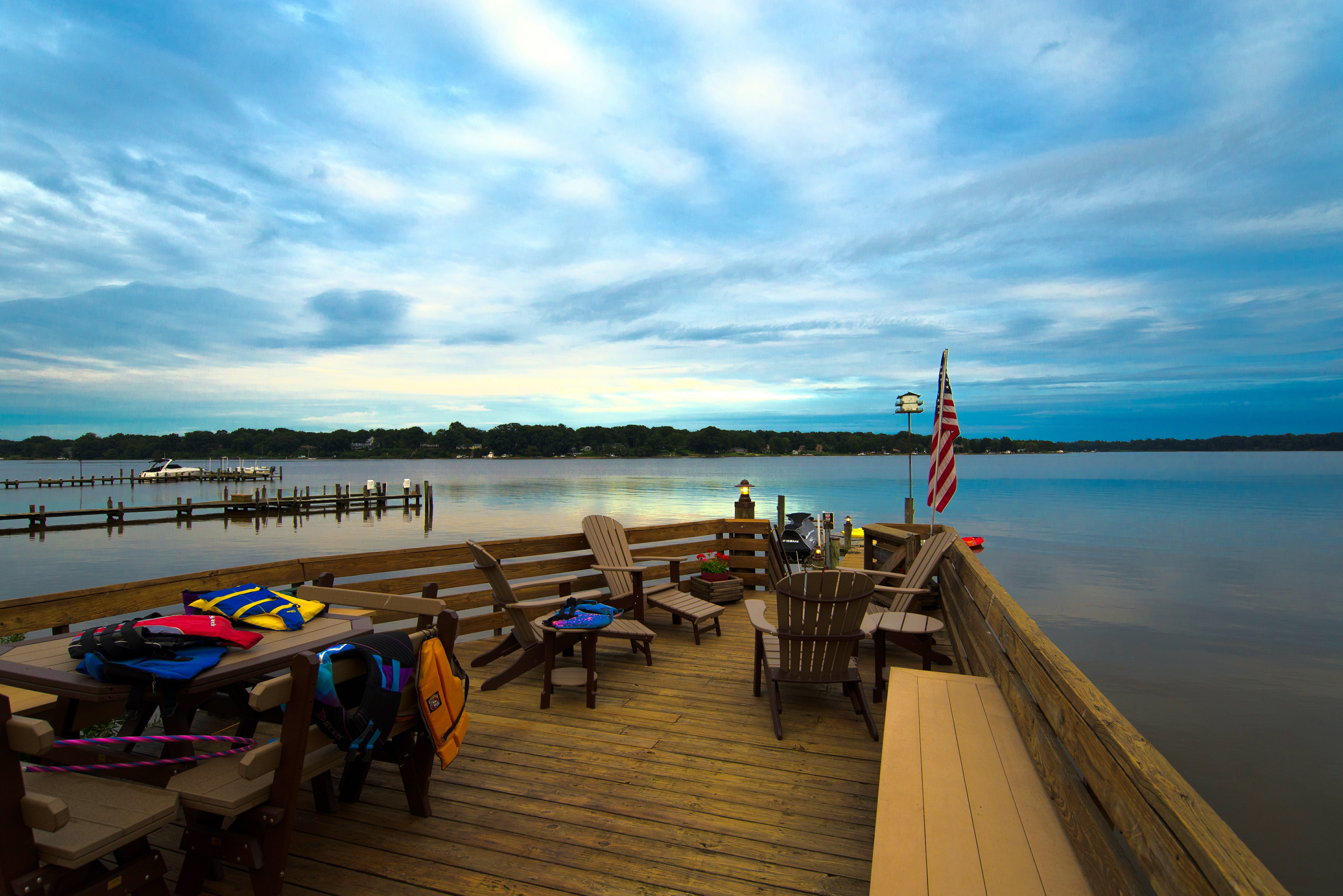
Dusk on the River
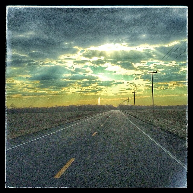
Image created with #Snapseed
IMG_0361.JPG
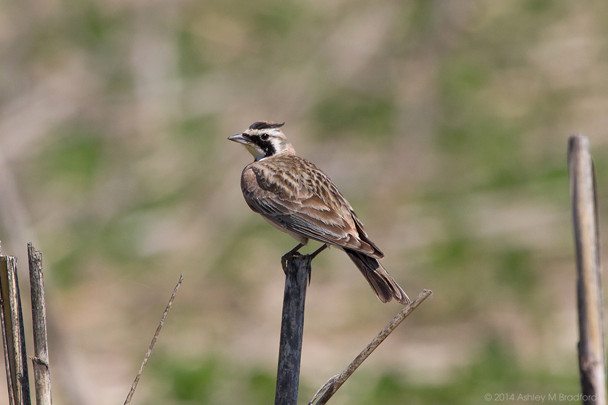
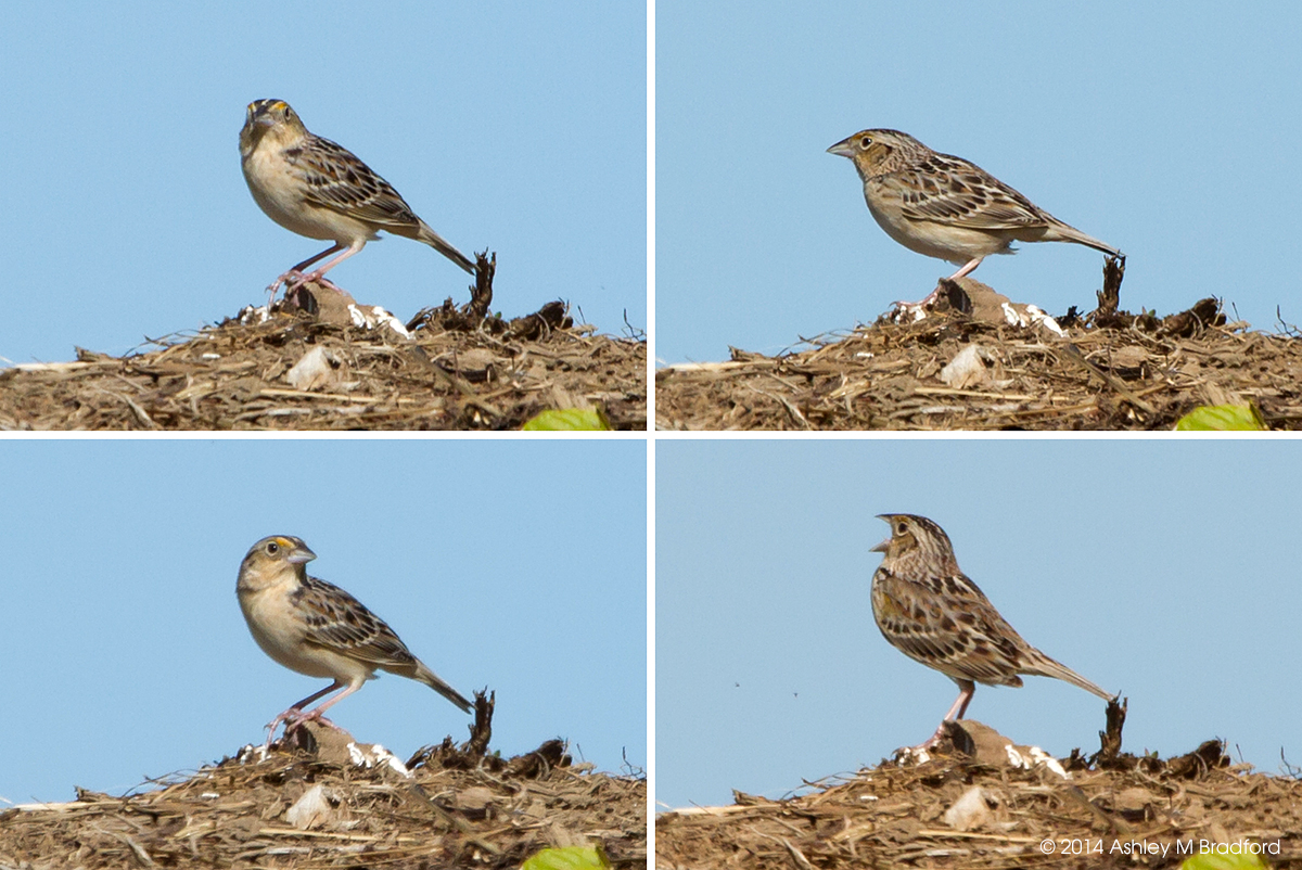
Horned Lark
IMG_0362.JPG

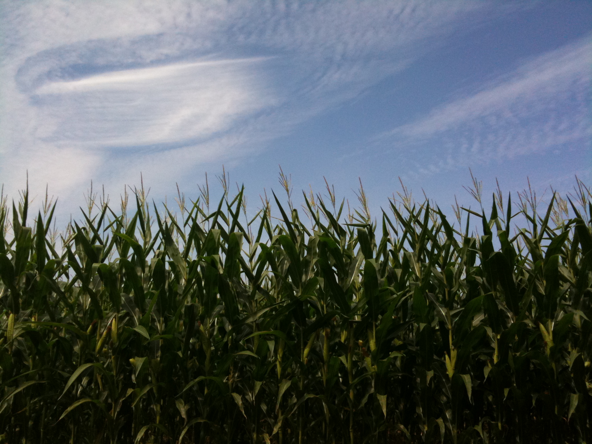
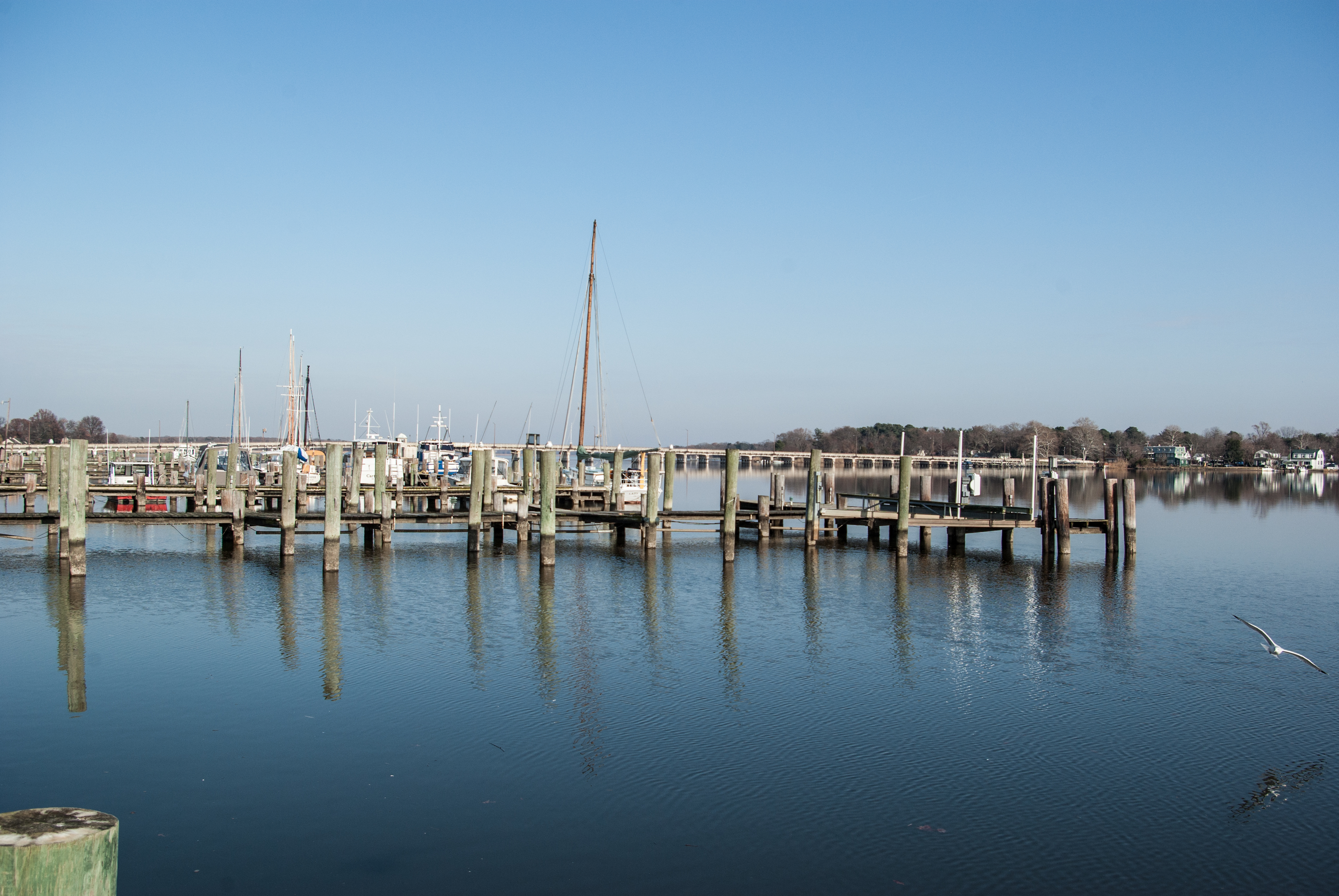
A few times a year we head out across the Bay to the Eastern Shore of Maryland. As someone who thrives in an urban environment, the trip is an interesting mix of peaceful beauty and anxiety-producing nothingness. I present this image as an example.

Bloomfield Farm in Queen Anne's County, Md.
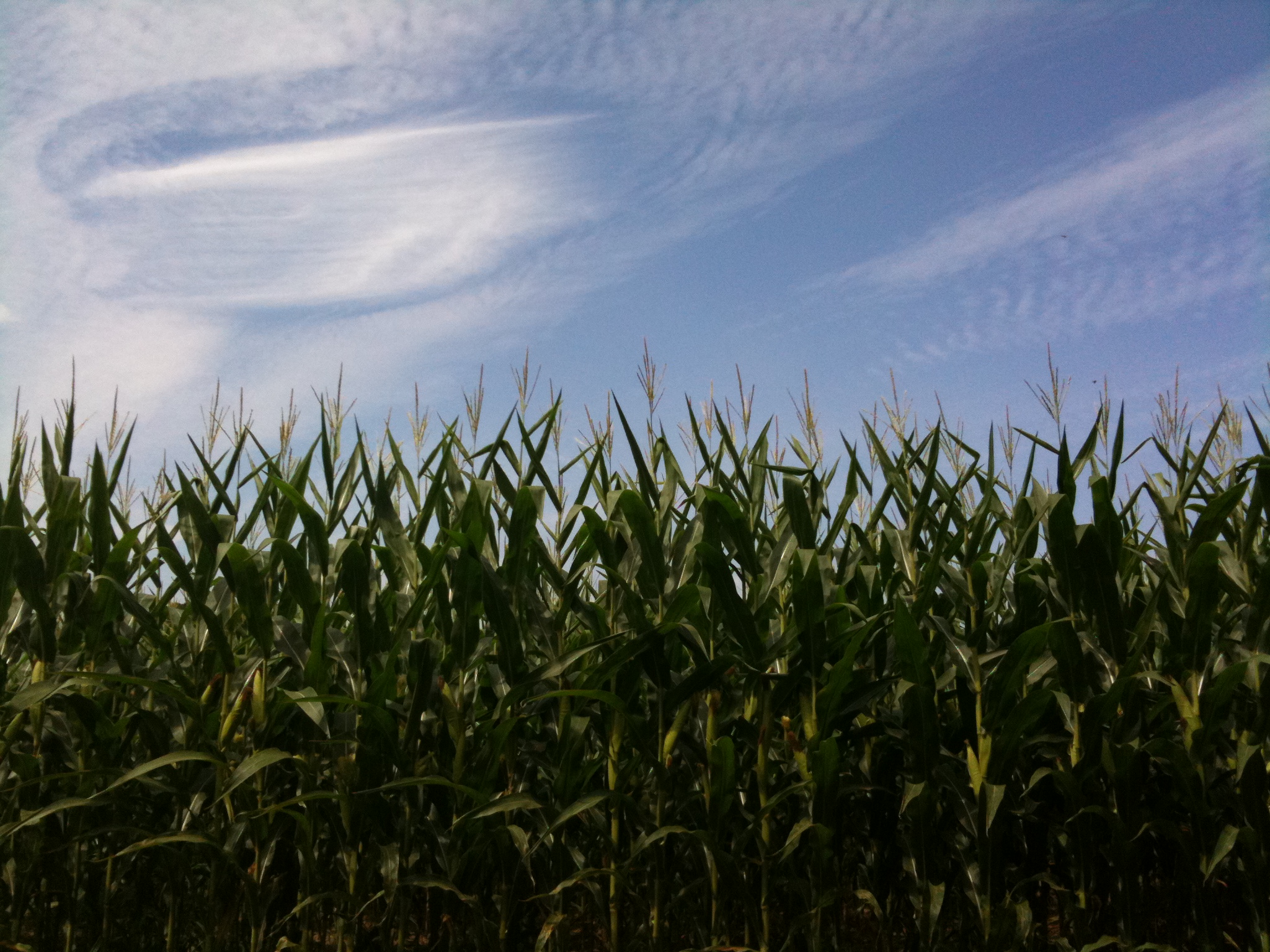
Day 3 of the trip 575

Urieville Lake
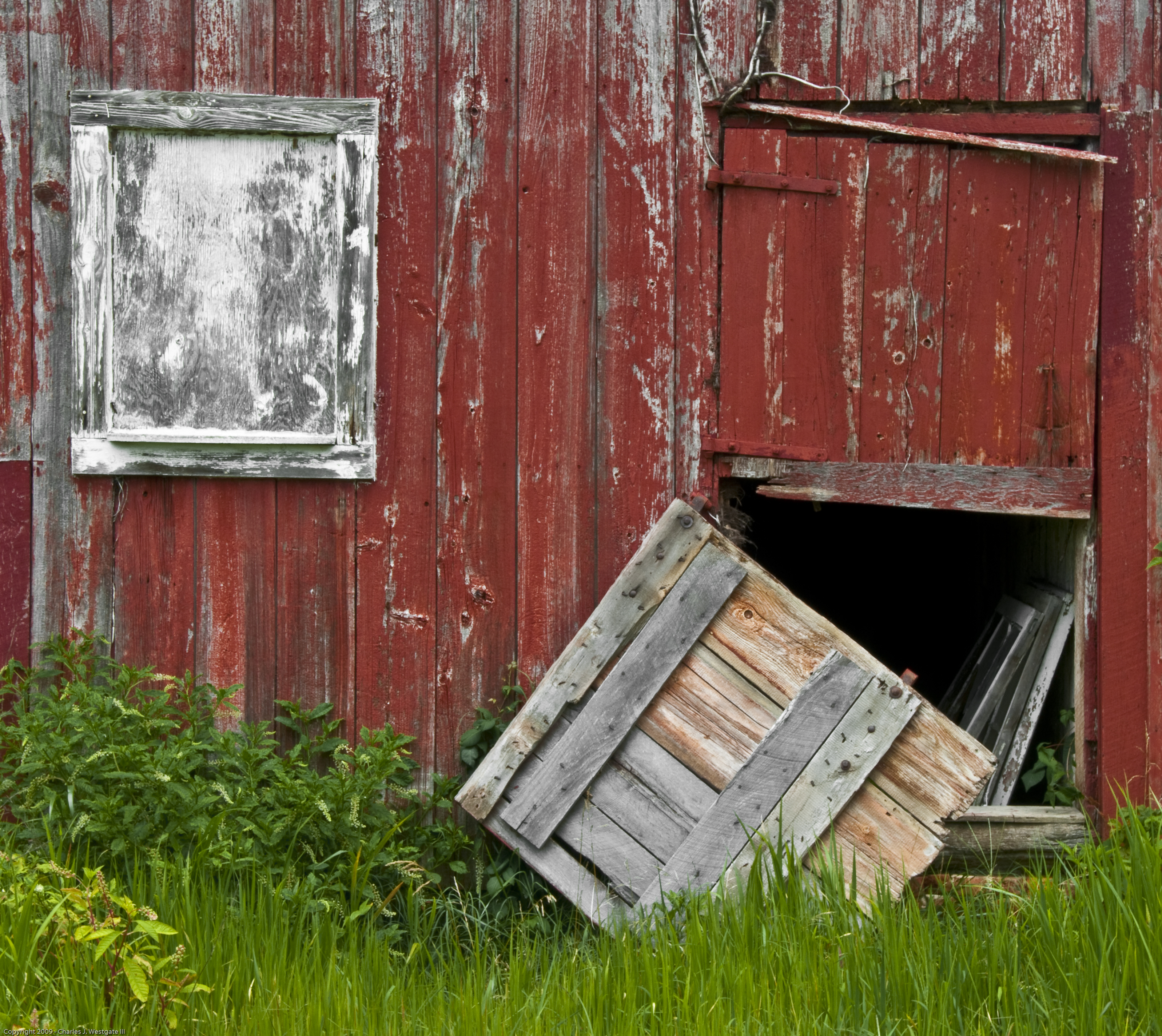
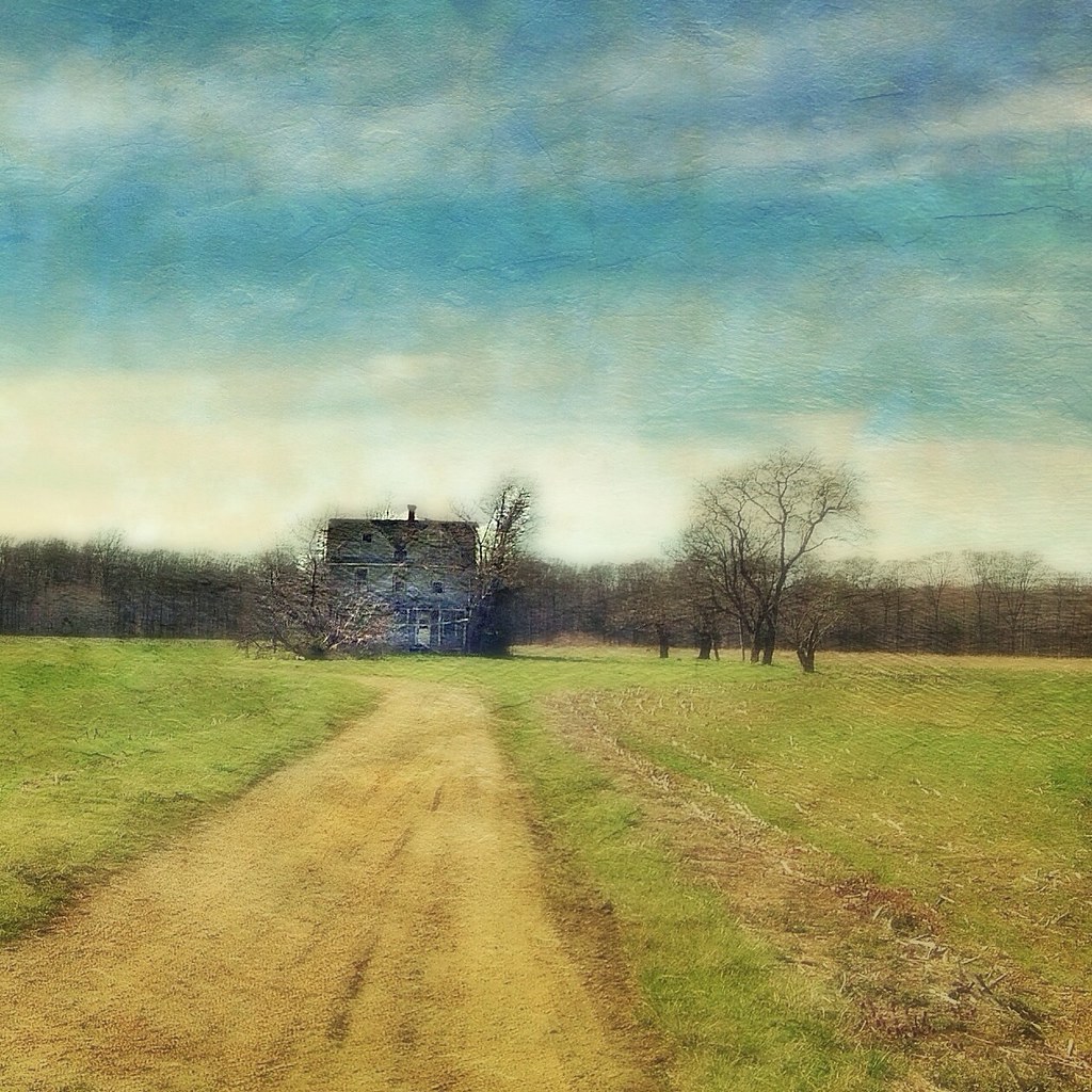
Falling Down
Chester River
Lifebird #548 / #359

Osprey at Chesapeake Farms

Corsica River in Queen Anne's County, Md.

20170720-IMG_2318

20170720-IMG_2239

Bloomfield Farm in Queen Anne's County, Md.

20170720-IMG_2283

20170720-IMG_2337
Topographic Map of Church Hill Rd, Chestertown, MD, USA
Find elevation by address:

Places near Church Hill Rd, Chestertown, MD, USA:
Pine Chip Rd, Chestertown, MD, USA
103 Birch Run Rd
5 Reed Ct
200 Washington Ave
222 Washington Ave
300 Washington Ave
8046 Quaker Neck Rd
114 Cedar St
Washington College
Chestertown
824 High St
119 Conley Dr
4, Chestertown
920 Gateway Dr
Pear Tree Point Rd, Chestertown, MD, USA
Orchard Dr, Chestertown, MD, USA
Augustine Herman Hwy, Chestertown, MD, USA
Chestertown, MD, USA
Camp Rd, Chestertown, MD, USA
27575 Stryckning Rd
Recent Searches:
- Elevation of Sattva Horizon, 4JC6+G9P, Vinayak Nagar, Kattigenahalli, Bengaluru, Karnataka, India
- Elevation of Great Brook Sports, Gold Star Hwy, Groton, CT, USA
- Elevation of 10 Mountain Laurels Dr, Nashua, NH, USA
- Elevation of 16 Gilboa Ln, Nashua, NH, USA
- Elevation of Laurel Rd, Townsend, TN, USA
- Elevation of 3 Nestling Wood Dr, Long Valley, NJ, USA
- Elevation of Ilungu, Tanzania
- Elevation of Yellow Springs Road, Yellow Springs Rd, Chester Springs, PA, USA
- Elevation of Rēzekne Municipality, Latvia
- Elevation of Plikpūrmaļi, Vērēmi Parish, Rēzekne Municipality, LV-, Latvia