Elevation of Church Ave, San Mateo, CA, USA
Location: United States > California > San Mateo County > San Mateo > Shoreview >
Longitude: -122.29772
Latitude: 37.5648147
Elevation: 1m / 3feet
Barometric Pressure: 101KPa
Elevation Map:
Satellite Map:
Related Photos:
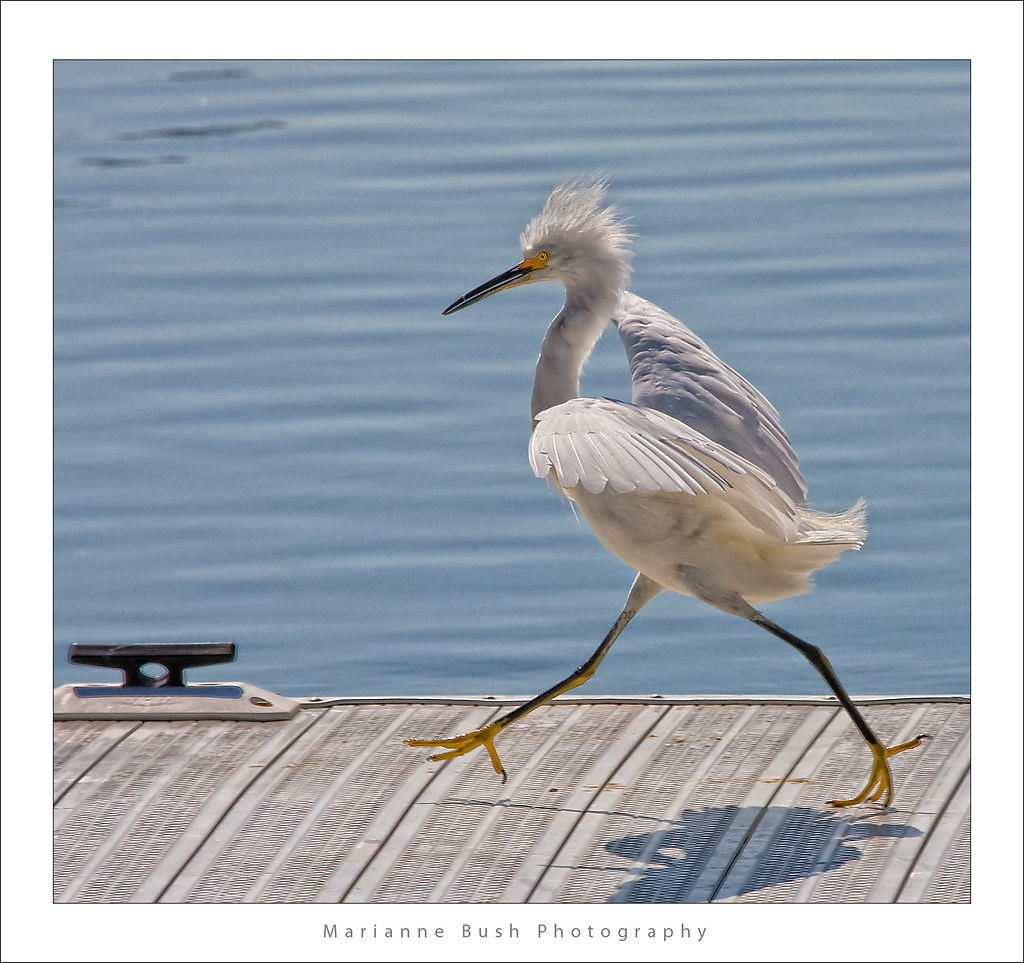
Egret Strut
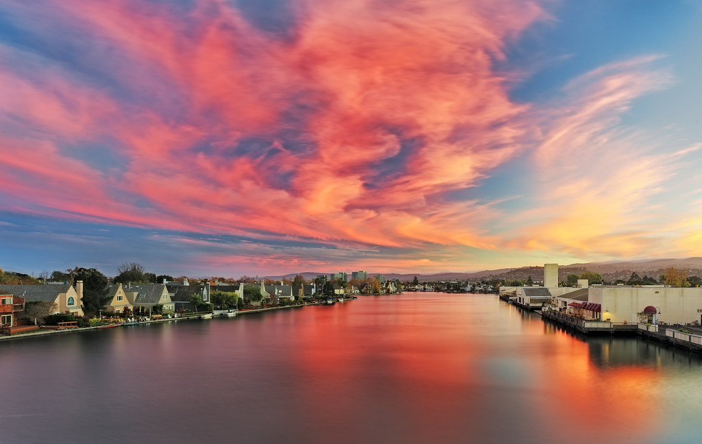
Life is Beautiful
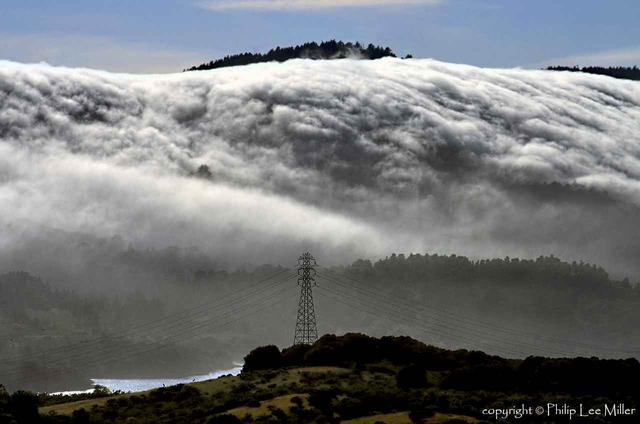
Power Meets Power
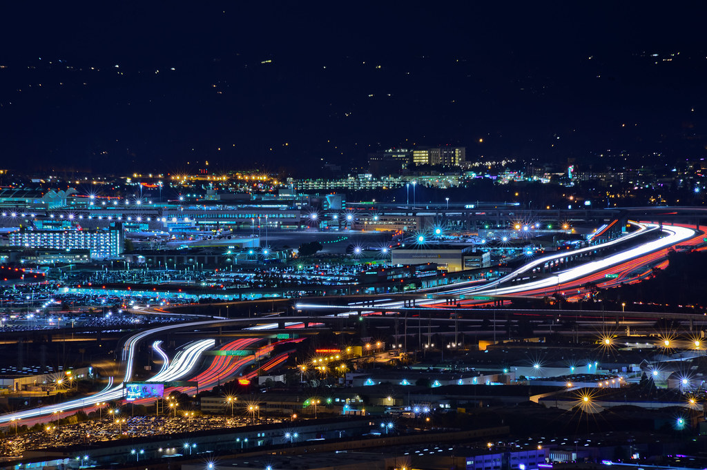
over highway 101s sfo canyon
folds of oblivion
Sun Burn
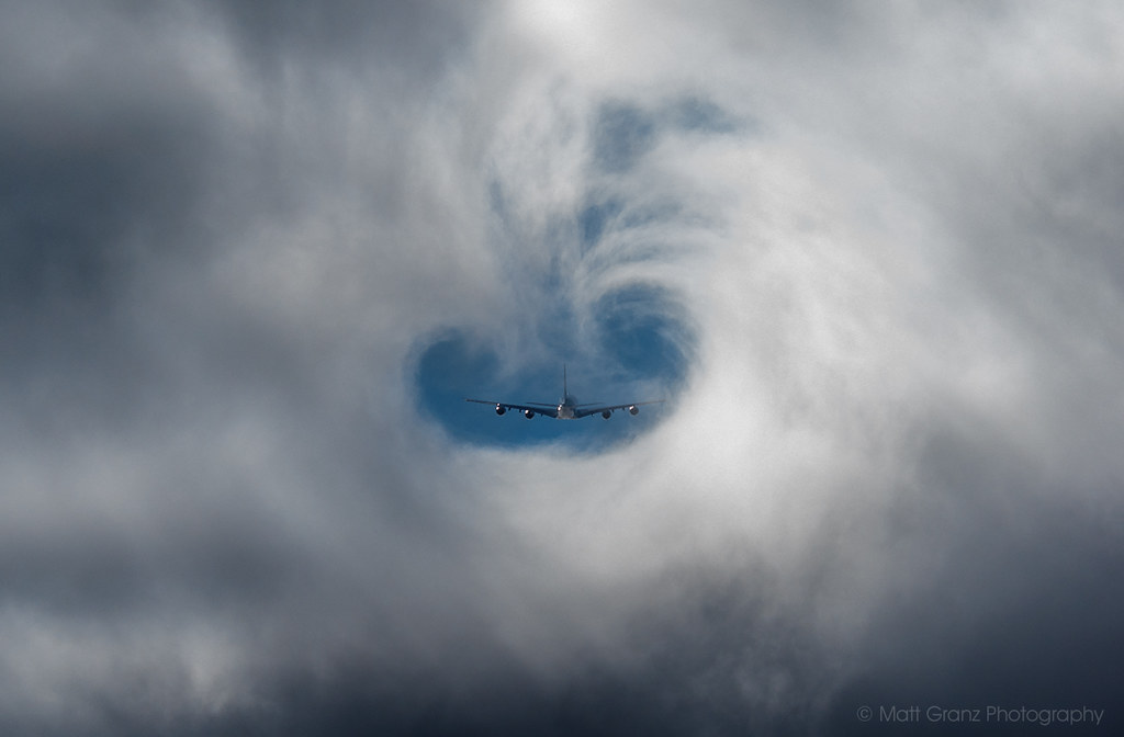
A380 Fog Vortex

The Feather Trees of Planet Skeggs
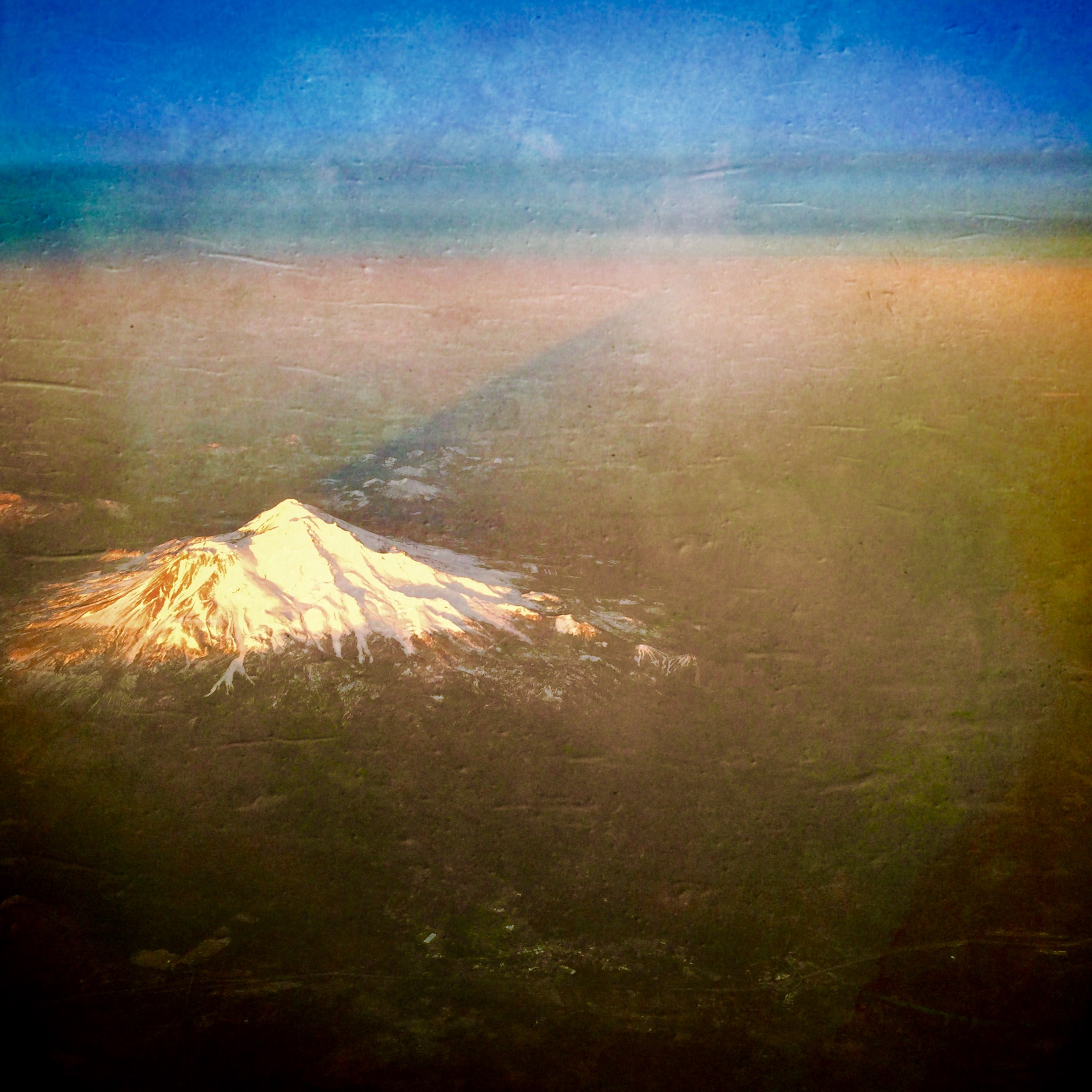
Mount Shasta and her shadow
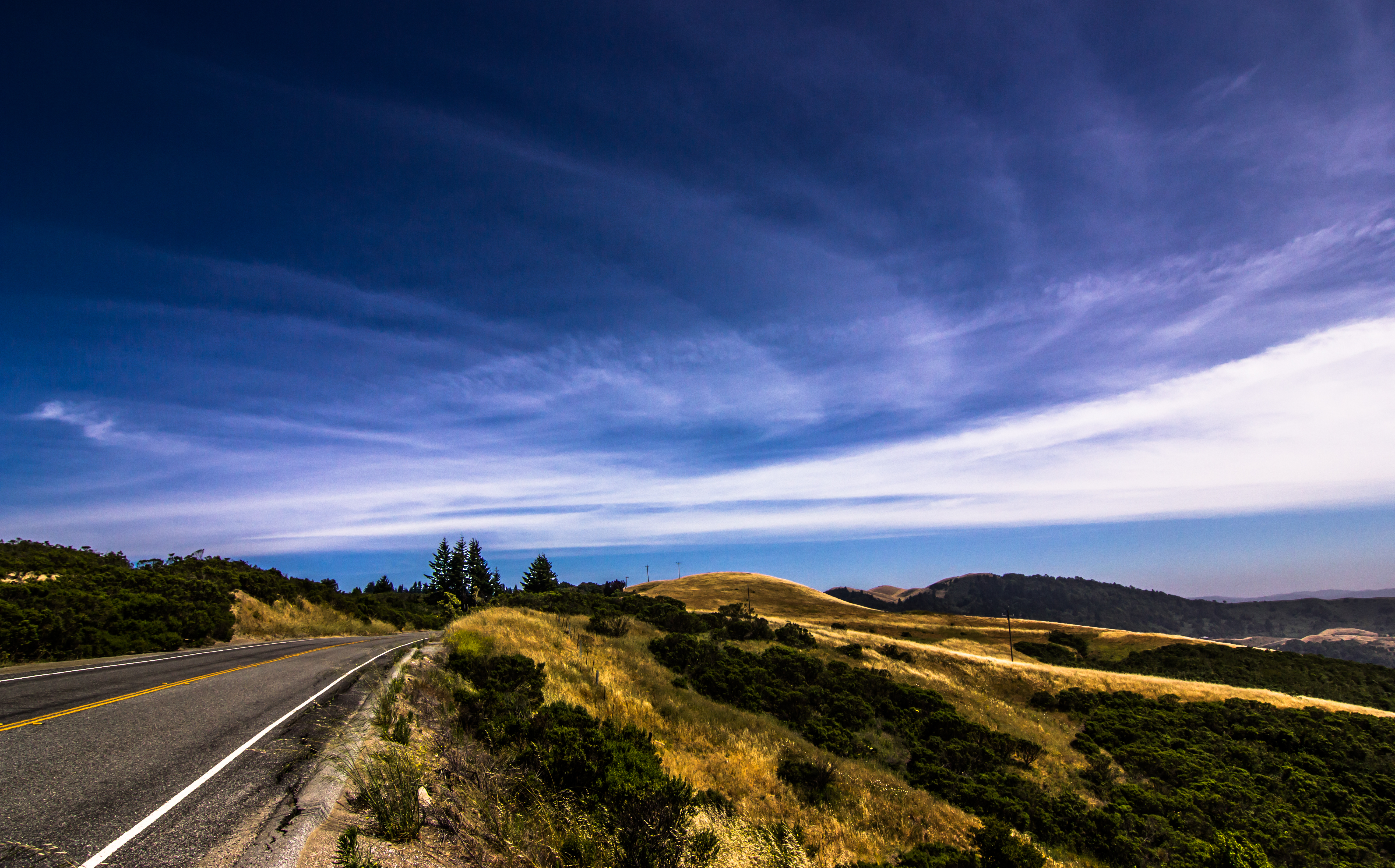
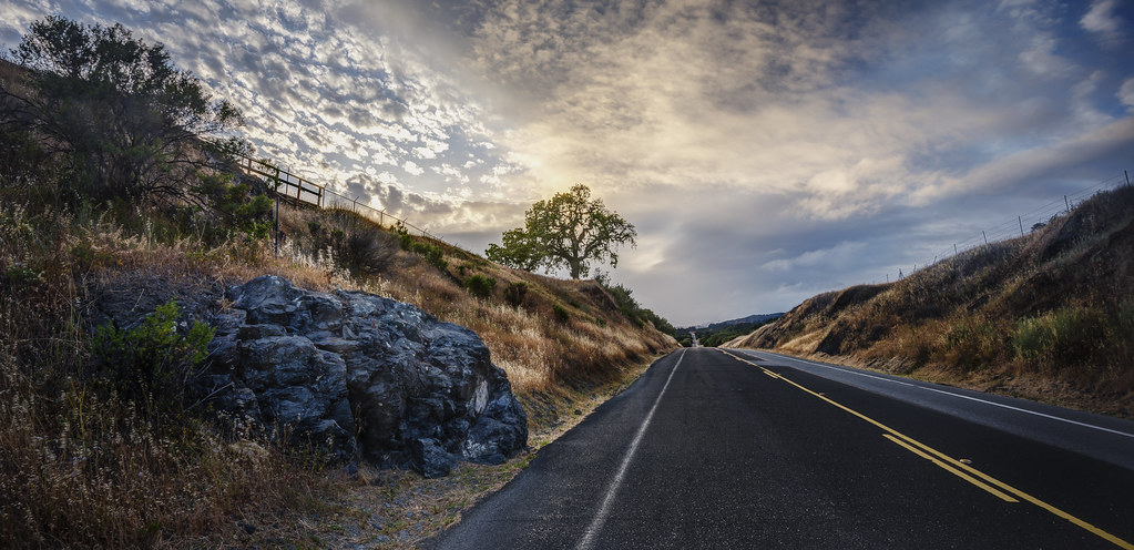
Skyline Boulevard
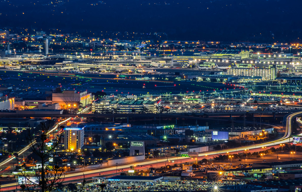
airport travelodge
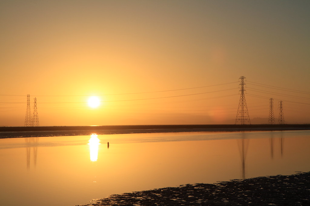
Golden Hour

you're either shooting or you're dead v2.0 {+1 in comments}
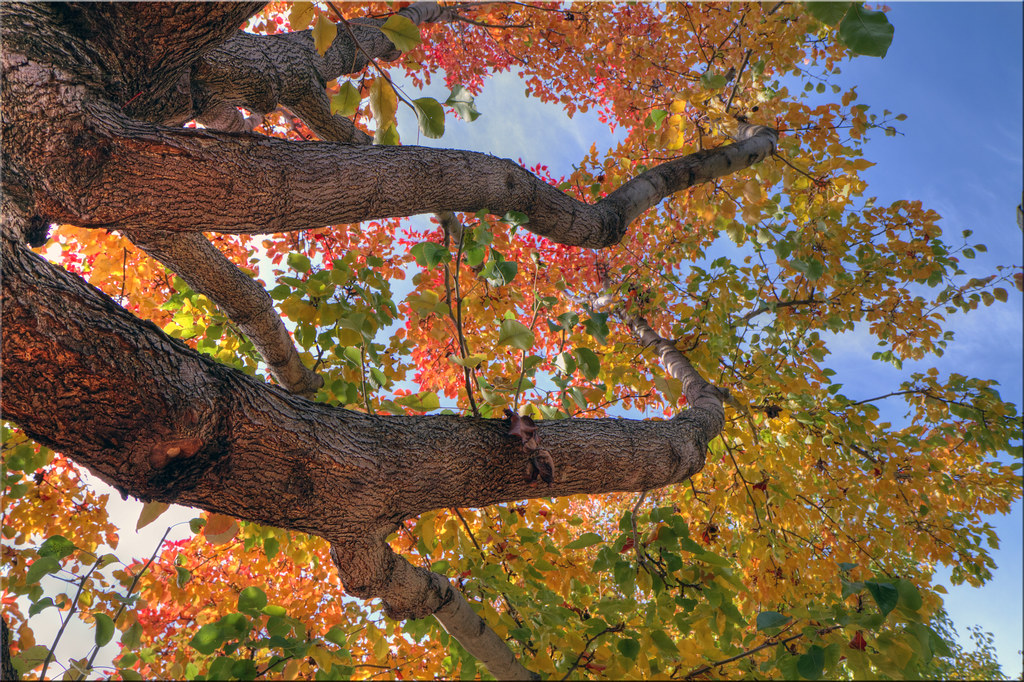
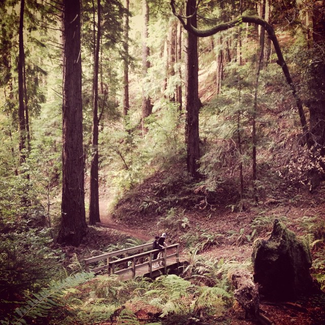
My Tree
Solstice Sunrise
Foster City Autumn

are we there yet?

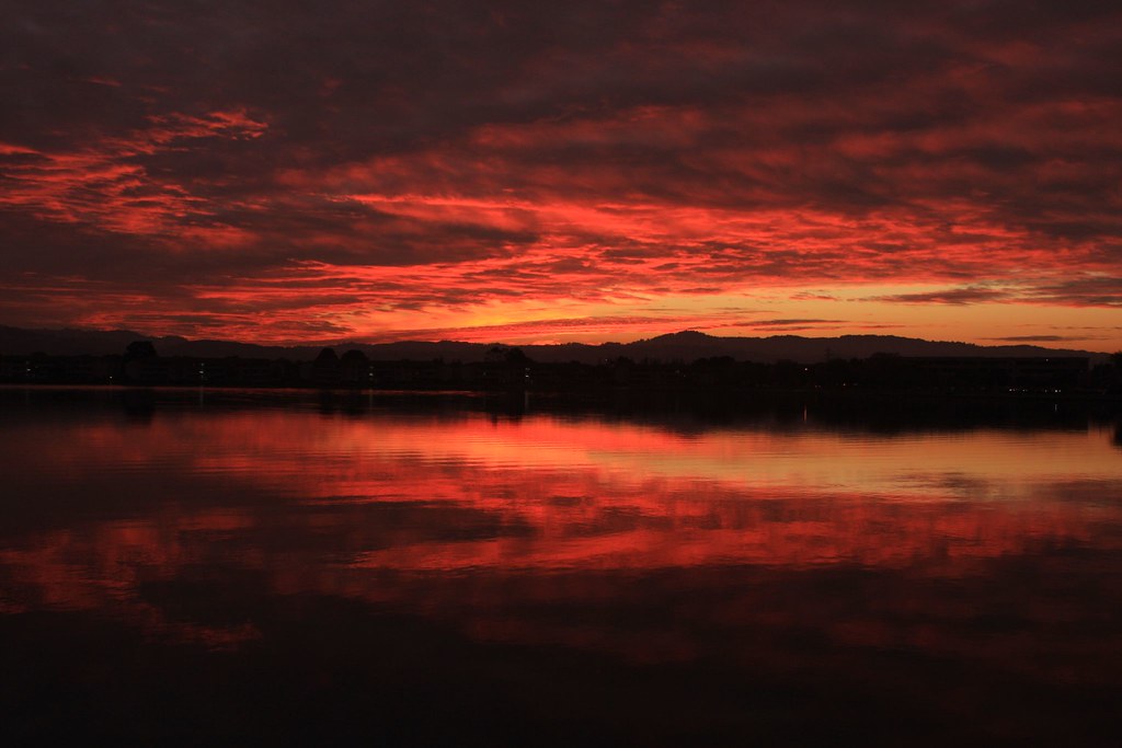
San Carlos Sunset
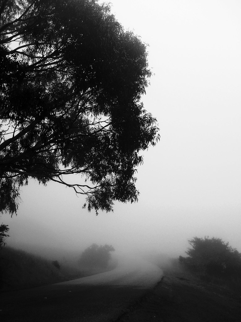
6:15 a.m. Fog
my own sunset strip | emerald lake, ca
On the Bay
Golden Gate National Cemetary
Capturing light.
Quiet Lagoon

Rolling In...
SFO Landings

the hills pulled a blanket of fog over themselves and settled in for the night | san mateo, ca

A little happiness after I miss the shuttle
Halloween Decoration

birds feeding, heavy clouds, no rain, San Francisco Bay

Sunrise over Mount Diablo and San Francisco Bay - Millbrae California

Oyster Point-4-20170319.jpg
san andreas
2014-11-08-DSC_2972
my favorite lone tree | cañada rd

#280 #road #bluesky #california

#Batanes, #Philippines #Stonehouse ver. 2.0.
Worth the 90-min, 45-degree climb uphill.
Topographic Map of Church Ave, San Mateo, CA, USA
Find elevation by address:

Places near Church Ave, San Mateo, CA, USA:
1775 Rex St
Mariners Island Boulevard
Caltrans 101/92 Park & Ride Lot
1400 Fashion Island Blvd
1450 Fashion Island Blvd
400 Mariners Island Blvd
Gilead Sciences, Inc.
2523 Holland St
Hillsdale
780 Sea Spray Ln
611 Altair Ave
East Hillsdale Boulevard
East Hillsdale Boulevard
Figueroa Drive
157 Beach Park Blvd
Hillsdale
Foster City
La Selva Street
16 Poinsettia Ave
501 Cupertino Way
Recent Searches:
- Elevation of Leguwa, Nepal
- Elevation of County Rd, Enterprise, AL, USA
- Elevation of Kolchuginsky District, Vladimir Oblast, Russia
- Elevation of Shustino, Vladimir Oblast, Russia
- Elevation of Lampiasi St, Sarasota, FL, USA
- Elevation of Elwyn Dr, Roanoke Rapids, NC, USA
- Elevation of Congressional Dr, Stevensville, MD, USA
- Elevation of Bellview Rd, McLean, VA, USA
- Elevation of Stage Island Rd, Chatham, MA, USA
- Elevation of Shibuya Scramble Crossing, 21 Udagawacho, Shibuya City, Tokyo -, Japan