Elevation map of Chungcheongnam-do, South Korea
Location: South Korea >
Longitude: 126.8
Latitude: 36.5184
Elevation: 108m / 354feet
Barometric Pressure: 100KPa
Elevation Map:
Satellite Map:
Related Photos:

100118_bangkok_003, Twilight

Stare Off
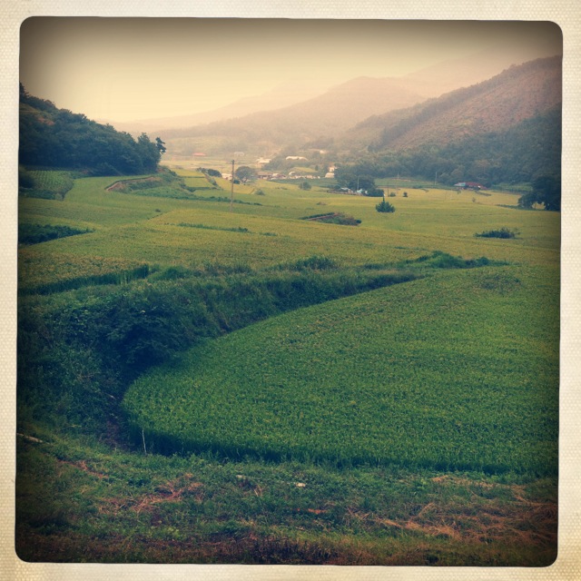
Rice pad #country #green #scenery

논두렁

사진 487
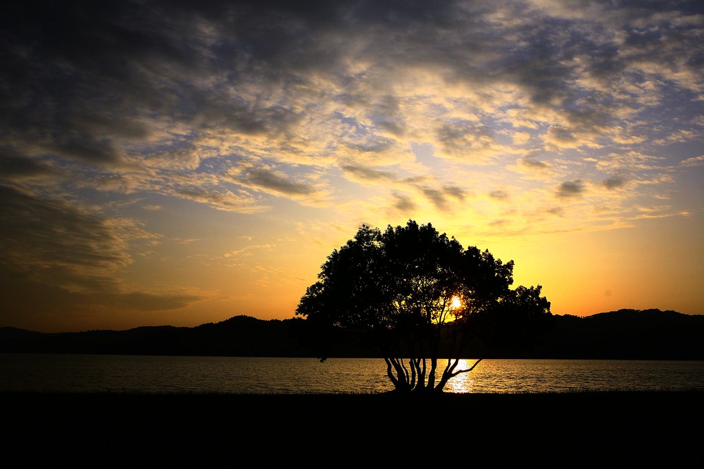
사진 369

벼

벼
일도하고 호연지기도 기르고

노을

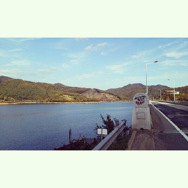
하늘과 논

이런 하늘도 있었고
Topographic Map of Chungcheongnam-do, South Korea
Find elevation by address:

Places in Chungcheongnam-do, South Korea:
Places near Chungcheongnam-do, South Korea:
Gunsan-si
Iksan
Daejeon
Daejeon
Seonyeon-ri
Kunsan Air Base
Cheongwon-gun
Jeonju-si
Jeollabuk-do
South Korea
Namwon-si
Gwangju
Gurye-gun
Recent Searches:
- Elevation of Fern Rd, Whitmore, CA, USA
- Elevation of 62 Abbey St, Marshfield, MA, USA
- Elevation of Fernwood, Bradenton, FL, USA
- Elevation of Felindre, Swansea SA5 7LU, UK
- Elevation of Leyte Industrial Development Estate, Isabel, Leyte, Philippines
- Elevation of W Granada St, Tampa, FL, USA
- Elevation of Pykes Down, Ivybridge PL21 0BY, UK
- Elevation of Jalan Senandin, Lutong, Miri, Sarawak, Malaysia
- Elevation of Bilohirs'k
- Elevation of 30 Oak Lawn Dr, Barkhamsted, CT, USA