Elevation of Chuadanga Sadar Upazila, Bangladesh
Location: Bangladesh > Khulna Division > Chuadanga District >
Longitude: 88.8838834
Latitude: 23.59267
Elevation: 13m / 43feet
Barometric Pressure: 101KPa
Elevation Map:
Satellite Map:
Related Photos:

WP_20140215_001

Beautiful countryside of Bangladesh

Need A Driver

Darshana Rail Station

Bangladesh Dancer

Kotaly High School
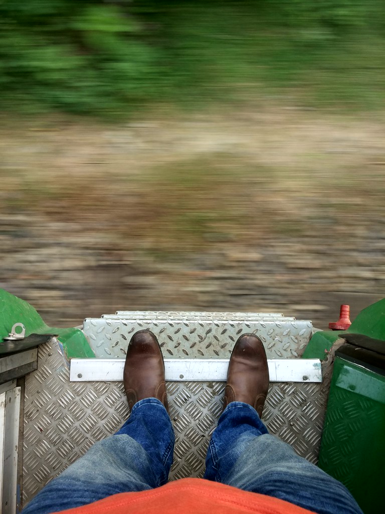
Moving Ground.

Sqirrel & Coconut tree

Labib & me

Labib & Muttakin
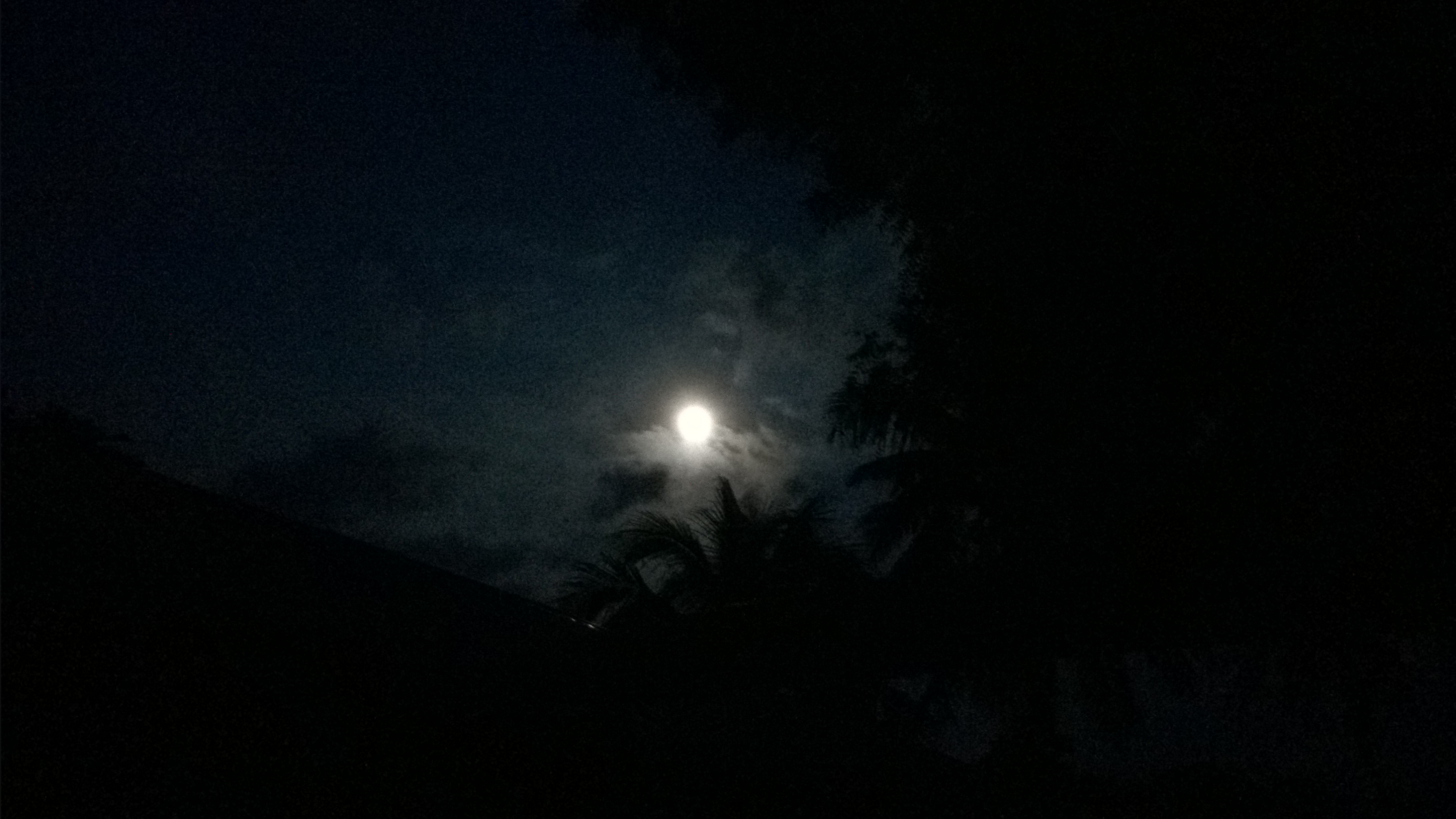
Moon (1)

Moon (2)

Moon (4)

Moon (5)

গায়ে হলুদের ক্ষির

WP_20140803_003 (2)
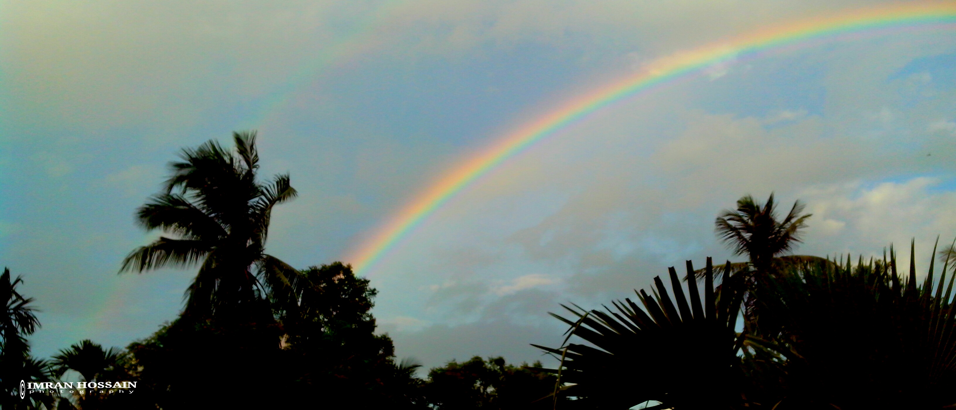
...রঙকন্যা (Rainbow) ...

Cableless post

Dingedah Fisheries

Local Shopkeeper

Village Boy

Handmade bag
Topographic Map of Chuadanga Sadar Upazila, Bangladesh
Find elevation by address:

Places near Chuadanga Sadar Upazila, Bangladesh:
Chuadanga
Chuadanga District
Joyrampur
Damurhuda Upazila
Alamdanga Upazila
Alamdanga P. S.
Alamdanga
Harinakunda Upazila
Gangni
Tribeni
Jhenaidah Sadar Upazila
Jhenaidah District
Shantidanga
Meherpur Sadar Upazila
Meherpur District
Meherpur
Sreemantapur
Shailkupa
Kushtia District
Kushtia District Stadium
Recent Searches:
- Elevation of Vista Blvd, Sparks, NV, USA
- Elevation of 15th Ave SE, St. Petersburg, FL, USA
- Elevation of Beall Road, Beall Rd, Florida, USA
- Elevation of Leguwa, Nepal
- Elevation of County Rd, Enterprise, AL, USA
- Elevation of Kolchuginsky District, Vladimir Oblast, Russia
- Elevation of Shustino, Vladimir Oblast, Russia
- Elevation of Lampiasi St, Sarasota, FL, USA
- Elevation of Elwyn Dr, Roanoke Rapids, NC, USA
- Elevation of Congressional Dr, Stevensville, MD, USA