Elevation of Chitta Katha Lake
Longitude: 74.5214267
Latitude: 34.9196287
Elevation: 4046m / 13274feet
Barometric Pressure: 61KPa
Elevation Map:
Satellite Map:
Related Photos:
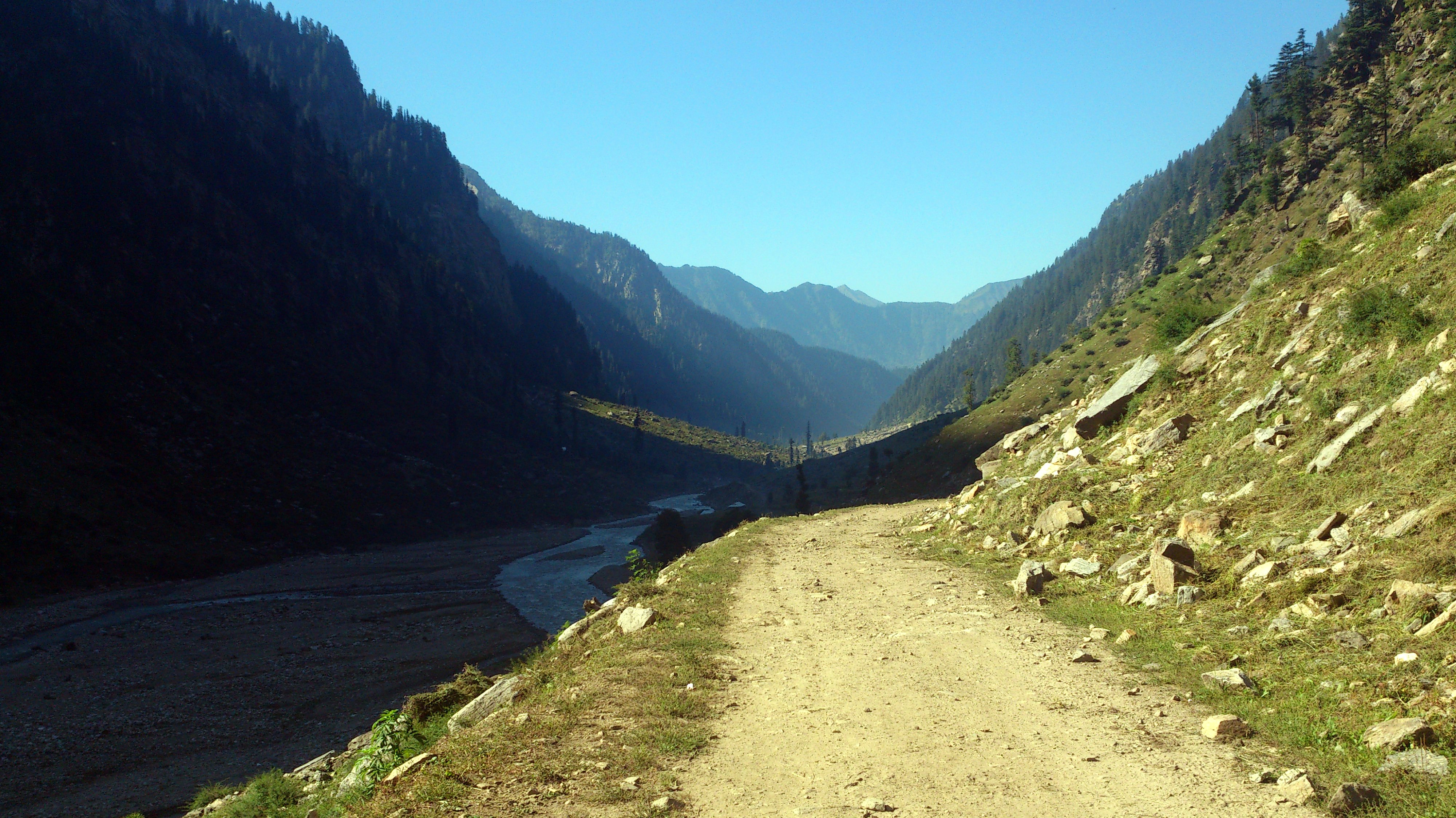
Shounter Valley
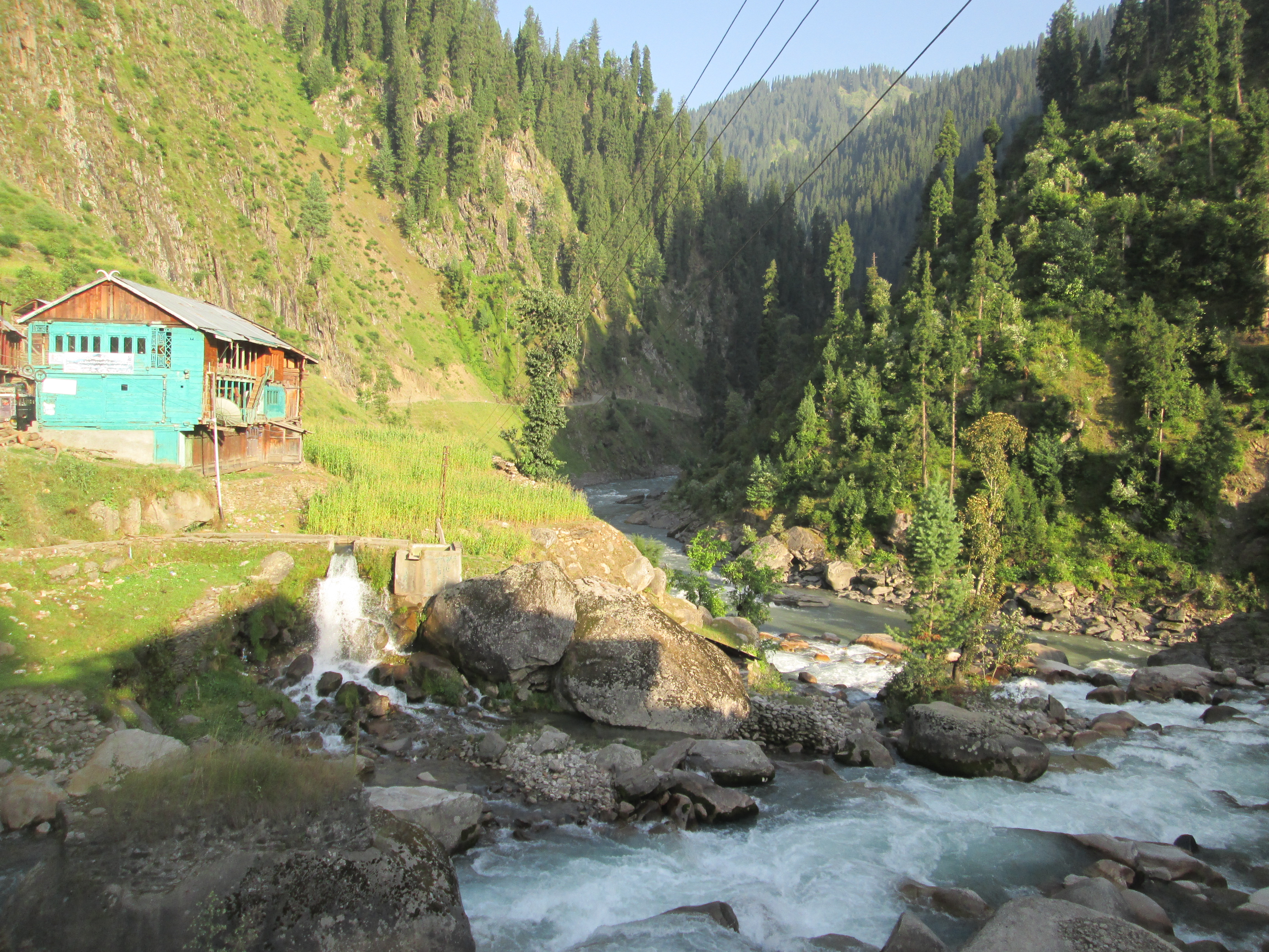
pullawai, gurez ajk
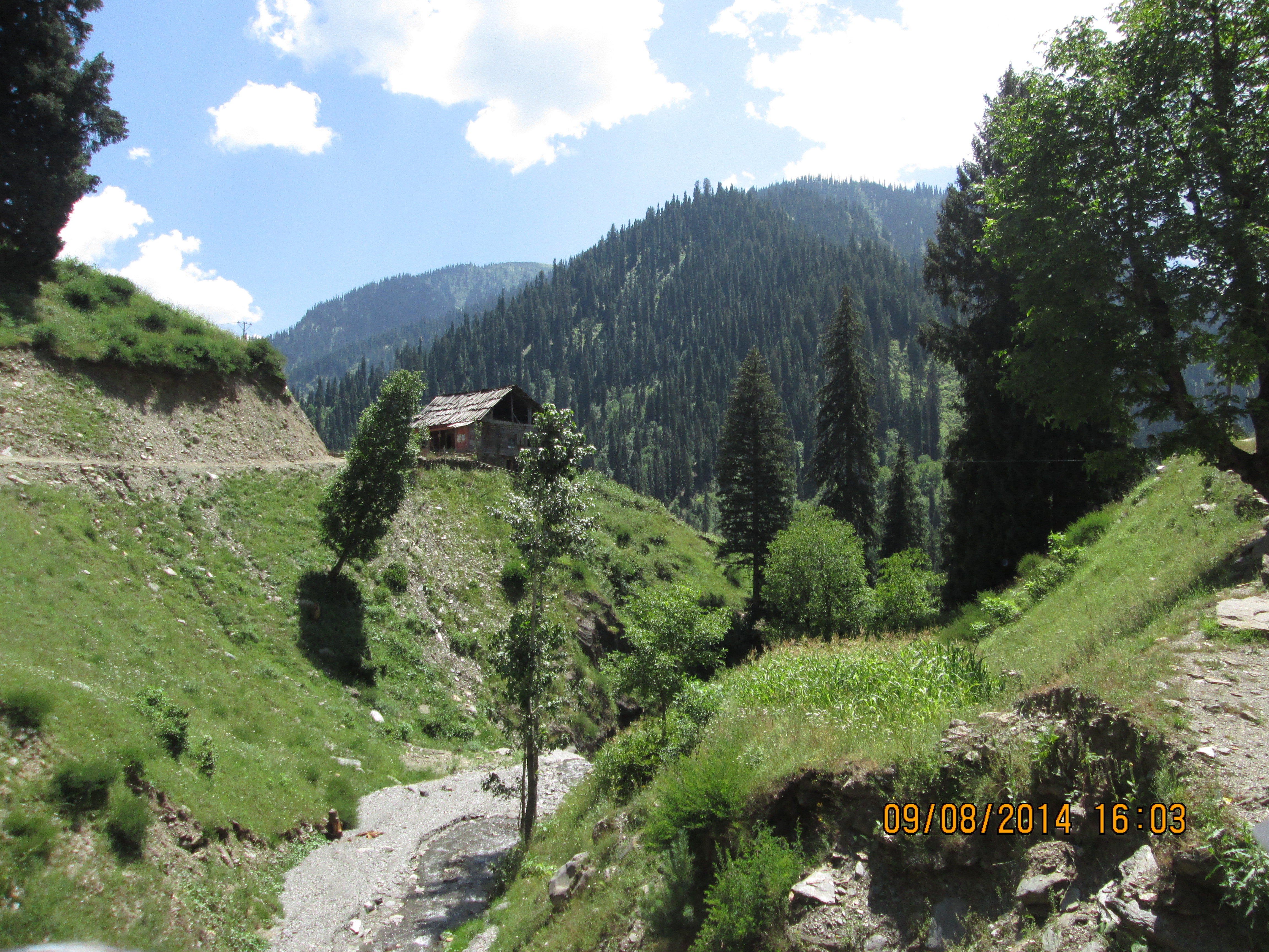
near janwai, ajk
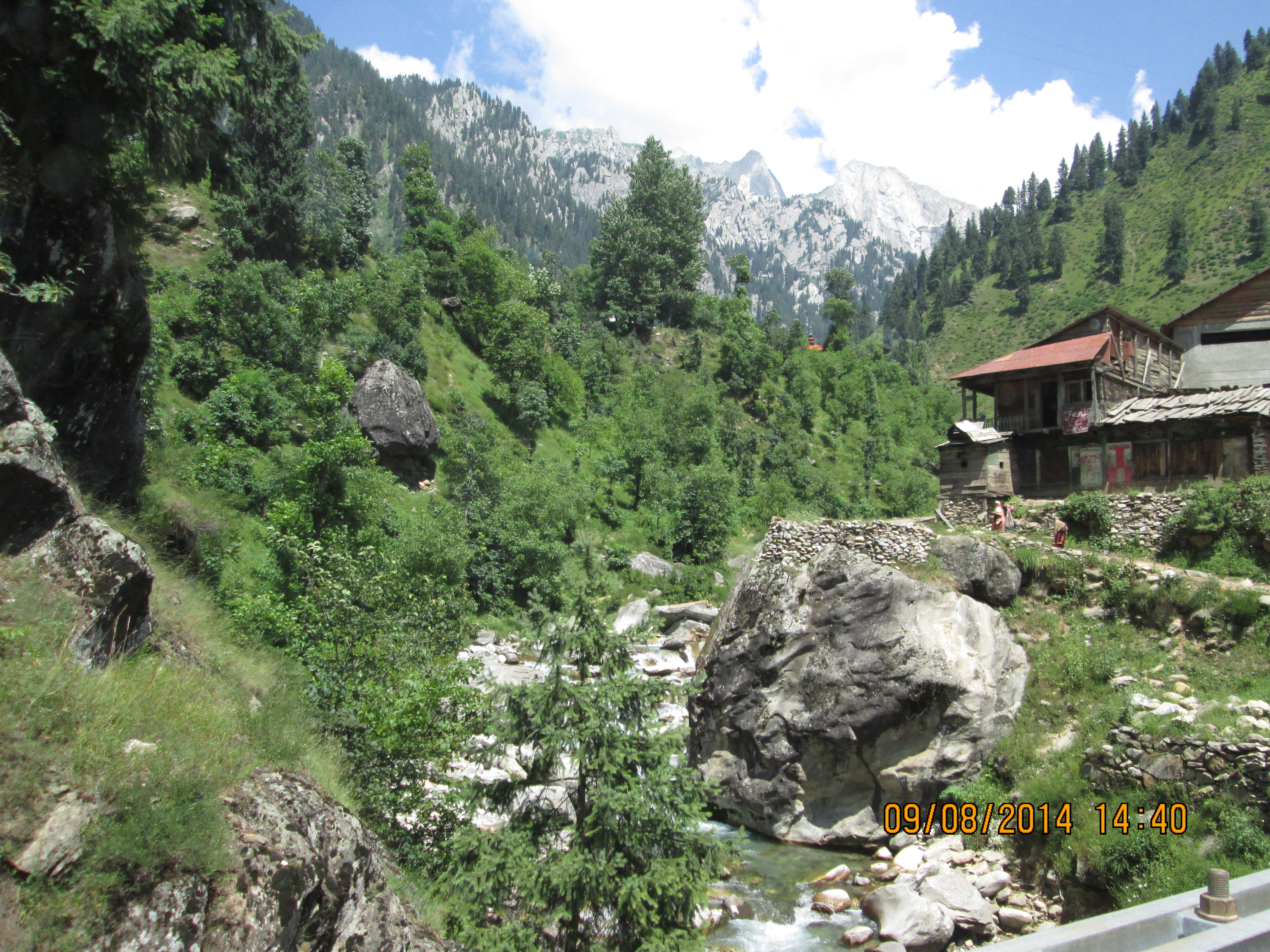
janwai, kashmir
Topographic Map of Chitta Katha Lake
Find elevation by address:

Places near Chitta Katha Lake:
Chitta Katha
Kel
Saral Lake
Dudipat Lake
Gattian Lake
Noori Top
Sambaksar Lake
Ratti Gali Lake
Hans Raj Kala Sar
Kupwara District Hospital
Kupwara
Babusar Pass
Babusar Top, Naran
Lulusar-dudipatsar National Park
Lalazar Lake
Kupwara
Sopore
Neelam Valley
Old Town
Baramulla Bridge
Recent Searches:
- Elevation of W Granada St, Tampa, FL, USA
- Elevation of Pykes Down, Ivybridge PL21 0BY, UK
- Elevation of Jalan Senandin, Lutong, Miri, Sarawak, Malaysia
- Elevation of Bilohirs'k
- Elevation of 30 Oak Lawn Dr, Barkhamsted, CT, USA
- Elevation of Luther Road, Luther Rd, Auburn, CA, USA
- Elevation of Unnamed Road, Respublika Severnaya Osetiya — Alaniya, Russia
- Elevation of Verkhny Fiagdon, North Ossetia–Alania Republic, Russia
- Elevation of F. Viola Hiway, San Rafael, Bulacan, Philippines
- Elevation of Herbage Dr, Gulfport, MS, USA