Elevation of Chitral Airport, Airport Rd, Chitrāl, Chitral, Khyber Pakhtunkhwa, Pakistan
Location: Pakistan > Khyber Pakhtunkhwa > Chitral > Chitral >
Longitude: 71.799722
Latitude: 35.886111
Elevation: 1486m / 4875feet
Barometric Pressure: 85KPa
Elevation Map:
Satellite Map:
Related Photos:

A Kalasha girl wearing traditional dress
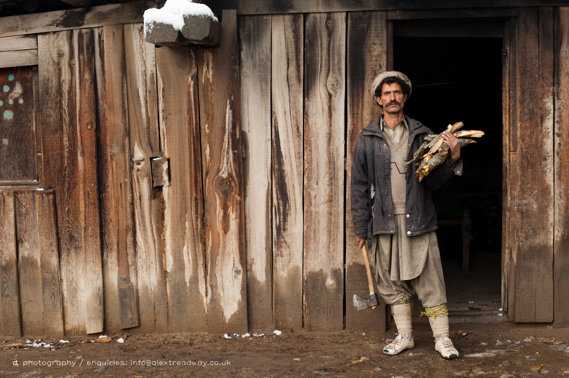
A Kalasha man carrying firewood and a axe

Wrapped up to keep warm in Chitral

Pakistan_1992_005 View from Chitral Summer Palace (HE-11)

Pakistan_1992_006 View from Chitral Summer Palace (HE-13)

Houses of Rumbur

Chitral City

Gol National Park, Chitral, KPK, Pakistan

Chitral River near Ayun

Road to Gol National Park

Chitralian Zubair | Travel To Melph
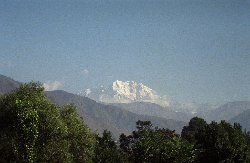
Tirich Mir seen from Chitral, Pakistan

Pakistan_1992_007 Tirich Mir from Chitral Summer Palace (HE-14)

Tirich Mir

Chitralian Zubair

Shahi Masjid & Tirich Mir
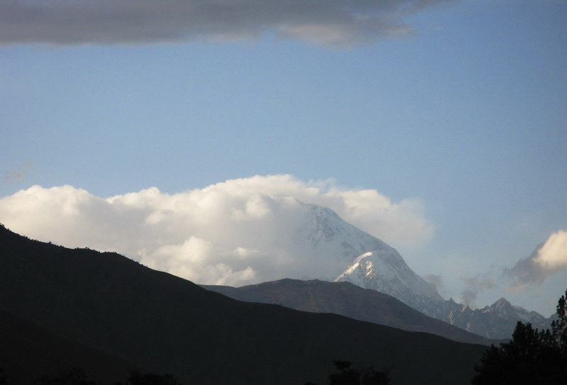
Tirich Mir

Polo ground in Chitral

All Photos-337

All Photos-338

All Photos-339

All Photos-336
Topographic Map of Chitral Airport, Airport Rd, Chitrāl, Chitral, Khyber Pakhtunkhwa, Pakistan
Find elevation by address:

Places near Chitral Airport, Airport Rd, Chitrāl, Chitral, Khyber Pakhtunkhwa, Pakistan:
M.c Chitral
Chitral
Chitral
Police Checkpost Bumburet Valley
Bumburet Valley Bridge
Ayun
Ayun
Karimabad
Kiyar
University Of Chitral
Drosh
Tirich Mir
Chitral
Ghochhar Sar
Ishporili Glacier
Istor-o-nal
Lowari Tunnel Road
Lowari Tunnel
Lowari Tunnel
Lowari Tunnel
Recent Searches:
- Elevation of Elwyn Dr, Roanoke Rapids, NC, USA
- Elevation of Congressional Dr, Stevensville, MD, USA
- Elevation of Bellview Rd, McLean, VA, USA
- Elevation of Stage Island Rd, Chatham, MA, USA
- Elevation of Shibuya Scramble Crossing, 21 Udagawacho, Shibuya City, Tokyo -, Japan
- Elevation of Jadagoniai, Kaunas District Municipality, Lithuania
- Elevation of Pagonija rock, Kranto 7-oji g. 8"N, Kaunas, Lithuania
- Elevation of Co Rd 87, Jamestown, CO, USA
- Elevation of Tenjo, Cundinamarca, Colombia
- Elevation of Côte-des-Neiges, Montreal, QC H4A 3J6, Canada