Elevation of Chirin, Ecuador
Location: Ecuador > Cañar Province > Cañar >
Longitude: -79.116667
Latitude: -2.583333
Elevation: 3703m / 12149feet
Barometric Pressure: 64KPa
Elevation Map:
Satellite Map:
Related Photos:

ecuadorian highlands

Yellow Orchids

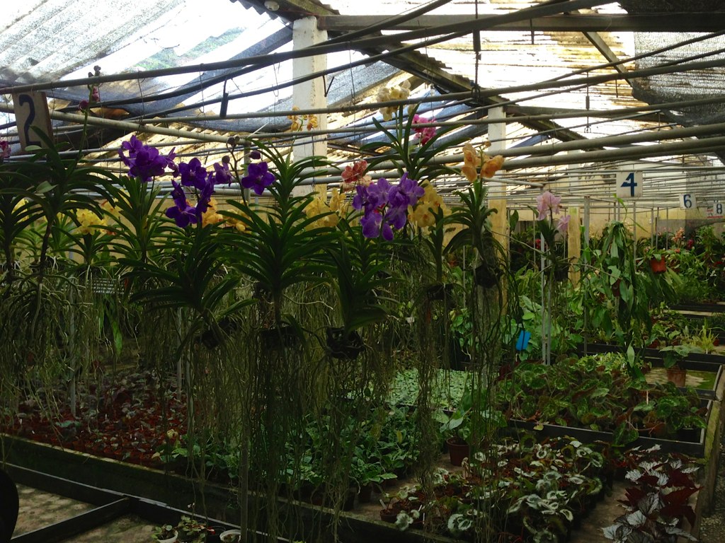
Orchid Farm

Small Orchids

Black Orchid and Stamen

Pink and White Orchids

White Orchid

Pink Orchids

Close-Up of Orchid
Orchids at Farm

Close-Up of Orchid

Orchid Starts
Topographic Map of Chirin, Ecuador
Find elevation by address:

Places near Chirin, Ecuador:
Buquiar
Cañar
Zhud
Cañar Province
Dos Chorreras Restaurant
Santuario De La Vírgen Del Cajas
Laguna Toreadora
Mirador Tres Cruces
Ingapirca
Posada Ingapirca
Cuenca
Iglesia Católica De San Alfonso - Cojitambo
Cojitambo
E582
Chunchi
Cumanda
Paute
Sibambe
Alausi
Carretera Panamericana
Recent Searches:
- Elevation of Tenjo, Cundinamarca, Colombia
- Elevation of Côte-des-Neiges, Montreal, QC H4A 3J6, Canada
- Elevation of Bobcat Dr, Helena, MT, USA
- Elevation of Zu den Ihlowbergen, Althüttendorf, Germany
- Elevation of Badaber, Peshawar, Khyber Pakhtunkhwa, Pakistan
- Elevation of SE Heron Loop, Lincoln City, OR, USA
- Elevation of Slanický ostrov, 01 Námestovo, Slovakia
- Elevation of Spaceport America, Co Rd A, Truth or Consequences, NM, USA
- Elevation of Warwick, RI, USA
- Elevation of Fern Rd, Whitmore, CA, USA