Elevation map of Chinandega, Nicaragua
Location: Nicaragua >
Longitude: -87.142289
Latitude: 12.8820062
Elevation: 4m / 13feet
Barometric Pressure: 101KPa
Elevation Map:
Satellite Map:
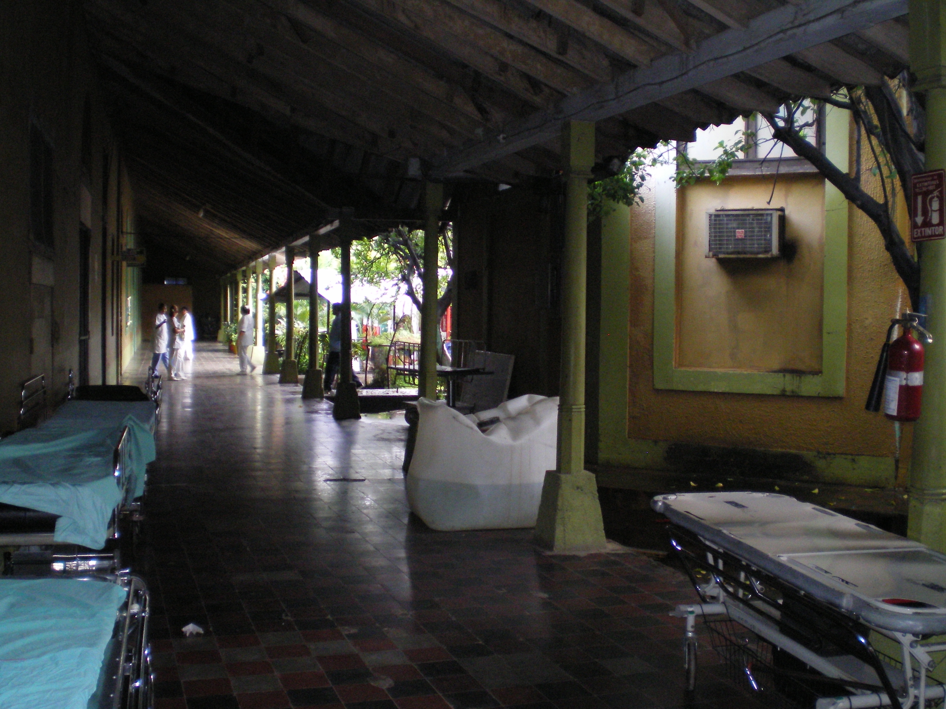
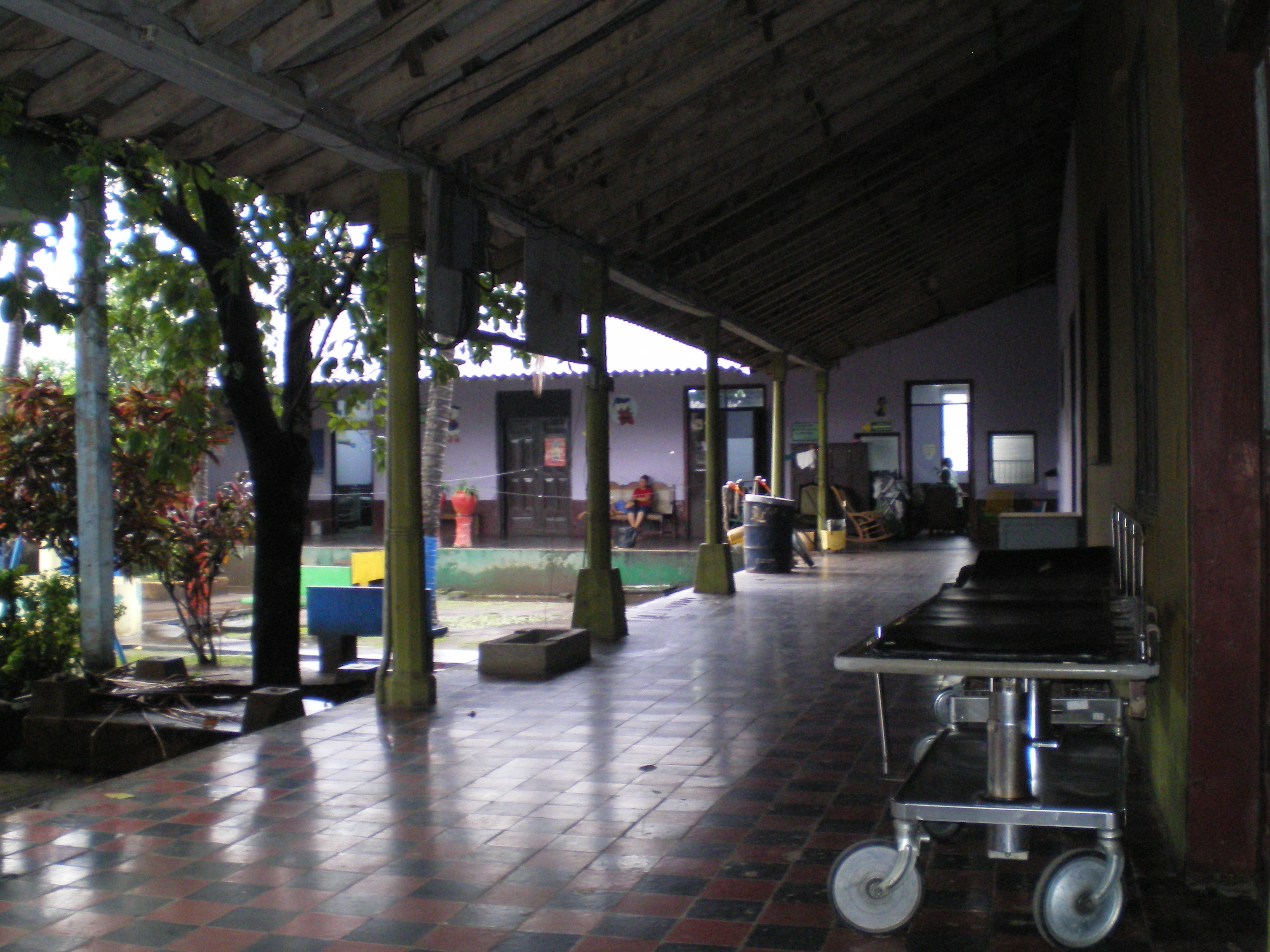
Related Photos:
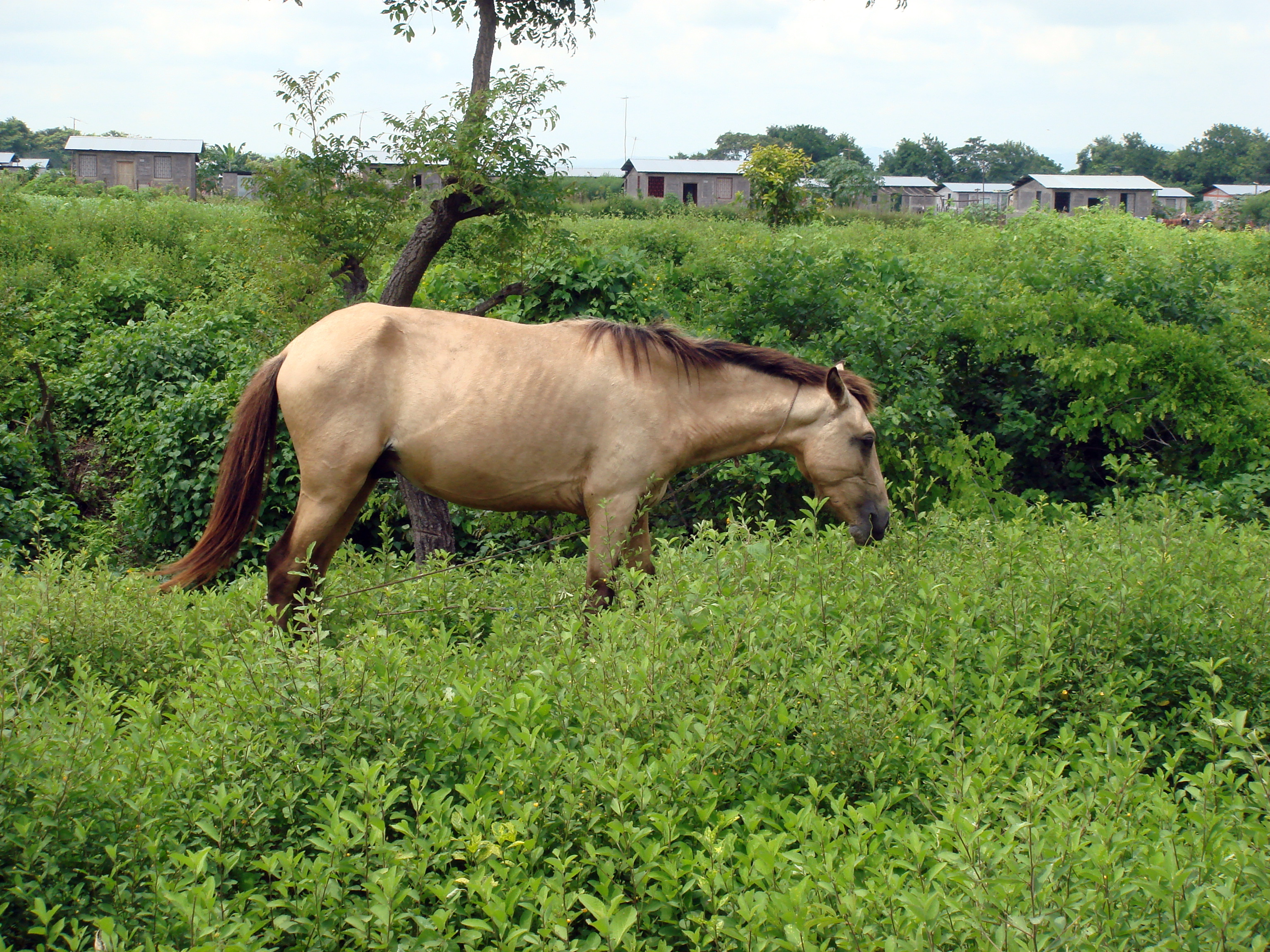
DSC00860
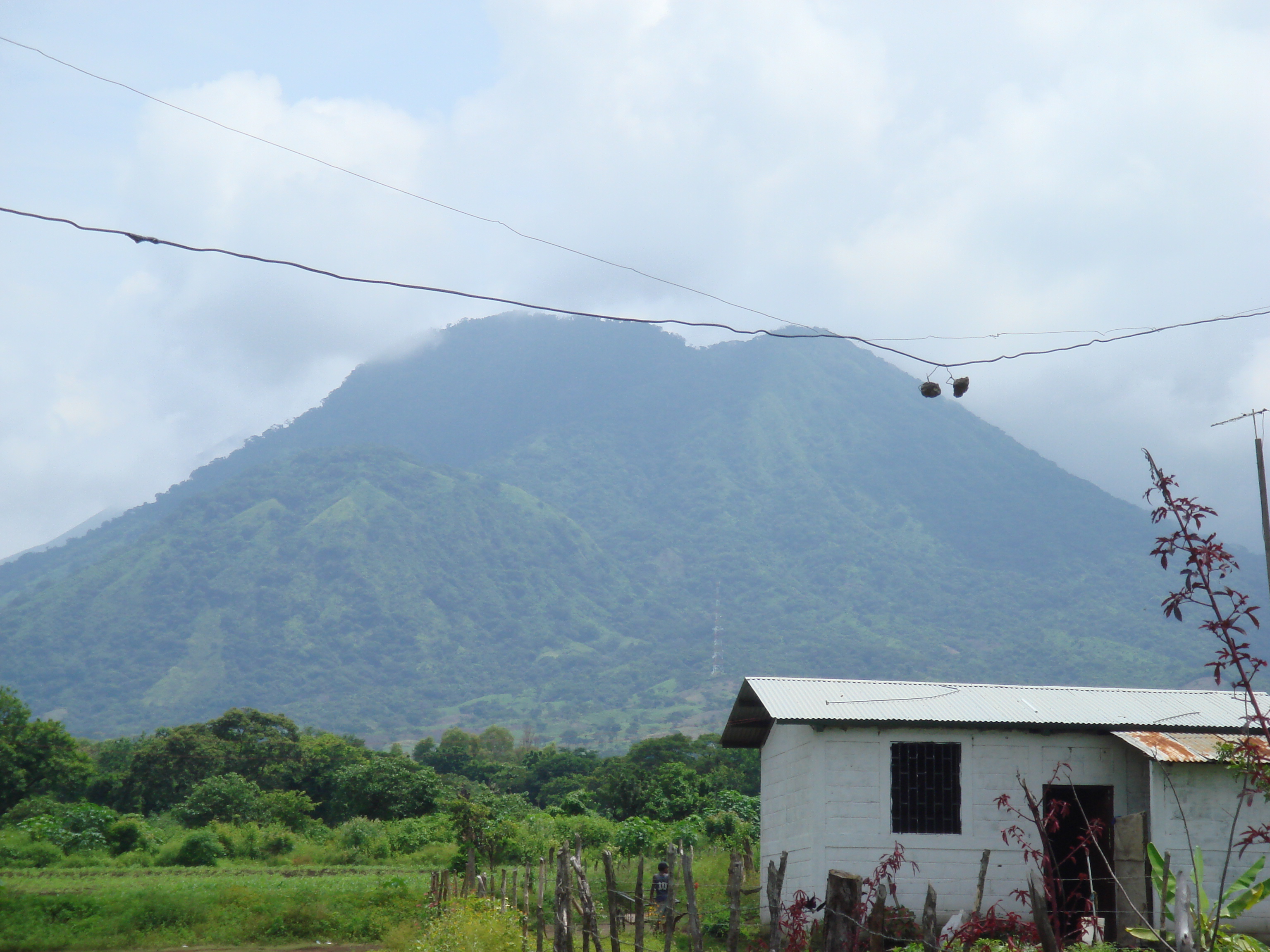
DSC00829

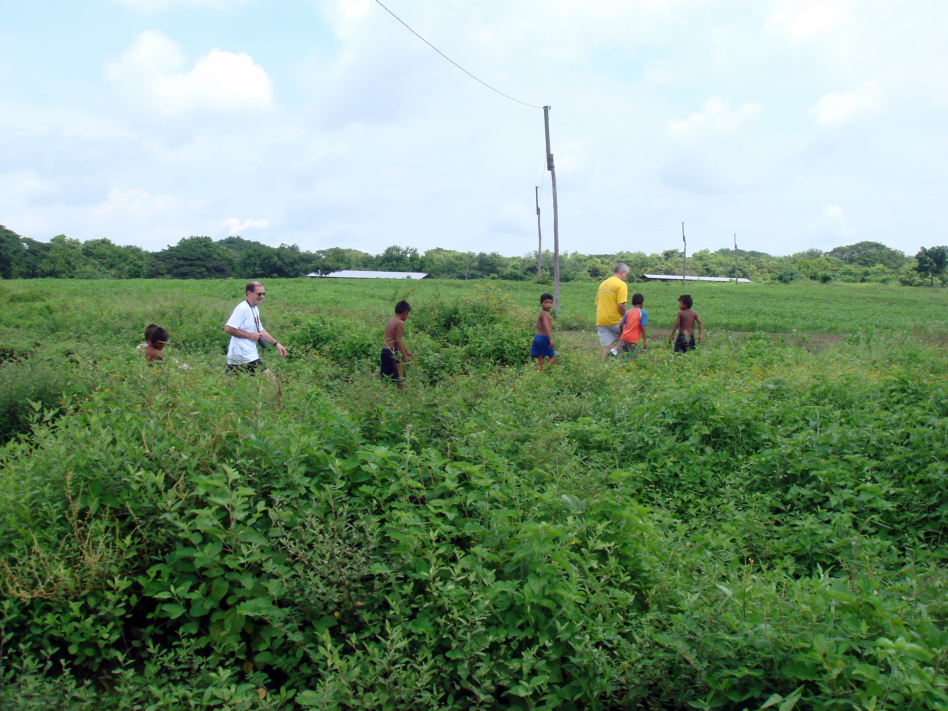
DSC00840
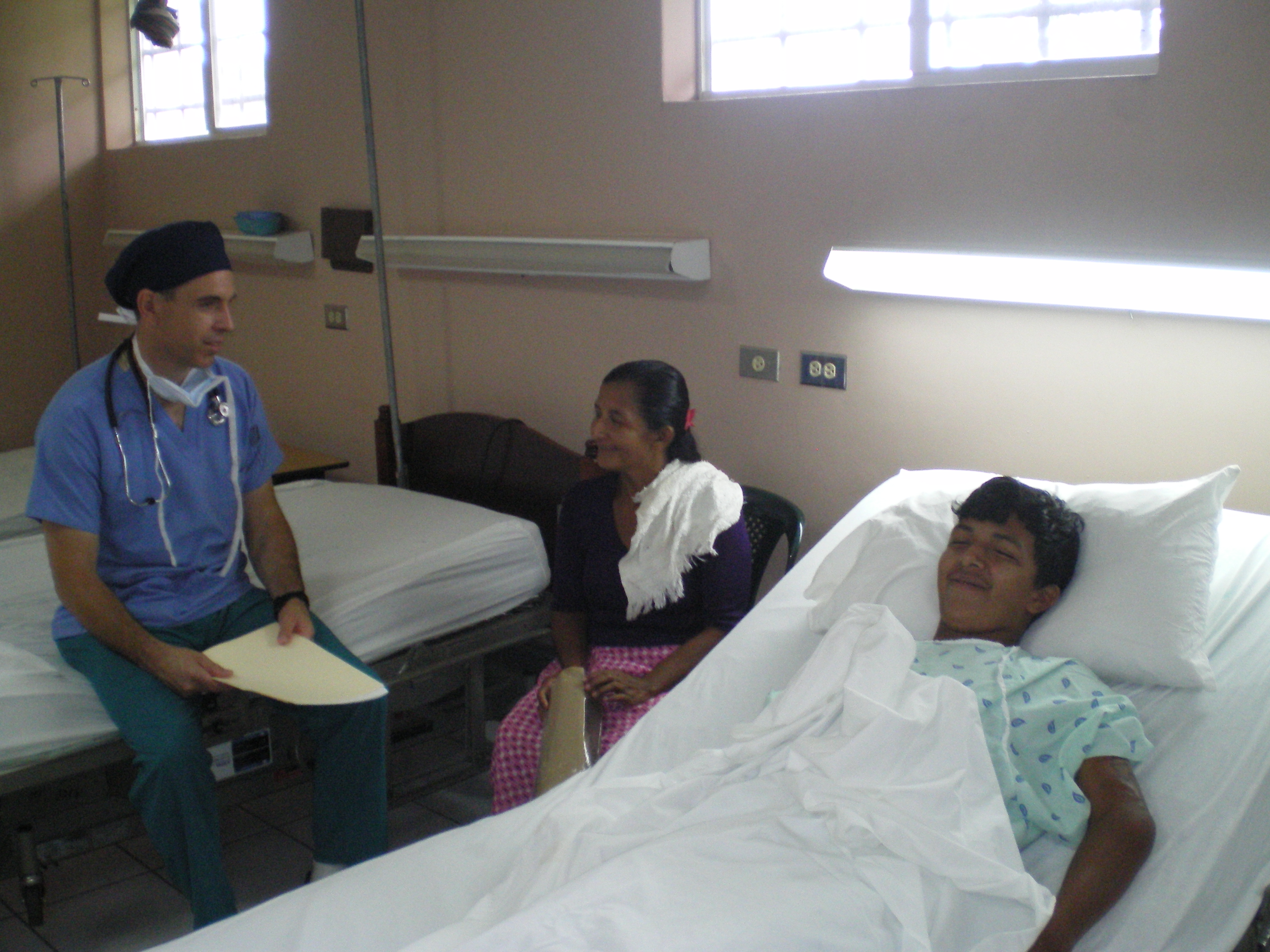
DSC00838

IMGP1106

IMGP1104

IMGP1103

IMGP1102

IMGP1100

IMGP1099

IMGP1098

IMGP1097

IMGP1096

IMGP1095

IMGP1094

IMGP1093

IMGP1092
IMGP1091

IMGP1090

IMGP1089

IMGP1088
IMGP1087

IMGP1086
IMGP1084

IMGP1083
Topographic Map of Chinandega, Nicaragua
Find elevation by address:

Places in Chinandega, Nicaragua:
Places near Chinandega, Nicaragua:
Volcan San Cristobal-casita Natural Reserve
Choluteca Department
Matapalo
Las Mesas
Somoto
El Barro
Estelí Department
Madriz
San Isidro
Ocotal
Sébaco
Dipilto
Chaguitillo
Cacao
Jinotega
Matagalpa
La Laguna
Recent Searches:
- Elevation of Corso Fratelli Cairoli, 35, Macerata MC, Italy
- Elevation of Tallevast Rd, Sarasota, FL, USA
- Elevation of 4th St E, Sonoma, CA, USA
- Elevation of Black Hollow Rd, Pennsdale, PA, USA
- Elevation of Oakland Ave, Williamsport, PA, USA
- Elevation of Pedrógão Grande, Portugal
- Elevation of Klee Dr, Martinsburg, WV, USA
- Elevation of Via Roma, Pieranica CR, Italy
- Elevation of Tavkvetili Mountain, Georgia
- Elevation of Hartfords Bluff Cir, Mt Pleasant, SC, USA