Elevation of China Wall Staging Area, Foresthill, CA, USA
Location: United States > California > Placer County > Foresthill >
Longitude: -120.67694
Latitude: 39.151389
Elevation: 1535m / 5036feet
Barometric Pressure: 84KPa
Elevation Map:
Satellite Map:
Related Photos:
StarTrails-9799

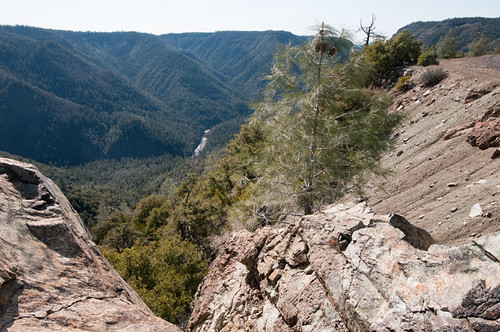
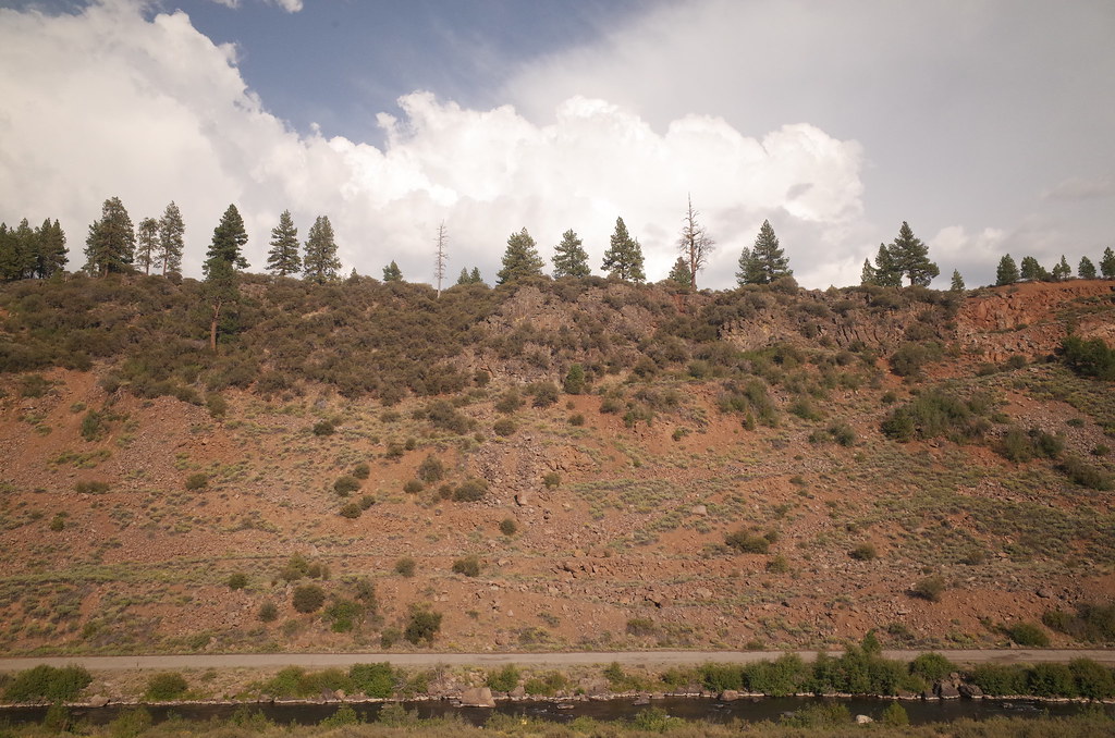
The American River Gorge – A Semi-Grand Canyon
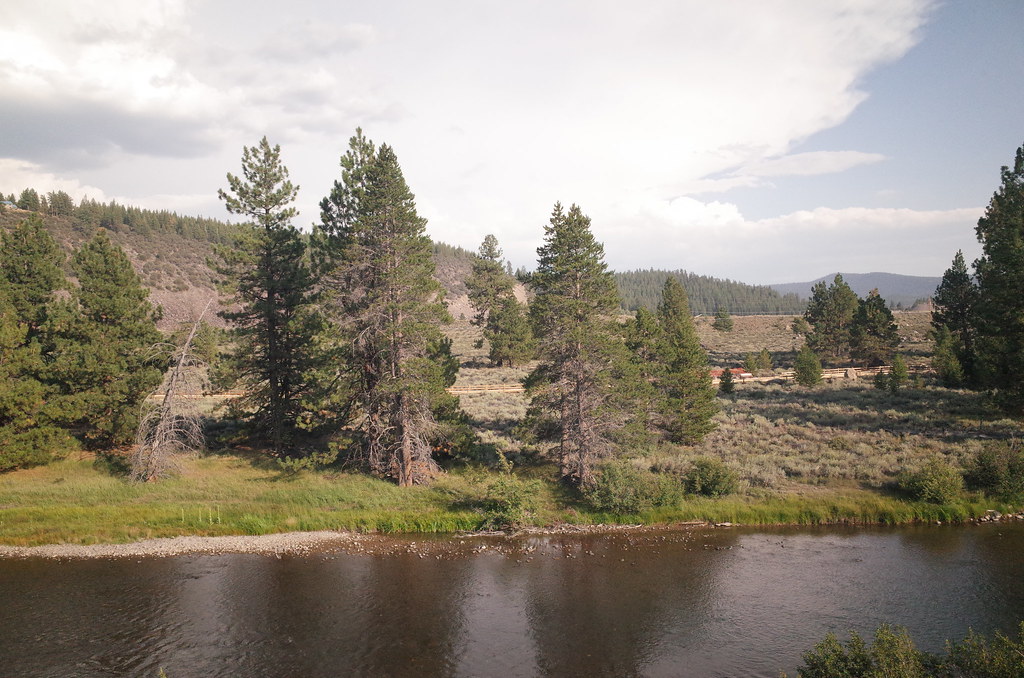
In the pines
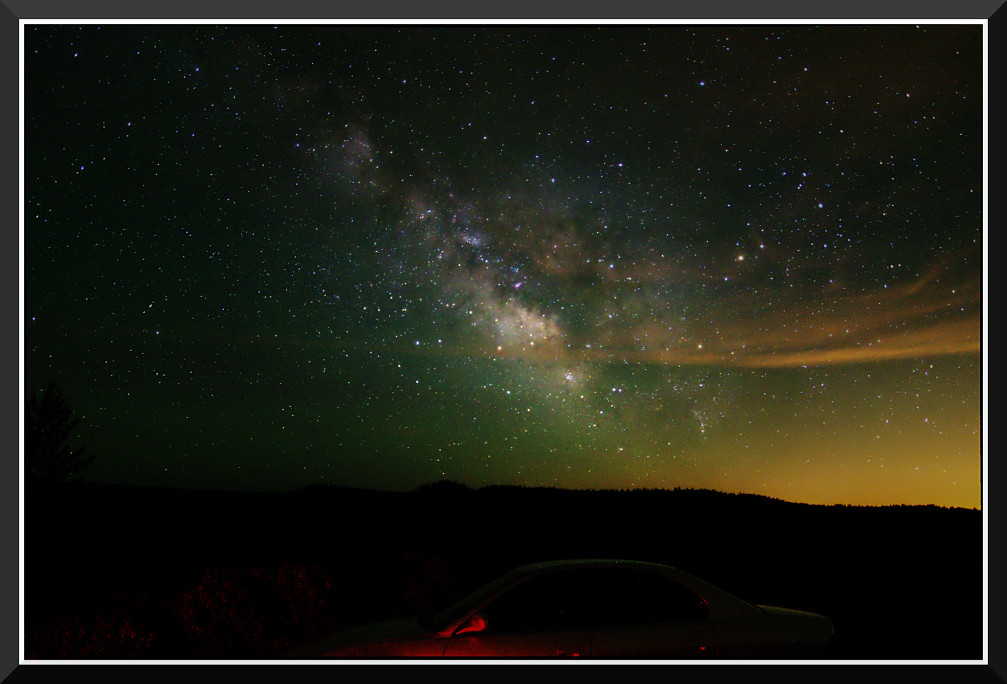
Day 891: MilkyWay_7702
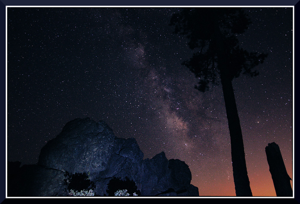
Day 919: MilkyWay_8909
StarTrailsOnly-7999

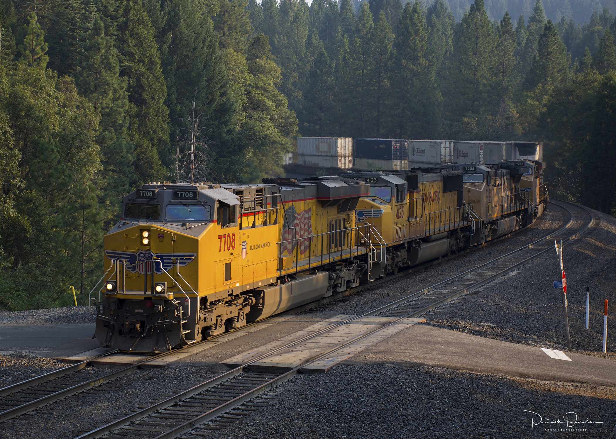
Heading West at: Alta - California. ( 2 Views )
Blue Canyon Airport-View of Fires_080703_small
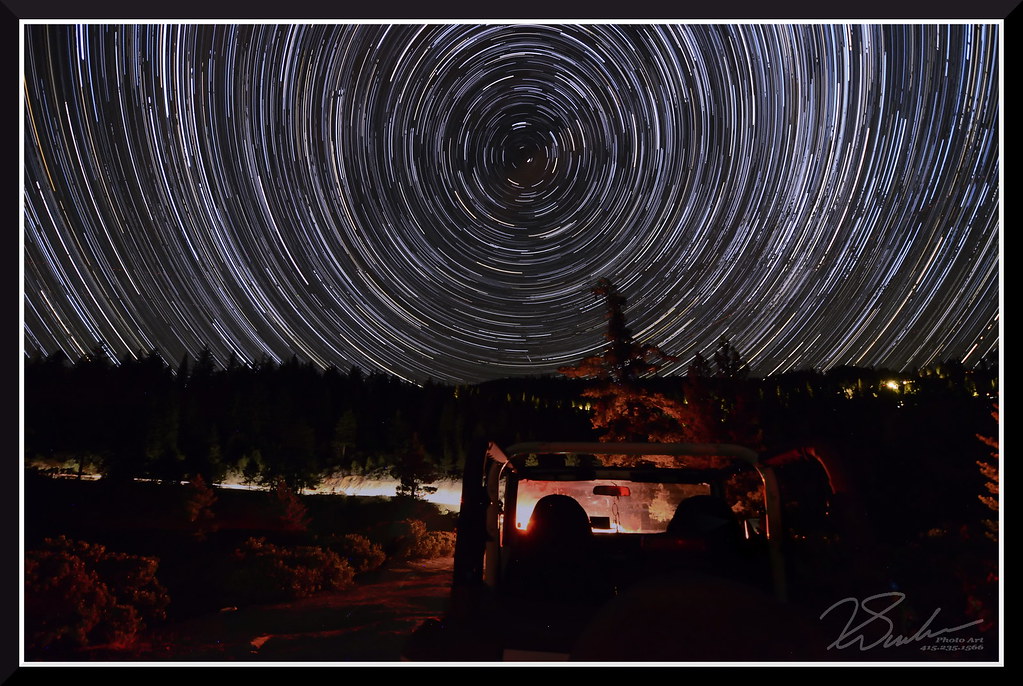
StarTrailsWithJeep-7999

Brian Morrison at Dusty Corners - Everyone Needs a Kiss after 38 Miles
project365_240-365
Super Wide View
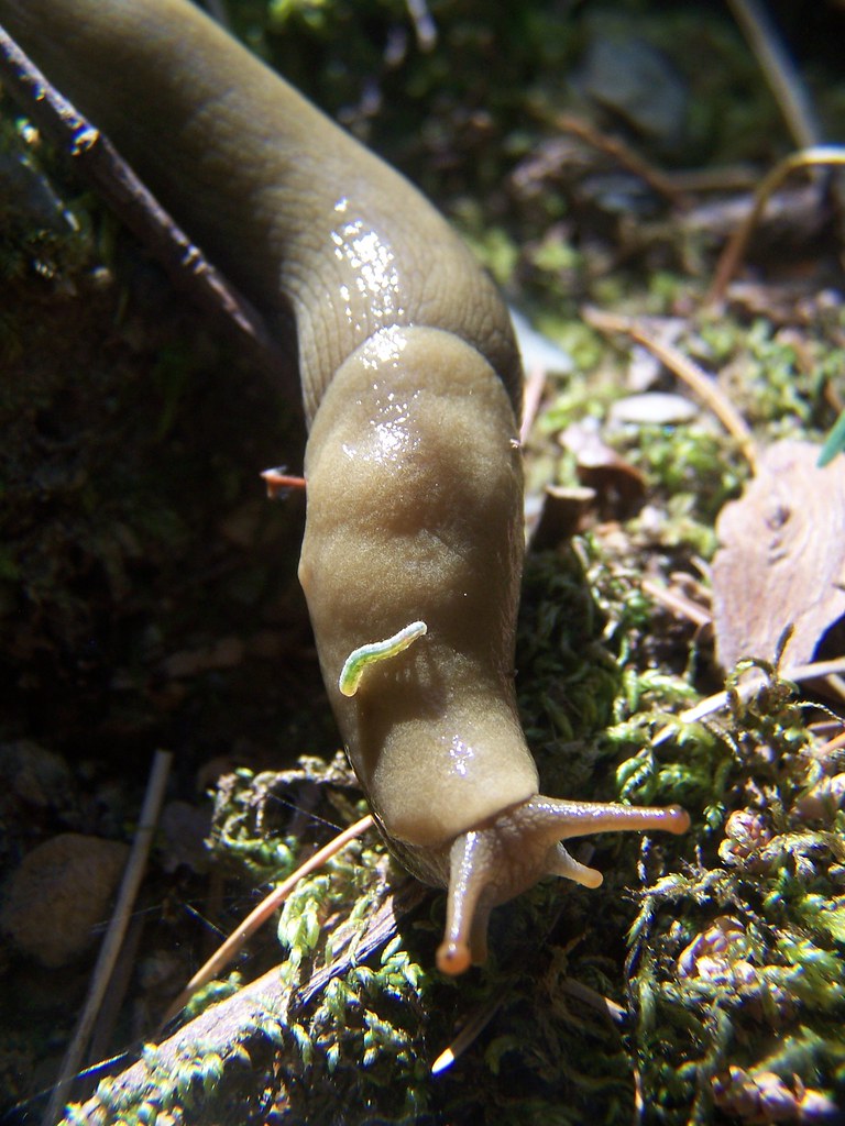
20070603 Slug
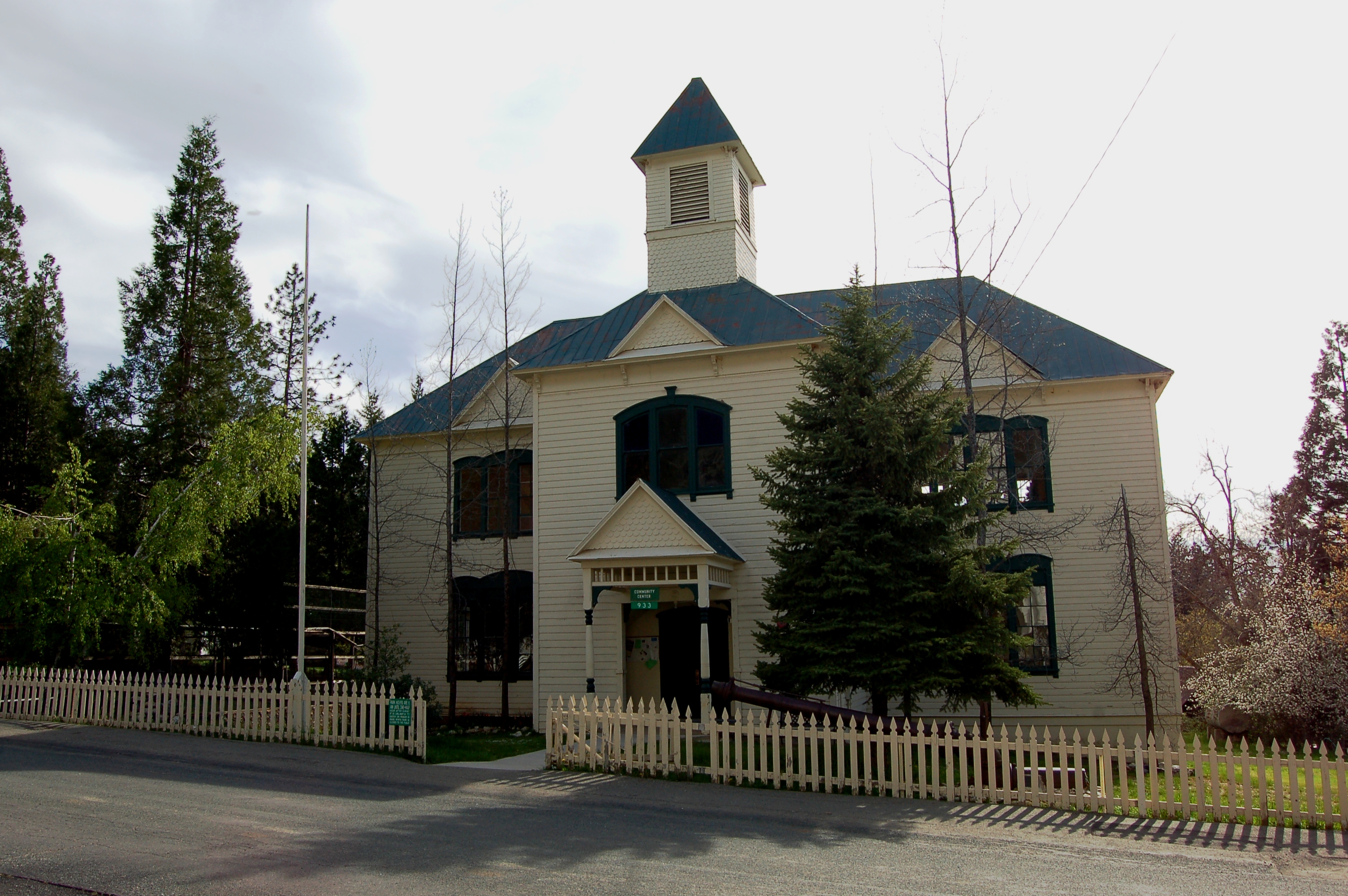
California, Dutch Flat- Placer County, Dutch Flat School (779-2)
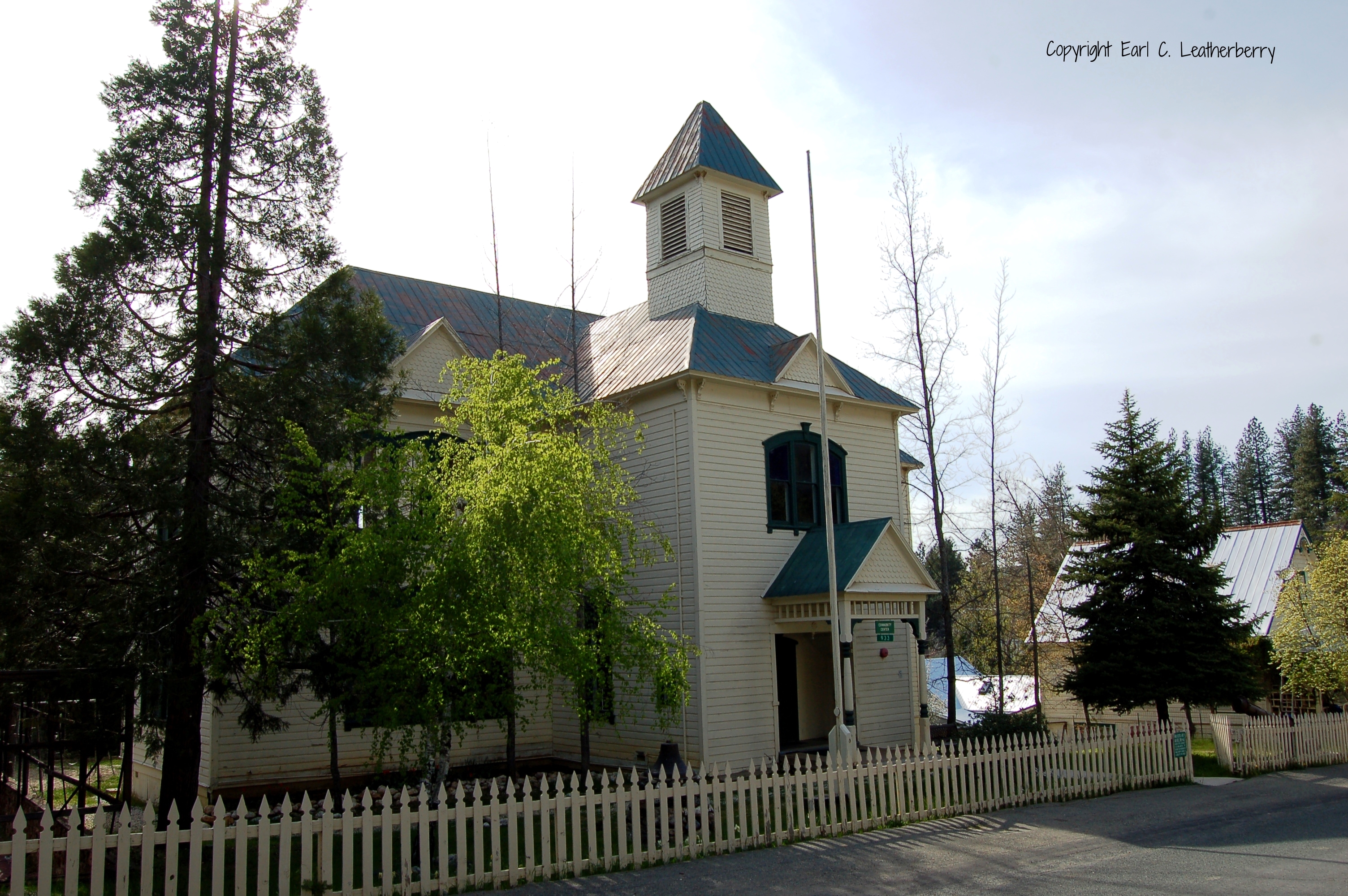
California, Dutch Flat- Placer County, Dutch Flat School (779-2b)
Fall Kayaking for Life

Putt Lake Sunrise

Placer Mining

Sierra Lake Paddling
New York Canyon Falls at Noon, California
Burn-ished Sunset
In Bear Country

RI037517.JPG
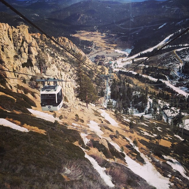
#ski #tram #snow #lift #winter #rocks #mountain #melt
American Fire 08-16-13
RI037522.JPG
RI037521.JPG
RI037520.JPG

RI037513.JPG
RI037511.JPG
Shadows and Lake Putt, Placer County, CA

From the Amtrak California Zephyr
ZG2LT at Casa Loma
Observatory Closed for Winter 8786

Woods in Northern CA
Topographic Map of China Wall Staging Area, Foresthill, CA, USA
Find elevation by address:

Places near China Wall Staging Area, Foresthill, CA, USA:
Foresthill Rd, Foresthill, CA, USA
6440 Hidden Treasure Rd
29295 Ridge View Rd
29245 Ridge View Rd
Mosquito Ridge Road
30303 Chicken Hawk Rd
Sacramento--arden-arcade--roseville, Ca
Casa Loma Rd, Alta, CA, USA
Sugar Pine Reservoir
Finning Mill Rd, Foresthill, CA, USA
Michigan Bluff
28409 Foresthill Rd
6100 Michigan Bluff Rd
3000 Succor Ln
Placer County
2346 Moody Ridge Rd
2100 Moody Ridge Rd
Frost Hill Road
Monte Vista Inn
55 Canyon Creek Way, Gold Run, CA, USA
Recent Searches:
- Elevation of Cavendish Rd, Harringay Ladder, London N4 1RR, UK
- Elevation of 1 Zion Park Blvd, Springdale, UT, USA
- Elevation of Ganderbal
- Elevation map of Konkan Division, Maharashtra, India
- Elevation of Netaji Nagar, Hallow Pul, Kurla, Mumbai, Maharashtra, India
- Elevation of Uralsk, Kazakhstan
- Elevation of 45- Kahana Dr, Honokaa, HI, USA
- Elevation of New Mexico 30, NM-30, Española, NM, USA
- Elevation of Santmyer Way, Charles Town, WV, USA
- Elevation of Riserva Naturale Lago di Montepulciano, Italy