Elevation of Chilungula, Tanzania
Location: Tanzania > Lindi Region > Ruangwa >
Longitude: 38.933333
Latitude: -10.466667
Elevation: 280m / 919feet
Barometric Pressure: 98KPa
Elevation Map:
Satellite Map:
Related Photos:
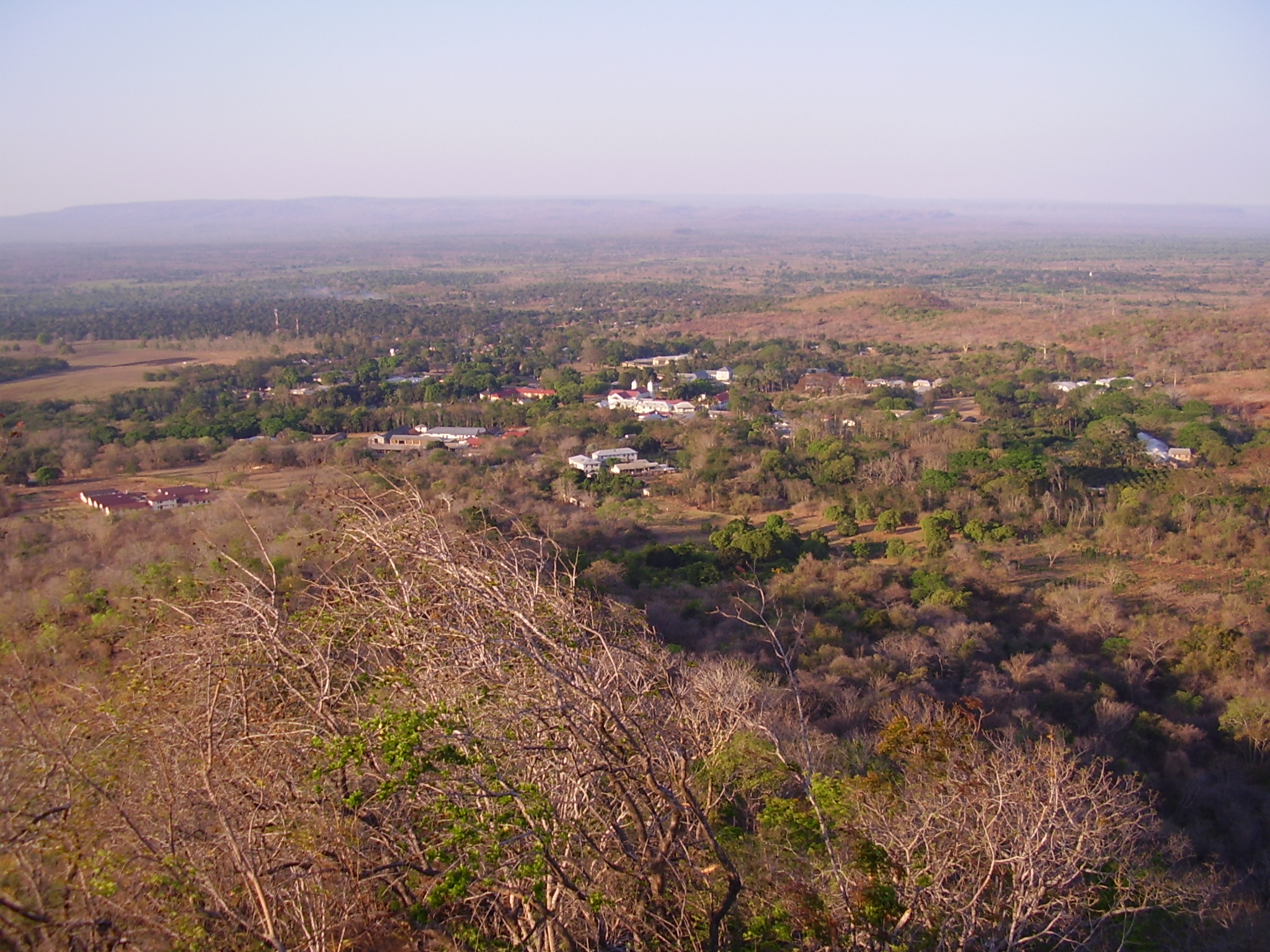
Ndanda and the flood-plain of the Lukuledi River
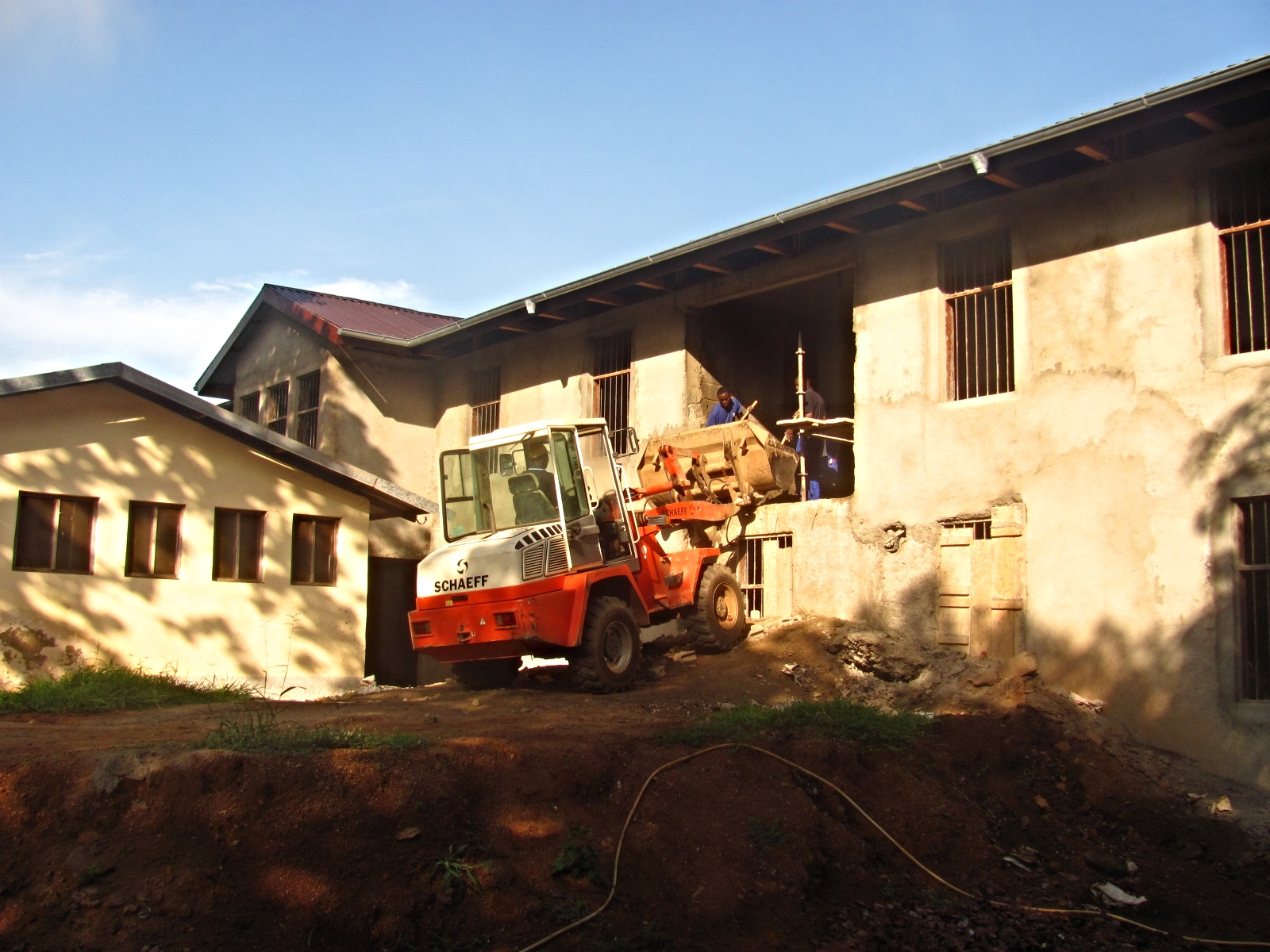
Students in training
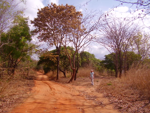
Every year this region has six months without rain.
Topographic Map of Chilungula, Tanzania
Find elevation by address:

Places near Chilungula, Tanzania:
Ndanda
Nachingwea
Masasi
Mtwara Region
Newala
Lindi
Ruangwa
Chiungutwa
Rondo Plateau
Ruangwa
Mtene
Masasi
Nanyumbu
Recent Searches:
- Elevation of 12 Hutchinson Woods Dr, Fletcher, NC, USA
- Elevation of Holloway Ave, San Francisco, CA, USA
- Elevation of Norfolk, NY, USA
- Elevation of - San Marcos Pass Rd, Santa Barbara, CA, USA
- Elevation of th Pl SE, Issaquah, WA, USA
- Elevation of 82- D Rd, Captain Cook, HI, USA
- Elevation of Harlow CM20 2PR, UK
- Elevation of Shenyang Agricultural University, Dong Ling Lu, Shen He Qu, Shen Yang Shi, Liao Ning Sheng, China
- Elevation of Alpha Dr, Melbourne, FL, USA
- Elevation of Hiroshima University, 1-chōme-3-2 Kagamiyama, Higashihiroshima, Hiroshima -, Japan