Elevation of Cheyenne Trail, Hartsel, CO, USA

Location: United States > Colorado > Hartsel >

Longitude: -105.70020

Latitude: 39.1125376

Elevation: -10000m / -32808feet

Barometric Pressure: 295KPa

Elevation Map:

elevation map of Cheyenne Trail, Hartsel, CO, USA

Satellite Map:

Satellite map of Cheyenne Trail, Hartsel, CO, USA

Related Photos:

outdoors rei jeep outdoor unlimited wrangler bigbear colorado co trail view twotowers green brown mountains canon7dmarkii efs1018mm jacket red blue 2017 sanden unitedstates us
off the grid
jackson stereoview 1880 albumen
William Henry Jackson - Rainbow Falls in Winter, Manitou, Colorado,ca 1870
longexposure sky panorama night stars nikon colorado nightscape astrophotography zodiacallight hugin d600 paradisopics
360º Nightscape
ranch mountain mountains river colorado cattle south meadow meadows co platte southplatte southplatteriver hartsel hartselcolorado hartselco
South Platte River: Hartsel, Colorado (CO)
rockies colorado rockymountains coloradorockies
Eagle Rock, Pike National Forest
sky mountains west nature weather clouds outdoors colorado view photomerge dramaticsky hdr highdynamicrange americanwest theamericanwest thewest
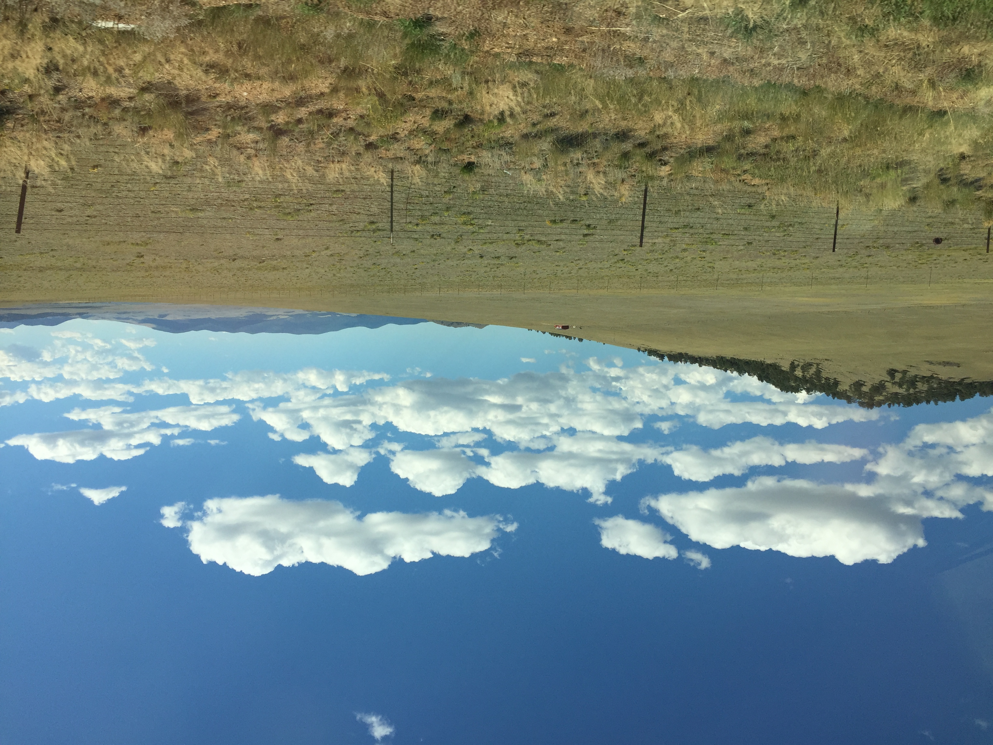
Colorado mountains and dramatic sky
ranch mountains buffalo highway colorado 9 24 bison range buffalos buffaloes hartsel buffalopeaks
2 June 12 Buffalo and Buffalo Peaks
mountains fog colorado raw gimp farms ufraw hartsel co9
Along CO-9
bw mountains fog colorado raw gimp farms ufraw hartsel co9
Along CO-9 (black & white)
square squareformat iphoneography instagramapp xproii uploaded:by=instagram
A fine view
mountains west rockies colorado co rockymountains
View from a Colorado highway 2004
mountains west rockies colorado co rockymountains
View from a Colorado highway 2004
tarryall tarryallcreek tarryallvalley tarryallreservoir colorado pikenationalforest lostcreekwilderness parkcounty southpark
South Park
lakegeorge colorado unitedstates us drone grass field tree hill landscape wilderness nature sky grassland mountain vegetation outdoors countryside noperson ecosystem dirtroad outdoor gravel naturereserve road shrubland grazing bush travel flora grassy plant green steppe scenic
perspective scale
tarryall tarryallcreek colorado tarryallreservoir tarryallvalley pikenationalforest lostcreekwilderness parkcounty southpark
At the Reservoir
ranch flowers wild horse mountains field river landscape colorado stream springs grazing beatuiful hertsel
Hertsel Horse
South Park Colorado
tarryall tarryallcreek pikenationalforest parkcountycolorado colorado road77 parkcounty southpark mountains mountain reservoir lake reflection water clouds statewildlifearea swa coloradoparkswildlife rural countryside summer
Tarrying at Tarryall
Eagle Rock Pastoral
tarryall tarryallcreek pikenationalforest parkcountycolorado colorado road77 parkcounty southpark mountains mountain reservoir lake reflection water
South Park
mavicpro drone jeepwranglerunlimited toyotatacoma red black aerial straightdown viewpoint parkcounty colorado co us unitedstates outdoor trail
The Swan Shadow
1250 160 1div 2016 235mm barns blue brown canon co colorado coloradosprings ef28300mm ef28300mmf3556lisusm eos1dmarkiv explore f16 hartsel landscape orange pikespeak red superzoom telephoto unitedstates usa yellow geo:lat=3902105509 geo:lon=10580009052 geotagged outdoor buildings building west lookingeast best wonderful perfect fabulous great photo pic picture image photograph esplora explored
Pike's Peak
blue shadow sky usa mountains silhouette clouds landscape colorado unitedstates hills pikenationalforest ranchland forested
Puma Hills
Establishing Shot - Spinney Mountain Reservoir, Park County CO - October 2018
travel summer sky usa mountain holiday snow colour nature clouds america landscape nikon colorado roadtrip usavacation nikonflickraward
Rocky Mountain
mist mountain rocky
Misty Morning Mountain
Pike National Forest, U.S. Route 24 Between Hartsel and Florissant, Colorado
park snow mountains abandoned canon ramp colorado south glider hang slope 14ers f4l 24105mm 60d
Abandoned Hang Glider Ramp