Elevation of Chestnut St, Silver Creek, NE, USA
Location: United States > Nebraska > Merrick County > Silver Creek > Silver Creek >
Longitude: -97.664816
Latitude: 41.3186253
Elevation: 473m / 1552feet
Barometric Pressure: 96KPa
Elevation Map:
Satellite Map:
Related Photos:
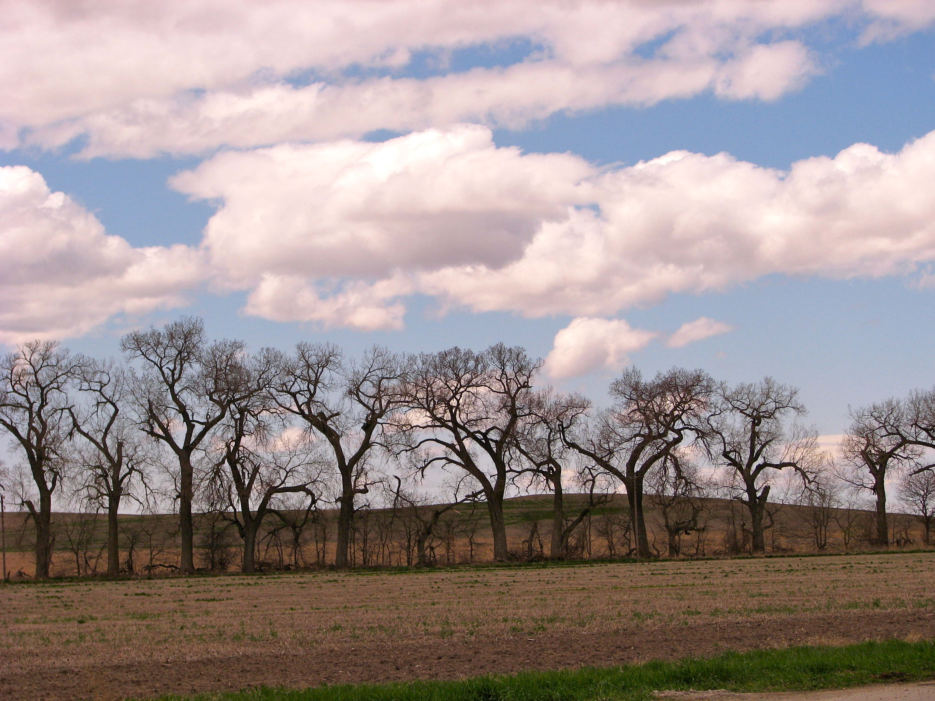
Gnarled Trees
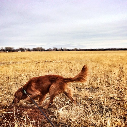
Exploring the middle of nowhere (central Nebraska).
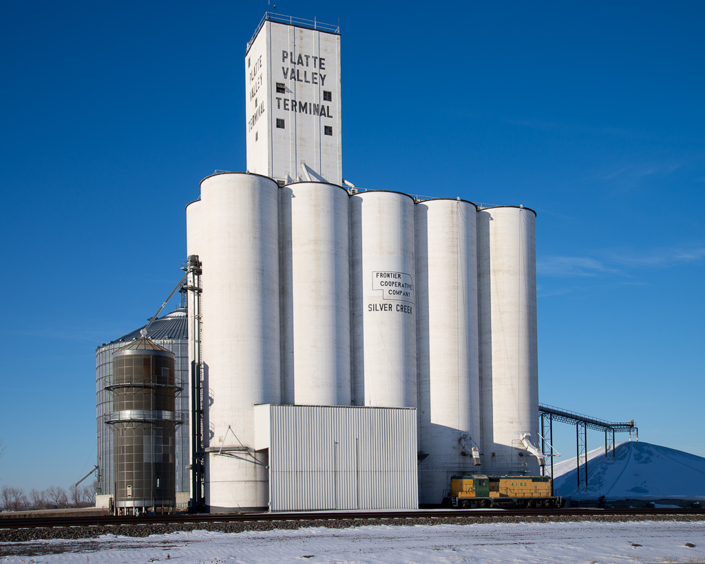
Grain Elevator and Locomotive - Silver Creek, NE
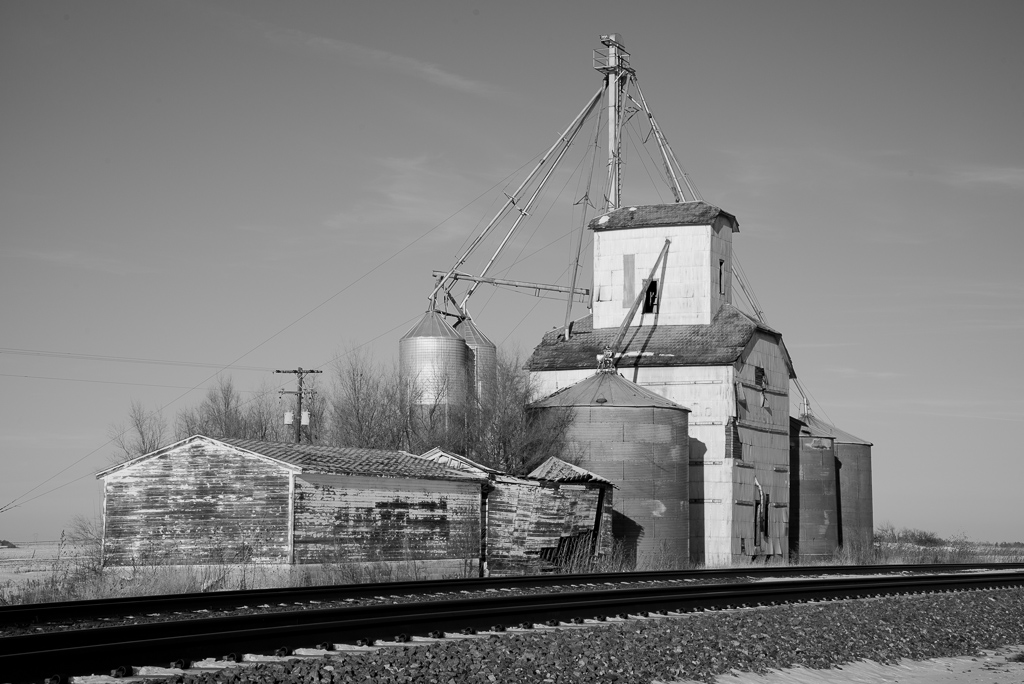
Grain Elevator - Northeast of Clarks, NE
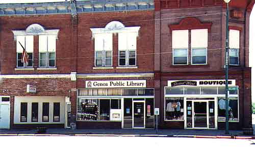
Genoa Public Library

Blogging on the fly

Saman jonas
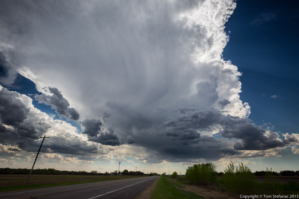
First Storm

IMG_20140520_193528-modified

IMG_1162[1]

IMG_1139[1]

Your connection to the West...
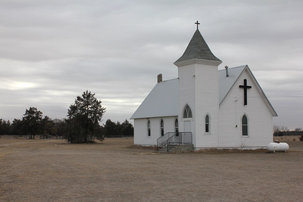
Gruetli United Church of Christ - rural Monroe, NE
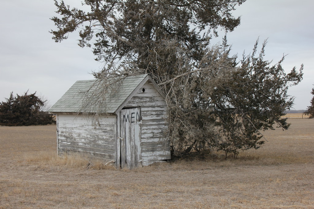
Outhouse, Gruetli United Church of Christ - rural Monroe, NE

Silver Creek Township Library - Silver Creek, NE
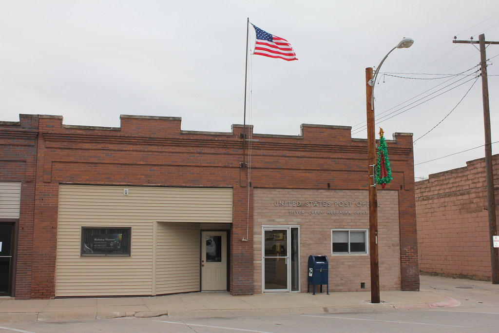
Post Office - Silver Creek, NE

American Legion Post 263 - Silver Creek, NE
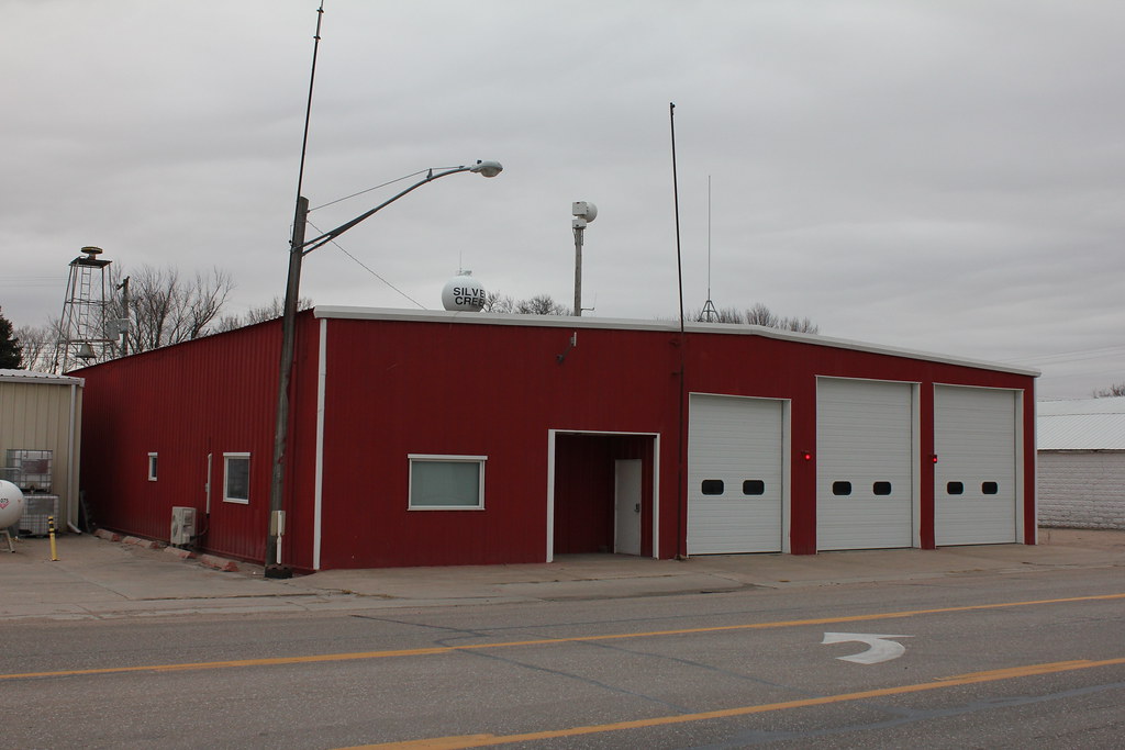
Fire Station - Silver Creek, NE
District 28 School - rural Osceola, NE
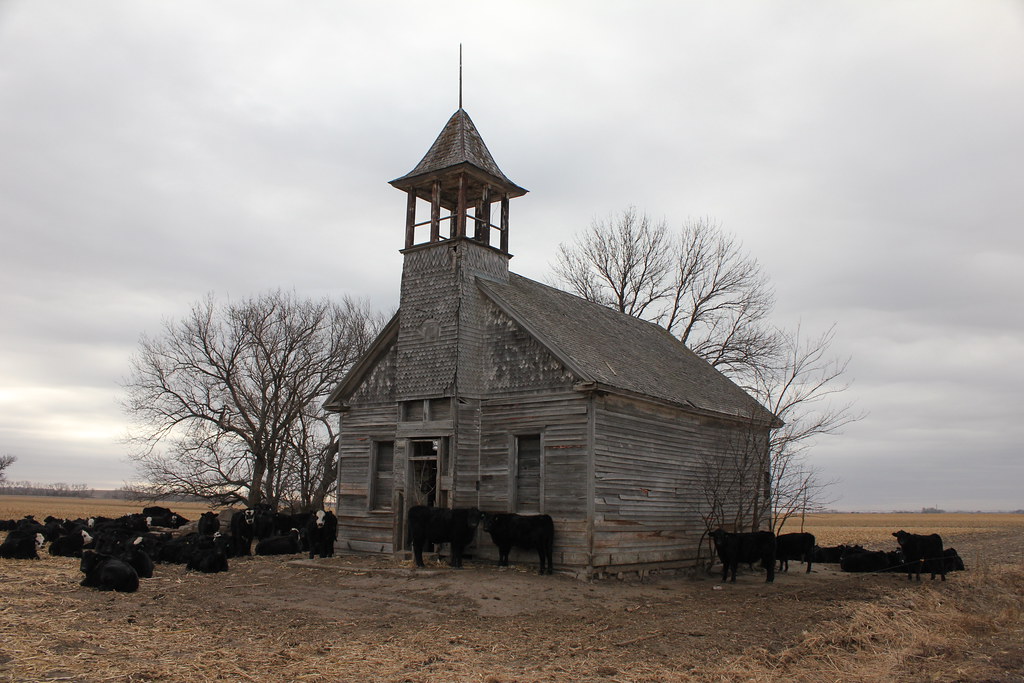
District 5 School - rural Osceola, NE
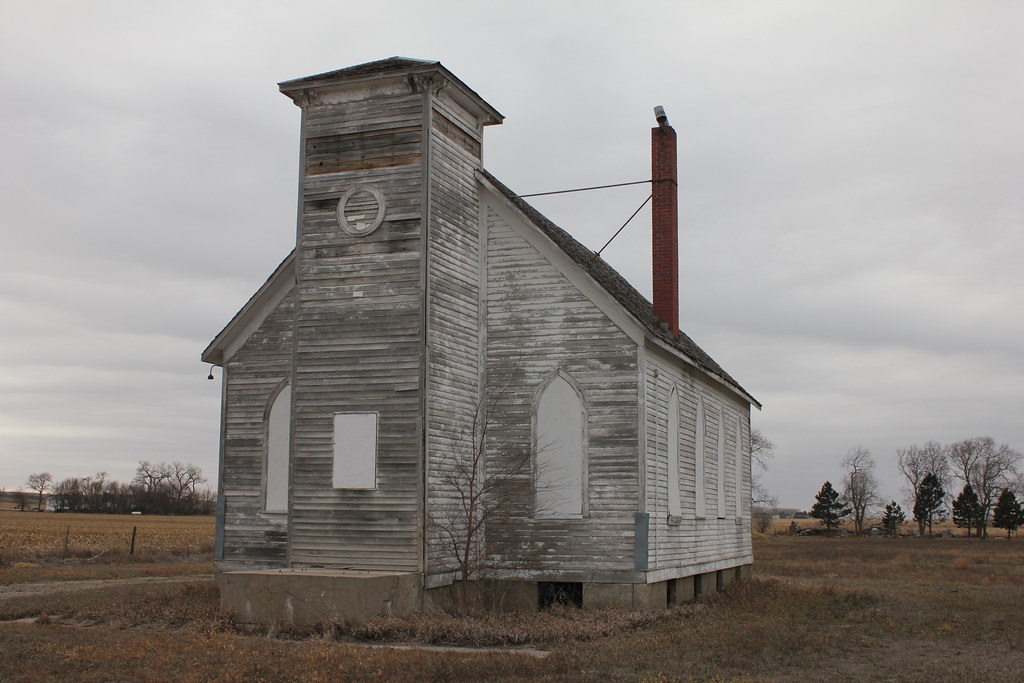
Valley German Methodist Church - rural Osceola, NE
Topographic Map of Chestnut St, Silver Creek, NE, USA
Find elevation by address:

Places near Chestnut St, Silver Creek, NE, USA:
Silver Creek
Silver Creek
U.s. 30
Genoa
1159 129th Rd
1159 129th Rd
1159 129th Rd
Polk County
21392 Williams Bay Dr
Shelby
Elm St, Shelby, NE, USA
7 Robin Ln
146 Lakeshore Dr
27 Clear Lake
28 Clear Lake
1881 46th Avenue
South Canada
4810 33rd St
Platte County
Pawnee Park
Recent Searches:
- Elevation of Corso Fratelli Cairoli, 35, Macerata MC, Italy
- Elevation of Tallevast Rd, Sarasota, FL, USA
- Elevation of 4th St E, Sonoma, CA, USA
- Elevation of Black Hollow Rd, Pennsdale, PA, USA
- Elevation of Oakland Ave, Williamsport, PA, USA
- Elevation of Pedrógão Grande, Portugal
- Elevation of Klee Dr, Martinsburg, WV, USA
- Elevation of Via Roma, Pieranica CR, Italy
- Elevation of Tavkvetili Mountain, Georgia
- Elevation of Hartfords Bluff Cir, Mt Pleasant, SC, USA