Elevation of Chestnut St, Big Springs, NE, USA
Location: United States > Nebraska > Deuel County > Big Springs > Big Springs >
Longitude: -102.07349
Latitude: 41.0669163
Elevation: 1036m / 3399feet
Barometric Pressure: 89KPa
Elevation Map:
Satellite Map:
Related Photos:
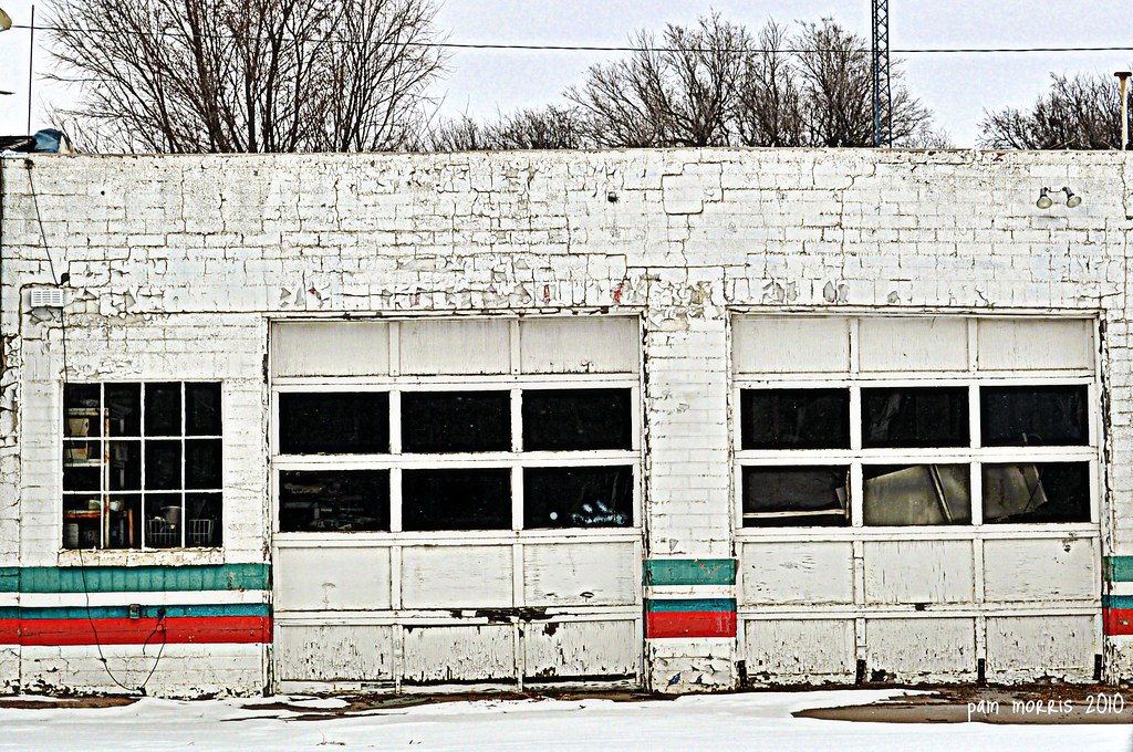
Big Doors

Phelps Hotel- Big Springs NE
080518-01

DSC03031_2 - Sunset Photo
DSC03029_2 - Sunset Photo
DSC03031_1 - Sunset Photo
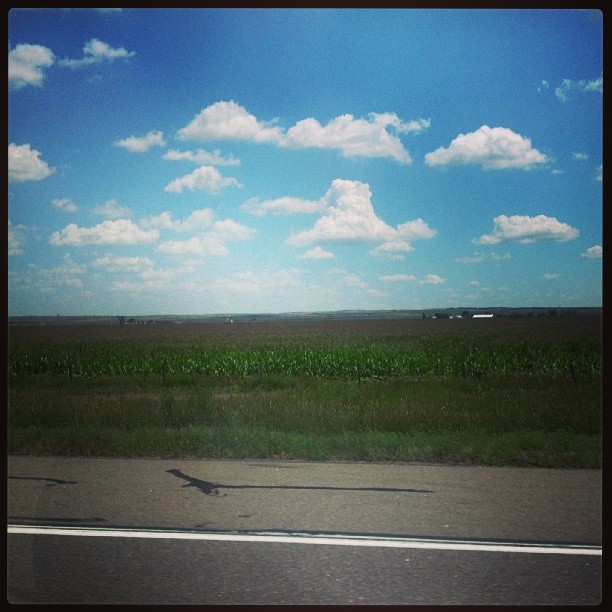
Welcome to Nebraska

DSC03029_1 - Sunset Photo

Landscape_090311_LR-1.jpg
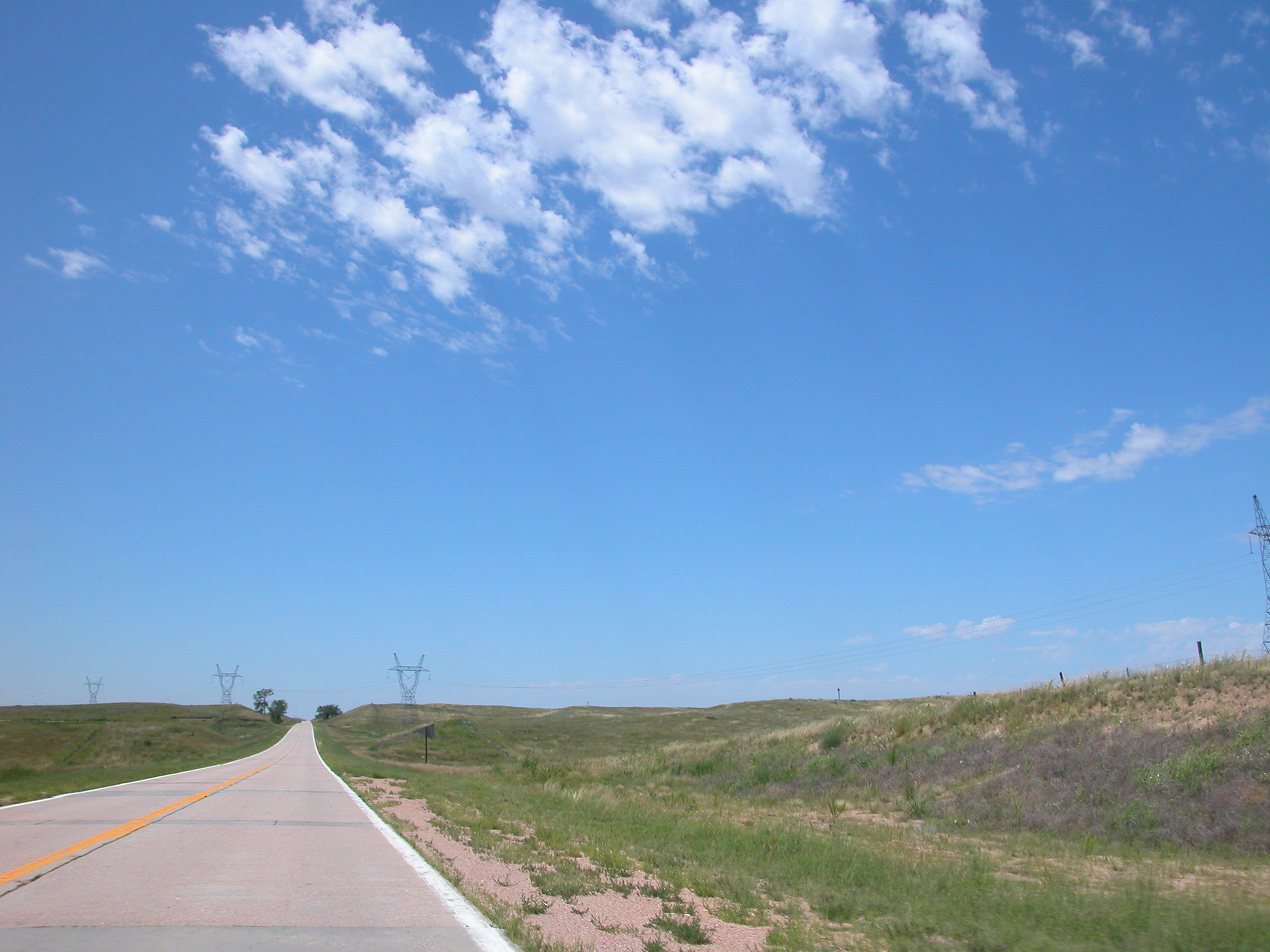
JulAug MA mission (70)
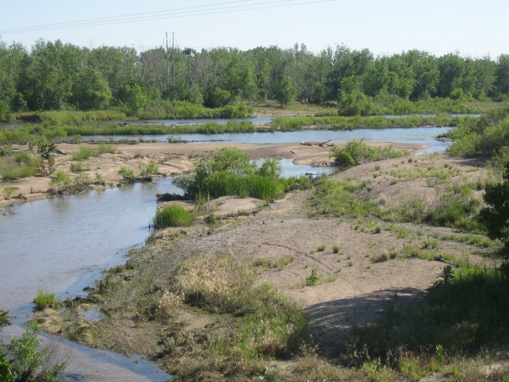
EL RIO SOUTH PLATTE (4)
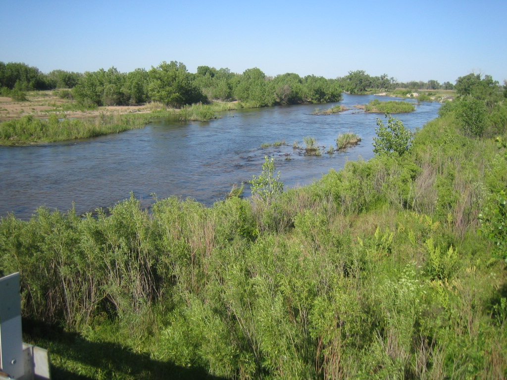
EL RIO SOUTH PLATTE (2)
2007 drive to CA with Annie (69)
EL RIO SOUTH PLATTE (3)

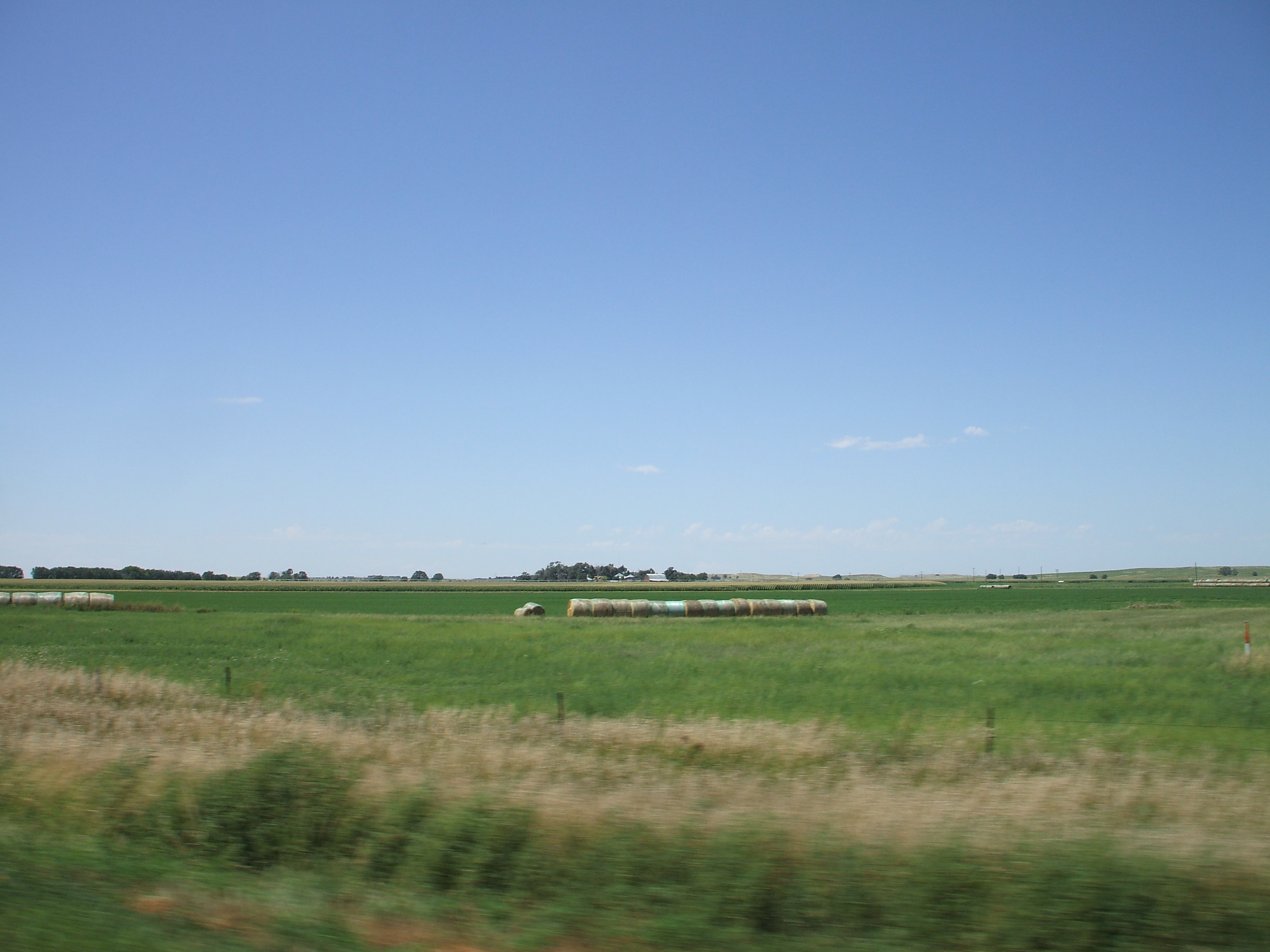
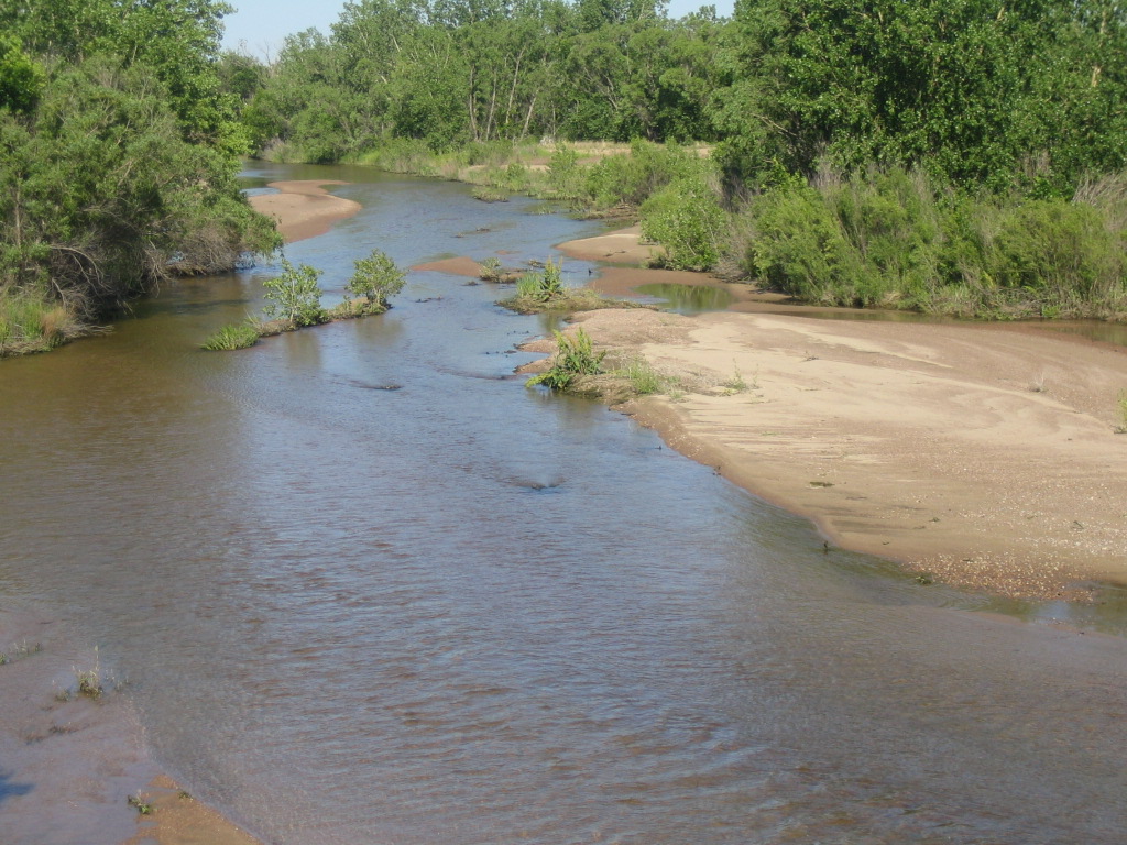
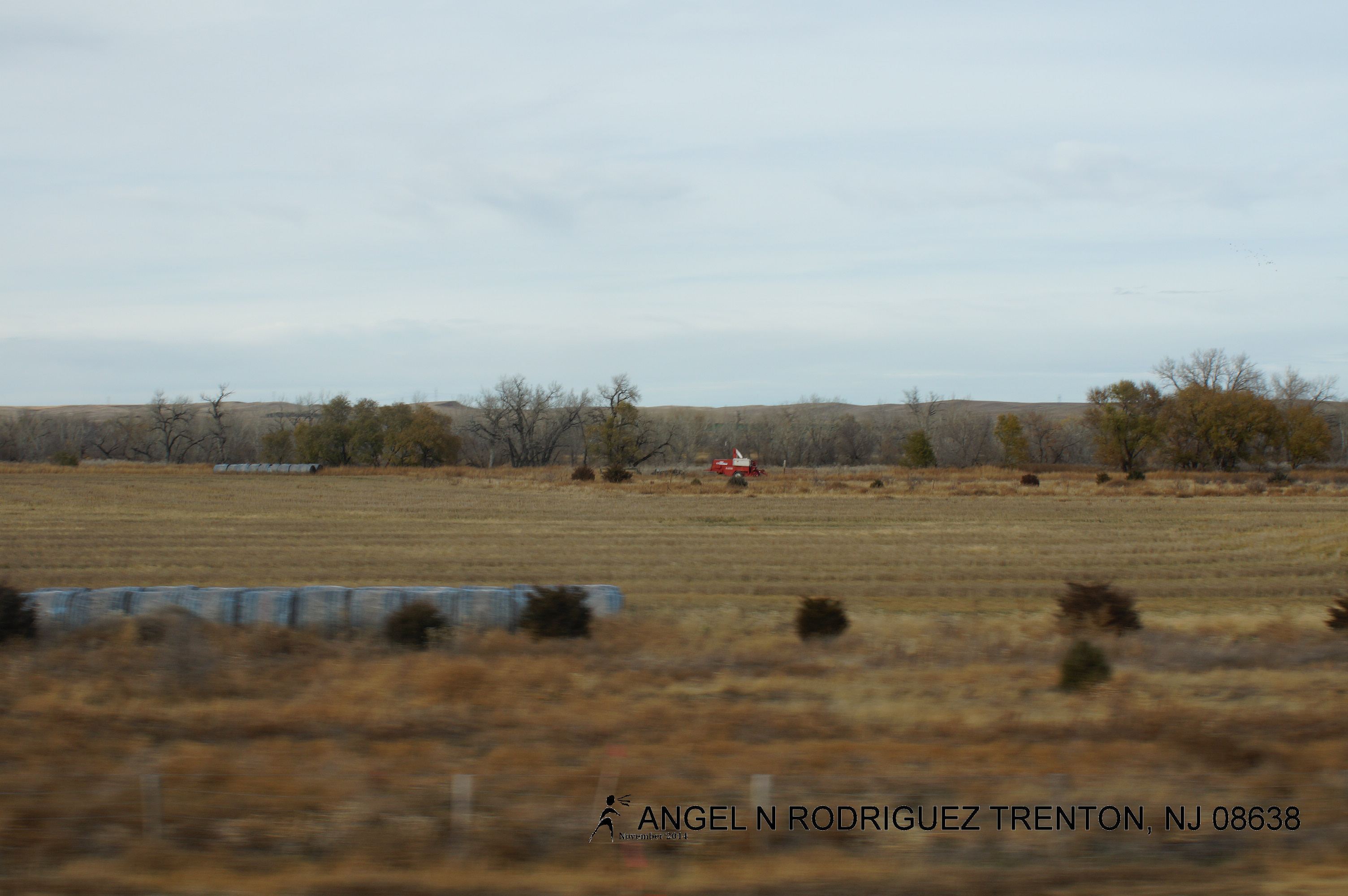
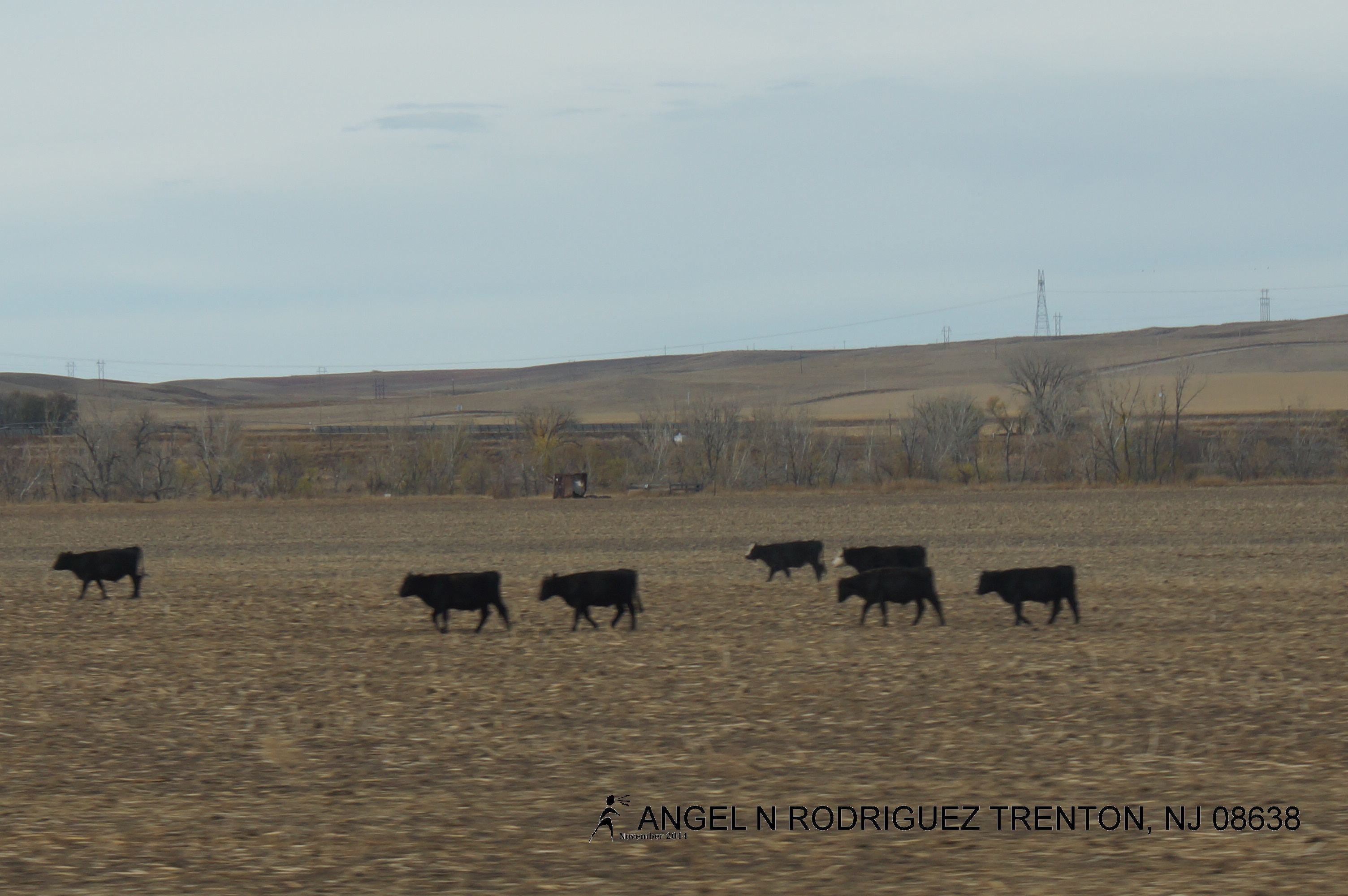
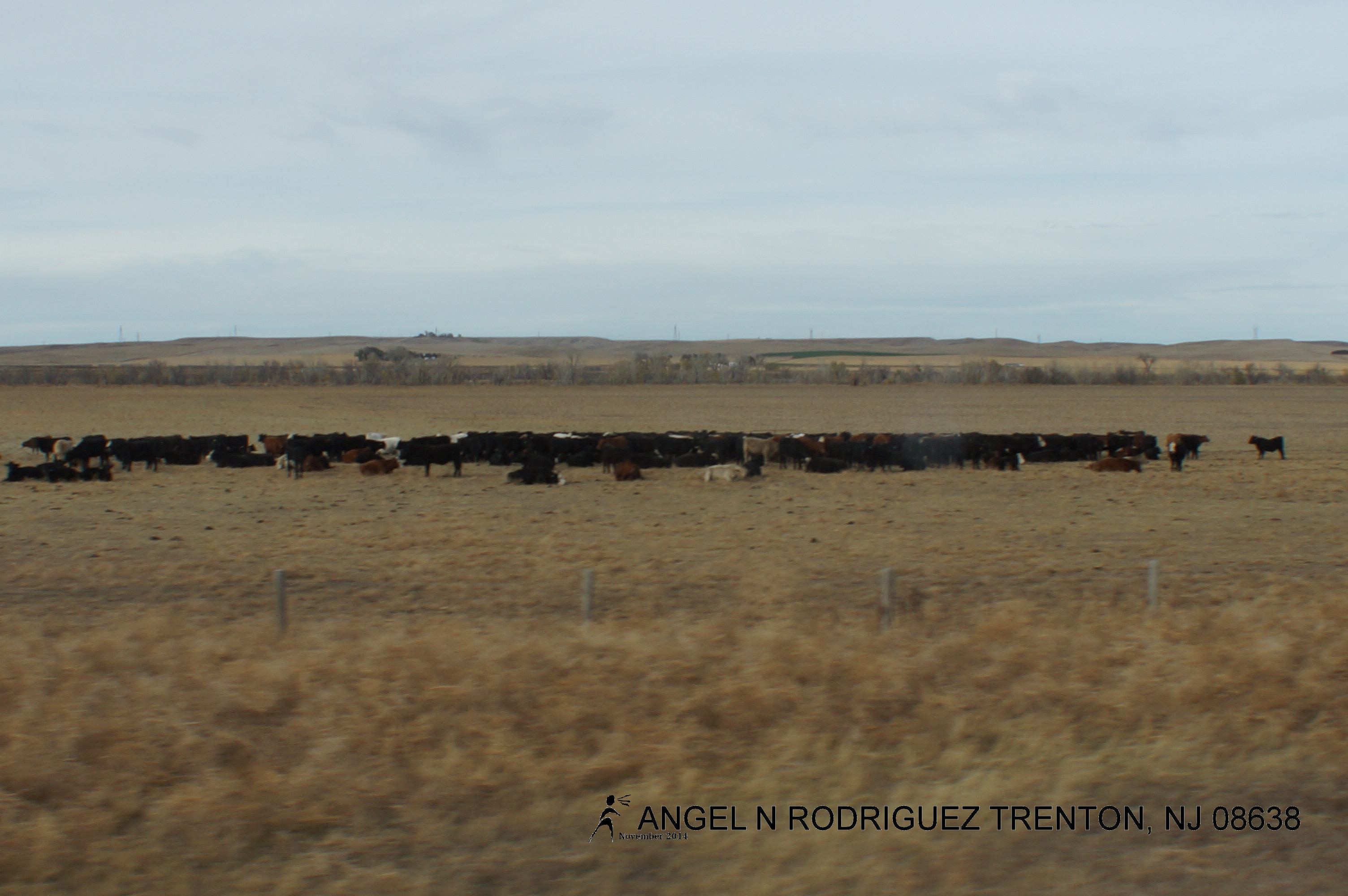
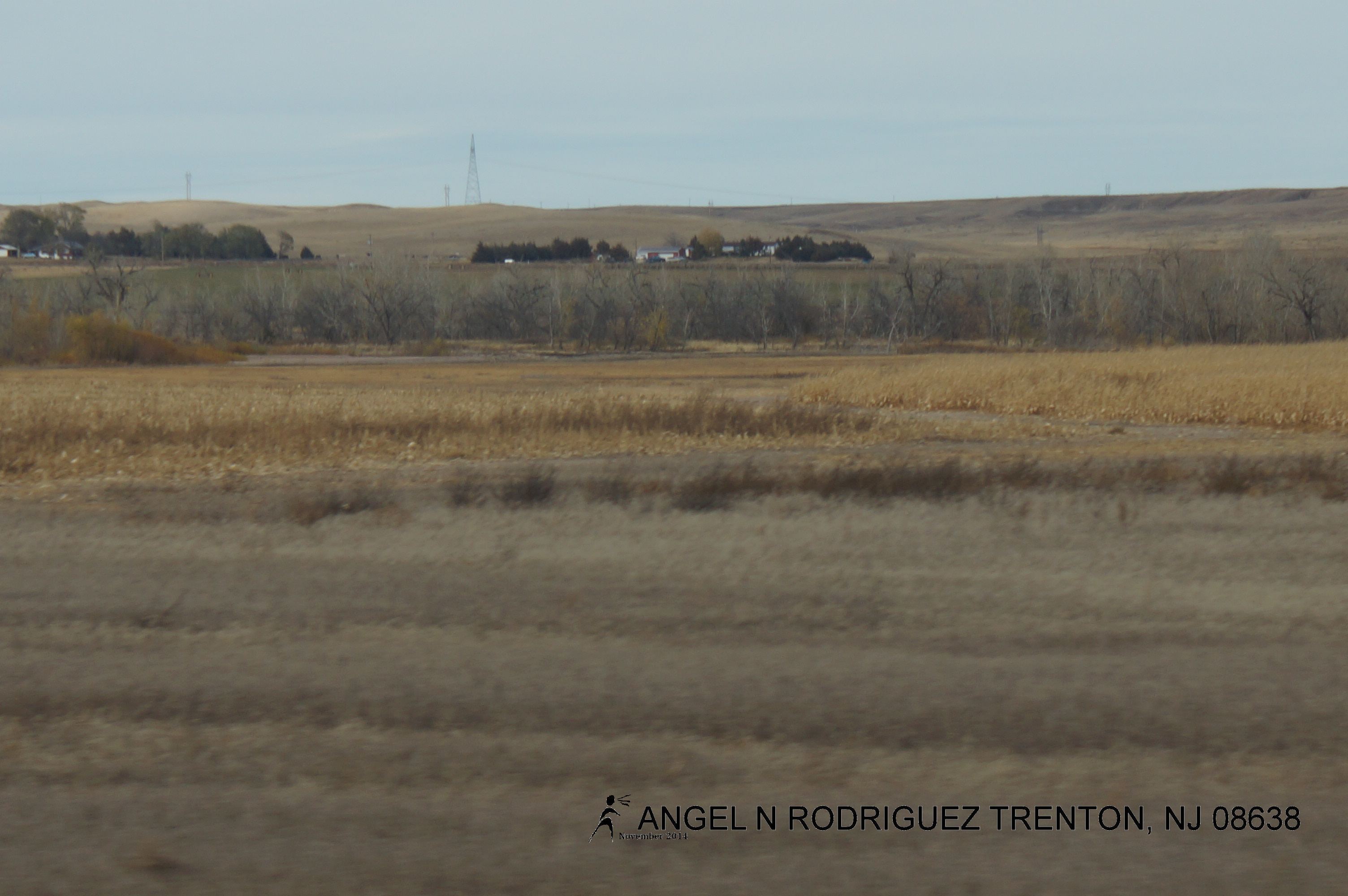
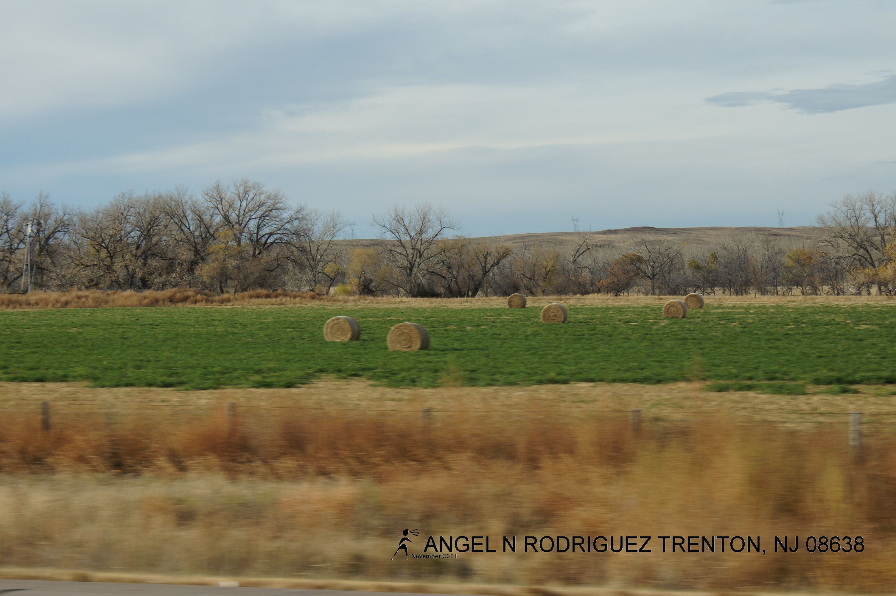
From West to East
From West to East

From West to East
From West to East

From West to East
From West to East
From West to East

From West to East

From West to East
From West to East
Topographic Map of Chestnut St, Big Springs, NE, USA
Find elevation by address:

Places near Chestnut St, Big Springs, NE, USA:
Big Springs
Big Springs
Big Springs
Big Springs
Big Springs
Big Springs
Big Springs
Big Springs
Big Springs
Big Springs
State St, Brule, NE, USA
15225 Us-385
W 3rd St, Julesburg, CO, USA
Julesburg
Deuel County
Deuel County
Deuel County
Deuel County
Lewellen
Main St, Lewellen, NE, USA
Recent Searches:
- Elevation of Corso Fratelli Cairoli, 35, Macerata MC, Italy
- Elevation of Tallevast Rd, Sarasota, FL, USA
- Elevation of 4th St E, Sonoma, CA, USA
- Elevation of Black Hollow Rd, Pennsdale, PA, USA
- Elevation of Oakland Ave, Williamsport, PA, USA
- Elevation of Pedrógão Grande, Portugal
- Elevation of Klee Dr, Martinsburg, WV, USA
- Elevation of Via Roma, Pieranica CR, Italy
- Elevation of Tavkvetili Mountain, Georgia
- Elevation of Hartfords Bluff Cir, Mt Pleasant, SC, USA