Elevation of Chestnut Hill, NC, USA
Location: United States > North Carolina > Ashe County >
Longitude: -81.350941
Latitude: 36.4789391
Elevation: 944m / 3097feet
Barometric Pressure: 90KPa
Elevation Map:
Satellite Map:
Related Photos:

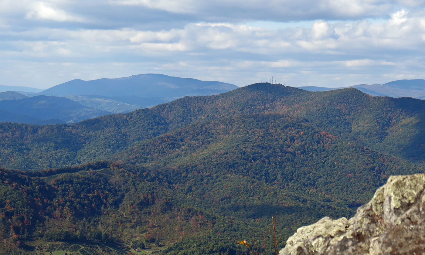
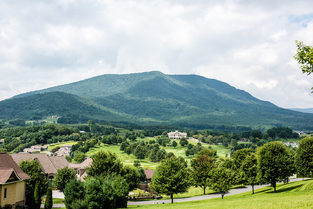
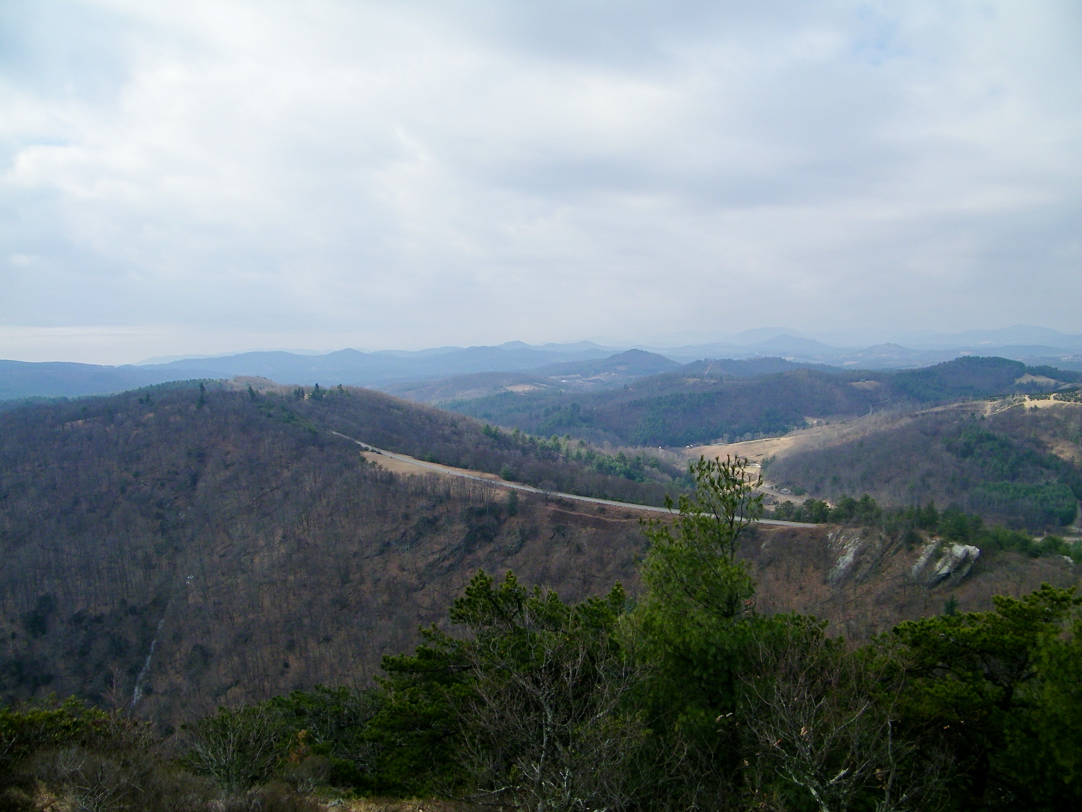
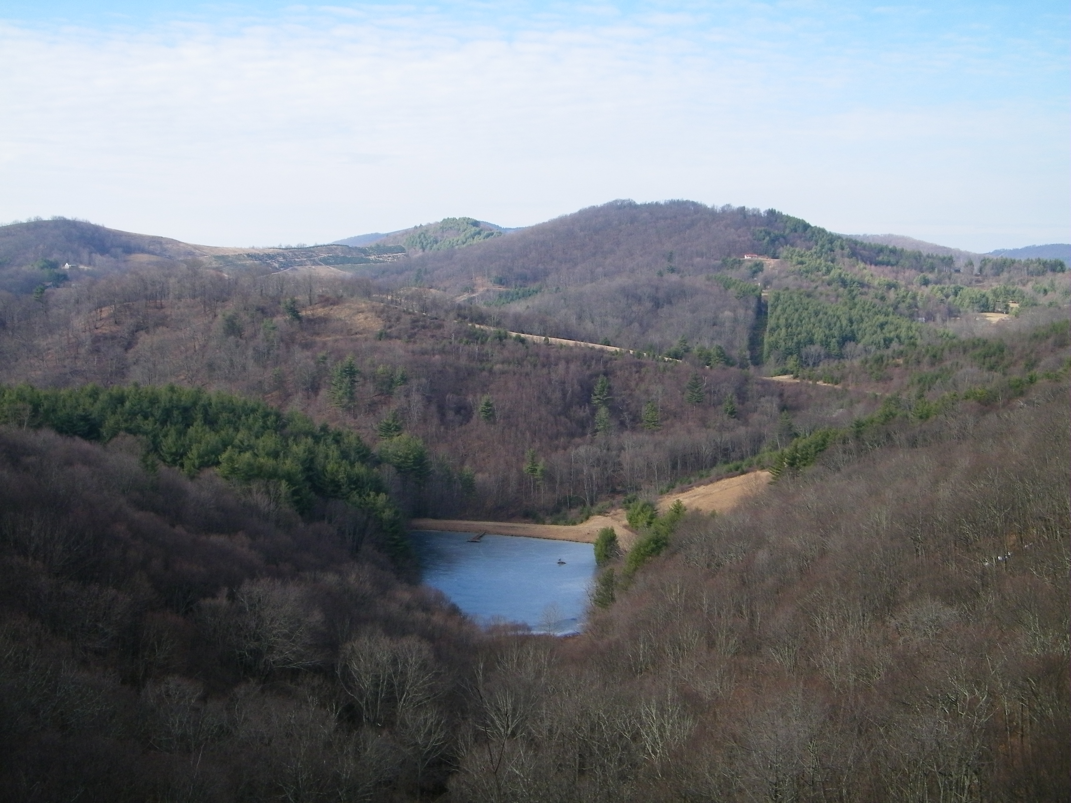
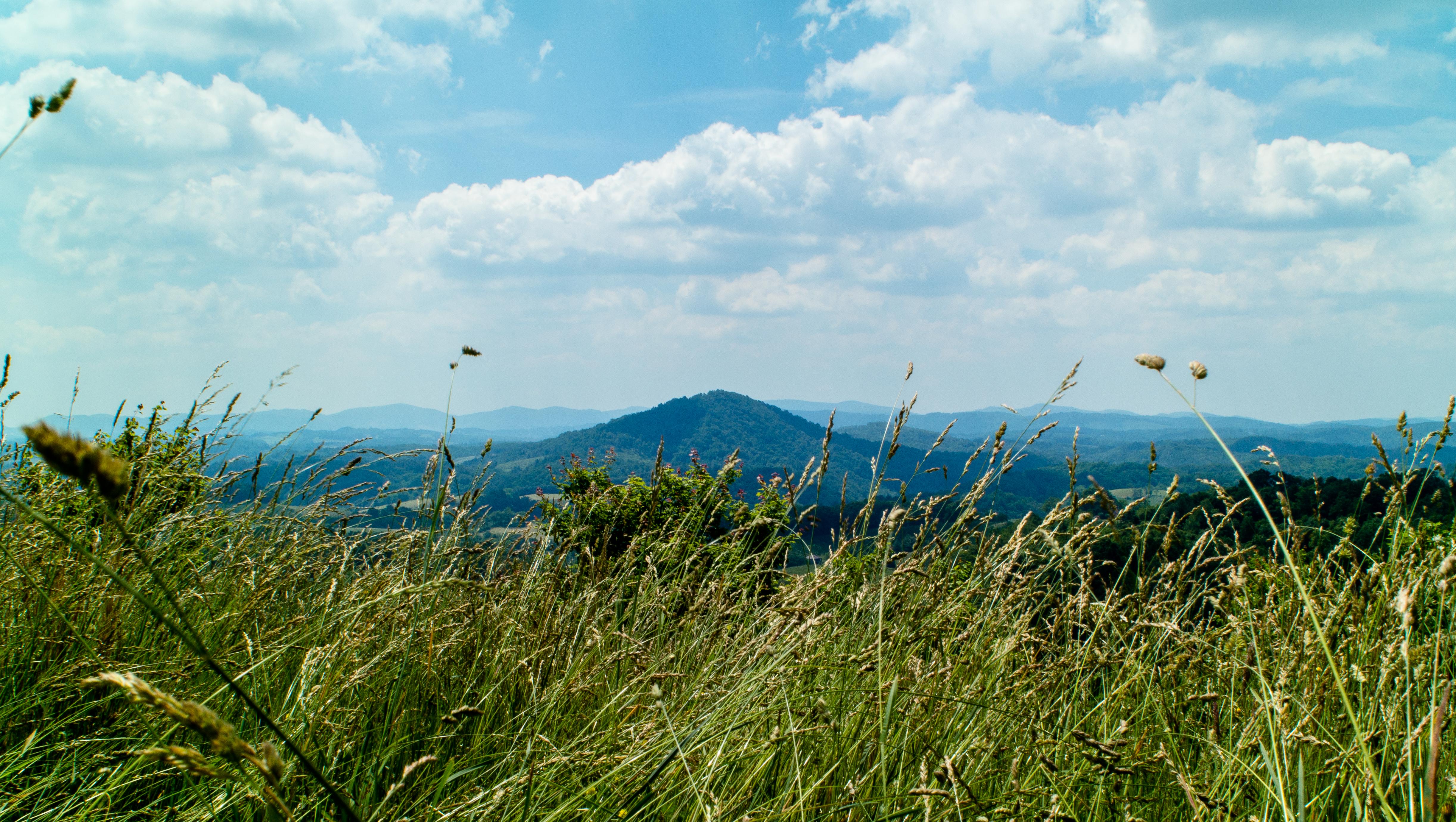
Luther Rock View

Old New River House
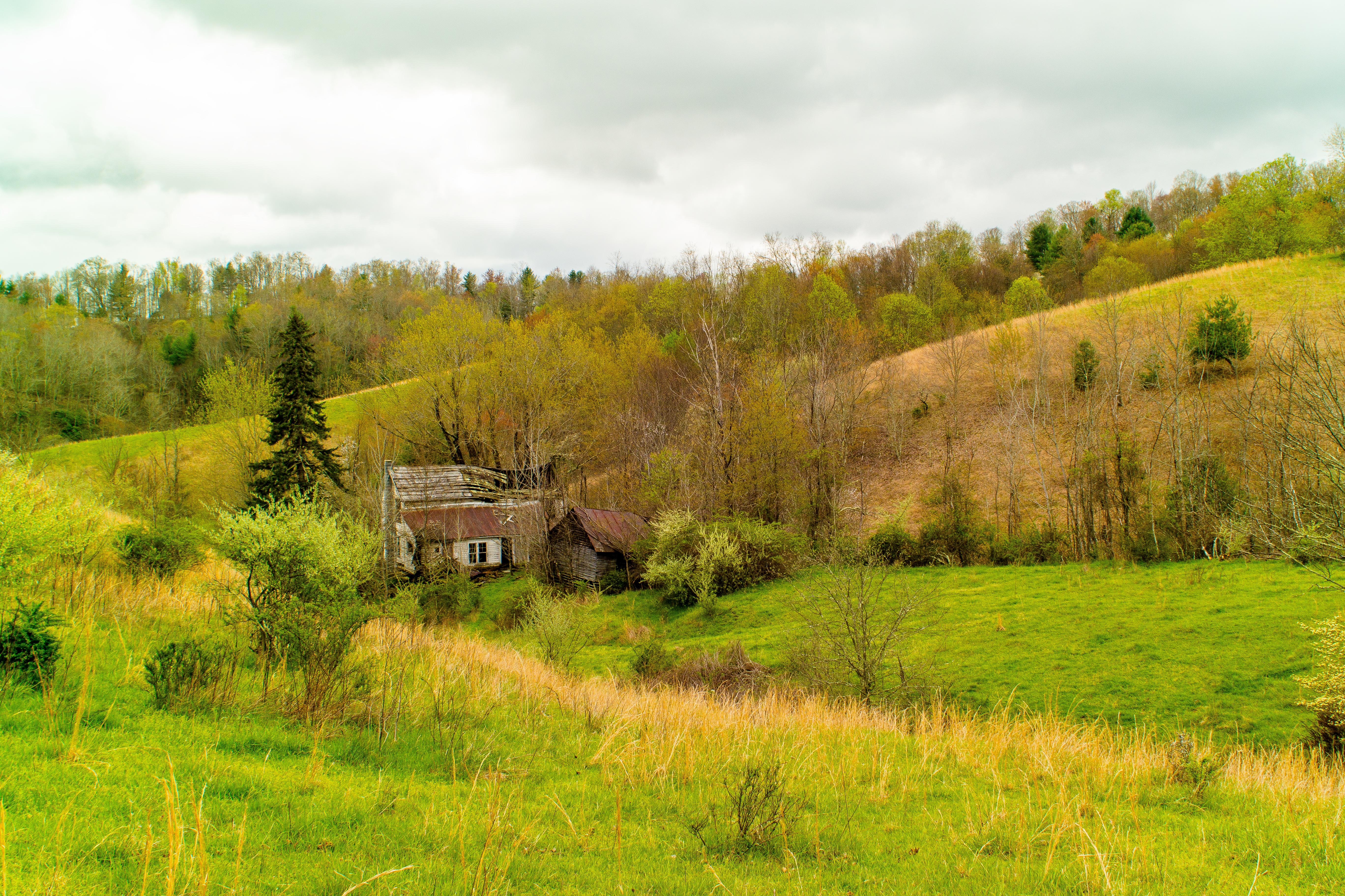
Forgotten House in the Hills
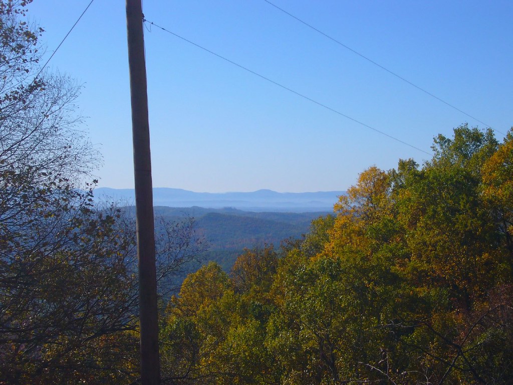
Early Fall in the Southern Appalachians

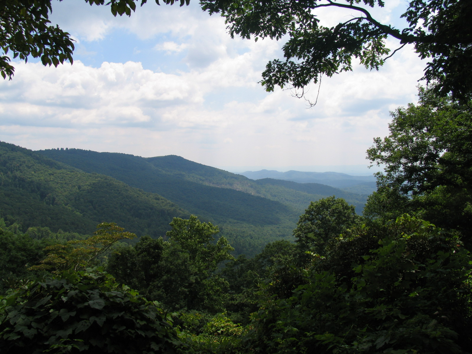
Views From Mt Jefferson, Ashe County

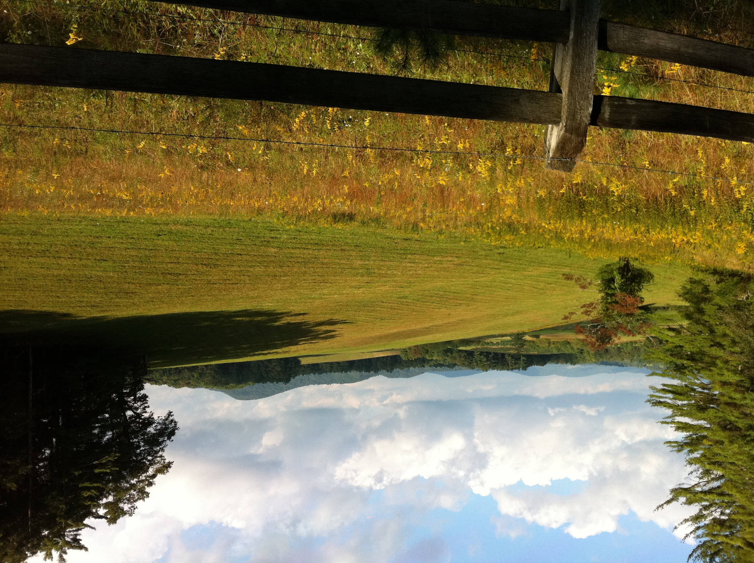
view from up the hill

my current view
View from Betsey's Rock Falls Overlook - Blue Ridge Parkway
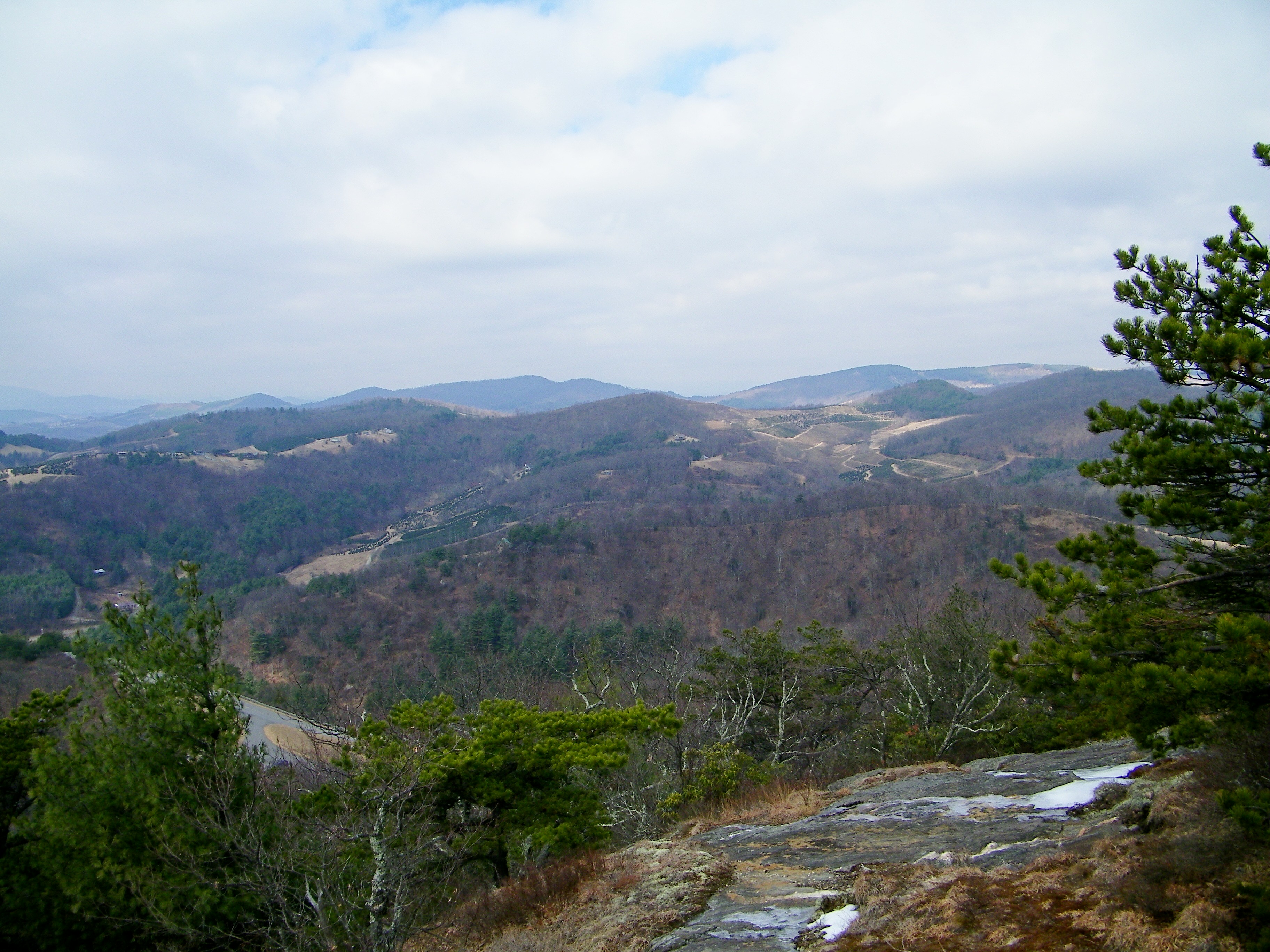
Parkway 256
the view
Virginia Hills
Mountain view from the meadow above our cabin
Bluff Mountain Trail

Bluff Mountain Trail
Bluff Mountain Trail
Mountain View

Doughton Park - Blue Ridge Parkway
Bluff Mountain Trail
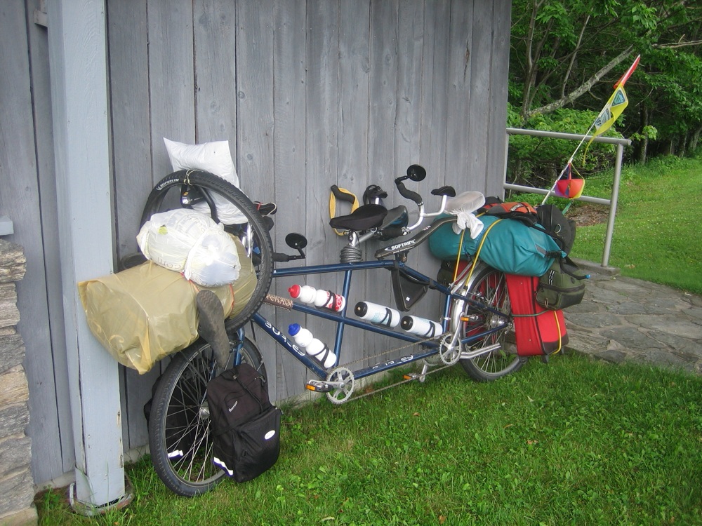
loaded tandem
View from milepost 242.3, Blue Ridge Parkway
Mountain view just up the hill from our cabin

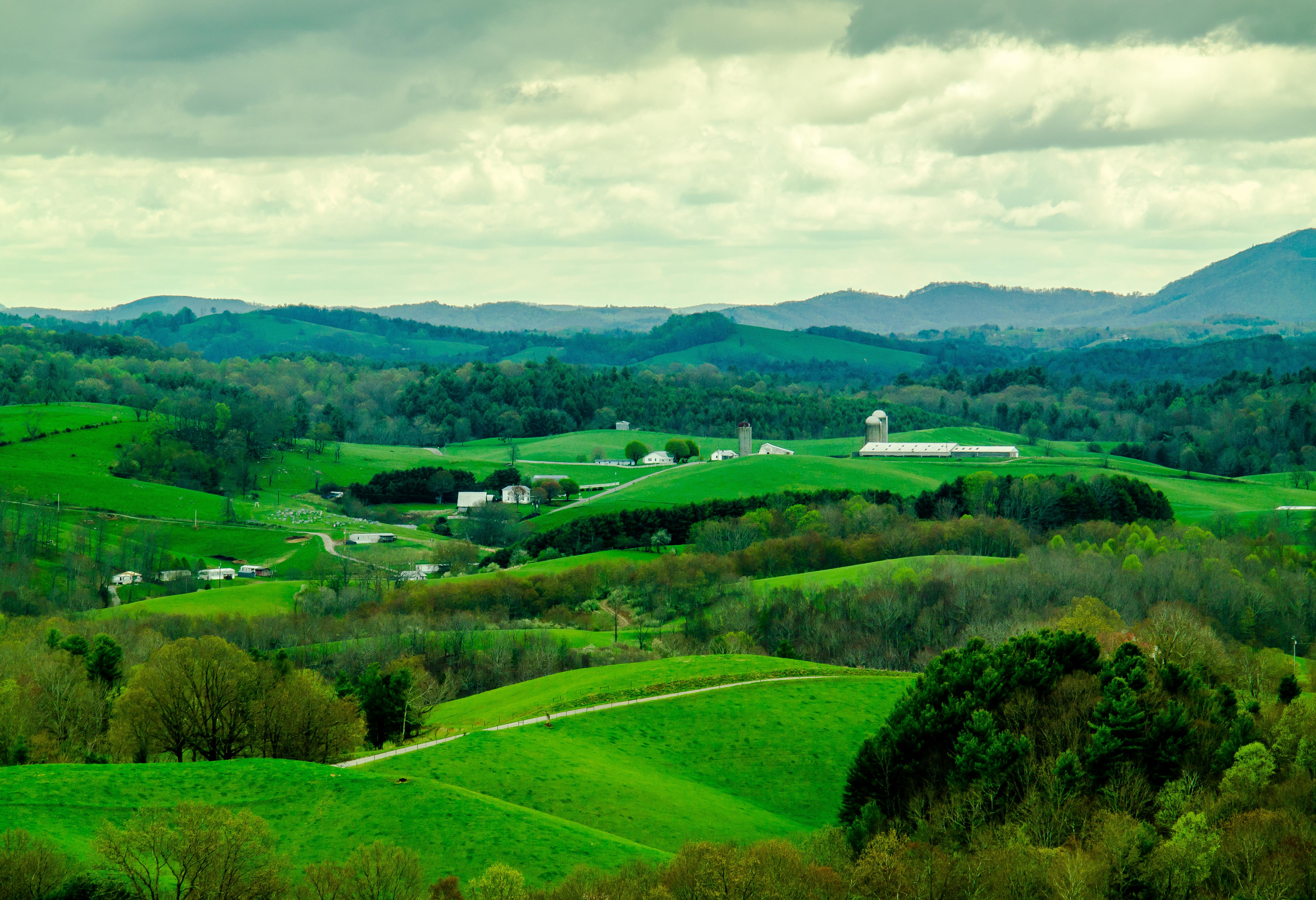
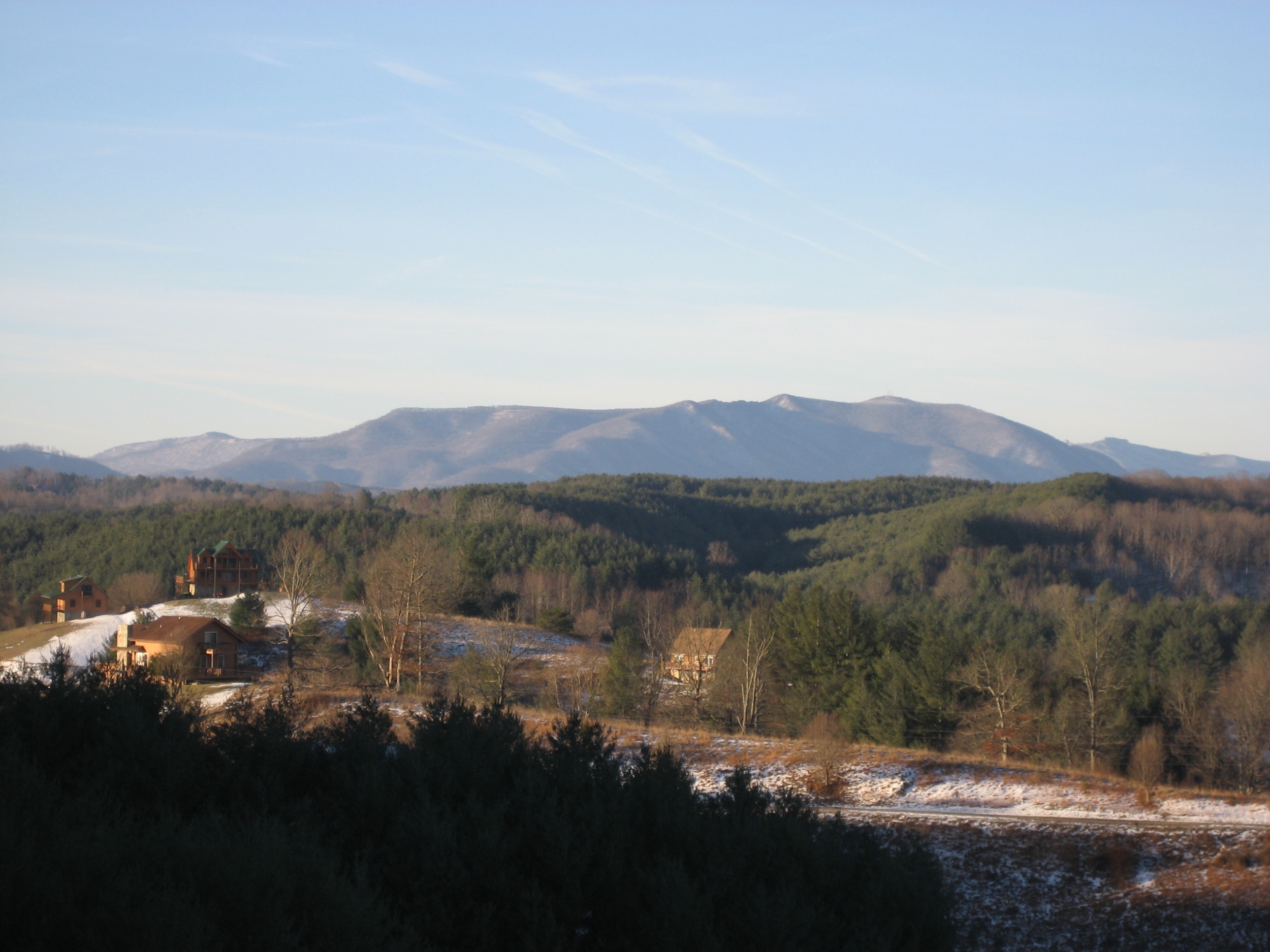
SWVA -- My Second Home

Photo Mar 01, 5 04 24 PM
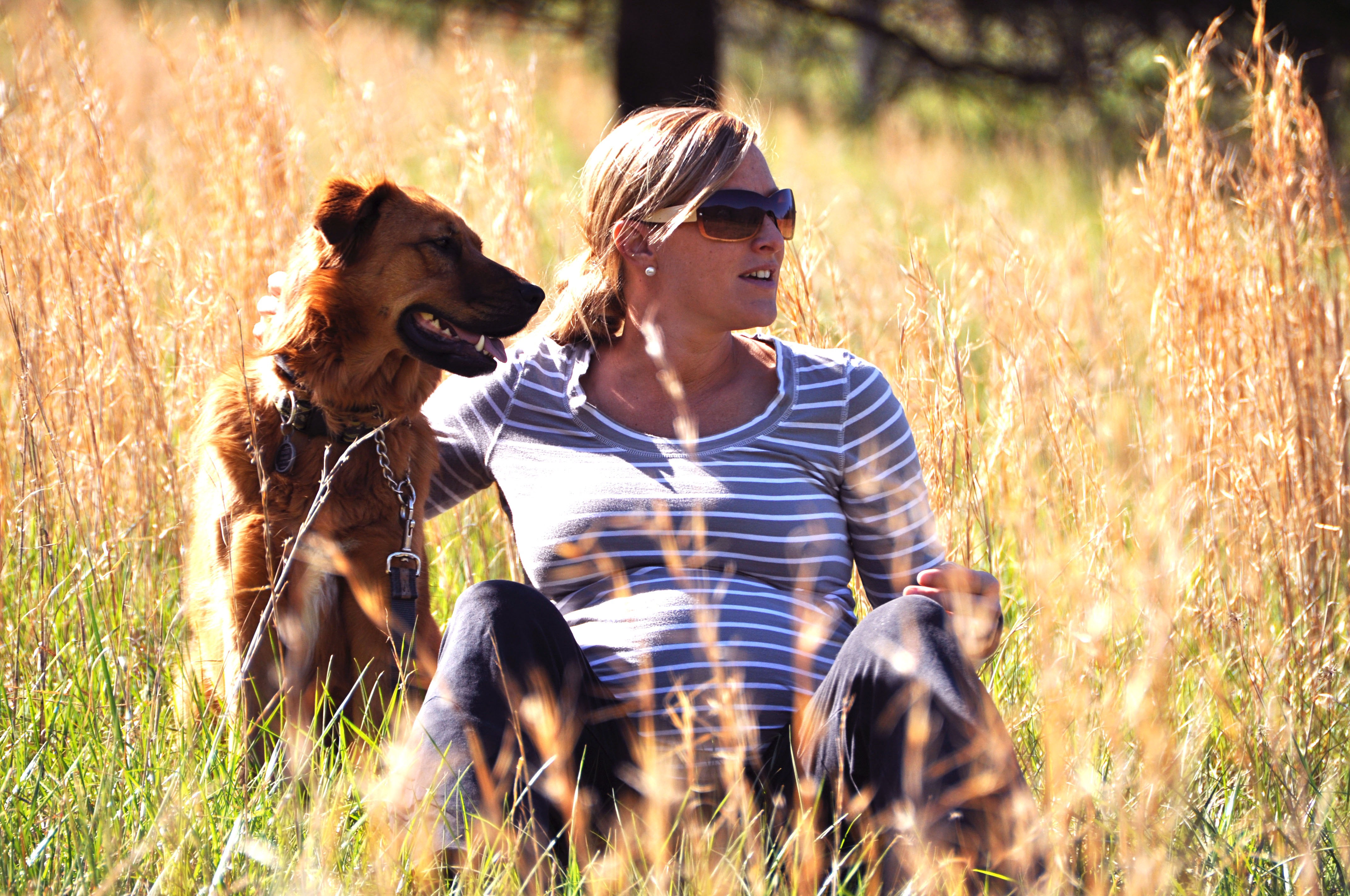
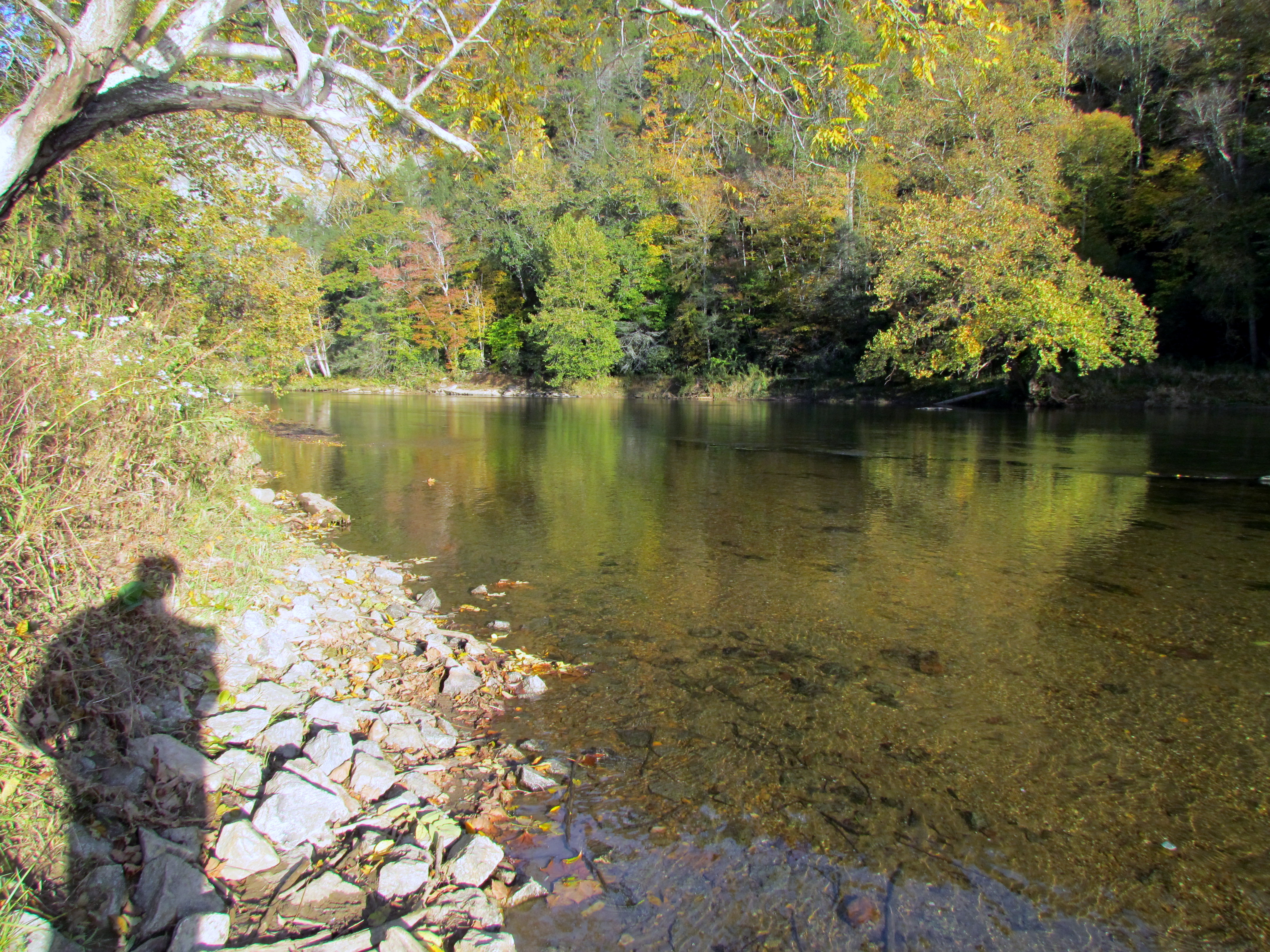
river and her momma to be

Blue Ridge Parkway

Photo Mar 01, 4 06 24 PM

Photo Mar 01, 4 59 01 PM

Blue Ridge Parkway

Photo Mar 01, 4 07 05 PM
Fall Hike at Mount Jefferson
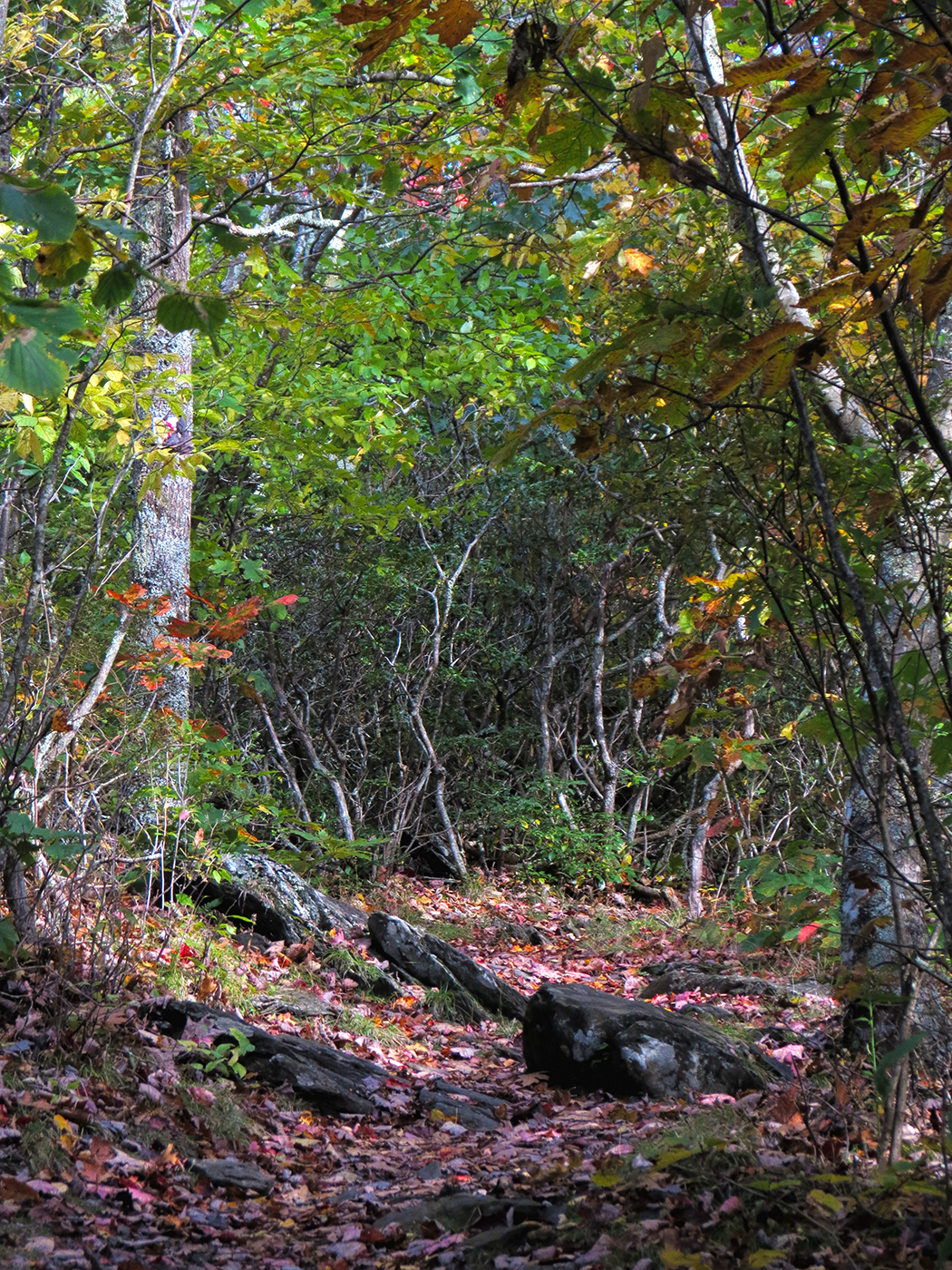
Through The Grass

Photo Mar 01, 4 06 42 PM
Allegany Section New River State Park 20111009 4474
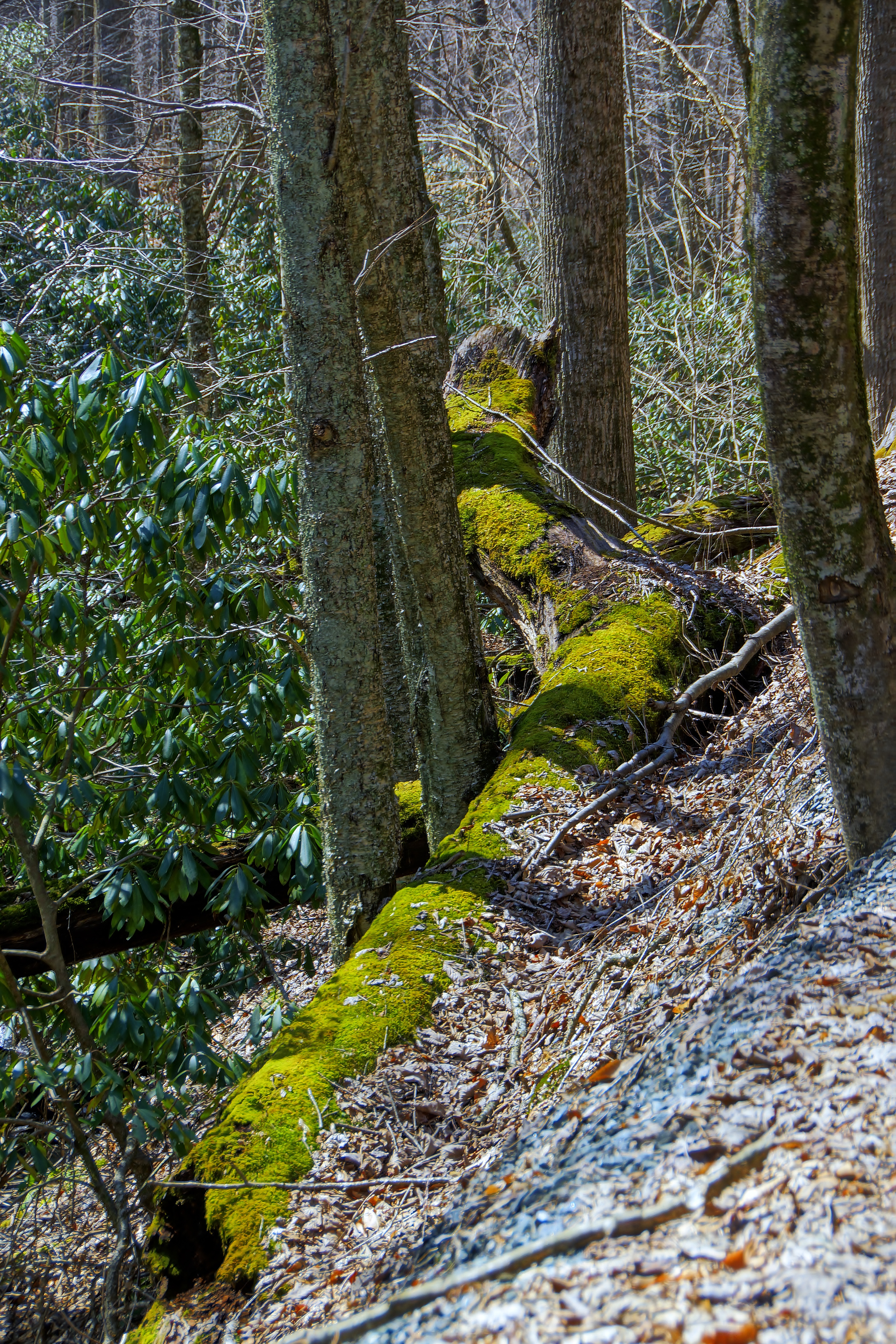
96/365: Moss-covered log
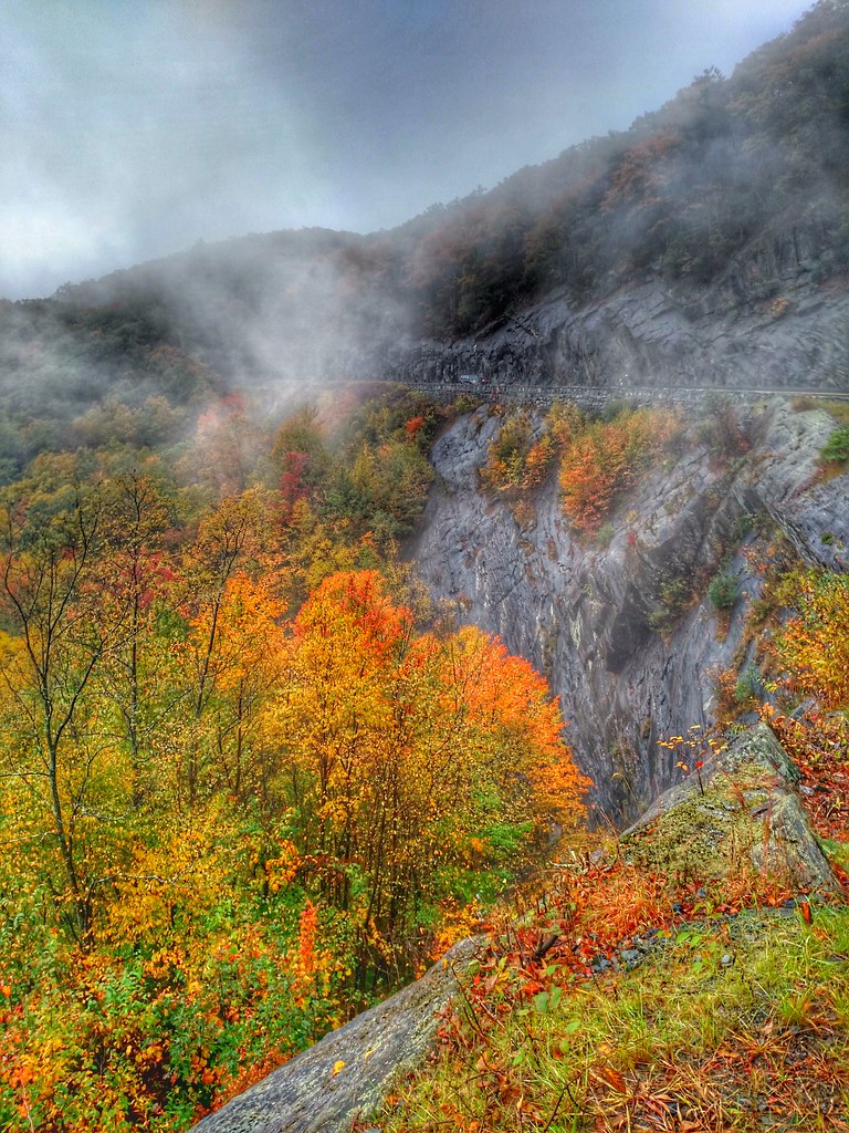
october mountain autumn
Blue Ridge Field Pano
Rocks trees and sky
After the storm
Topographic Map of Chestnut Hill, NC, USA
Find elevation by address:

Places in Chestnut Hill, NC, USA:
Places near Chestnut Hill, NC, USA:
Chestnut Hill Road
10779 Us-221
New River State Park
Crumpler, NC, USA
8832 U.s. Hwy 221 N
George McMillan Rd, Crumpler, NC, USA
666 Cranberry Creek Rd
454 Hoke Wagoneer Rd
426 Tom Absher Rd
800 Tom Absher Rd
369 John Baker Rd
369 John Baker Rd
369 John Baker Rd
369 John Baker Rd
369 John Baker Rd
369 John Baker Rd
248 Overlook Dr
985 Cranberry Creek Rd
985 Cranberry Creek Rd
657 Cranberry Creek Rd
Recent Searches:
- Elevation of Rojo Ct, Atascadero, CA, USA
- Elevation of Flagstaff Drive, Flagstaff Dr, North Carolina, USA
- Elevation of Avery Ln, Lakeland, FL, USA
- Elevation of Woolwine, VA, USA
- Elevation of Lumagwas Diversified Farmers Multi-Purpose Cooperative, Lumagwas, Adtuyon, RV32+MH7, Pangantucan, Bukidnon, Philippines
- Elevation of Homestead Ridge, New Braunfels, TX, USA
- Elevation of Orchard Road, Orchard Rd, Marlborough, NY, USA
- Elevation of 12 Hutchinson Woods Dr, Fletcher, NC, USA
- Elevation of Holloway Ave, San Francisco, CA, USA
- Elevation of Norfolk, NY, USA