Elevation of Cherry Cairn, Colorado, USA
Location: United States > Colorado > Mineral County >
Longitude: -107.03198
Latitude: 37.4677835
Elevation: 3775m / 12385feet
Barometric Pressure: 63KPa
Elevation Map:
Satellite Map:
Related Photos:
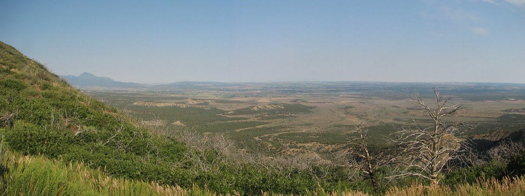
West Fork View From Wolf Creek Pass Overlook
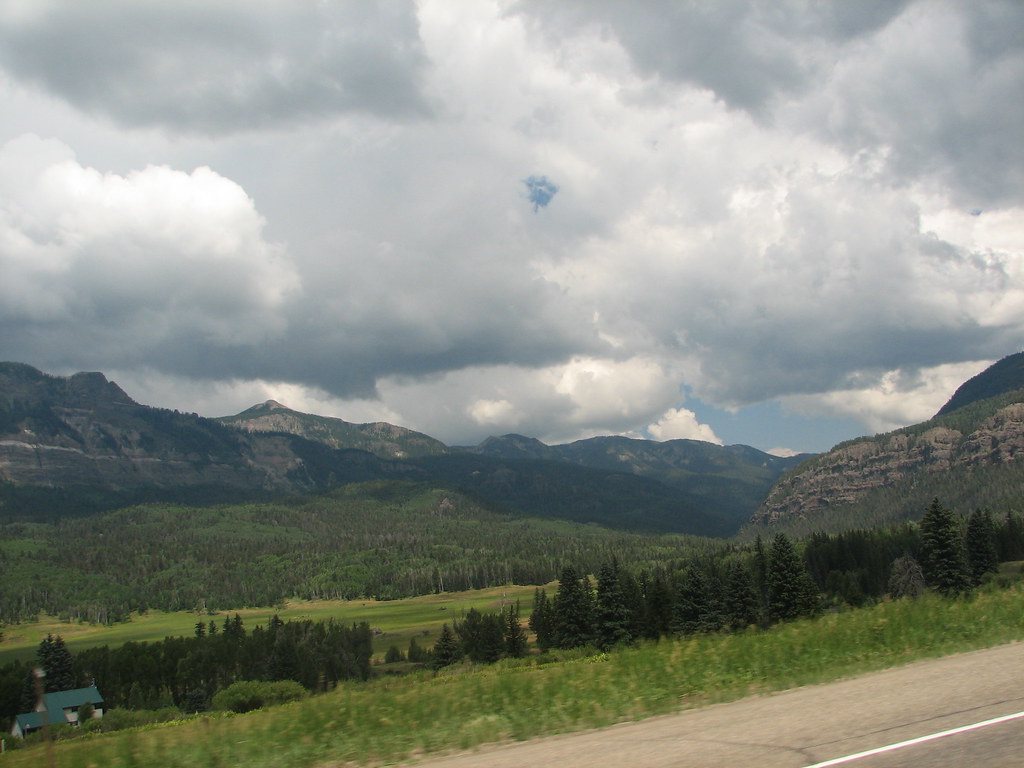
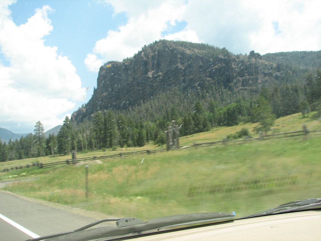
View From Four Mile Road
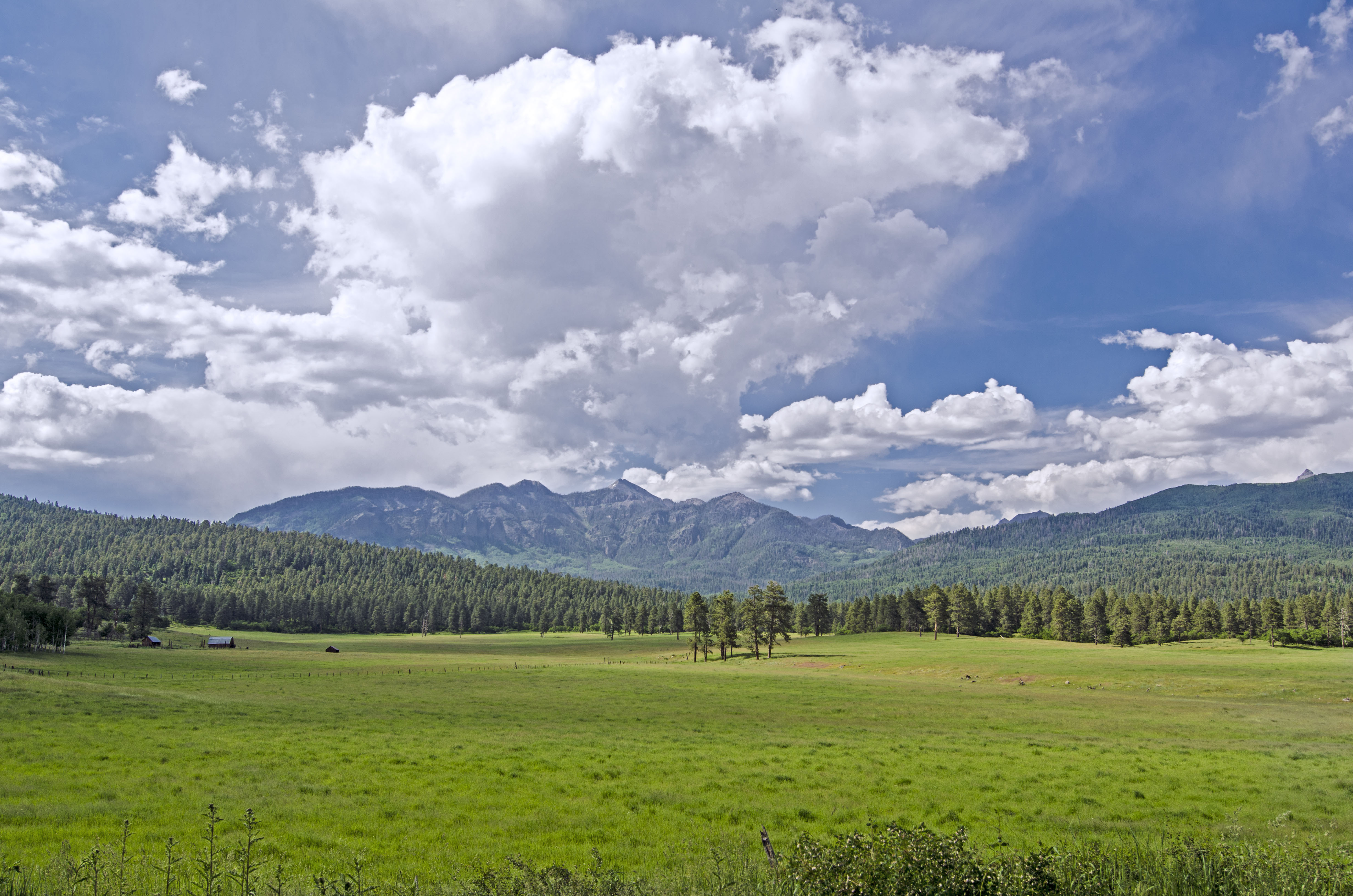
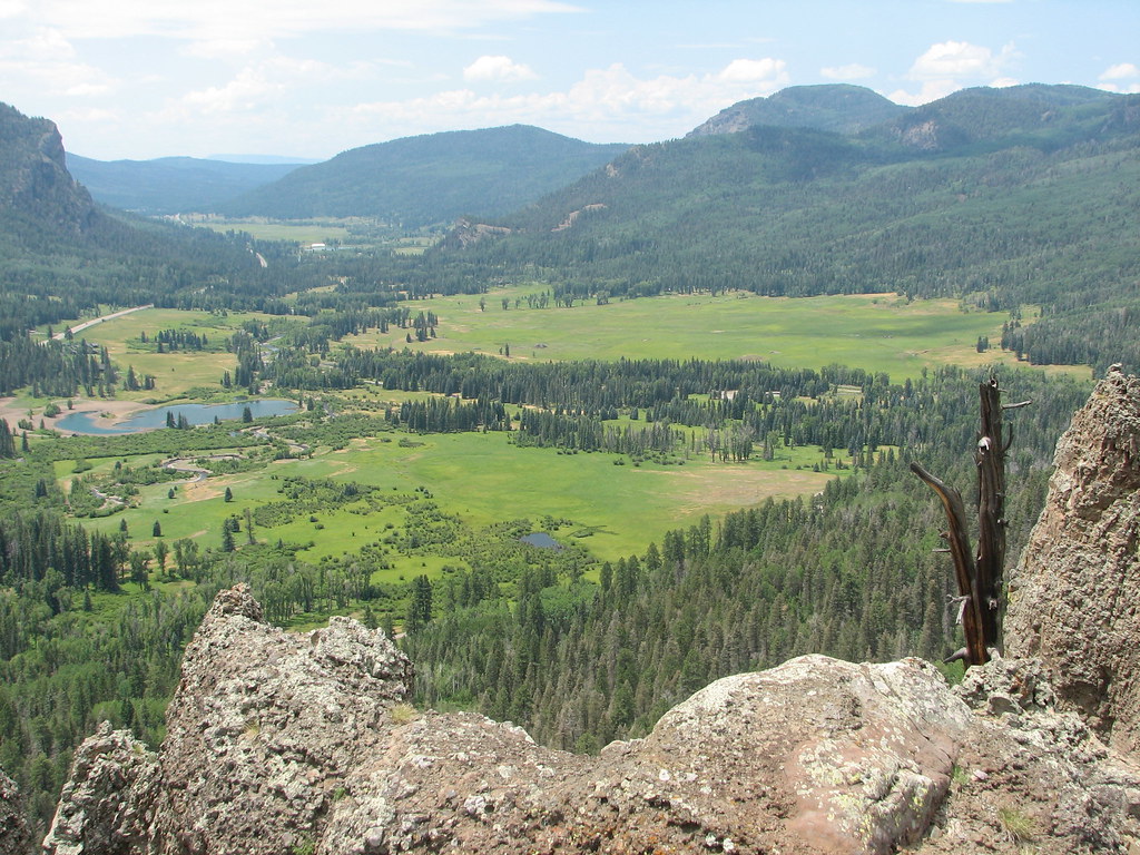
View from the Mountain Overlook.
The Lookout
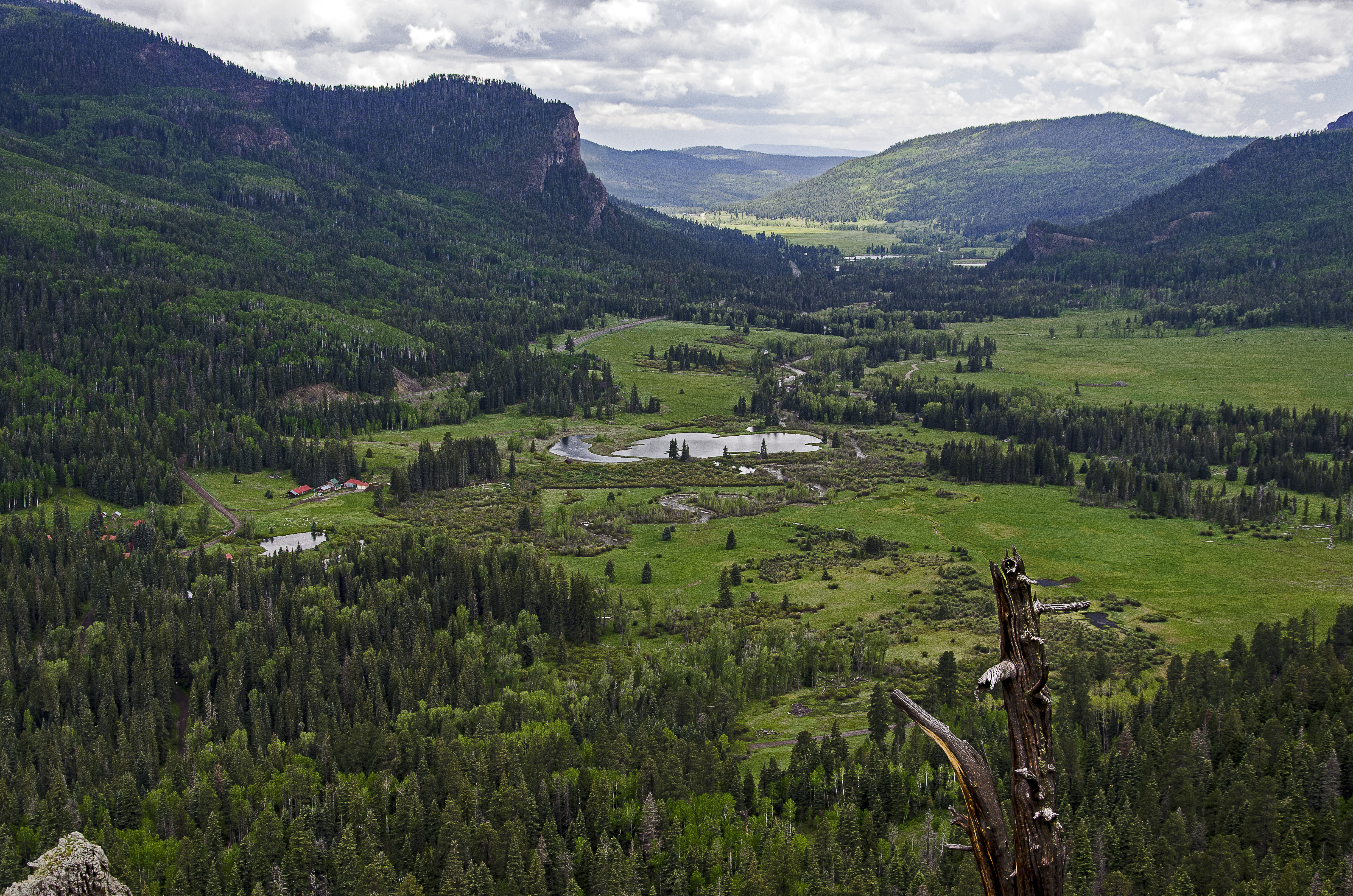
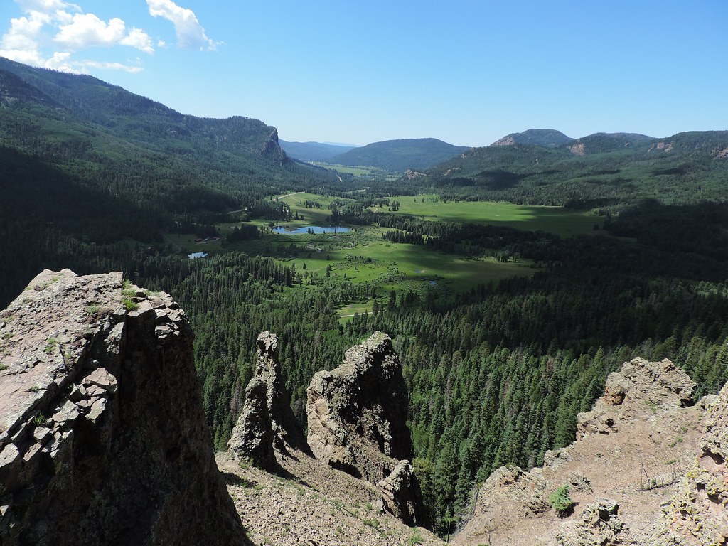
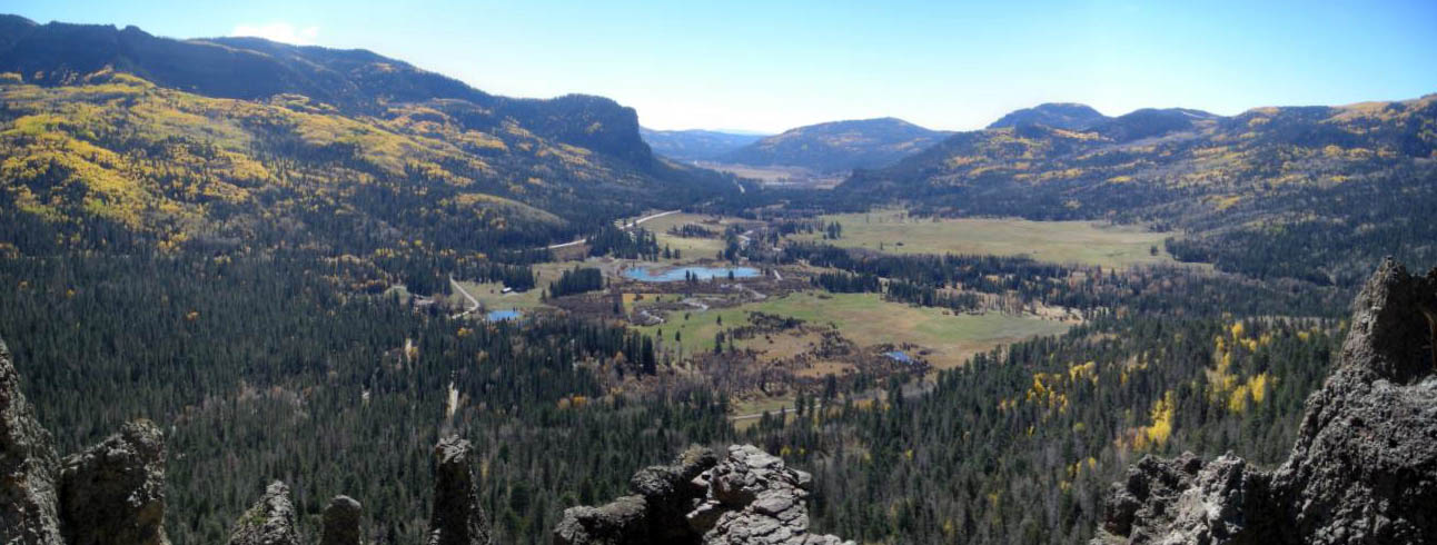
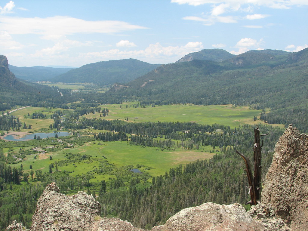
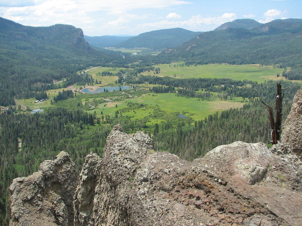
Big view
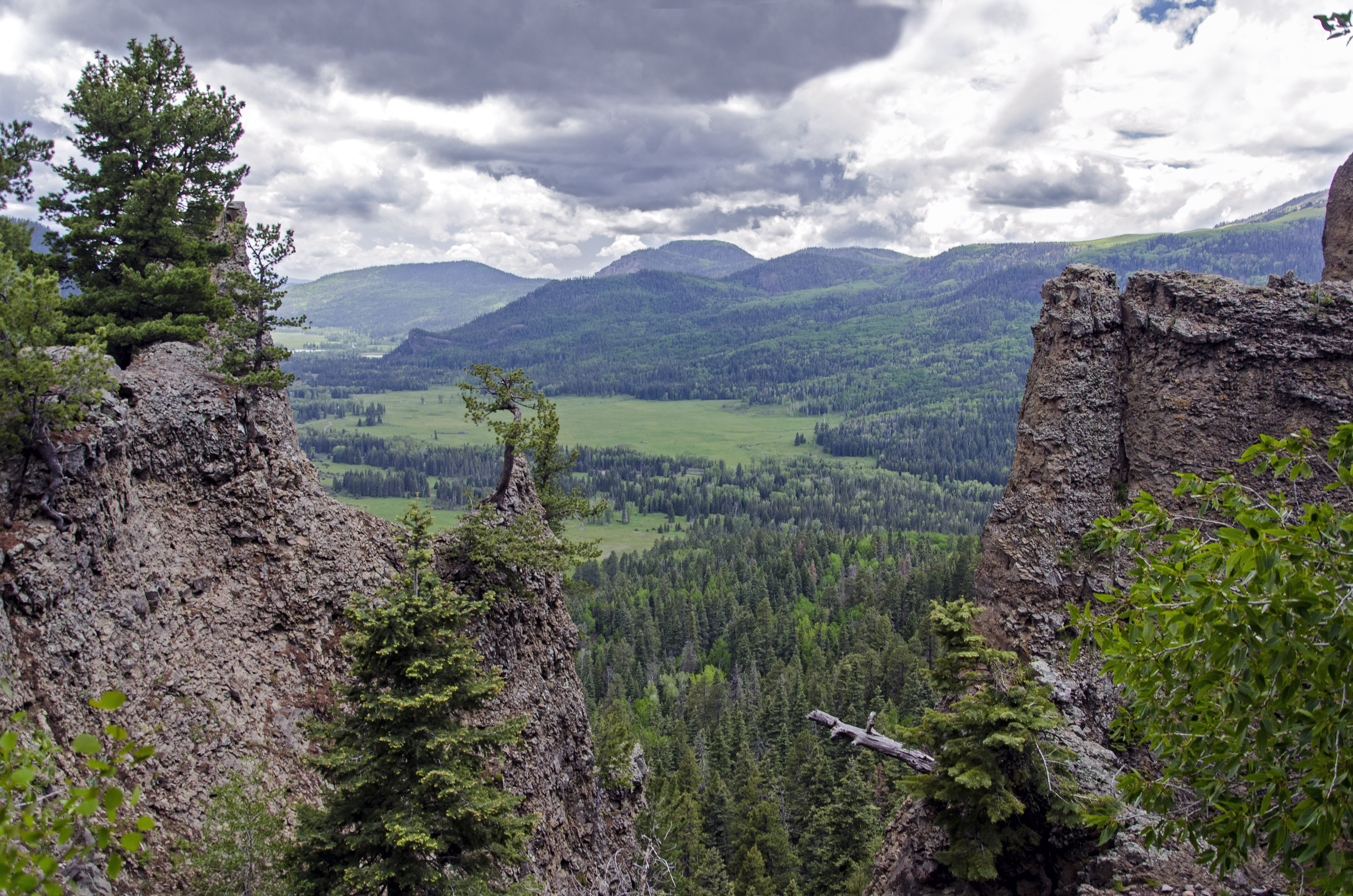
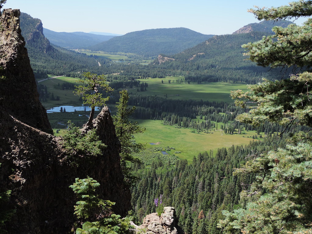
Valley view
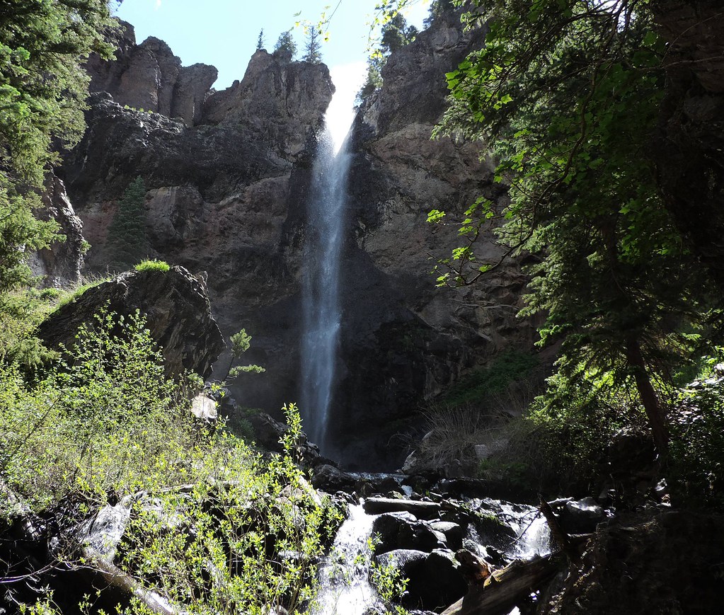
Treasure falls

Treasure falls
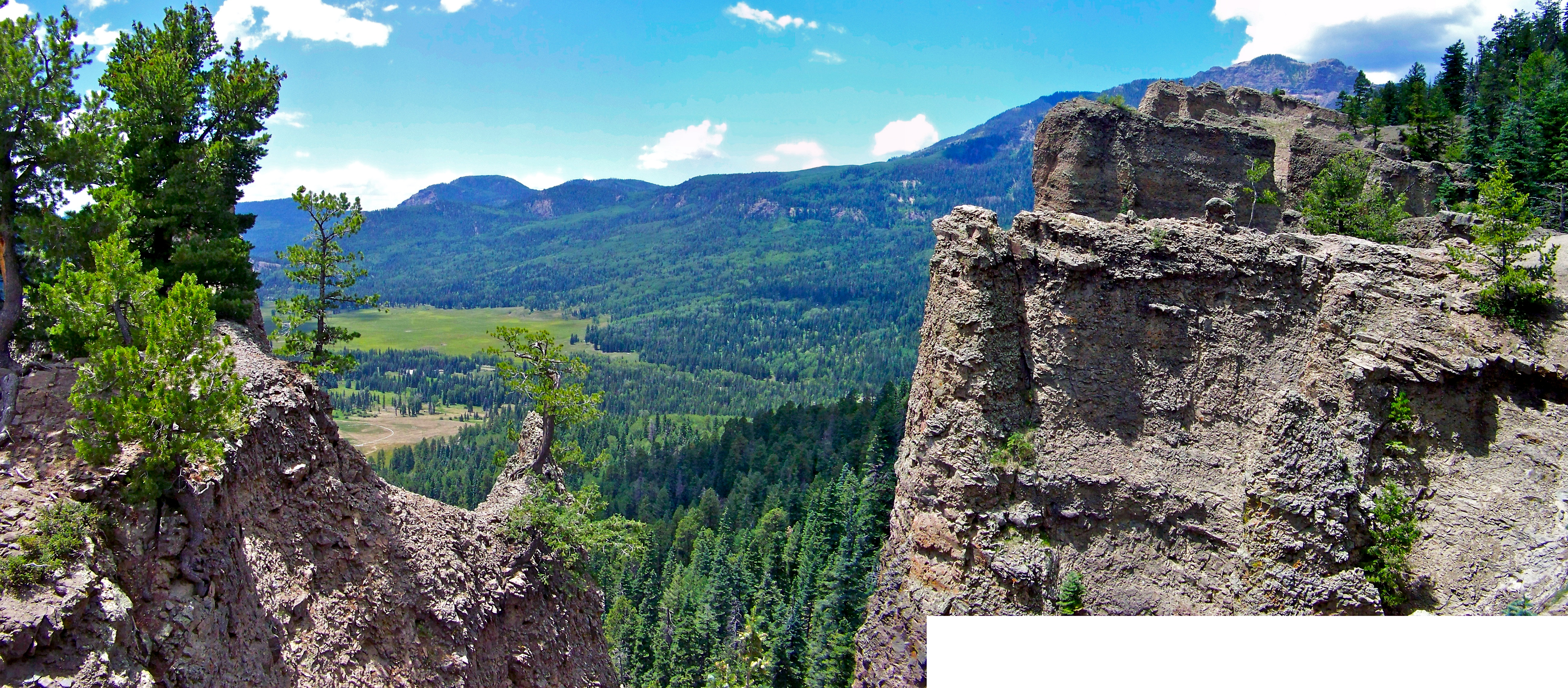
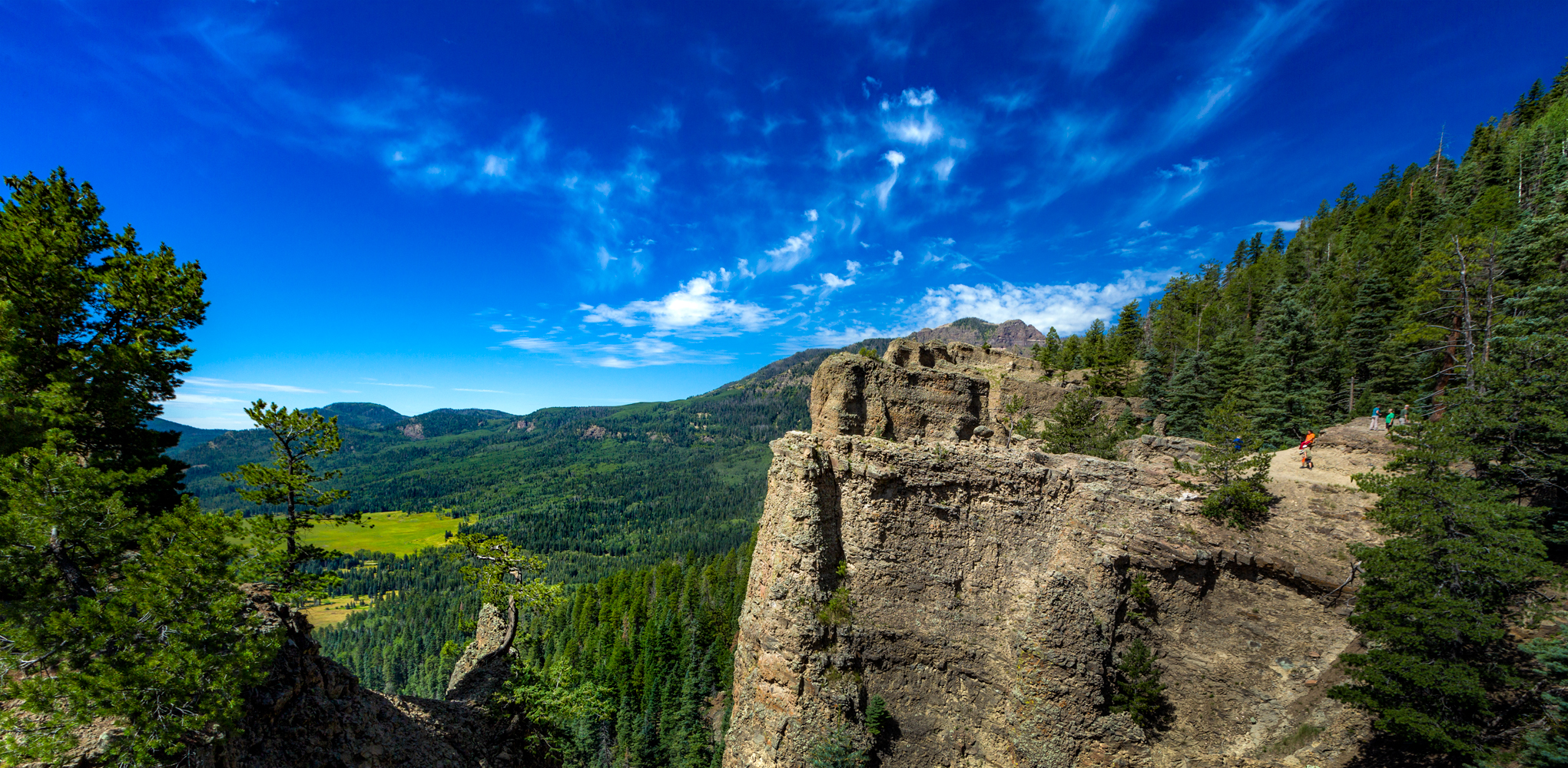
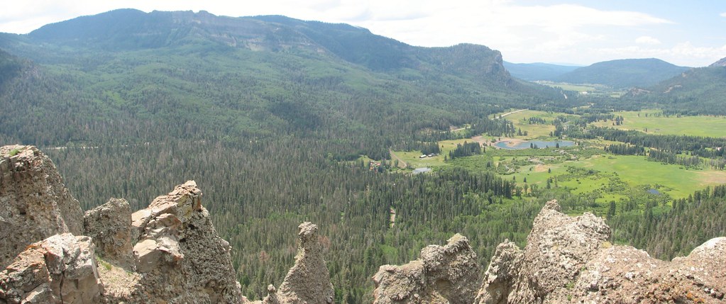
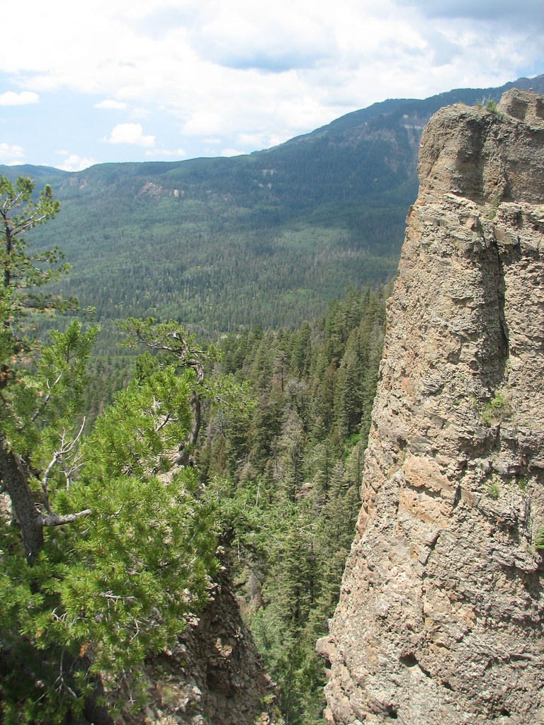
Cliff Face Panorama
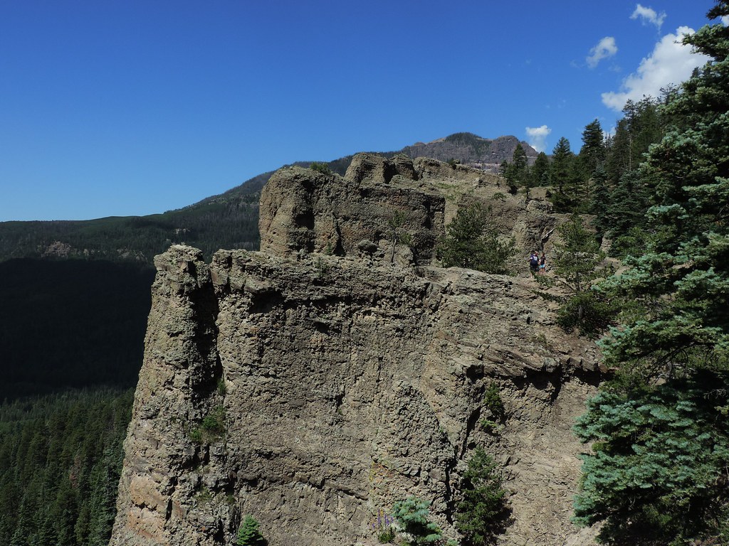
Cliff ledges
Wolf Creek Overlook
Mesa Verde, durango

Mesa Verde, durango
Mesa Verde, durango
Mesa Verde, durango
Mesa Verde, durango
Mesa Verde, durango

Mesa Verde, durango
Mesa Verde, durango
Mesa Verde, durango
Mesa Verde, durango
Topographic Map of Cherry Cairn, Colorado, USA
Find elevation by address:

Places near Cherry Cairn, Colorado, USA:
Eagle Mountain
Pagosa Peak
Sugarloaf Mountain
Toner Mountain
Hidden Valley Ranch
2500 Sonlight Pl
601 Piney Pl
3805 Co Rd 400
942 Hidden Valley Dr
Kleckner Lane
3508 Co Rd 400
Swiss Village Drive
23 Monkshood Dr
92 Red Ryder Cir
8901 Co Rd 600
8901 Co Rd 600
419 Incline Cir
161 Emerald Pl
73 Emerald Pl
1481 Steven's Lake Rd
Recent Searches:
- Elevation of Corso Fratelli Cairoli, 35, Macerata MC, Italy
- Elevation of Tallevast Rd, Sarasota, FL, USA
- Elevation of 4th St E, Sonoma, CA, USA
- Elevation of Black Hollow Rd, Pennsdale, PA, USA
- Elevation of Oakland Ave, Williamsport, PA, USA
- Elevation of Pedrógão Grande, Portugal
- Elevation of Klee Dr, Martinsburg, WV, USA
- Elevation of Via Roma, Pieranica CR, Italy
- Elevation of Tavkvetili Mountain, Georgia
- Elevation of Hartfords Bluff Cir, Mt Pleasant, SC, USA