Elevation of Cherokee Trail, Loomis, CA, USA

Location: United States > California > Placer County > Loomis >

Longitude: -121.17745

Latitude: 38.829786

Elevation: 136m / 446feet

Barometric Pressure: 100KPa

Elevation Map:

elevation map of Cherokee Trail, Loomis, CA, USA

Satellite Map:

Satellite map of Cherokee Trail, Loomis, CA, USA

Related Photos:

nature california placercounty auburn snow
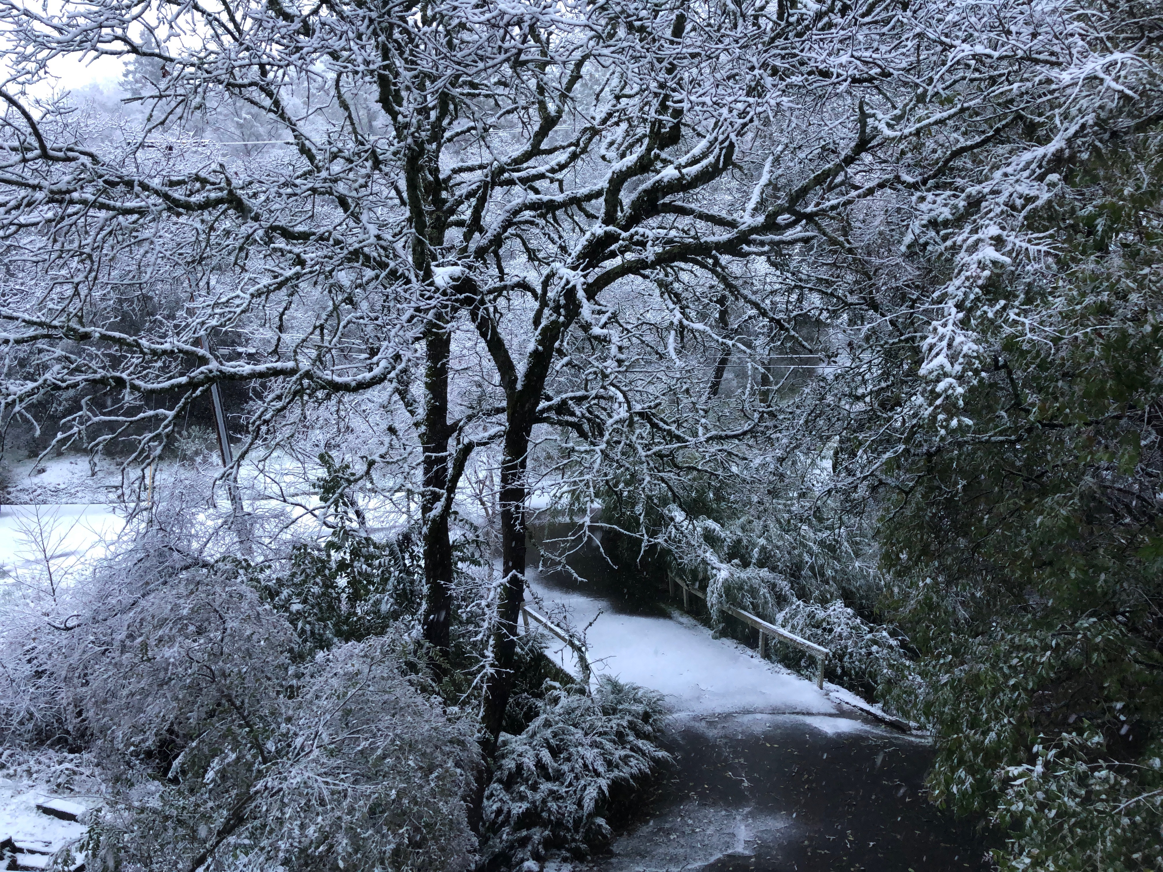
Snow on the ground, Auburn, Placer County, California
california bridge sunrise dawn railtrack 18200f3556gvr infinitexposure
Dawn View from Crooked Bridge
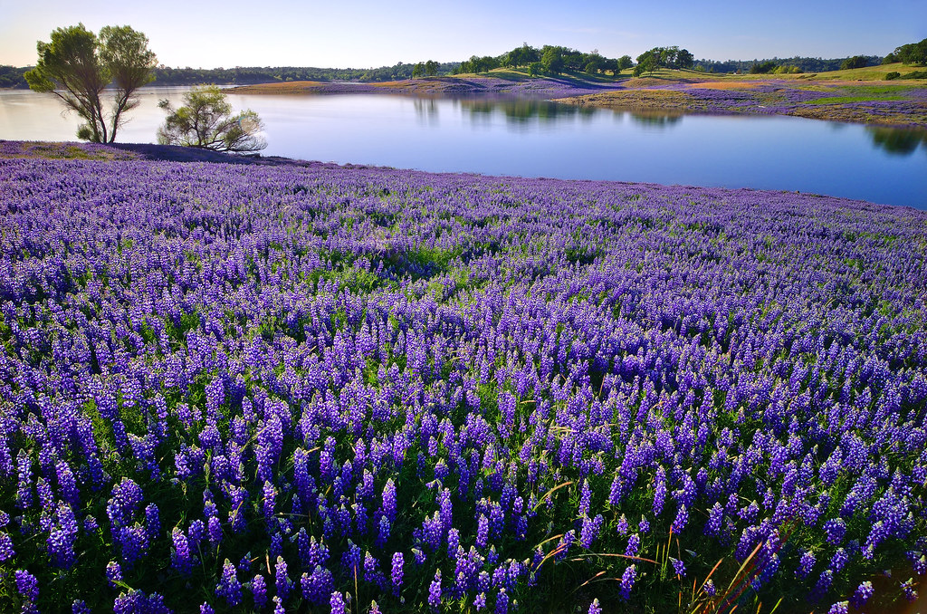
trees light color water northerncalifornia landscape spring nikon wildflowers lupines folsomlake rattlesnakebar fieldofflowers folsomlakerecreationarea
Folsom Lake Lupines
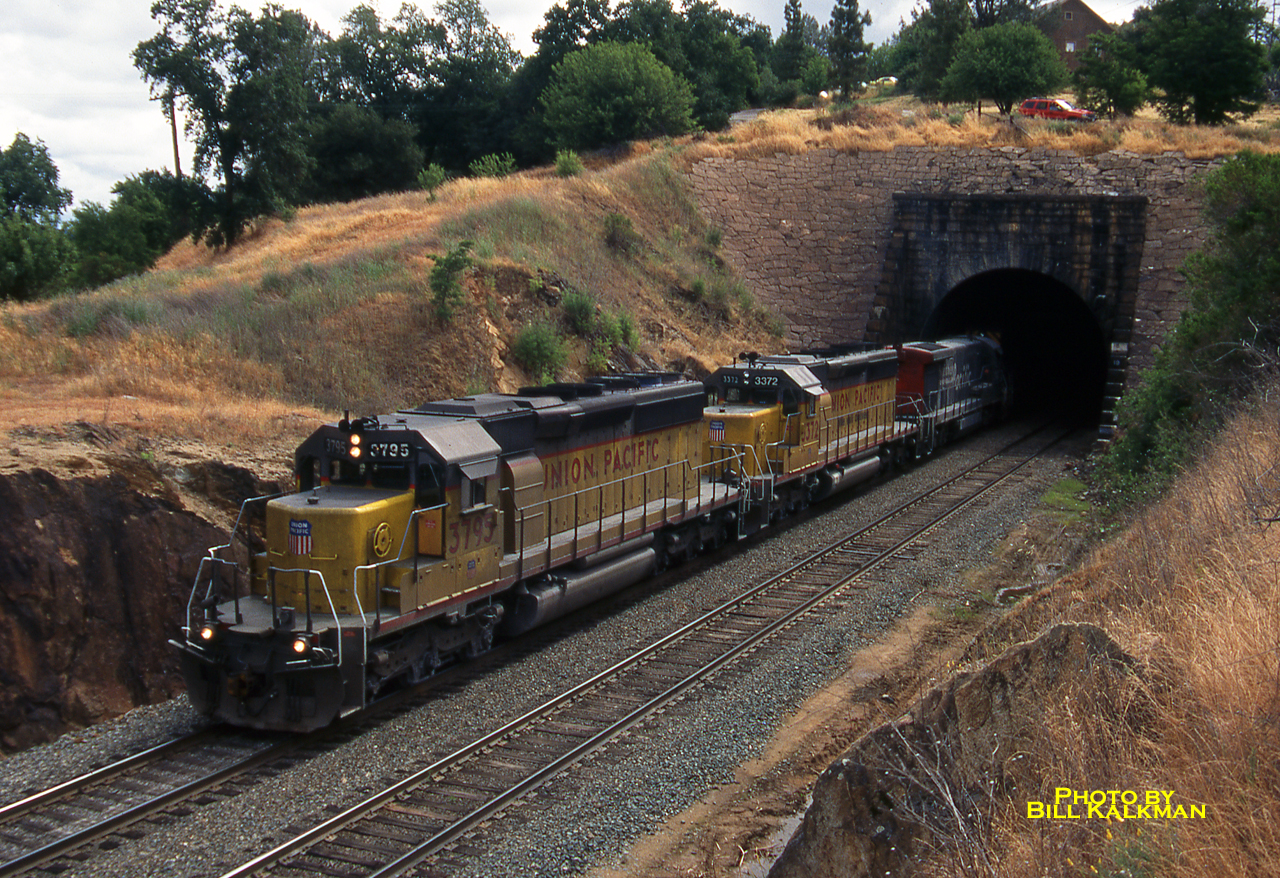
1999 06-03 1007-1 UP SD40-2-3795 W/B Newcastle, CA
county blue bird heron canon photo stream native photograph ravine egret placer miners placercounty roseville wildllife vetch 40d explorer123 familygetty
Blue Heron In Vetch 0893
california history 20d canon photo cityscape auburn historic photograph courthouse sacramento hdr placercounty supershot familygetty
Historic Auburn HDR 4115
sunset silhouette nature sun sky outdoor person sea young beach travel beautiful landscape water view ocean beauty vacation evening lifestyle adult happy free life orange male black man sunlight freedom sand dusk background palm portrait holiday coast joy alone sundown standing abstract scenic psalm dramatic thought contemplation 400mm f4 do is
Afternoon Reflection 1794
church country rural storm sky religion architecture hdr building landscape christian christianity old chapel historic summer travel scenic historical weather worship white clouds countryside nature dramatic steeple scenery tower cross holy faith small green cloud wood scene religious house stormy history jesus thunderstorm view danger dark saskatchewan beautiful spiritual blue catholic rocklin placer county california northern
Winter At The Old Church 5621
aerialview dji outdoor phantom4pro dam dreyerpicturescom drone folsomdam landscape lowlight sunset water eldoradohills california unitedstatesofamerica
Folsom Dam - Brown's Ravine
dji gx8 lumix m43 m43ftw microfourthirds mirrorless outdoor panasonic phantom4pro aeirialview clouds dreyerpicturescom drone folsomdam landscape water
Folsom Dam
dji gx8 lumix m43 m43ftw microfourthirds mirrorless outdoor panasonic phantom4pro aeirialview clouds dreyerpicturescom drone folsomdam landscape water granitebay california unitedstatesofamerica us
Folsom Dam, Granite Bay side
color tree bicycle project day ride 1000 977
Day 977: Roseville_1701d
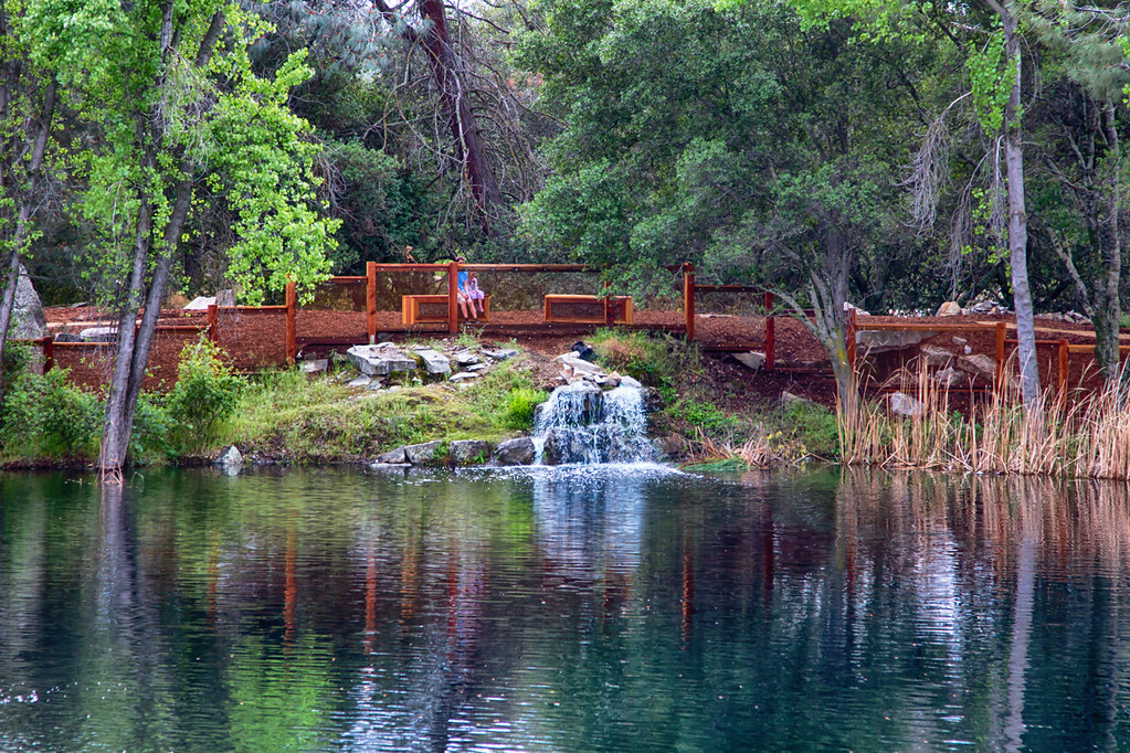
ca usa water rock moss auburn falls trail february 2010 americanriver sierranevadafoothills auburnsra blackholeofcalcuttafalls
Grotto of the Falls
pond lake tree sunset ducks geese water stream placer county reflection pool landscape placercounty canon 20d photo photograph
The Pond 046
bailey yellowlab labradorretriver roseville placercounty california iphone6s iphoneography flickrfriday lowangle squareformat
Bailey....floor view!
stephanie hugheswhite
Stephanie Hughes-White_1806
california red bird 20d field fauna canon photo spring native 300mm photograph sacramento winged blackbird placercounty rocklin f4l copyrightedmaterialallrightsreserved copyrightedallrightsreserved familygetty2010 familygetty
Windy Spring Day 6547
kite bird 20d northerncalifornia canon photo hawk flight beak feathers 300mm talon photograph american raptor falcon prey norcal kestrel placercounty roseville upland rocklin 14x f4l copyrightedmaterialallrightsreserved copyrightedallrightsreserved
Kestrel With Prey
derelict california weatherbeaten abandoned landscape rustyandcrusty sierranevadafoothills rustycrusty canonef24105mmf4lisusm placercounty canon5dmarkiii topazstudio lightroom6 abandonedtractor auburn abandonedhomestead
40 Acres and a Mule
reservoir folsomlake lake landscape california ca water usa
Folsom Lake
Rock Wren
california bridge river interestingness explore 16 placercounty americanriver goldcountry nohandsbridge sfchronicle96hrs
No Hands Bridge
california fence rocklin 70200mmf28gvrll nikond750
Green and Blue with Infrastructure
california ca sunset sky sun lake tree nature water clouds sunrise landscape rocks folsom sacramento folsomlake bidun sergeybidun
Folsom Lake
california wildfire landscape burn burning smoke surreal skies sky dangerous
California Looks Appcalyptic 3275
park blue light shadow wild sky orange moon white black tree art fall nature beautiful beauty field grass animal silhouette night season landscape evening photo branch natural outdoor wildlife hill scenic meadow peaceful doe luna deer moonrise environment moonlight lunar grazing
Deer In Moonlight 0868
xt3 landscape bridge placercounty water reflections nohandsbridge fuji auburn statepark fujifilm auburnstaterecreationarea
DSCF6259.jpg
park lake industry nature water rock stone kids landscape outdoors pond mine industrial open natural digging background working large pit equipment granite land mineral ore quarry gravel rocklin
Quarry Park Pond 0872
park white mountain lake plant industry ecology rock stone truck work landscape site pond construction mine raw industrial factory technology open earth digging machine pit equipment machinery soil granite mineral material dust conveyor heavy job dig quarry gravel digger polished crusher excavator excavation excavate quarrying
Old Quarry Truck 0856
dji gx8 lumix m43 m43ftw microfourthirds mirrorless outdoor panasonic phantom4pro aeirialview clouds dreyerpicturescom drone folsomdam landscape water
Folsom Dam
california foothills tree 20d canon wagon landscape photo stream hills photograph valley western meander sacramento prairie plains placercounty roseville upland rocklin explorer135 ameanderingstream familygetty
Meandering 0901