Elevation of Cherokee County, SC, USA
Location: United States > South Carolina >
Longitude: -81.603506
Latitude: 35.0120404
Elevation: 204m / 669feet
Barometric Pressure: 99KPa
Elevation Map:
Satellite Map:
Related Photos:

Dorman @ Gaffney

Dorman @ Gaffney

A Peachy View

Goodbye Gaffney

Whoa!

To view peach (again)...

Limestone College
Gaffney Number 2
State Route 11, Chesnee Highway, Near Gaffney, South Carolina
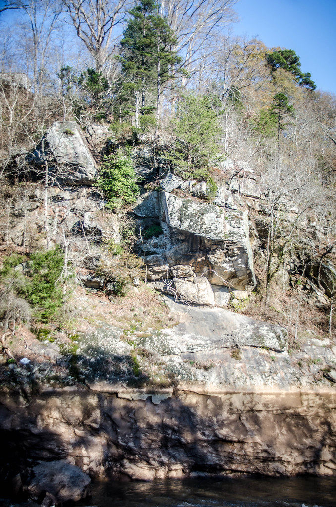
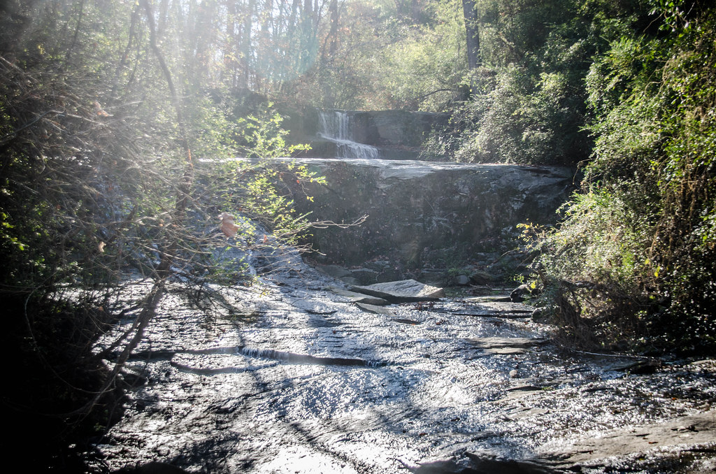
Pacolet River Trail-049

Pacolet River Trail-050
Pacolet River Trail-052
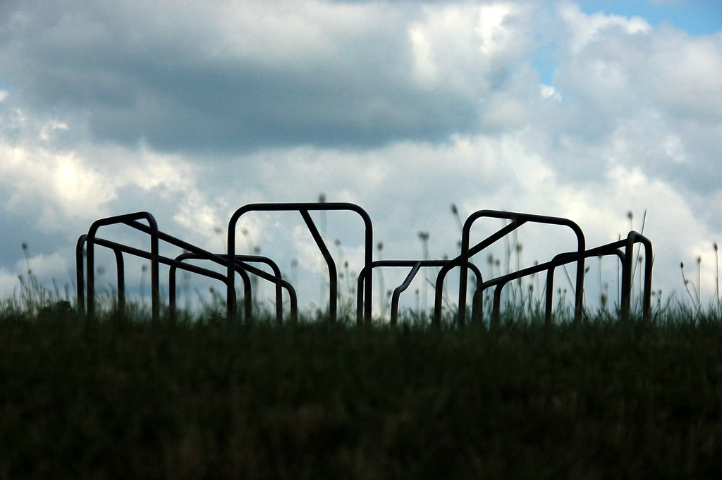
Old Merry-go-round
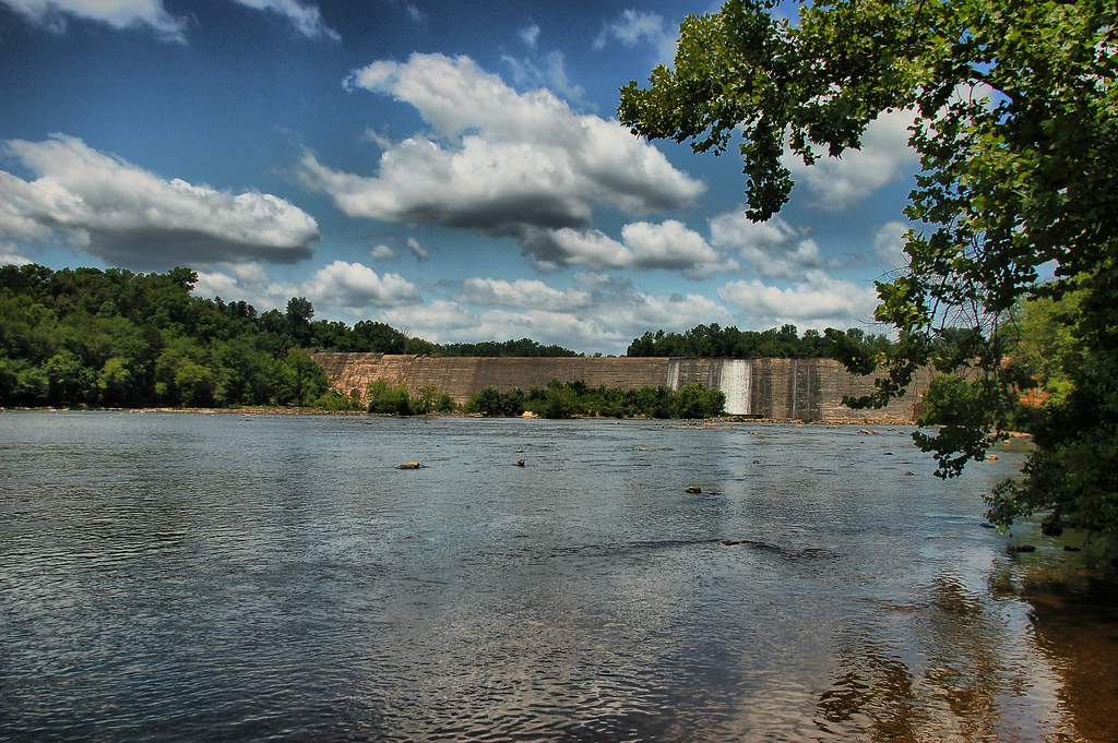
99 Islands Dam
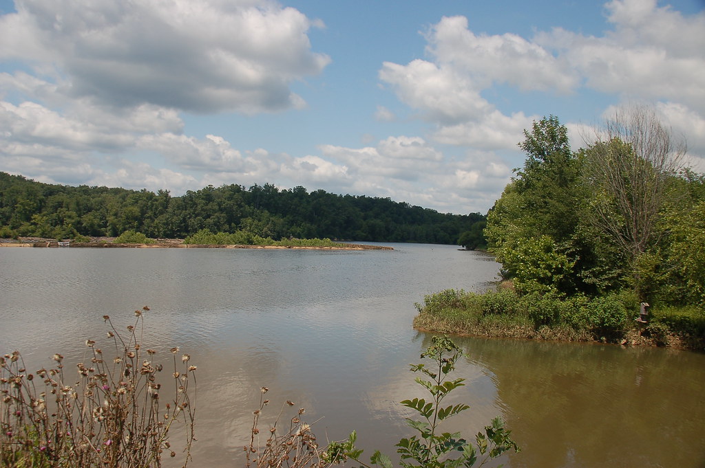
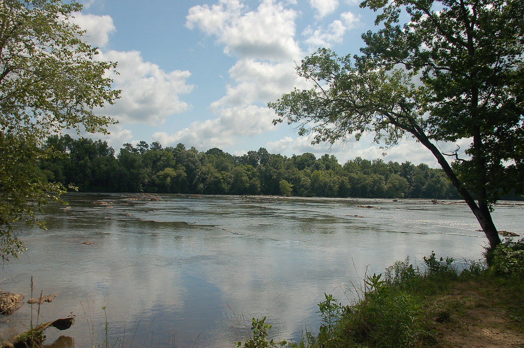
Broad River at Cherokee Falls
Broad River from Cherokee Falls
Cherokee Ford on the Broad River

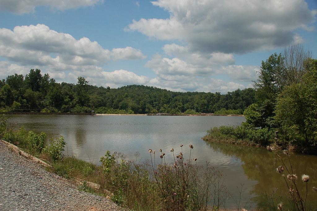
Ninety-Nine Islands Dam Access

Ninety-Nine Islands Dam

Ninety-Nine Islands Dam Access

Broad River at Pick Hill

Weird Tennis Court
Pacolet River Trail-036
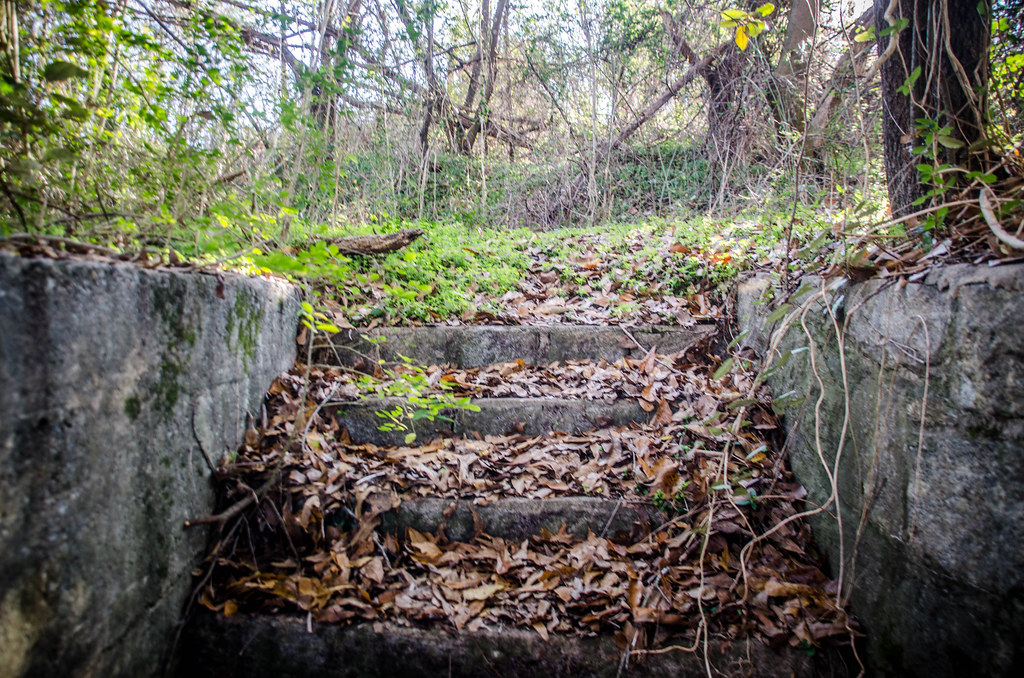
Pacolet River Trail-037
Pacolet River Trail-024
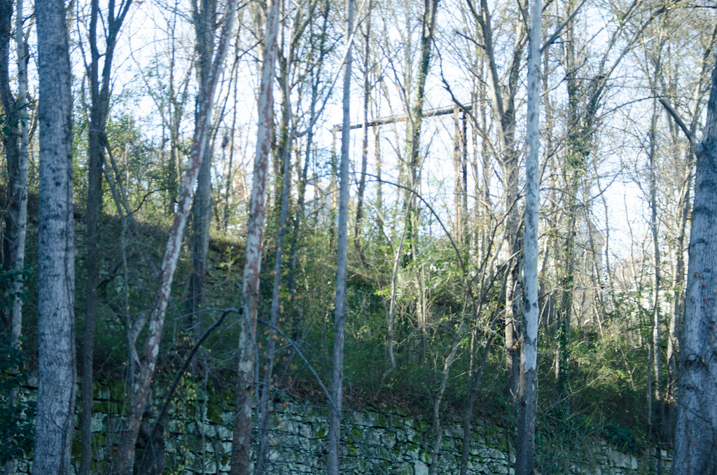
Pacolet River Trail-017
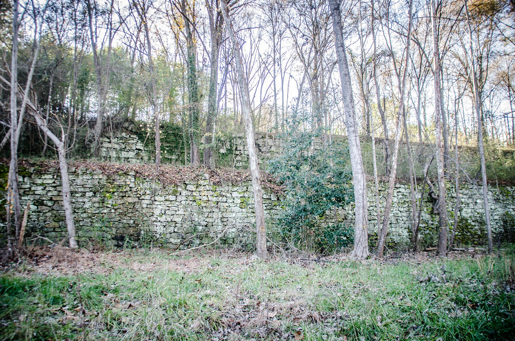
Pacolet River Trail-014
Topographic Map of Cherokee County, SC, USA
Find elevation by address:

Places in Cherokee County, SC, USA:
Places near Cherokee County, SC, USA:
Draytonville Rd, Gaffney, SC, USA
146 Pipeline Dr
Serene Dr, Gaffney, SC, USA
Gaffney
West Floyd Baker Boulevard
West Floyd Baker Boulevard
West Floyd Baker Boulevard
153 Speedway Rd
163 Moda Rd
Lakewood Acres Dr, Gaffney, SC, USA
Grassy Pond Creek Road
S Green River Rd, Gaffney, SC, USA
Shady Acres Rd, Spartanburg, SC, USA
223 New Pleasant Rd
Bennett Dairy Rd, Spartanburg, SC, USA
154 Bishop Dr
208 N Georgia Ave
Chesnee
188 Eagle Ridge Dr
188 Eagle Ridge Dr
Recent Searches:
- Elevation of Corso Fratelli Cairoli, 35, Macerata MC, Italy
- Elevation of Tallevast Rd, Sarasota, FL, USA
- Elevation of 4th St E, Sonoma, CA, USA
- Elevation of Black Hollow Rd, Pennsdale, PA, USA
- Elevation of Oakland Ave, Williamsport, PA, USA
- Elevation of Pedrógão Grande, Portugal
- Elevation of Klee Dr, Martinsburg, WV, USA
- Elevation of Via Roma, Pieranica CR, Italy
- Elevation of Tavkvetili Mountain, Georgia
- Elevation of Hartfords Bluff Cir, Mt Pleasant, SC, USA