Elevation of Chenault Bridge Rd, Lancaster, KY, USA
Location: United States > Kentucky > Garrard County > Lancaster >
Longitude: -84.677037
Latitude: 37.6861396
Elevation: 280m / 919feet
Barometric Pressure: 98KPa
Elevation Map:
Satellite Map:
Related Photos:
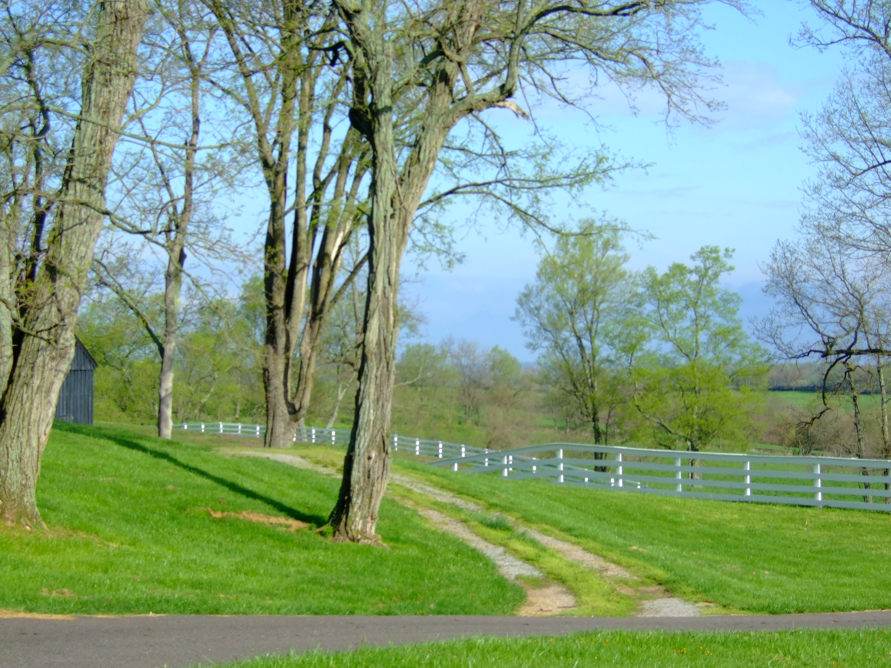
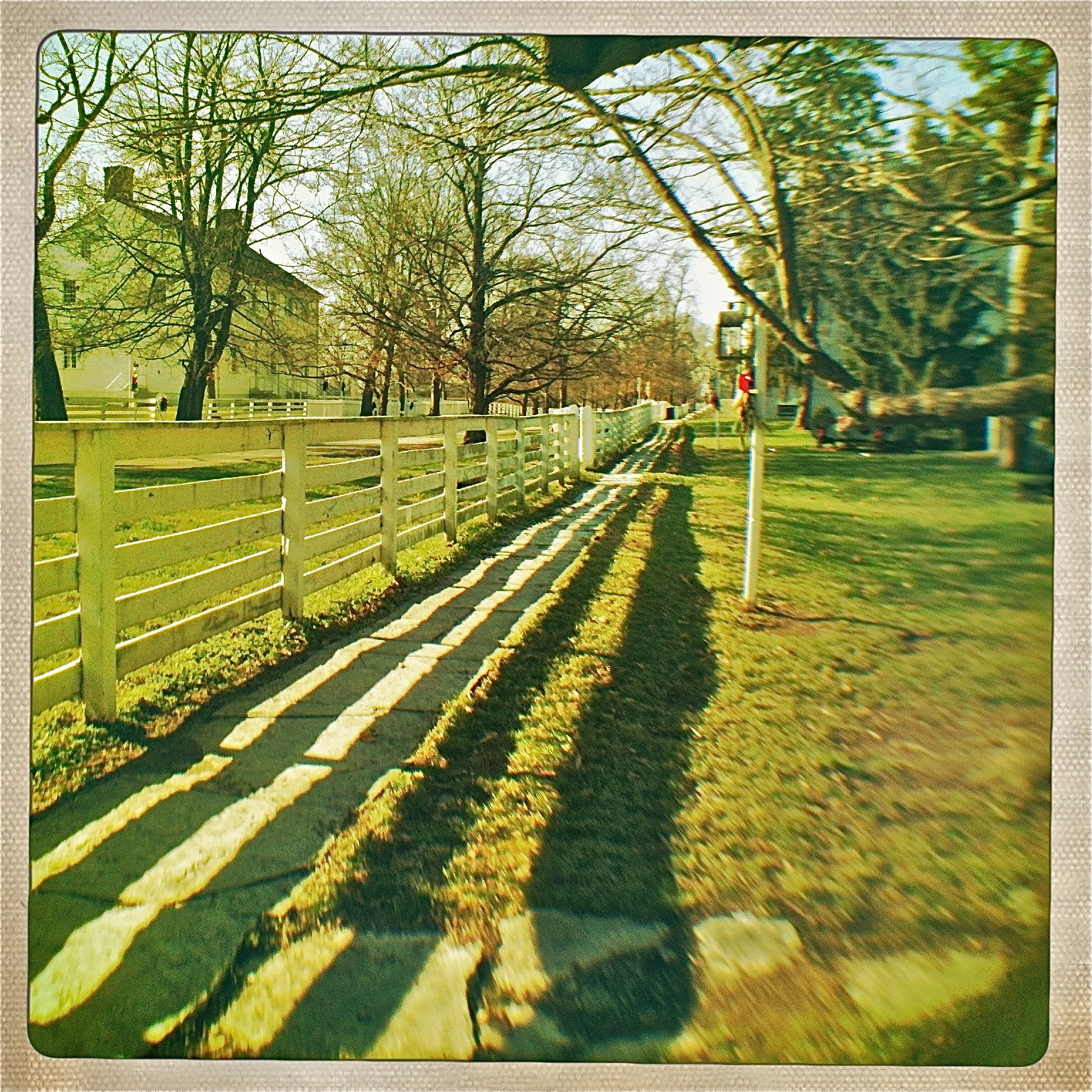
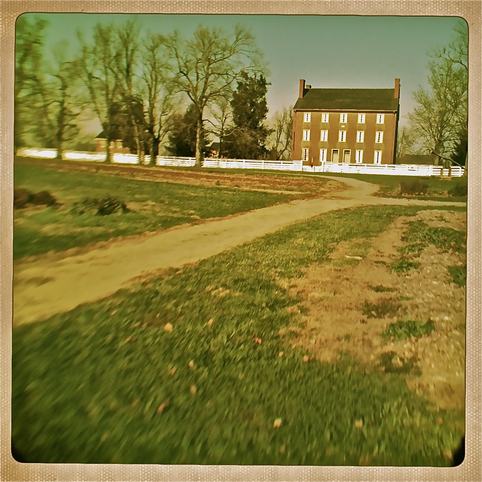
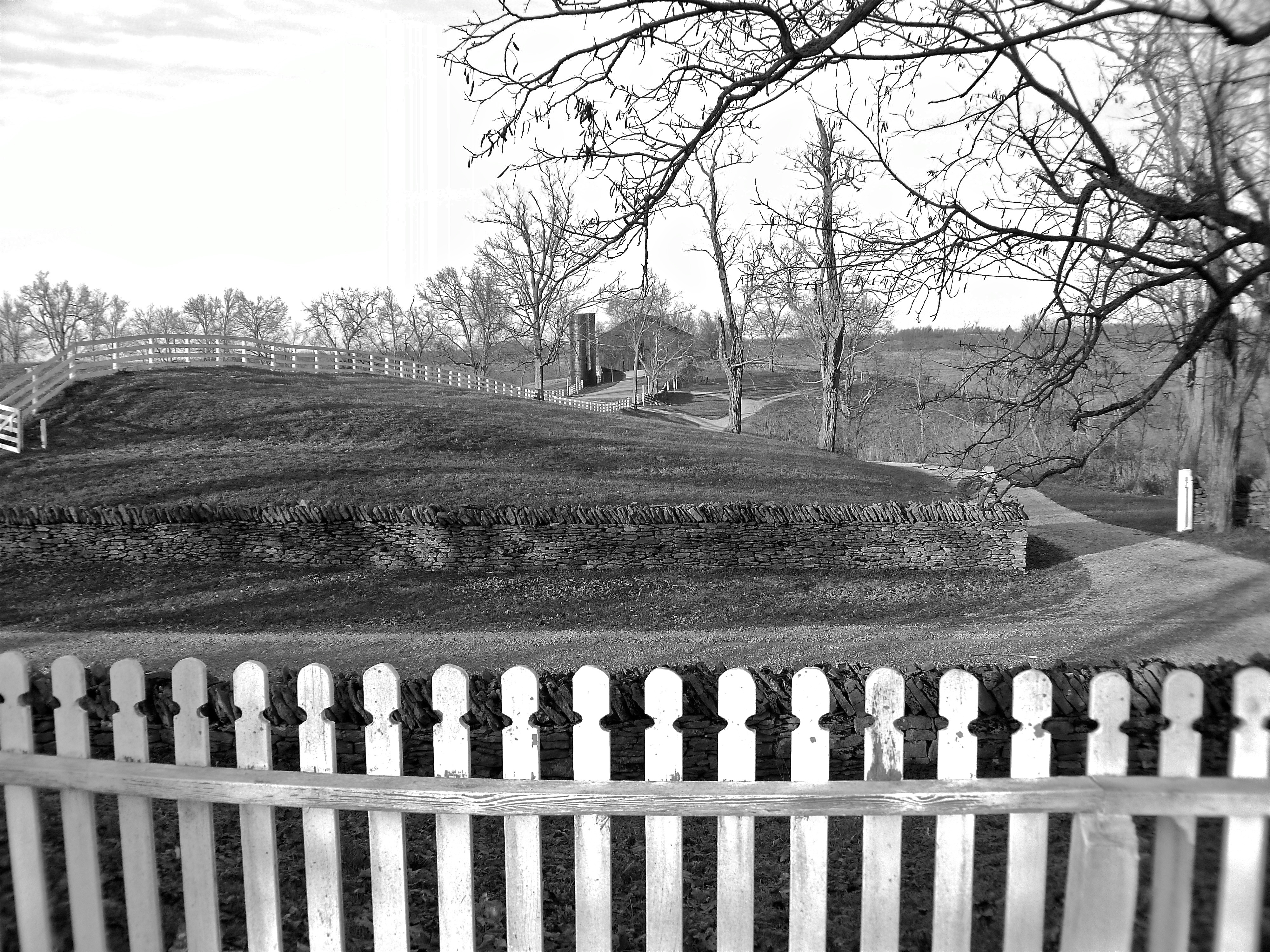
Shaker Village view

View from the fourth floor... #EastFamilyDwelling #Bike Trek to Shakertown

View of East Family Brethren's Shop & East Family Dwelling
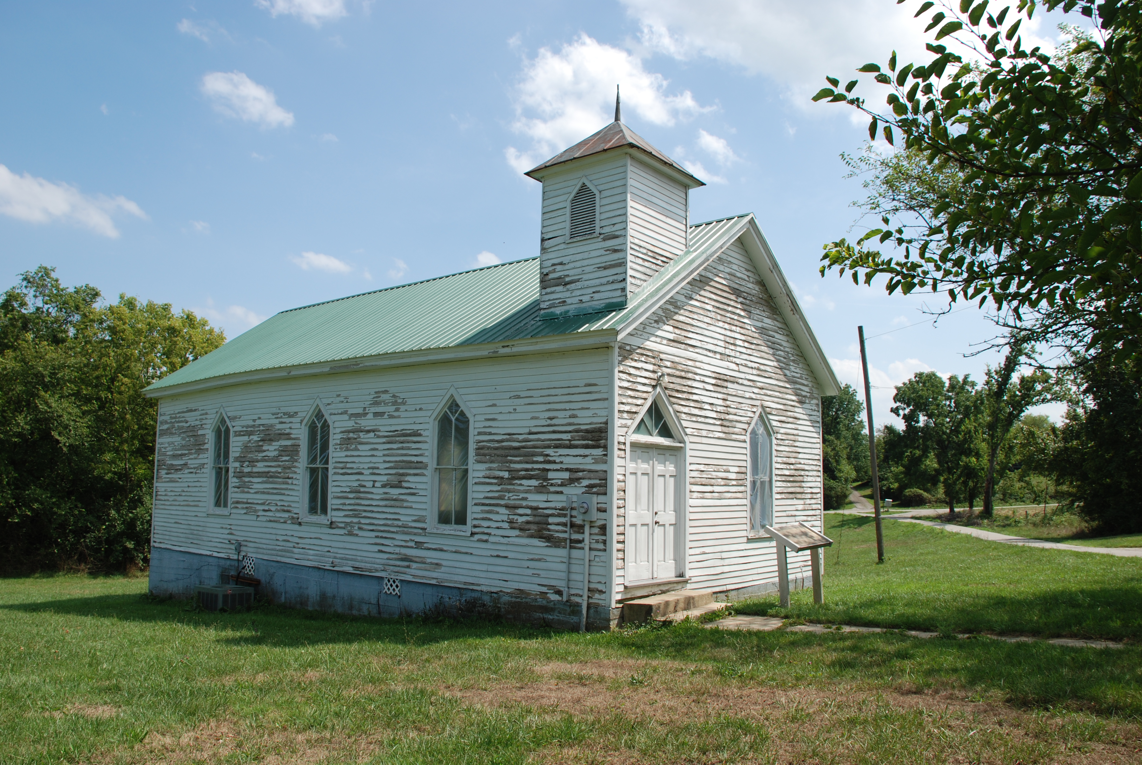
Olde Hall Church
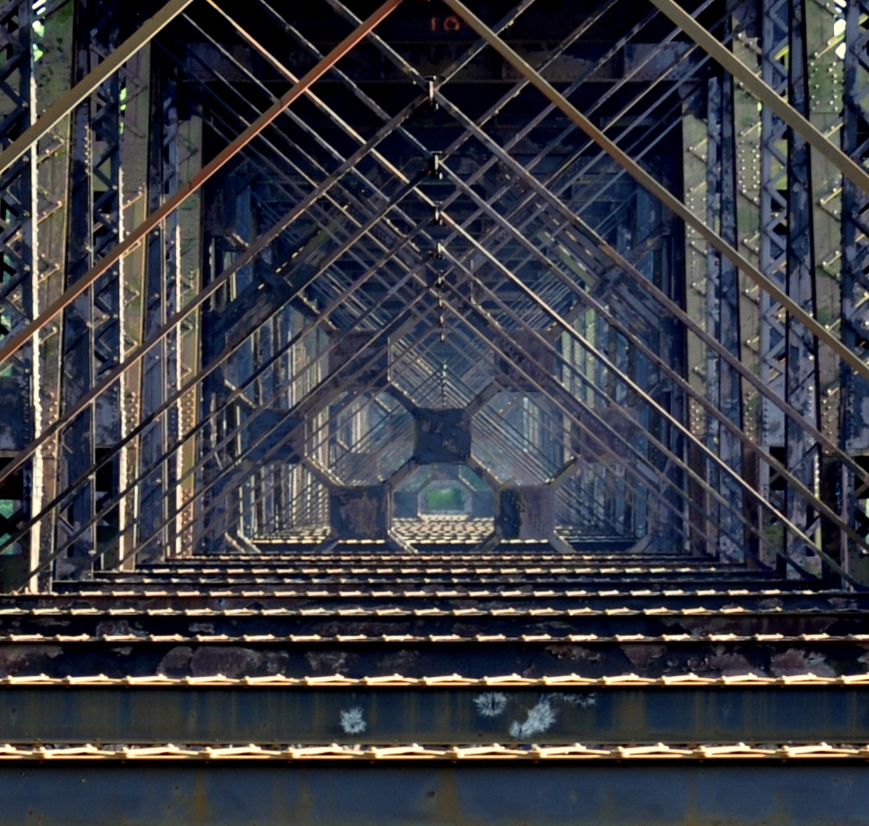
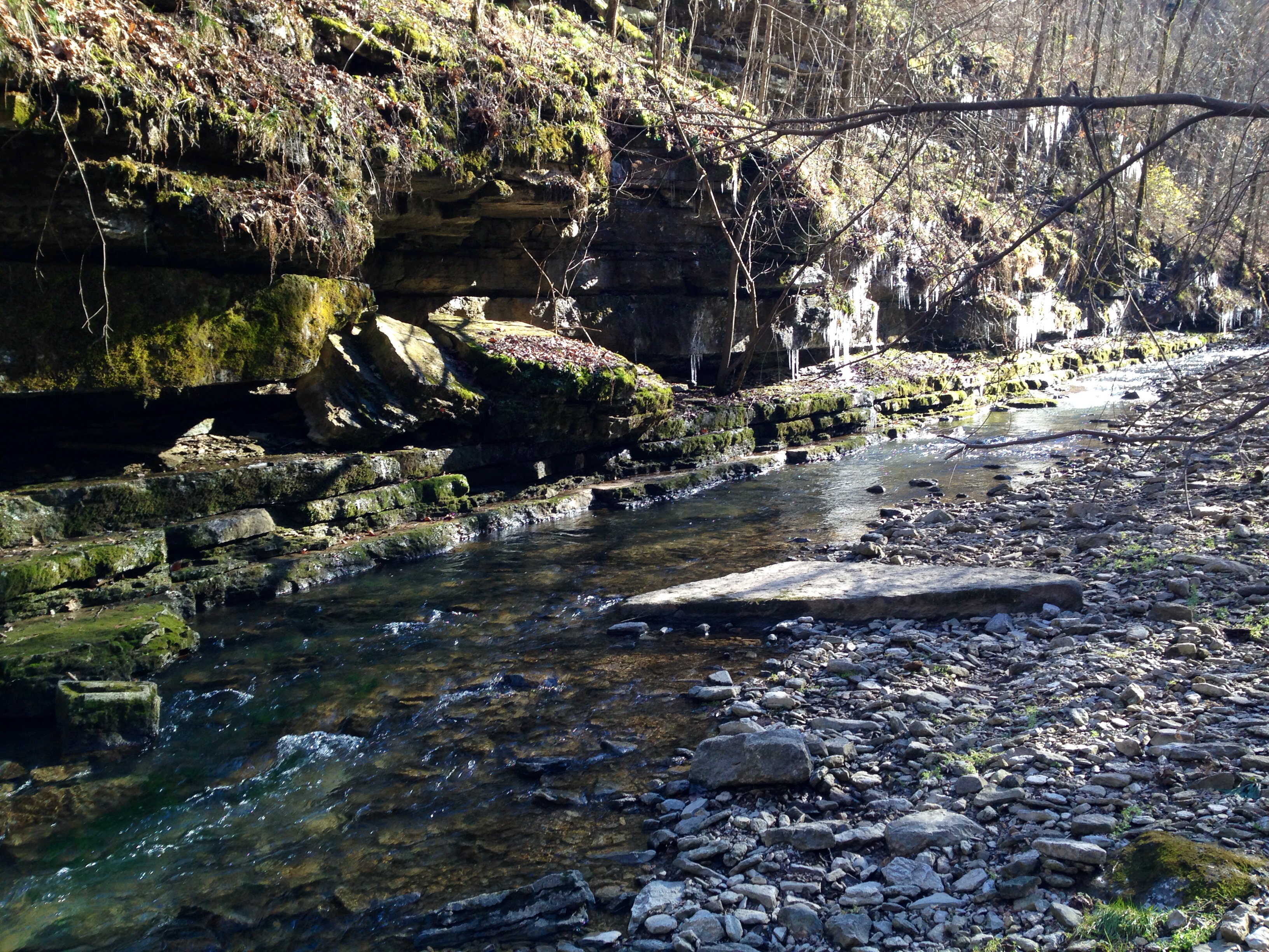
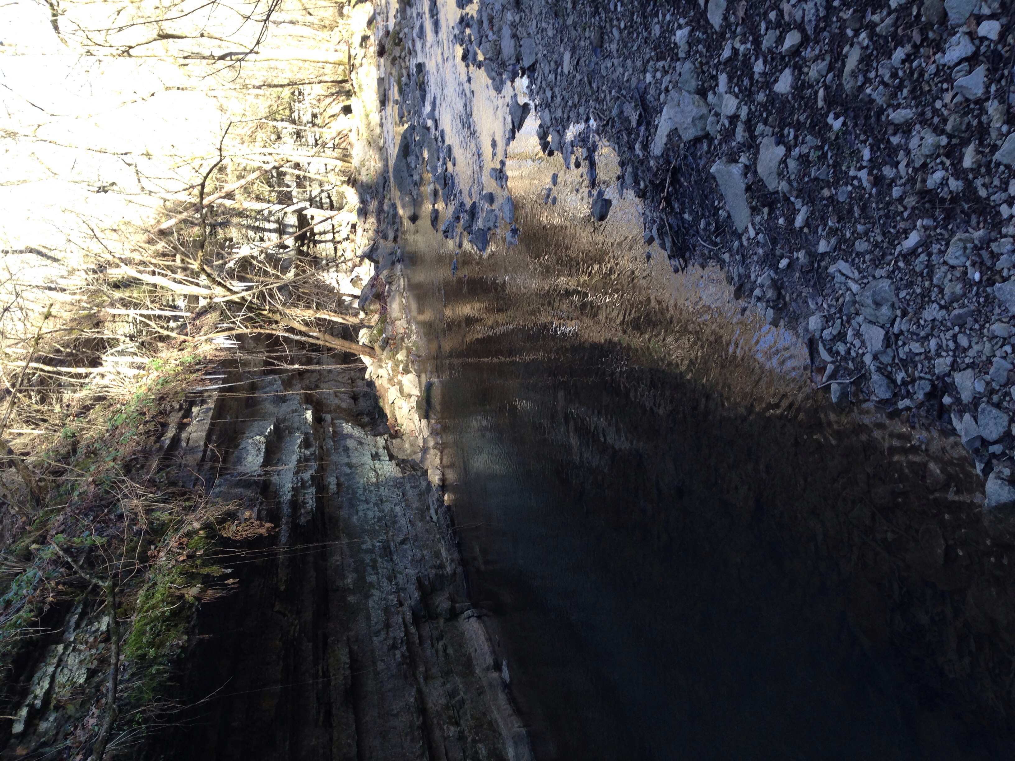
high bridge
Danville, Kentucky

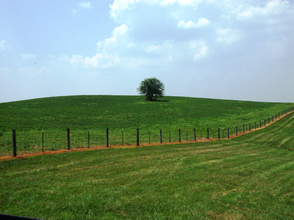
Farmhouse - Clouds

Shaker Village - Pleasant Hill, Kentucky
View from the East Family Dwelling

View of the East Family Dwelling
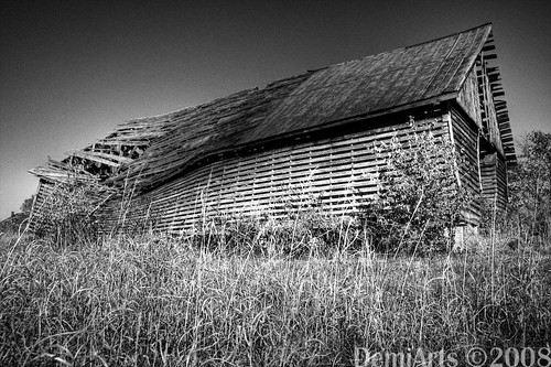
Broken Barn
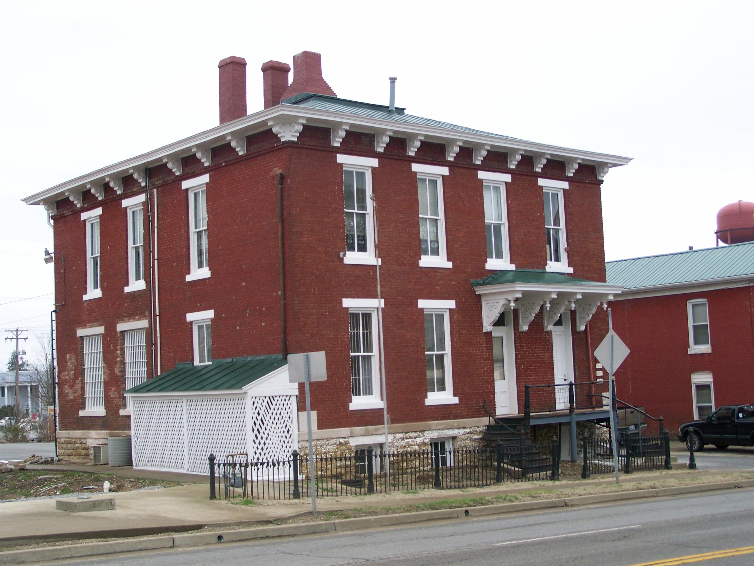
Garrard County Jail- Lancaster KY (1)
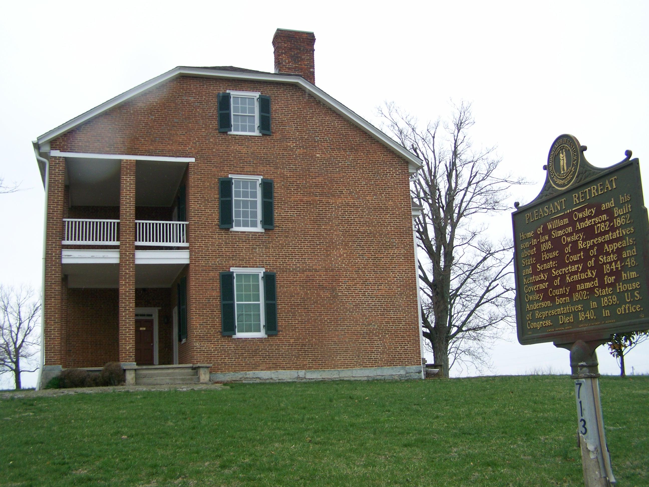
Governor William Owsley House- Lancaster KY (2)
View of East Family Dwelling from the Barn
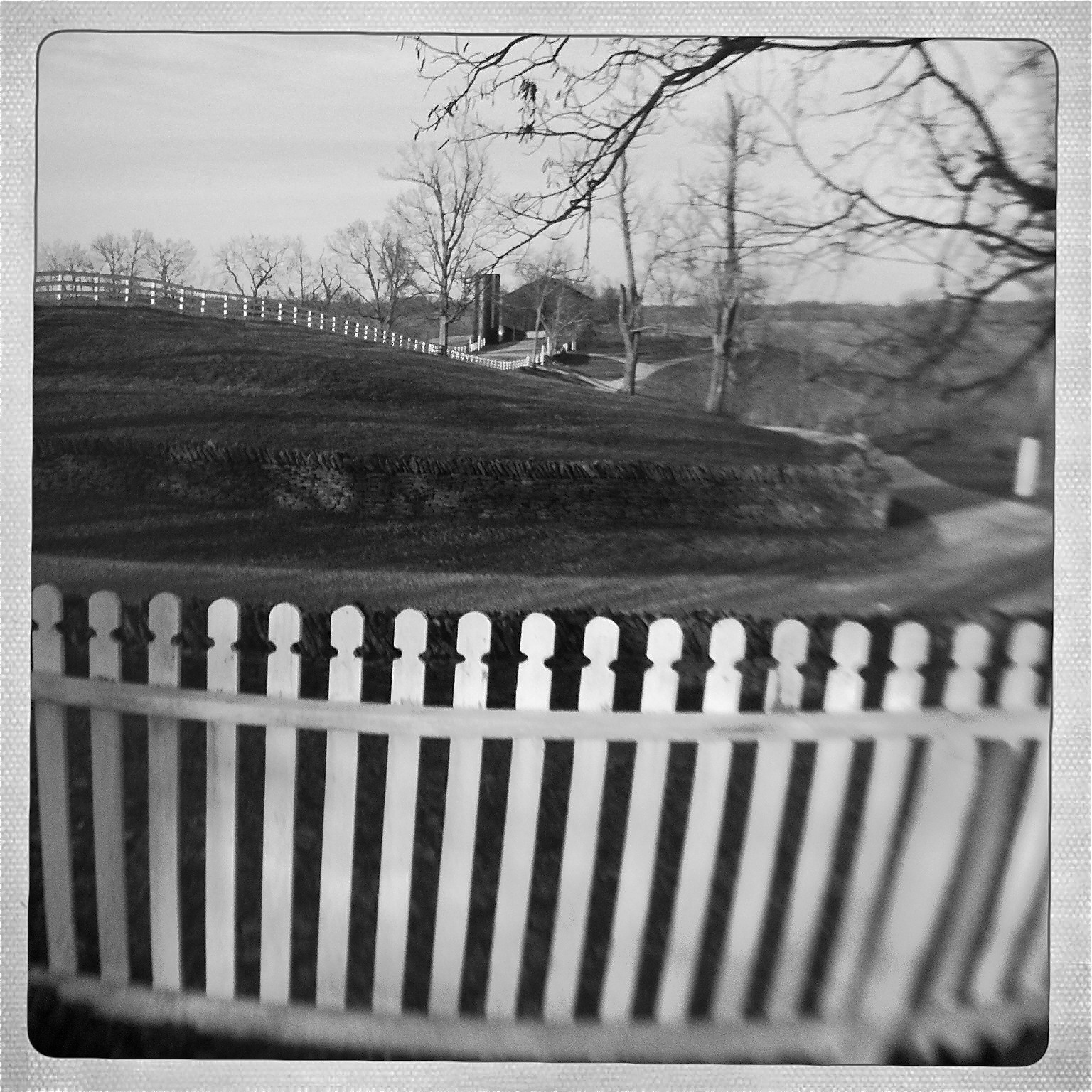
View from Shaker Graveyard
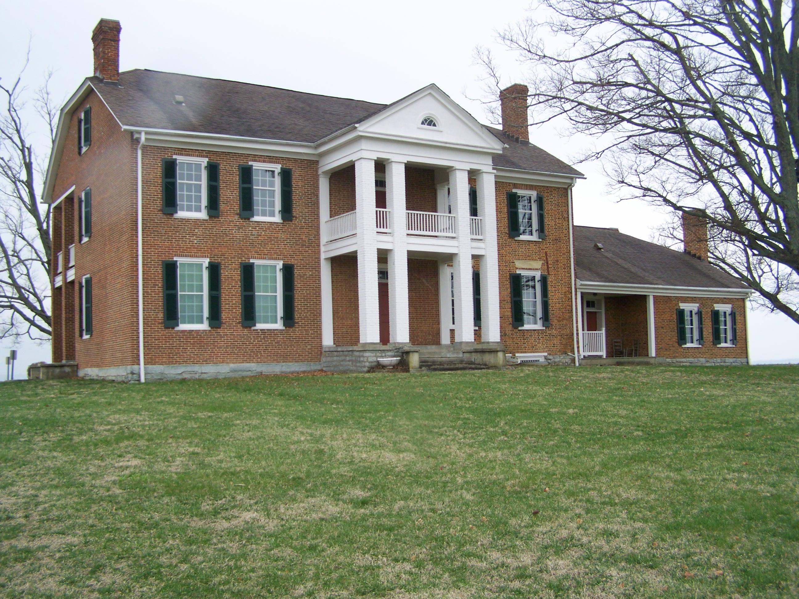
Governor William Owsley House- Lancaster KY (1)

Barn Views
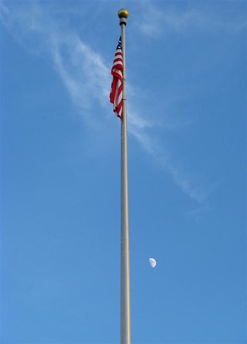
Flag Pole
View from Shaker Graveyard

View From Shaker Graveyard

Window View

Bare Tree

Big Sur, CA

Little Hickman 4
Shaker Village
Corn Crib

Trees-Sky-Clouds
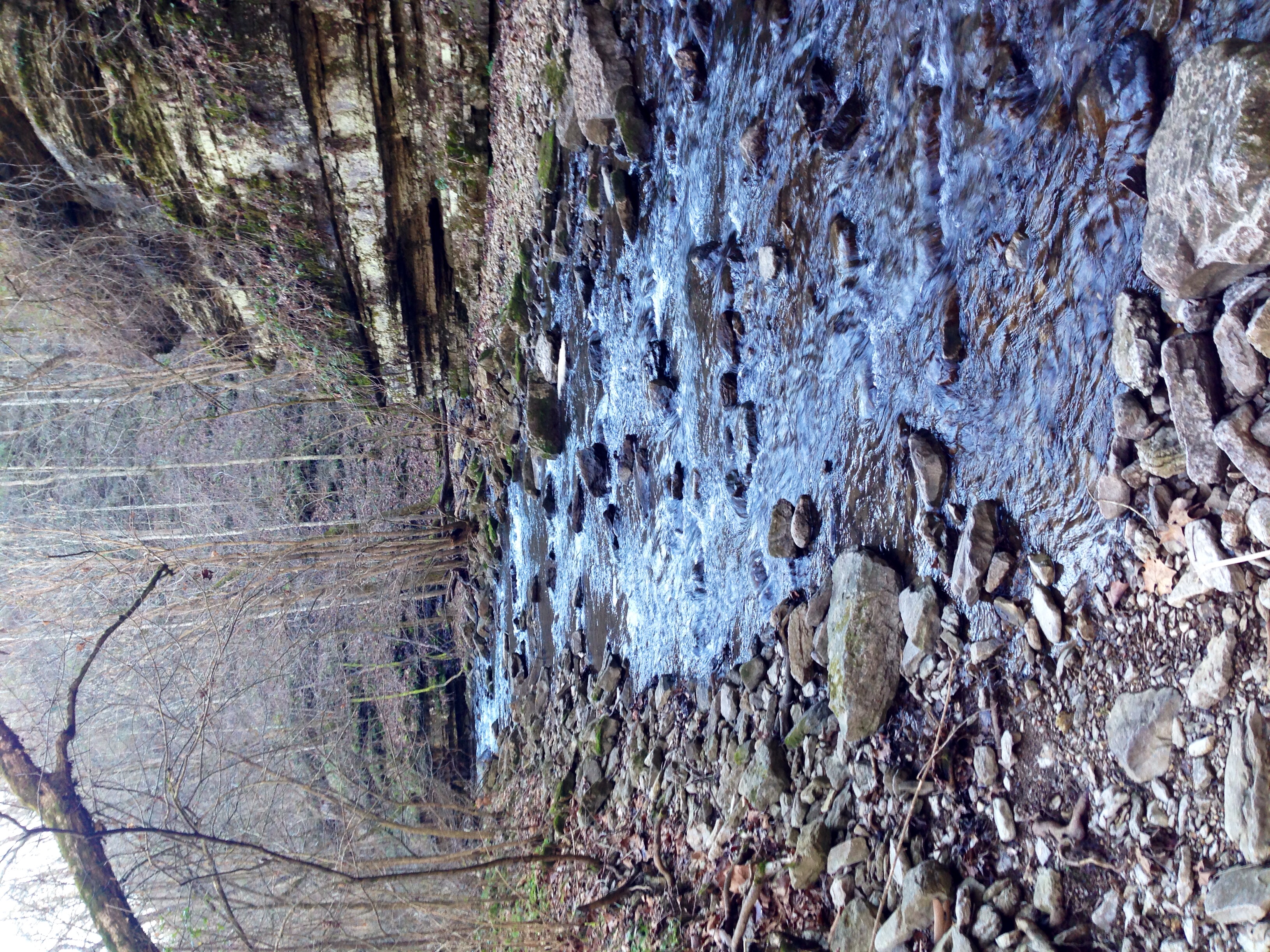
High Bridge
Shaker Village

KY NorthFace 038
Hilltop Tree
Shaker Village
Shaker Village
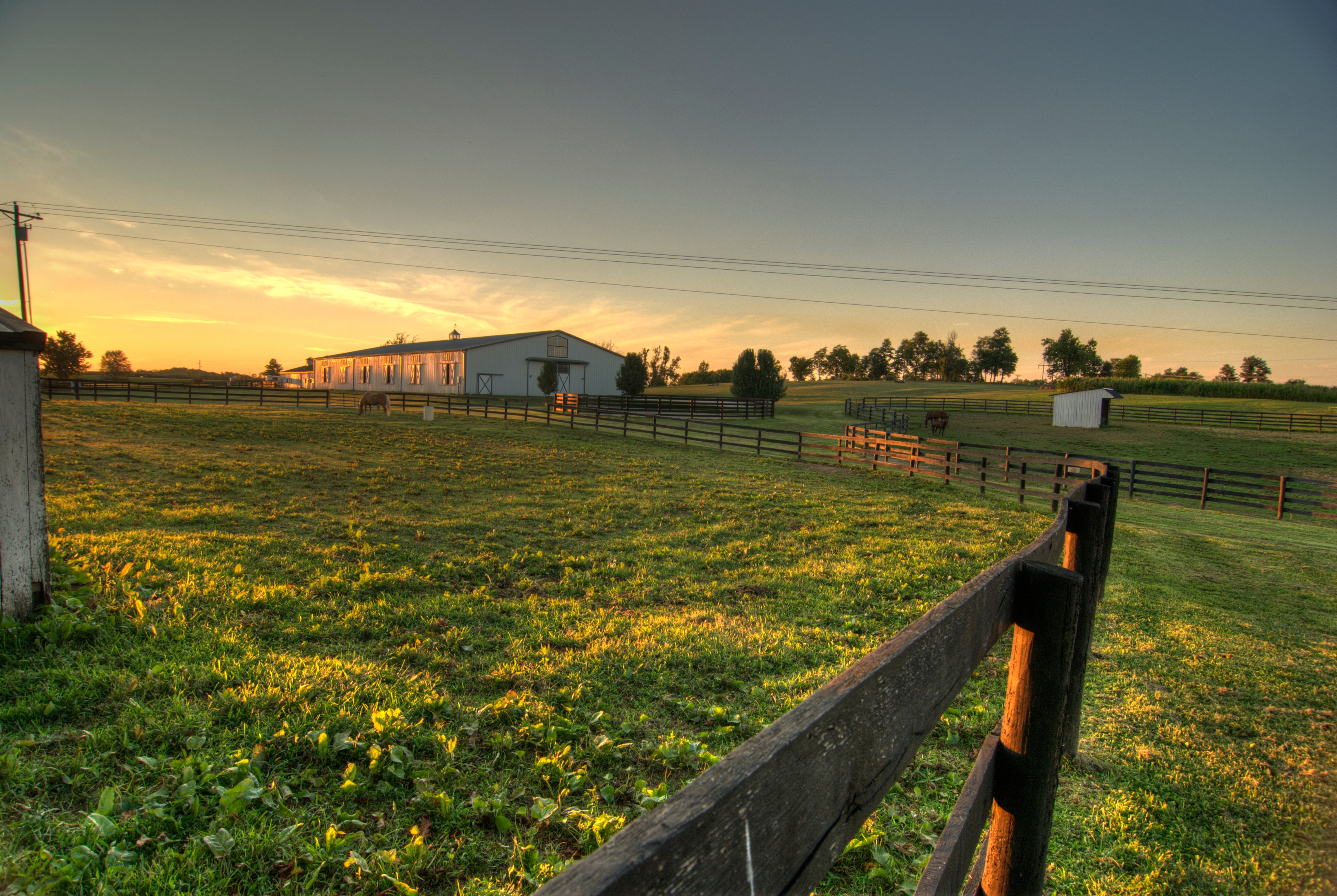
Horse Corrals at Sunset

Camp Nelson Cemetary

The Farm, LLC - Danvile Kentucky

kentuky hills
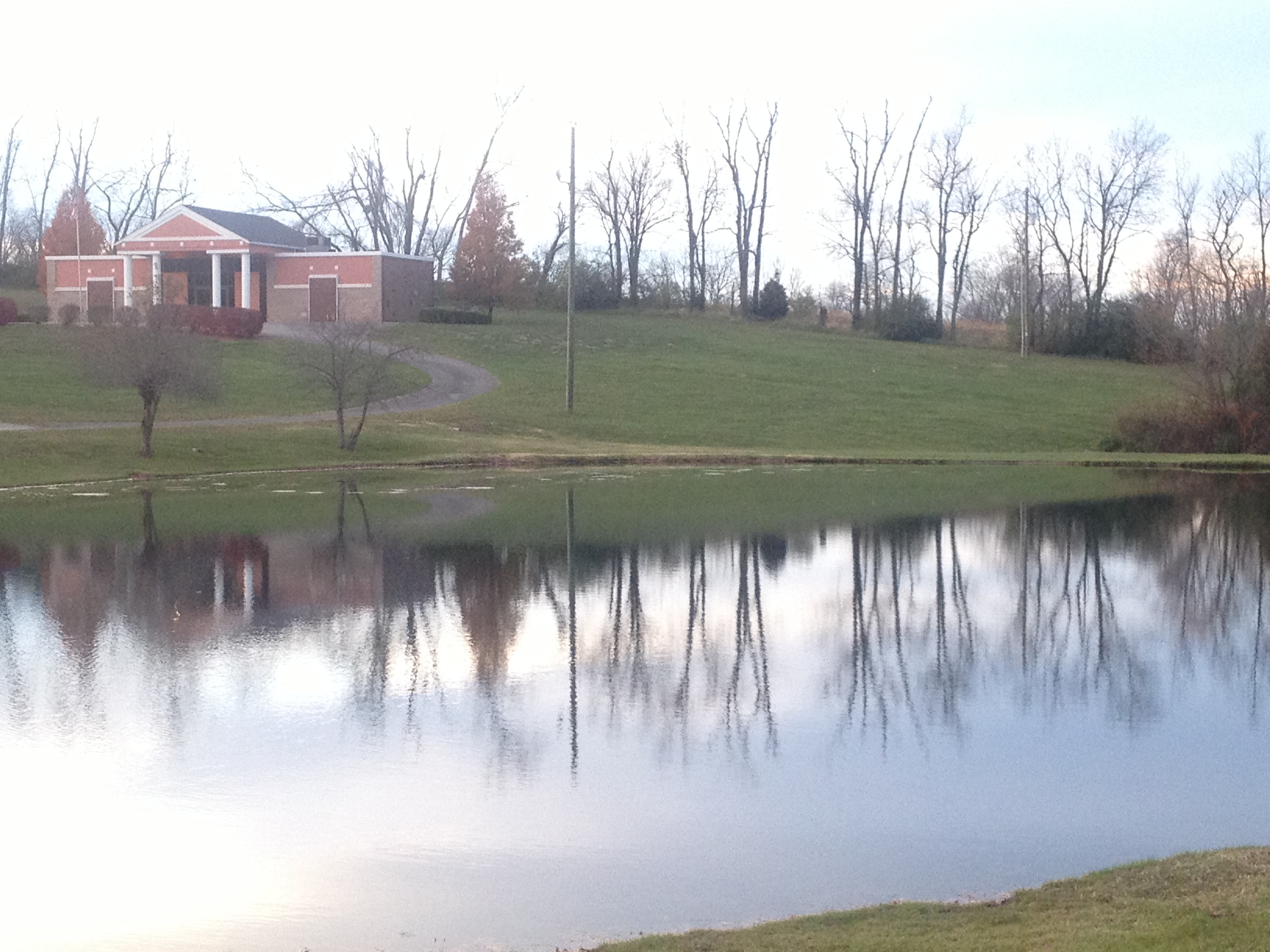
Danville Memorial Gardens

The Farm, LLC - Danvile Kentucky

The Farm, LLC - Danvile Kentucky
Topographic Map of Chenault Bridge Rd, Lancaster, KY, USA
Find elevation by address:

Places near Chenault Bridge Rd, Lancaster, KY, USA:
Lexington Rd, Lancaster, KY, USA
Lakeview Point Rd, Harrodsburg, KY, USA
43 Little Needmore Rd, Danville, KY, USA
Mt Hebron Rd, Lancaster, KY, USA
34 Stephen Way
Hubble Rd, Stanford, KY, USA
E Main St, Danville, KY, USA
413 Locust St
559 Springhill Rd
Danville
S 3rd St, Danville, KY, USA
Main St, Harrodsburg, KY, USA
127 Maplewood Dr
Alton Rd, Danville, KY, USA
225 Waveland Ave
Burgin
Hill Court
Lancaster
Nichols St, Danville, KY, USA
Garrard County
Recent Searches:
- Elevation of Kambingan Sa Pansol Atbp., Purok 7 Pansol, Candaba, Pampanga, Philippines
- Elevation of Pinewood Dr, New Bern, NC, USA
- Elevation of Mountain View, CA, USA
- Elevation of Foligno, Province of Perugia, Italy
- Elevation of Blauwestad, Netherlands
- Elevation of Bella Terra Blvd, Estero, FL, USA
- Elevation of Estates Loop, Priest River, ID, USA
- Elevation of Woodland Oak Pl, Thousand Oaks, CA, USA
- Elevation of Brownsdale Rd, Renfrew, PA, USA
- Elevation of Corcoran Ln, Suffolk, VA, USA