Elevation of Chemin Panmure Island, Montague, PE C0A 1R0, Canada
Location: Canada > Prince Edward Island > Kings County > Lot 61 >
Longitude: -62.482452
Latitude: 46.141052
Elevation: 15m / 49feet
Barometric Pressure: 101KPa
Elevation Map:
Satellite Map:
Related Photos:
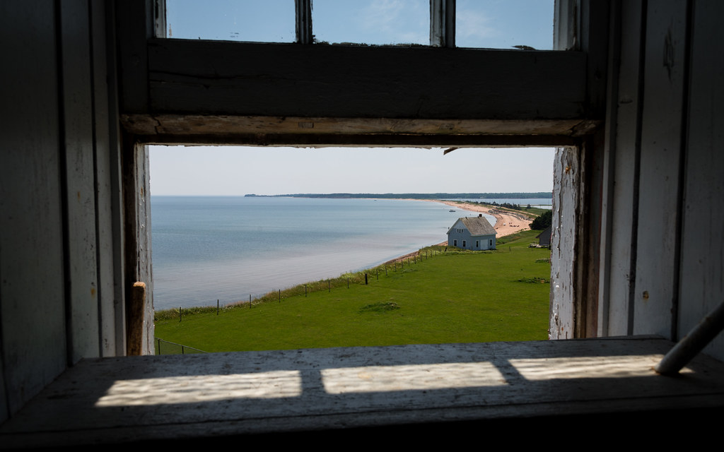
Window on PEI
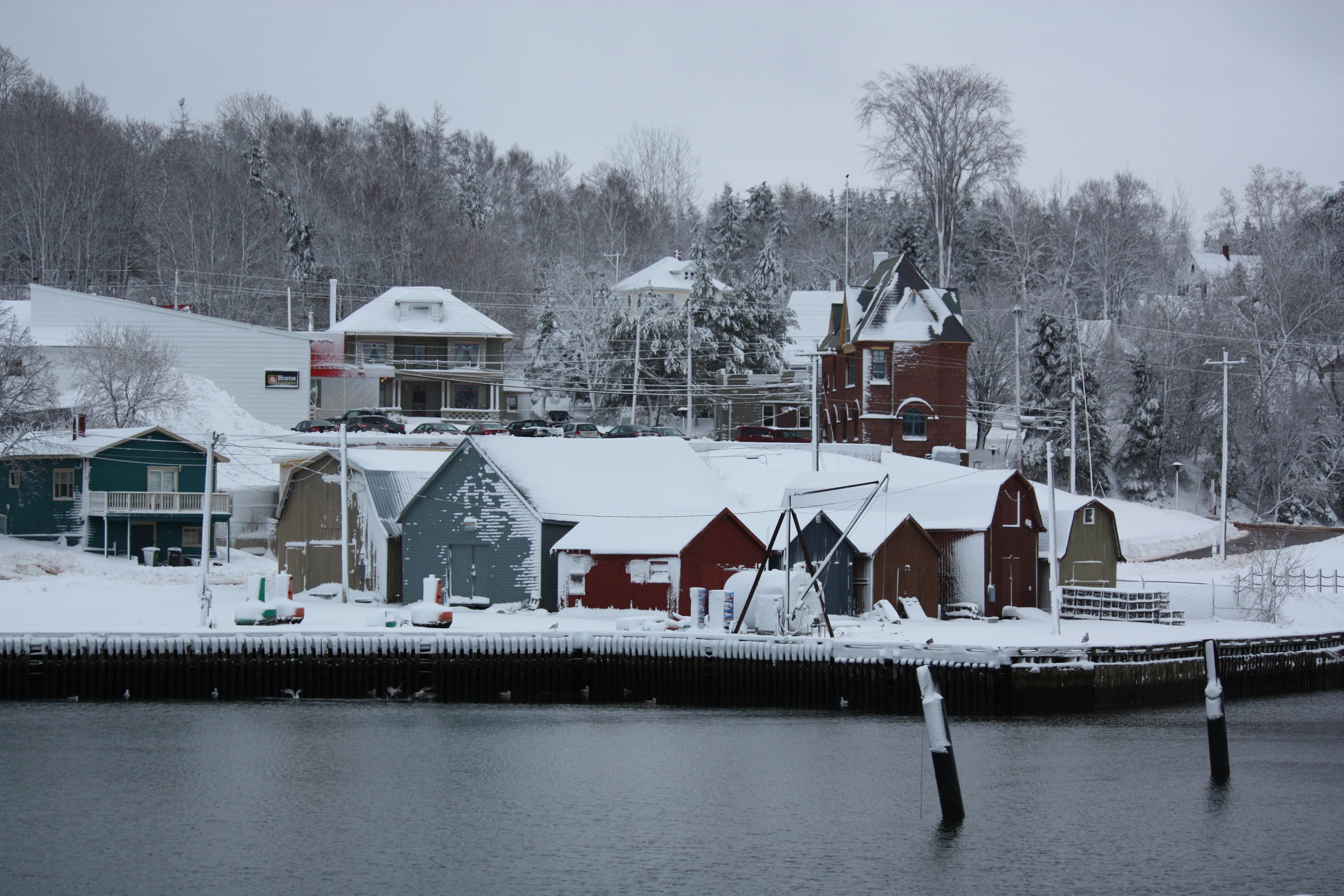
Montague, PEI
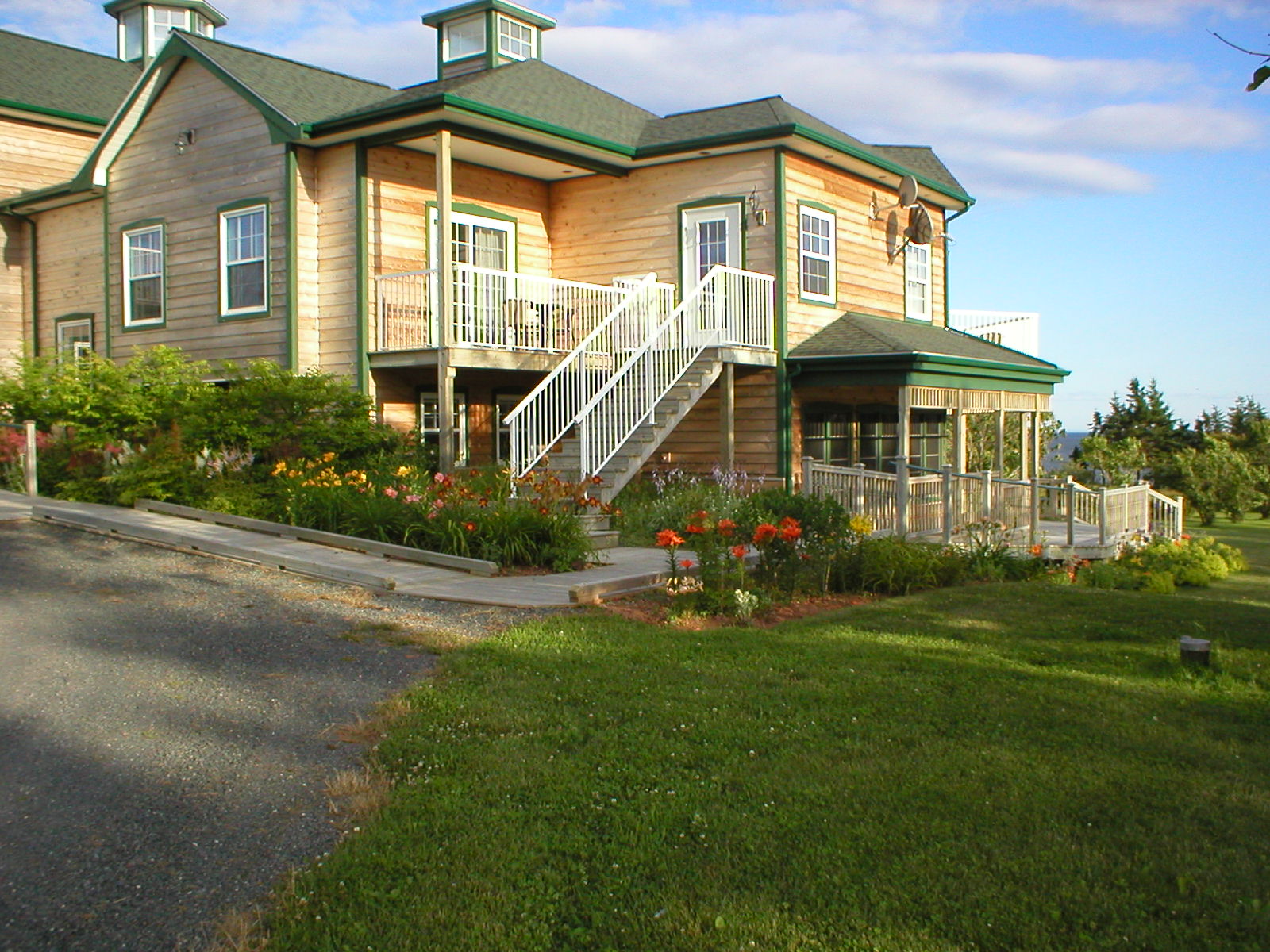
West wing flower beds and wrap around walkway
View from the restaurant...clam diggers Georgetown pei

Finger Print
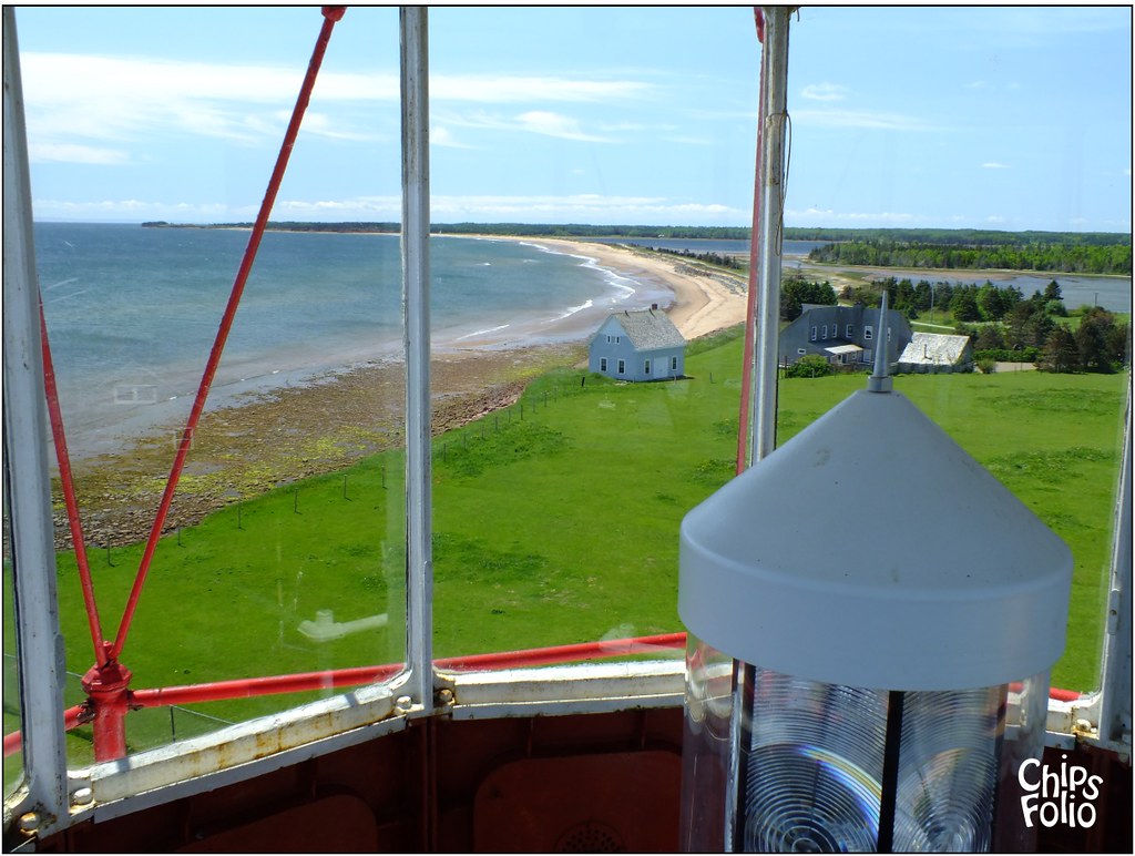
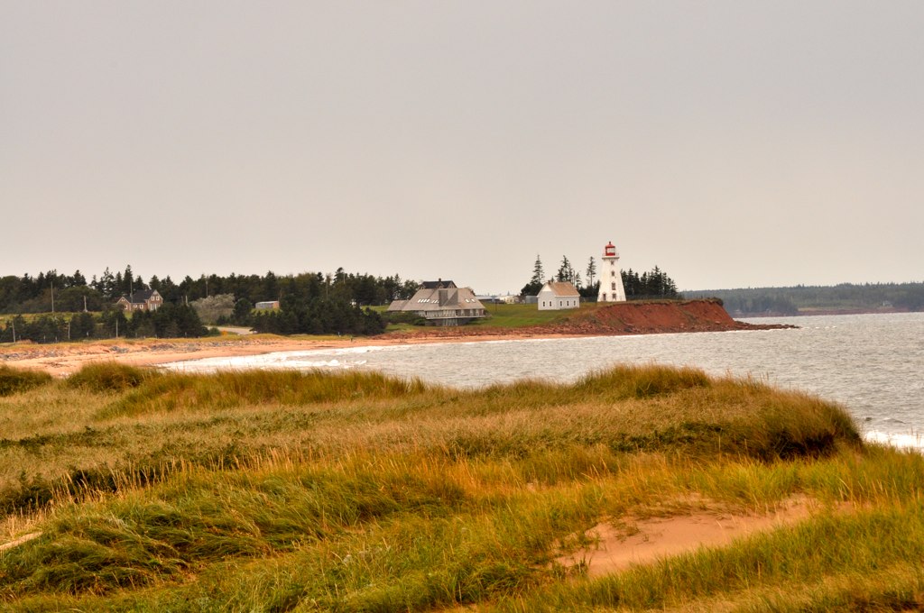
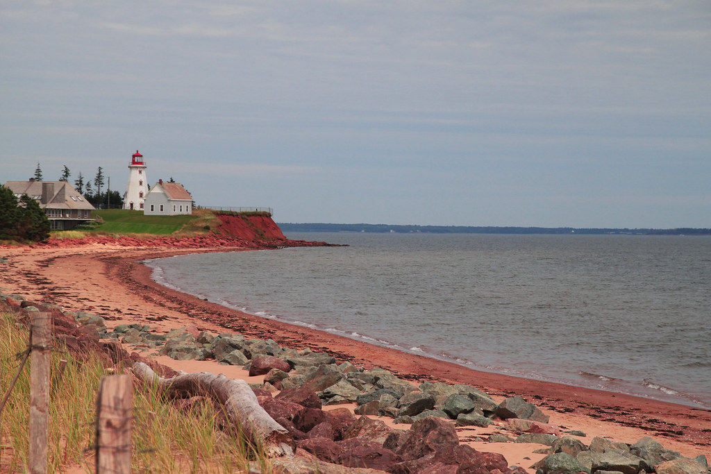
View from Top of Panmure Island Lighthouse
PEI-00372 - Georgetown Back Range Lighthouse
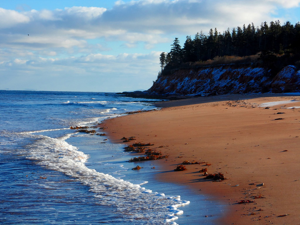
Spry Point, Stillman's and Sally's Beach

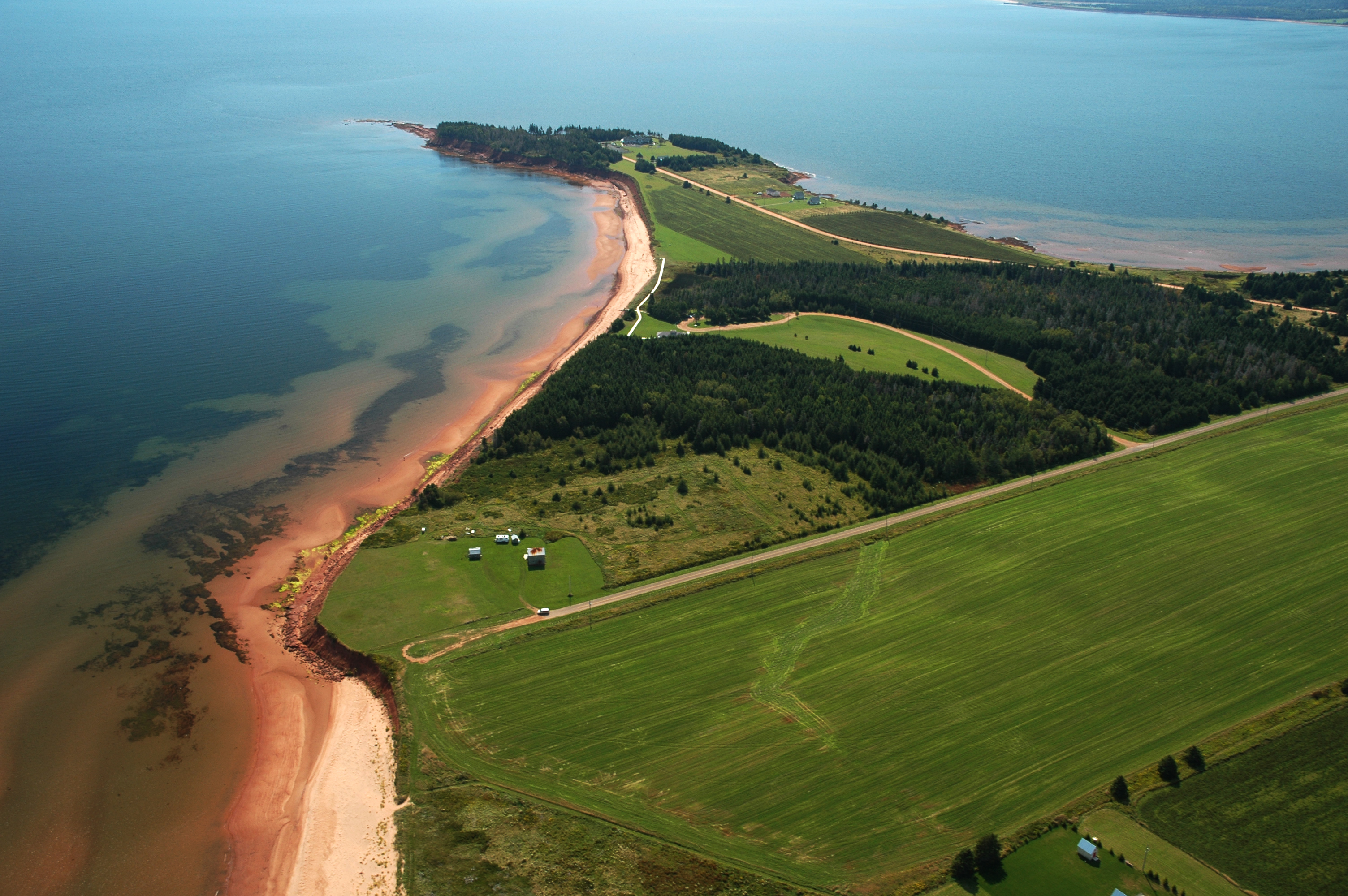
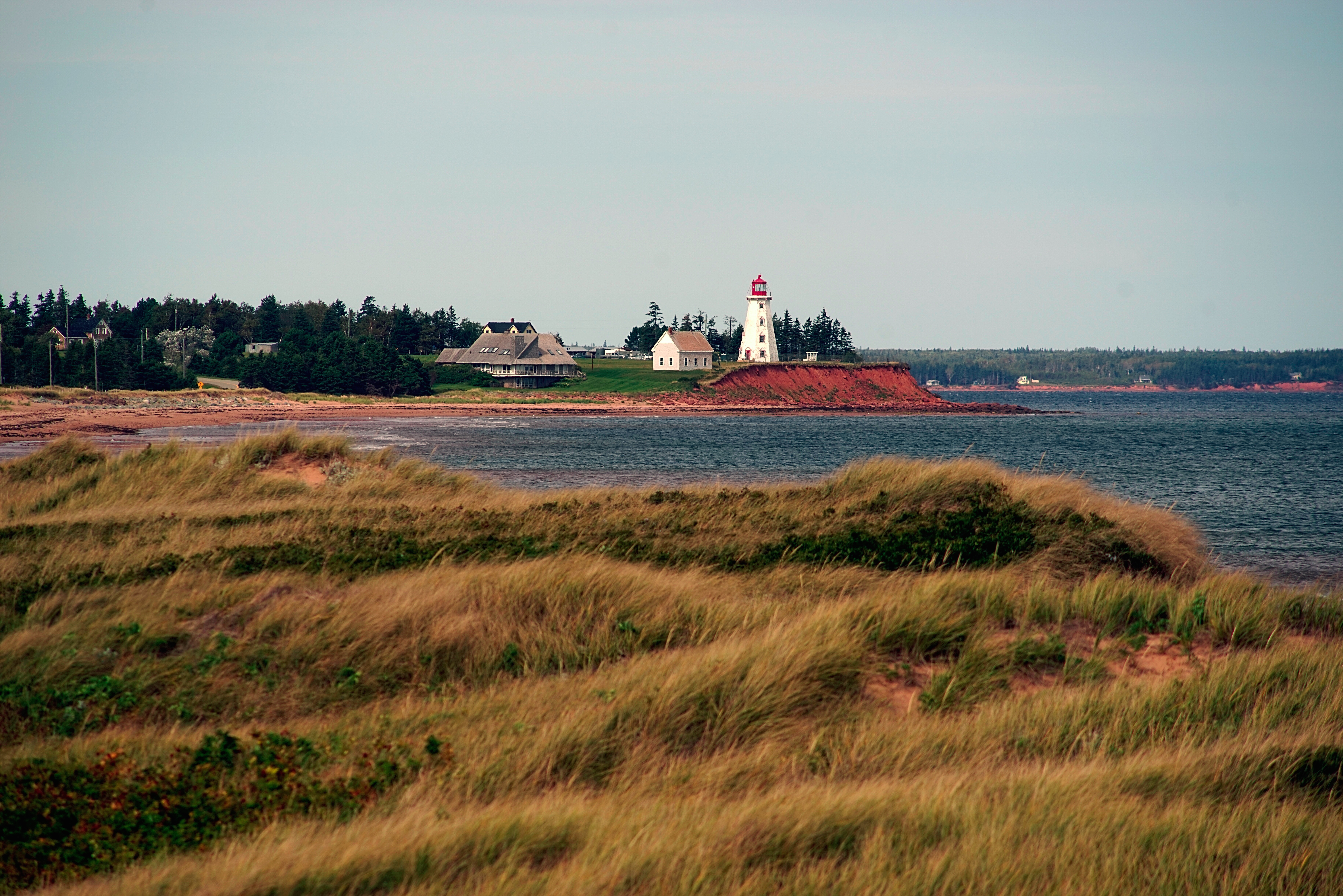
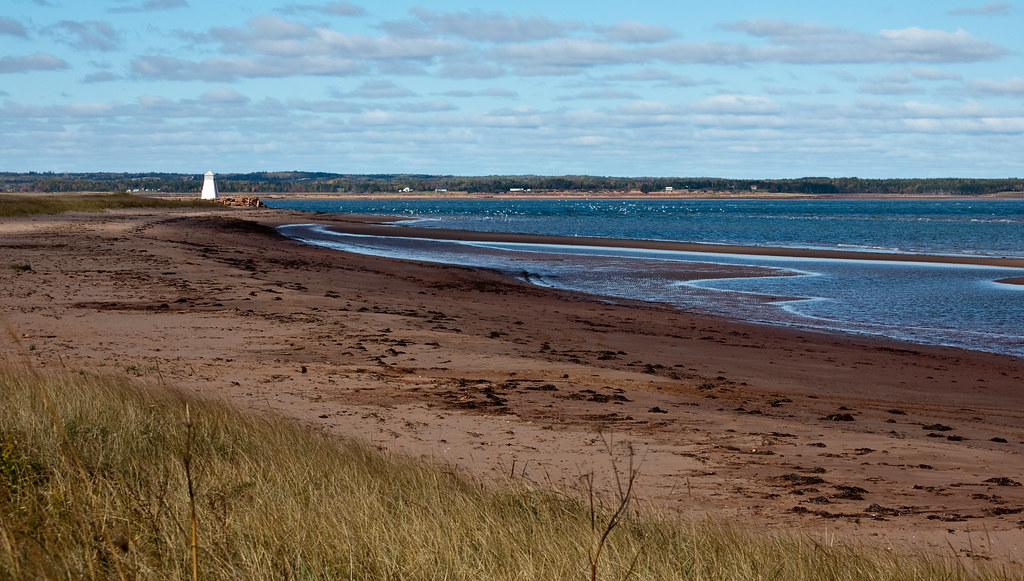
View from Panmure Head Lighthouse, Prince Edward Island (471057)

View from Panmure Head Lighthouse, Prince Edward Island (471060)

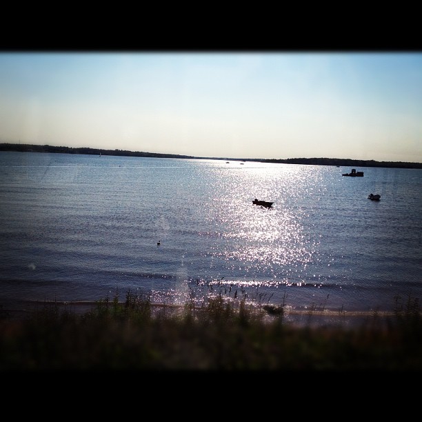
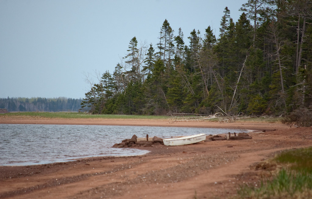
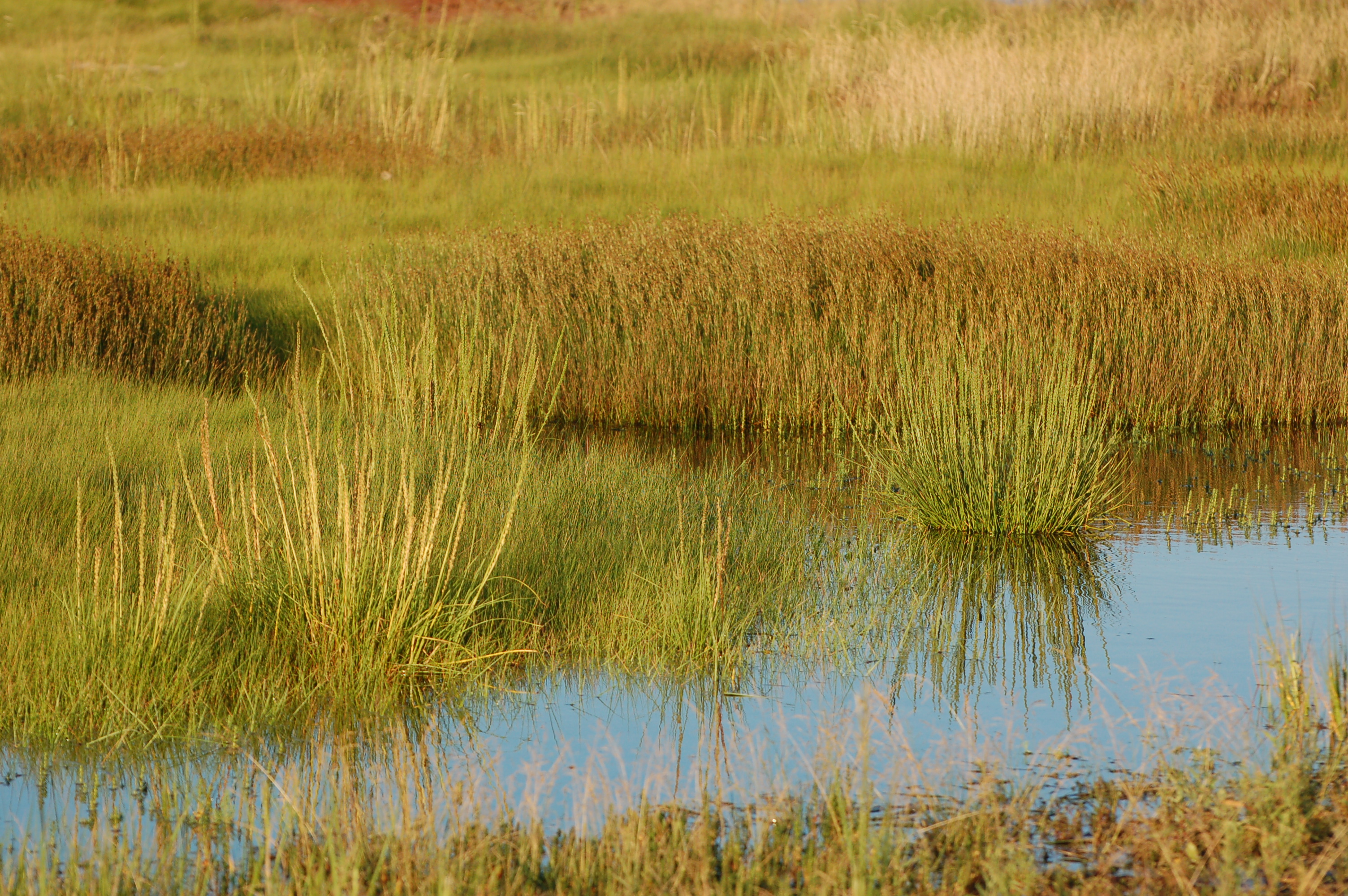
Beach life along the Murray River

Beach life along the Murray River
Spry 13, standard upper level
Beach life along the Murray River
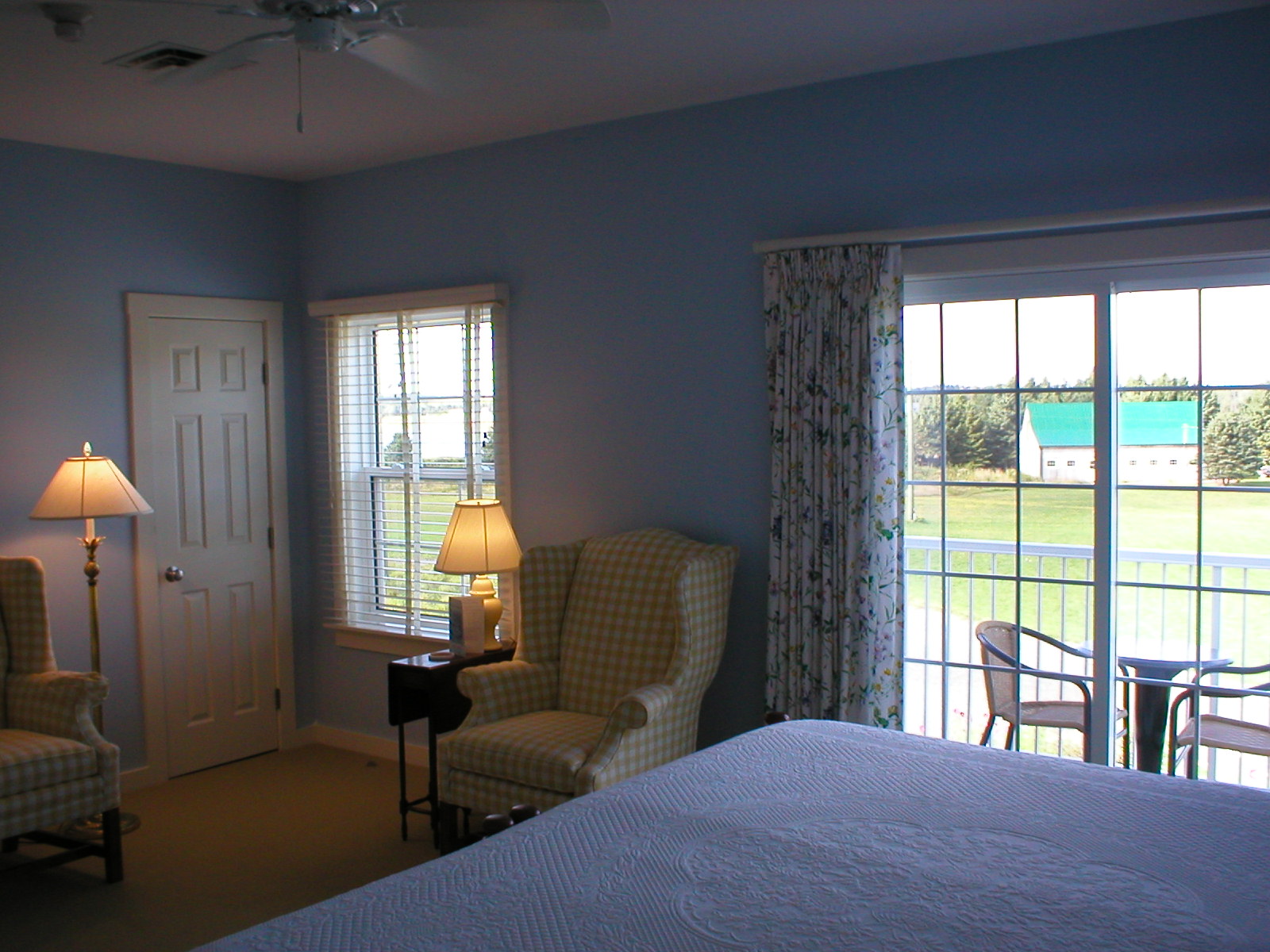
Spry 7, deluxe upper level

Spry 13, standard upper level
Beach life along the Murray River
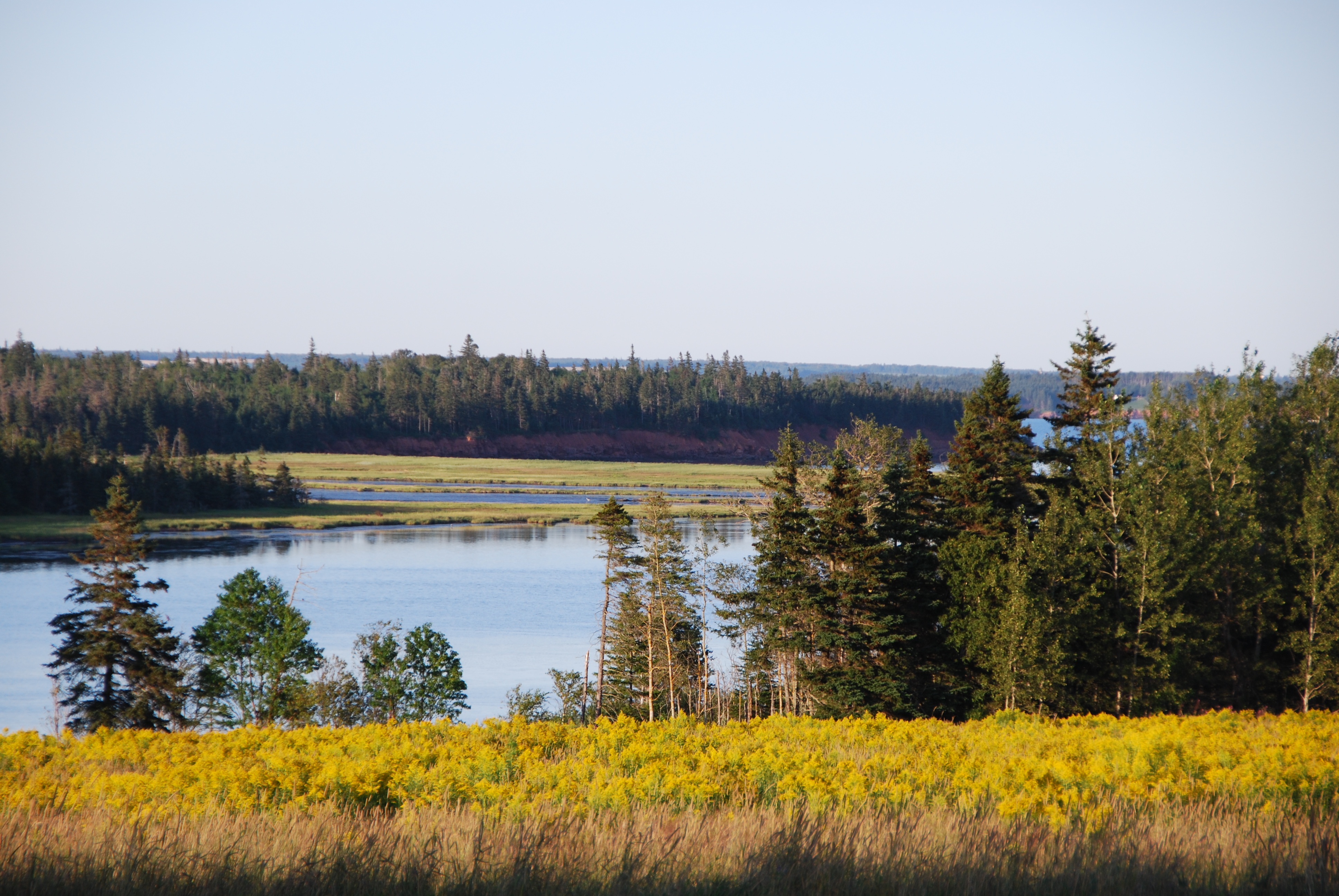
Along the Murray River
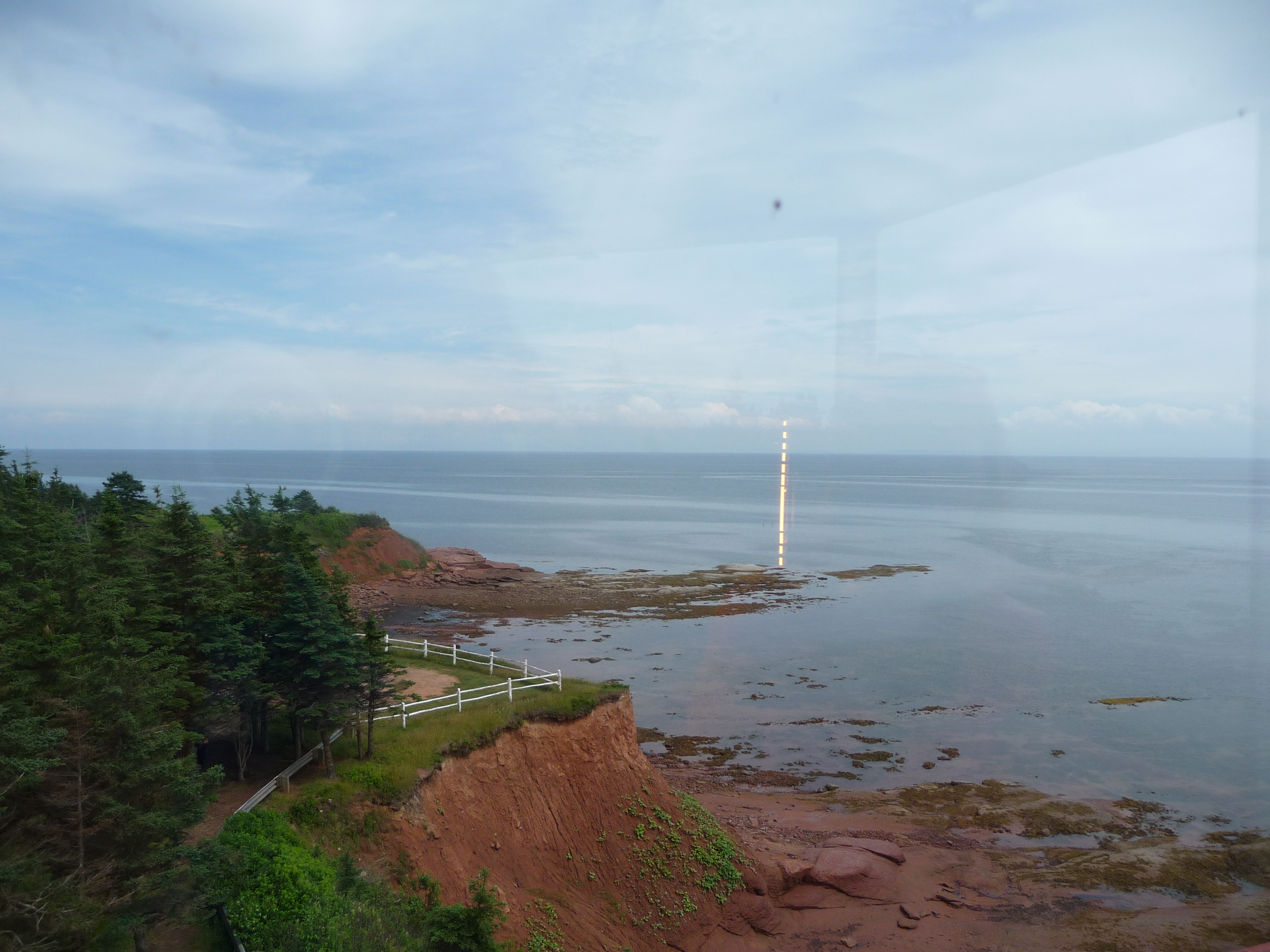
View from lighthouse
Along the Murray River
Along the Murray River
Heron's Landing, Georgetown, PEI
The River
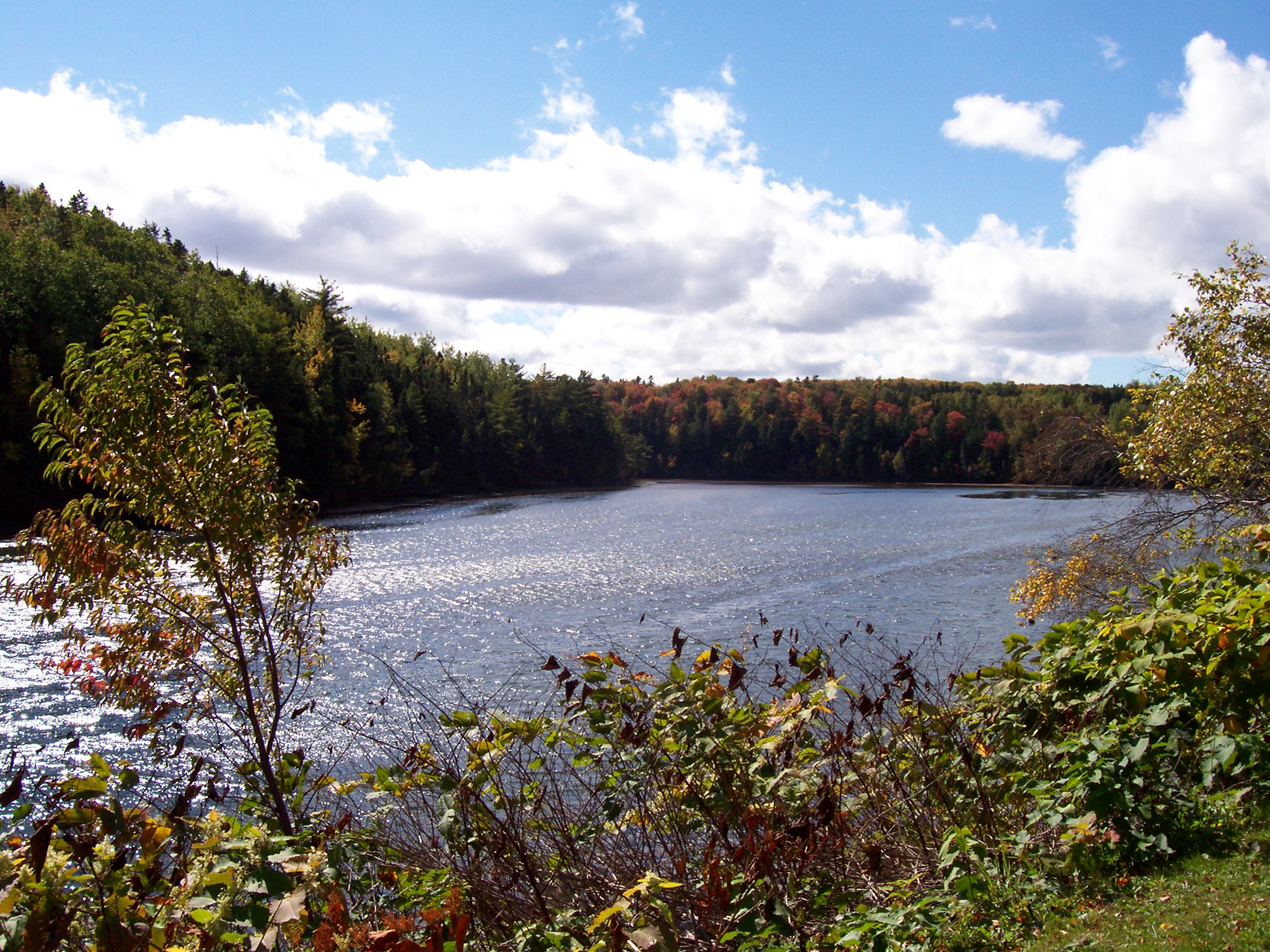
Panmure (4)
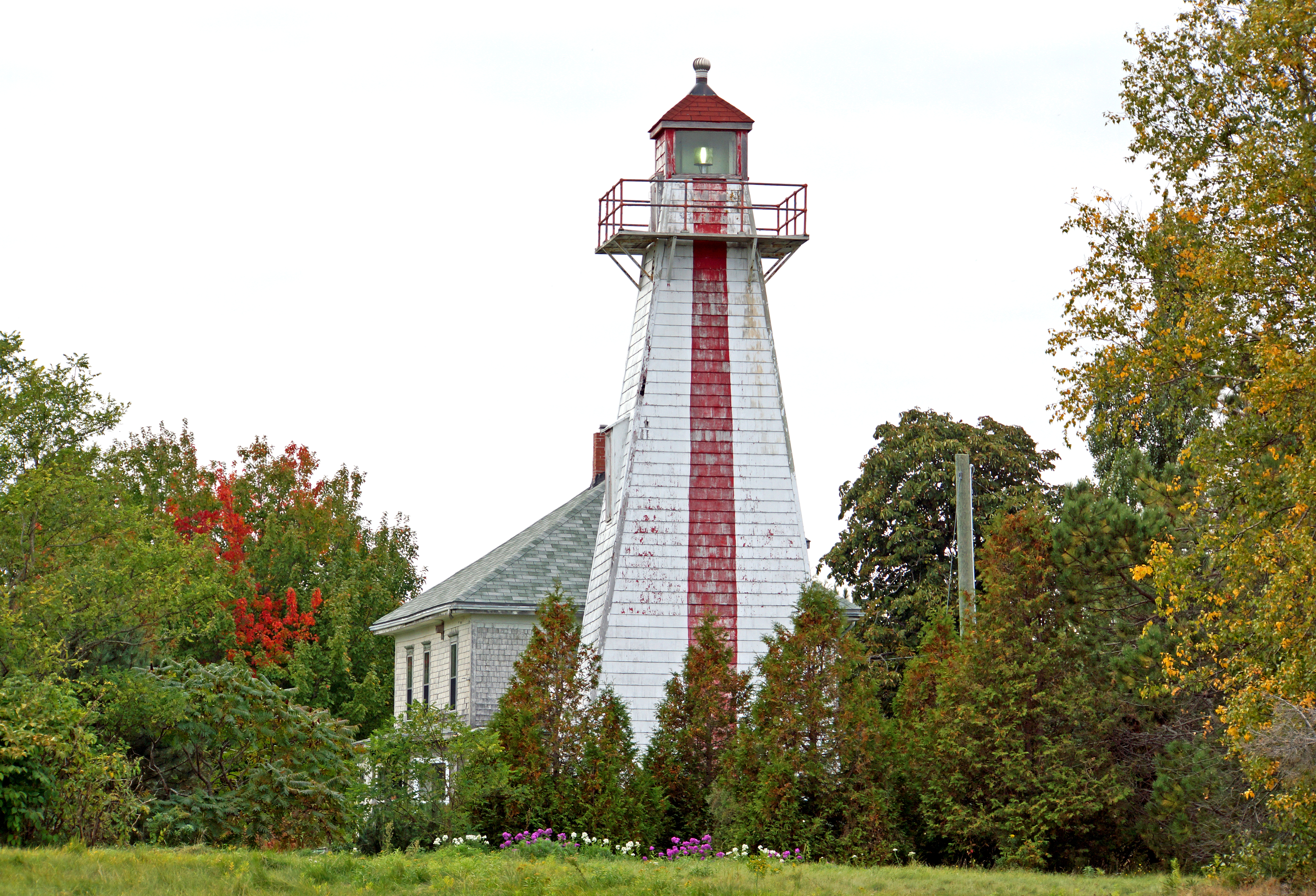
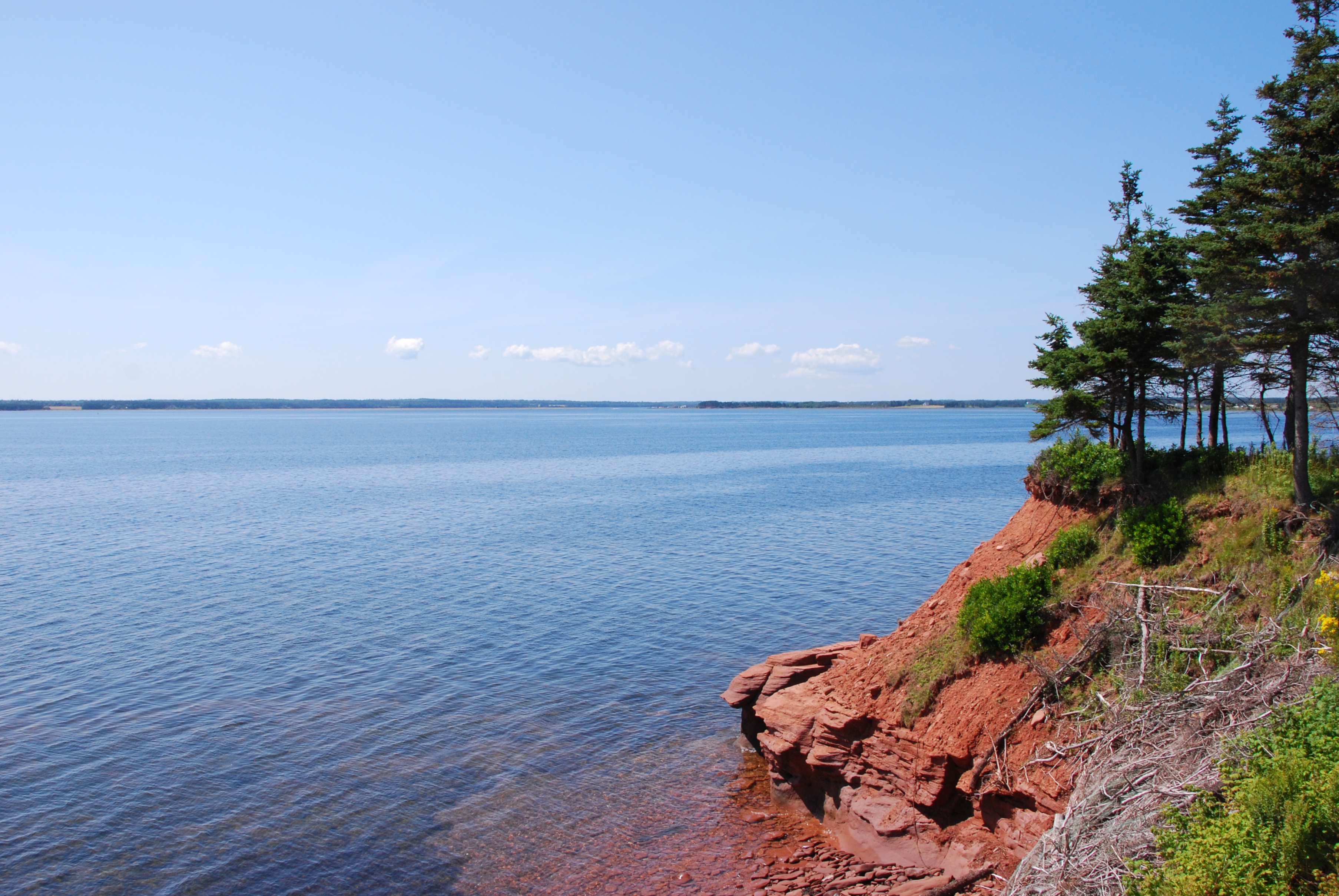
Panmure Head
sourisAug12 36
sourisAug12 48
sourisAug12 2
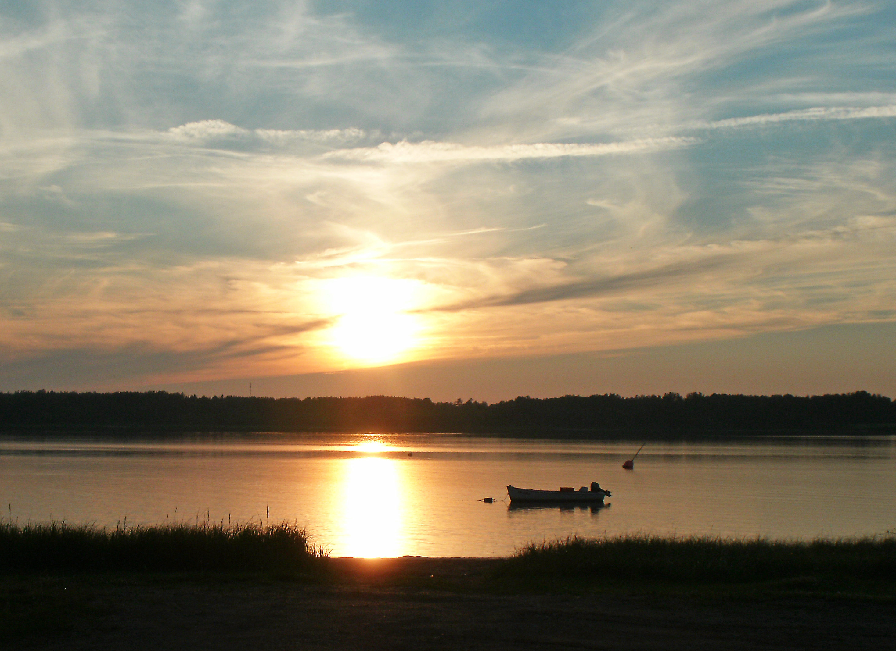
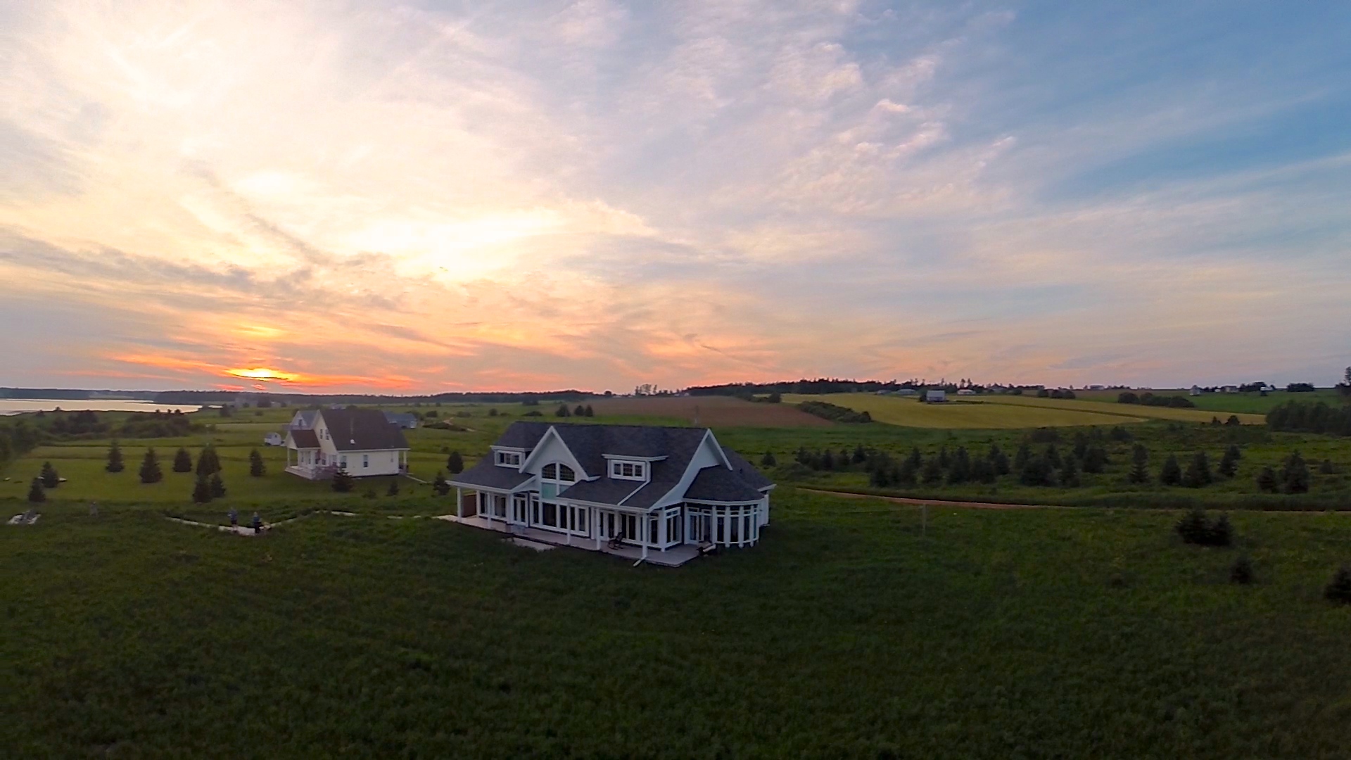
Sunset Sea

Beach Point Coast, Prince Edward Island (471035)
Prince Edward Island

Beach Point Coast, Prince Edward Island (471039)
PEI - 2013-07-313

Flood control
SpryAug10 28
Panmure Island PEI - 18
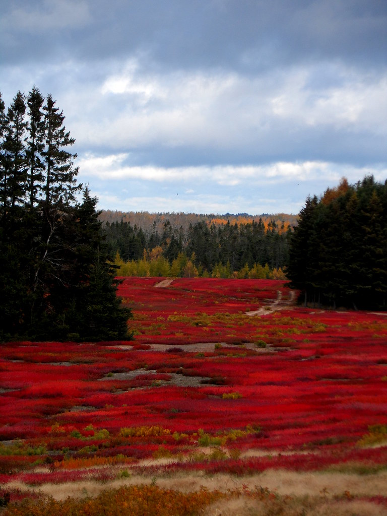
Blueberry fields in fall, Prince Edward Island, Canada
DSC_0153 Beach Point

Alone in the mouth of the river
DSC_0164 Beach Point
Wharf Graham's Pond, Prince Edward Island
Prince Edward Island
Topographic Map of Chemin Panmure Island, Montague, PE C0A 1R0, Canada
Find elevation by address:

Places near Chemin Panmure Island, Montague, PE C0A 1R0, Canada:
106 Richmond St
249 Peters Rd
MacKay Rd, Montague, PE C0A 1R0, Canada
94 Richmond St
Lot 61
Georgetown
1 Grafton St
Kings, Royalty
Poverty Beach Road
Wharf Rd, Cardigan, PE C0A 1G0, Canada
9 Mink River Rd, Montague, PE C0A 1R0, Canada
27 Mink River Rd
Seal Cove Campground
Lot 55
Peters Rd, Montague, PE C0A 1R0, Canada
Whim Rd, Montague, PE C0A 1R0, Canada
Lot 63
Cape Bear Rd, Murray Harbour, PE C0A 1V0, Canada
2404 Gladstone Rd
736 Primrose Rd
Recent Searches:
- Elevation of Great Brook Sports, Gold Star Hwy, Groton, CT, USA
- Elevation of 10 Mountain Laurels Dr, Nashua, NH, USA
- Elevation of 16 Gilboa Ln, Nashua, NH, USA
- Elevation of Laurel Rd, Townsend, TN, USA
- Elevation of 3 Nestling Wood Dr, Long Valley, NJ, USA
- Elevation of Ilungu, Tanzania
- Elevation of Yellow Springs Road, Yellow Springs Rd, Chester Springs, PA, USA
- Elevation of Rēzekne Municipality, Latvia
- Elevation of Plikpūrmaļi, Vērēmi Parish, Rēzekne Municipality, LV-, Latvia
- Elevation of 2 Henschke Ct, Caboolture QLD, Australia