Elevation of Chemin Monseigneur Martin O, Saint-Quentin, NB E8A 2H2, Canada
Location: Canada > New Brunswick > Restigouche County > Saint-quentin >
Longitude: -67.425784
Latitude: 47.5137619
Elevation: 262m / 860feet
Barometric Pressure: 98KPa
Elevation Map:
Satellite Map:
Related Photos:

A nameless field
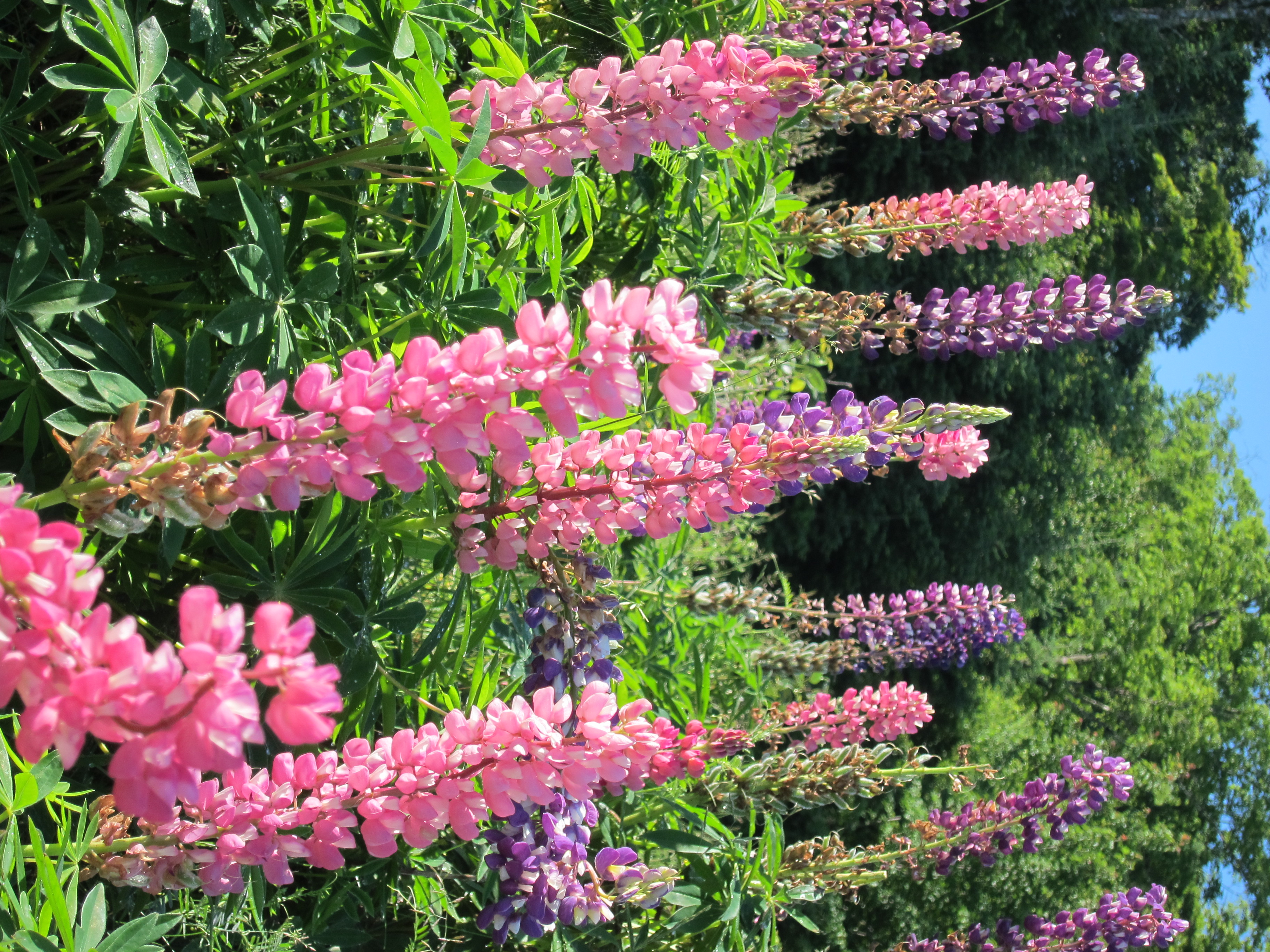
Lupinus perennis (lupine) growing wild along Provincial Highway 17
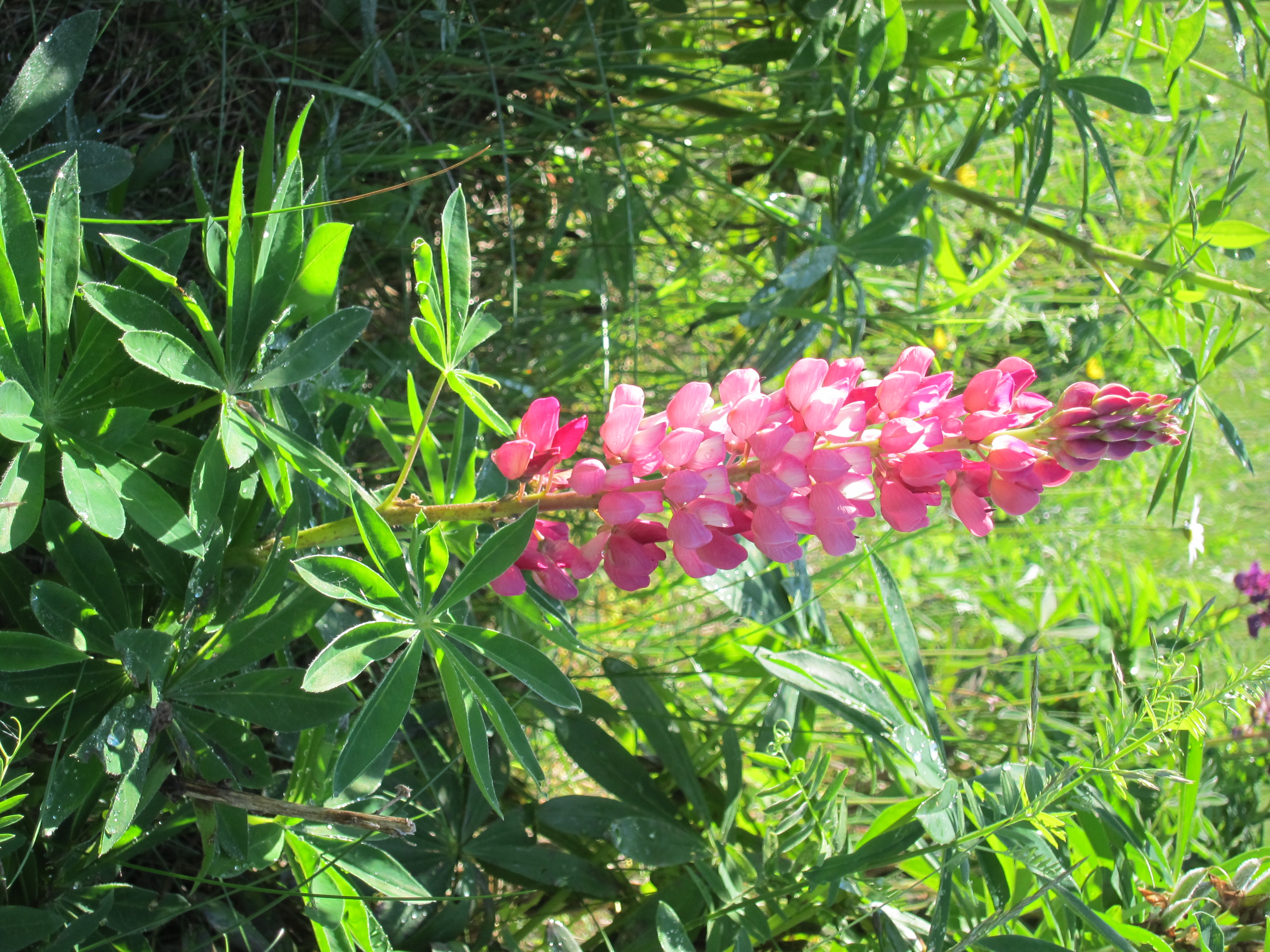
Lupinus perennis (lupine) growing wild along Provincial Highway 17

Highway 17 north of Saint-Quentin, New Brunswick

Kedgwick Lodge

New Brunswick road

Nice orange cat

Artistic Fire
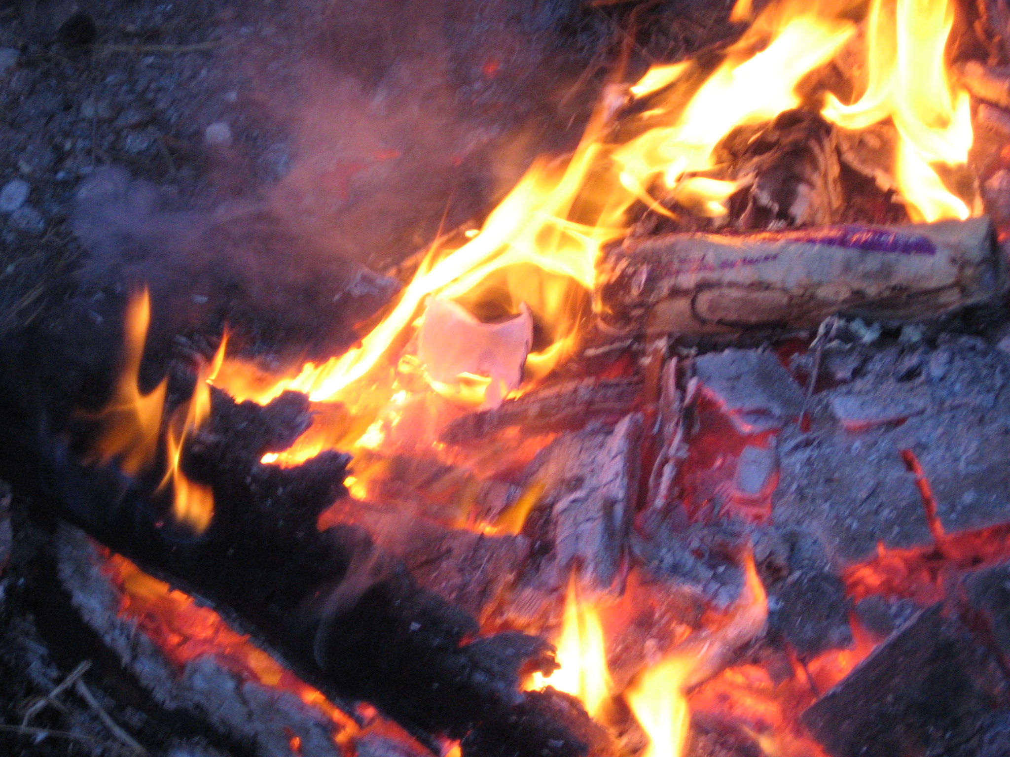
Fire closeup

Stairs on fire
Topographic Map of Chemin Monseigneur Martin O, Saint-Quentin, NB E8A 2H2, Canada
Find elevation by address:

Places near Chemin Monseigneur Martin O, Saint-Quentin, NB E8A 2H2, Canada:
Saint-quentin
Rue Saint Jean Baptiste
New Brunswick 260
Kedgwick
Kedgwick River
2 Rue Arpin, Kedgwick River, NB E8B 1R9, Canada
76 Chemin Quatre Milles, Kedgwick River, NB E8B 1V1, Canada
Grimmer
E8b 1y5
Denmark
Eldon
Mount Carleton
E7g 2r9
Crombie Settlement
NB-, Gordon, NB E7G, Canada
Victoria County
Sisson Ridge
Sisson Ridge Rd, Sisson Ridge, NB E7G 3X7, Canada
29 Anfield Rd, Anfield, NB E7G 1B1, Canada
Plaster Rock
Recent Searches:
- Elevation of Sattva Horizon, 4JC6+G9P, Vinayak Nagar, Kattigenahalli, Bengaluru, Karnataka, India
- Elevation of Great Brook Sports, Gold Star Hwy, Groton, CT, USA
- Elevation of 10 Mountain Laurels Dr, Nashua, NH, USA
- Elevation of 16 Gilboa Ln, Nashua, NH, USA
- Elevation of Laurel Rd, Townsend, TN, USA
- Elevation of 3 Nestling Wood Dr, Long Valley, NJ, USA
- Elevation of Ilungu, Tanzania
- Elevation of Yellow Springs Road, Yellow Springs Rd, Chester Springs, PA, USA
- Elevation of Rēzekne Municipality, Latvia
- Elevation of Plikpūrmaļi, Vērēmi Parish, Rēzekne Municipality, LV-, Latvia