Elevation of Chemin McKendrick, Val-d'Amours, NB E3N 5K6, Canada
Location: Canada > New Brunswick > Restigouche County > Addington > Val-d'amour >
Longitude: -66.682785
Latitude: 47.9140145
Elevation: 323m / 1060feet
Barometric Pressure: 98KPa
Elevation Map:
Satellite Map:
Related Photos:

Sugarloaf, Campbellton NB

Pointe-à-la-Croix, Quebec

Restigouche River
Campbellton, N.B, Van horne bridge

Canada, au Québec, le viaduc Van Horne Bridge sur la Rivière Restigouche

Campbellton, New Brunswick
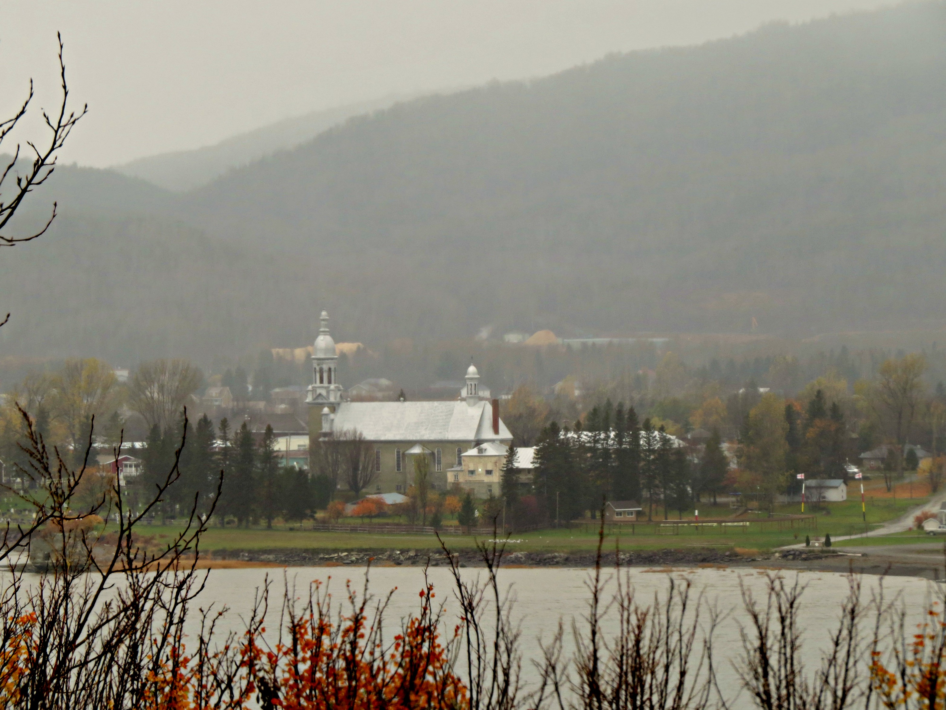
Rain and mist over the mountains and Church across the Restigouche River in Listuguj, Quebec from Atholville, New Brunswick

IMG_6240 Les prés de Baie au Chêne, Pointe-à-la-Croix

Restigouche River flood plain

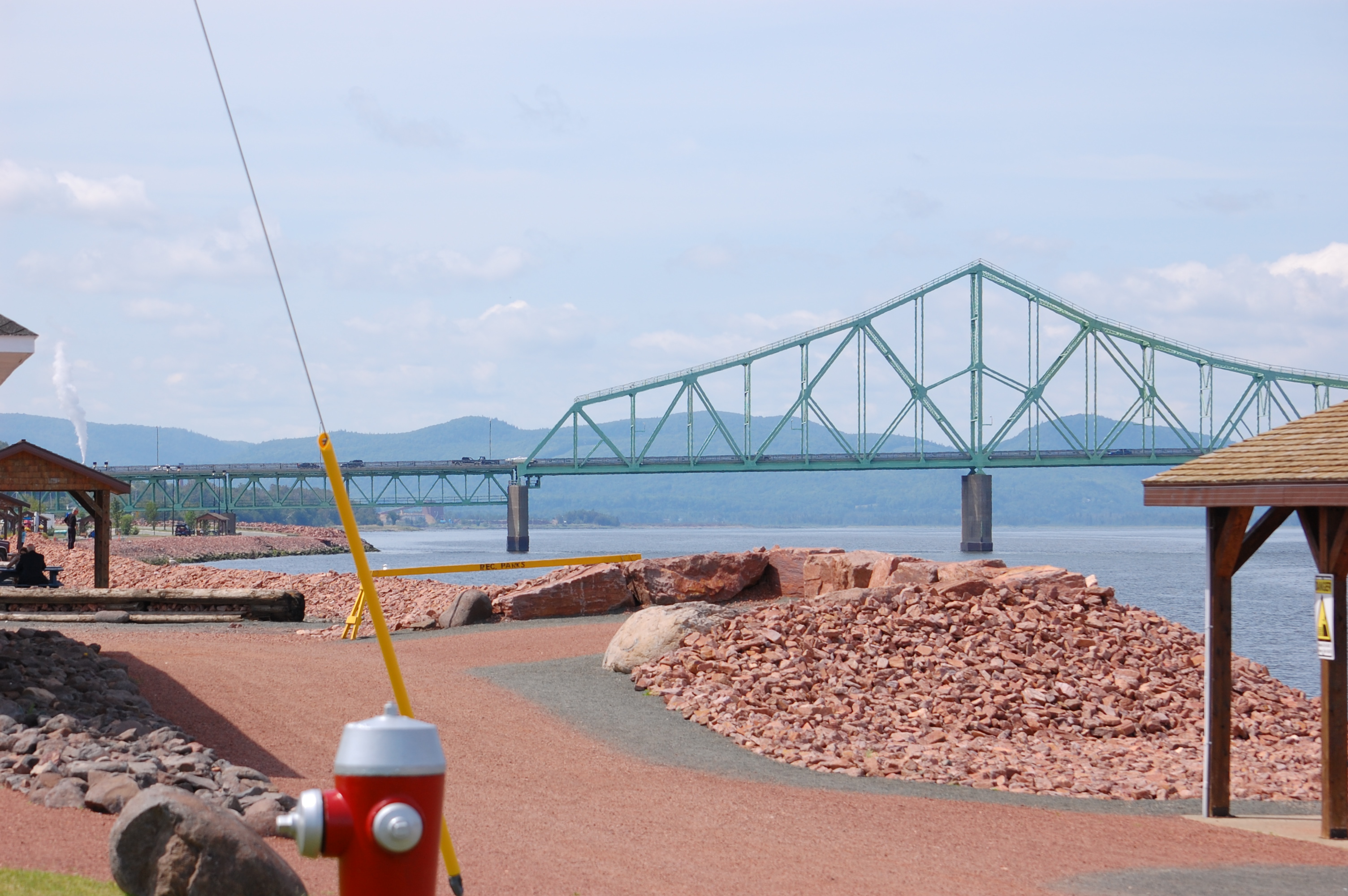
J.C. Van Horne Bridge
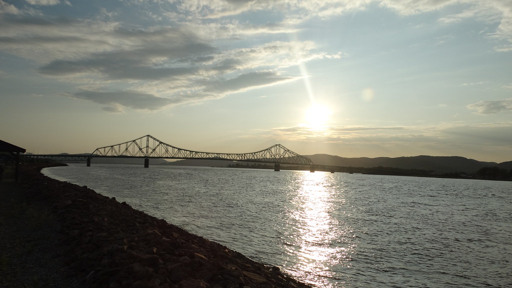
Campbellton, New Brunswick Photo J.C. Van Horne Interprovincial Bridge Open In 1967 Between Pointe-à-la-Croix Quebec And NB

Looking across the River to Quebec

Pointe-à-la-Croix, Quebec

Campbellton, New Brunswick Photo J.C. Van Horne Interprovincial Bridge Open In 1967 Between Pointe-à-la-Croix Quebec And NB

Campbellton, New Brunswick Photo J.C. Van Horne Interprovincial Bridge Open In 1967 Between Pointe-à-la-Croix Quebec And NB

Bathurst, New Brunswick Photo Shores Of Quebec

Looking Across the Bay and Backward in Time(?)

Bathurst, New Brunswick Photo Shores Of Quebec

Campbellton, New Brunswick Photo Looking At Quebec

Summit Trail

Summit Trail

Sugarloaf Provincial Park
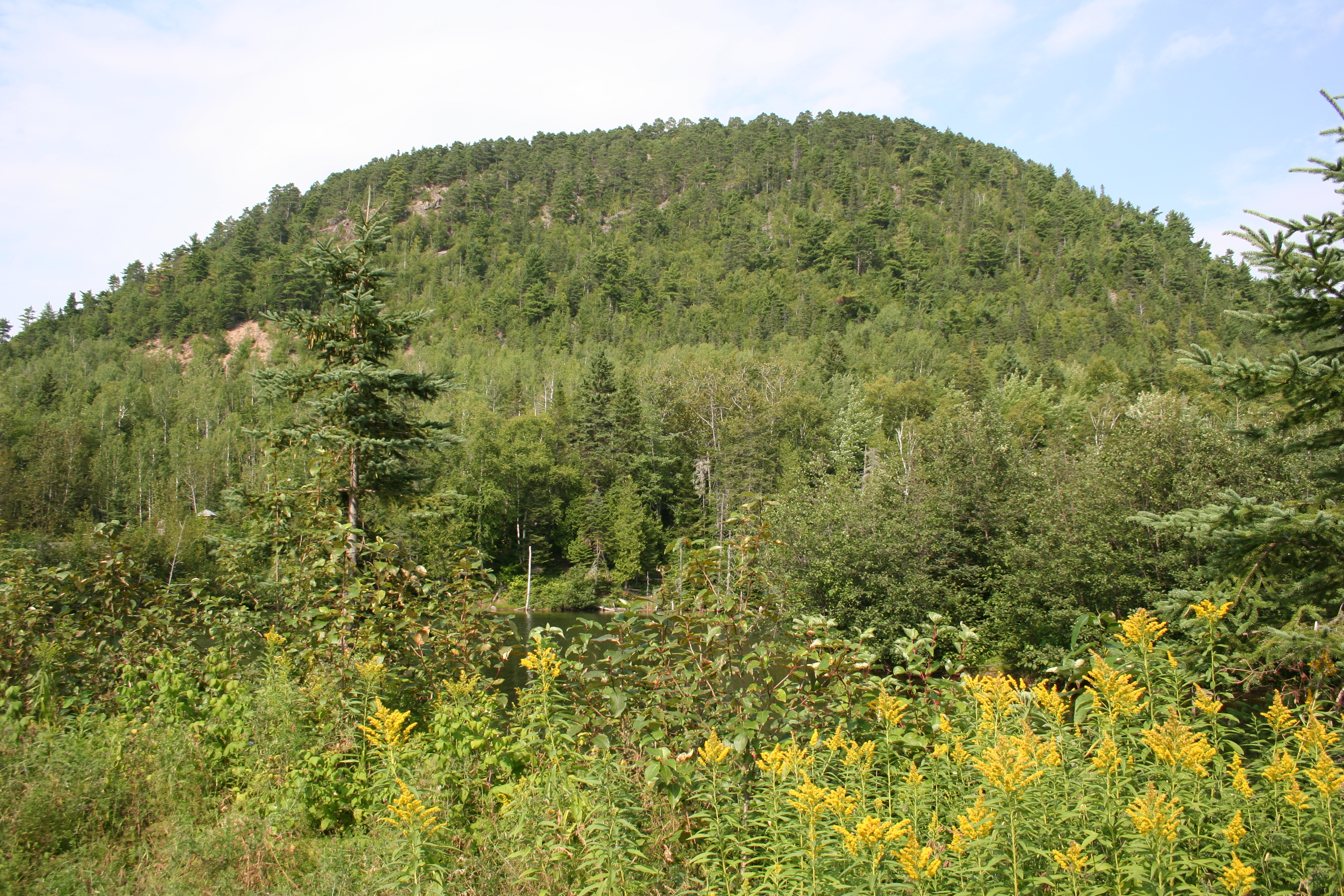
Sugarloaf Mountain
Topographic Map of Chemin McKendrick, Val-d'Amours, NB E3N 5K6, Canada
Find elevation by address:

Places near Chemin McKendrick, Val-d'Amours, NB E3N 5K6, Canada:
Chemin McKendrick, Val-d'Amours, NB E3N 5K6, Canada
Mckendrick
Val-d'amour
Sugarloaf Provincial Park
25 Savoie Ave
Saint-arthur
Atholville
Sugarloaf Senior High School
E3n 2k4
12 Comeau Ave
7 Patterson St
Campbellton
NB-, Saint-Arthur, NB E3N 5S4, Canada
King Street
Pointe-à-la-croix
124 Babcock St E
92 Riverside Rd
92 Riverside Rd
92 Riverside Rd
88 Riverside Rd
Recent Searches:
- Elevation of Rojo Ct, Atascadero, CA, USA
- Elevation of Flagstaff Drive, Flagstaff Dr, North Carolina, USA
- Elevation of Avery Ln, Lakeland, FL, USA
- Elevation of Woolwine, VA, USA
- Elevation of Lumagwas Diversified Farmers Multi-Purpose Cooperative, Lumagwas, Adtuyon, RV32+MH7, Pangantucan, Bukidnon, Philippines
- Elevation of Homestead Ridge, New Braunfels, TX, USA
- Elevation of Orchard Road, Orchard Rd, Marlborough, NY, USA
- Elevation of 12 Hutchinson Woods Dr, Fletcher, NC, USA
- Elevation of Holloway Ave, San Francisco, CA, USA
- Elevation of Norfolk, NY, USA