Elevation of Chemin Drummond Station, Drummond, NB E3Y 1W3, Canada
Location: Canada > New Brunswick > Victoria County >
Longitude: -67.682004
Latitude: 47.0353962
Elevation: 213m / 699feet
Barometric Pressure: 99KPa
Elevation Map:
Satellite Map:
Related Photos:
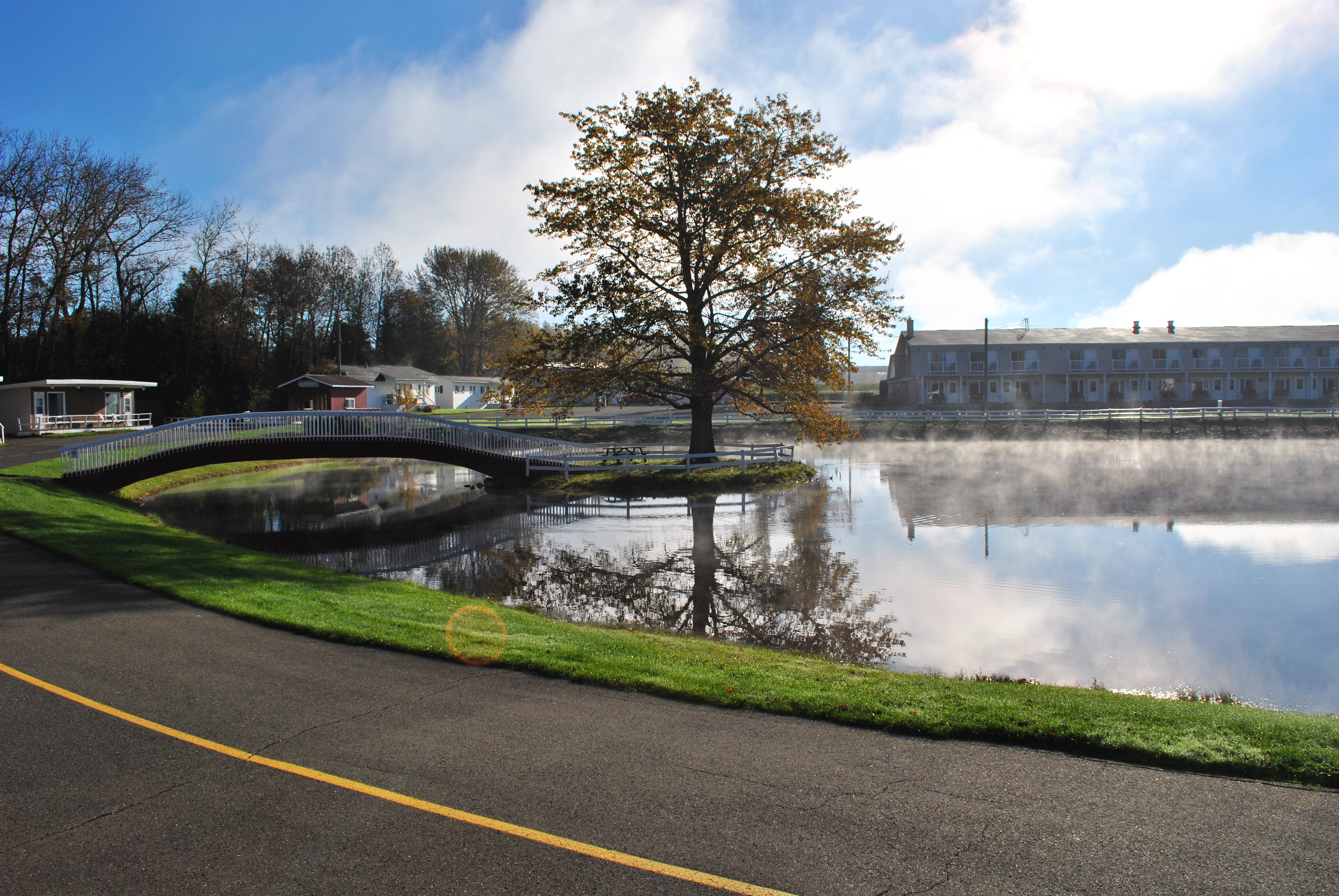
The View from our Cottage of Pres Du Lac 1/2

Grand Falls at Dawn
Why?
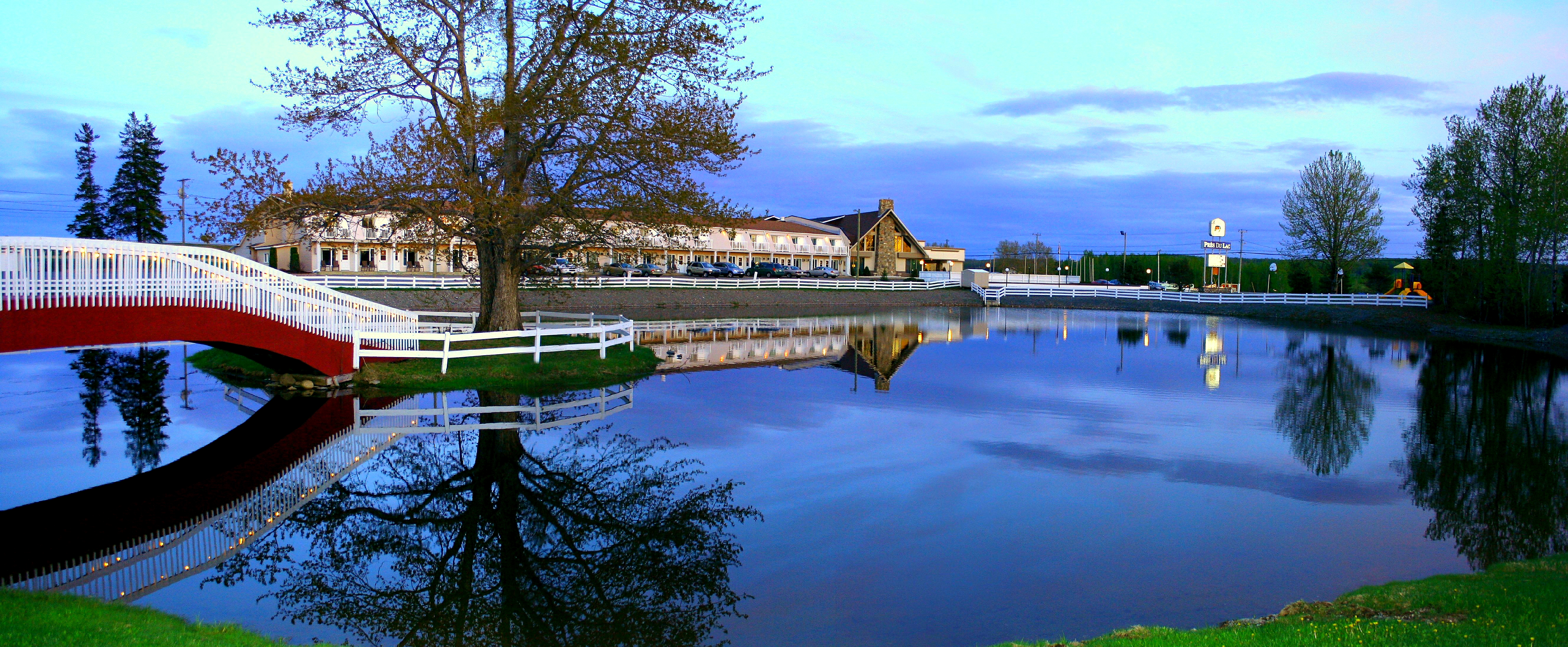
Pres du Lac

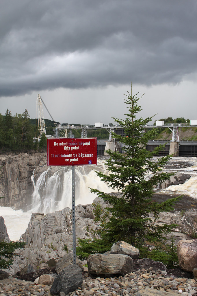
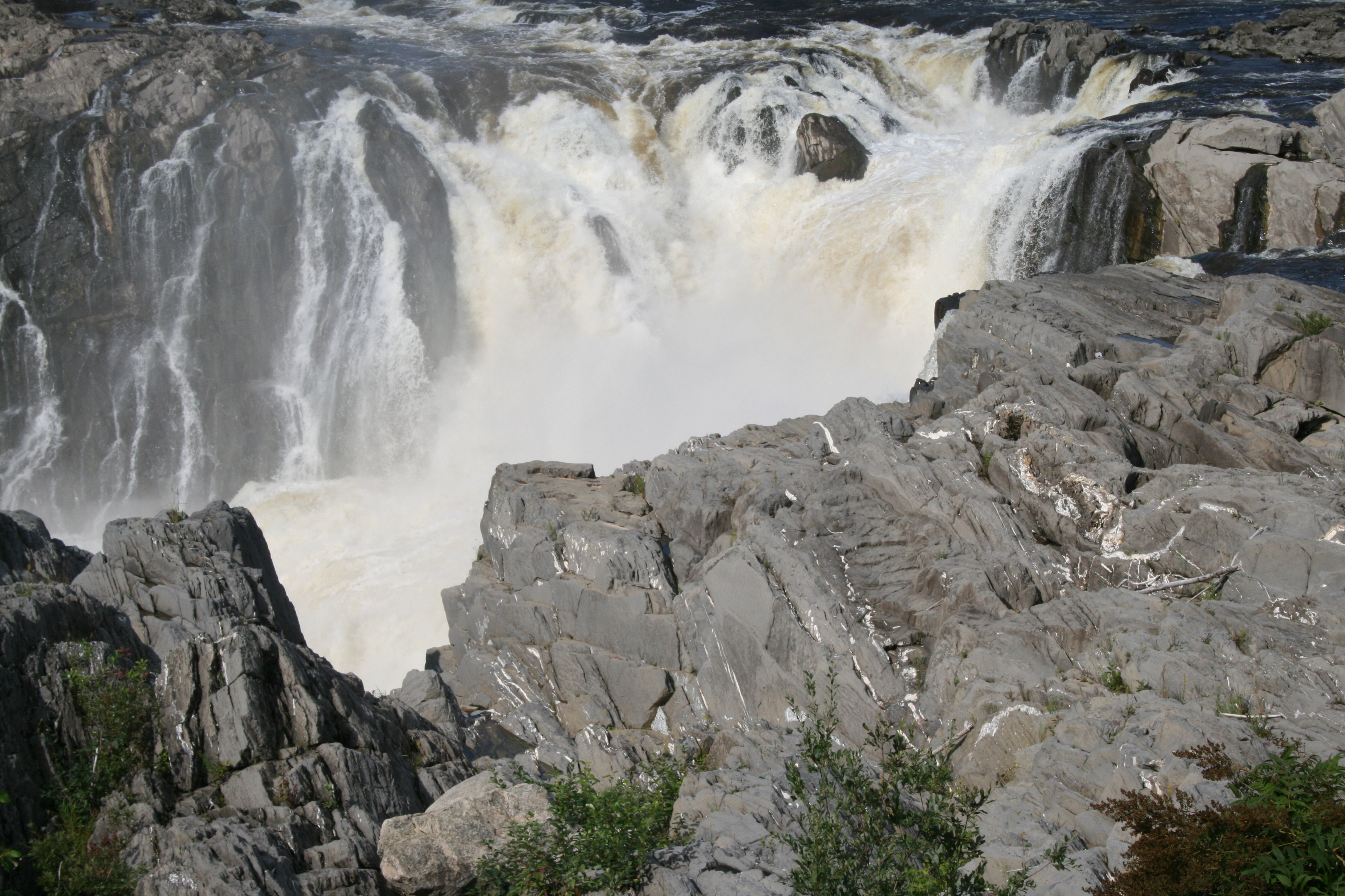
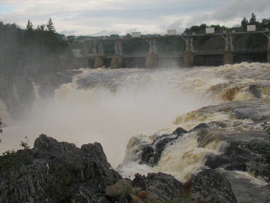
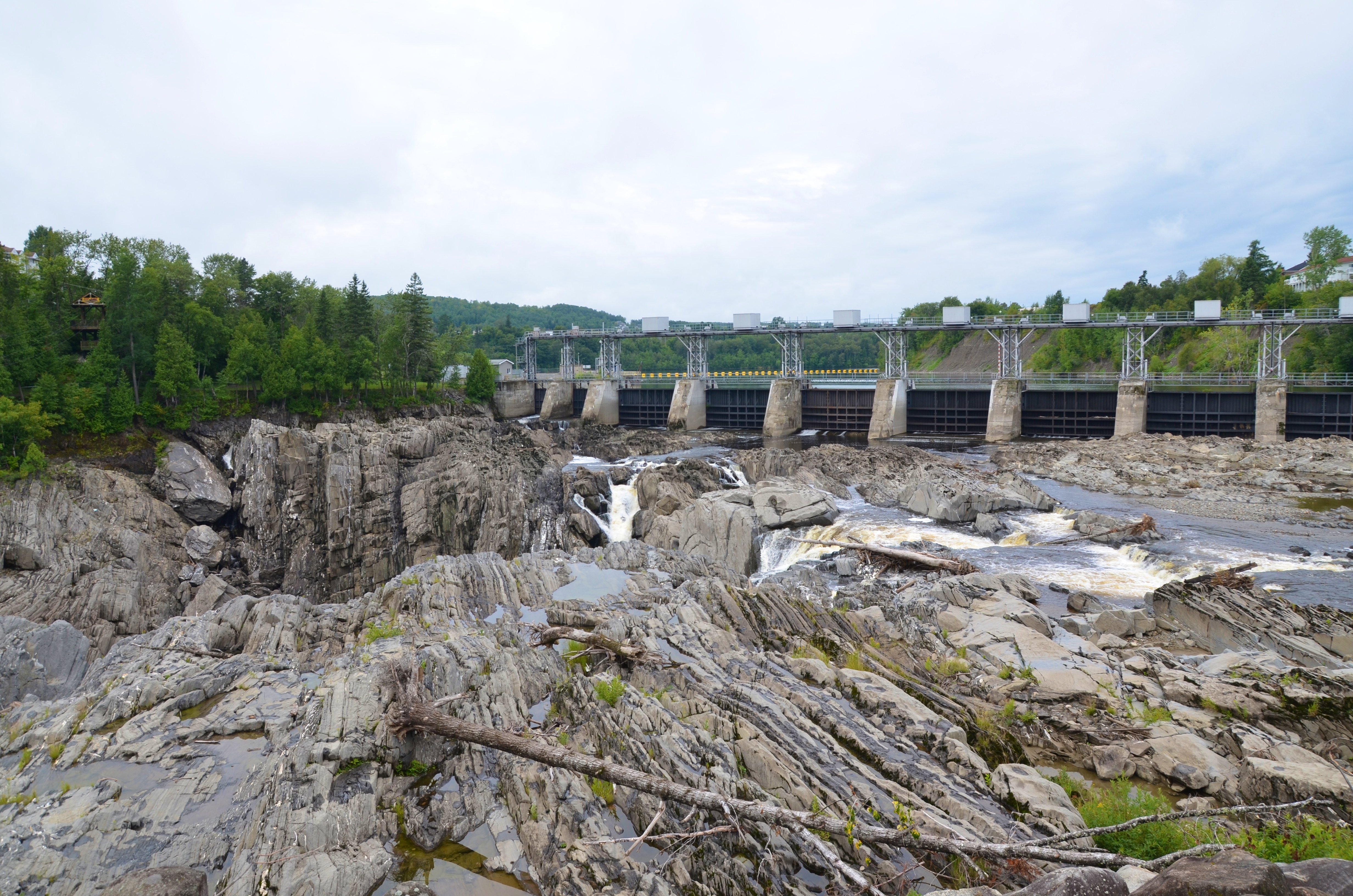
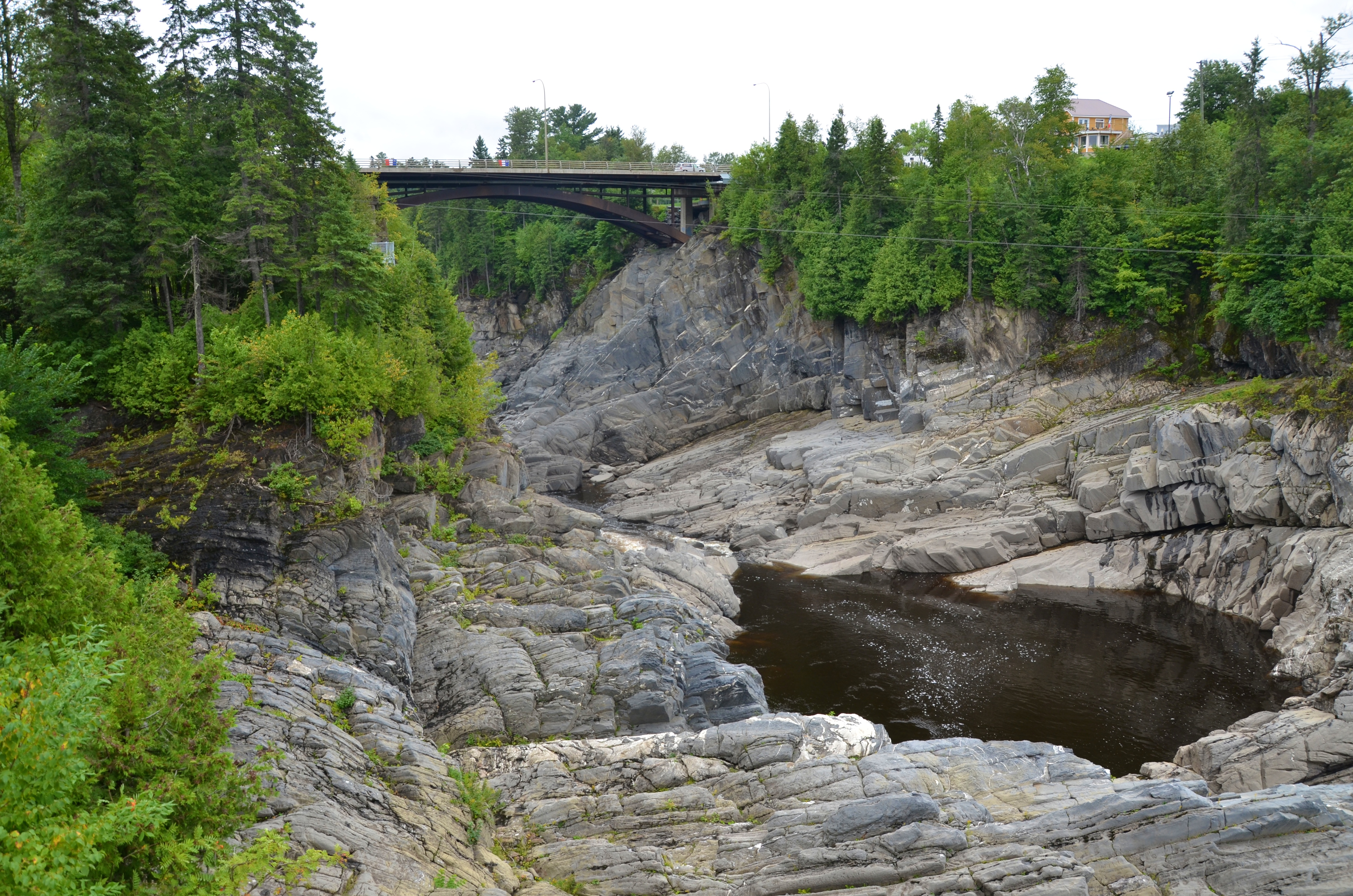
Grand Falls_Gorge

Saint John River
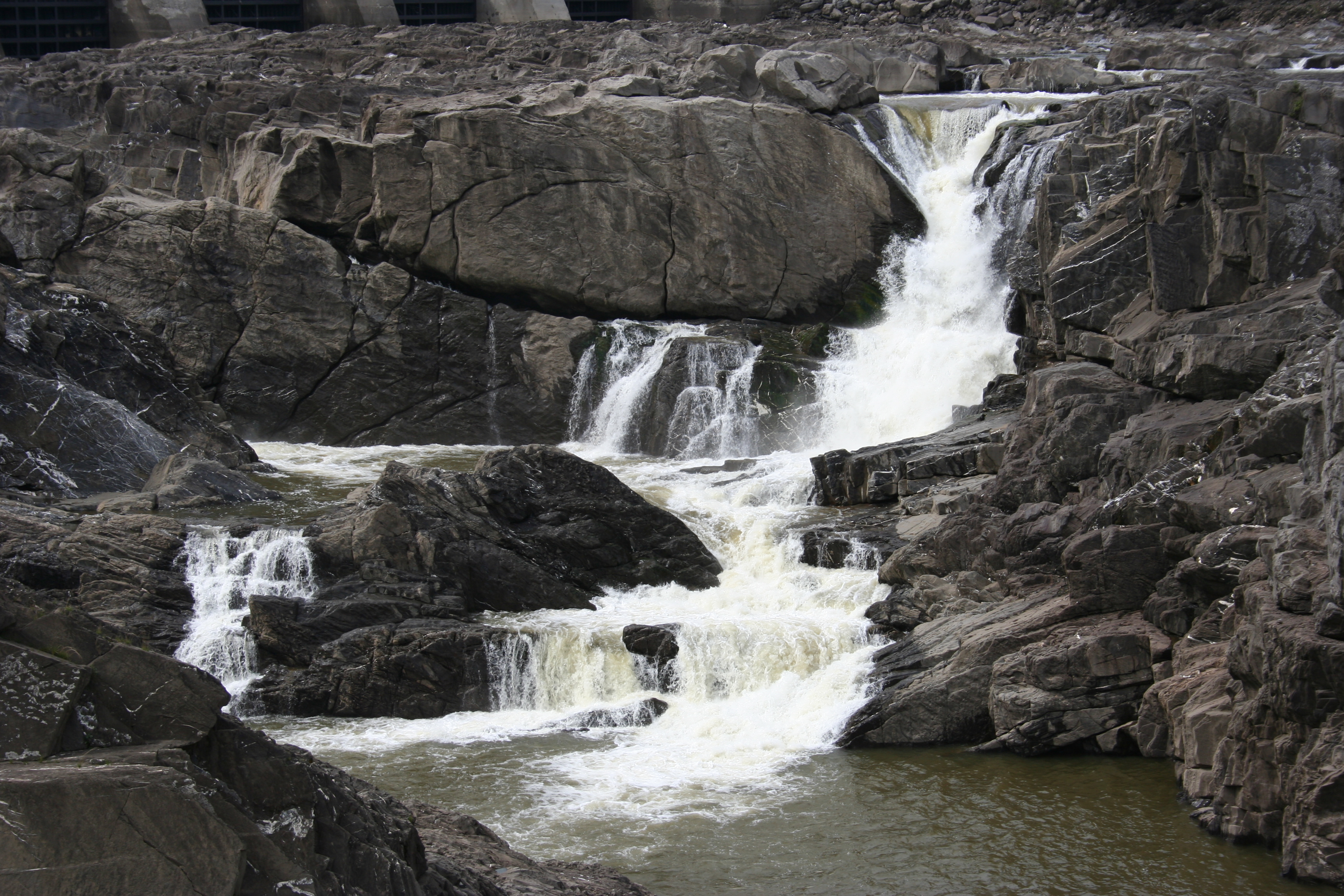
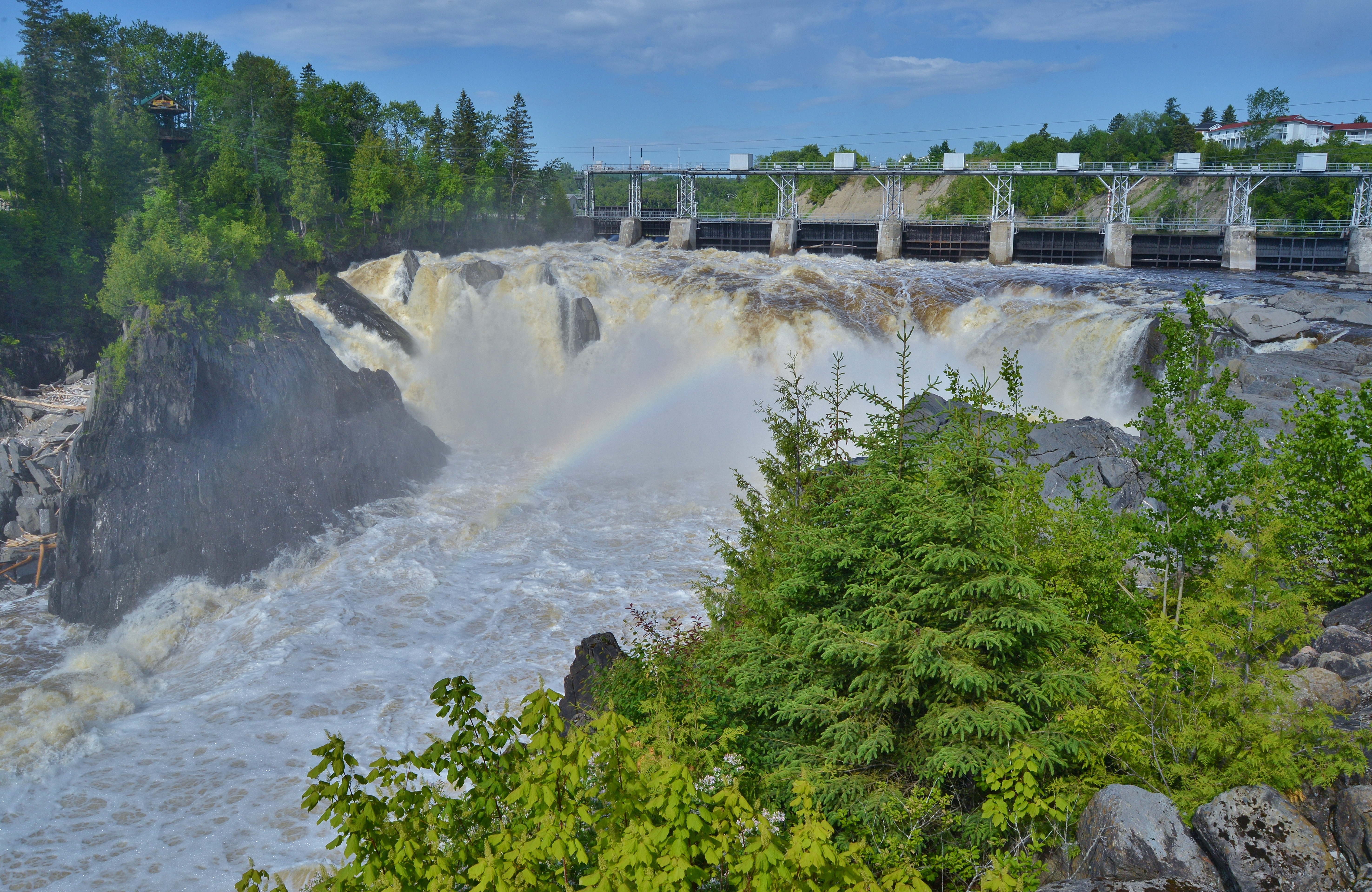
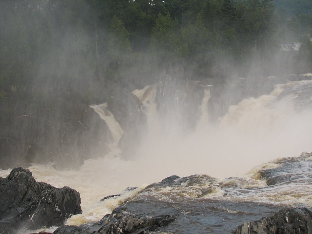
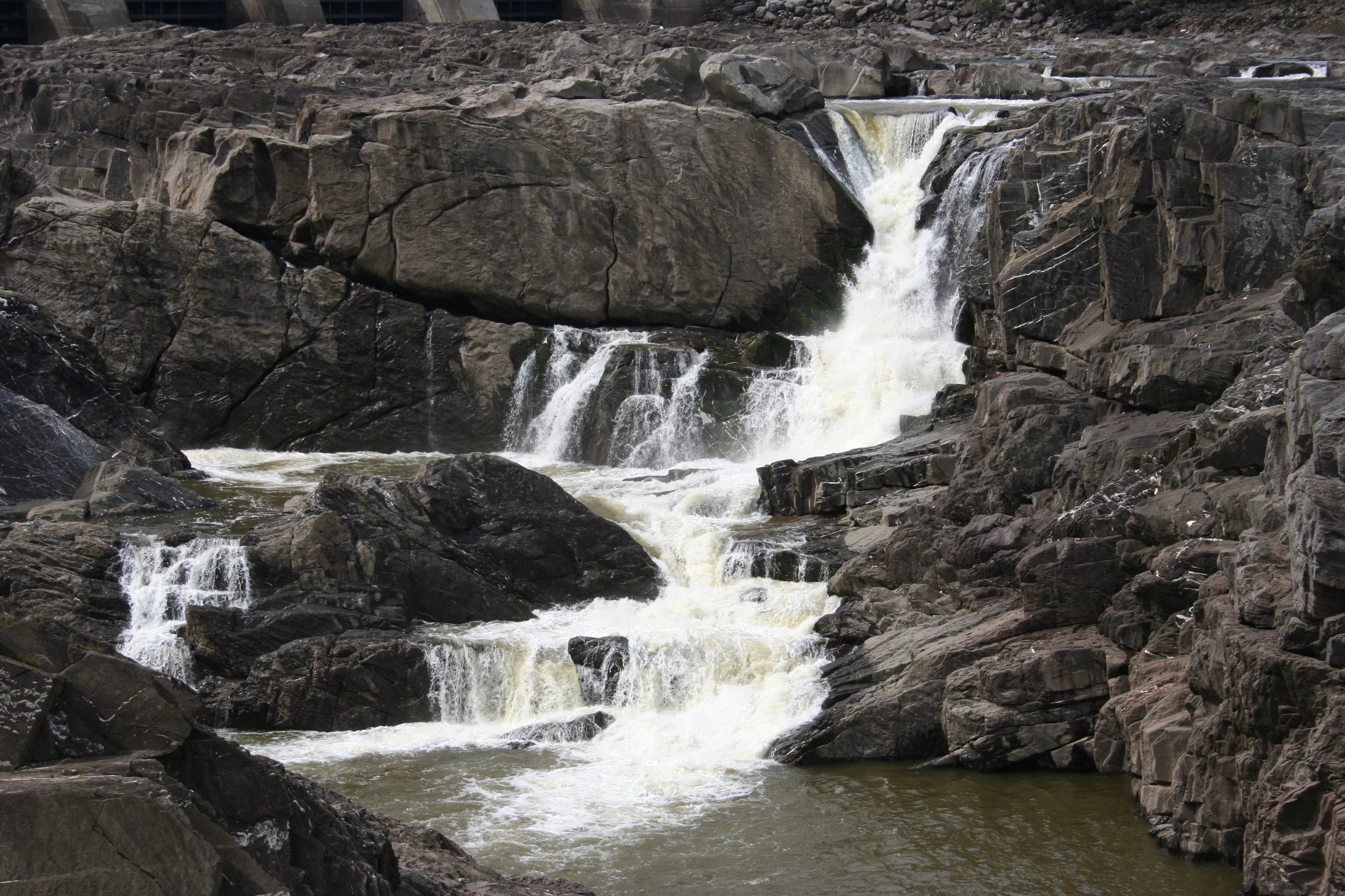
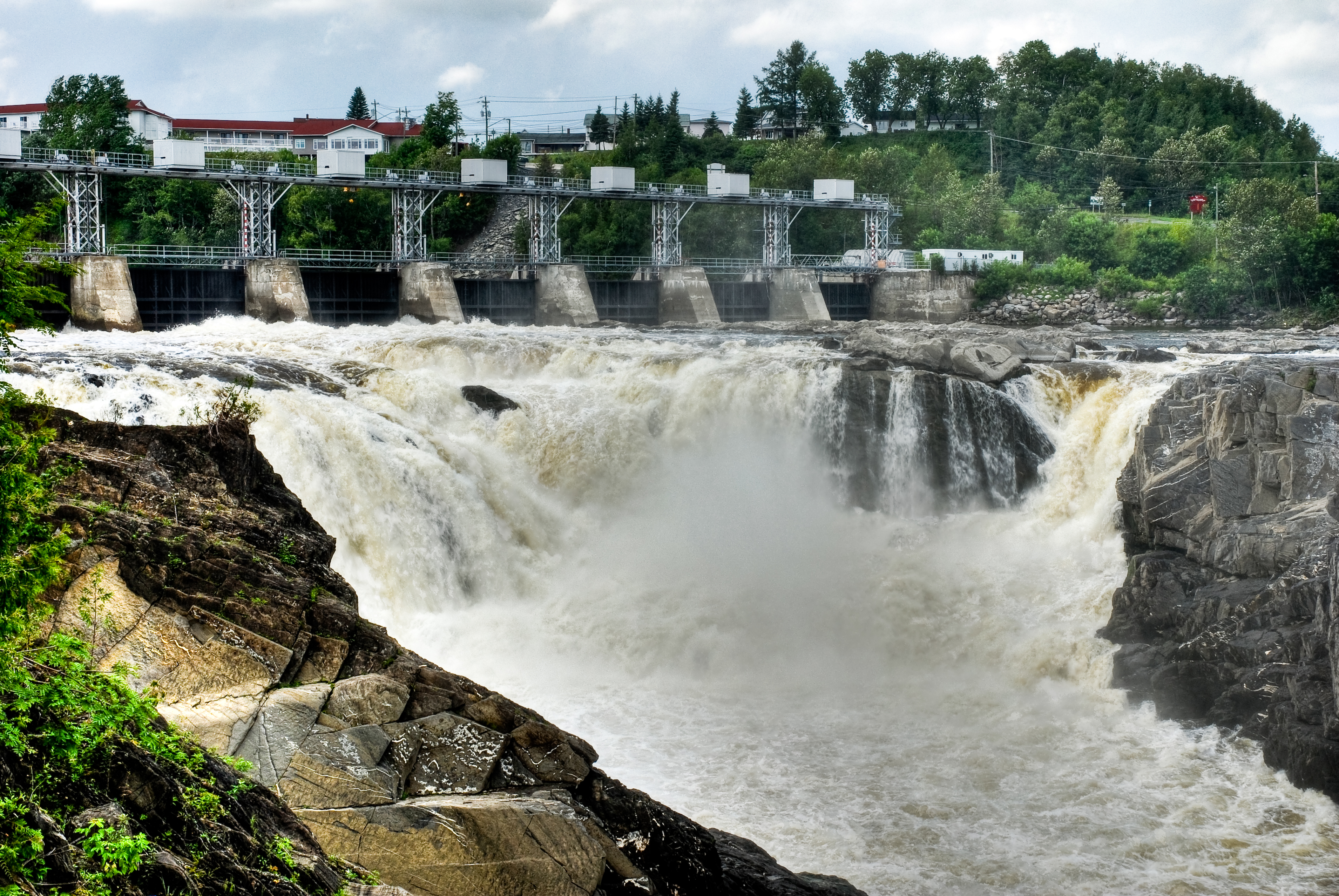
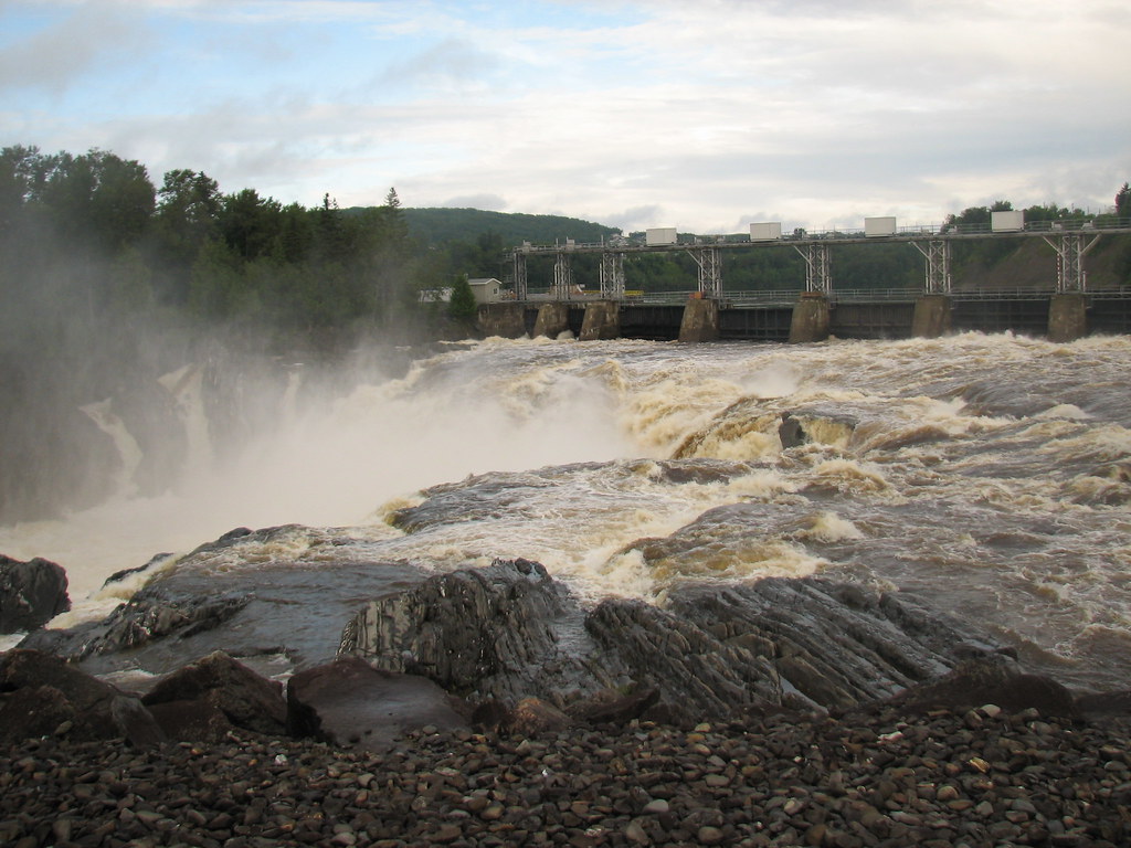
Grand Falls
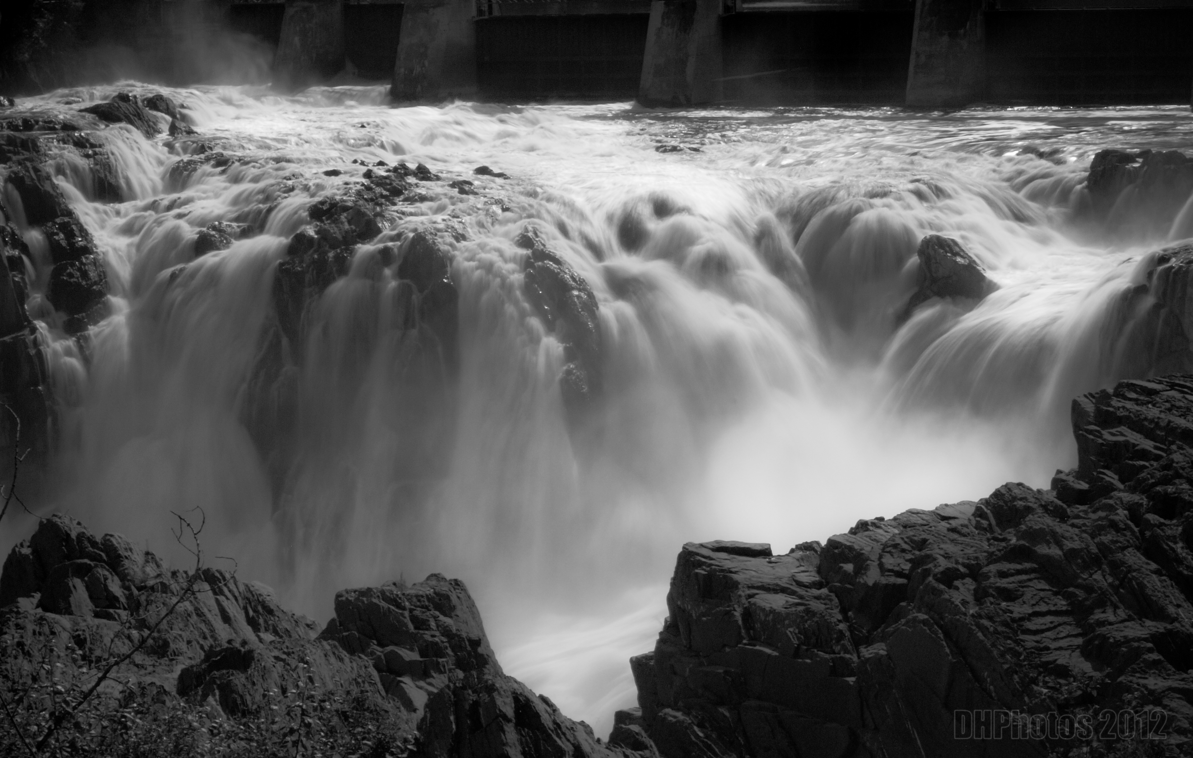
Grand Falls_B&W
Grand Falls
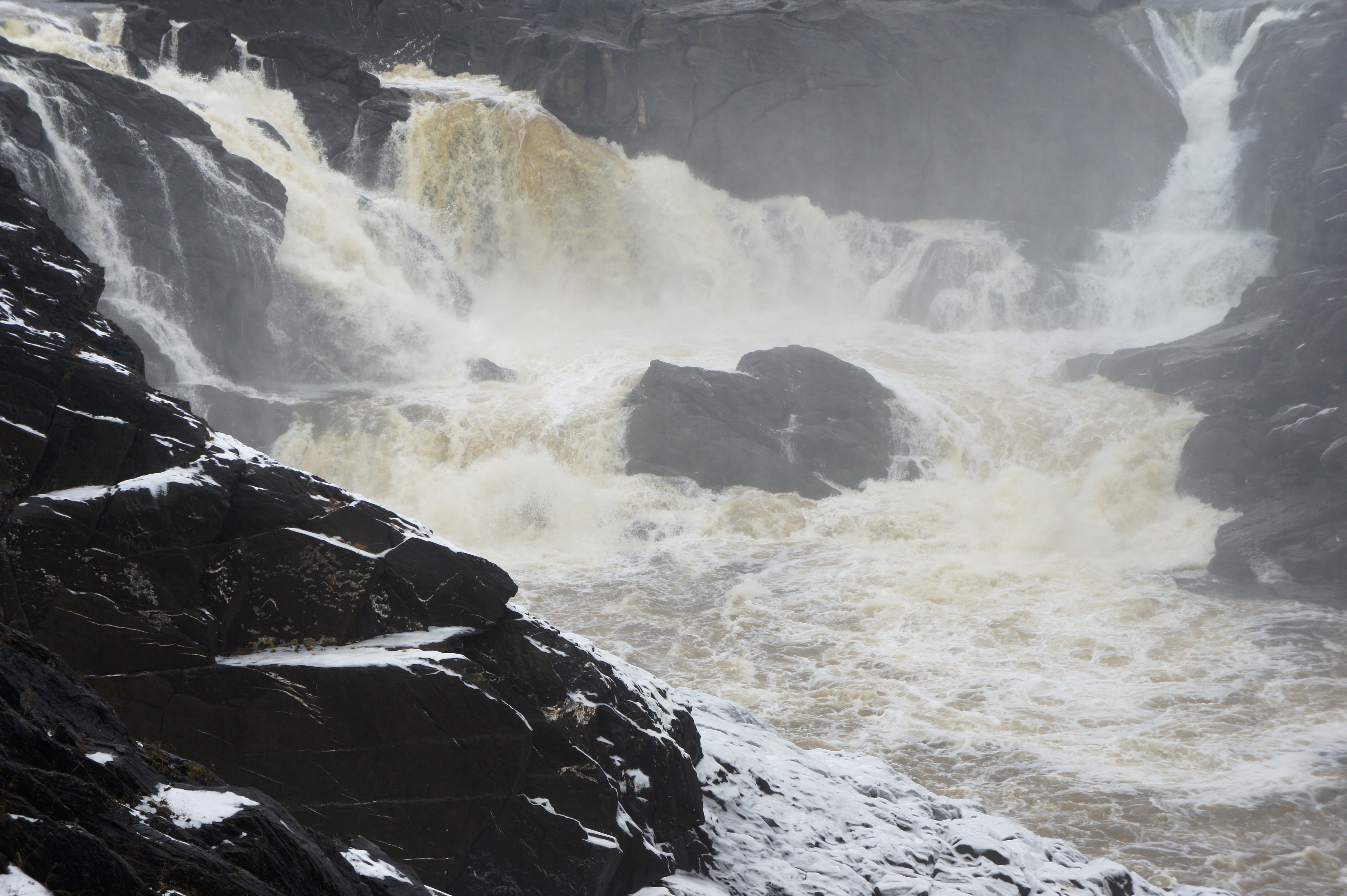
Cataract in Winter, Grand Falls
St John River
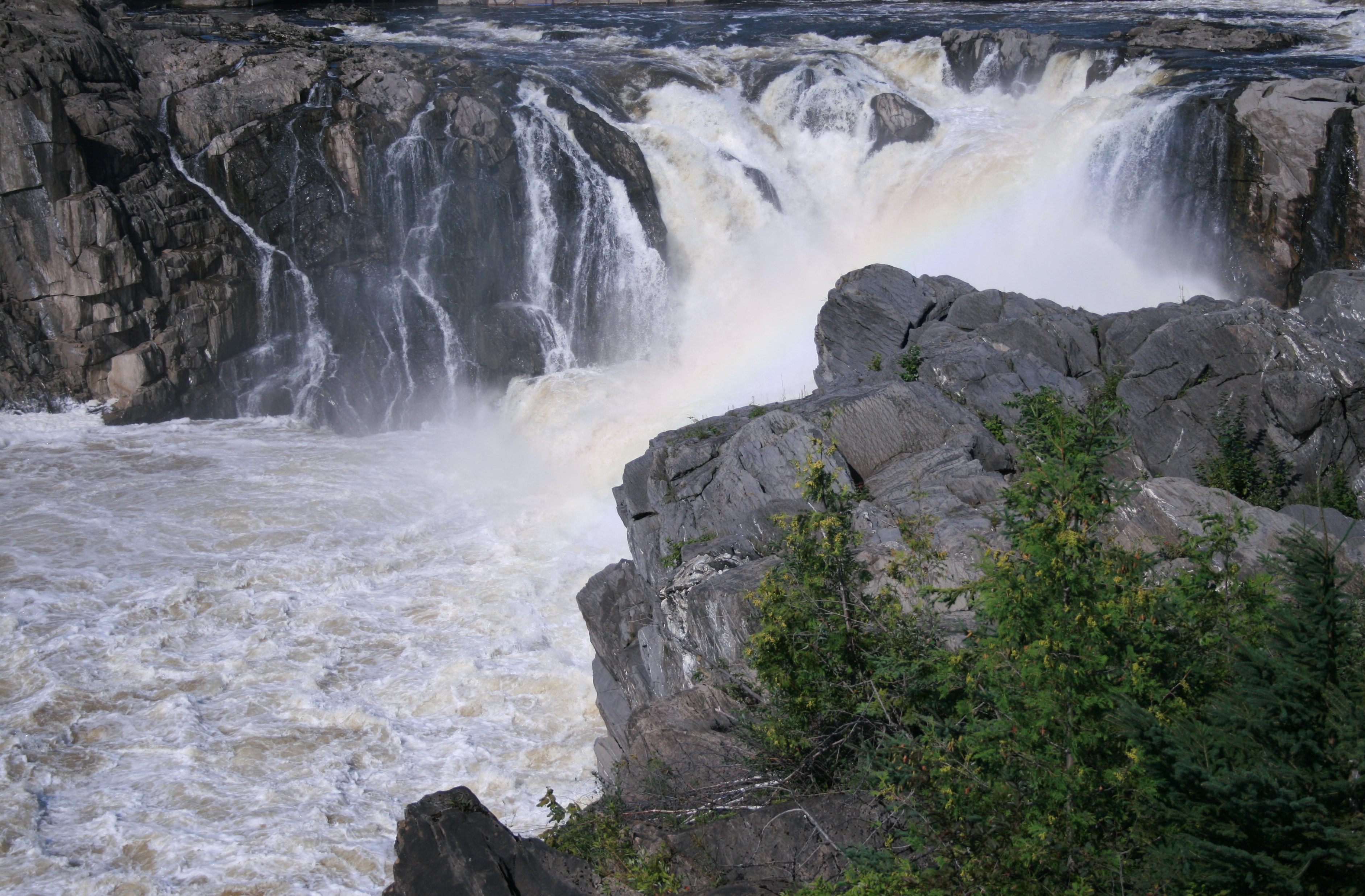
Grand Falls 9
Grand Falls
Grand Falls 1
We stopped at Grand Falls
Grand Falls 8
Grand Falls
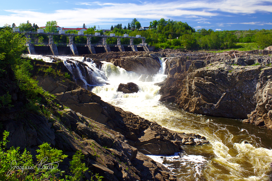
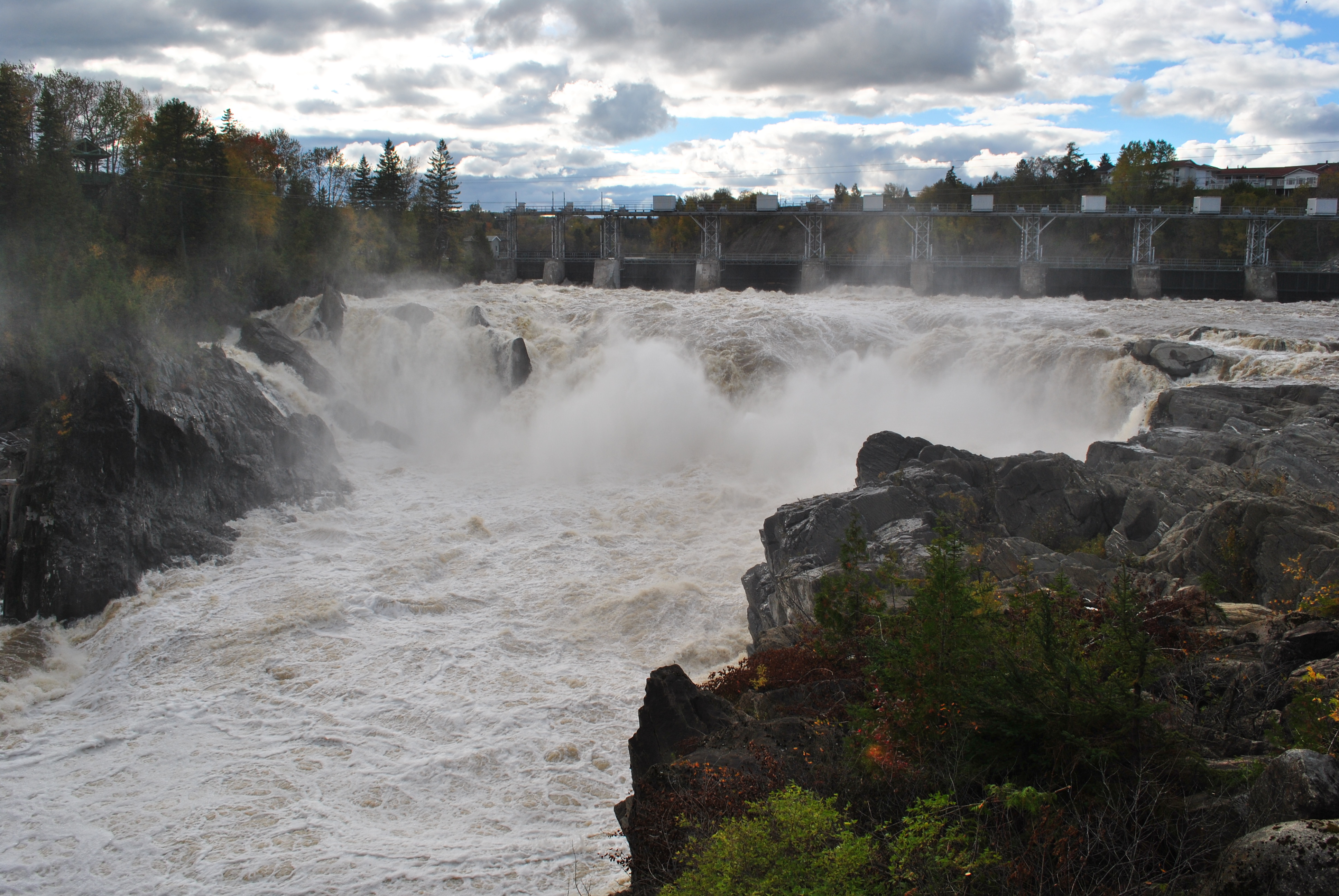
Grand-Sault

Pano December Falls
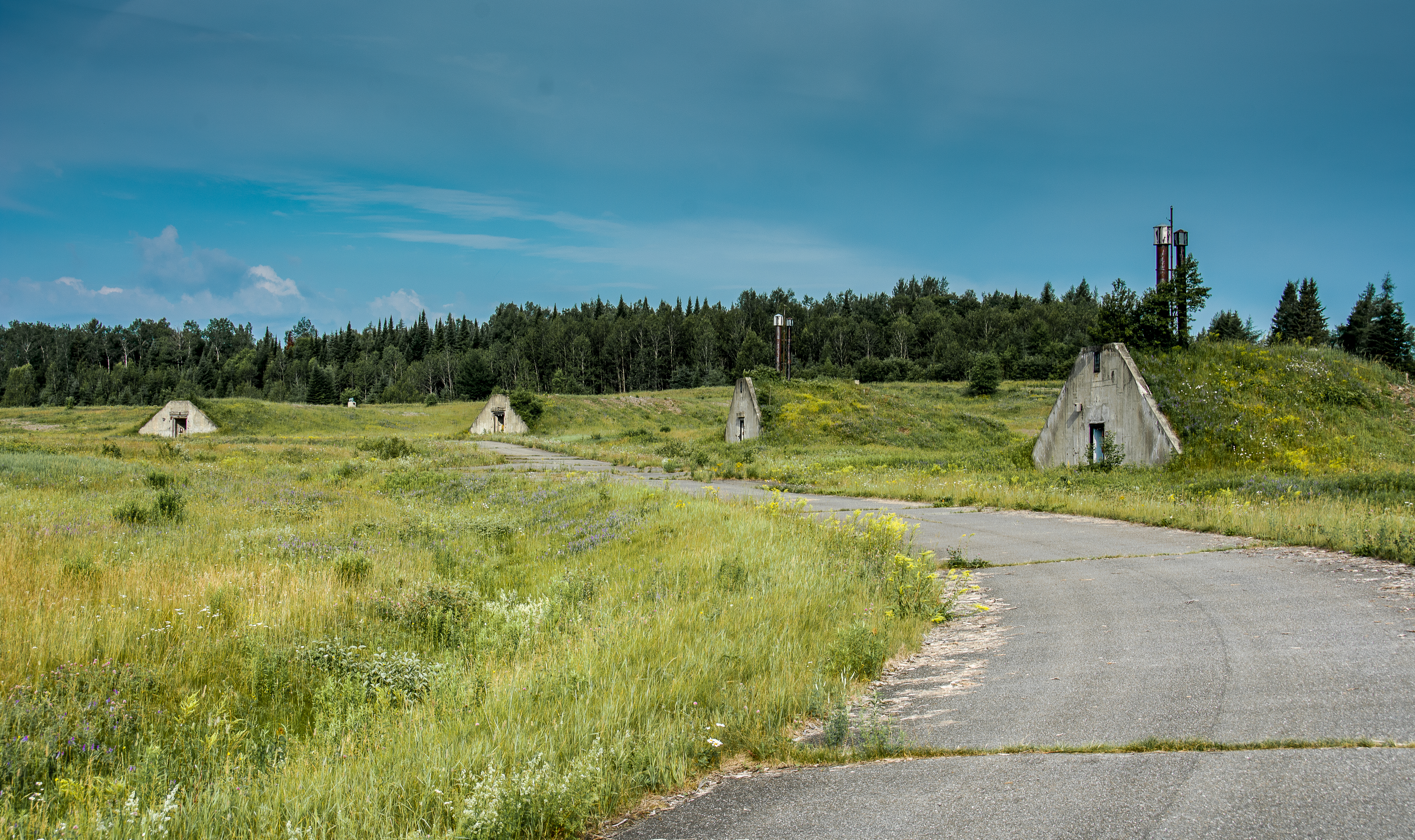
Nuclear War Head Bunkers
Grand Falls
Grand Falls
Grand Falls 10
Grand Falls

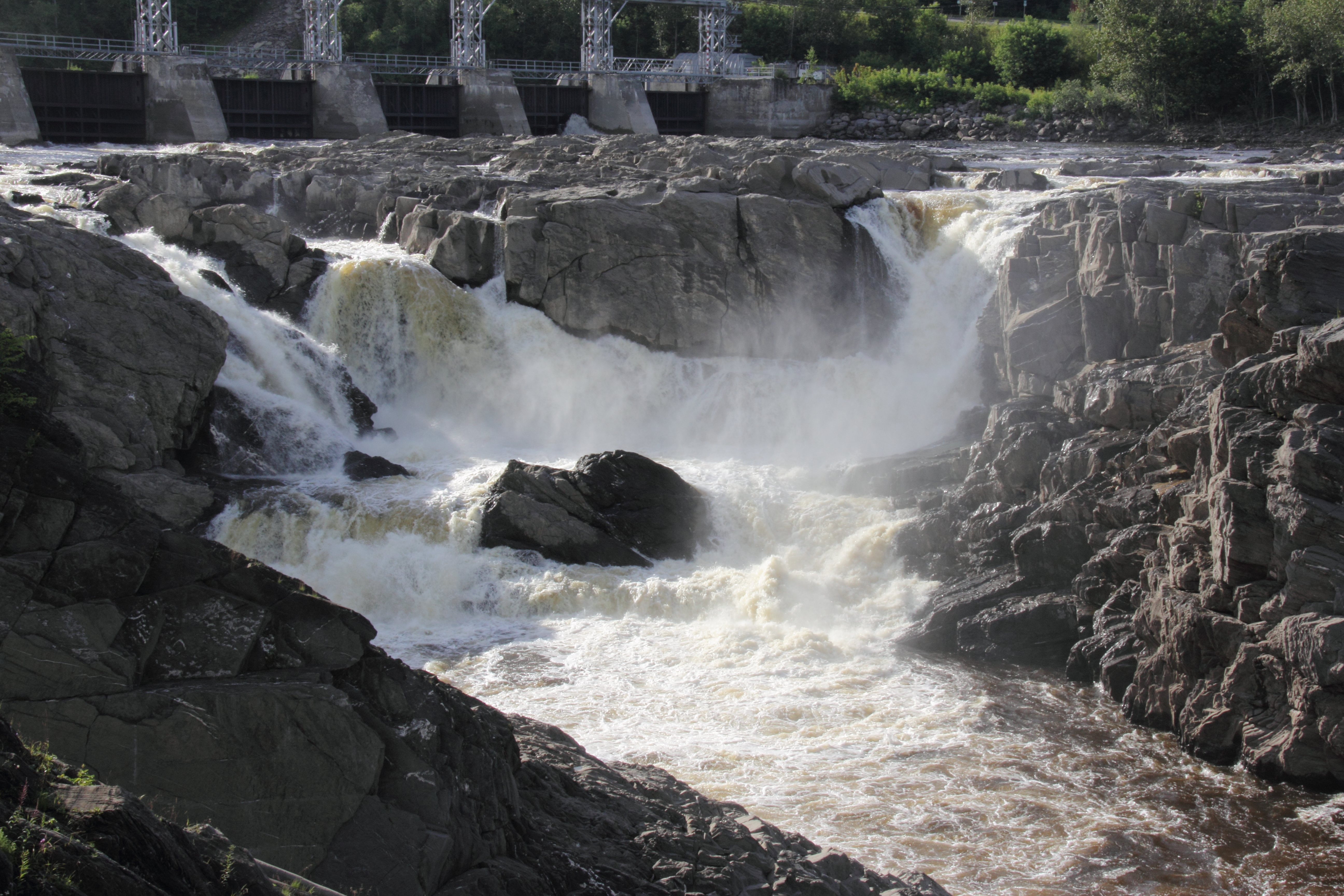
Grand Falls - Down Stream
Topographic Map of Chemin Drummond Station, Drummond, NB E3Y 1W3, Canada
Find elevation by address:

Places near Chemin Drummond Station, Drummond, NB E3Y 1W3, Canada:
Drummond
738 Ennishore Rd
738 Chemin Ennishore
Chemin Tobique, Grand-Sault, NB E3Y, Canada
30 Chemin Waddell Loop, Saint André, NB E3Y 3S1, Canada
160 Rue Réservoir
Grand Falls
Grand Falls
Dsl De Drummond
Lucy's Gulch
191 Francoeur Hill Rd
Williams Rd, Grand Falls, NB E3Z 1A9, Canada
New Denmark
Saint André
St André Rd, Saint André, NB E3Y 2Y6, Canada
920 Nb-380
561 King Kristian Rd
Grand Falls
Chemin Canton, DSL de Drummond, NB E3Y 1L7, Canada
NB-, Saint André, NB E3Y 1G7, Canada
Recent Searches:
- Elevation of Luther Road, Luther Rd, Auburn, CA, USA
- Elevation of Unnamed Road, Respublika Severnaya Osetiya — Alaniya, Russia
- Elevation of Verkhny Fiagdon, North Ossetia–Alania Republic, Russia
- Elevation of F. Viola Hiway, San Rafael, Bulacan, Philippines
- Elevation of Herbage Dr, Gulfport, MS, USA
- Elevation of Lilac Cir, Haldimand, ON N3W 2G9, Canada
- Elevation of Harrod Branch Road, Harrod Branch Rd, Kentucky, USA
- Elevation of Wyndham Grand Barbados Sam Lords Castle All Inclusive Resort, End of Belair Road, Long Bay, Bridgetown Barbados
- Elevation of Iga Trl, Maggie Valley, NC, USA
- Elevation of N Co Rd 31D, Loveland, CO, USA