Elevation of Chemin des Fremigières, Lapalud, France
Location: France > Provence-alpes-côte D'azur > Vaucluse > Lapalud >
Longitude: 4.6710436
Latitude: 44.3195847
Elevation: 47m / 154feet
Barometric Pressure: 101KPa
Elevation Map:
Satellite Map:
Related Photos:
~~ Welcome to Ardeche ~~
Altes Herrenhaus

~~ My soul in B&W ~~

French Hospitality

La croix

Gouttes42.jpg
#view from la #garde #adhemar #drome #rhonealpes #france #landscape
Rue Pierre Larousse - Pierrelatte (France)

mini-me

Gouttes.jpg
Source du parc pradelle.jpg

Pont du Saint-Esprit - Pont-Saint-Esprit (France)

Pause to check out the view.
Mornas on the A6 Autoroute
Mornas on the A6 Autoroute
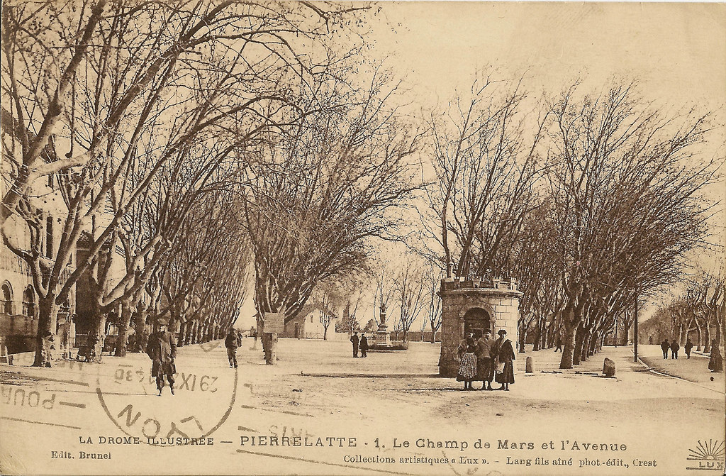
Carte postale Pierrelatte1.jpg
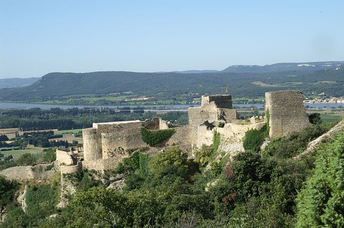
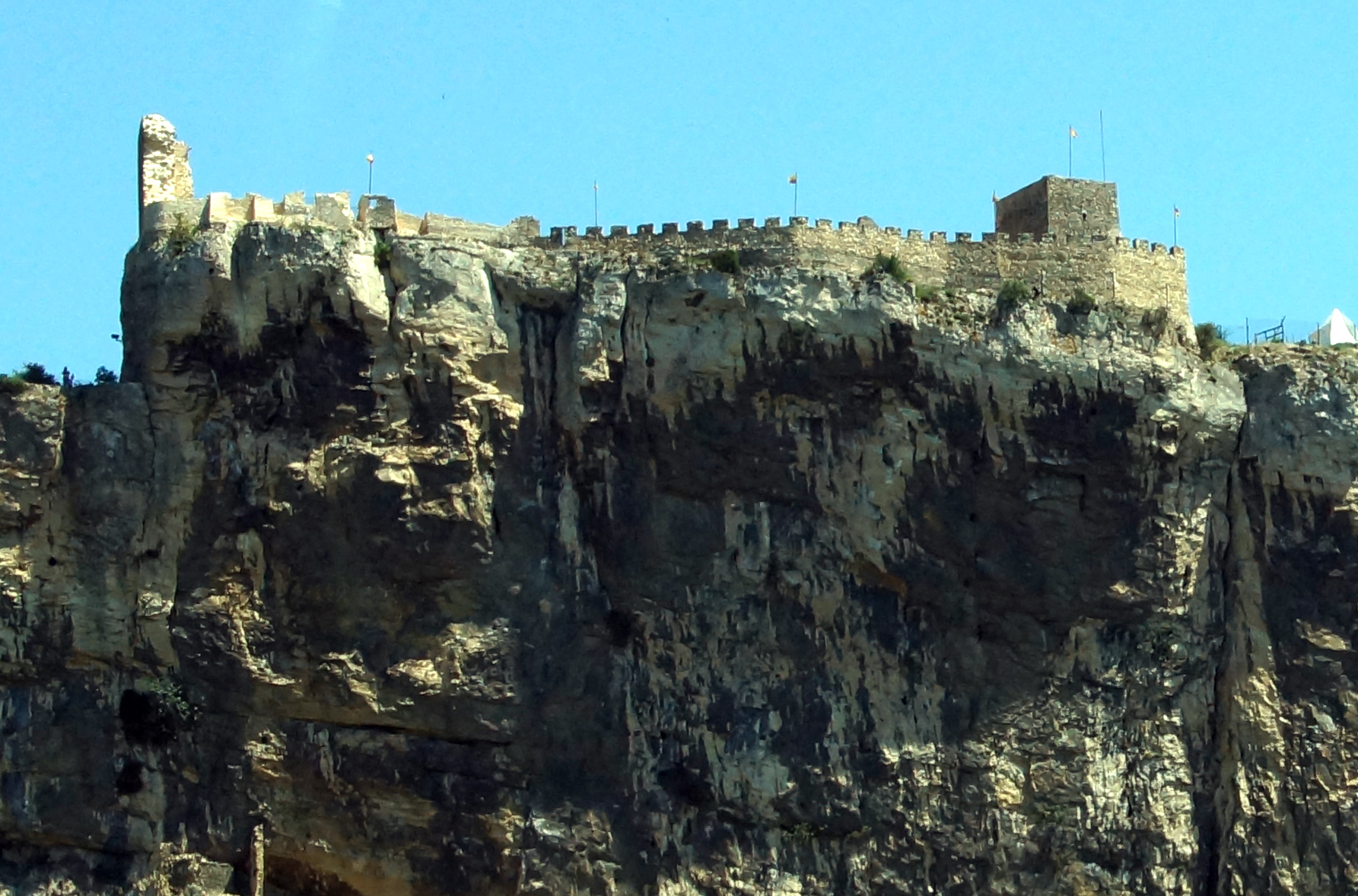
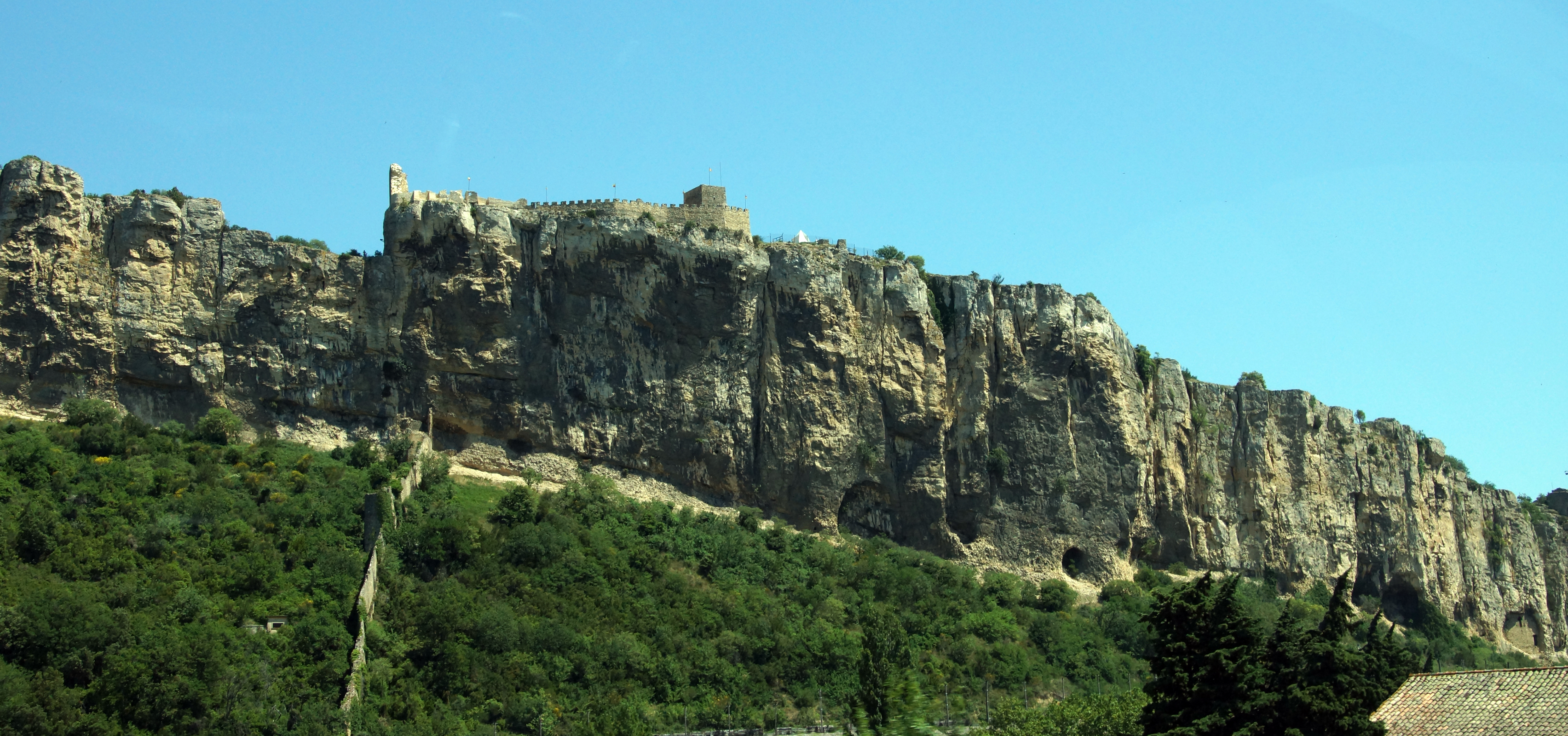
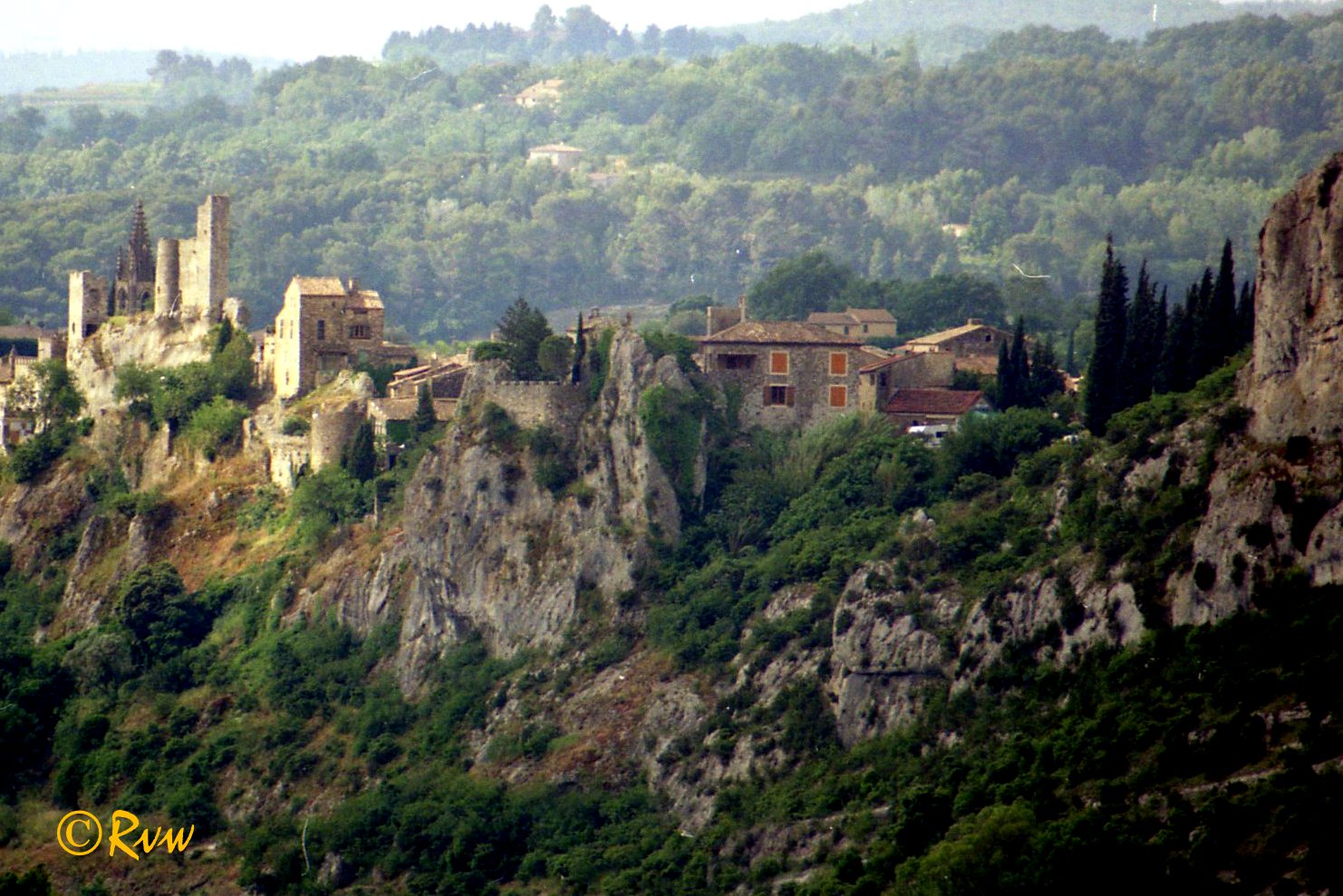
FORTERESSE DE MORNAS (VAUCLUSE)

Ardeche, Grotte de la Madeleine, France 2011
FORTERESSE DE MORNAS (VAUCLUSE)
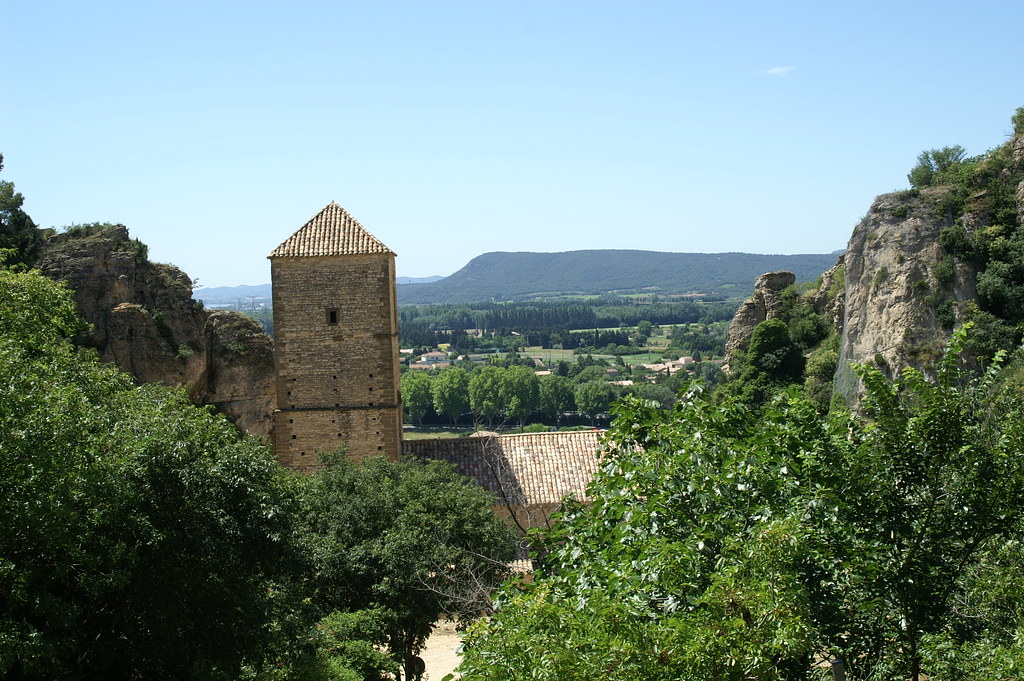
Mornas (Vaucluse) Chapelle fortifiée Saint Georges
Suz-la-Rousse

Sunshine [Explored]

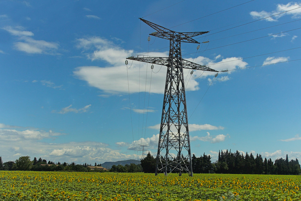
Le champ de tournesols
N7 - Bollène (France)
Aiguèze-20130605-ardeche-6
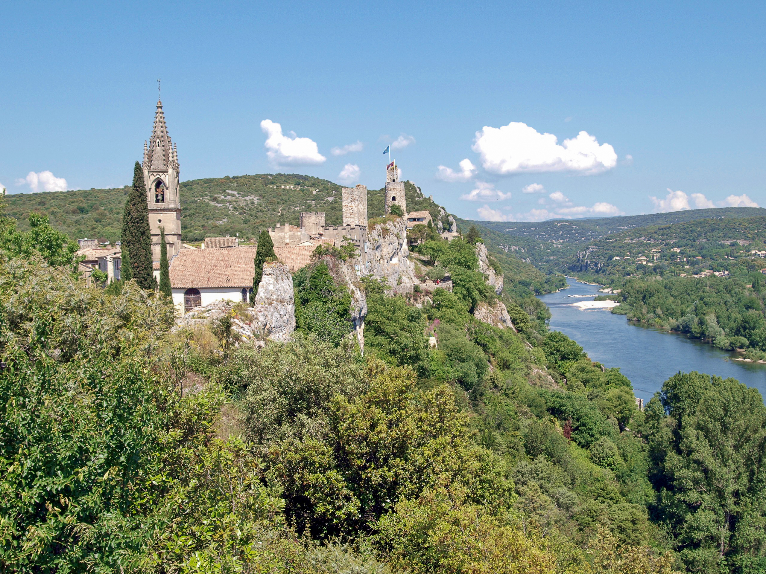
Aiguèze - Ardèche
Aiguèze - Ardèche - 20130605
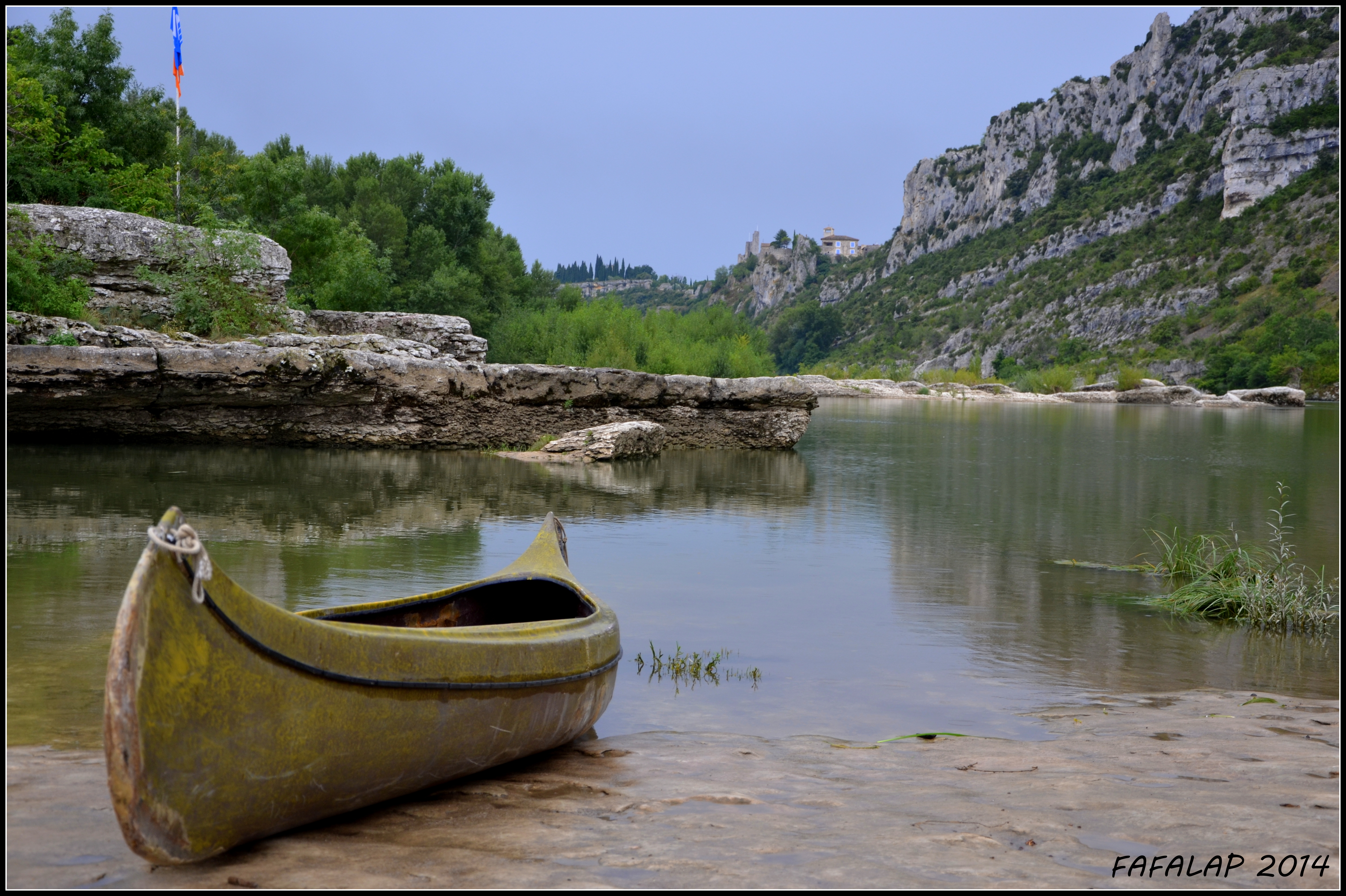
Vieux canoë au bord de l'Ardèche
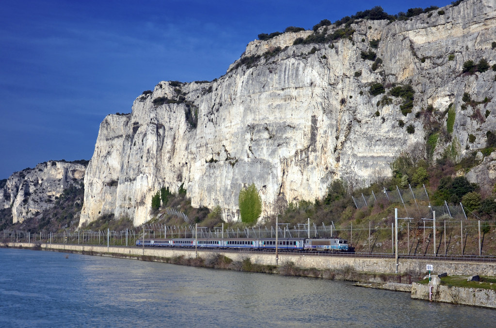
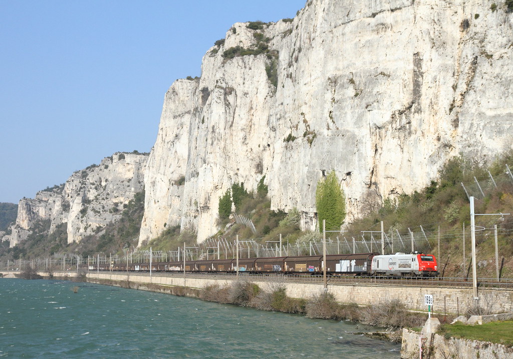
SNCF 26180, Viviers 15.10.2014
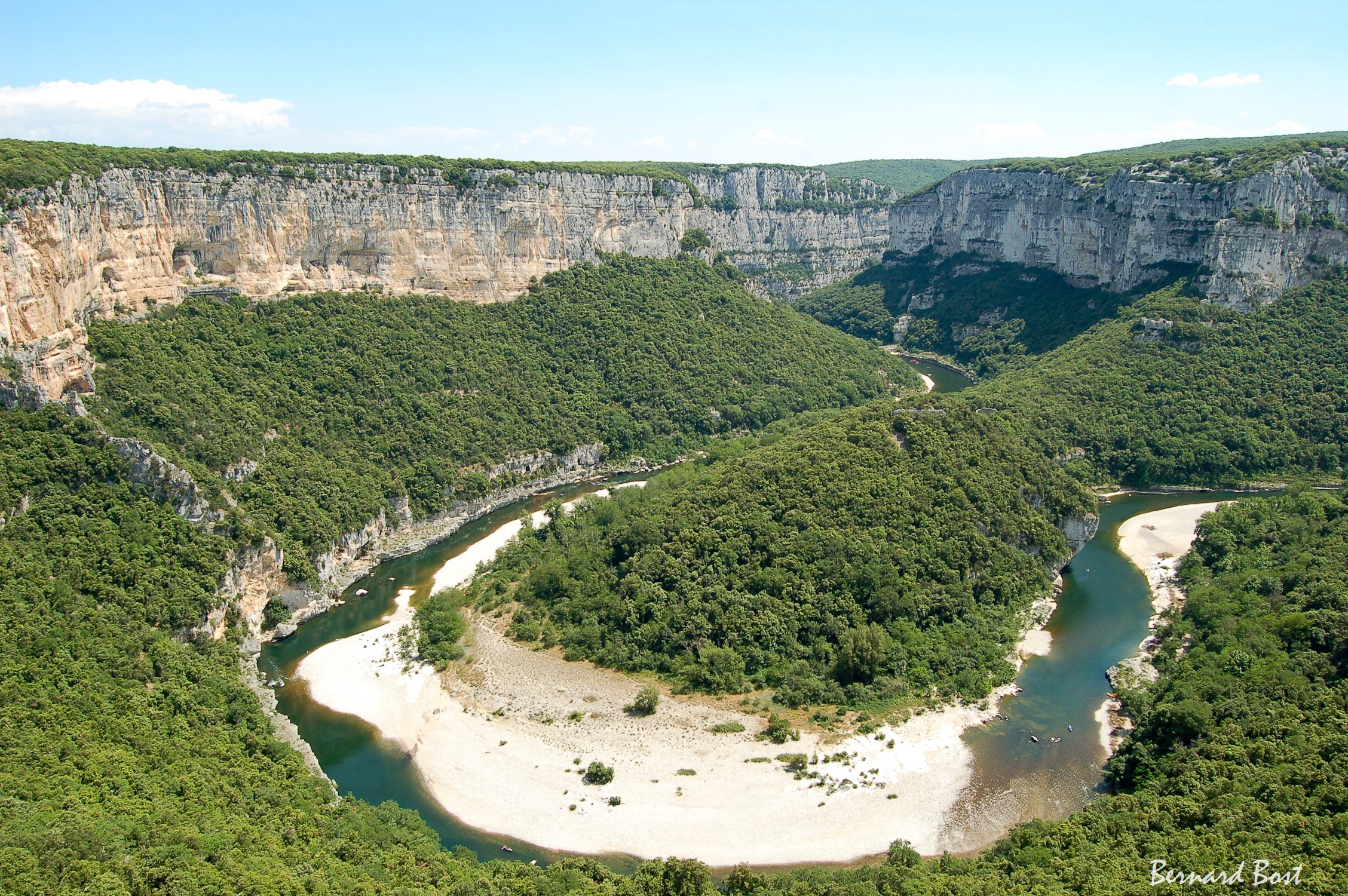
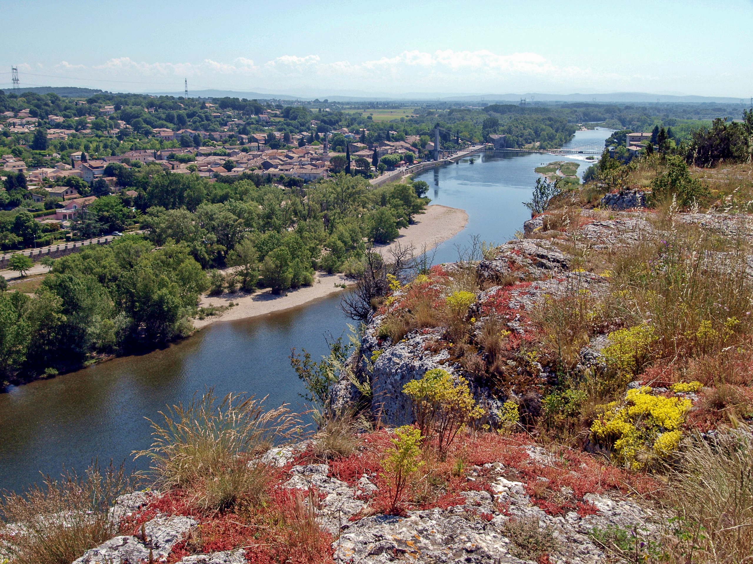
Le Cirque de la Madeleine
Journée d'orage
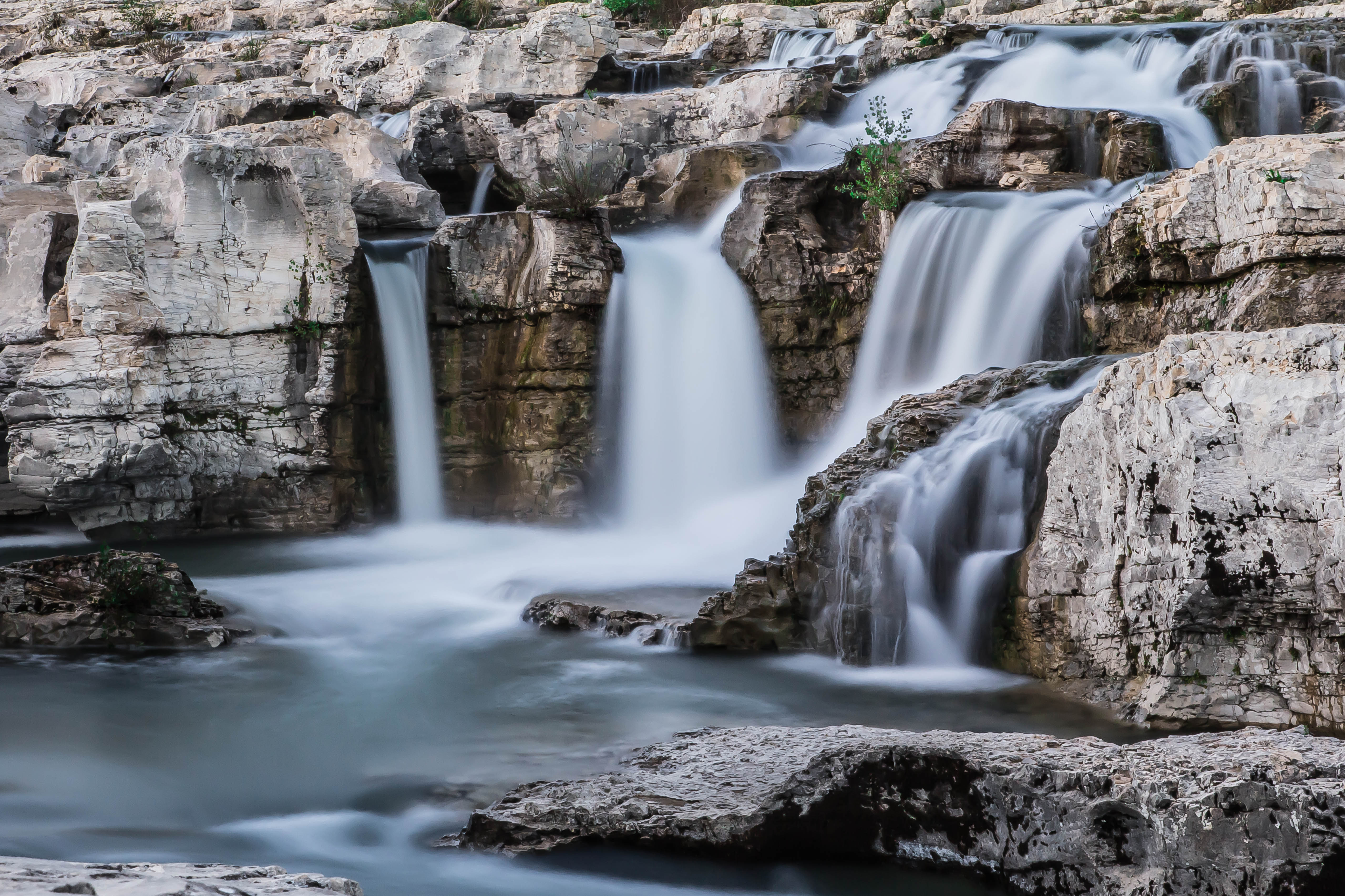
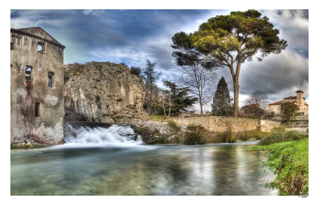
Cascade en Vaucluse
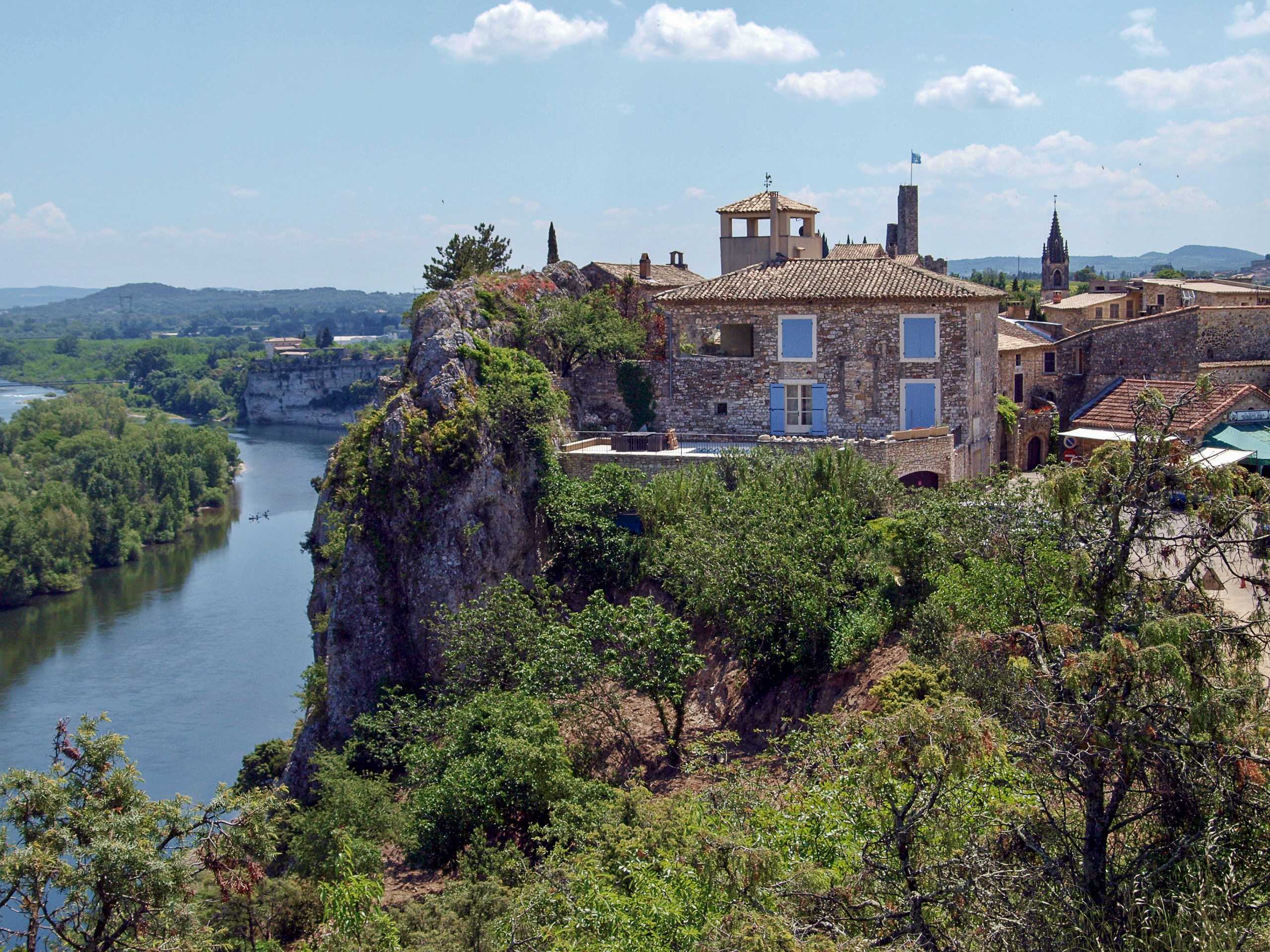
Aiguèze (Gard)
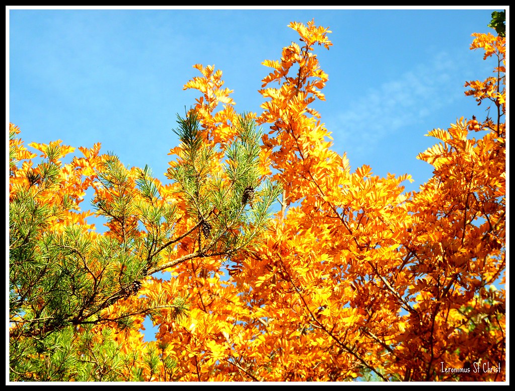
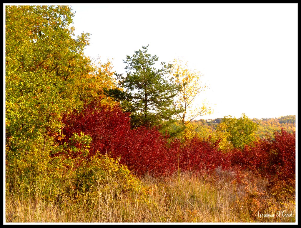
Feuillage d'automne

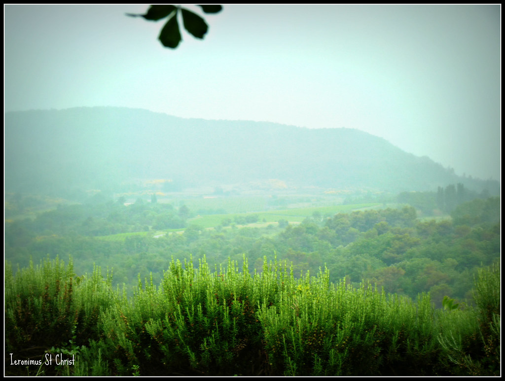
Le printemps
TER 17721 @ Donzère
37505 Europorte dans le défilé de donzère
Buisson rougeoyant
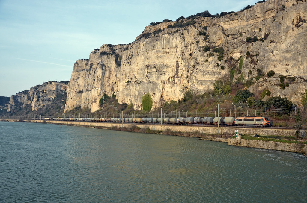
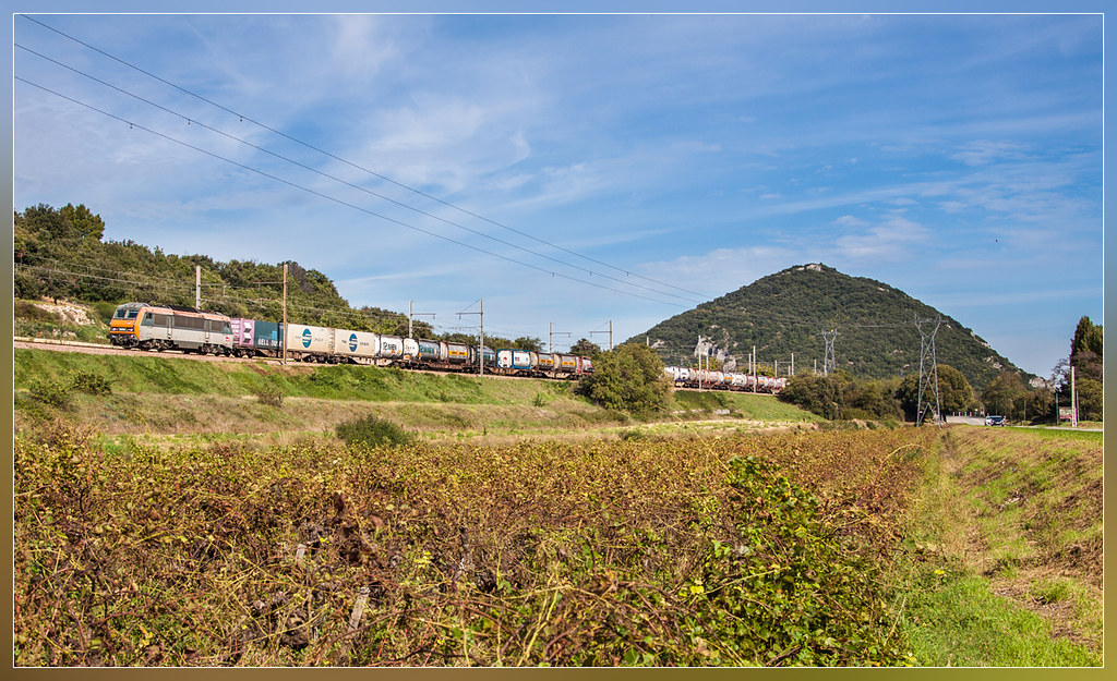
Southbound freight @ Donzère
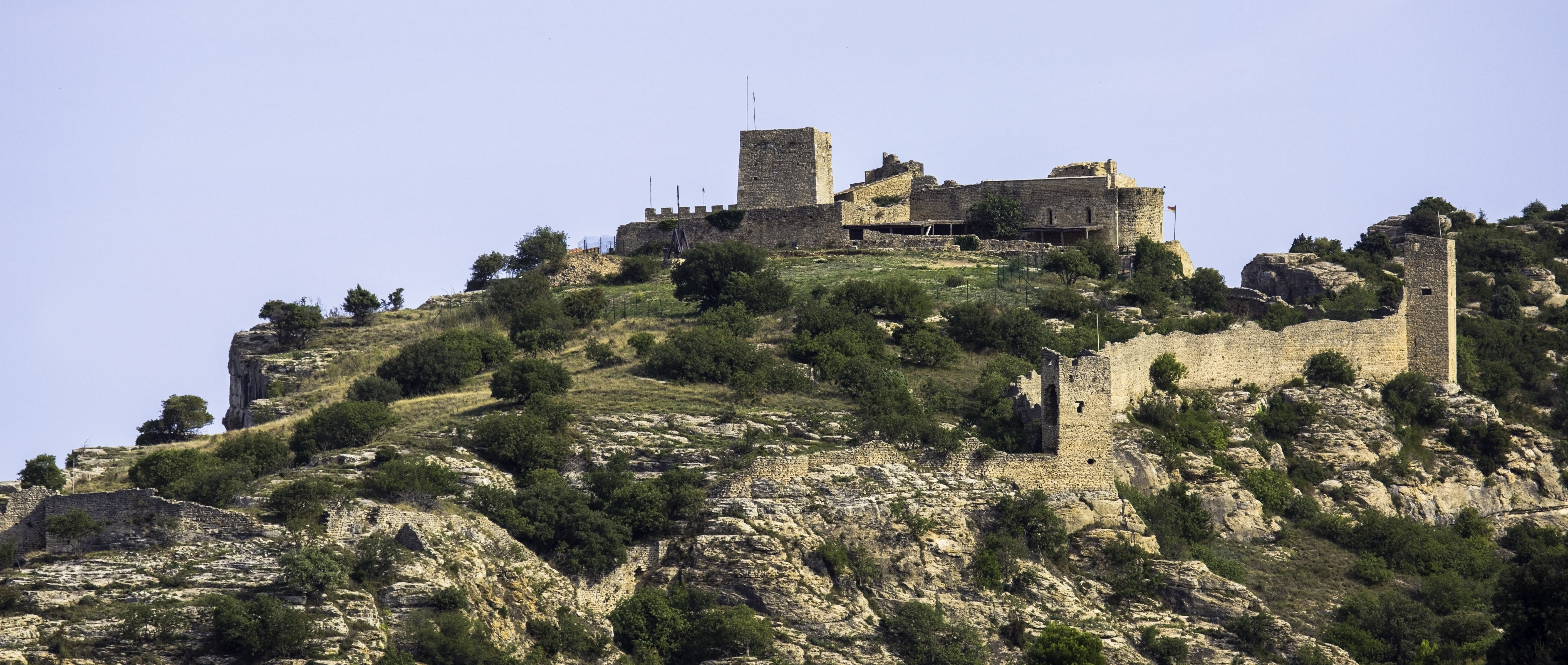
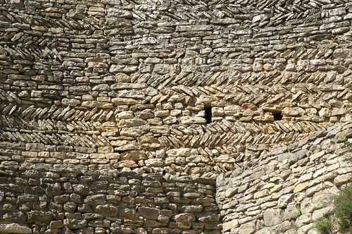
Forteresse de Mornas
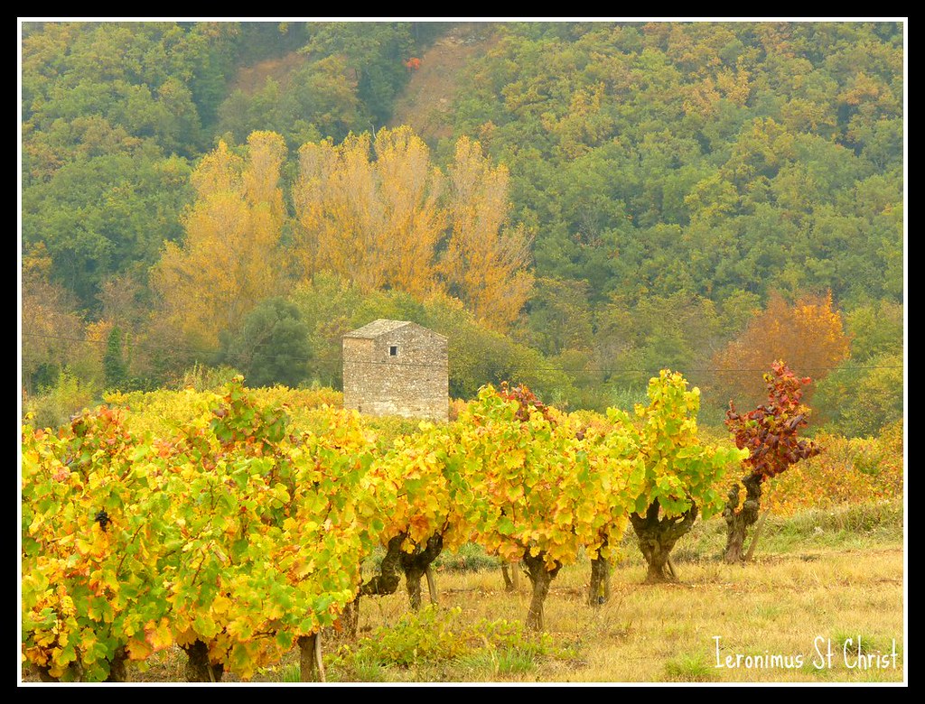
Cabanon dans les vignes

Paysage de Clansayes
Topographic Map of Chemin des Fremigières, Lapalud, France
Find elevation by address:

Places near Chemin des Fremigières, Lapalud, France:
6 Avenue de Montélimar, Lapalud, France
Lapalud
Route de Saint-Paul, Lapalud, France
Bourg-saint-andéol
42 Rue Olivier de Serre, Bourg-Saint-Andéol, France
Pont-saint-esprit
Saint-paulet-de-caisson
Saint-alexandre
58 Rue du Lavoir, Saint-Alexandre, France
5 Place du Donjon, Saint-Julien-de-Peyrolas, France
Saint-julien-de-peyrolas
Chemin de Valerian, Saint-Paulet-de-Caisson, France
Uchaux
1 Rue des Maronniers, Piolenc, France
Piolenc
90 Rue Étroite, Uchaux, France
Allan
Laudun-l'ardoise
31 Lotissement Verte Colline
Sérignan-du-comtat
Recent Searches:
- Elevation of Leguwa, Nepal
- Elevation of County Rd, Enterprise, AL, USA
- Elevation of Kolchuginsky District, Vladimir Oblast, Russia
- Elevation of Shustino, Vladimir Oblast, Russia
- Elevation of Lampiasi St, Sarasota, FL, USA
- Elevation of Elwyn Dr, Roanoke Rapids, NC, USA
- Elevation of Congressional Dr, Stevensville, MD, USA
- Elevation of Bellview Rd, McLean, VA, USA
- Elevation of Stage Island Rd, Chatham, MA, USA
- Elevation of Shibuya Scramble Crossing, 21 Udagawacho, Shibuya City, Tokyo -, Japan