Elevation of Chemin de Villebois, Alma, QC G8B 5V2, Canada
Location: Canada > Québec > Lac-saint-jean-est Regional County Municipality > Alma >
Longitude: -71.616013
Latitude: 48.535036
Elevation: 85m / 279feet
Barometric Pressure: 100KPa
Elevation Map:
Satellite Map:
Related Photos:

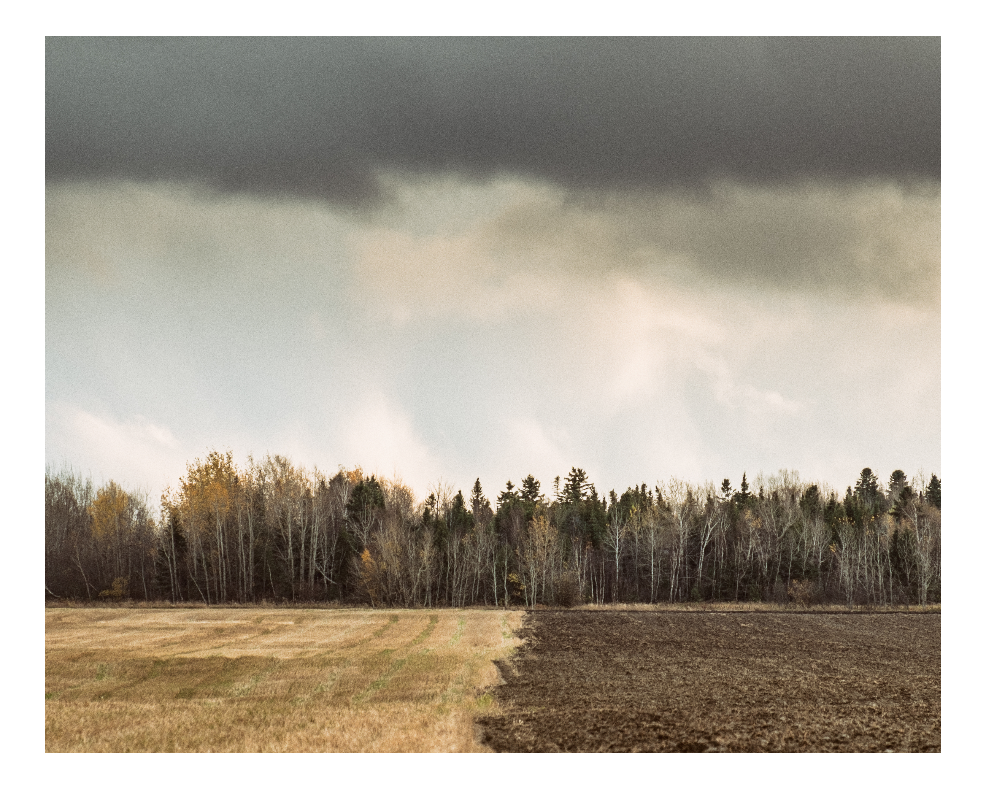
Alma
saint-bruno
saint-bruno

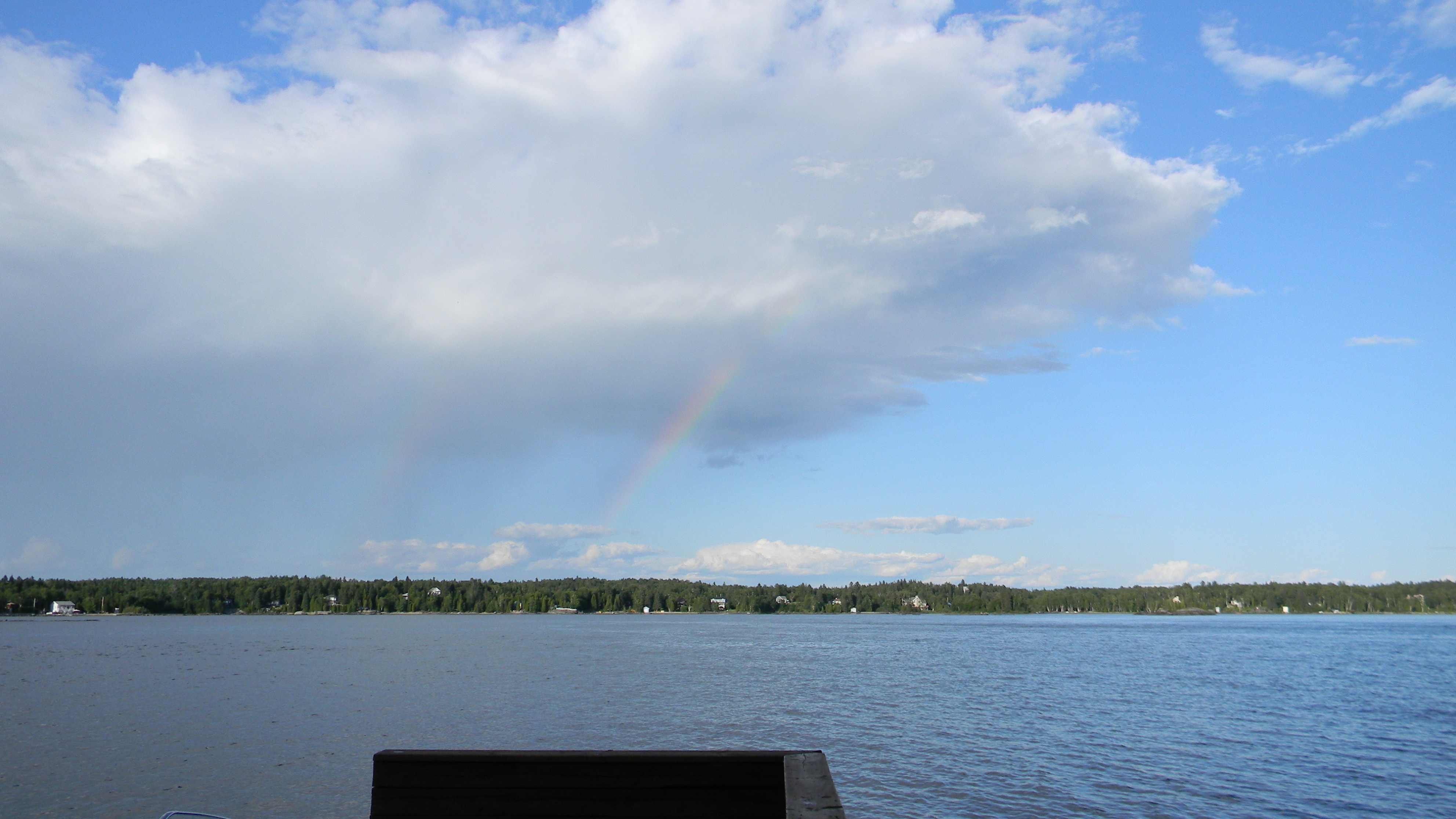
Lac St-Jean Sunset

blue skies silo

saint-bruno
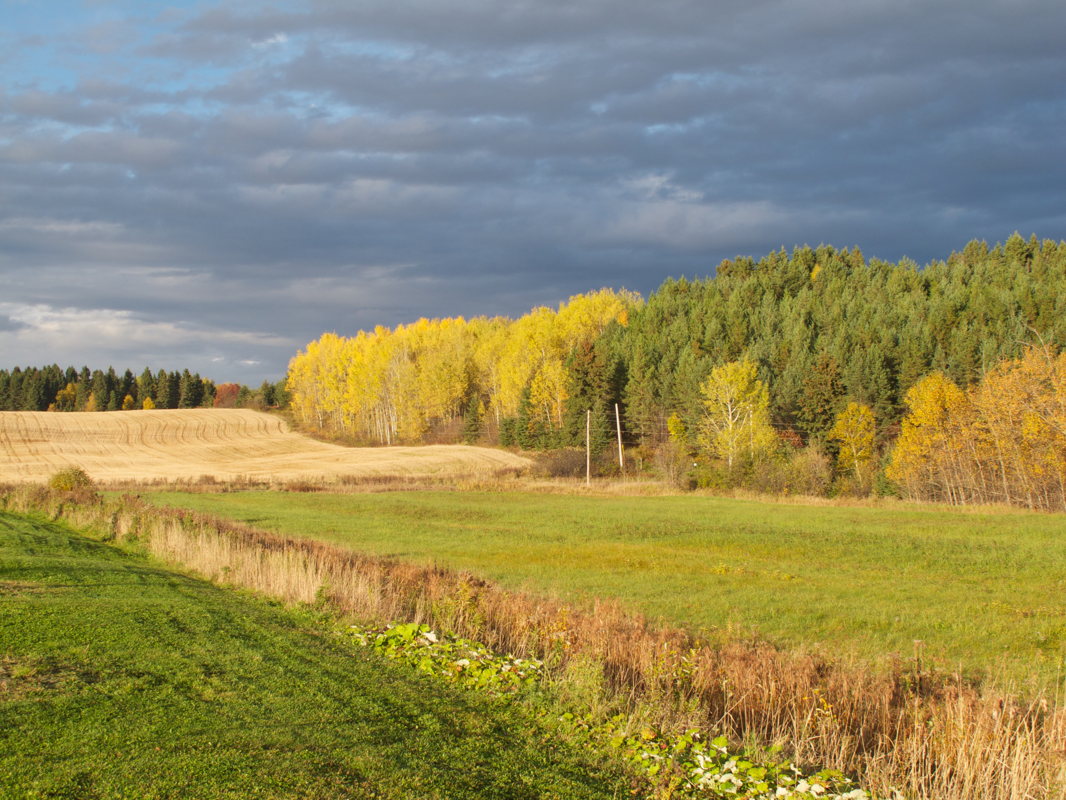
QUEBEC 2014 174
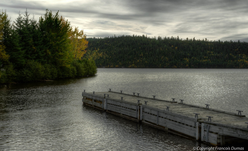
The Pier
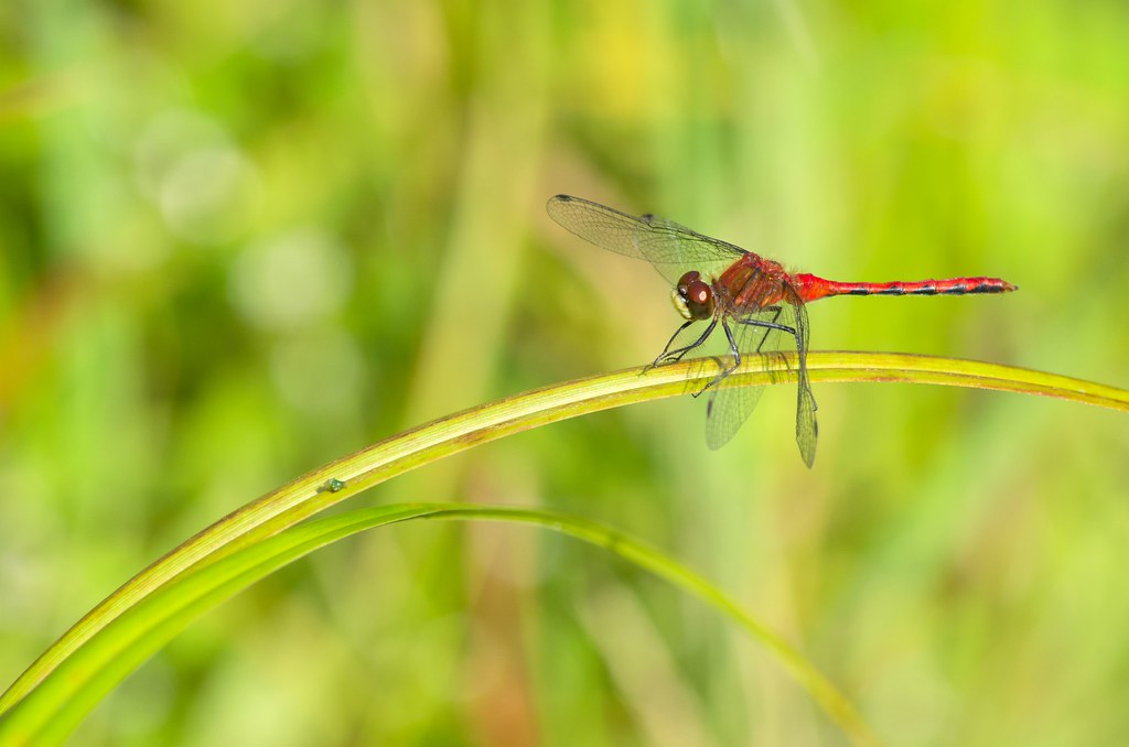
leucorrhinia hudsonica
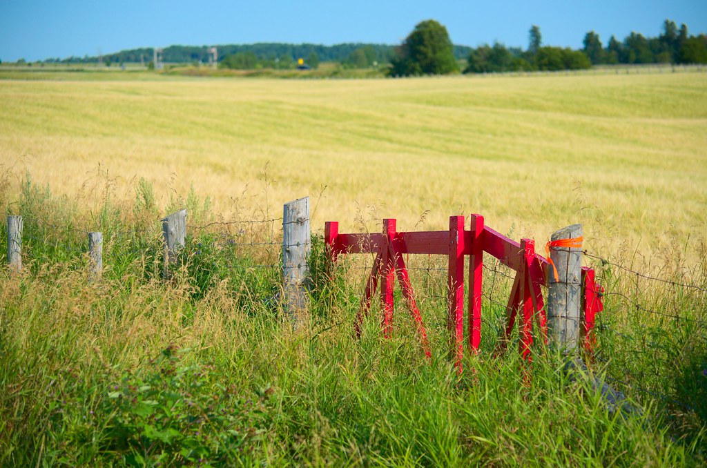
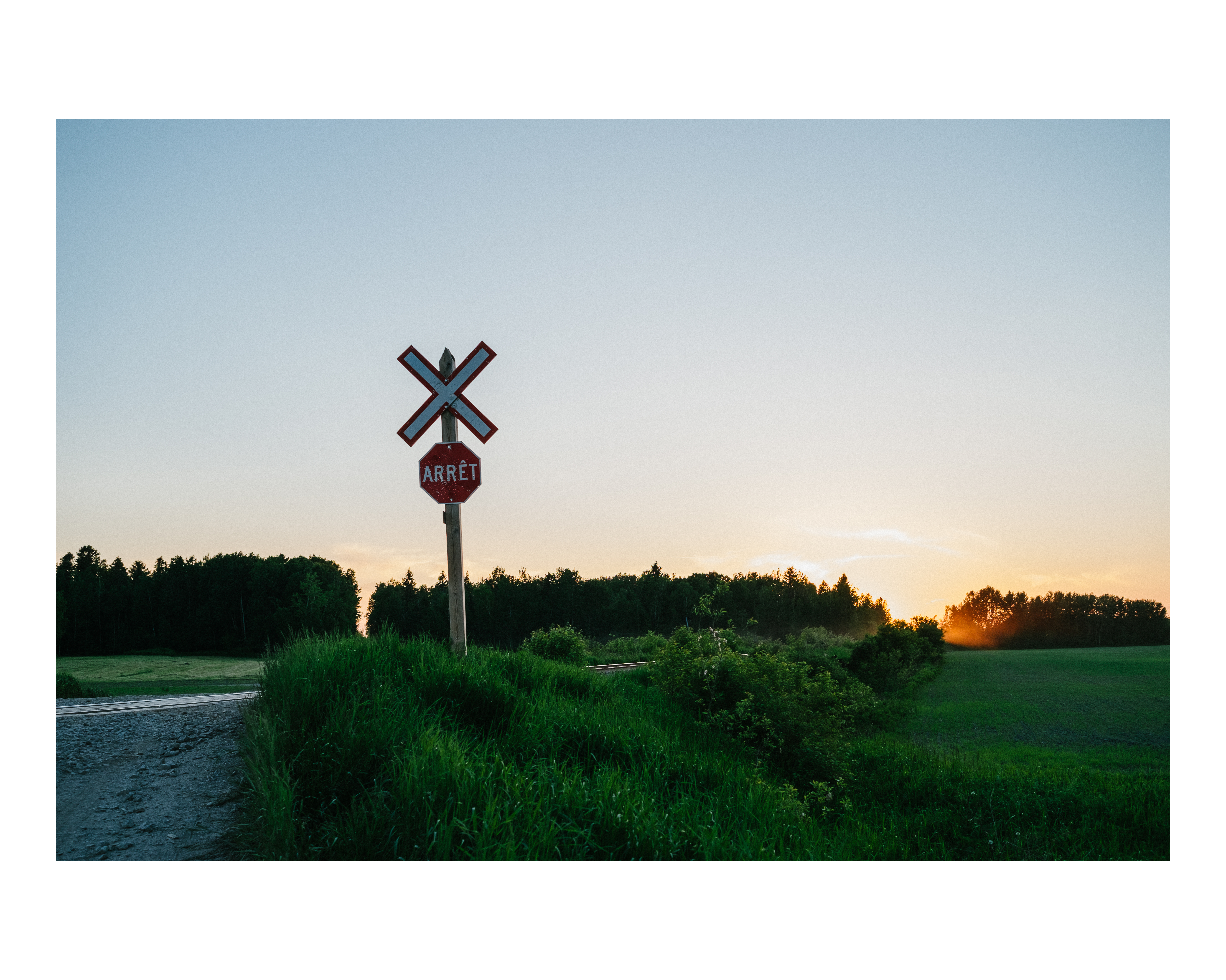
La barrière rouge
saint-bruno
8 de marzo.
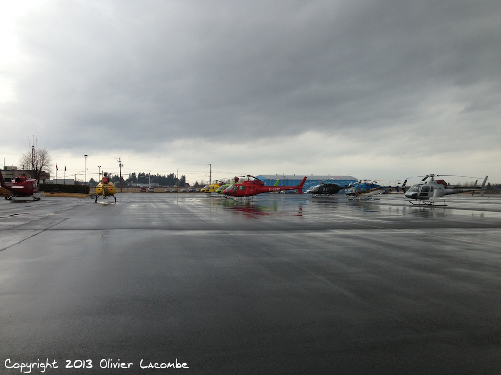
Aéroport d'Alma
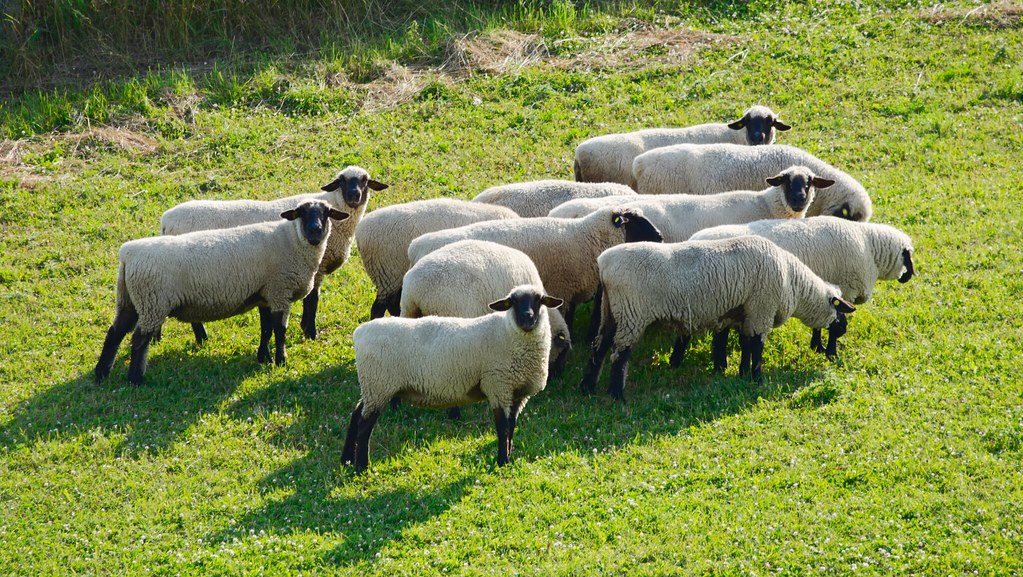
Moutons suspicieux - suspicious sheep.

water and ice?

002.LacStJean.jpg
Yourte 13 juillet 094
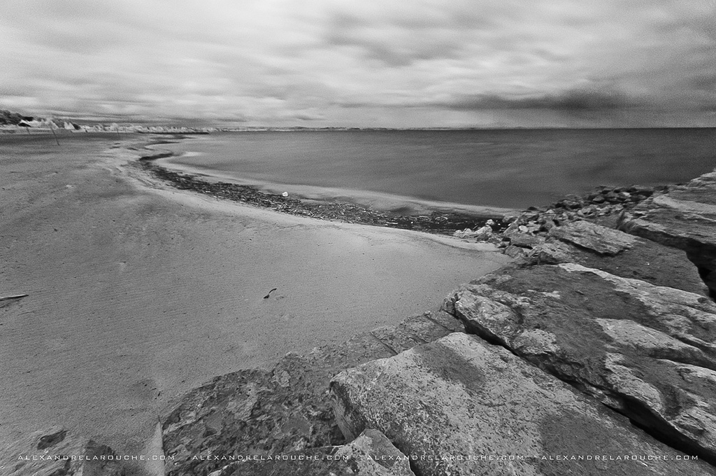
Plage de Saint-Gédéon HDR 9342
Topographic Map of Chemin de Villebois, Alma, QC G8B 5V2, Canada
Find elevation by address:

Places near Chemin de Villebois, Alma, QC G8B 5V2, Canada:
Boulevard Auger S, Alma, QC G8B 5V2, Canada
101 Rue Price E
Alma
Hébertville-station
Rue Saint Wilbrod, Hébertville-Station, QC G0W 1T0, Canada
Rue des Huarts, Alma, QC G8E 1G9, Canada
Larouche
Rue Richer, Larouche, QC G0W 1Z0, Canada
Larouche
450 Route Des Fondateurs
Boulevard du Royaume, Larouche, QC G0W 1Z0, Canada
Lac-kénogami
104 Rue Villeneuve
Rue de la Jetée, Saint-Charles-de-Bourget, QC G0V 1G0, Canada
Bégin
Chemin de la Rivière aux Sables, Lac-Kénogami, QC G7X 7V6, Canada
Rue Saint Dominique, Jonquière, QC G7X 6L4, Canada
Jonquière
G7s 5n4
Niobec - Bureau Des Relations Avec La Communauté
Recent Searches:
- Elevation of Power Generation Enterprises | Industrial Diesel Generators, Oak Ave, Canyon Country, CA, USA
- Elevation of Chesaw Rd, Oroville, WA, USA
- Elevation of N, Mt Pleasant, UT, USA
- Elevation of 6 Rue Jules Ferry, Beausoleil, France
- Elevation of Sattva Horizon, 4JC6+G9P, Vinayak Nagar, Kattigenahalli, Bengaluru, Karnataka, India
- Elevation of Great Brook Sports, Gold Star Hwy, Groton, CT, USA
- Elevation of 10 Mountain Laurels Dr, Nashua, NH, USA
- Elevation of 16 Gilboa Ln, Nashua, NH, USA
- Elevation of Laurel Rd, Townsend, TN, USA
- Elevation of 3 Nestling Wood Dr, Long Valley, NJ, USA