Elevation of Chemin de l'Île d'Embarras, Sainte-Anne-de-Sorel, QC J0G, Canada
Location: Canada > Québec > Le Bas-richelieu > Sainte-anne-de-sorel >
Longitude: -72.956454
Latitude: 46.086376
Elevation: 3m / 10feet
Barometric Pressure: 101KPa
Elevation Map:
Satellite Map:
Related Photos:
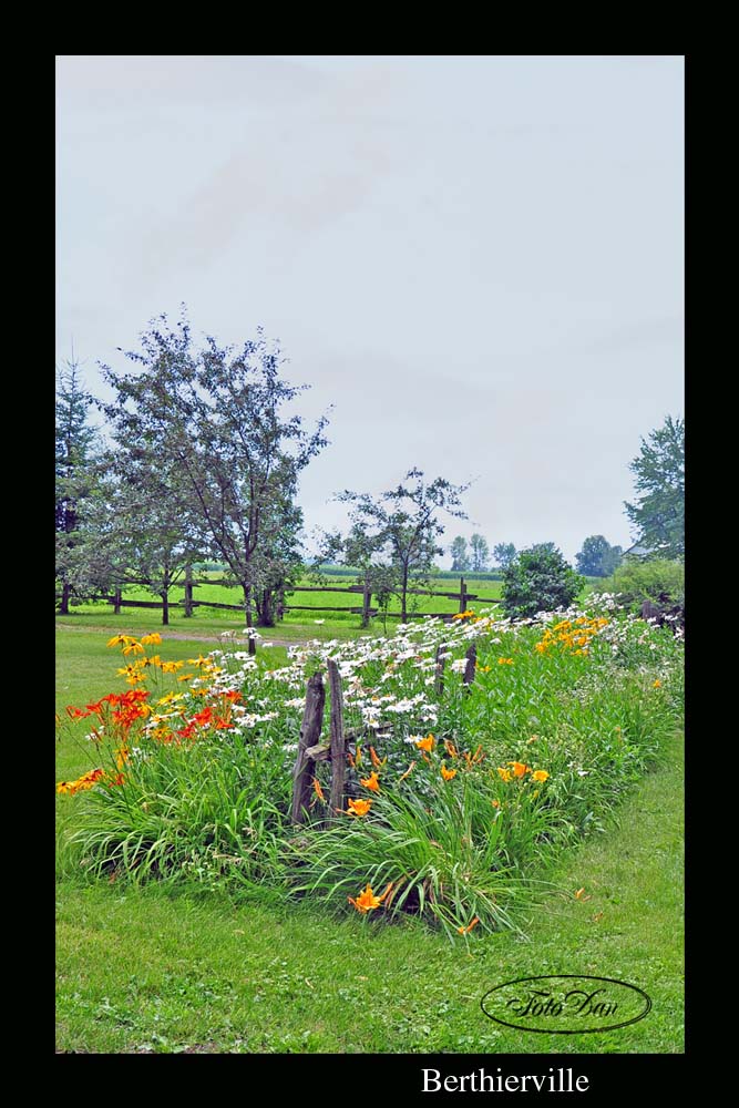
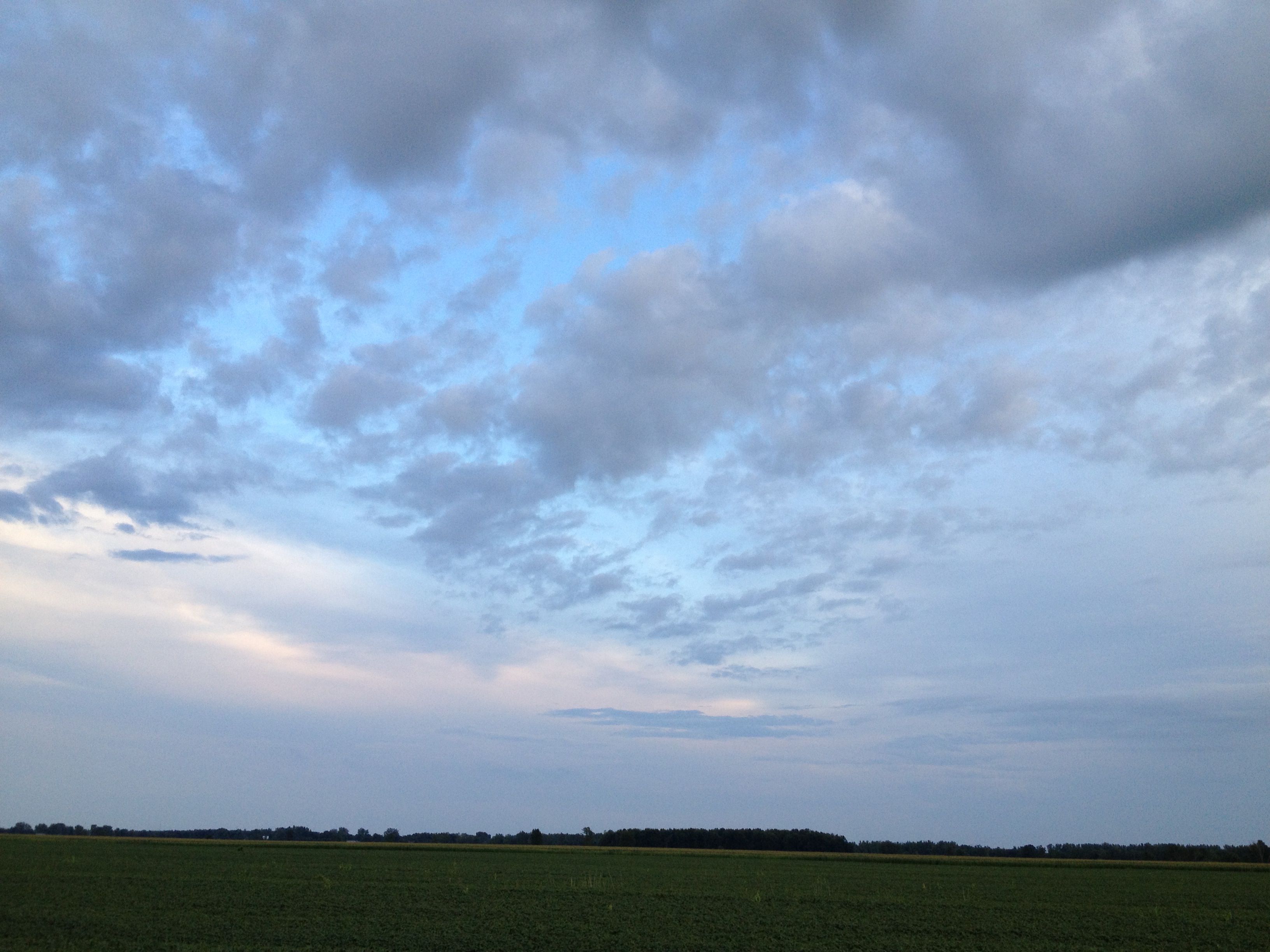
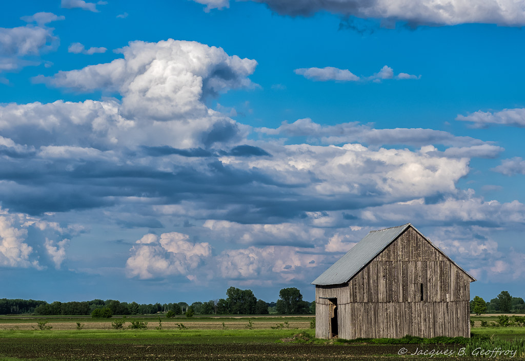
Campagne / Countryside
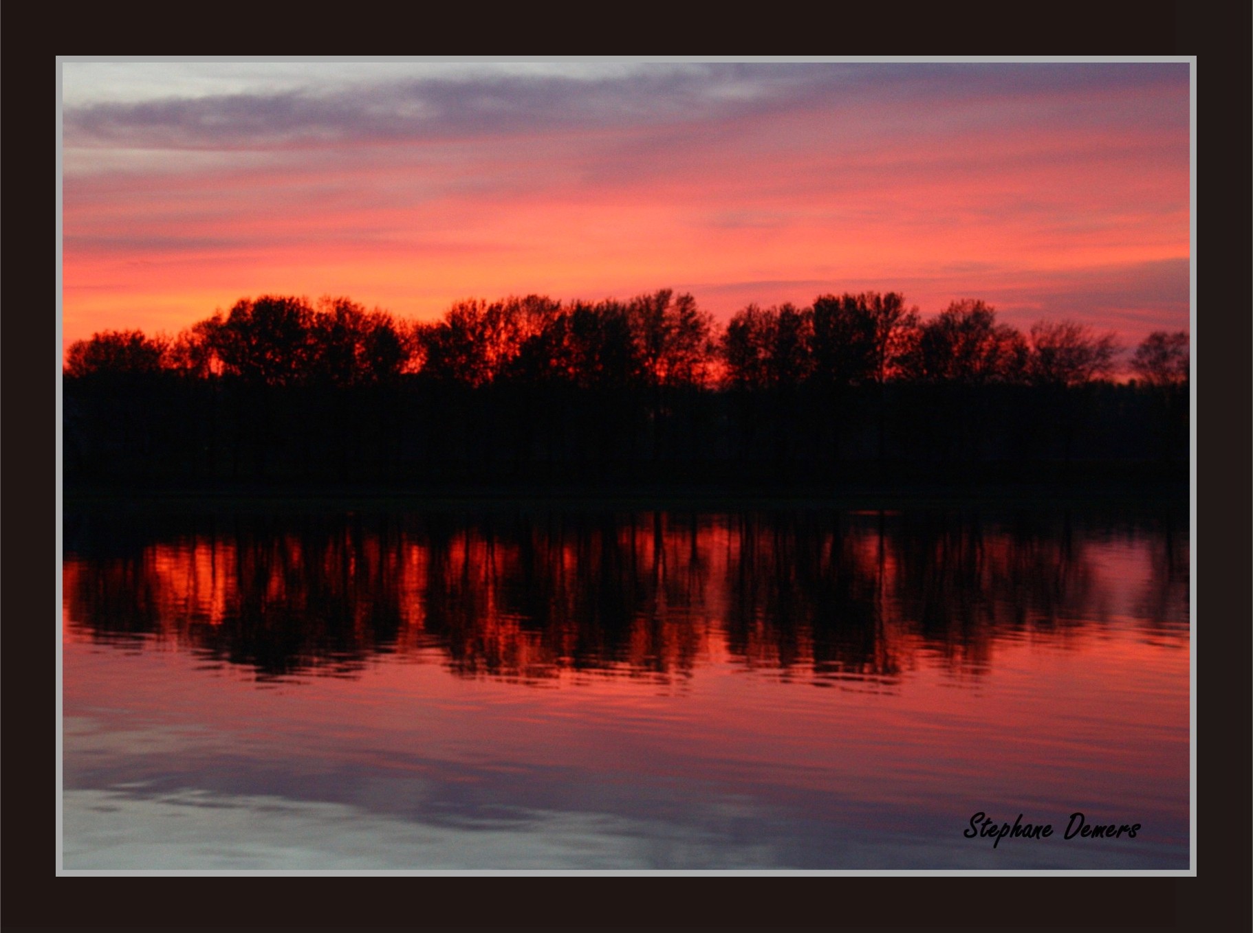
Ho hum... another sunset
Marie UnderWater with the stars

Couleuvre rayée / Common Garter Snake / Thamnophis sirtalis
Under the bridge downtown
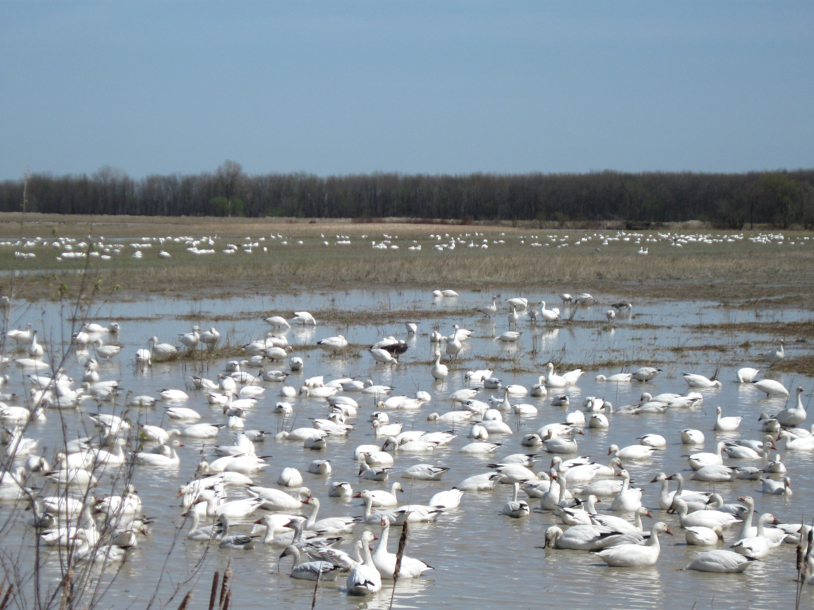
Des oies blanches à perte de vue./Geese to loss of views.
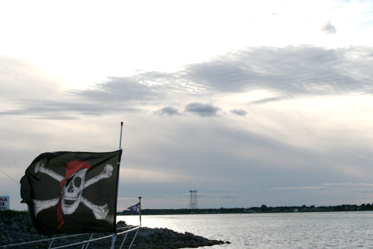
Pirates on St-Lawrence River
GUEJ_2013-05-27_08-52-35.jpg

2005_marguerite_mauve_01 copy
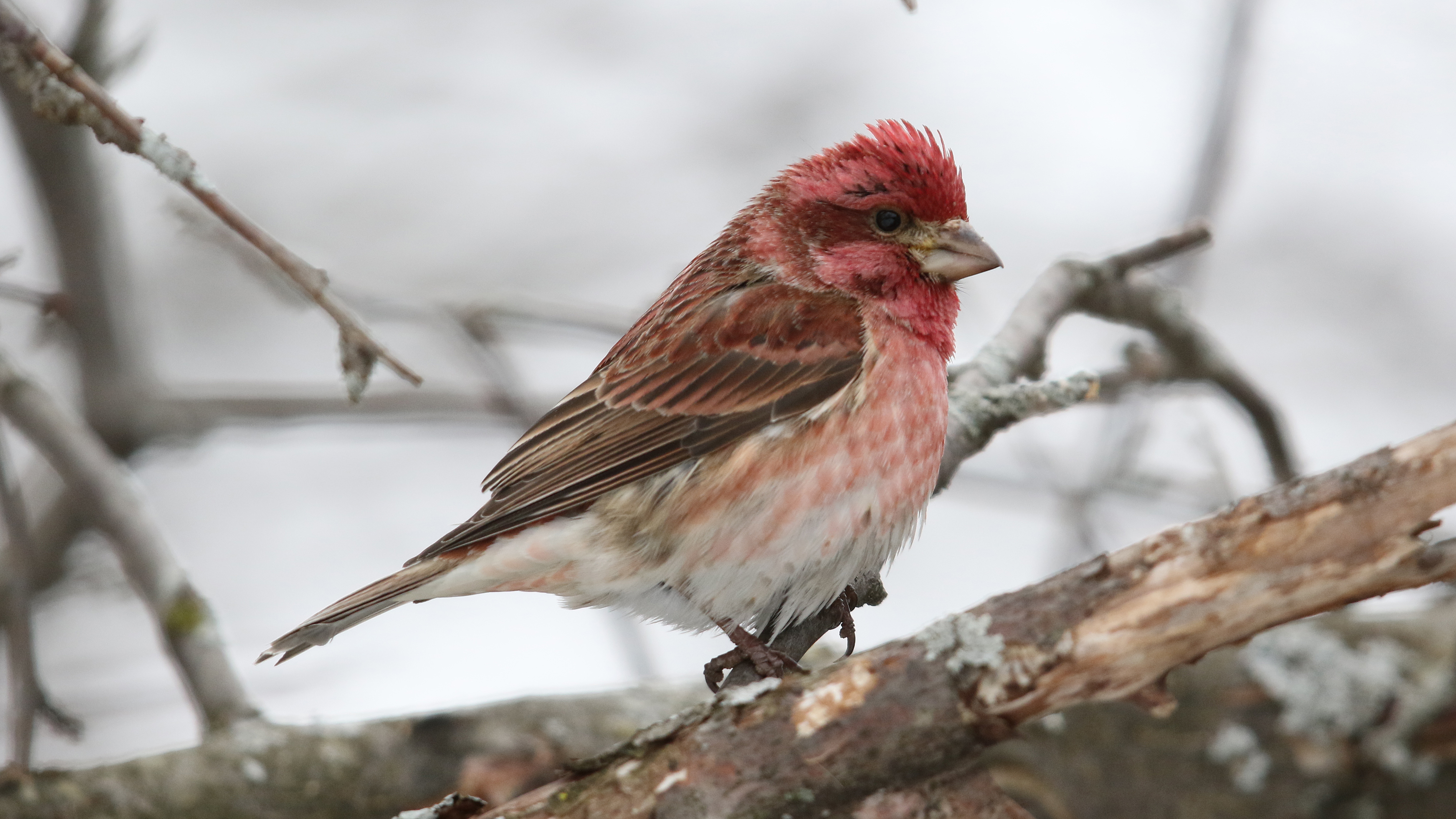
Roselin pourpré_2A5A4479

Emplacement du nid du Canard chipeau
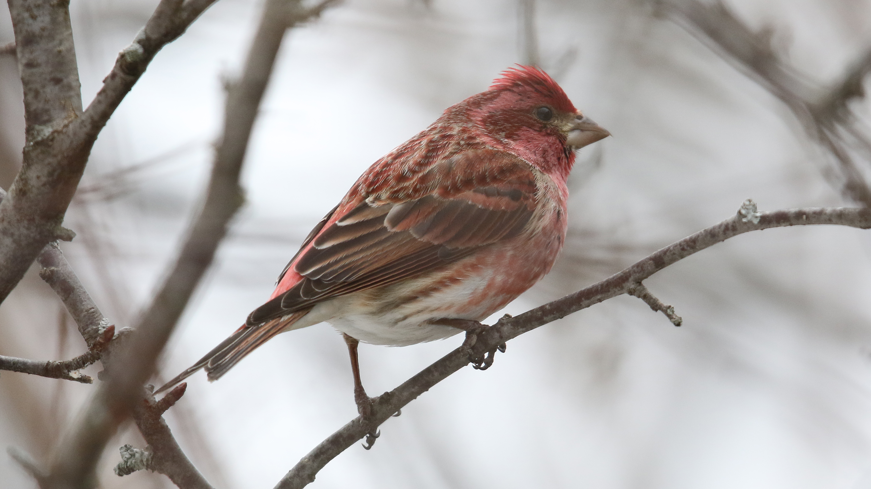
Roselin pourpré_2A5A4467

Grèbe esclavon_IMG_2724
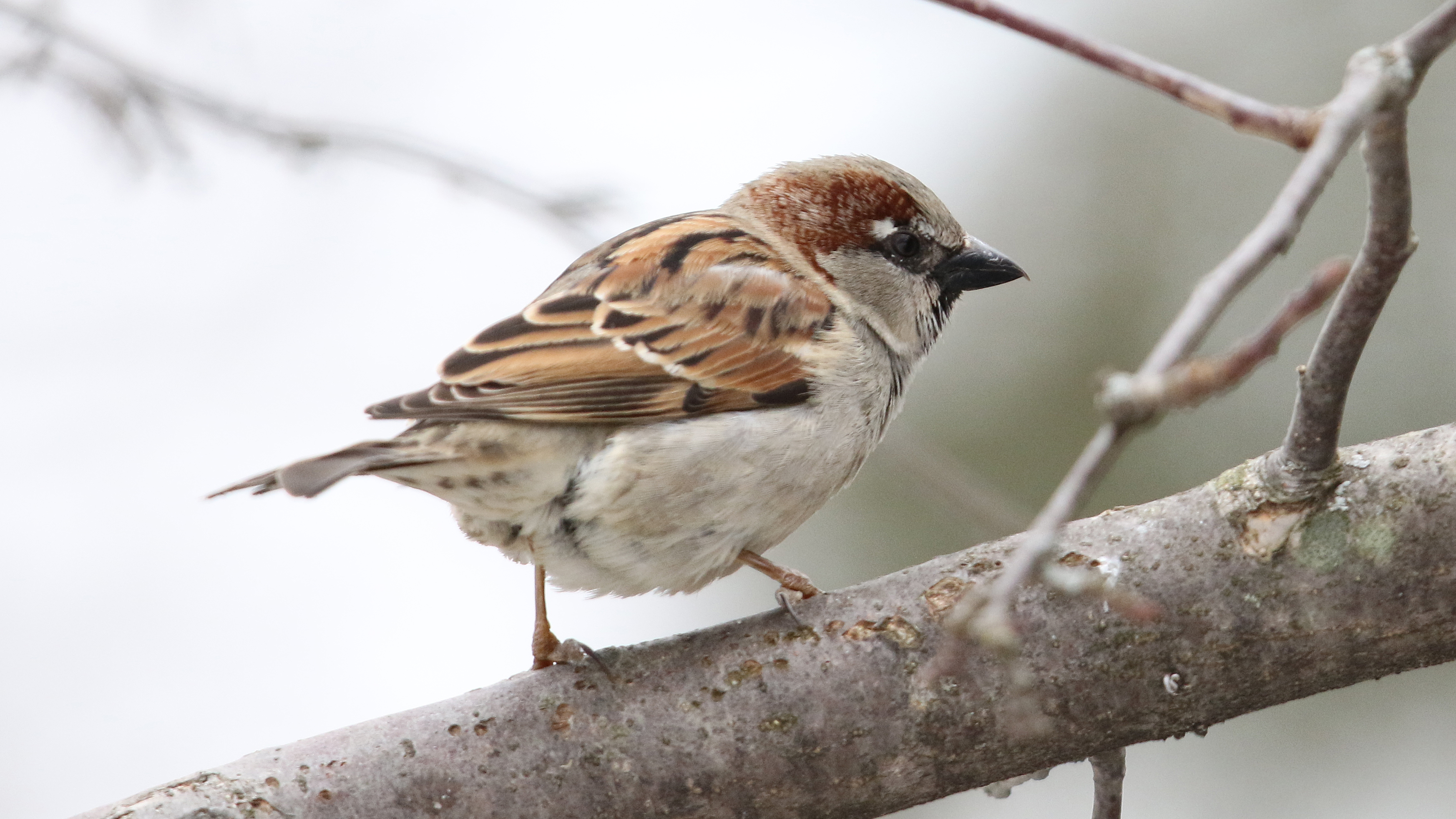
Moineau domestique_M_2A5A4460
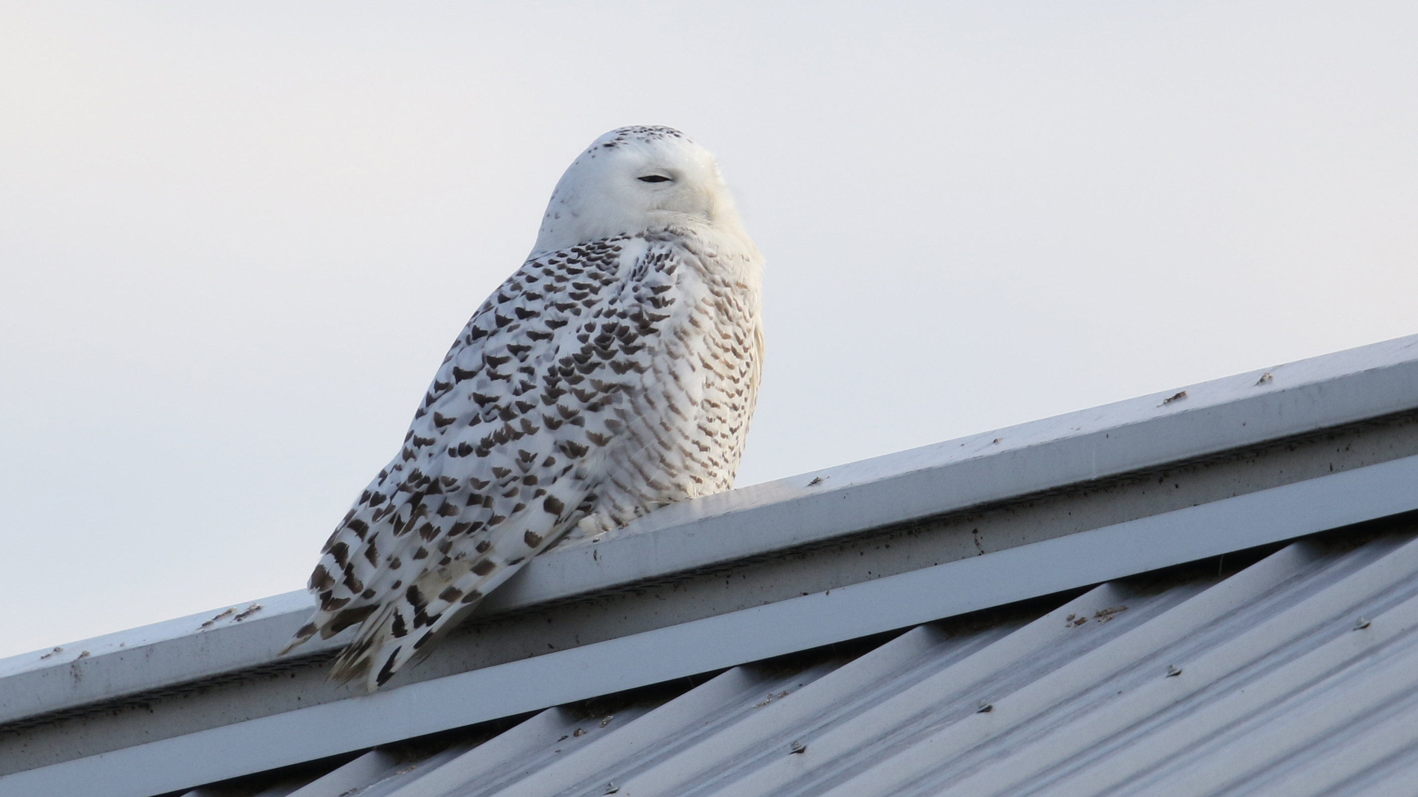
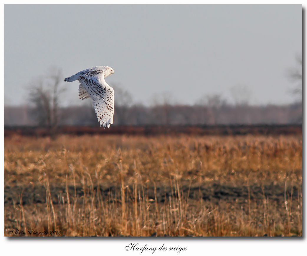
Harfang des neiges_2A5A1806_01

Pic mineur_2A5A0394

Harfang des neiges_2A5A1448_01
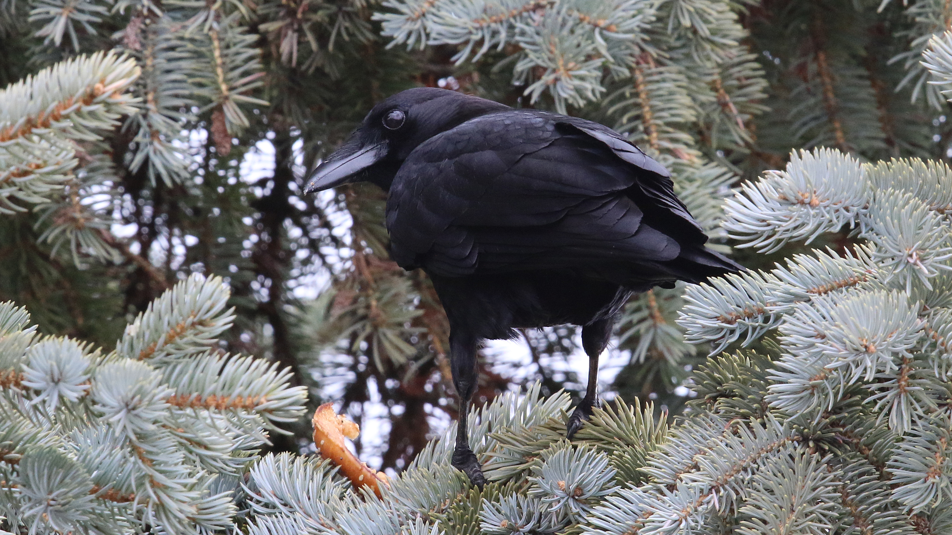
Corneille d'Amérique_2A5A5256

Faucon pèlerin_2A5A5191

Jaseur boréal_2A5A0424
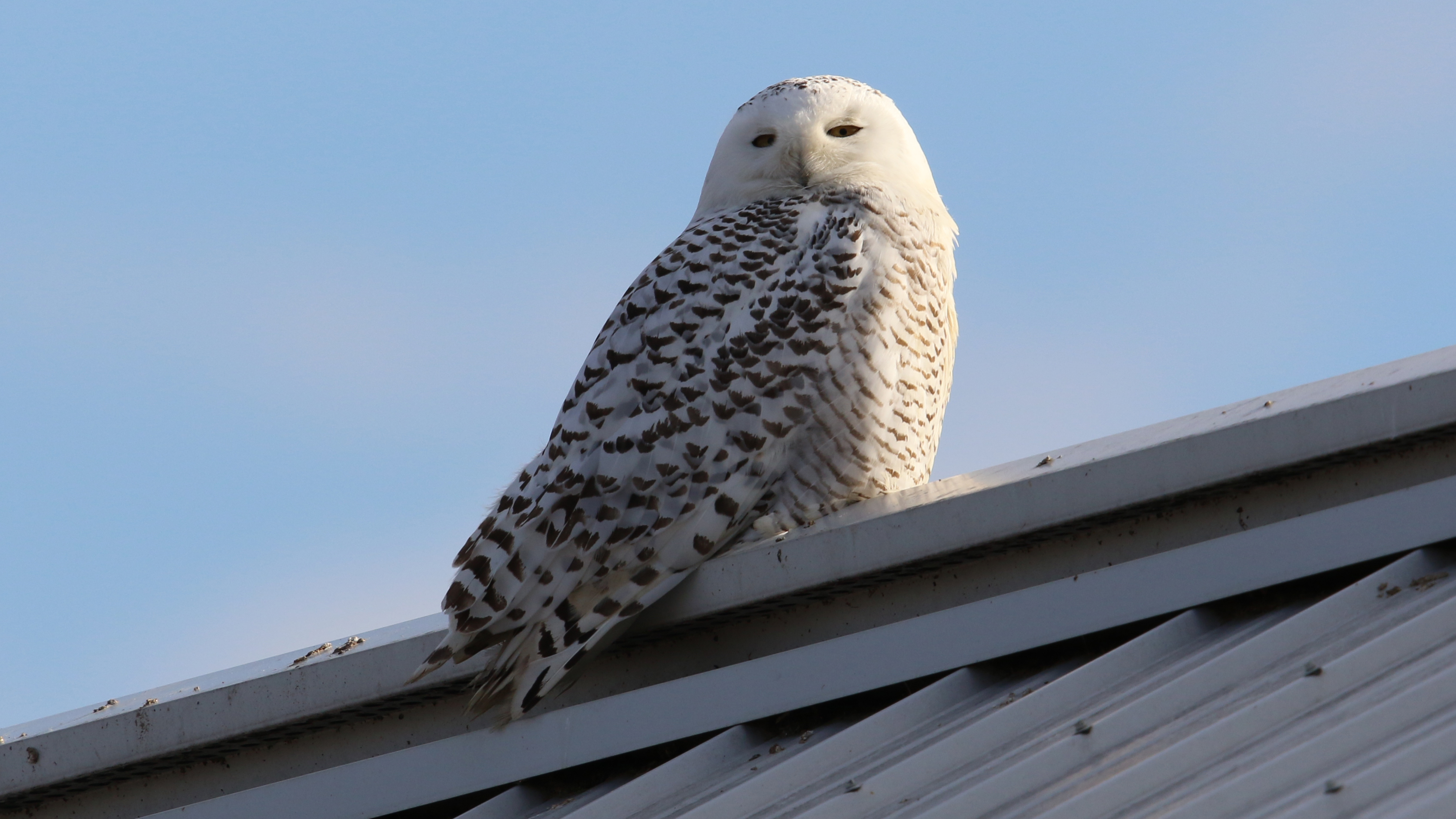
Harfang des neiges_2A5A1833_01

The phoenix sun
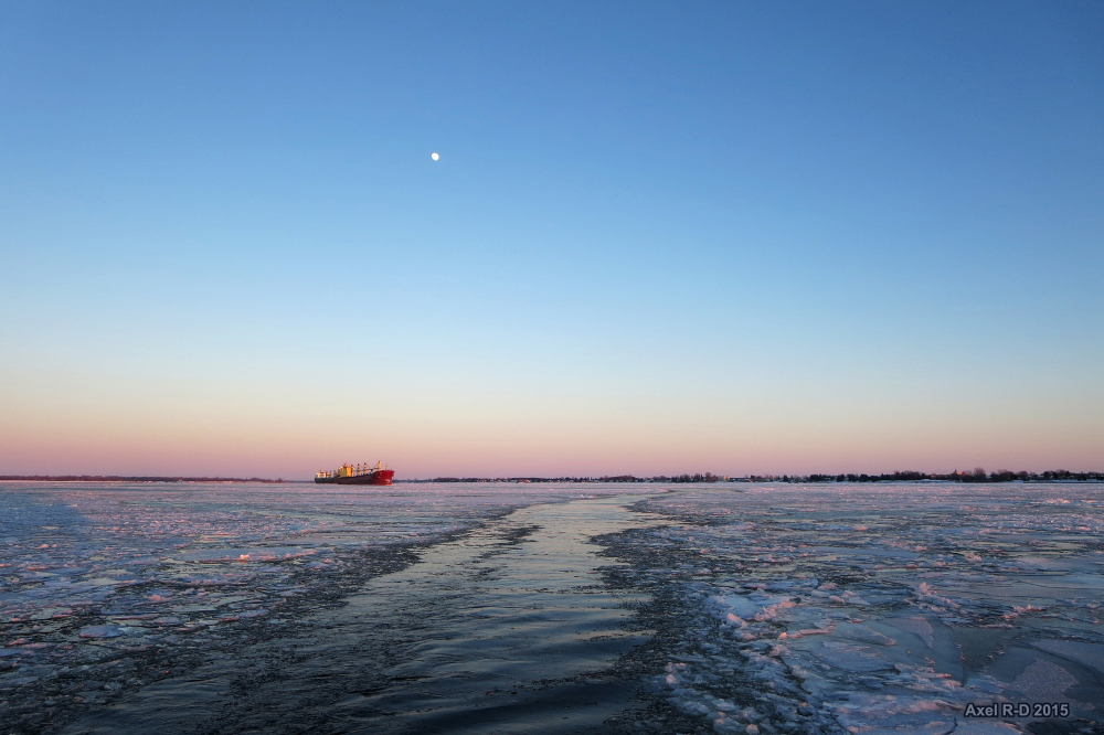
La traverse de Sorel

La traverse de Sorel
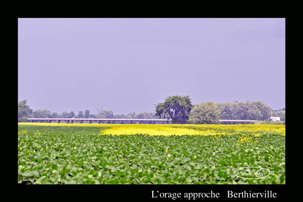
L'orage approche

Sept2008-0535
Berthierville Defi juin CP2010

Sept2008-0541
as goes the wind
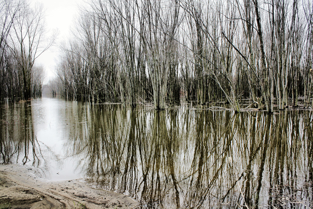
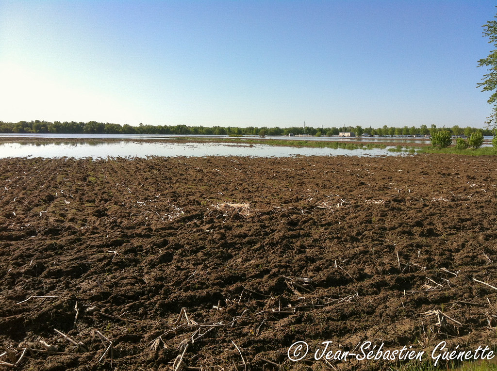
inondation...
Harfang des neiges / Snowy Owl IMG_3353b
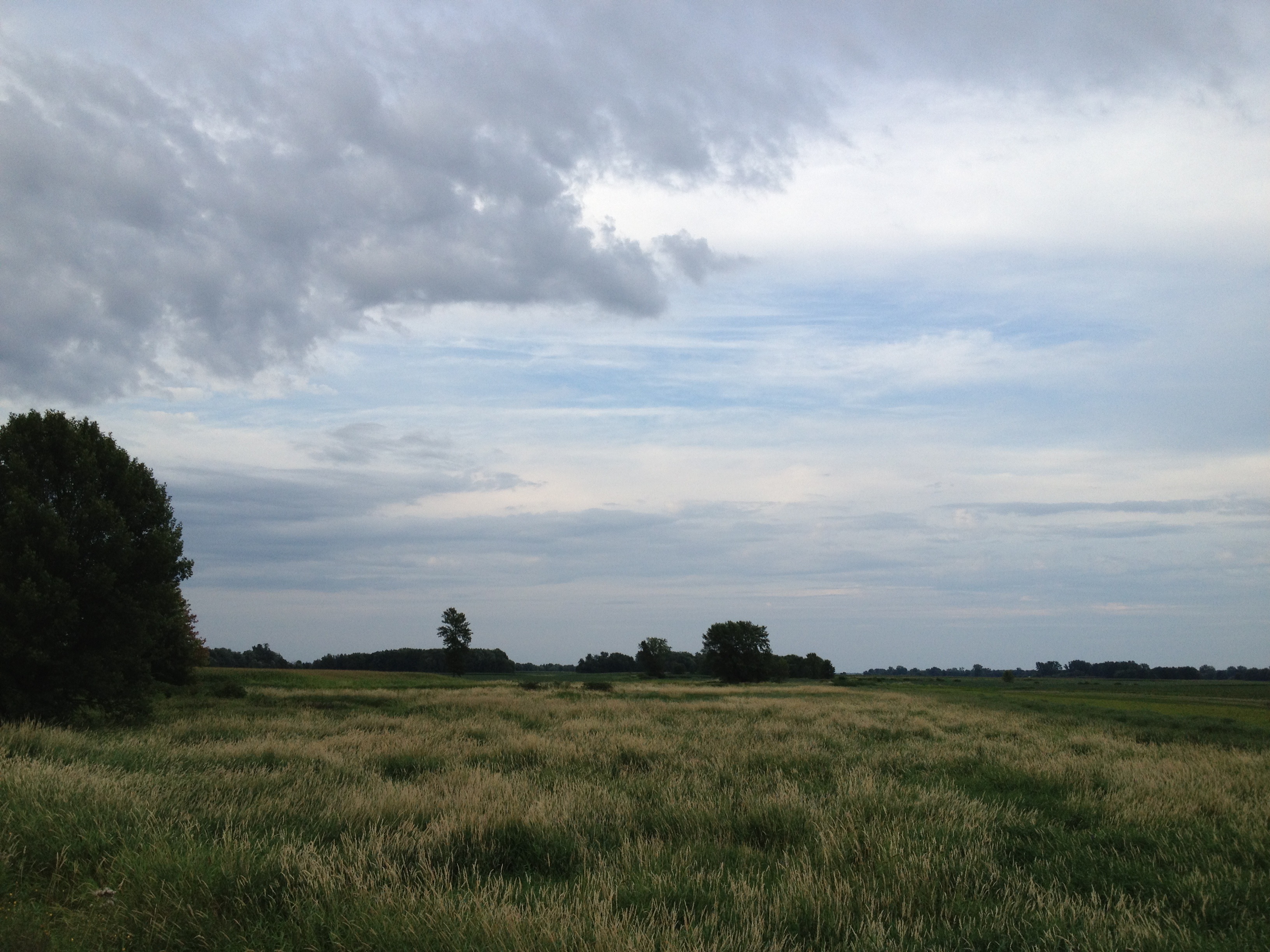
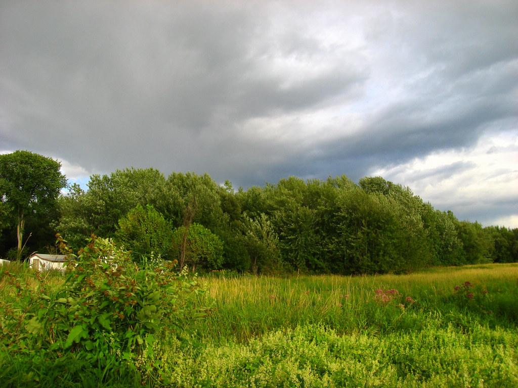
bucolic tranquility
P6030070 FF.jpg
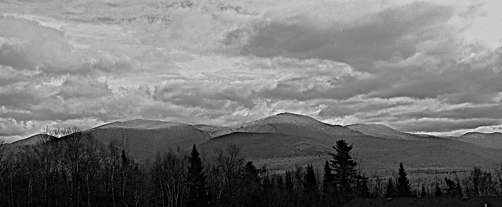
monochrome Presidentials

NIKON D80 - DSC_2184
Un ciel qui s'exprime

Presidentials with the iPhone
la riviere

Petit Chevalier
Rivière Richelieu de nuit, Sorel-Tracy
Topographic Map of Chemin de l'Île d'Embarras, Sainte-Anne-de-Sorel, QC J0G, Canada
Find elevation by address:

Places near Chemin de l'Île d'Embarras, Sainte-Anne-de-Sorel, QC J0G, Canada:
Sainte-anne-de-sorel
Route Marie Victorin, Saint-Robert, QC J0G 1S0, Canada
Grande Terre Rang, Saint-François-du-Lac, QC J0G 1M0, Canada
Saint-françois-du-lac
Saint-robert
Saint-joseph-de-maskinongé
Saint-robert
Rang du Chenal Tardif, Pierreville, QC J0G 1J0, Canada
Saint-joseph-de-maskinongé
Le Bas-richelieu
Saint-françois-du-lac
Pierreville
Maskinongé
Sorel
12 Rue Principale, Saint-David, QC J0G 1L0, Canada
Sainte-victoire-de-sorel
Rang du Haut de la Rivière, Pierreville, QC J0G 1J0, Canada
Saint-thomas-de-pierreville
Route du Pied de la Côte, Maskinongé, QC J0K 1N0, Canada
Sainte-victoire-de-sorel
Recent Searches:
- Elevation of Côte-des-Neiges, Montreal, QC H4A 3J6, Canada
- Elevation of Bobcat Dr, Helena, MT, USA
- Elevation of Zu den Ihlowbergen, Althüttendorf, Germany
- Elevation of Badaber, Peshawar, Khyber Pakhtunkhwa, Pakistan
- Elevation of SE Heron Loop, Lincoln City, OR, USA
- Elevation of Slanický ostrov, 01 Námestovo, Slovakia
- Elevation of Spaceport America, Co Rd A, Truth or Consequences, NM, USA
- Elevation of Warwick, RI, USA
- Elevation of Fern Rd, Whitmore, CA, USA
- Elevation of 62 Abbey St, Marshfield, MA, USA