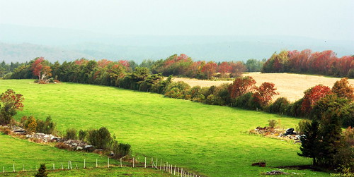
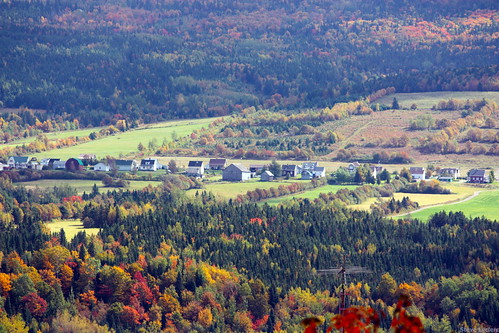
Elevation map of Chaudière-Appalaches, QC, Canada
Location: Canada > Québec >
Longitude: -70.626527
Latitude: 46.48513
Elevation: 282m / 925feet
Barometric Pressure: 98KPa
Related Photos:
Topographic Map of Chaudière-Appalaches, QC, Canada
Find elevation by address:

Places near Chaudière-Appalaches, QC, Canada:
126 Rang Du Mont-orignal
Saint-malachie
Avenue du Ruisseau, Lac-Etchemin, QC G0R 1S0, Canada
Saint-damien-de-buckland
Rue Commerciale, Saint-Damien-de-Buckland, QC G0R 2Y0, Canada
Saint-malachie
Notre-dame-auxiliatrice-de-buckland
Saint-damien-de-buckland
Notre-dame-auxiliatrice-de-buckland
Route Henderson, Saint-Malachie, QC G0R 3N0, Canada
140 8e Rang
Saint-luc-de-bellechasse
Massif Du Sud
Rang Longue-Pointe, Saint-Malachie, QC G0R 3N0, Canada
22 Route Abénakis, Sainte-Claire, QC G0R 2V0, Canada
Rue des Saules, Saint-Nérée, QC G0R 3V0, Canada
Rang Saint-Alexis, Saint-Philémon, QC G0R 4A0, Canada
Saint-nérée-de-bellechasse
Saint-philémon
Rang Sainte-Croix, Saint-Philémon, QC G0R 4A0, Canada
Recent Searches:
- Elevation of Congressional Dr, Stevensville, MD, USA
- Elevation of Bellview Rd, McLean, VA, USA
- Elevation of Stage Island Rd, Chatham, MA, USA
- Elevation of Shibuya Scramble Crossing, 21 Udagawacho, Shibuya City, Tokyo -, Japan
- Elevation of Jadagoniai, Kaunas District Municipality, Lithuania
- Elevation of Pagonija rock, Kranto 7-oji g. 8"N, Kaunas, Lithuania
- Elevation of Co Rd 87, Jamestown, CO, USA
- Elevation of Tenjo, Cundinamarca, Colombia
- Elevation of Côte-des-Neiges, Montreal, QC H4A 3J6, Canada
- Elevation of Bobcat Dr, Helena, MT, USA


