Elevation of Chateaugay, NY, USA
Location: United States > New York > Franklin County >
Longitude: -74.079608
Latitude: 44.9264336
Elevation: 288m / 945feet
Barometric Pressure: 98KPa
Elevation Map:
Satellite Map:
Related Photos:
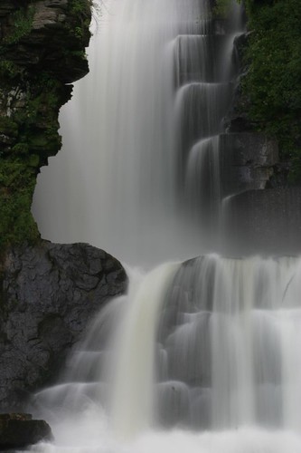
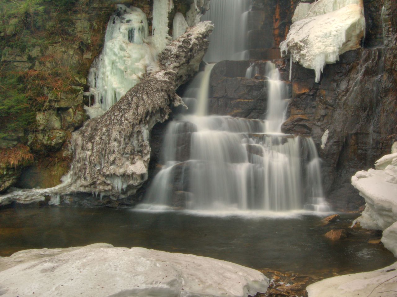
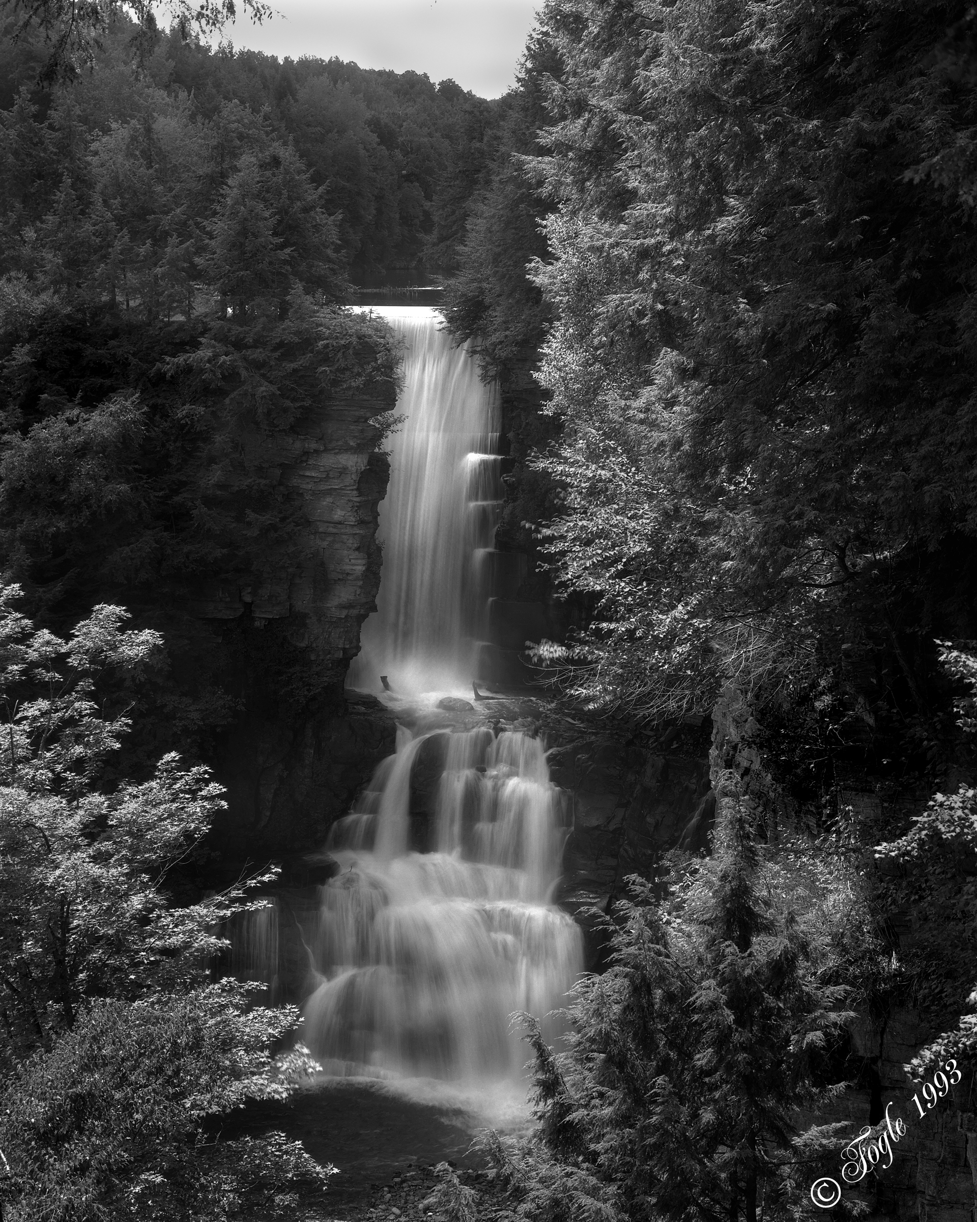
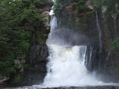
High Falls
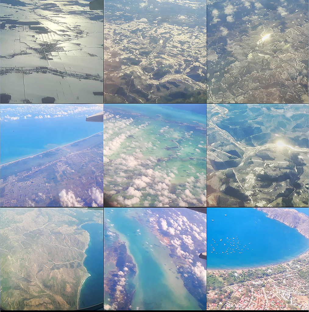
Montreal to Costa Rica
Just outside Malone, N.Y.
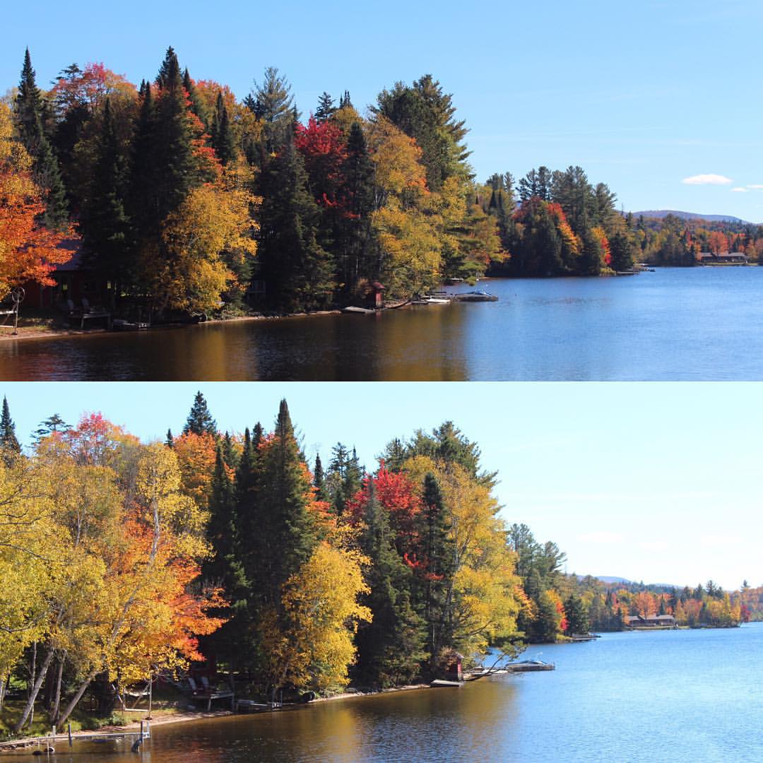
#AutumnLove #beautiful #NNY #NNYLove
Fading beauty
High Falls
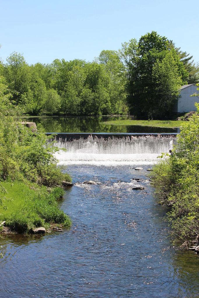
Dam on Hinchinbrooke River
Dam on Hinchinbrooke River in Athelstan
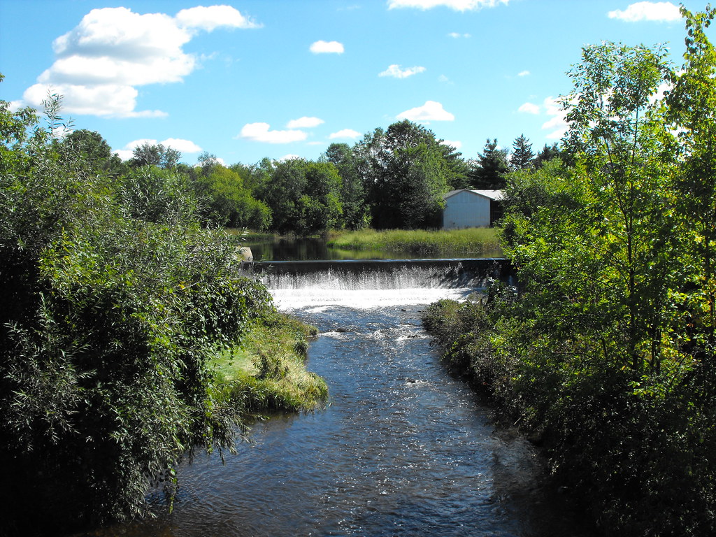
Little Dam in Athelstan, Qc
Dam on Hinchinbrooke River in Athelstan
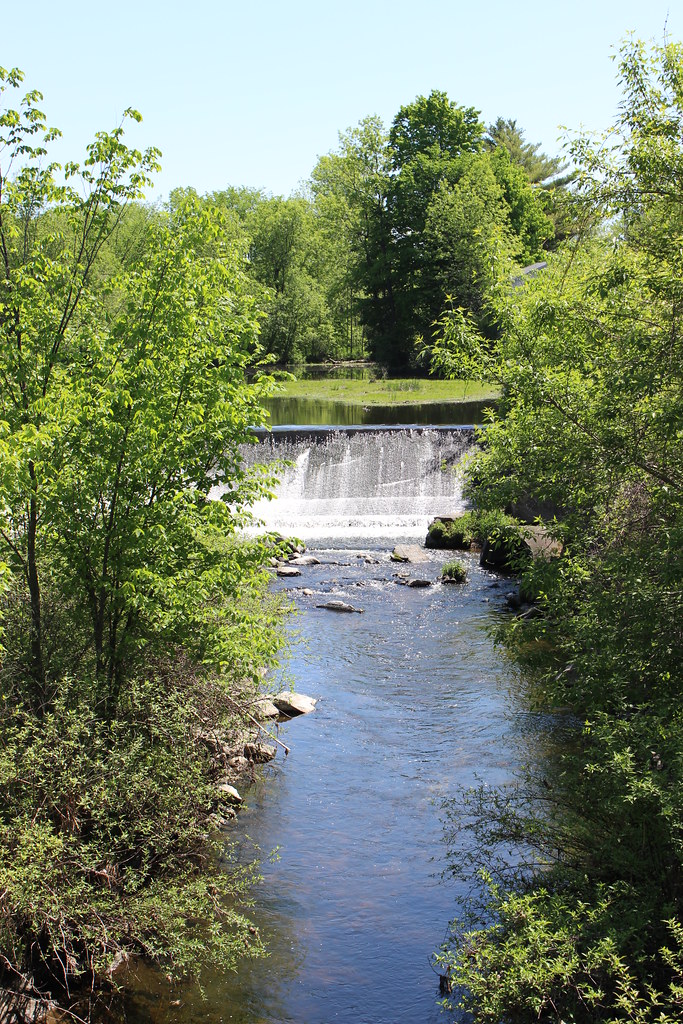
High Falls, Chateaugay, NY
DSC_2868.jpg
Upstate New York
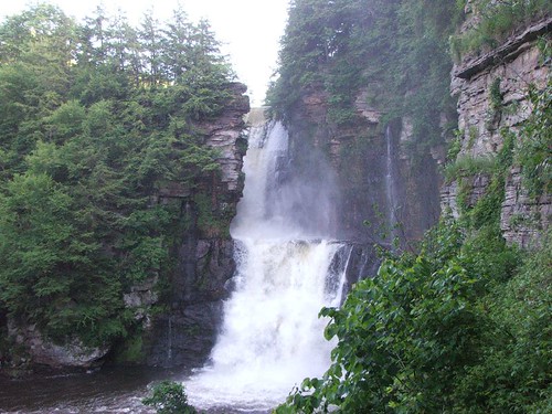
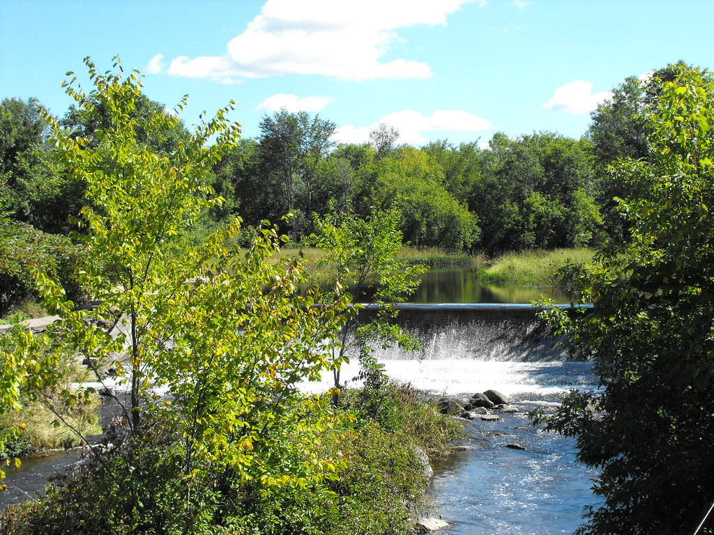
High Falls, Chateaugay, NY
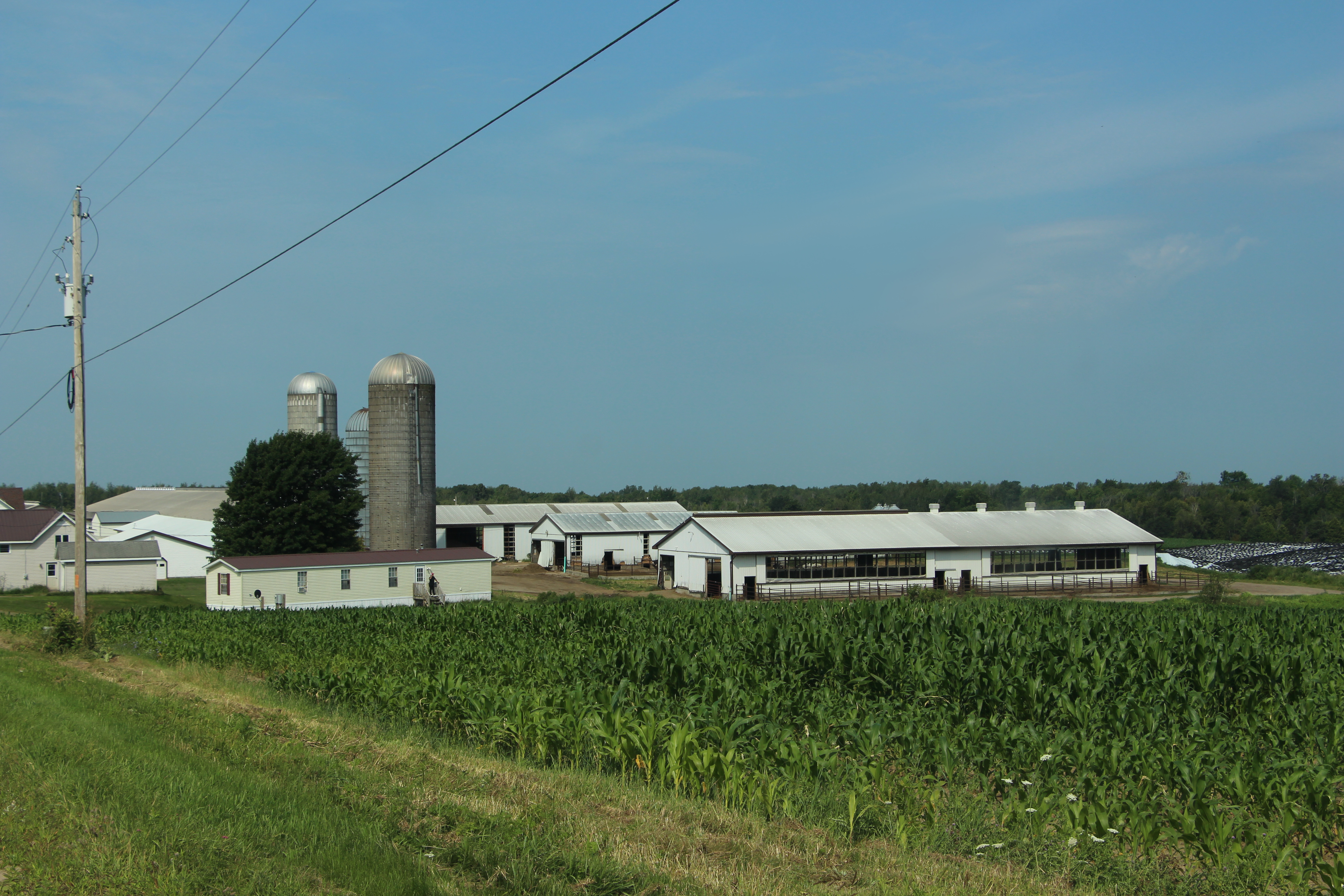
Farm in Bellmont, Brainardsville Road 24
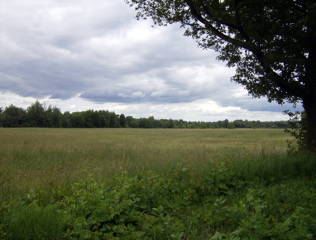
Field on Elm Street
Upstate New York
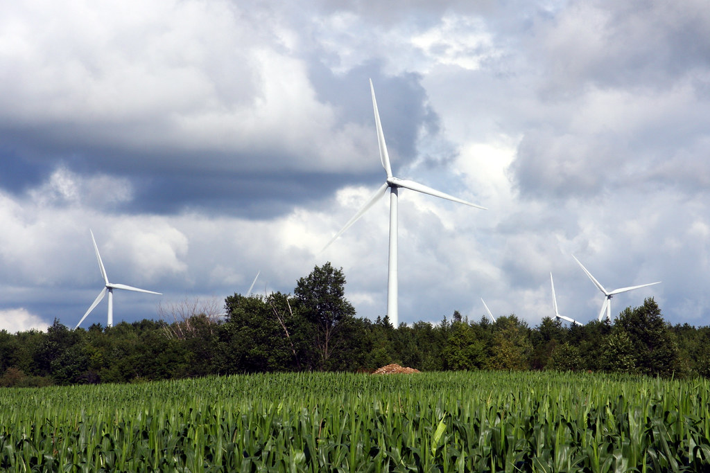
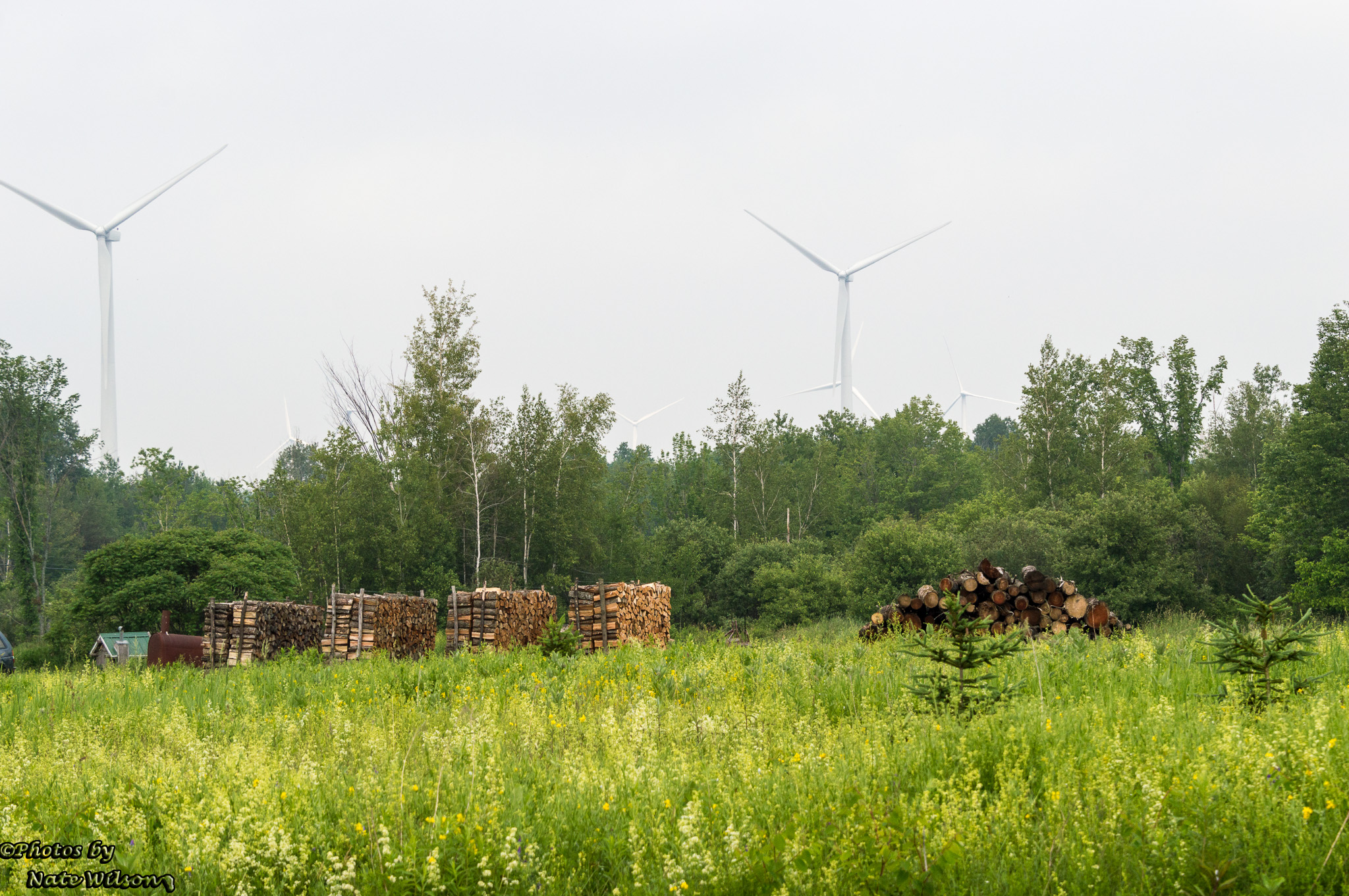
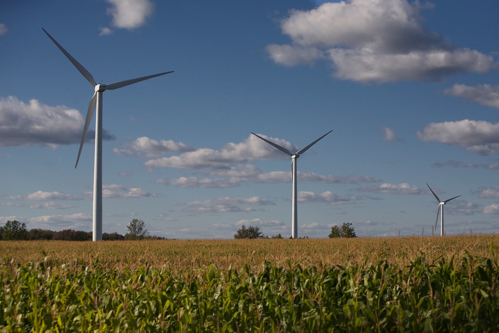
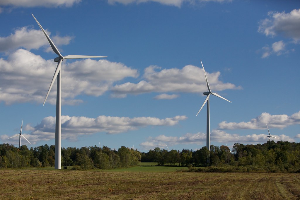
Turbines and a Cornfield
Montérégie, QC
Topographic Map of Chateaugay, NY, USA
Find elevation by address:

Places near Chateaugay, NY, USA:
Chateaugay
1400 Malone Chat Rd
US-11, Burke, NY, USA
145 Legacy Rd
2385 County Rte 24
County Route 23
1350 County Rte 24
Burke
Bellmont Center
5263 Us-11
Coveytown Rd, Burke, NY, USA
7960 Star Rd
544 Spear Hill Rd
638 County Rte 24
5257 Ny-374
80 Denio Rd
Bellmont
111 County Rte 24
Ellenburg
Ellenburg Center
Recent Searches:
- Elevation of Sadovaya Ulitsa, 20, Rezh, Sverdlovskaya oblast', Russia
- Elevation of Ulitsa Kalinina, 79, Rezh, Sverdlovskaya oblast', Russia
- Elevation of 72-31 Metropolitan Ave, Middle Village, NY, USA
- Elevation of 76 Metropolitan Ave, Brooklyn, NY, USA
- Elevation of Alisal Rd, Solvang, CA, USA
- Elevation of Vista Blvd, Sparks, NV, USA
- Elevation of 15th Ave SE, St. Petersburg, FL, USA
- Elevation of Beall Road, Beall Rd, Florida, USA
- Elevation of Leguwa, Nepal
- Elevation of County Rd, Enterprise, AL, USA