Elevation of Chateau Ct, Independence, KY, USA
Location: United States > Kentucky > Kenton County > Independence >
Longitude: -84.539275
Latitude: 38.939409
Elevation: 269m / 883feet
Barometric Pressure: 98KPa
Elevation Map:
Satellite Map:
Related Photos:

Covington Ky and Cincinnati Oh

How To Take Out Two Classics

Newport KY ~ Cathedral Basilica of the Assumption

7/52 WFND Growing toward the light

My view from Cooper's parking lot this morning...

lost are voices heard along the way

A more unobstructed view of the sunset.
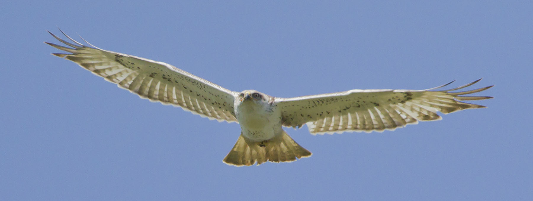
FERRUGINOUS HAWK

Kites Over Devou Park

Country Cabin (Night)

Cincinnati Skyline from Covington
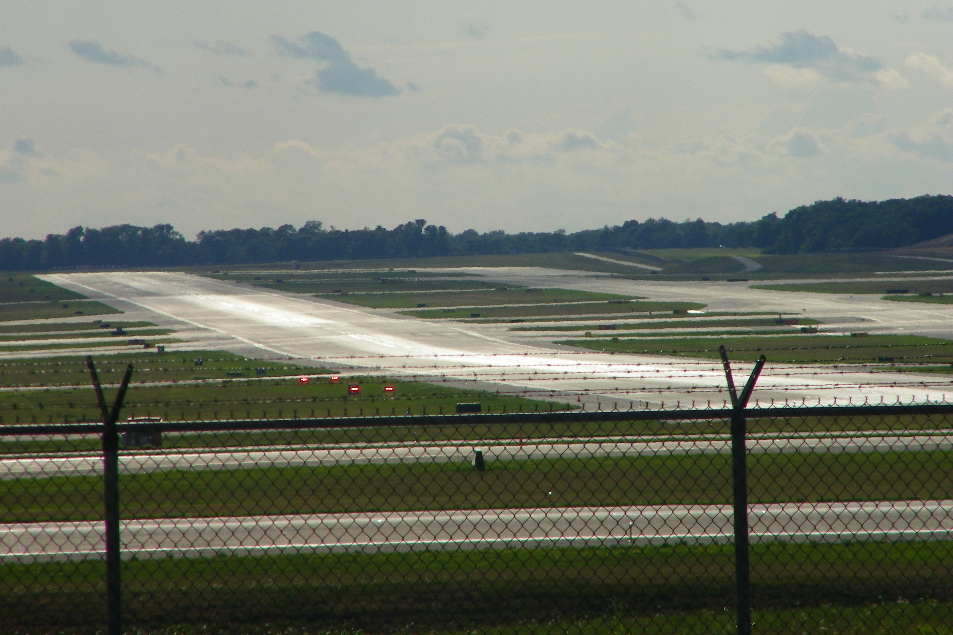
Cincinnati/Northern Kentucky International Airport (Hebron, Kentucky)

Cincinnati Skyline from Covington

Devou Park Panorama

A view of the 'Natti.

Mainstrasse I

Bobcat Nights

:o(

Cincinnati Skyline before Monday Night Football

View from the Garden of Hope

Downtown Cincinnati from Devou Park

Mirror Of Fire

Gold and Warm

Fishing by the River
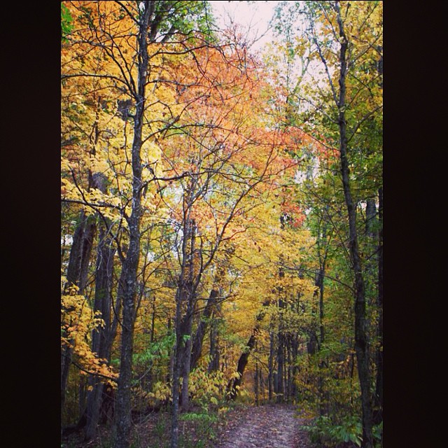
#Fall #foliage from Middle Creek Park in Burlington, #Kentucky.

Where's My Pot Of Gold?

A.M. @Cooper #artatthecoop #cooperhighschool #rchs #nofilter

have you forgotten how to love yourself?

Orleans Lake

#Fall #foliage from Middle Creek Park in Burlington, #Kentucky.

Where's My Pot Of Gold?

#Fall #foliage from Middle Creek Park in Burlington, #Kentucky.

#Fall #foliage from Middle Creek Park in Burlington, #Kentucky.

131:365

A view of the John A. Roebling Suspension Bridge leading from #cincinnati into #Covington #Kentucky as seen from the #reds stadium. Completed in 1867, Roebling went on to design the iconic Brooklyn Bridge. #ttot #travel

Morning Clouds

Kentucky Sunrise

Night Sky

Night Sky

Fall Colors

Wilder, Kentucky

catching the clouds before the storm
Topographic Map of Chateau Ct, Independence, KY, USA
Find elevation by address:

Places near Chateau Ct, Independence, KY, USA:
Independence
Stafford Heights Rd, Independence, KY, USA
11144 Stafford Heights Rd
2809 Harris Pike
4963 Madison Pike
Taylor Mill Rd, Independence, KY, USA
Clubhouse Dr, Covington, KY, USA
4002 Windfield Ln
3998 Windfield Ln
Kenton County
3994 Windfield Ln
3326 Ridgetop Way
2141 Moffett Rd
Latonia, KY, USA
Thomas Dr, Erlanger, KY, USA
2f28+mc
1025 Mary Laidley Rd
432 Black Oak Ct
3160 Hergott Dr
Brookwood Cir, Edgewood, KY, USA
Recent Searches:
- Elevation of Lust Road, Lust Rd, Florida, USA
- Elevation of Pleasant Valley Rd NW, Adairsville, GA, USA
- Elevation of Općina Šodolovci, Croatia
- Elevation of Šodolovci, Croatia
- Elevation of Old Clairton Rd, Jefferson Hills, PA, USA
- Elevation of st Ave SE, Lisbon, ND, USA
- Elevation of Steamboat Island Road Northwest, Olympia, WA, USA
- Elevation of Kootenai Trail Rd, Bonners Ferry, ID, USA
- Elevation of Hickory Blvd, Bonita Springs, FL, USA
- Elevation of Lalagbene, Bayelsa, Nigeria