Elevation of Charlton Rd, Ellensburg, WA, USA
Location: United States > Washington > Ellensburg >
Longitude: -120.48255
Latitude: 47.108053
Elevation: -10000m / -32808feet
Barometric Pressure: 295KPa
Elevation Map:
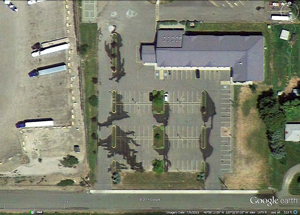
Satellite Map:
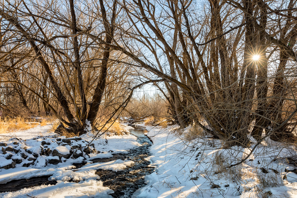
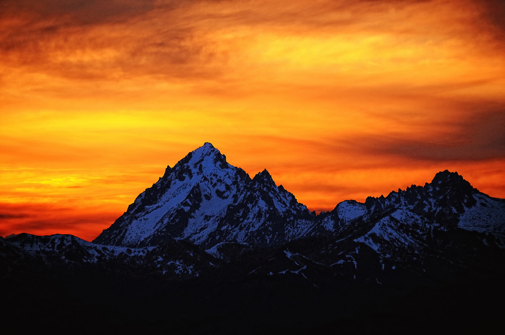
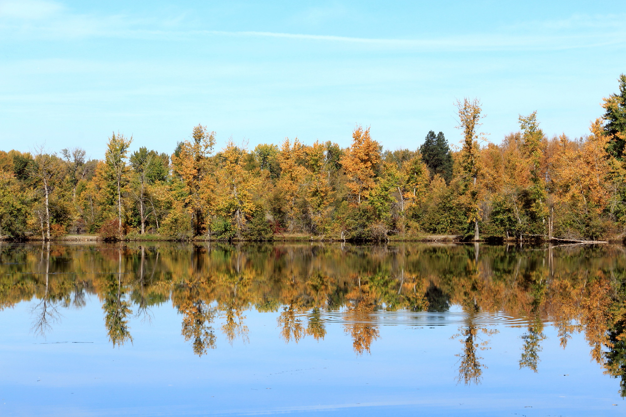
Related Photos:

Layers of Blue

Sunset over the Enchantments

Northern Pacific Depot, Thorp, Washington, early 1950's

At One Time...
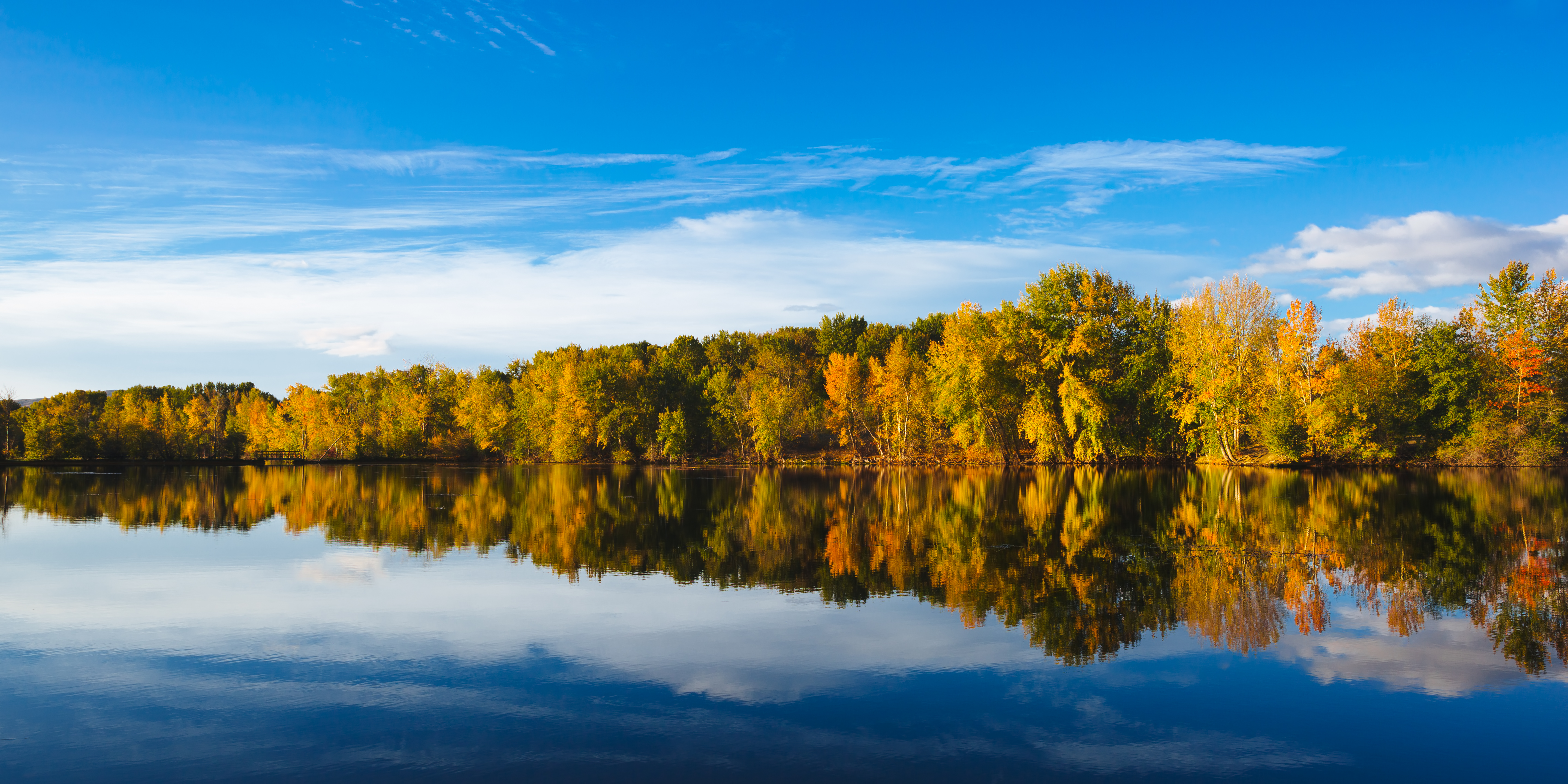
Autumn, what have you done?

Lion Rock + Mt. Stuart

Rough-legged hawk, Buteo lagopus

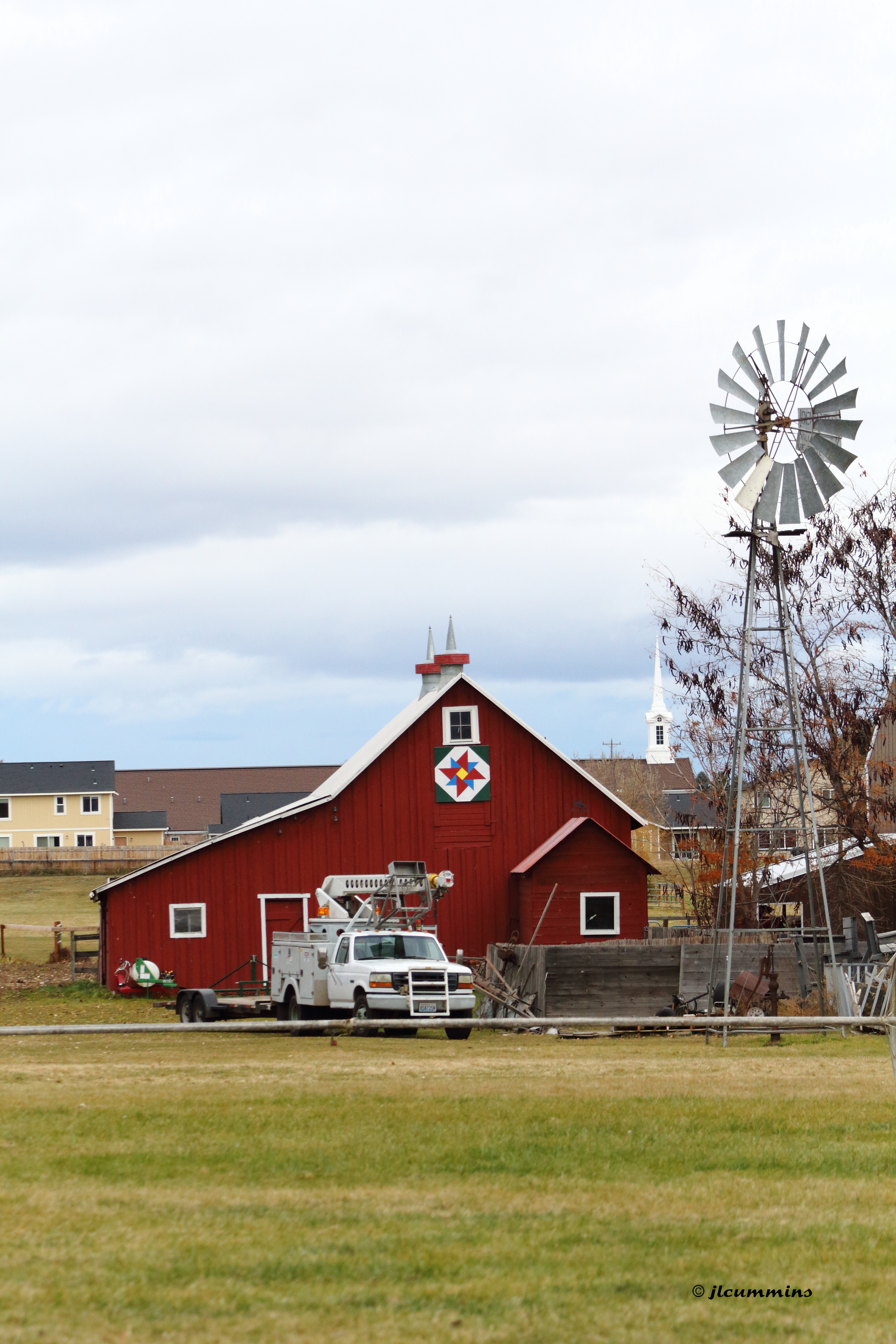
Dusty's Nursery/Old Dominion Farm, 1116 E. Mountain View Ave., Ellensburg, Washington
Bull Farm, 1215 E. Mountain View Ave., Ellensburg, Washington

Dusty's Nursery/Old Dominion Farm, 1116 E. Mountain View Ave.,Ellensburg, Washington

Ryan & Cody

Man talks to a painting!... 20080906_4447

In A Fog
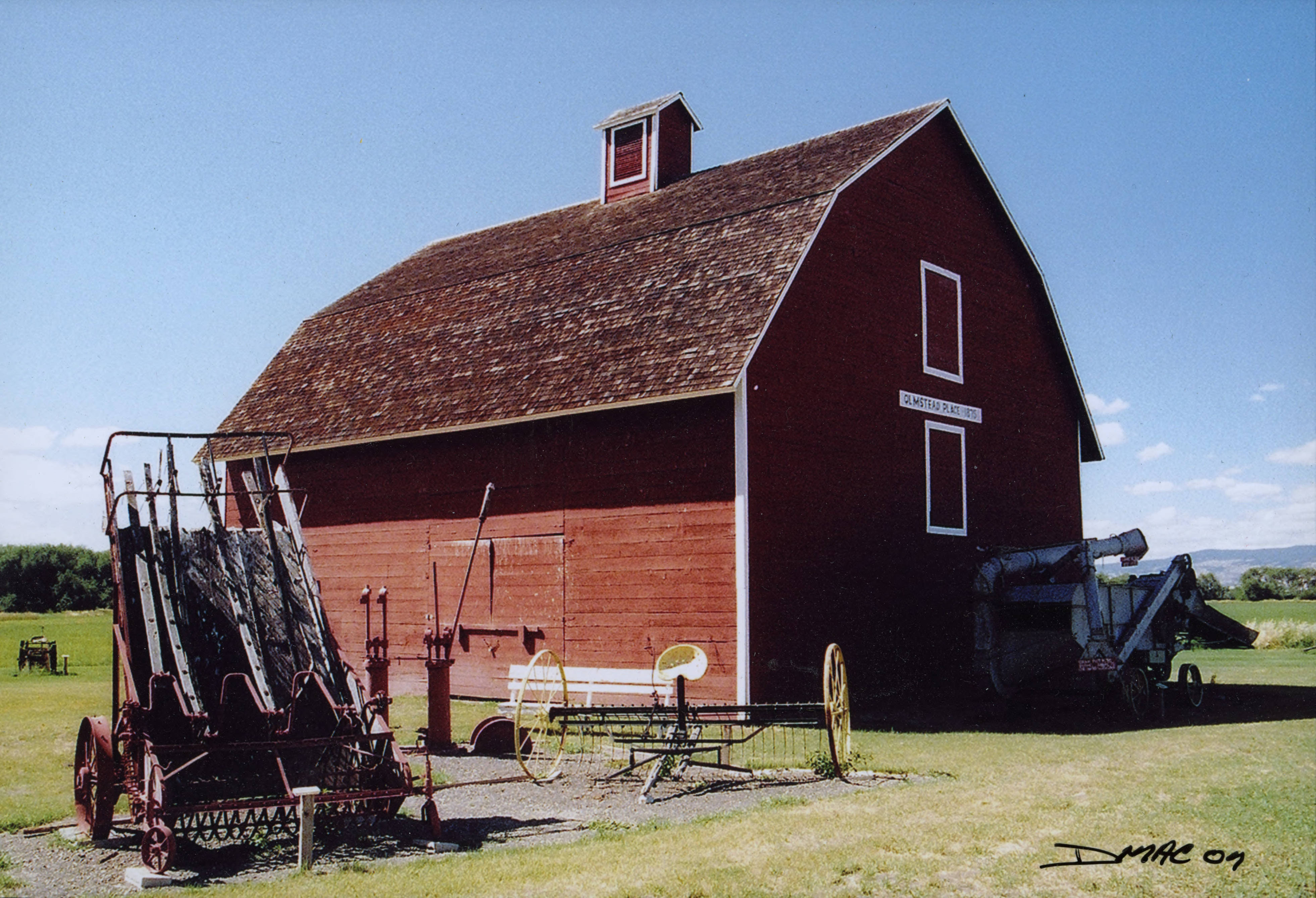
Olmstead barn

BNSF Thorp, WA. 2012

Ryan & Cody
Day 150/365 - No place like home
Happy New Year!

View Southeast from Colockum Road

Water cleaner---view from road... .20050620_3648
Watering the parking lot... 20140422
Mt. Stuart Kissed by the Sun

Grain at Dusk

Lush and Green

Light After Rain

A Country Road
Carey Pond, Kittitas County, Washington

Them there hills.
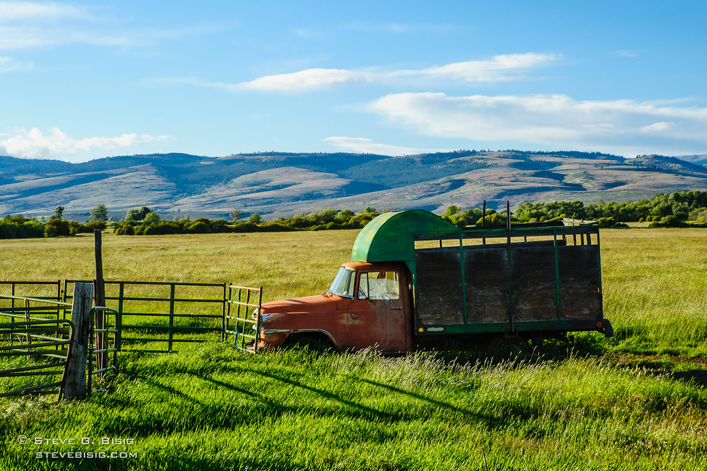
Old International Livestock Truck, Kittitas County, Washington (Jun 2011)

Snow goose with Canada geese, Ellensburg, Washington

DSC0071111tumblr.jpg

Golden Hour

Aquaduct near Thorp, WA

Fallen Autumn Leaves, Kittitas County, Washington, October 2013

2013 01 01 Seattle > Spokane

Autumn Colors, Lyons Road, Kittitas County, Washington, October 2013

Dogs exploring alpine meadow

photo.jpg
Seattle to ORD

Seattle Roadtrip: Sunset

A Frozen Lake - Ellesnburg, Washington
Topographic Map of Charlton Rd, Ellensburg, WA, USA
Find elevation by address:

Places near Charlton Rd, Ellensburg, WA, USA:
141 Gold Star Ln
463 Pheasant Ln
807 E White Birch Ave
2060 Vantage Hwy
801 E 5th Ave
801 E 4th Ave
603 E 3rd Ave
Ellensburg
Lower Kittitas County District Court
104 N Ruby St
Brick Road Books
209 N Main St
1917 West Peakview Drive
Kittitas
2101 W Dolarway Rd
Number 6 Road
Clerf Road
10350 Us-97
4910 Secret Canyon Rd
Thorp
Recent Searches:
- Elevation of Holloway Ave, San Francisco, CA, USA
- Elevation of Norfolk, NY, USA
- Elevation of - San Marcos Pass Rd, Santa Barbara, CA, USA
- Elevation of th Pl SE, Issaquah, WA, USA
- Elevation of 82- D Rd, Captain Cook, HI, USA
- Elevation of Harlow CM20 2PR, UK
- Elevation of Shenyang Agricultural University, Dong Ling Lu, Shen He Qu, Shen Yang Shi, Liao Ning Sheng, China
- Elevation of Alpha Dr, Melbourne, FL, USA
- Elevation of Hiroshima University, 1-chōme-3-2 Kagamiyama, Higashihiroshima, Hiroshima -, Japan
- Elevation of Bernina Dr, Lake Arrowhead, CA, USA