Elevation of Charlotte White Road, Charlotte White Rd, Westport, MA, USA
Location: United States > Massachusetts > Bristol County > Westport >
Longitude: -71.098712
Latitude: 41.6076082
Elevation: 60m / 197feet
Barometric Pressure: 101KPa
Elevation Map:
Satellite Map:
Related Photos:

Lunch with a View

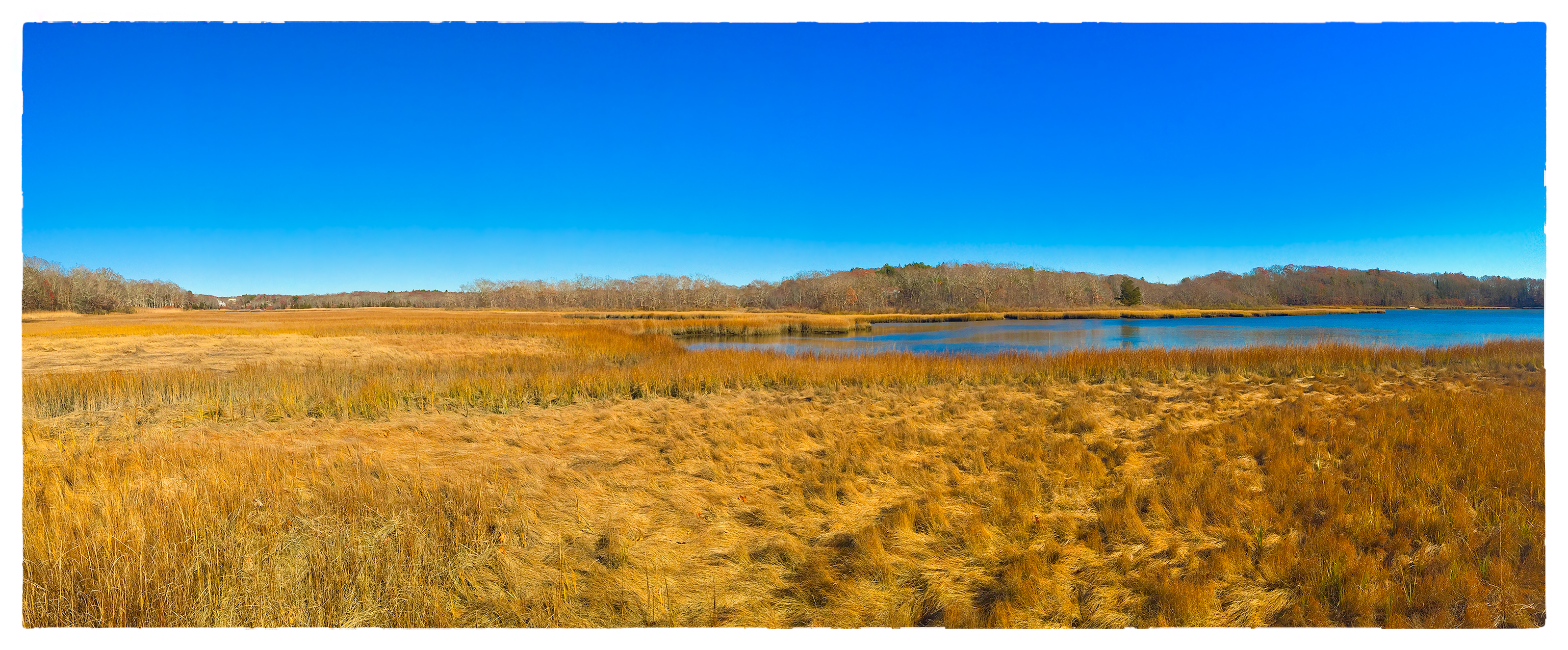
Out on the Marsh

View From Below The Seapowet Bridge

A Yard With A View

Bayside Budds

Rolling Into The Whaling City

Sunset at Battleship Cove

The Sleeping Beauty

Van Gogh was a Realist

Lincoln Park_20090418_128

A Different Point of View

The Lantern Room View

Abandoned Farm

The Comet's Last Stand

070/365 - Abstract Alma Mater

Slocums River View

View from the Bridge

Before the Fall

Stacy at the pond

US-MA Fall River - USS Lionfish Sub Generators 2015-08-30 6k

Old Durfee High School – Fall River, Massachusetts
Slocum's River Reserve

Fort Barton, Tiverton RI Sunset. Looking over to Portsmouth RI and Aquidneck Island.
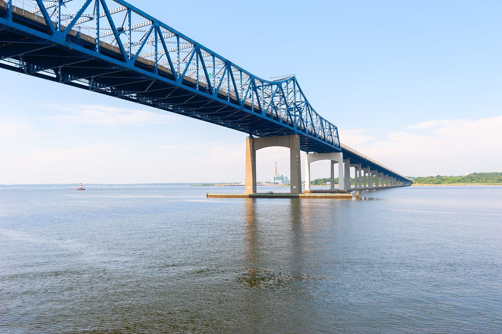
Charles M. Braga Jr. Memorial Bridge
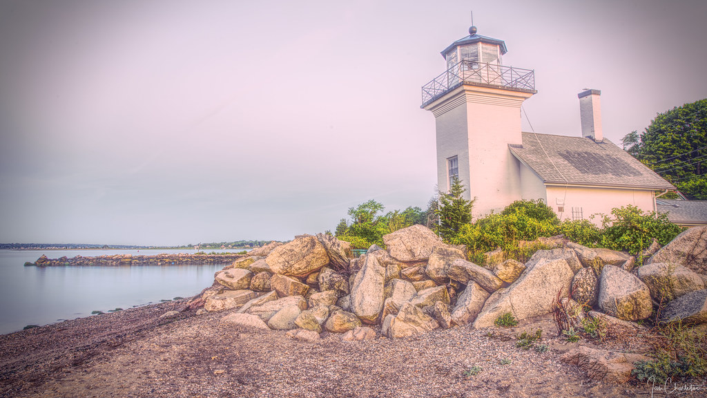
Bristol Ferry Light
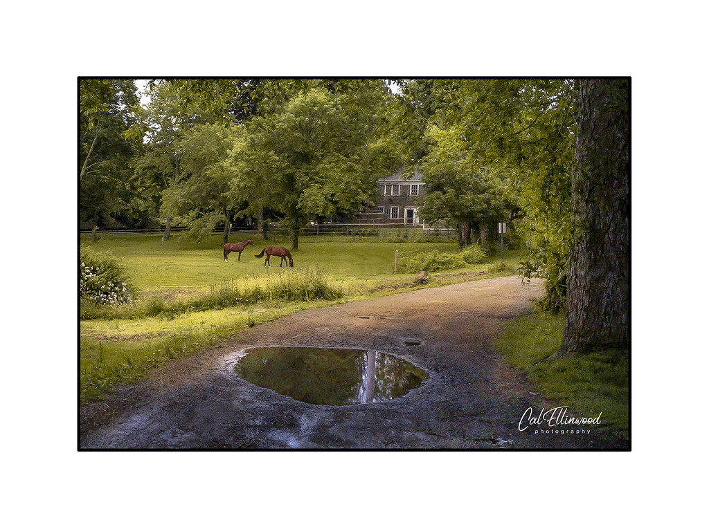
On A Country Lane

Fort Barton, Tiverton RI Sunset
Gooseberry Via Lactea

2011-02-26-Gooseberry Sunset-013-11

The Tiverton Coast

Another Kind of Falling Rock

Mount Hope Bay at Dawn

Palmer's Island Light
2011-02-26-Gooseberry Sunset-013-40

Beautiful Day!

Marsh Reflection

Light Show on Gooseberry Neck

2011-02-26-Gooseberry Sunset-013-33-Edit

Fall on the Westport River
Topographic Map of Charlotte White Road, Charlotte White Rd, Westport, MA, USA
Find elevation by address:

Places near Charlotte White Road, Charlotte White Rd, Westport, MA, USA:
6 Fernmarsh Ln
Sodom Road
104 Main Rd
5 Charlotte White Rd
688 Sodom Rd
18 Giffords Corner, Westport, MA, USA
281 American Legion Hwy
499 Drift Rd
14 Briar Dr
Lees Market
105 Beechwood Dr
55 Fallon Dr
253 Adamsville Rd
23 Mary Lou Ave
1044 Main Rd
1048 Main Rd
283 Briggs Rd
1164 Main Rd
Westport
231c Tickle Rd
Recent Searches:
- Elevation of Shibuya Scramble Crossing, 21 Udagawacho, Shibuya City, Tokyo -, Japan
- Elevation of Jadagoniai, Kaunas District Municipality, Lithuania
- Elevation of Pagonija rock, Kranto 7-oji g. 8"N, Kaunas, Lithuania
- Elevation of Co Rd 87, Jamestown, CO, USA
- Elevation of Tenjo, Cundinamarca, Colombia
- Elevation of Côte-des-Neiges, Montreal, QC H4A 3J6, Canada
- Elevation of Bobcat Dr, Helena, MT, USA
- Elevation of Zu den Ihlowbergen, Althüttendorf, Germany
- Elevation of Badaber, Peshawar, Khyber Pakhtunkhwa, Pakistan
- Elevation of SE Heron Loop, Lincoln City, OR, USA