Elevation of Charlotte, MI, USA
Location: United States > Michigan > Eaton County >
Longitude: -84.835821
Latitude: 42.5636478
Elevation: 277m / 909feet
Barometric Pressure: 98KPa
Elevation Map:
Satellite Map:
Related Photos:
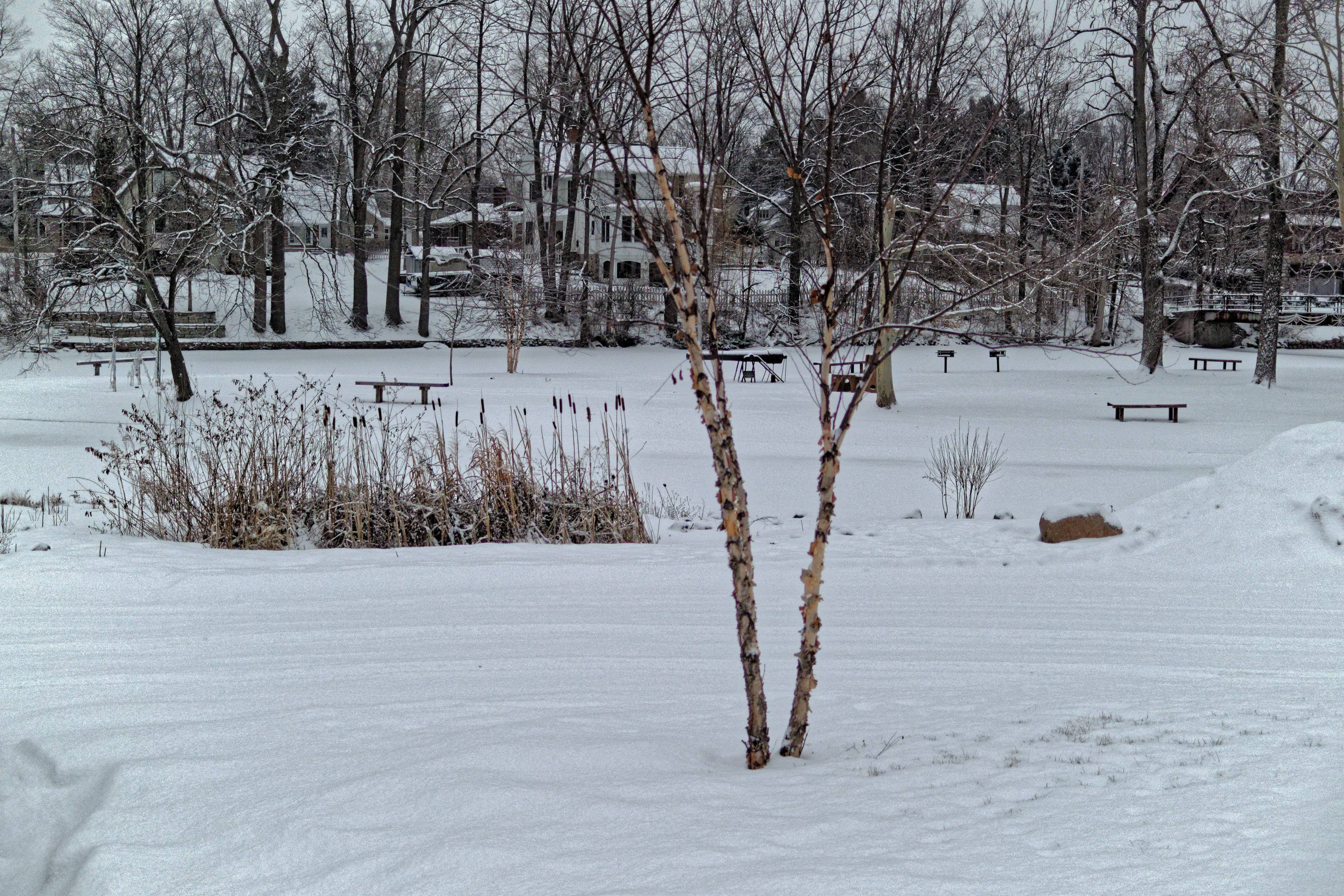
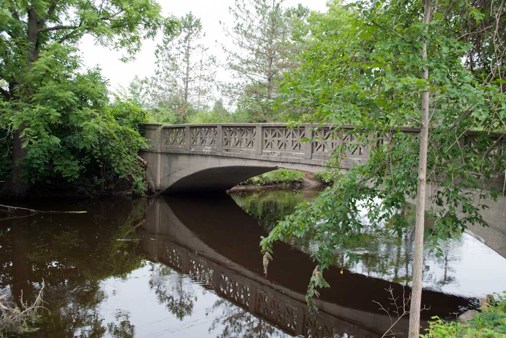
Island Park, Eaton Rapids
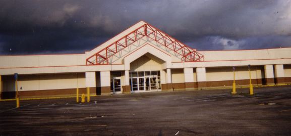
Former Kmart, Charlotte, MI
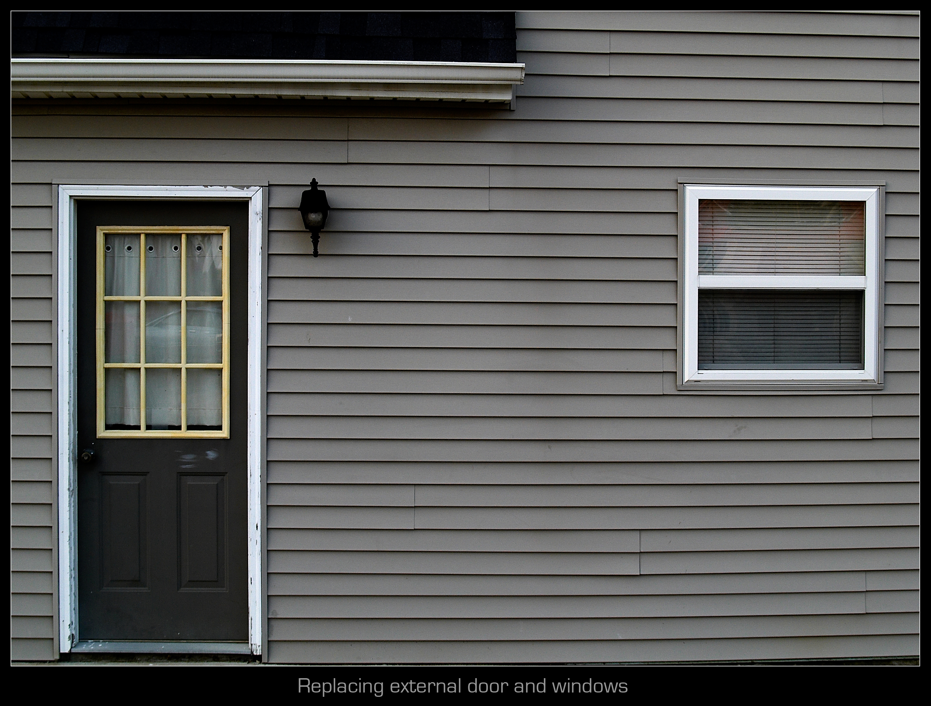
Replacing external door and windows
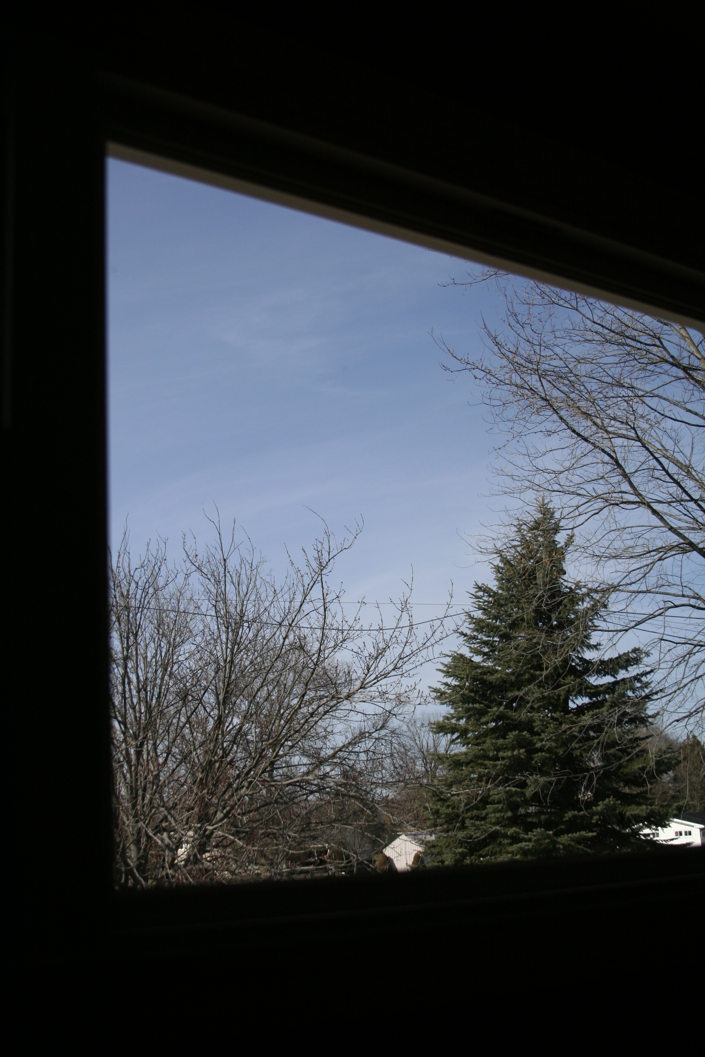
View From My Highschool Window

The Other Side of Time
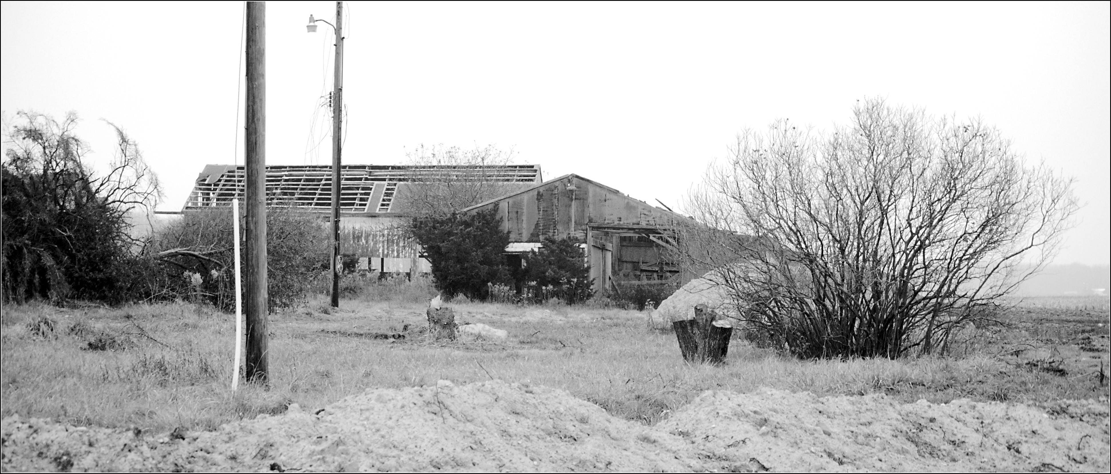
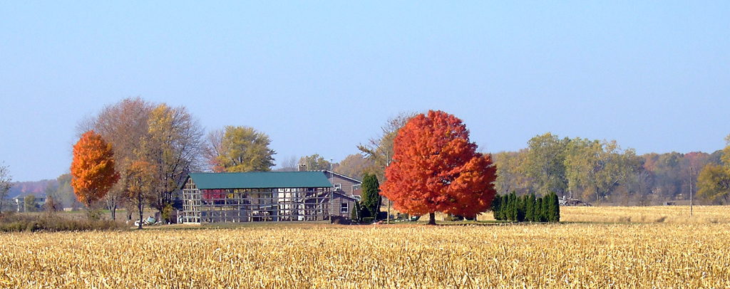
Barn, Wheaton Road
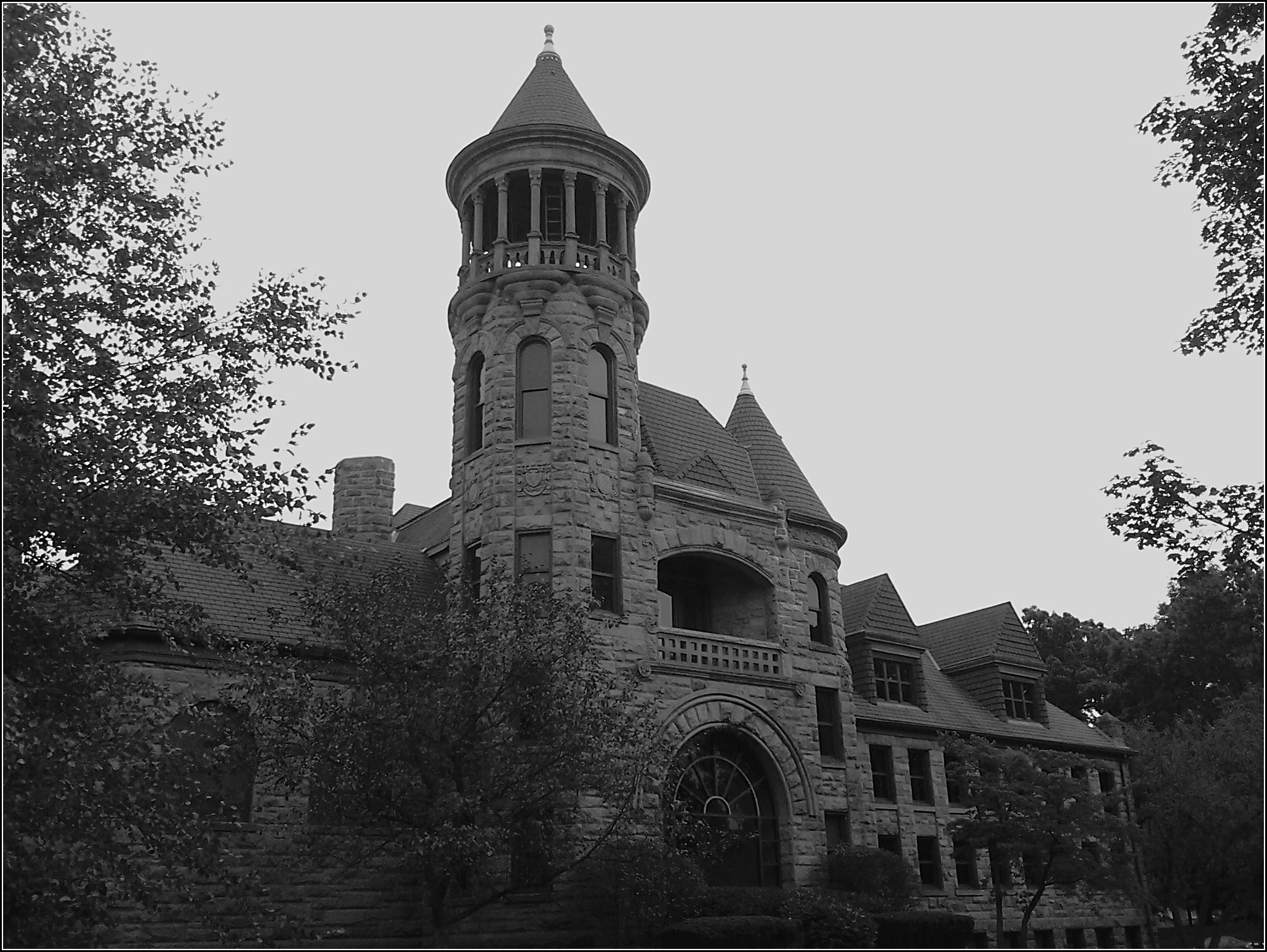
Burrage Library

Connie's

DSC08744-2 - Big Boy
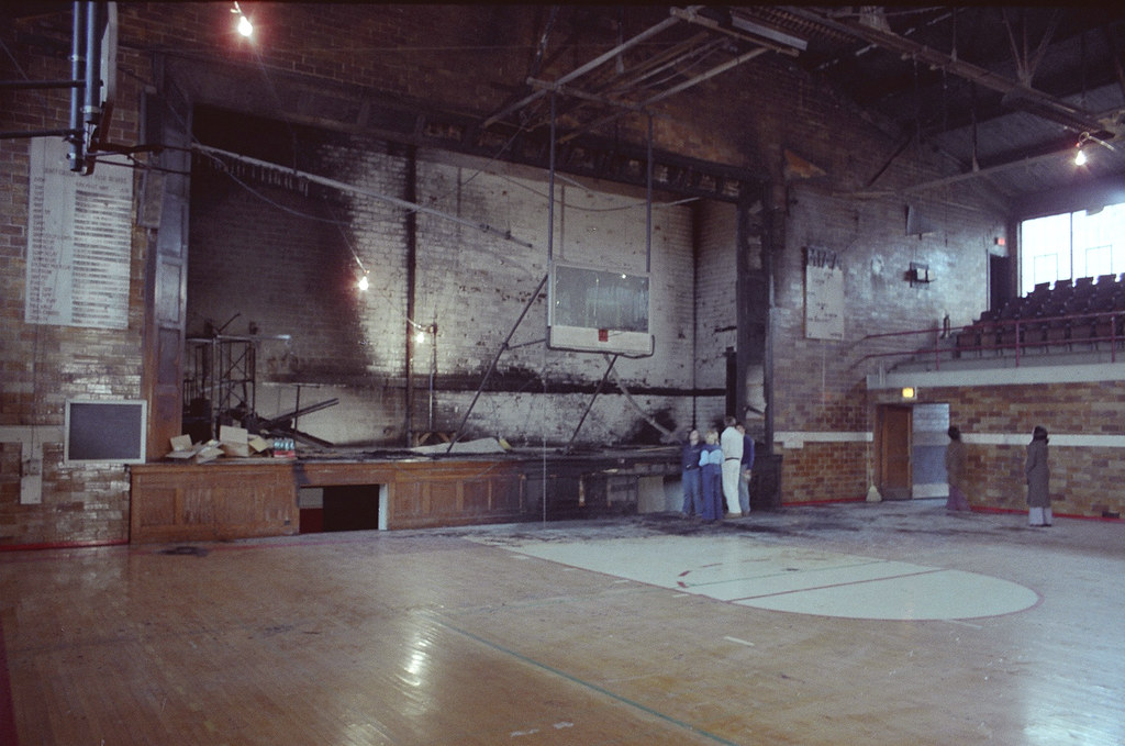
Wider View, Olivet College Gymnasium - February, 1979
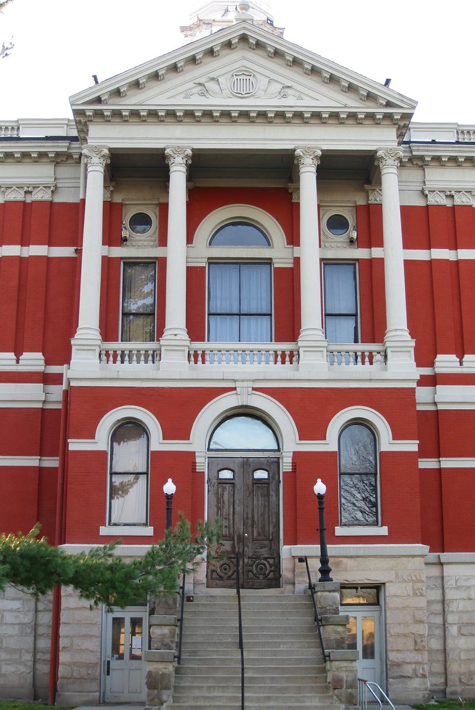
Old Courthouse - Front View

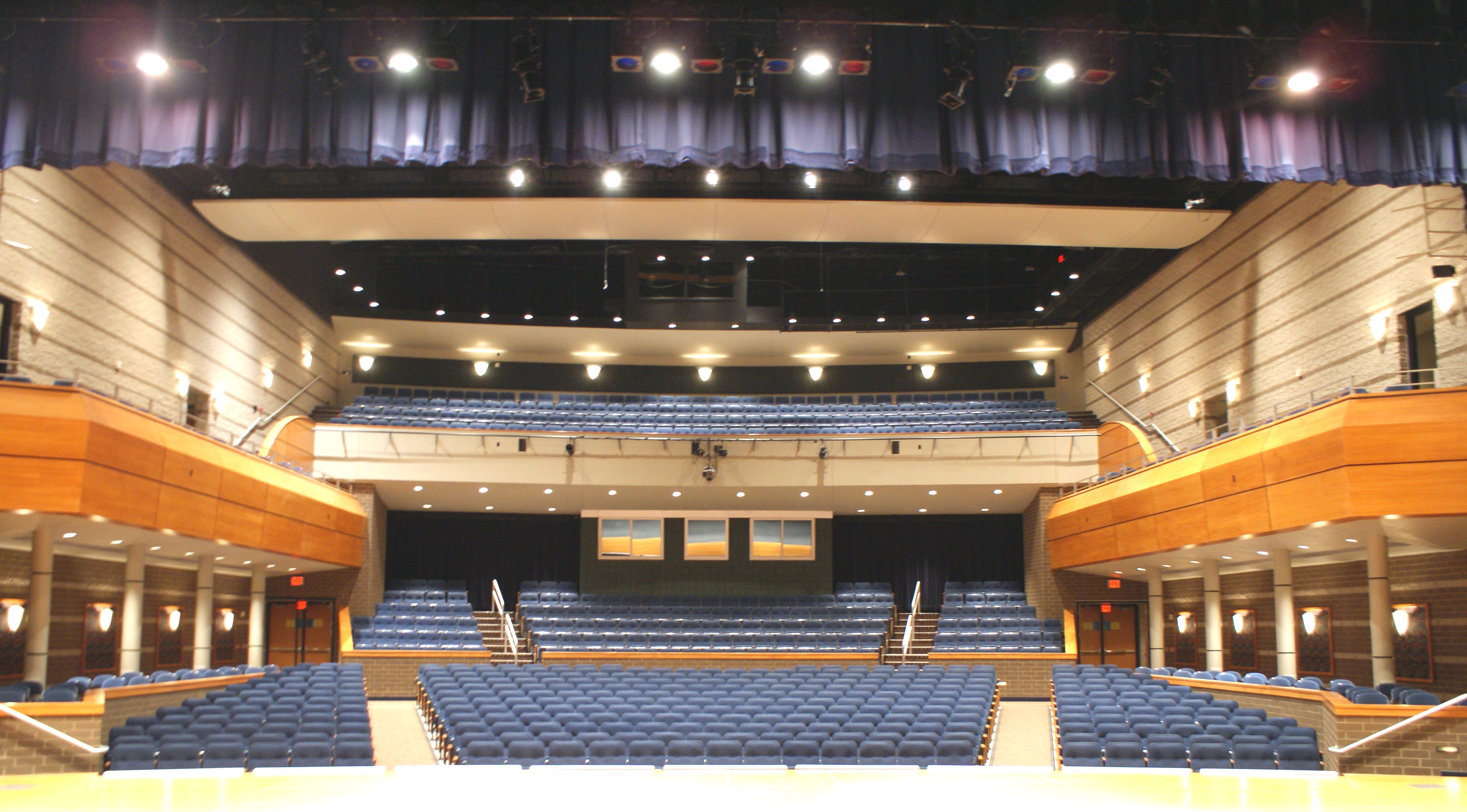
View from House Center
View From Stage
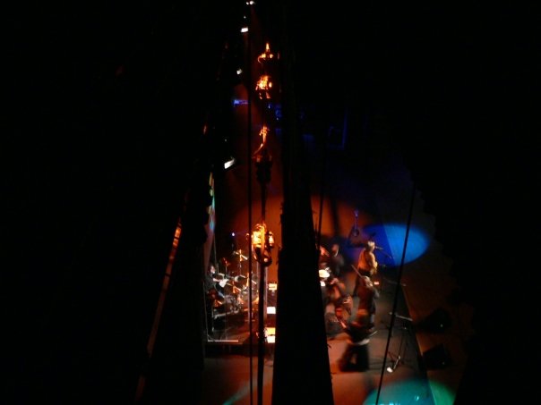
Pin Rail view of The Isaacs
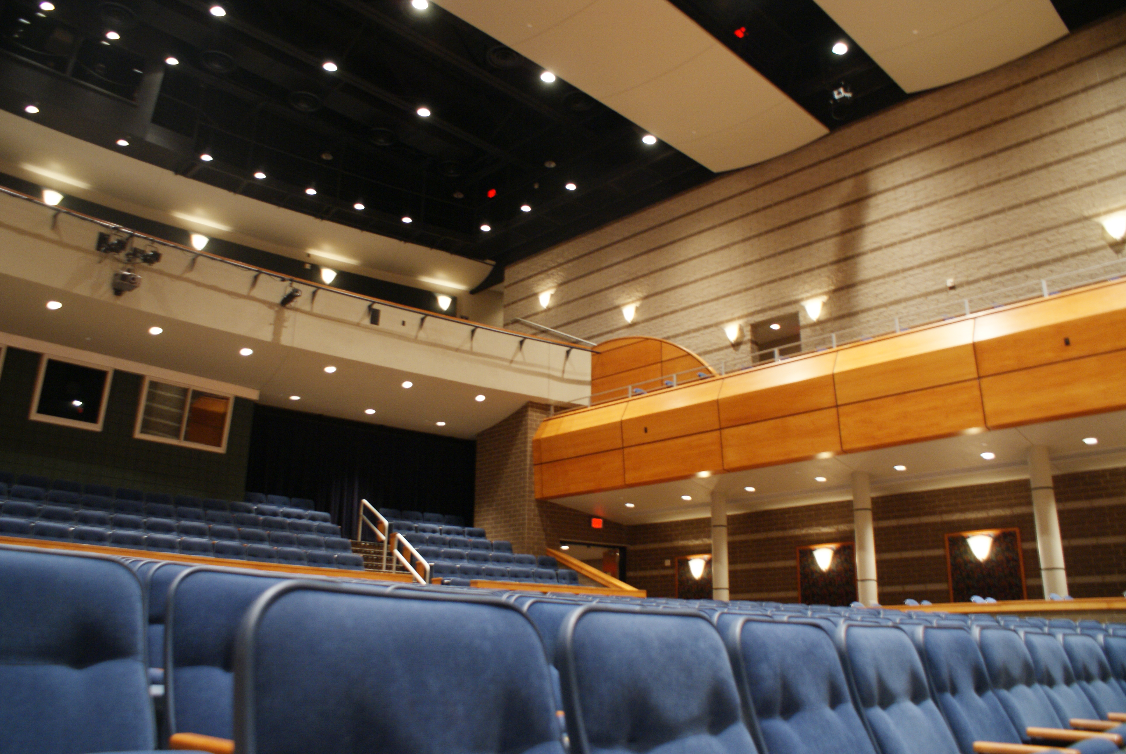
View of House from First Row
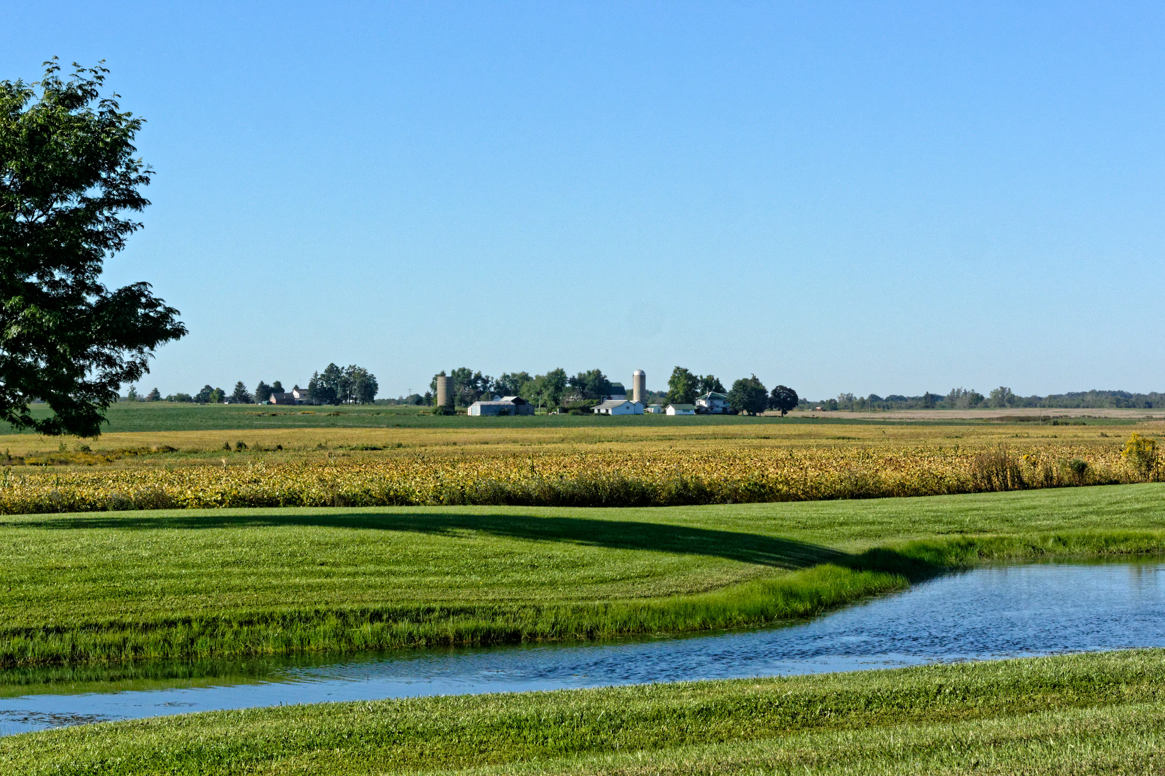
The View from Doane Highway
Then the Sun Came Out
Benton Road Landscape
The Moyer Graveyard
Right Into the Sun
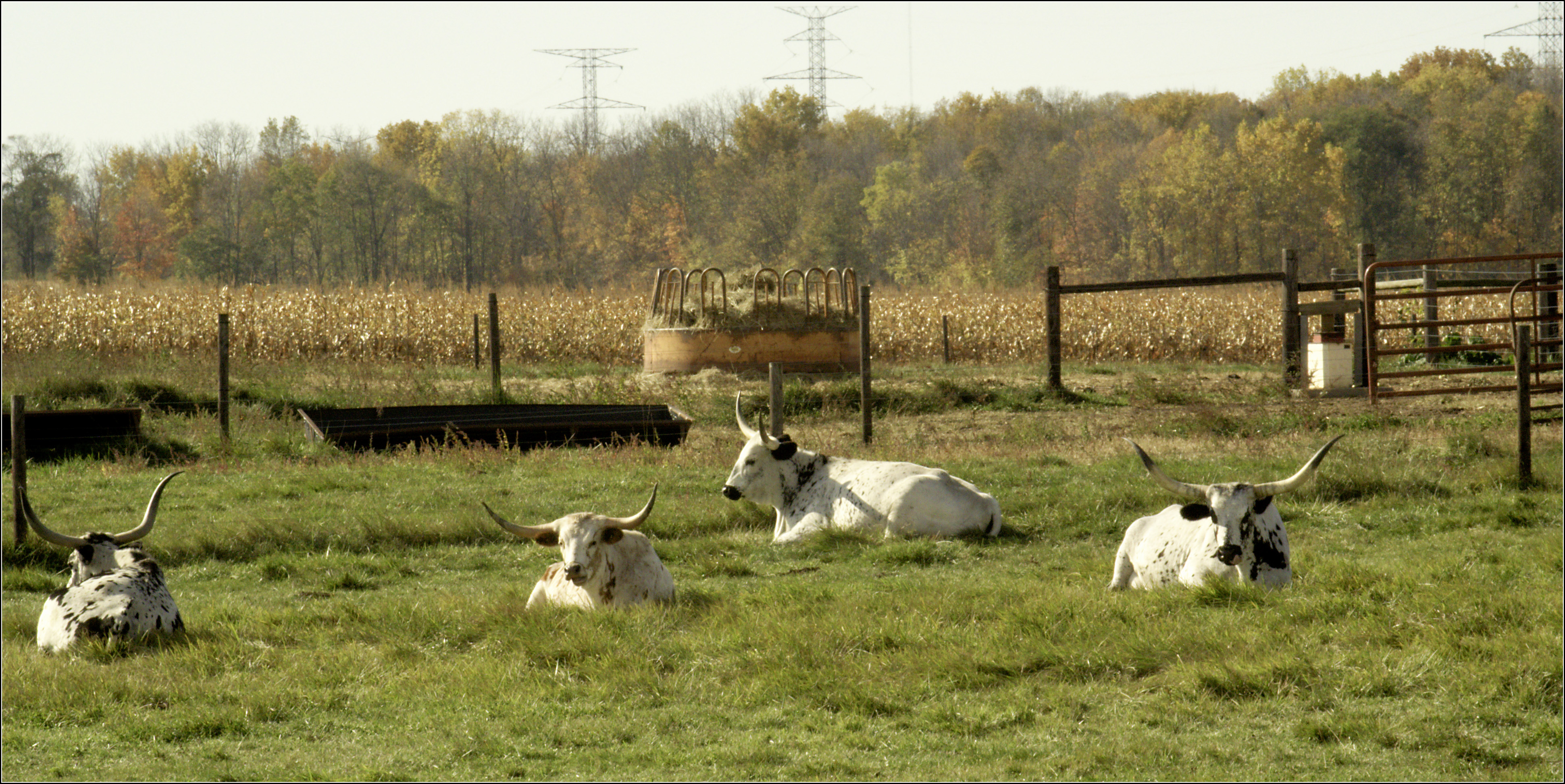
Long Horns

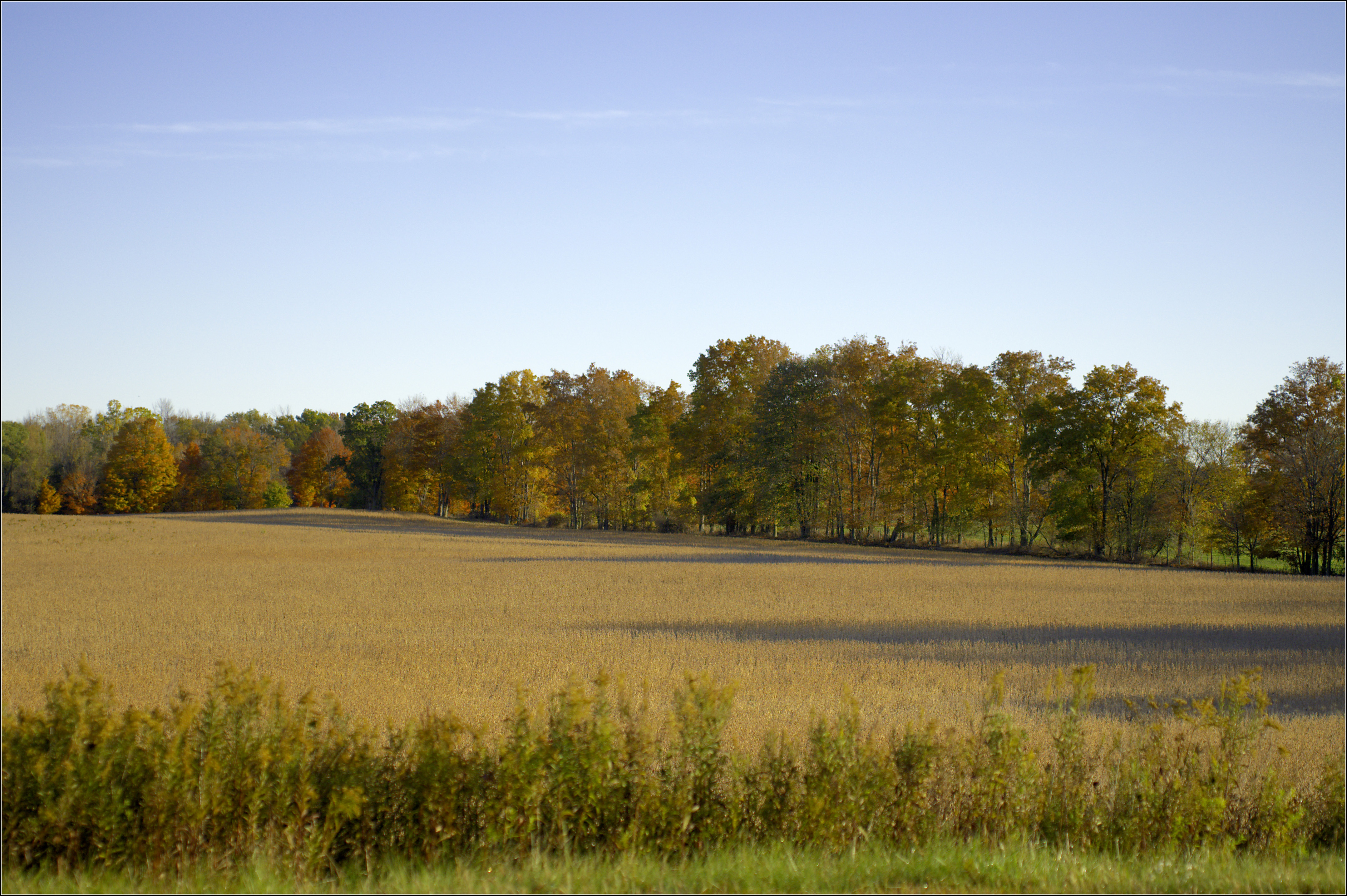
Field and Sky, with Trees
One Lane Traffic

Blue fog

Beautiful River
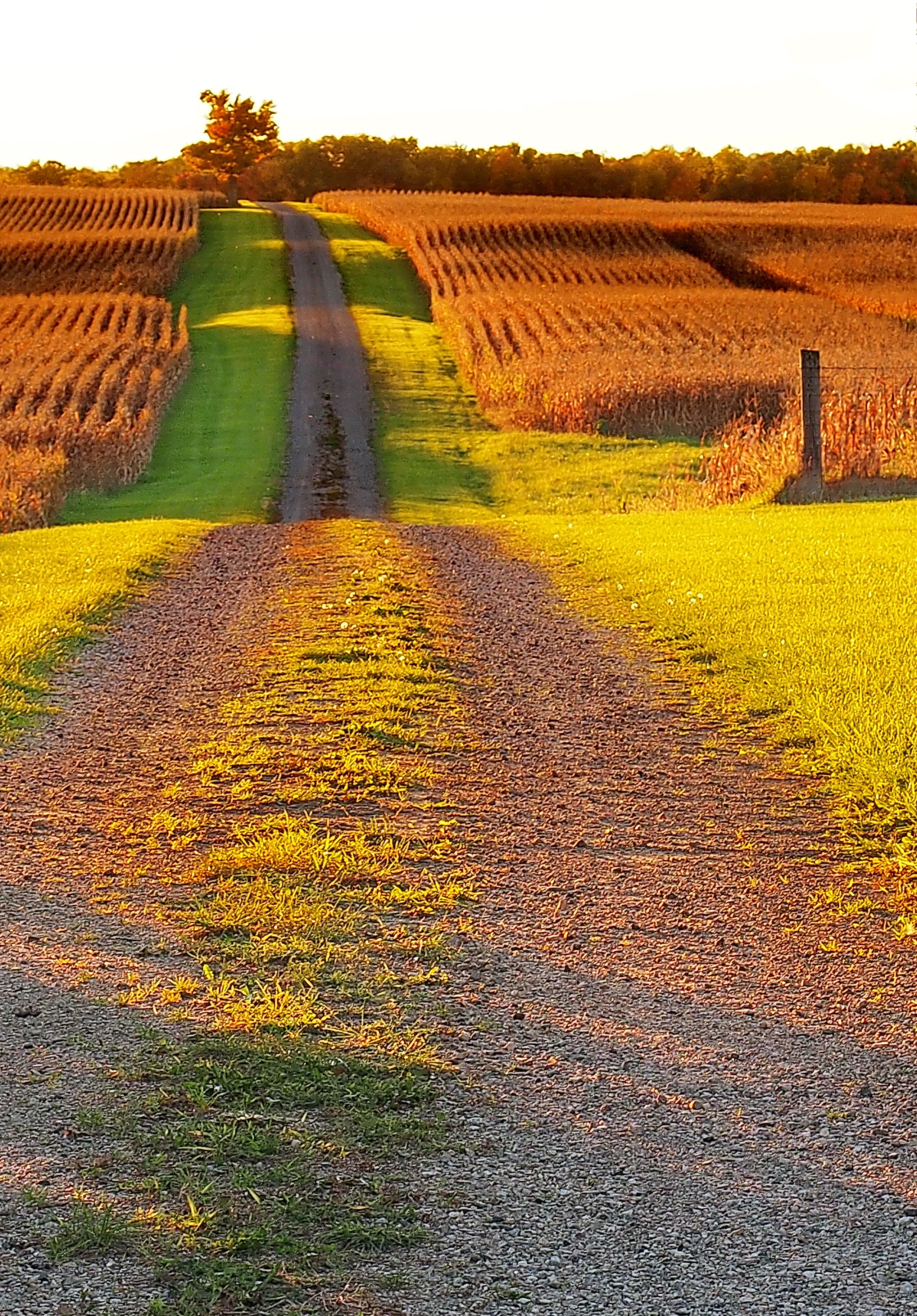
A Track Across the Field
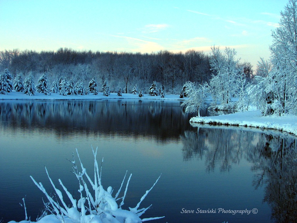
Cool Lake

Ridin' that train... #michigan
Island City Historic District
The Never-ending Conclusion Flows On
No Walls
The Grand River (Eaton Rapids, Michigan)
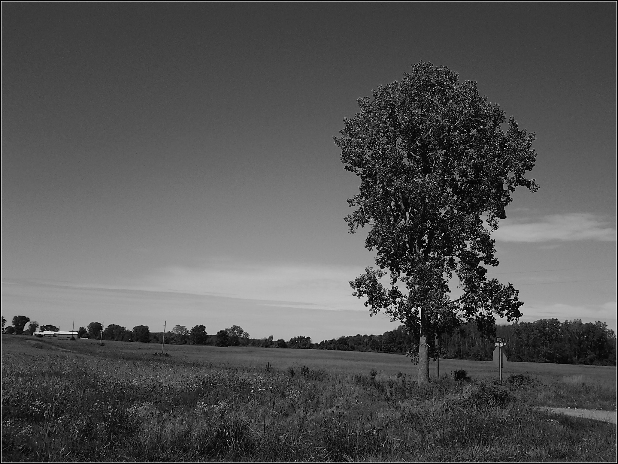
Strange Highway, with tree
North from Needmore
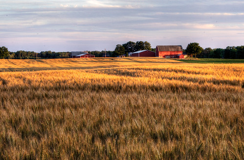
Sunset-On-Field
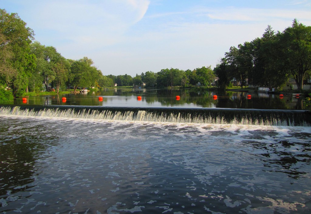
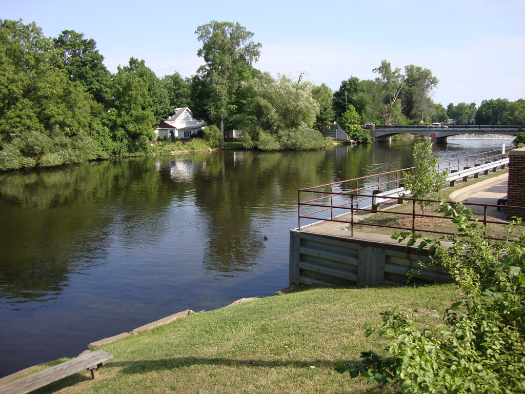
Grand River at Eaton Rapids
Topographic Map of Charlotte, MI, USA
Find elevation by address:

Places near Charlotte, MI, USA:
118 E Lawrence Ave
917 Chads Way
1565 W 5 Point Hwy
Eaton County
5675 Thornton Hwy
W Needmore Hwy, Grand Ledge, MI, USA
792 W Needmore Hwy
320 S Main St
Olivet
23413 21 Mile Rd
Eaton Rapids Township
Oneida Charter Township
Roxand Township
23 Mile Rd, Marshall, MI, USA
Windsor Charter Township
Saginaw Hwy, Mulliken, MI, USA
Eaton Rapids
Lee Township
Vermontville Township
11813 Shady Pines Dr
Recent Searches:
- Elevation of Pykes Down, Ivybridge PL21 0BY, UK
- Elevation of Jalan Senandin, Lutong, Miri, Sarawak, Malaysia
- Elevation of Bilohirs'k
- Elevation of 30 Oak Lawn Dr, Barkhamsted, CT, USA
- Elevation of Luther Road, Luther Rd, Auburn, CA, USA
- Elevation of Unnamed Road, Respublika Severnaya Osetiya — Alaniya, Russia
- Elevation of Verkhny Fiagdon, North Ossetia–Alania Republic, Russia
- Elevation of F. Viola Hiway, San Rafael, Bulacan, Philippines
- Elevation of Herbage Dr, Gulfport, MS, USA
- Elevation of Lilac Cir, Haldimand, ON N3W 2G9, Canada